Embed Size (px)
DESCRIPTION
Learn techniques for solving 7 common AutoCAD challenges. First, discover how to perform high-fidelity data exchange between AutoCAD and Esri ArcGIS. Next, see how to sync your AutoCAD design with external data sources – including databases, GPX, and CSV – and then automatically label any new inputs, such as with parcels. Plus see how to restructure between CAD standards and perform automated QA on your data.
Citation preview

How to Overcome 7 Top
AutoCADRoadblocks

Dale Lutz Dave Campanas
Who’s Presenting

Chat us your
QUESTIONSwe follow-up quick as a flash
What we do:
Connect. Transform. Automate.
Time for a POLL!
POLL!
POLL!
POLL!
What are your biggest CAD
data exchange problems?
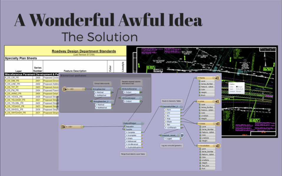
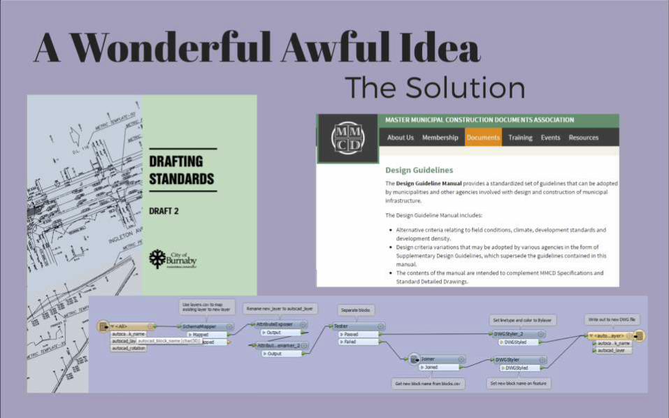
Puzzler to Solve
Convert AutoCAD drawings
into a GIS dataset by
combining the CAD data
with the specification
database.
screenshot
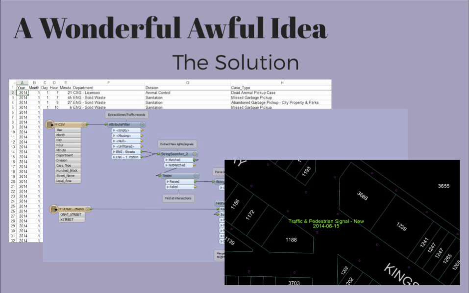
A Wonderful Awful IdeaThe Solution
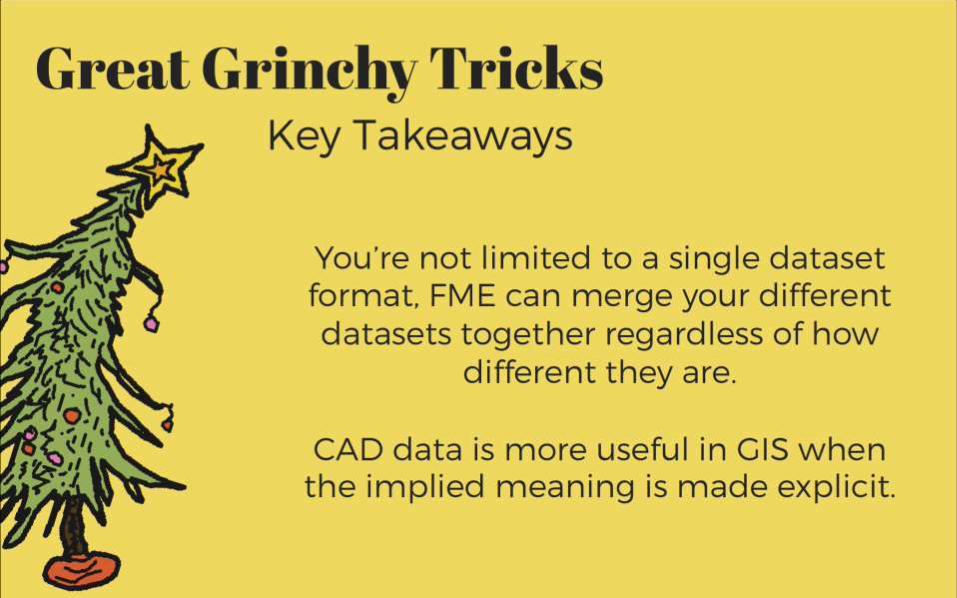
Great Grinchy TricksKey Takeaways
You’re not limited to a single dataset
format, FME can merge your different
datasets together regardless of how
different they are.
CAD data is more useful in GIS when the
implied meaning is made explicit.
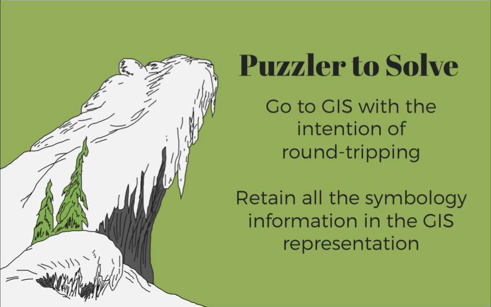
Puzzler to Solve
Go to GIS with the intention
of
round-tripping
Retain all the symbology
information in the GIS
representation
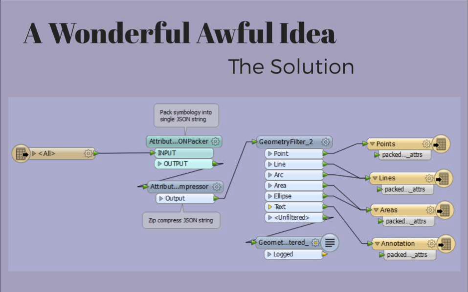
A Wonderful Awful IdeaThe Solution
Great Grinchy TricksKey Takeaways
Pack all the CAD symbology
into a opaque single blob
attribute to restore on the
way back
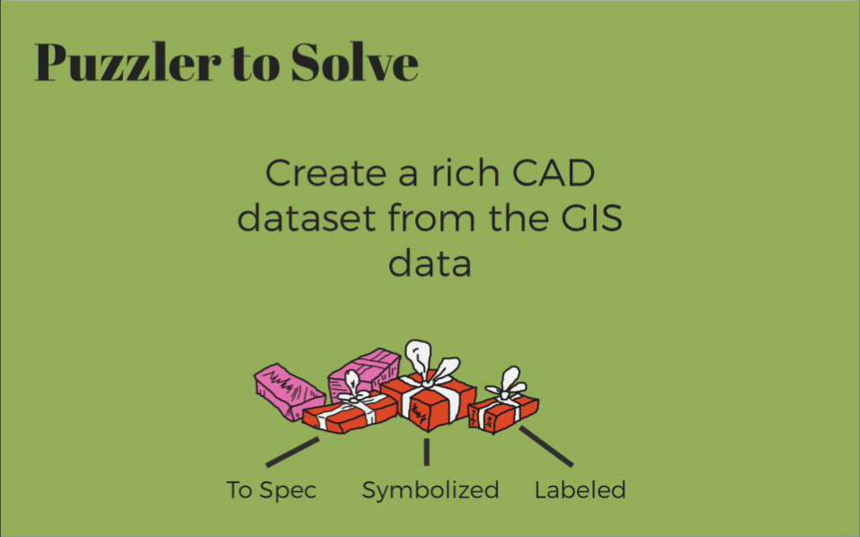
Puzzler to Solve
Create a rich CAD dataset
from the GIS data
To Spec Symbolized Labeled
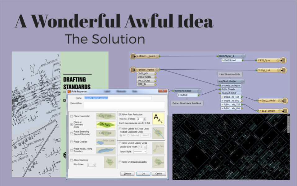
A Wonderful Awful IdeaThe Solution
Great Grinchy TricksKey Takeaways
We can use external standards,
templates and labeling to enrich
the symbology of GIS data as it
goes to CAD
Automatically update your CAD
map with external data
Puzzler to Solve
A Wonderful Awful IdeaThe Solution
Great Grinchy TricksKey Takeaways
Automatically enhance your
CAD data with collected field
data

Puzzler to Solve
Migrate CAD data from
one spec to another
A Wonderful Awful IdeaThe Solution

Great Grinchy TricksKey Takeaways
Use external database to
map blocks and layers from
old to new
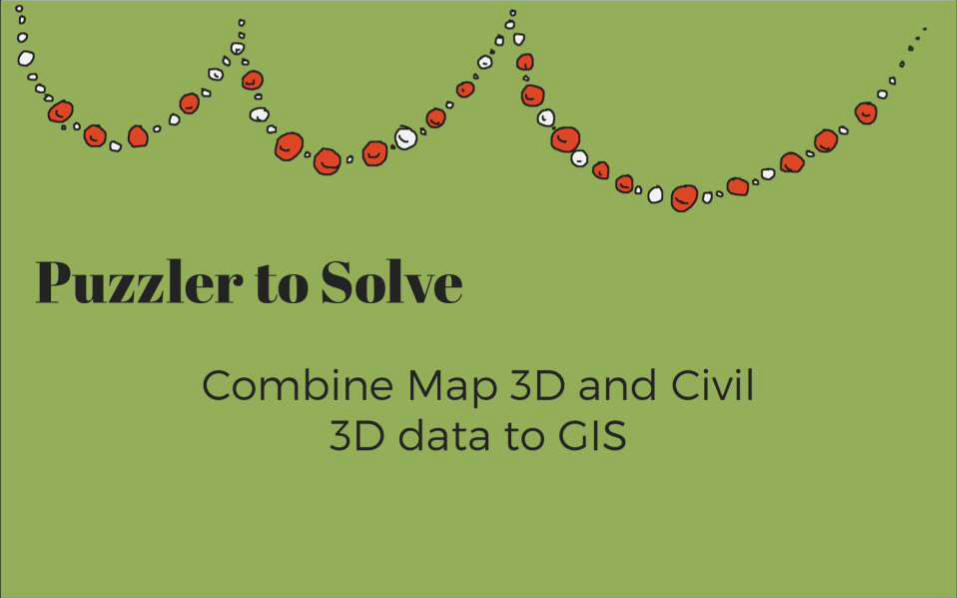
Combine Map 3D and Civil 3D
data to GIS
Puzzler to Solve
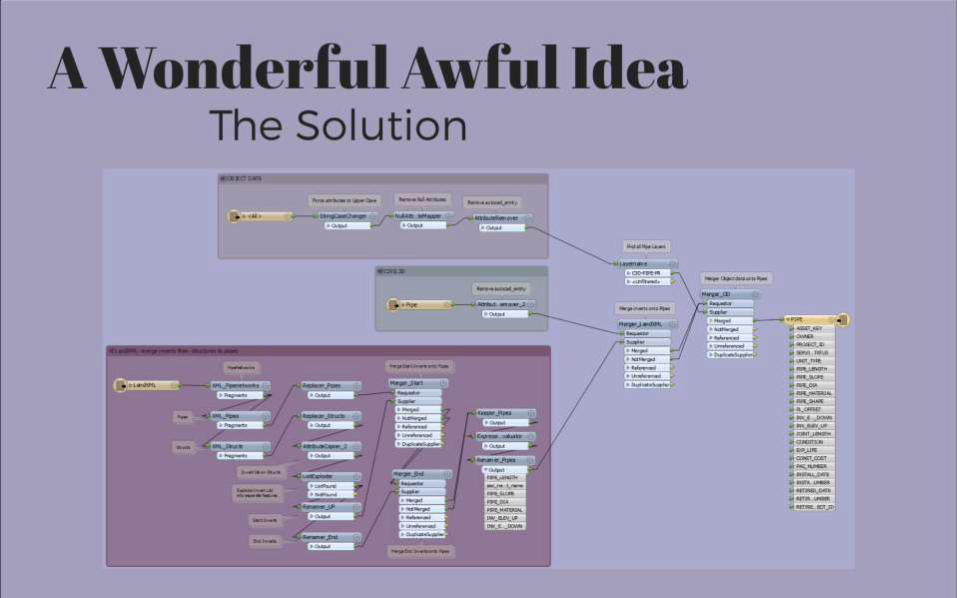
A Wonderful Awful IdeaThe Solution
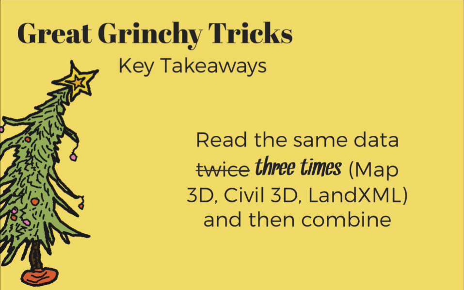
Great Grinchy TricksKey Takeaways
Read the same data
twice three times (Map
3D, Civil 3D, LandXML)
and then combine

Puzzler to Solve
Ultimate automation with
naughty or nice data
fme.ly/whoville
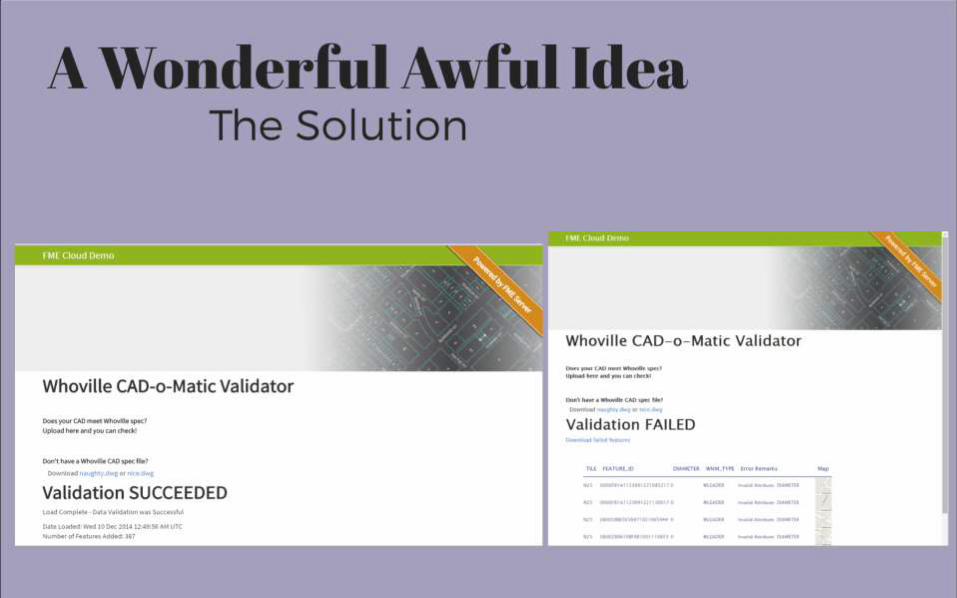
Screenshot of bad data
A Wonderful Awful IdeaThe Solution
Great Grinchy TricksKey Takeaways
Save time by having
users validate their own
CAD data

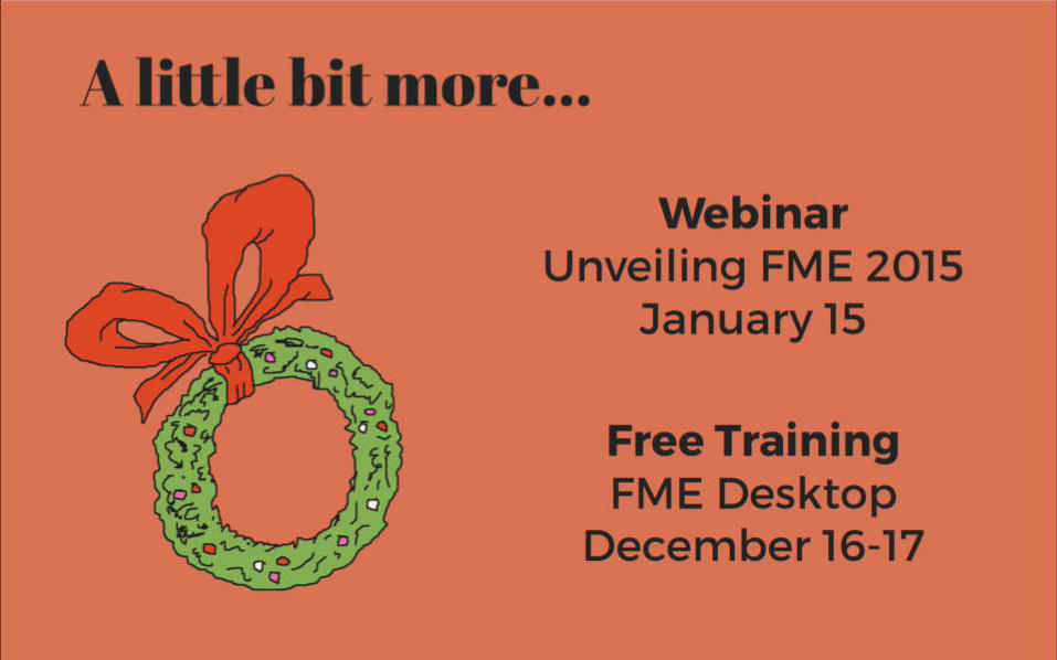
A little bit more…
Free Training
FME Desktop
December 16-17
Webinar
Unveiling FME 2015
January 15
A
3-times-the-size heartfelt thank you:
Herman Louie
City of Burnaby