Embed Size (px)
Citation preview
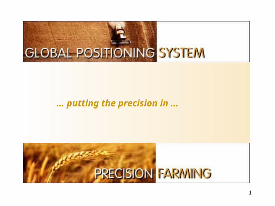
1
… putting the precision in ...
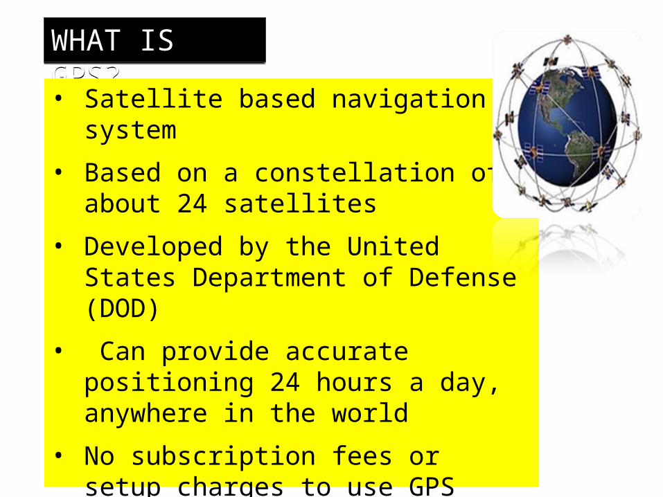
WHAT IS GPS?• Satellite based navigation system
• Based on a constellation of about 24 satellites
• Developed by the United States Department of Defense (DOD)
• Can provide accurate positioning 24 hours a day, anywhere in the world
• No subscription fees or setup charges to use GPS
• GPS satellites also called NAVSTAR, the official U.S. DOD name for GPS
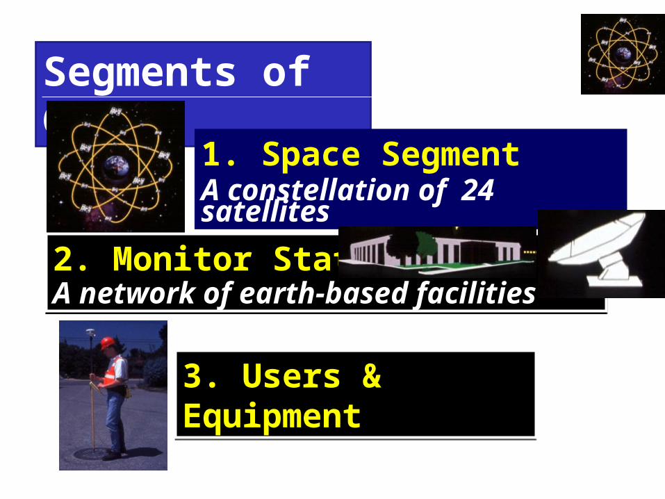
Segments of GPS
1. Space SegmentA constellation of 24 satellites
2. Monitor StationA network of earth-based facilities
3. Users & Equipment
Source:Trimble
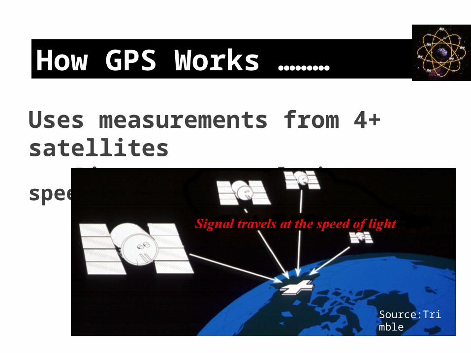
How GPS Works ………
Uses measurements from 4+ satellitesDistance = travel time x speed of light
Source:Trimble
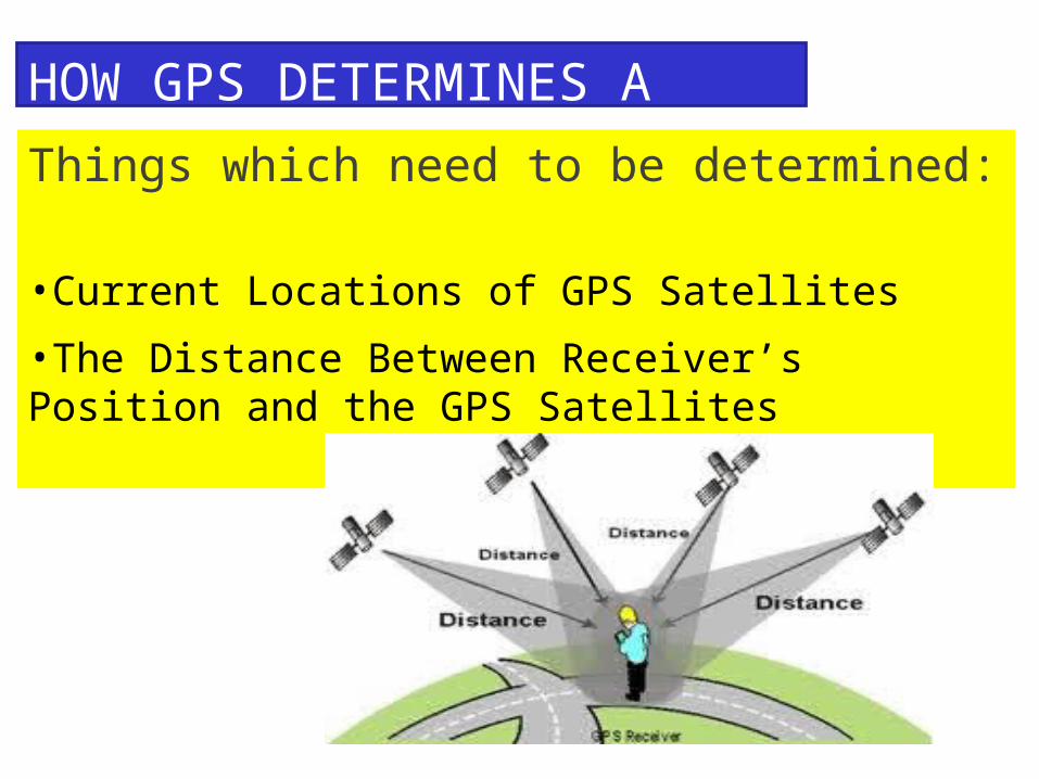
HOW GPS DETERMINES A LOCATIONThings which need to be determined: •Current Locations of GPS Satellites
•The Distance Between Receiver’s Position and the GPS Satellites
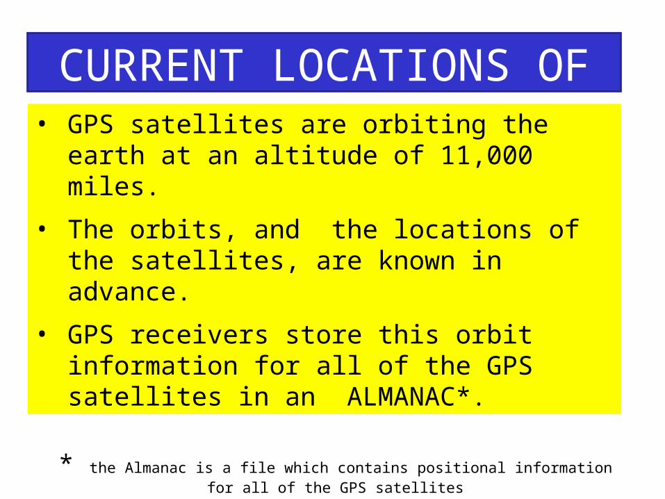
CURRENT LOCATIONS OF GPS SATELLITES• GPS satellites are orbiting the earth at an altitude of
11,000 miles.
• The orbits, and the locations of the satellites, are known in advance.
• GPS receivers store this orbit information for all of the GPS satellites in an ALMANAC*.
* the Almanac is a file which contains positional information for all of the GPS satellites
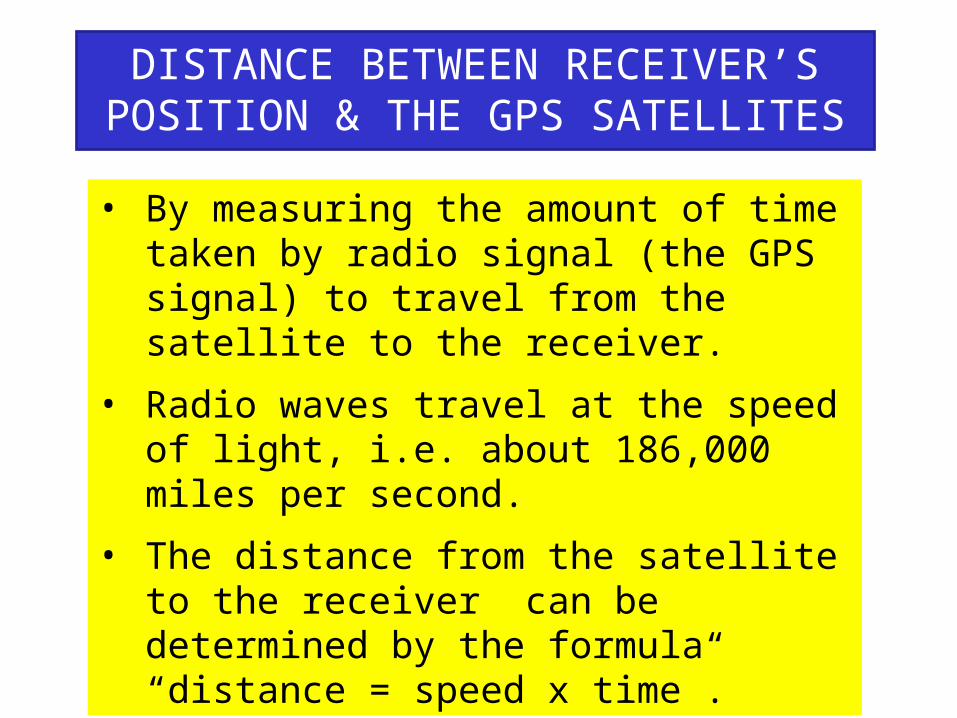
DISTANCE BETWEEN RECEIVER’S POSITION & THE GPS SATELLITES• By measuring the amount of time taken by
radio signal (the GPS signal) to travel from the satellite to the receiver.
• Radio waves travel at the speed of light, i.e. about 186,000 miles per second.
• The distance from the satellite to the receiver can be determined by the formula “distance = speed x time”.
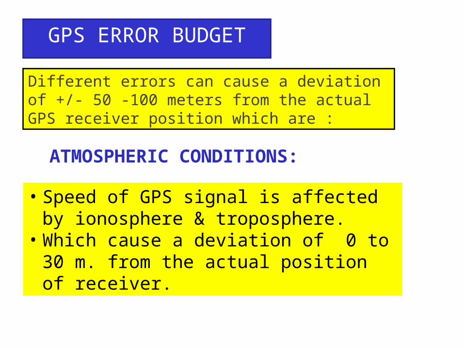
GPS ERROR BUDGET
Different errors can cause a deviation of +/- 50 -100 meters from the actual GPS receiver position which are :
ATMOSPHERIC CONDITIONS:
• Speed of GPS signal is affected by ionosphere & troposphere.
• Which cause a deviation of 0 to 30 m. from the actual position of receiver.
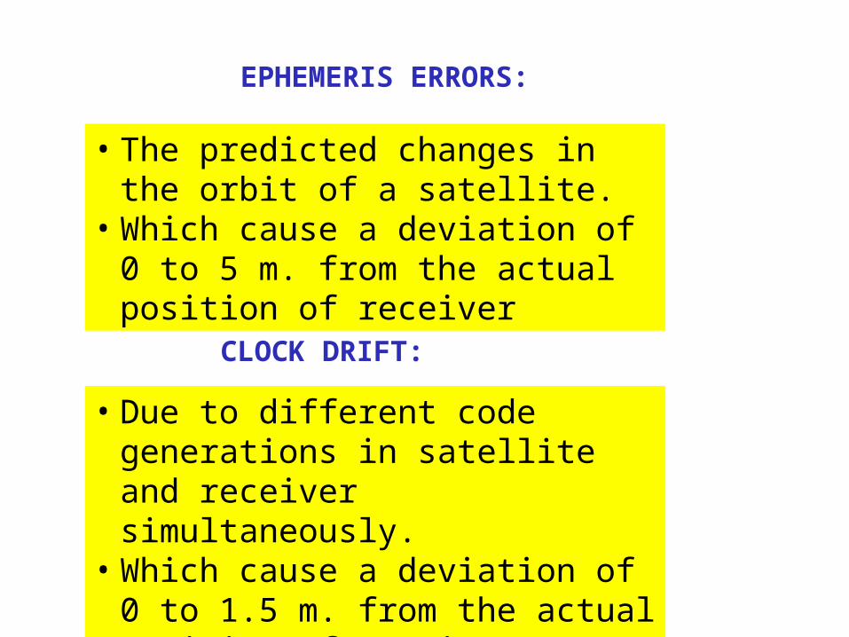
EPHEMERIS ERRORS:
• The predicted changes in the orbit of a satellite.
• Which cause a deviation of 0 to 5 m. from the actual position of receiver
CLOCK DRIFT:
• Due to different code generations in satellite and receiver simultaneously.
• Which cause a deviation of 0 to 1.5 m. from the actual position of receiver
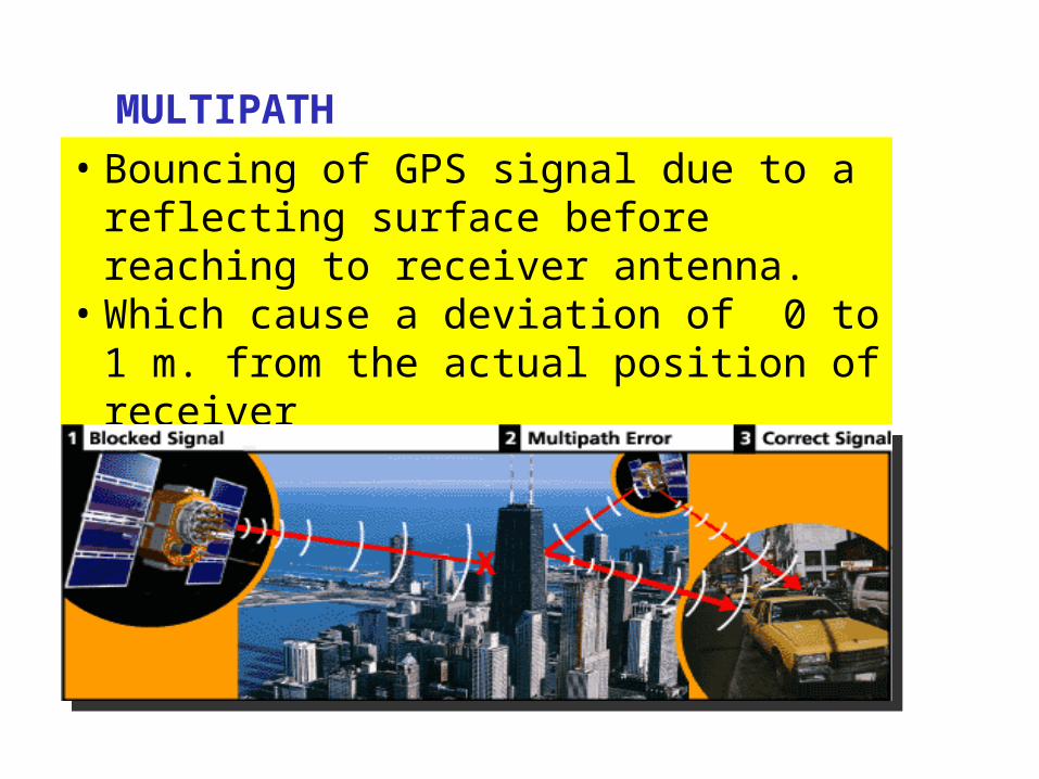
MULTIPATH:• Bouncing of GPS signal due to a reflecting
surface before reaching to receiver antenna.• Which cause a deviation of 0 to 1 m. from the
actual position of receiver
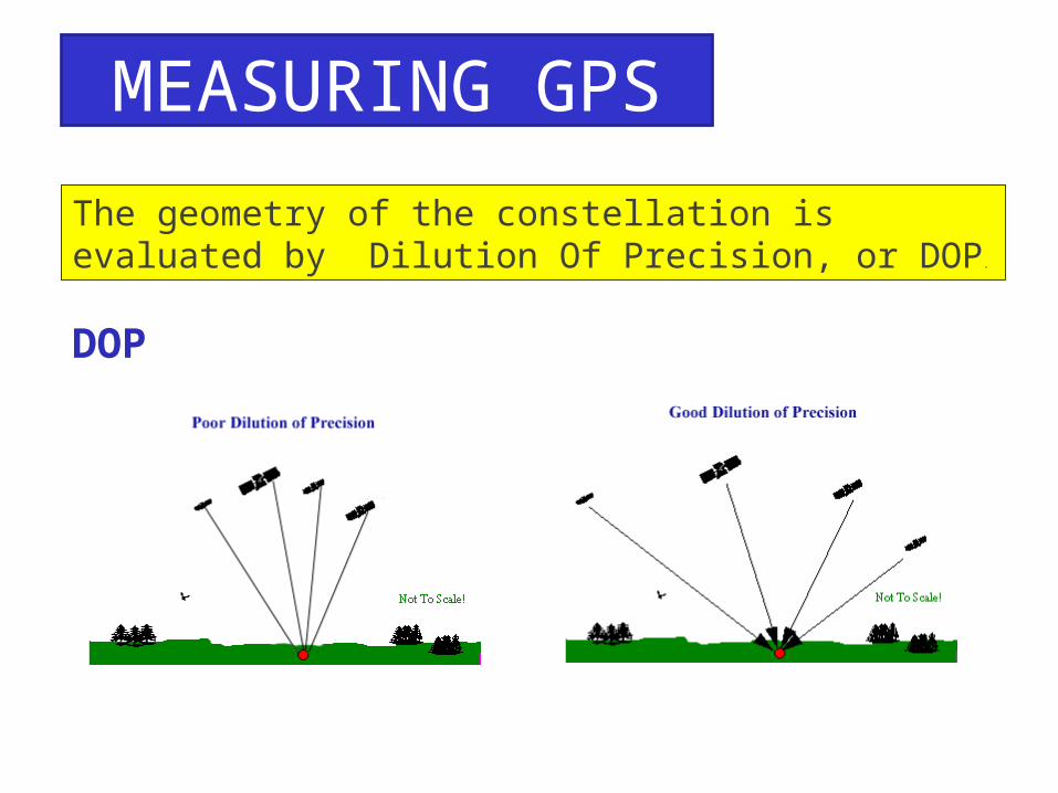
MEASURING GPS ACCURACY
The geometry of the constellation is evaluated by Dilution Of Precision, or DOP.
DOP
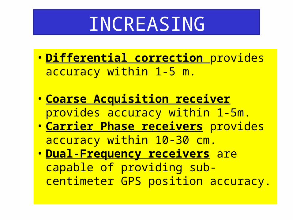
INCREASING ACCURACY OF GPS• Differential correction provides accuracy within
1-5 m.
• Coarse Acquisition receiver provides accuracy within 1-5m.
• Carrier Phase receivers provides accuracy within 10-30 cm.
• Dual-Frequency receivers are capable of providing sub-centimeter GPS position accuracy.
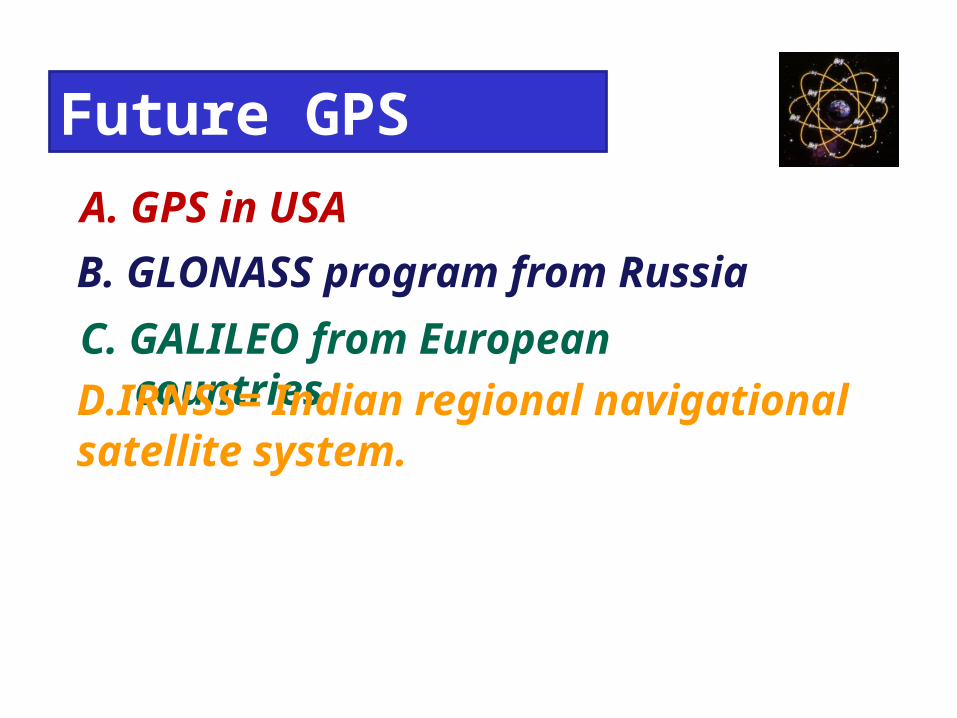
Future GPS A. GPS in USAB. GLONASS program from RussiaC. GALILEO from European countriesD.IRNSS= Indian regional navigational satellite system.
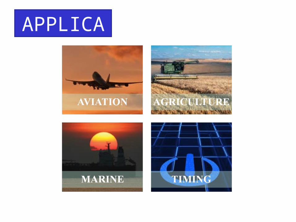
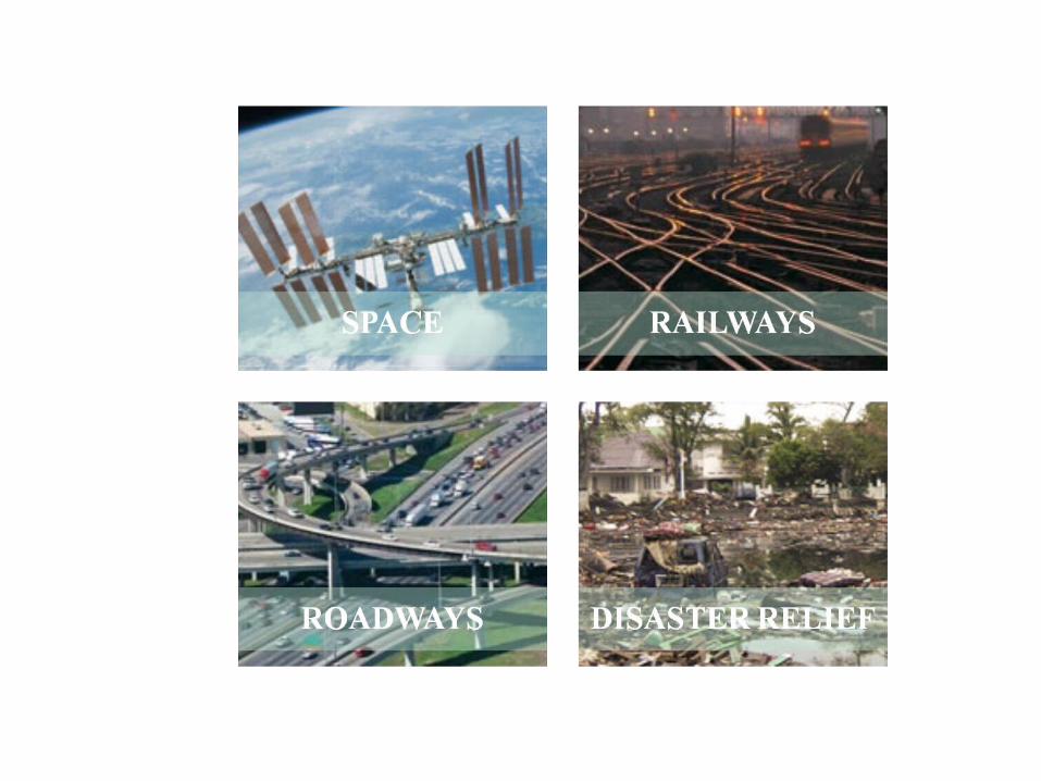
APPLICATIONS
16
Precision farming is a series of tools that allow farm managers to make decisions based on needs of specific areas.
In essence, it is the ‘art’ of tailoring soil and crop management applications to fit varying conditions in the field.
“... changing the traditional process of farming by the square mile to farming by the square meter…”
What is Precision Farming?
17
• Computerized GIS maps and databases that analyze data from the following:
• Crop, soil, and positioning sensors
• Machine controls that guide field equipment
We will concentrate on how GPS technologyaffects each of these areas...
Precision Farming tools can be divided into three categories:
18
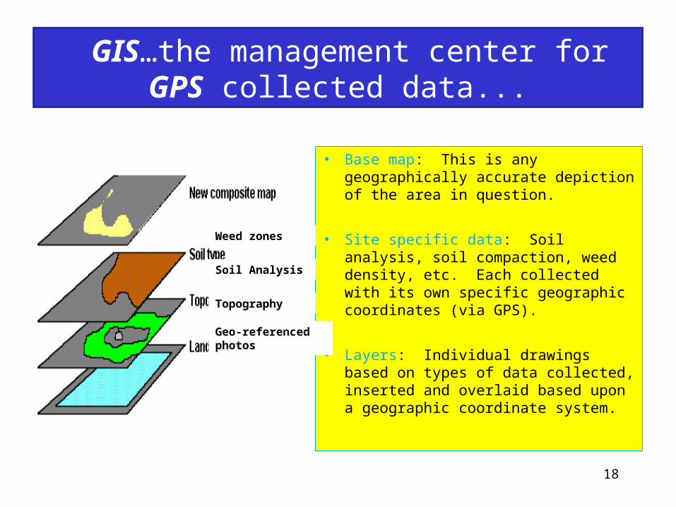
• Base map: This is any geographically accurate depiction of the area in question.
• Site specific data: Soil analysis, soil compaction, weed density, etc. Each collected with its own specific geographic coordinates (via GPS).
• Layers: Individual drawings based on types of data collected, inserted and overlaid based upon a geographic coordinate system.
Weed zones
Soil Analysis
Topography
Geo-referenced photos
GIS…the management center for GPS collected data...
19
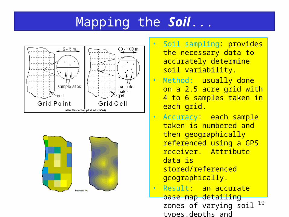
• Soil sampling: provides the necessary data to accurately determine soil variability.
• Method: usually done on a 2.5 acre grid with 4 to 6 samples taken in each grid.
• Accuracy: each sample taken is numbered and then geographically referenced using a GPS receiver. Attribute data is stored/referenced geographically.
• Result: an accurate base map detailing zones of varying soil types,depths and nutrient levels, allowing farm managers to determine appropriate fertilization applications for each zone.
Mapping the Soil...
20
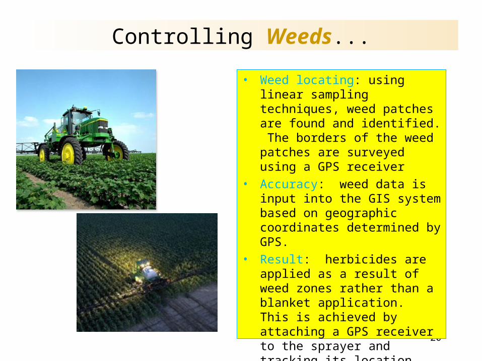
Controlling Weeds...
• Weed locating: using linear sampling techniques, weed patches are found and identified. The borders of the weed patches are surveyed using a GPS receiver
• Accuracy: weed data is input into the GIS system based on geographic coordinates determined by GPS.
• Result: herbicides are applied as a result of weed zones rather than a blanket application. This is achieved by attaching a GPS receiver to the sprayer and tracking its location over these predetermined zones. When the sprayer enters/exits a weed zone, valves are adjusted by the on-board computer to meet the needs of each zone.
21
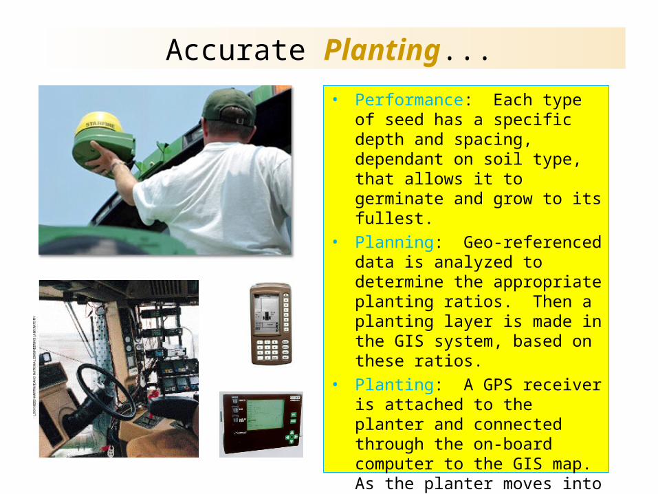
Accurate Planting...• Performance: Each type of seed has
a specific depth and spacing, dependant on soil type, that allows it to germinate and grow to its fullest.
• Planning: Geo-referenced data is analyzed to determine the appropriate planting ratios. Then a planting layer is made in the GIS system, based on these ratios.
• Planting: A GPS receiver is attached to the planter and connected through the on-board computer to the GIS map. As the planter moves into different geographic regions, the GIS system controls the depth of the planter as well as the spacing of the seeds. This approach optimizes the growth and production of each seed.
22
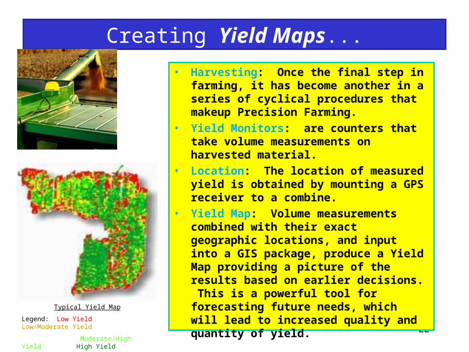
Creating Yield Maps...
Typical Yield Map
Legend: Low Yield Low/Moderate Yield
Moderate/High Yield High Yield
• Harvesting: Once the final step in farming, it has become another in a series of cyclical procedures that makeup Precision Farming.
• Yield Monitors: are counters that take volume measurements on harvested material.
• Location: The location of measured yield is obtained by mounting a GPS receiver to a combine.
• Yield Map: Volume measurements combined with their exact geographic locations, and input into a GIS package, produce a Yield Map providing a picture of the results based on earlier decisions. This is a powerful tool for forecasting future needs, which will lead to increased quality and quantity of yield.
23
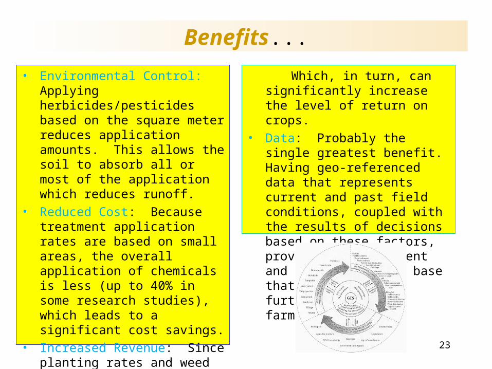
Benefits...
Which, in turn, can significantly increase the level of return on crops.
• Data: Probably the single greatest benefit. Having geo-referenced data that represents current and past field conditions, coupled with the results of decisions based on these factors, provide an intelligent and up-to-date data base that can be used to further enhance the farming process.
• Environmental Control: Applying herbicides/pesticides based on the square meter reduces application amounts. This allows the soil to absorb all or most of the application which reduces runoff.
• Reduced Cost: Because treatment application rates are based on small areas, the overall application of chemicals is less (up to 40% in some research studies), which leads to a significant cost savings.
• Increased Revenue: Since planting rates and weed control are on the micro level, decisions can be made to increase the quality and quantity of yield at every point across the field.
24
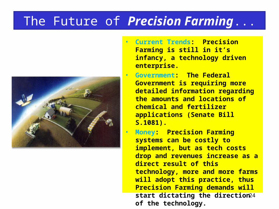
The Future of Precision Farming...• Current Trends: Precision Farming is still
in it’s infancy, a technology driven enterprise.
• Government: The Federal Government is requiring more detailed information regarding the amounts and locations of chemical and fertilizer applications (Senate Bill S.1081).
• Money: Precision Farming systems can be costly to implement, but as tech costs drop and revenues increase as a direct result of this technology, more and more farms will adopt this practice, thus Precision Farming demands will start dictating the direction of the technology.
25
References...
• Using Differential GPS to improve Crop Yields, GPS World, February 1994.• http://www.trimble.com/home/prec_frm.htm• http://www.precisionfarming.com/features/0497Gibbons.html• http://www.precisionfarming.com/features/0497Clark.html• http://www.precisionfarming.com/features/0199feat_pf.html• http://www.precisionfarming.com/PFFAQ.html• http://pasture.ecn.purdue.edu/%7Emmorgan/PFI/over.htm• http://pasture.ecn.purdue.edu/%7Emmorgan/PFI/ess_1.htm• http://www.deere.com/deerecom/Farmers+and+Ranchers/
GreenStar+Precision+Farming+System/default.htm• Matthew Sullivan, Precision Agriculture Specialist, Extension Associate, The
Ohio Sate University Extension; Department of Food, Agriculture and Biological Engineering.