Embed Size (px)
Citation preview
Supervisor:Dr. Mikhail Mikhail
Advisor:Dr. Mohamed
Moustafa
RandaEwada
SamahAhmed
AliEl-Sheikh Mena
Zaki
AhmedEl-Hassafy
NermineAbdel-Salam
Hi, I’m InigatorI Never Get Lost!
In the End ,We Tend To
Remember the Beginnings…
Inspiration:
Quick Scenario
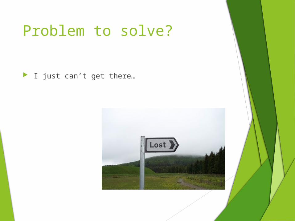
Problem to solve?
I just can’t get there…
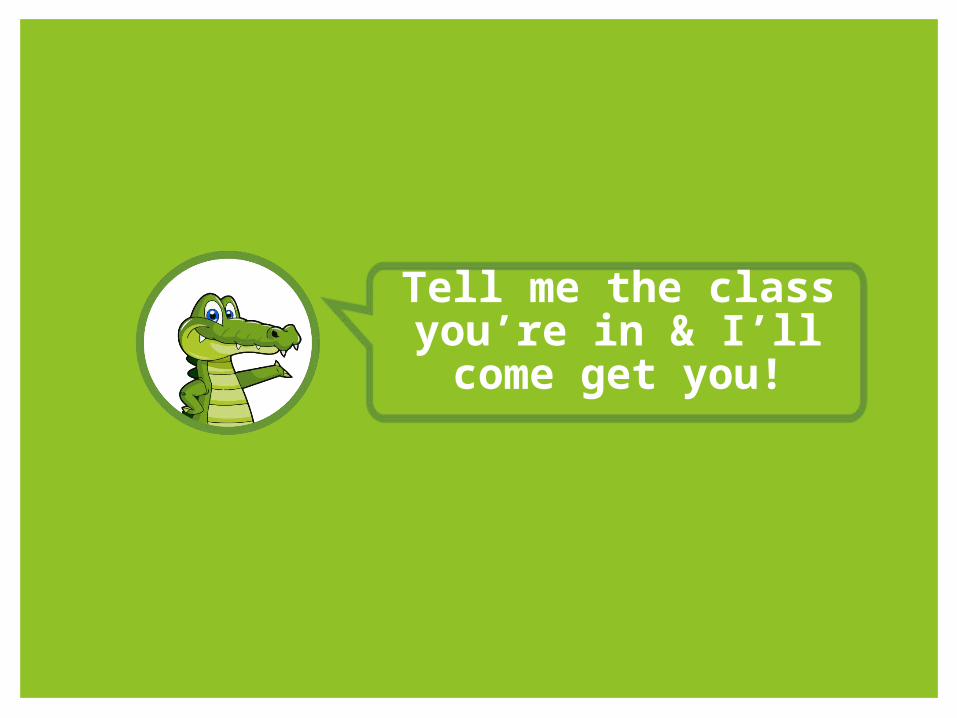
Tell me the class you’re in & I’ll come get you!
Problem?
I don’t even know where am I?
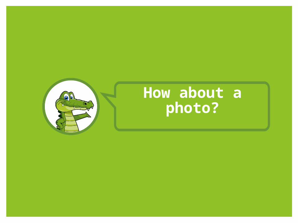
How about a photo?
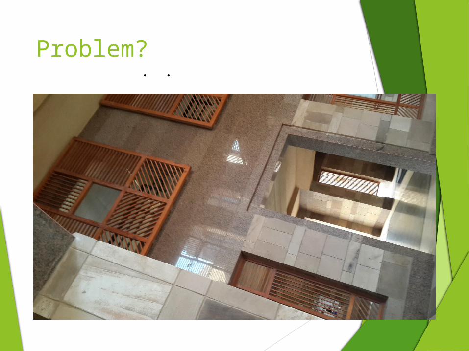
. .
Problem?
Now I’ll just go through my album
and find you!
How about a photo?
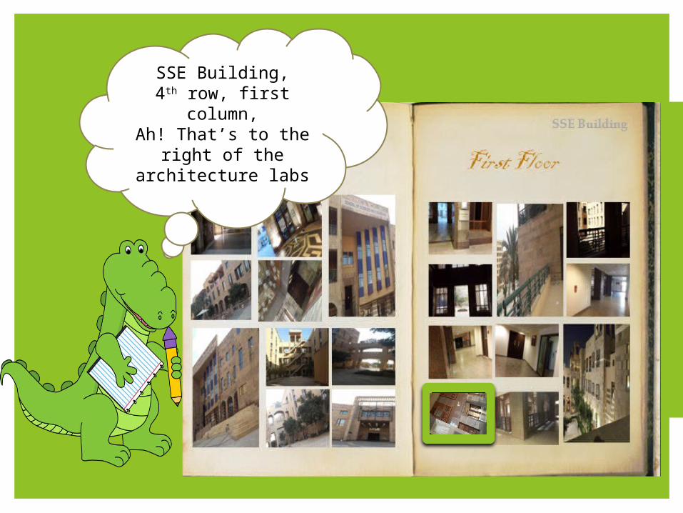
SSE Building,4th row, first column,
Ah! That’s to the right of the
architecture labs
How we actually did it?
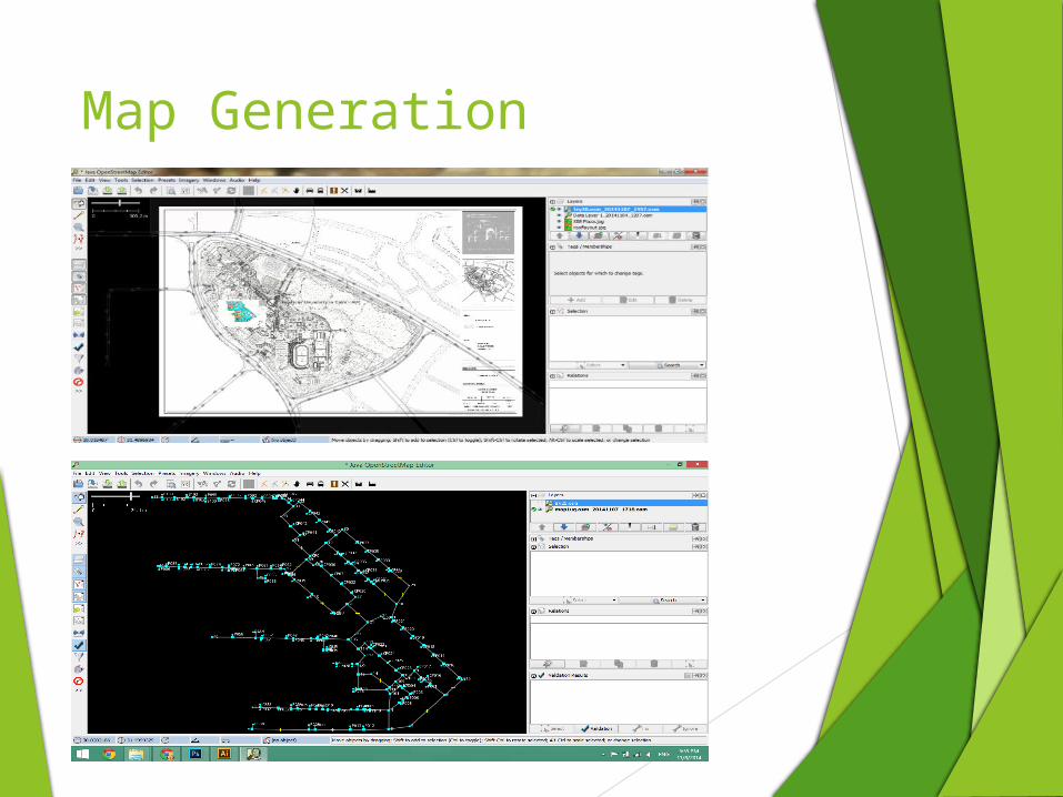
Map Generation
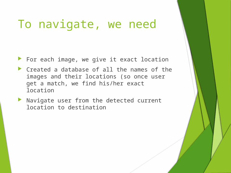
To navigate, we need
For each image, we give it exact location
Created a database of all the names of the images and their locations (so once user get a match, we find his/her exact location
Navigate user from the detected current location to destination
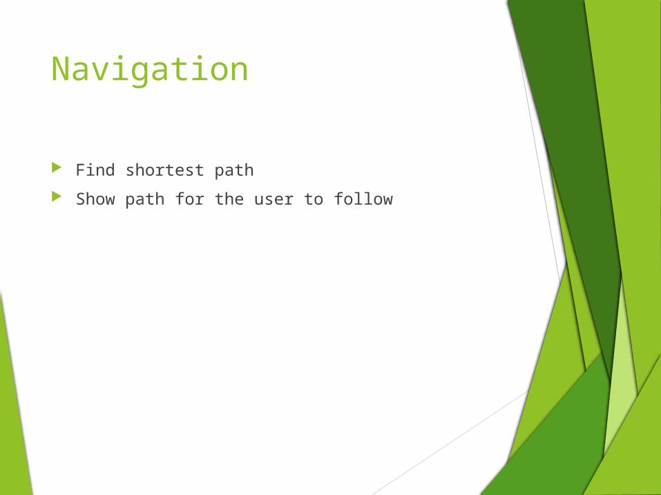
Navigation
Find shortest path
Show path for the user to follow

Tracking
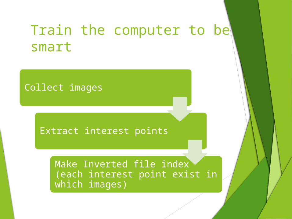
Train the computer to be smart
Collect images
Extract interest points
Make Inverted file index (each interest point exist in which images)
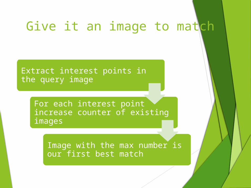
Give it an image to match
Extract interest points in the query image
For each interest point increase counter of existing images
Image with the max number is our first best match
Interface
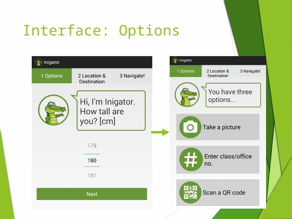
Interface: Options
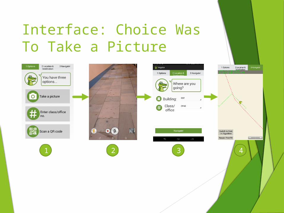
Interface: Choice Was To Take a Picture
1 2 3 4
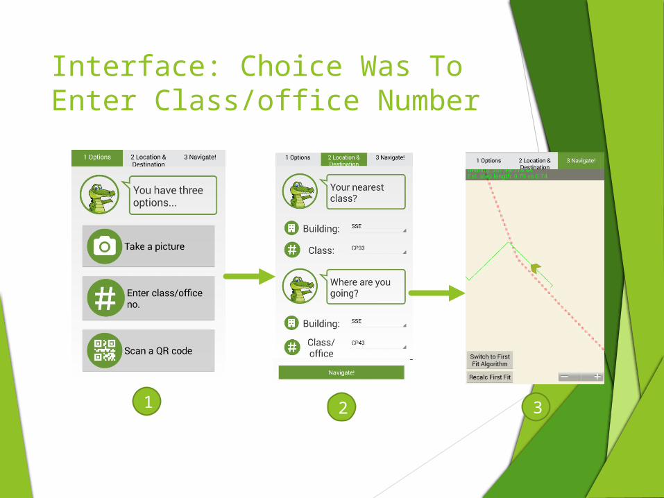
Interface: Choice Was To Enter Class/office Number
1 2 3
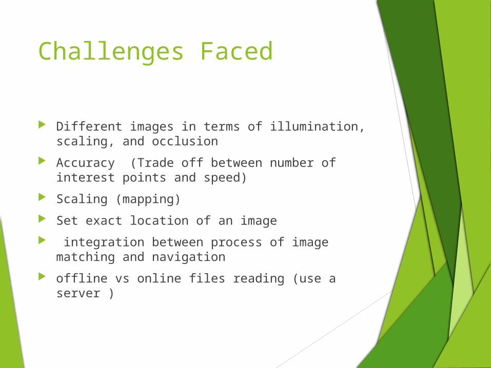
Challenges Faced
Different images in terms of illumination, scaling, and occlusion
Accuracy (Trade off between number of interest points and speed)
Scaling (mapping)
Set exact location of an image
integration between process of image matching and navigation
offline vs online files reading (use a server )
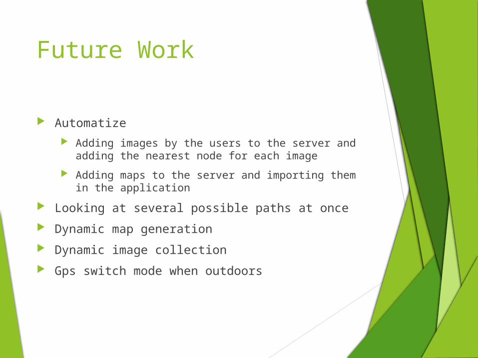
Future Work
Automatize
Adding images by the users to the server and adding the nearest node for each image
Adding maps to the server and importing them in the application
Looking at several possible paths at once
Dynamic map generation
Dynamic image collection
Gps switch mode when outdoors

Demo

Accuracy
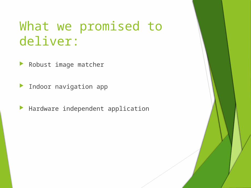
What we promised to deliver:
Robust image matcher
Indoor navigation app
Hardware independent application
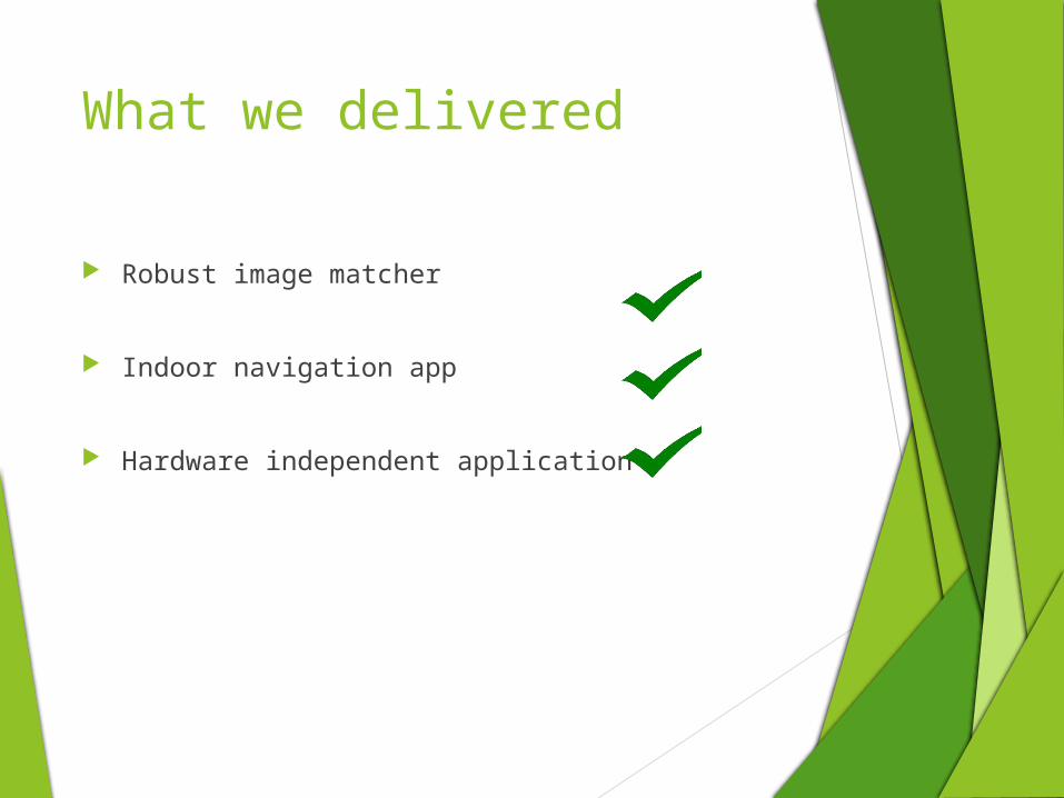
What we delivered
Robust image matcher
Indoor navigation app
Hardware independent application
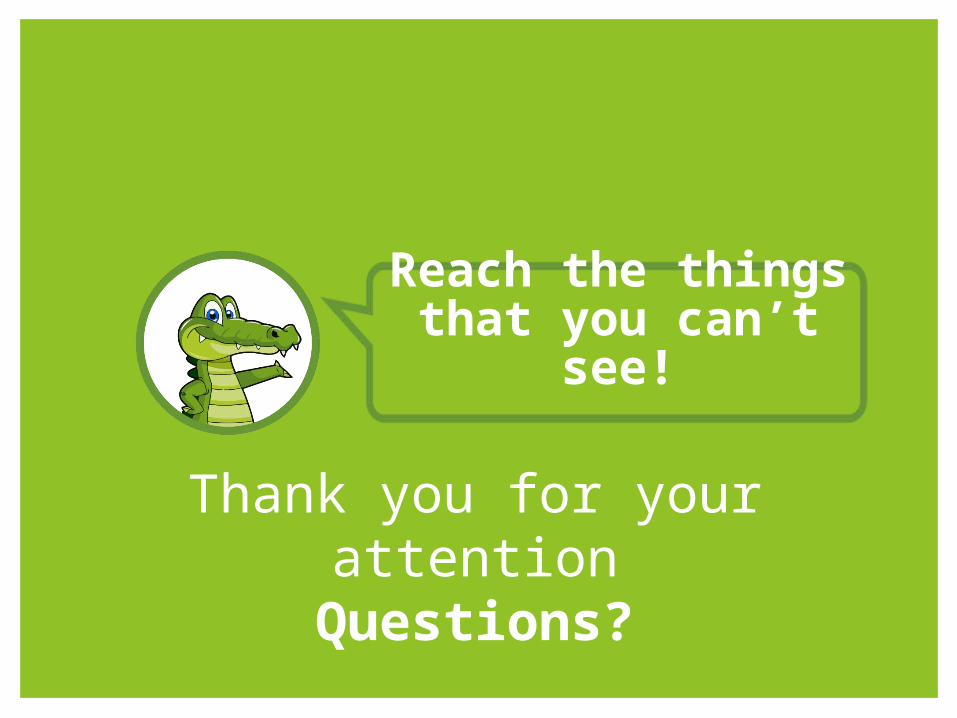
Reach the things that you can’t
see!
Thank you for your attention
Questions?