Embed Size (px)
Citation preview
The European Marine Observation and
Data Network (EMODnet)
JERICO summerschool EMODnet Day
June 17 2014, Deltares, Netherlands
Jan-Bart Calewaert ([email protected])
for the EMODnet Community
Presentation Outline
• What is EMODnet?
• How did we get here?
• Where are we now?
• What’s new?
• What’s next?
What is EMODnet?
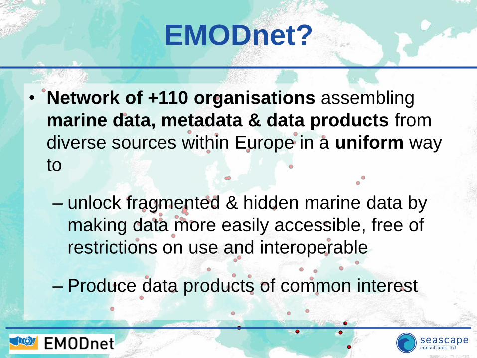
EMODnet?
• Network of +110 organisations assembling
marine data, metadata & data products from
diverse sources within Europe in a uniform way
to
– unlock fragmented & hidden marine data by
making data more easily accessible, free of
restrictions on use and interoperable
– Produce data products of common interest
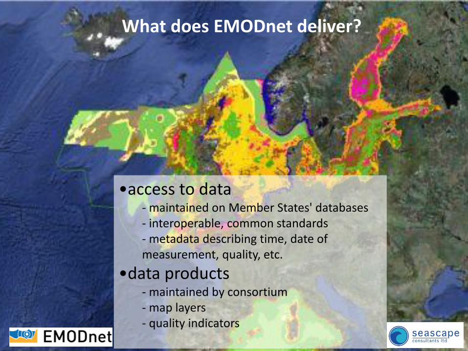
What does EMODnet deliver?
•access to data - maintained on Member States' databases - interoperable, common standards - metadata describing time, date of measurement, quality, etc.
•data products - maintained by consortium - map layers - quality indicators
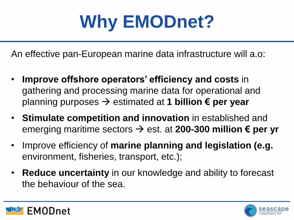
Why EMODnet?
An effective pan-European marine data infrastructure will a.o:
• Improve offshore operators’ efficiency and costs in
gathering and processing marine data for operational and
planning purposes estimated at 1 billion € per year
• Stimulate competition and innovation in established and
emerging maritime sectors est. at 200-300 million € per yr
• Improve efficiency of marine planning and legislation (e.g.
environment, fisheries, transport, etc.);
• Reduce uncertainty in our knowledge and ability to forecast
the behaviour of the sea.
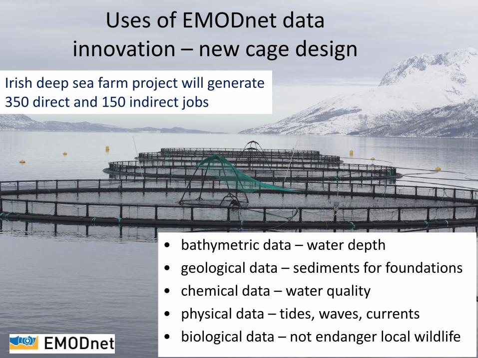
Uses of EMODnet data innovation – new cage design
• bathymetric data – water depth
• geological data – sediments for foundations
• chemical data – water quality
• physical data – tides, waves, currents
• biological data – not endanger local wildlife
Irish deep sea farm project will generate 350 direct and 150 indirect jobs
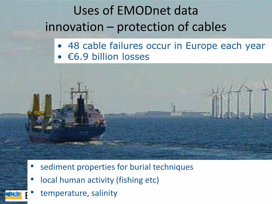
Uses of EMODnet data innovation – protection of cables
• sediment properties for burial techniques
• local human activity (fishing etc)
• temperature, salinity
• 48 cable failures occur in Europe each year • €6.9 billion losses
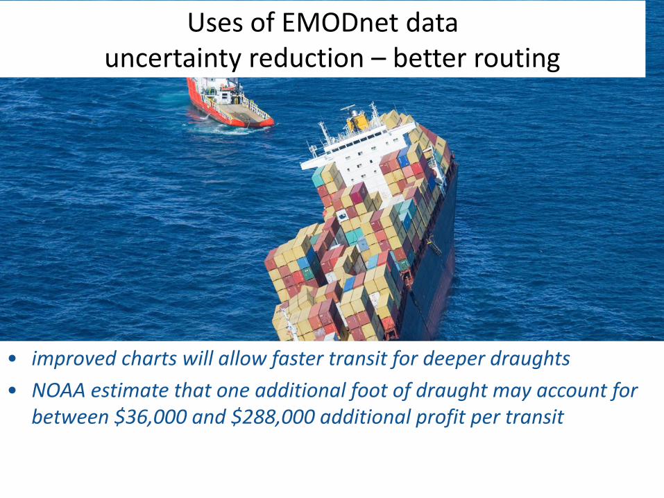
Uses of EMODnet data uncertainty reduction – better routing
• improved charts will allow faster transit for deeper draughts
• NOAA estimate that one additional foot of draught may account for between $36,000 and $288,000 additional profit per transit
Historic background
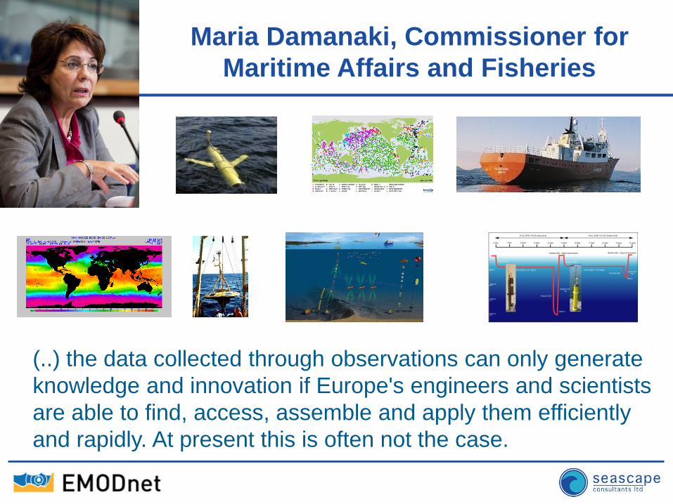
MARITIME AFFAIRS Maria Damanaki, Commissioner for
Maritime Affairs and Fisheries
(..) the data collected through observations can only generate
knowledge and innovation if Europe's engineers and scientists
are able to find, access, assemble and apply them efficiently
and rapidly. At present this is often not the case.
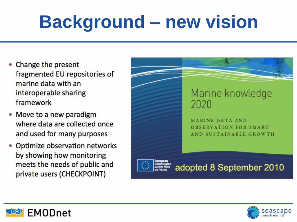
Background – new vision
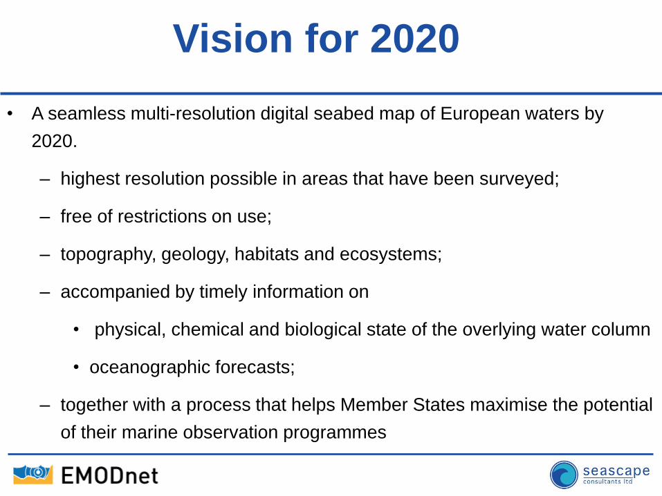
Vision for 2020
• A seamless multi-resolution digital seabed map of European waters by
2020.
– highest resolution possible in areas that have been surveyed;
– free of restrictions on use;
– topography, geology, habitats and ecosystems;
– accompanied by timely information on
• physical, chemical and biological state of the overlying water column
• oceanographic forecasts;
– together with a process that helps Member States maximise the potential
of their marine observation programmes
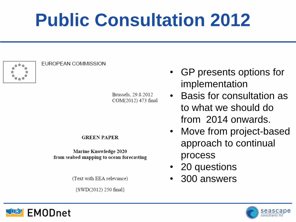
Public Consultation 2012
• GP presents options for
implementation
• Basis for consultation as
to what we should do
from 2014 onwards.
• Move from project-based
approach to continual
process
• 20 questions
• 300 answers
Where are we now?
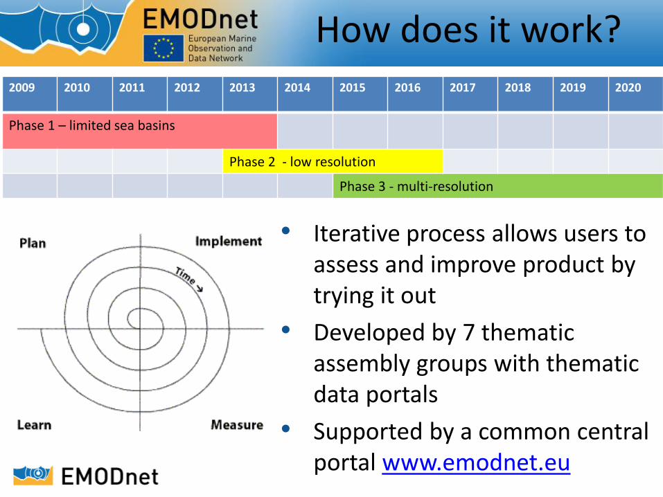
2009 2010 2011 2012 2013 2014 2015 2016 2017 2018 2019 2020
Phase 1 – limited sea basins
Phase 2 - low resolution
Phase 3 - multi-resolution
How does it work?
• Iterative process allows users to assess and improve product by trying it out
• Developed by 7 thematic assembly groups with thematic data portals
• Supported by a common central portal www.emodnet.eu
Bathymetry (Dick Schaap) Geology (Alan Stevenson)
Seabed Habitats (Jacques Populus) Chemistry (Alessandra Giorgetti)
Biology (Simon Claus) Physics (Antonio Novellino)
Human Activities (Alvise Bragadan)
EMODnet thematic portals and coordinators
www.emodnet-bathymetry.eu www.emodnet-geology.eu www.emodnet-seabedhabitats.eu www.emodnet-chemistry.eu www.emodnet-biology.eu www.emodnet-physics.eu www.emodnet-humanactivities.eu
18
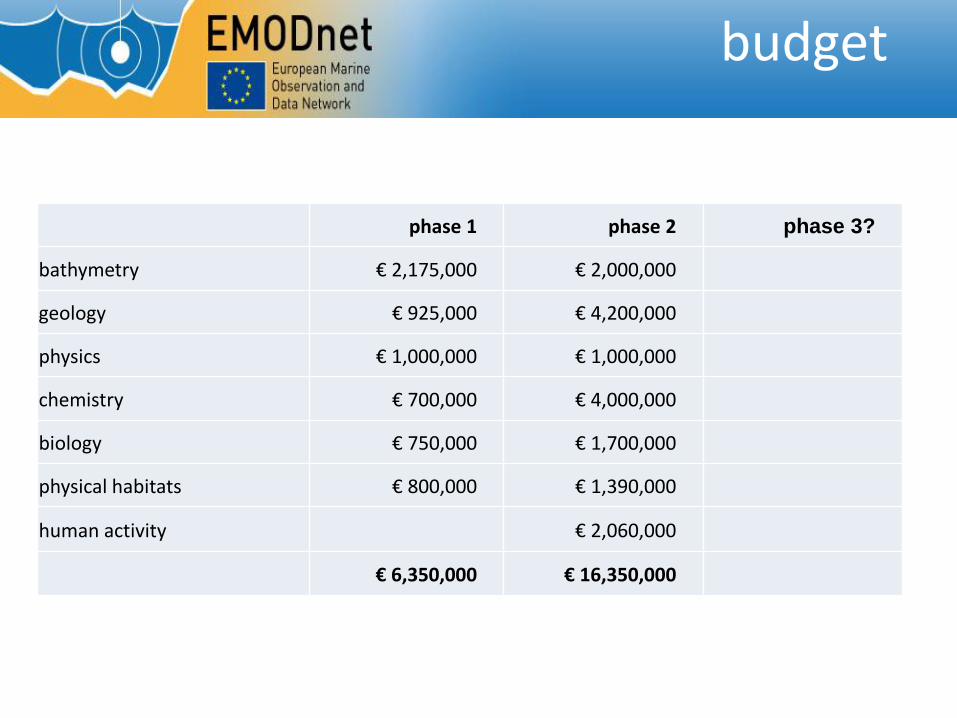
phase 1 phase 2 phase 3?
bathymetry € 2,175,000 € 2,000,000
geology € 925,000 € 4,200,000
physics € 1,000,000 € 1,000,000
chemistry € 700,000 € 4,000,000
biology € 750,000 € 1,700,000
physical habitats € 800,000 € 1,390,000
human activity € 2,060,000
€ 6,350,000 € 16,350,000
budget
Current Status
• Successful launch of EMODnet Phase II
– All thematic and regional lots have kicked off in
2013
• Mobilization of the EMODnet community
– Communication
– Coordination
– Technical improvements
• Streamlining interactions and progress reporting
• Developing more coherence in portal presentation
and functionality operational and fit for purpose
What’s new in this phase?
- EMODnet Central Portal
- EMODnet Human Activities Portal
- EMODnet Sea-basin checkpoints
- EMODnet Secretariat
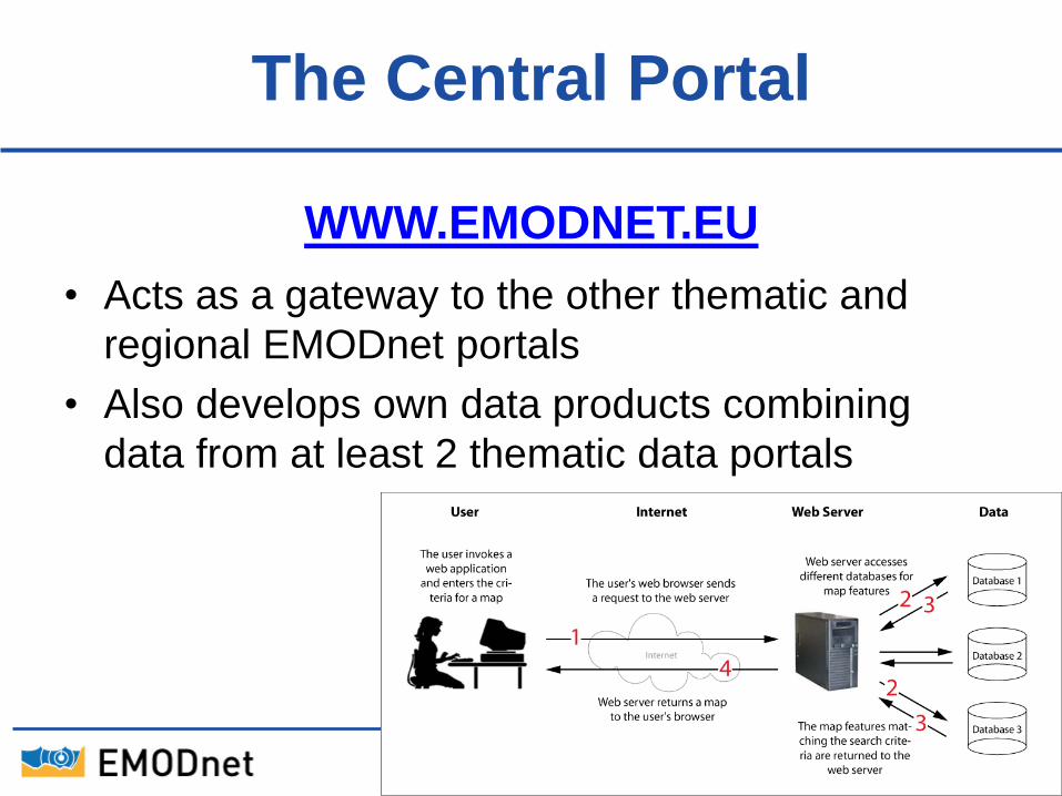
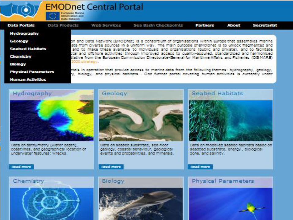
The Central Portal
WWW.EMODNET.EU
• Acts as a gateway to the other thematic and
regional EMODnet portals
• Also develops own data products combining
data from at least 2 thematic data portals
Use Cases
■ Use Cases will be used as a roadmap for
developing the Portal
■ Highlight added value of bringing thematic
data together
■ Generate functional requirements of portal
■ Possible link with sea basin checkpoints?
■ Scientifically – or user need driven
EMODnet
23
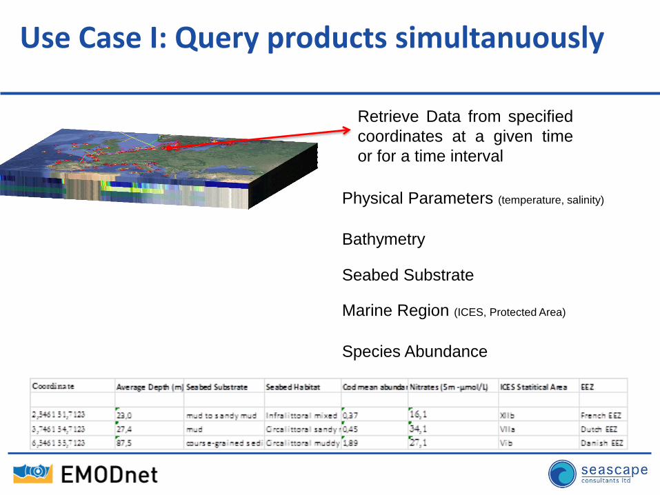
Use Case I: Query products simultanuously
Retrieve Data from specified
coordinates at a given time
or for a time interval
Species Abundance
Marine Region (ICES, Protected Area)
Seabed Substrate
Bathymetry
Physical Parameters (temperature, salinity)
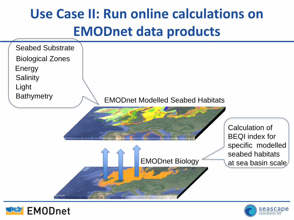
Use Case II: Run online calculations on EMODnet data products
Seabed Substrate
Biological Zones
Energy
Salinity
Light
Bathymetry EMODnet Modelled Seabed Habitats
EMODnet Biology
Calculation of
BEQI index for
specific modelled
seabed habitats
at sea basin scale
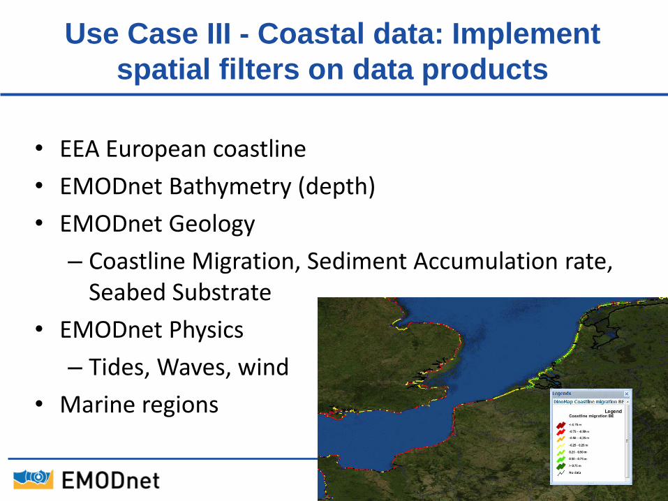
Use Case III - Coastal data: Implement
spatial filters on data products
• EEA European coastline
• EMODnet Bathymetry (depth)
• EMODnet Geology
– Coastline Migration, Sediment Accumulation rate, Seabed Substrate
• EMODnet Physics
– Tides, Waves, wind
• Marine regions
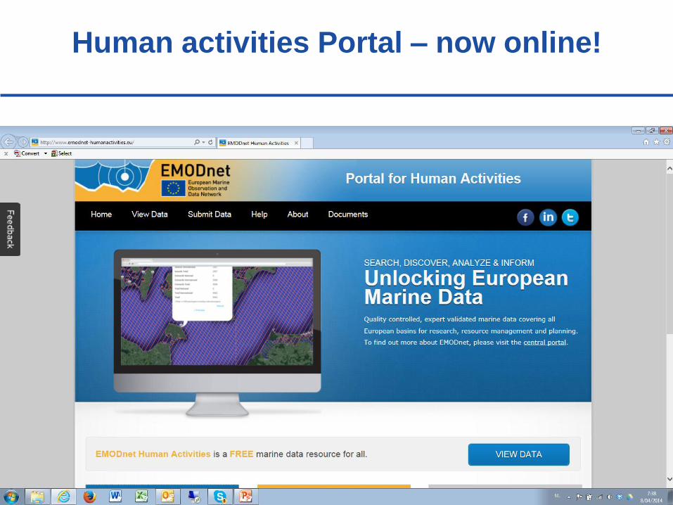
Human activities Portal – now online!
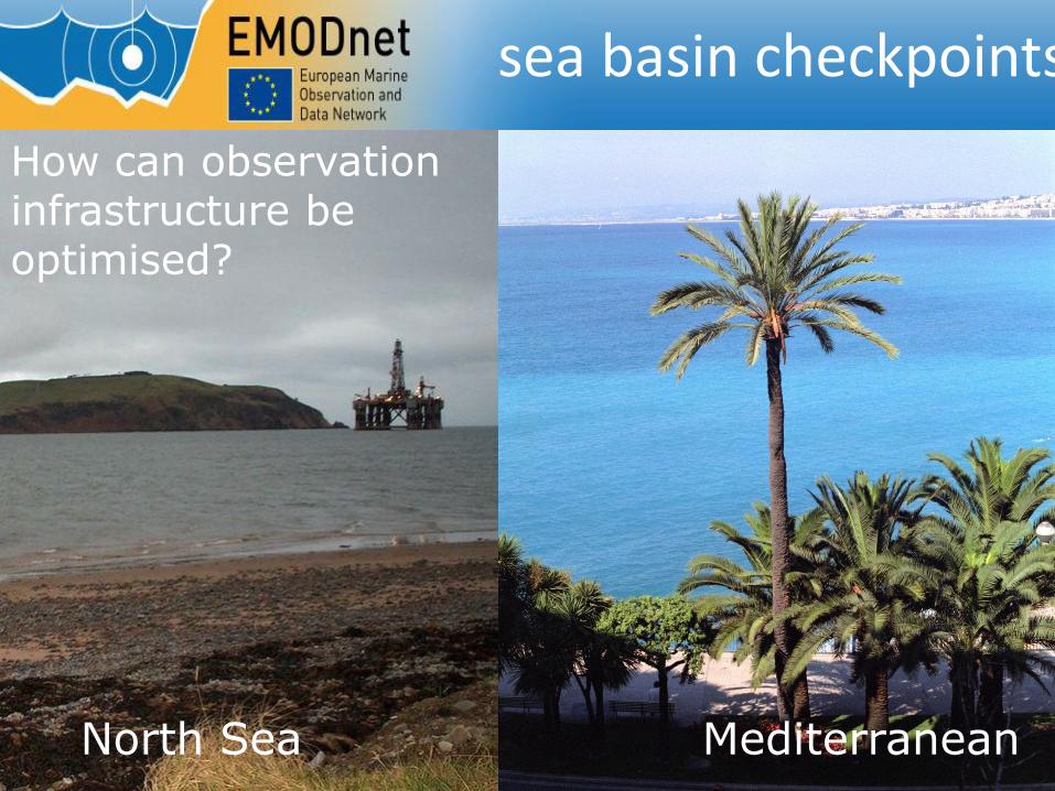
sea basin checkpoints
North Sea Mediterranean
How can observation infrastructure be optimised?
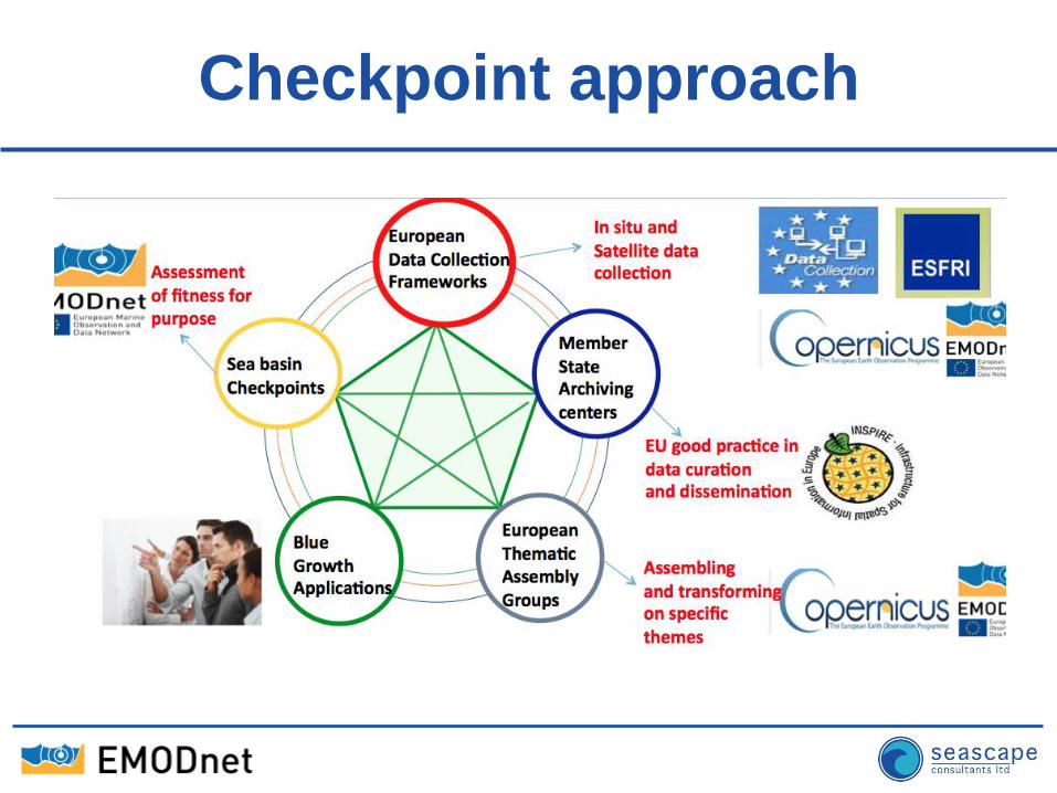
Checkpoint approach
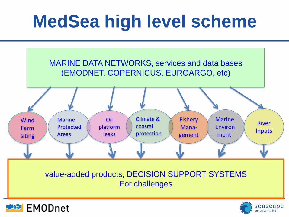
MedSea high level scheme
MARINE DATA NETWORKS, services and data bases
(EMODNET, COPERNICUS, EUROARGO, etc)
Fishery Mana-
gement
Marine Environ-ment
River Inputs
Wind Farm siting
Marine Protected Areas
Oil platform
leaks
Climate & coastal protection
value-added products, DECISION SUPPORT SYSTEMS
For challenges
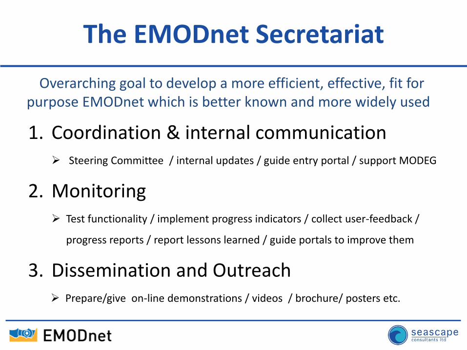
1. Coordination & internal communication Steering Committee / internal updates / guide entry portal / support MODEG
2. Monitoring Test functionality / implement progress indicators / collect user-feedback /
progress reports / report lessons learned / guide portals to improve them
3. Dissemination and Outreach Prepare/give on-line demonstrations / videos / brochure/ posters etc.
Overarching goal to develop a more efficient, effective, fit for purpose EMODnet which is better known and more widely used
The EMODnet Secretariat
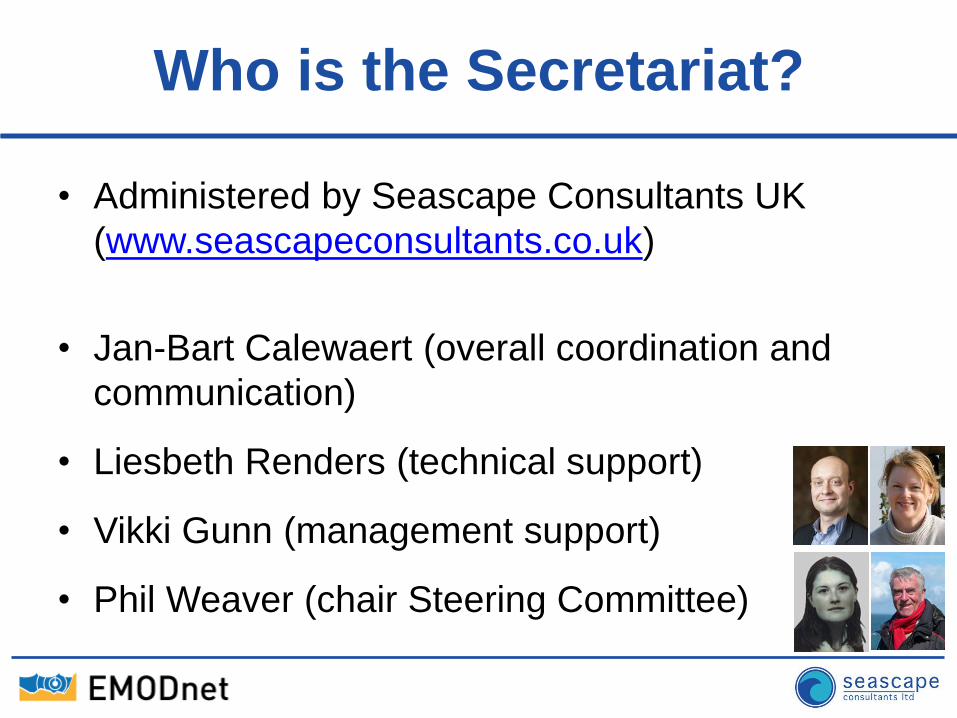
Who is the Secretariat?
• Administered by Seascape Consultants UK
(www.seascapeconsultants.co.uk)
• Jan-Bart Calewaert (overall coordination and
communication)
• Liesbeth Renders (technical support)
• Vikki Gunn (management support)
• Phil Weaver (chair Steering Committee)
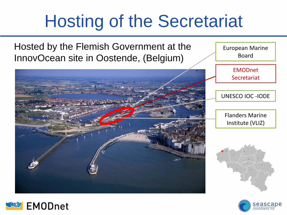
Hosting of the Secretariat
Hosted by the Flemish Government at the
InnovOcean site in Oostende, (Belgium)
UNESCO IOC -IODE
Flanders Marine Institute (VLIZ)
European Marine Board
EMODnet Secretariat
What’s next?
1. Endorsed basic principles
2. Confirmed that we are on the right
track
3. Identified new needs
240 replies
Outcome of Public Consultation to
gather ideas for third phase
1) Endorsed basic principles?
• need for open access to marine data, in both
raw and aggregated forms;
• few exceptions: – national security;
– damage to heritage sites and endangered ecosystems;
– commercial sensitivity;
– the need to allow scientists time to publish;
– safety and liability issues due to data misinterpretation.
2) Confirmed we are on the right track
• the architecture of the current EMODnet is
sound – geology, bathymetry, physics, chemistry, biology,
physical habitats and human activity
• EMODnet can assist with environmental or
fisheries reporting – replace "push" with "pull"
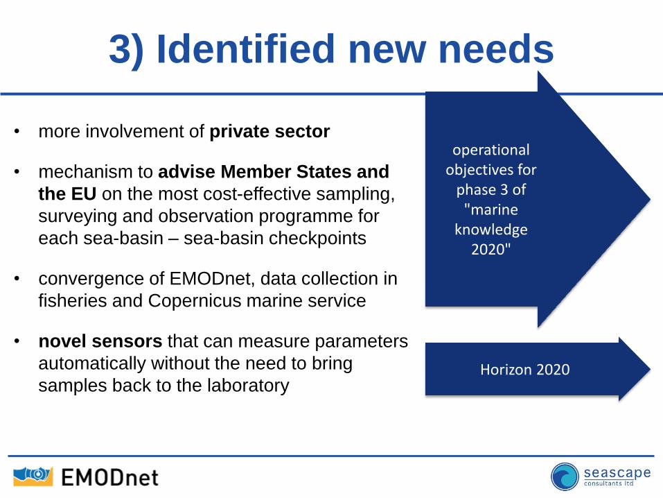
3) Identified new needs
• more involvement of private sector
• mechanism to advise Member States and
the EU on the most cost-effective sampling,
surveying and observation programme for
each sea-basin – sea-basin checkpoints
• convergence of EMODnet, data collection in
fisheries and Copernicus marine service
• novel sensors that can measure parameters
automatically without the need to bring
samples back to the laboratory
operational objectives for
phase 3 of "marine
knowledge 2020"
Horizon 2020
The way ahead
• Communication on Innovation in the Blue
Economy and Roadmap/Action Plan
– more involvement of private sector
– mechanism to advise Member States and the EU on
the most cost-effective sampling, surveying and
observation programme for each sea-basin
– convergence of EMODnet, data collection in fisheries
and Copernicus marine service
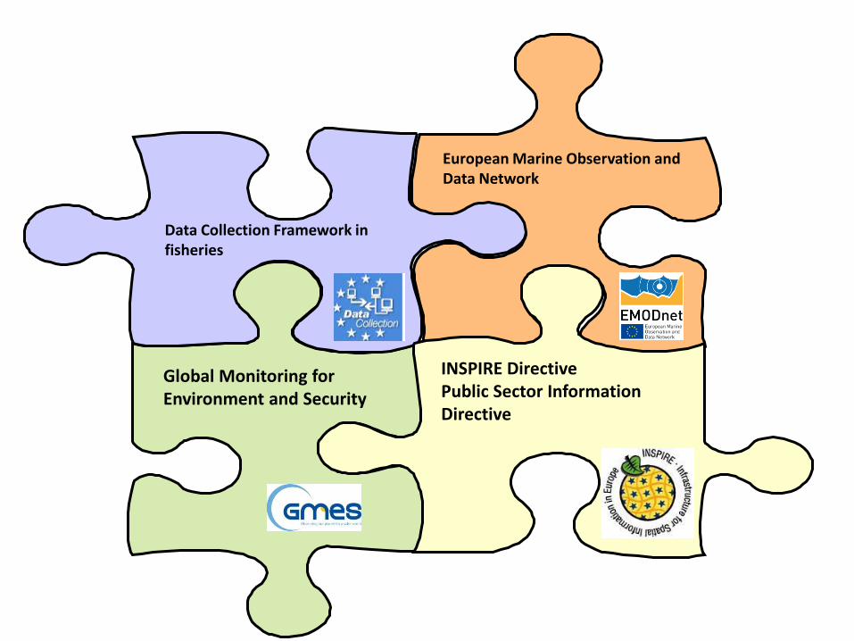
European Marine Observation and Data Network
Global Monitoring for Environment and Security
Data Collection Framework in fisheries
INSPIRE Directive Public Sector Information Directive
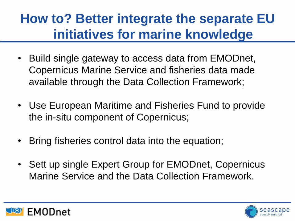
How to? Better integrate the separate EU
initiatives for marine knowledge
• Build single gateway to access data from EMODnet,
Copernicus Marine Service and fisheries data made
available through the Data Collection Framework;
• Use European Maritime and Fisheries Fund to provide
the in-situ component of Copernicus;
• Bring fisheries control data into the equation;
• Sett up single Expert Group for EMODnet, Copernicus
Marine Service and the Data Collection Framework.
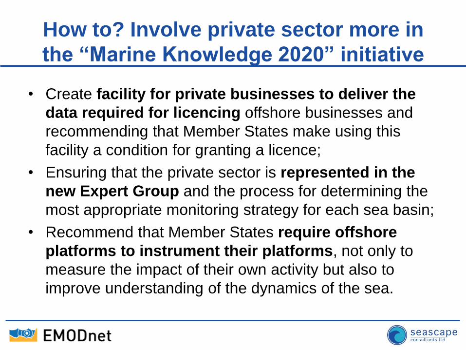
How to? Involve private sector more in
the “Marine Knowledge 2020” initiative
• Create facility for private businesses to deliver the
data required for licencing offshore businesses and
recommending that Member States make using this
facility a condition for granting a licence;
• Ensuring that the private sector is represented in the
new Expert Group and the process for determining the
most appropriate monitoring strategy for each sea basin;
• Recommend that Member States require offshore
platforms to instrument their platforms, not only to
measure the impact of their own activity but also to
improve understanding of the dynamics of the sea.
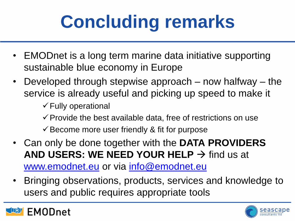
Concluding remarks
• EMODnet is a long term marine data initiative supporting
sustainable blue economy in Europe
• Developed through stepwise approach – now halfway – the
service is already useful and picking up speed to make it
Fully operational
Provide the best available data, free of restrictions on use
Become more user friendly & fit for purpose
• Can only be done together with the DATA PROVIDERS
AND USERS: WE NEED YOUR HELP find us at
www.emodnet.eu or via [email protected]
• Bringing observations, products, services and knowledge to
users and public requires appropriate tools
Thank you
for your attention
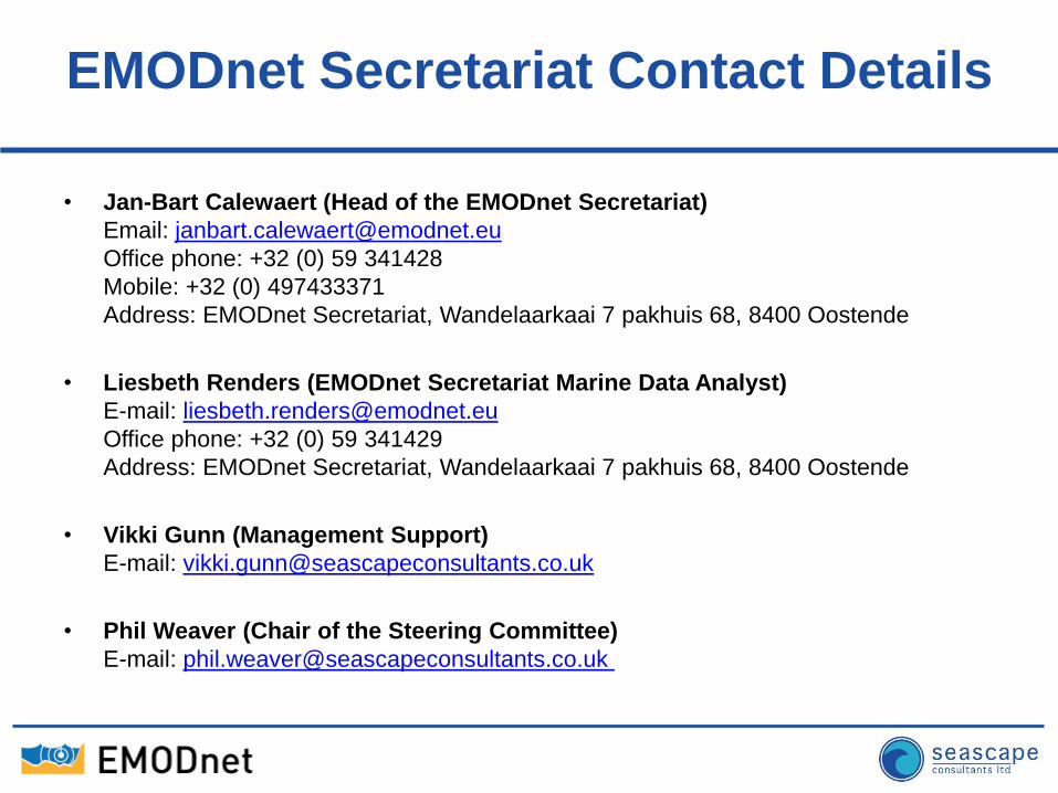
EMODnet Secretariat Contact Details
• Jan-Bart Calewaert (Head of the EMODnet Secretariat)
Email: [email protected]
Office phone: +32 (0) 59 341428
Mobile: +32 (0) 497433371
Address: EMODnet Secretariat, Wandelaarkaai 7 pakhuis 68, 8400 Oostende
• Liesbeth Renders (EMODnet Secretariat Marine Data Analyst)
E-mail: [email protected]
Office phone: +32 (0) 59 341429
Address: EMODnet Secretariat, Wandelaarkaai 7 pakhuis 68, 8400 Oostende
• Vikki Gunn (Management Support)
E-mail: [email protected]
• Phil Weaver (Chair of the Steering Committee)
E-mail: [email protected]