Embed Size (px)
Citation preview
The backgroundComputer Science, developer of open-source software for map publishing: MapTiler / GDAL2Tiles, OpenLayers, IIPImage JPEG2000, WebGL Earth, ...
The federated map search portal since 2007
CEO of a small Swiss company: innovative mapping applications for culture heritage.
Contracted development, grants.
Clients: British Library, David Rumsey, NLS, ...
Project targets
The gateway to scanned maps in libraries around the world
Intuitive search by location
Indexing maps from several institutions
One click to view the map in high resolution
Free to access and open for contributions
Audience: general public, genealogists, historians, researchers
LIVE DEMOwww.oldmapsonline.org
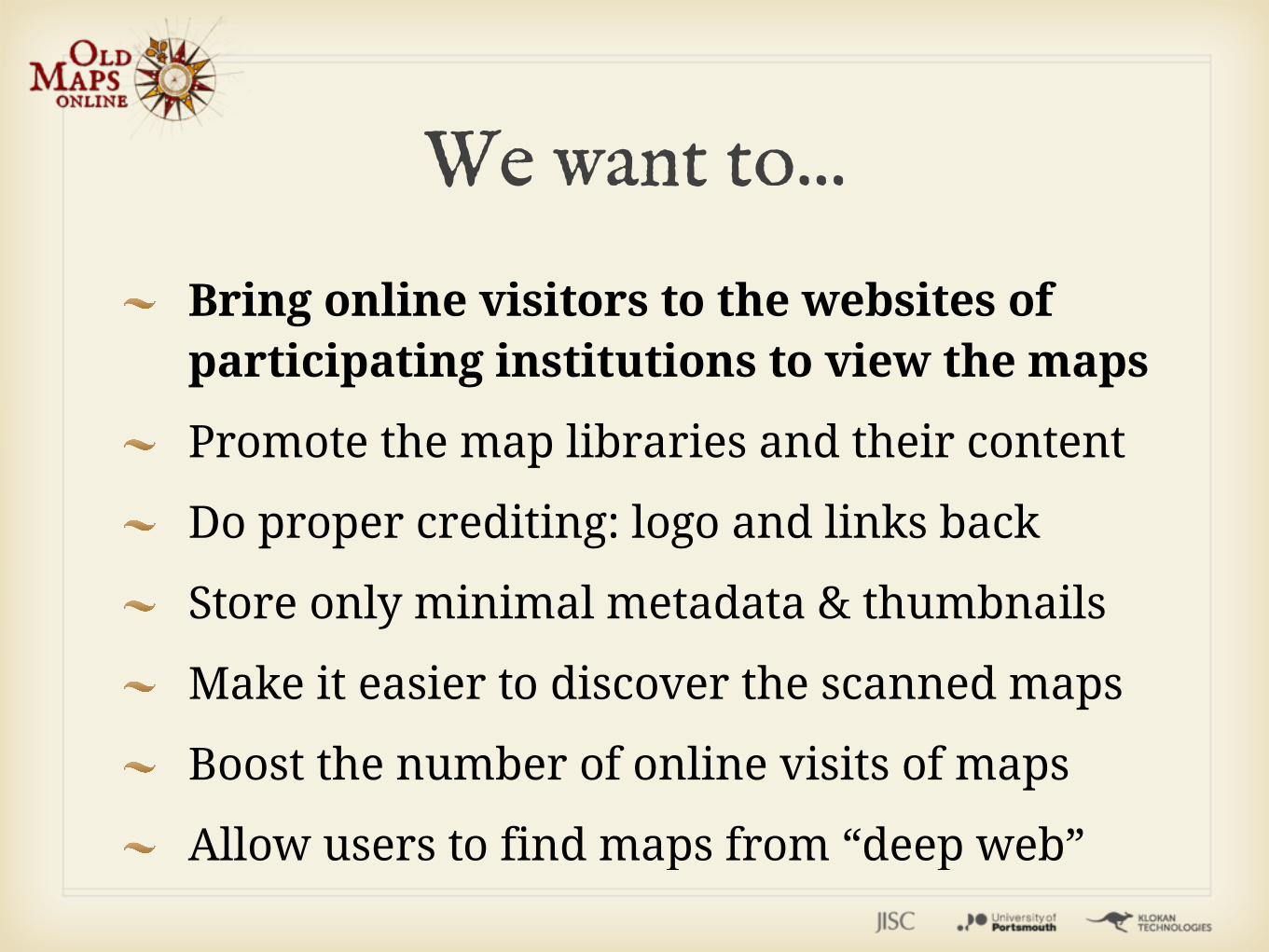
We want to...
Bring online visitors to the websites of participating institutions to view the maps
Promote the map libraries and their content
Do proper crediting: logo and links back
Store only minimal metadata & thumbnails
Make it easier to discover the scanned maps
Boost the number of online visits of maps
Allow users to find maps from “deep web”
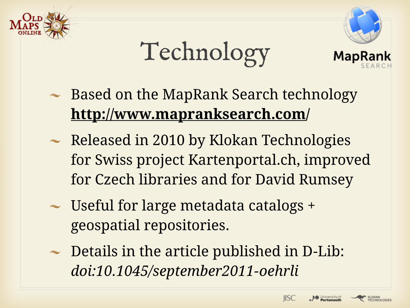
Technology
Based on the MapRank Search technology http://www.mapranksearch.com/
Released in 2010 by Klokan Technologies for Swiss project Kartenportal.ch, improved for Czech libraries and for David Rumsey
Useful for large metadata catalogs + geospatial repositories.
Details in the article published in D-Lib: doi:10.1045/september2011-oehrli
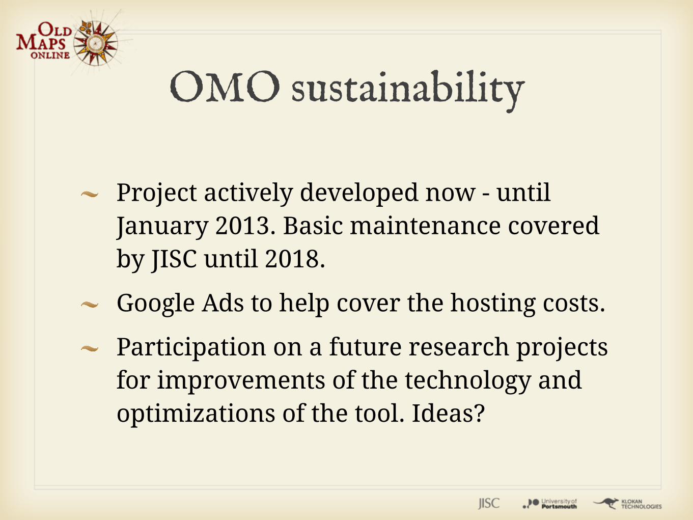
OMO sustainability
Project actively developed now - until January 2013. Basic maintenance covered by JISC until 2018.
Google Ads to help cover the hosting costs.
Participation on a future research projects for improvements of the technology and optimizations of the tool. Ideas?
How can you help?
Use the system & send us ideas for improvement and report bugs
Share: blog, twitter, facebook, google+
We are calling for institutions who would like to include their maps. It is for free. Institutions retain all the rights.
Submission of maps from individuals at later point (technically more problematic)
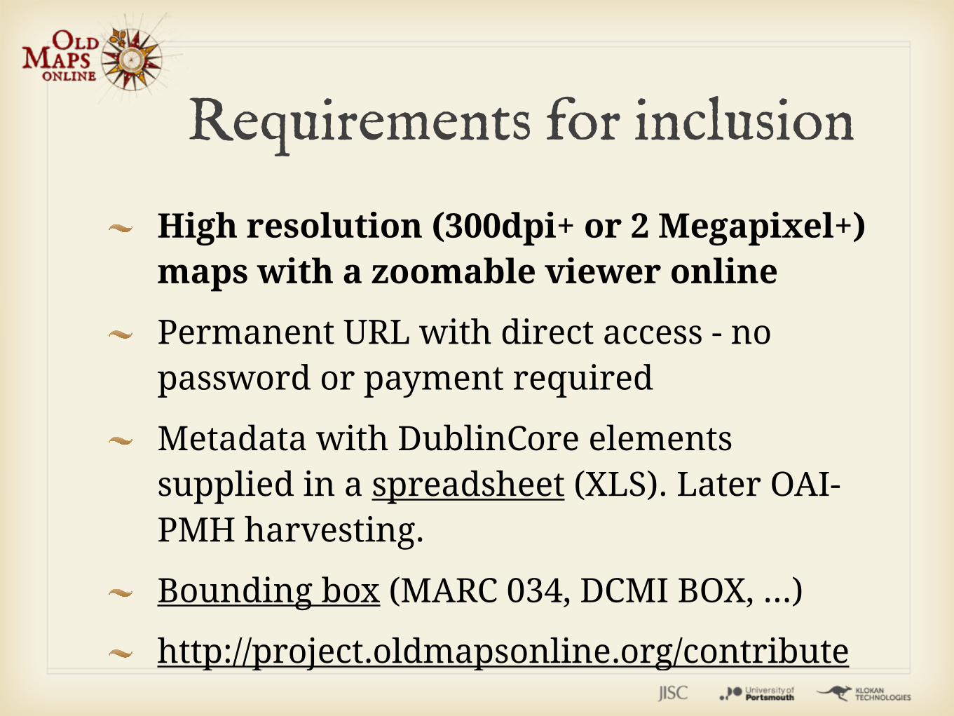
Requirements for inclusion
High resolution (300dpi+ or 2 Megapixel+) maps with a zoomable viewer online
Permanent URL with direct access - no password or payment required
Metadata with DublinCore elements supplied in a spreadsheet (XLS). Later OAI-PMH harvesting.
Bounding box (MARC 034, DCMI BOX, ...)
http://project.oldmapsonline.org/contribute
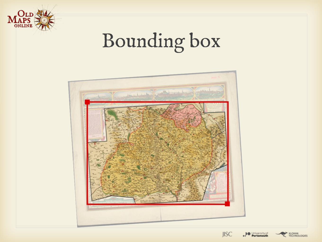
Bounding box
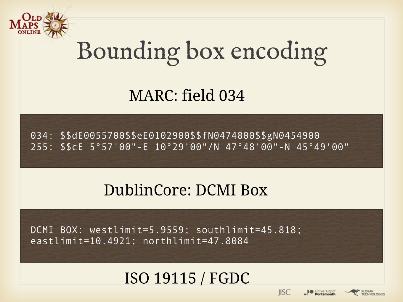
034: $$dE0055700$$eE0102900$$fN0474800$$gN0454900255: $$cE 5°57'00"-E 10°29'00"/N 47°48'00"-N 45°49'00"
MARC: field 034
DCMI BOX: westlimit=5.9559; southlimit=45.818; eastlimit=10.4921; northlimit=47.8084
DublinCore: DCMI Box
ISO 19115 / FGDC
Bounding box encoding
BoundingBox Tool: Cataloguing of physical maps - manual selection of area on top of an online base map (used by MZK.cz, Swiss libraries, David Rumsey, ...)
Geoparser: Semi-automatic process - with suggestion of the area by analyzing existing textual metadata. Contact us.
http://boundingbox.klokantech.com/
Bounding Box / Geoparser
LIVE DEMOboundingbox.klokantech.com
It allows to turn the existing online scans into geodata in a web browser
Support true collaborative editing
It retains log of all operations (a la Wikipedia) - you can adjust it with a few clicks
Georeferencer

britishlibrary.georeferencer.com
www.georeferencer.com
http://player.vimeo.com/video/36419466
3D visualization (Google Earth)
Accuracy analysis (MapAnalyst)
Bounding Box (metadata enrichment)
Institution can internally generate geodata (GeoTIFF)
Optional: WMS and WMTS for scanned maps in libraries. One per revision.
Georeferencer
No need to install anything in the institution or even submit the high resolution images!
Cloud application - it runs as a service.
The scans are hosted only in the original institution digital repository or websites (Zoomify, MrSID, Djatoka, IIPImage JPEG2000, Luna, ContentDM, Omeka, ExLibris, etc.)
Georeferencer

Easy integration with the institution website with a simple API and “intelligent links”. Widgets & live data outputs available.
Georeferencer
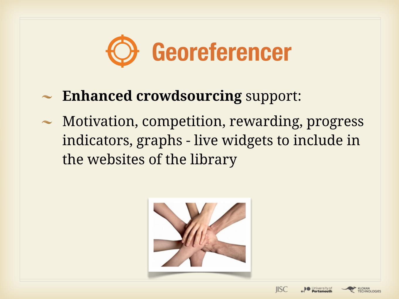
Enhanced crowdsourcing support:
Motivation, competition, rewarding, progress indicators, graphs - live widgets to include in the websites of the library
Georeferencer
The British Library Pilot: 720+ maps done in less then a week by online visitors!
Dutch Nationaal Archief: closed group of 13 volunteers, 650 difficult maps in a month
National Library of Scotland, first open pilot
MZK Czech Republic: students
Georeferencer
LIVE DEMOmaps.bl.uk
crowdsourcing widgets
Development started and continues in collaboration with R&D department of Moravian Library in Brno, Czech Republic.
Target: open platform for personal online research.
Under development: Semantic annotations (LinkedData), URI (Identifiers) with detection of duplicates and automatic georeferencing, map series, etc.
Georeferencer
Old Maps Online
www.oldmapsonline.org
... thank you ...


![Processing old maps and drawings to create virtual ... · e-Perimetron , Vol. 5, No. 2, 2010 [49-57] | ISSN 1790-3769 [49] Arnoud de Boer∗ Processing old maps and drawings to create](https://img.pdfslide.us/doc/110x75/606355789091dd26a33d8d60/processing-old-maps-and-drawings-to-create-virtual-e-perimetron-vol-5-no.jpg)