Embed Size (px)
Citation preview
Working with the iOS Core Location Framework
and Google Maps SDKLecture 10
Jonathan R. Engelsma
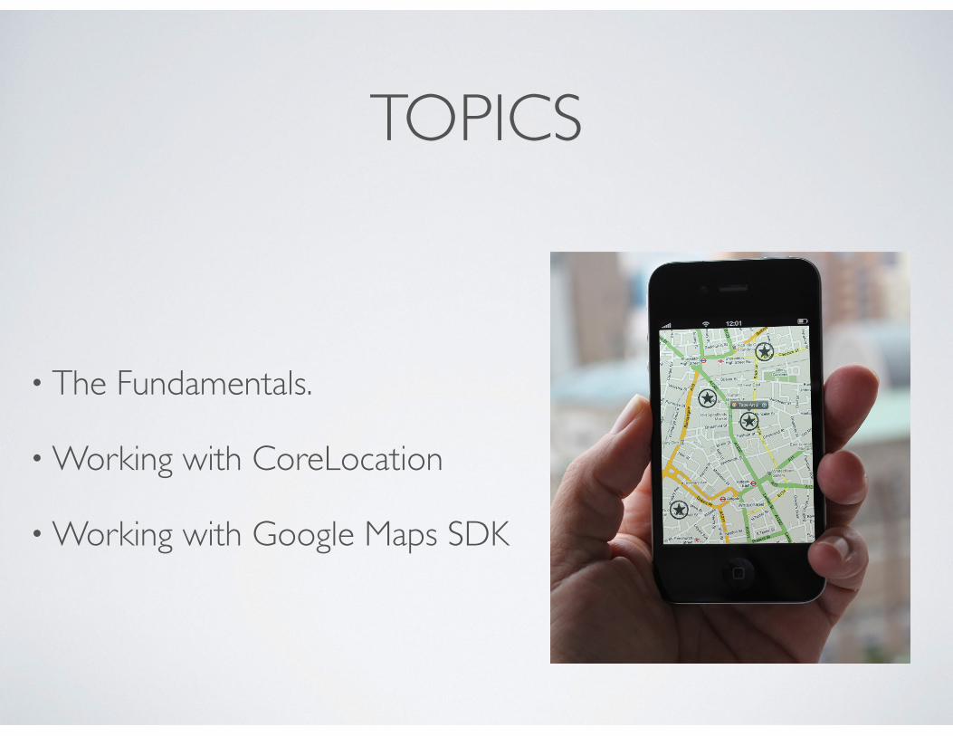
TOPICS
• The Fundamentals.
• Working with CoreLocation
• Working with Google Maps SDK
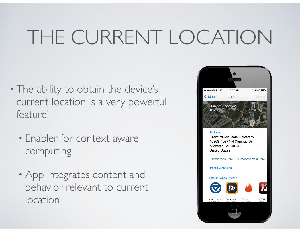
THE CURRENT LOCATION
• The ability to obtain the device’s current location is a very powerful feature!
• Enabler for context aware computing
• App integrates content and behavior relevant to current location
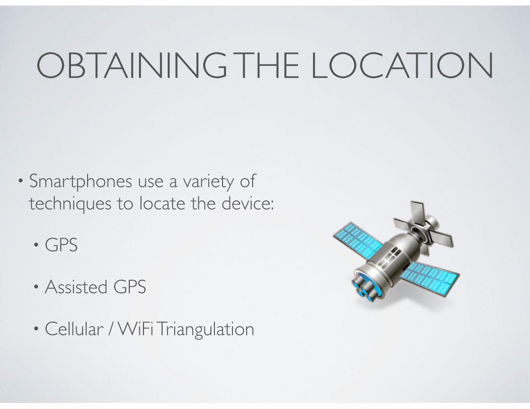
OBTAINING THE LOCATION
• Smartphones use a variety of techniques to locate the device:
• GPS
• Assisted GPS
• Cellular / WiFi Triangulation
GLOBAL POSITIONING SYSTEM
• Space-based satellite system (US Government)
• Requires line of sight to 4+ satellites
• Accuracy: ~ 3 - 15 meters.
• Can take time to get first fix.
• Don’t work well indoors.
ASSISTED GPS
• Greatly reduces the TTFF (time to first fix).
• Uses terrestrial radio network to accelerate connection to satellite.
• Widely used by modern cell phones.
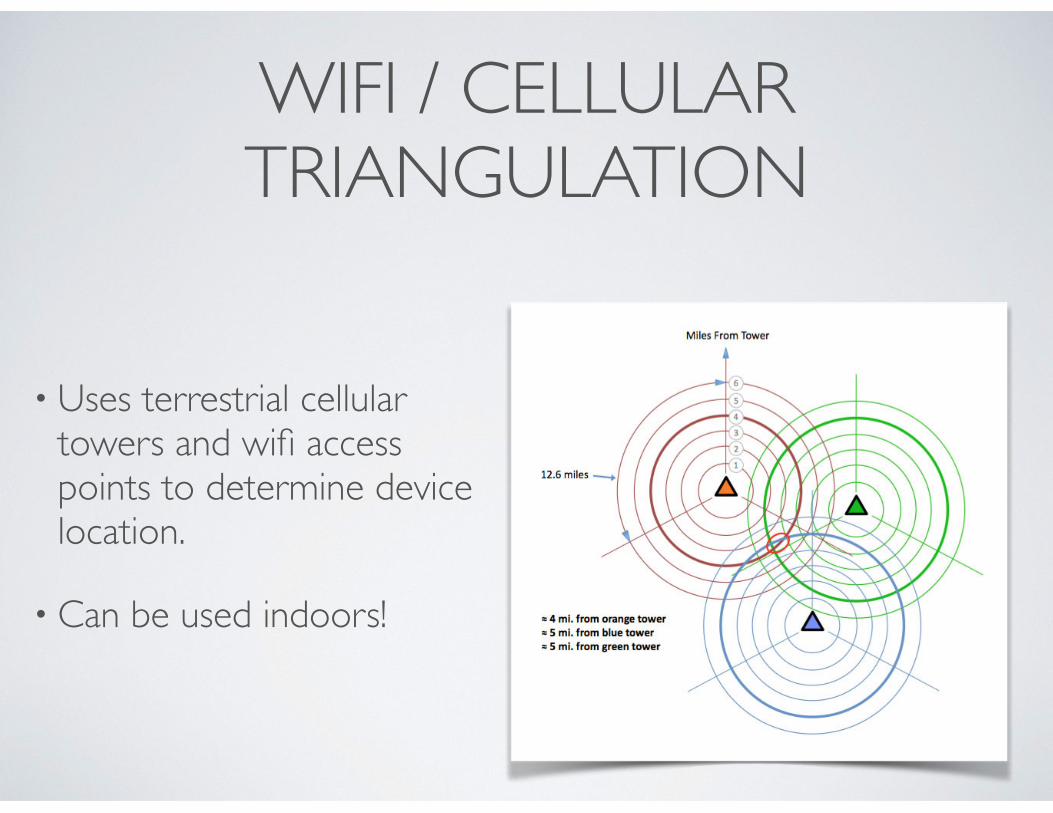
WIFI / CELLULAR TRIANGULATION
• Uses terrestrial cellular towers and wifi access points to determine device location.
• Can be used indoors!
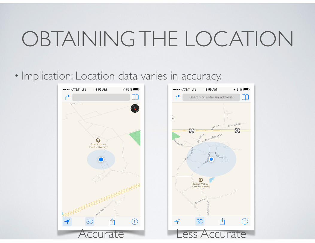
OBTAINING THE LOCATION• Implication: Location data varies in accuracy.
Accurate Less Accurate
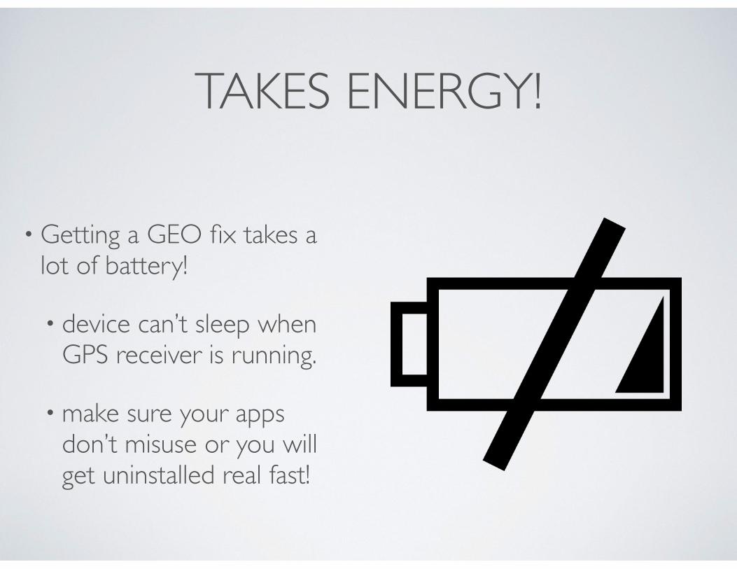
TAKES ENERGY!
• Getting a GEO fix takes a lot of battery!
• device can’t sleep when GPS receiver is running.
• make sure your apps don’t misuse or you will get uninstalled real fast!
CORE LOCATION
• CoreLocation Framework
• Provides apps with location coordinate and heading info.
• Can define geographical regions and monitor when user crosses region boundaries.
• Also supports “beacon” regions with iBeacon devices.
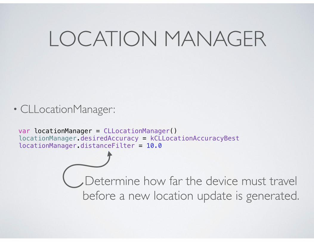
LOCATION MANAGER
• CLLocationManager:
var locationManager = CLLocationManager() locationManager.desiredAccuracy = kCLLocationAccuracyBest locationManager.distanceFilter = 10.0
Determine how far the device must travelbefore a new location update is generated.
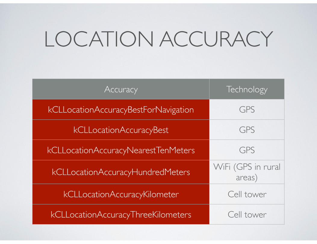
LOCATION ACCURACY
Accuracy Technology
kCLLocationAccuracyBestForNavigation GPS
kCLLocationAccuracyBest GPS
kCLLocationAccuracyNearestTenMeters GPS
kCLLocationAccuracyHundredMeters WiFi (GPS in rural areas)
kCLLocationAccuracyKilometer Cell tower
kCLLocationAccuracyThreeKilometers Cell tower
LOCATION MANAGER
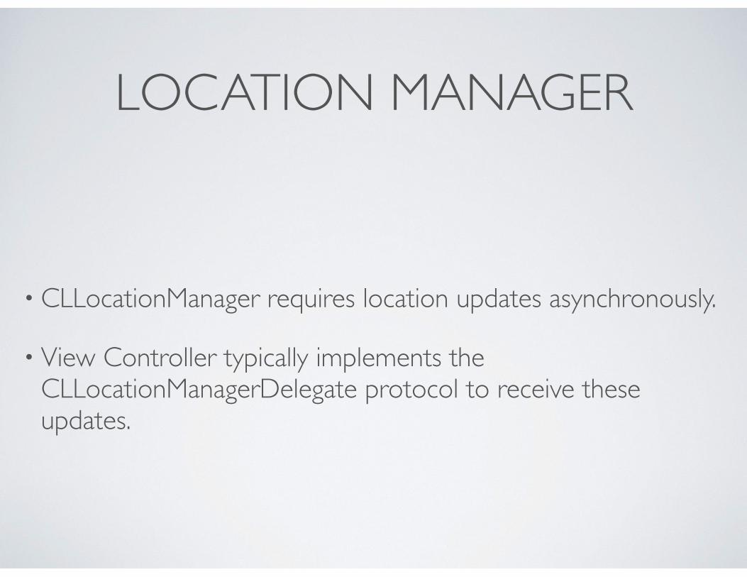
• CLLocationManager requires location updates asynchronously.
• View Controller typically implements the CLLocationManagerDelegate protocol to receive these updates.
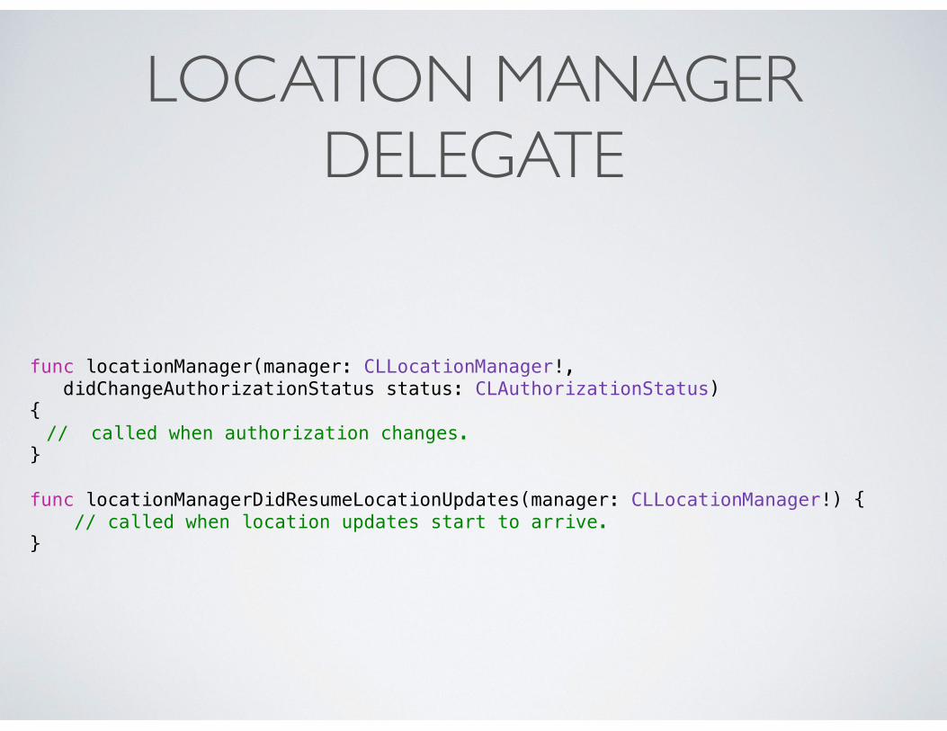
LOCATION MANAGER DELEGATE
func locationManager(manager: CLLocationManager!, didChangeAuthorizationStatus status: CLAuthorizationStatus) { // called when authorization changes.
}
func locationManagerDidResumeLocationUpdates(manager: CLLocationManager!) { // called when location updates start to arrive. }
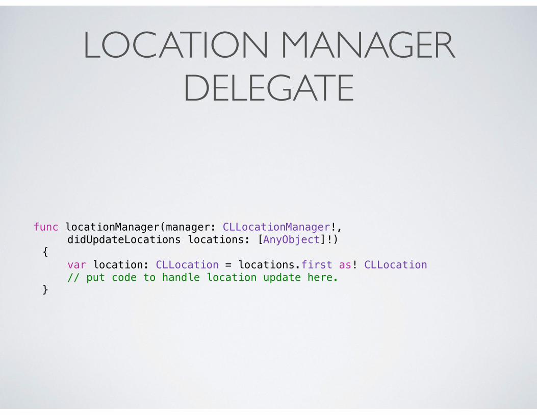
LOCATION MANAGER DELEGATE
func locationManager(manager: CLLocationManager!, didUpdateLocations locations: [AnyObject]!) { var location: CLLocation = locations.first as! CLLocation // put code to handle location update here. }
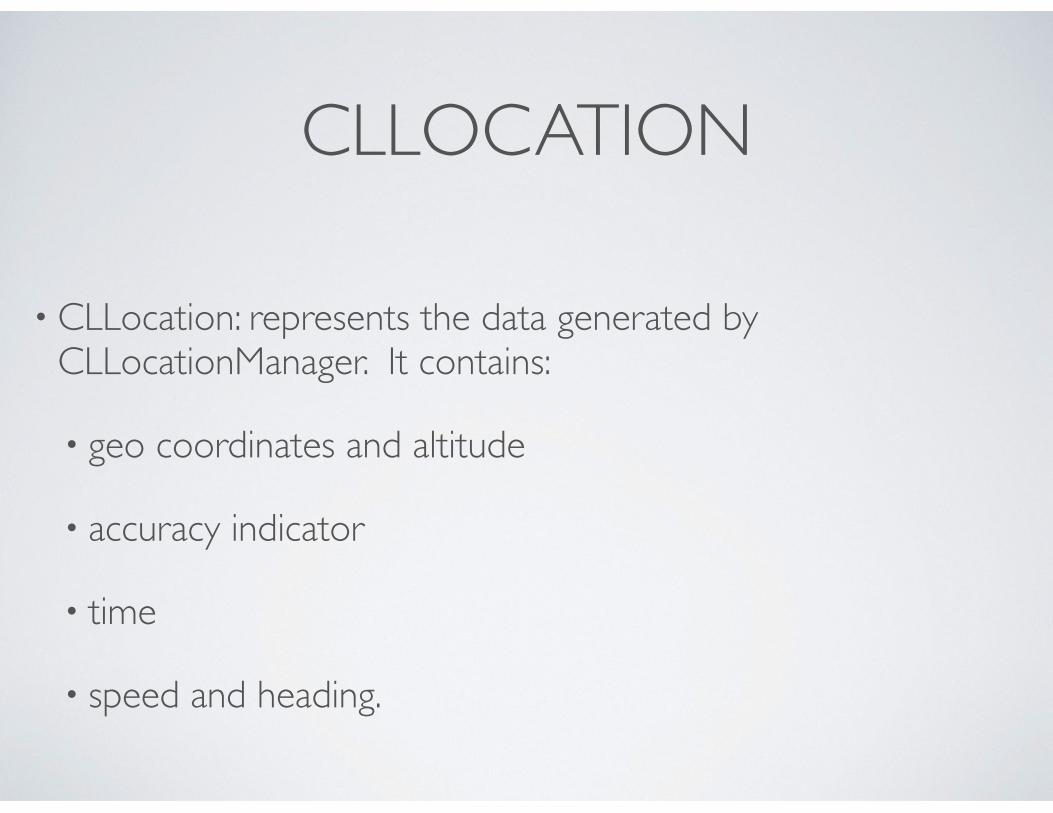
CLLOCATION
• CLLocation: represents the data generated by CLLocationManager. It contains:
• geo coordinates and altitude
• accuracy indicator
• time
• speed and heading.
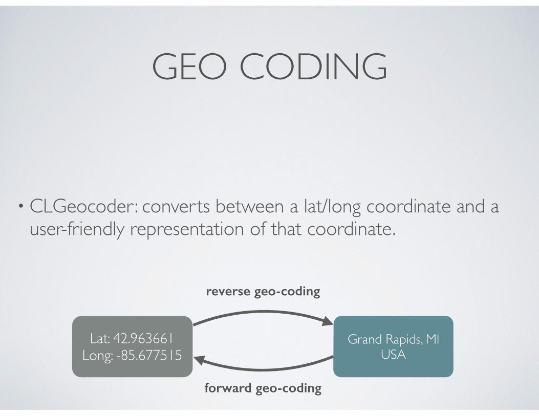
GEO CODING
• CLGeocoder: converts between a lat/long coordinate and a user-friendly representation of that coordinate.
Lat: 42.963661Long: -85.677515
Grand Rapids, MIUSA
reverse geo-coding
forward geo-coding
GEO-CODING GUIDELINES
• Geocoder requests involve the network and are rate limited:
• send one request per user action.
• cache the results if you do more than one action per loc.
• issue a new geocoding request only if user has moved a significant distance.
• don’t use it in the background!
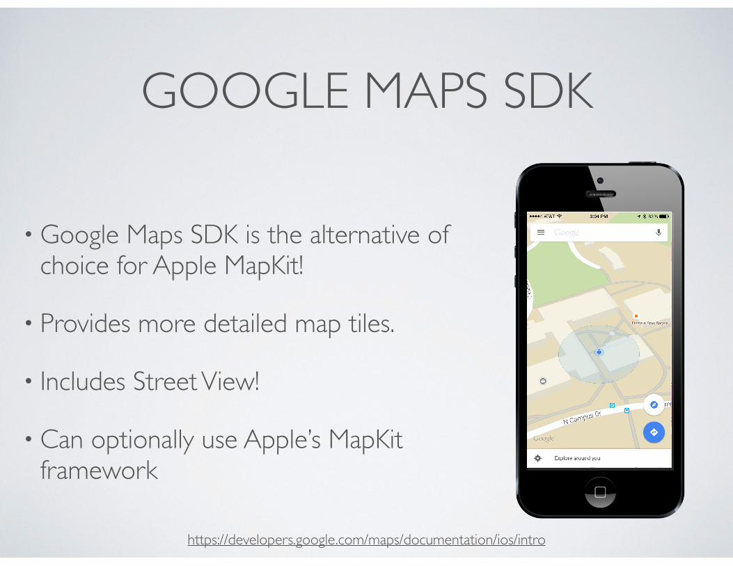
GOOGLE MAPS SDK
• Google Maps SDK is the alternative of choice for Apple MapKit!
• Provides more detailed map tiles.
• Includes Street View!
• Can optionally use Apple’s MapKit framework
https://developers.google.com/maps/documentation/ios/intro
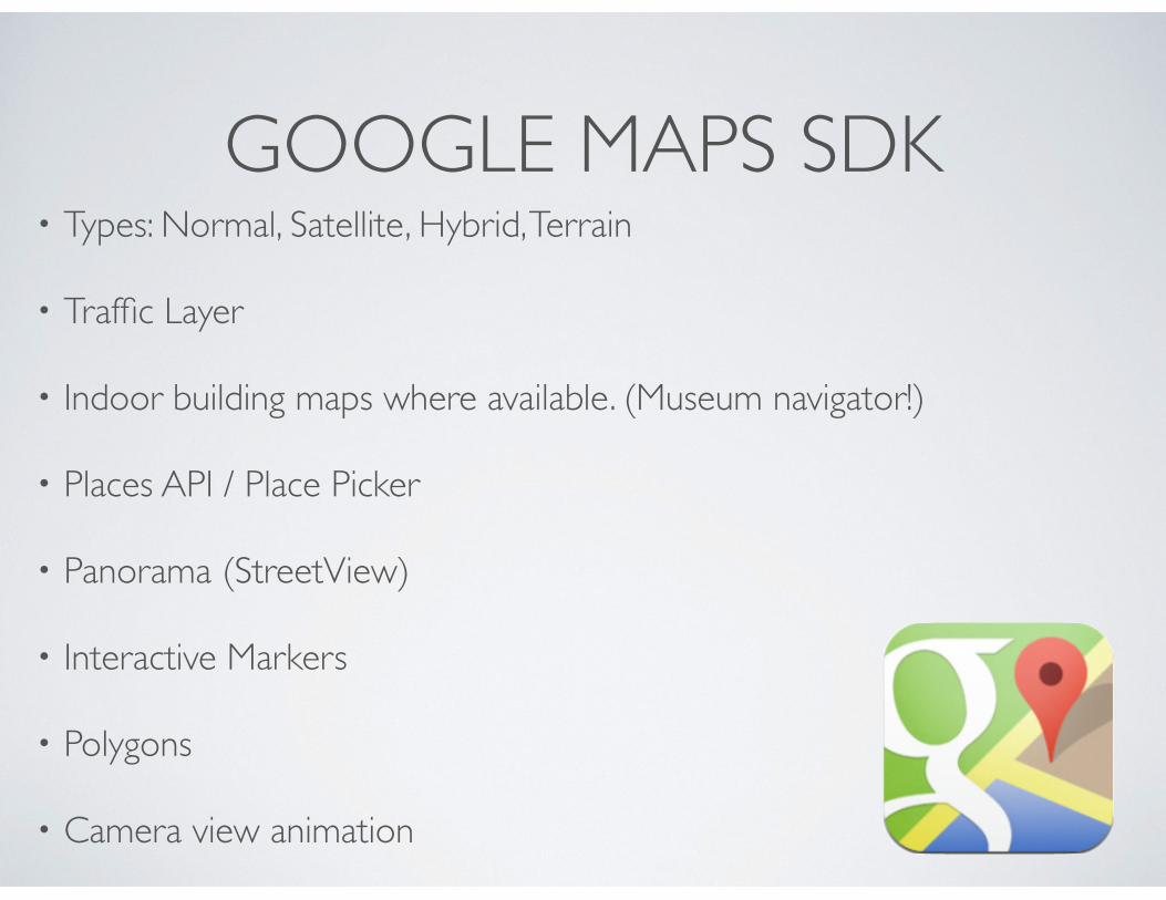
GOOGLE MAPS SDK• Types: Normal, Satellite, Hybrid, Terrain
• Traffic Layer
• Indoor building maps where available. (Museum navigator!)
• Places API / Place Picker
• Panorama (StreetView)
• Interactive Markers
• Polygons
• Camera view animation
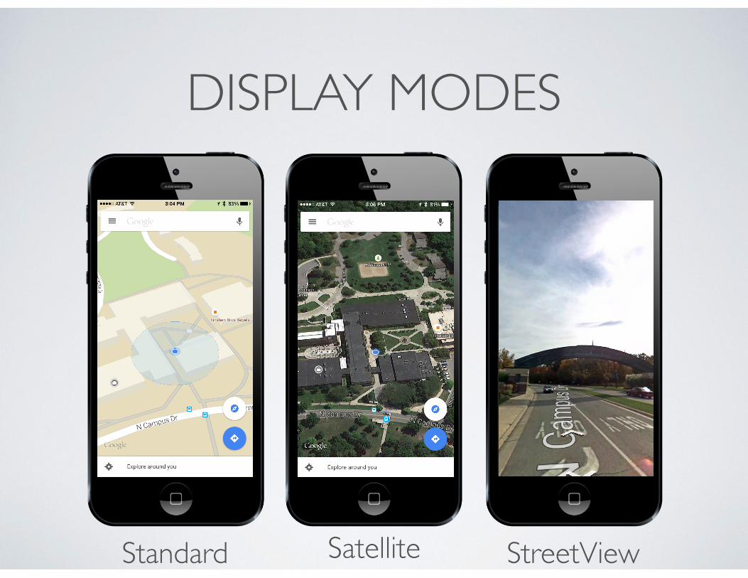
DISPLAY MODES
Standard Satellite StreetView
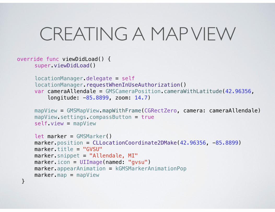
CREATING A MAP VIEW override func viewDidLoad() { super.viewDidLoad()
locationManager.delegate = self locationManager.requestWhenInUseAuthorization() var cameraAllendale = GMSCameraPosition.cameraWithLatitude(42.96356,
longitude: -85.8899, zoom: 14.7) mapView = GMSMapView.mapWithFrame(CGRectZero, camera: cameraAllendale) mapView.settings.compassButton = true self.view = mapView let marker = GMSMarker() marker.position = CLLocationCoordinate2DMake(42.96356, -85.8899) marker.title = "GVSU" marker.snippet = "Allendale, MI" marker.icon = UIImage(named: "gvsu") marker.appearAnimation = kGMSMarkerAnimationPop marker.map = mapView }
READING ASSIGNMENT
• Chapter 21 in Programming iOS8 by Neuburg
• Google Map SDK Documentation / Example Code
• https://developers.google.com/maps/documentation/ios/