Warm Up
• Name some reasons as to why the U.S is a resource rich nation.
• What are some types of water travel that was important to the growth of the United States?
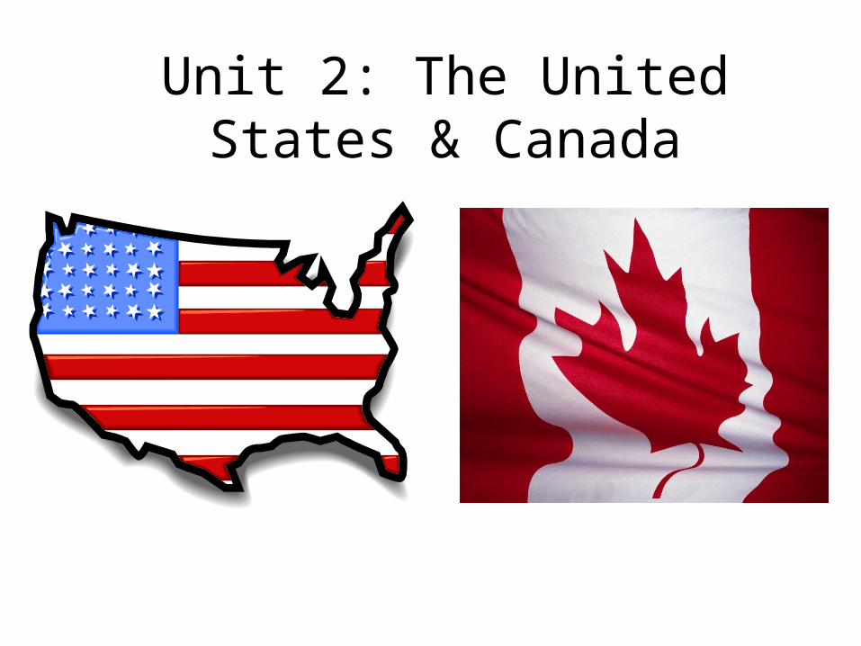
Unit 2: The United States & Canada
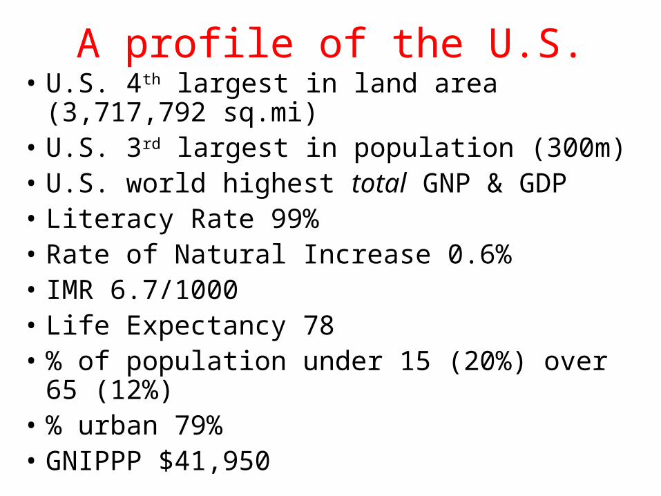
A profile of the U.S.• U.S. 4th largest in land area (3,717,792 sq.mi)• U.S. 3rd largest in population (300m)• U.S. world highest total GNP & GDP• Literacy Rate 99%• Rate of Natural Increase 0.6%• IMR 6.7/1000• Life Expectancy 78• % of population under 15 (20%) over 65 (12%)• % urban 79%• GNIPPP $41,950
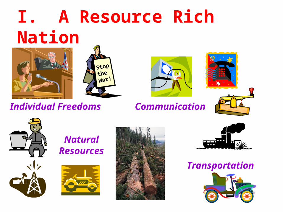
Natural Resources
Transportation
CommunicationIndividual Freedoms
Stop
the
War!
I. A Resource Rich Nation
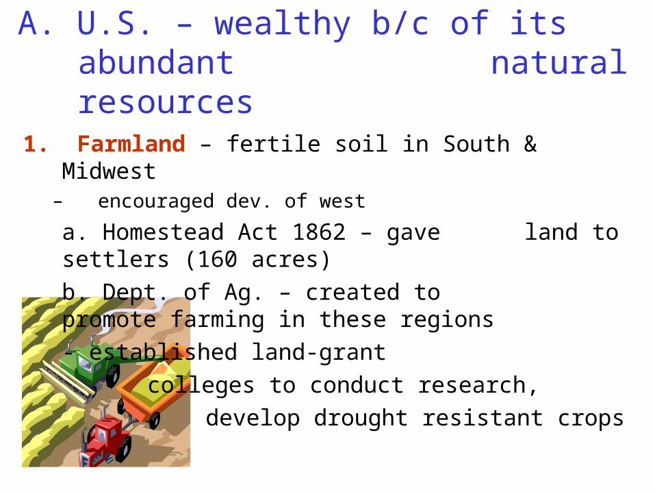
A. U.S. – wealthy b/c of its abundant natural resources
1. Farmland – fertile soil in South & Midwest– encouraged dev. of west
a. Homestead Act 1862 – gave land to settlers (160 acres)
b. Dept. of Ag. – created to promote farming in these regions
- established land-grant
colleges to conduct research,
develop drought resistant crops
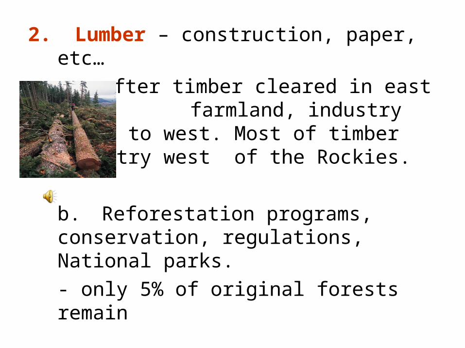
2. Lumber – construction, paper, etc…
a. after timber cleared in east for farmland, industry moved to
west. Most of timber industry west of the Rockies.
b. Reforestation programs, conservation, regulations, National parks.
- only 5% of original forests remain
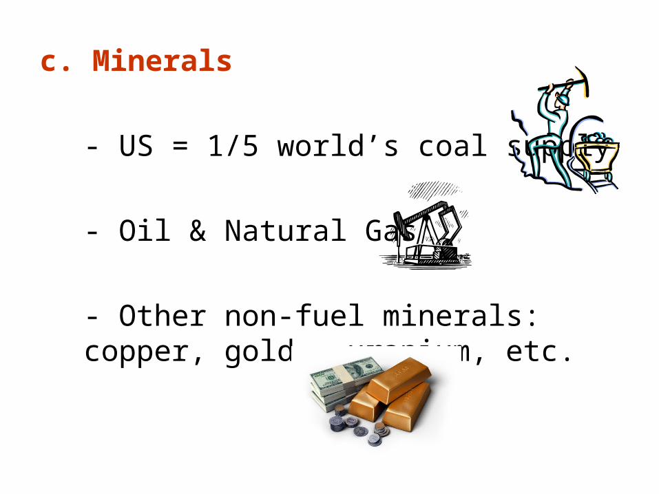
c. Minerals
- US = 1/5 world’s coal supply
- Oil & Natural Gas
- Other non-fuel minerals: copper, gold, uranium, etc.
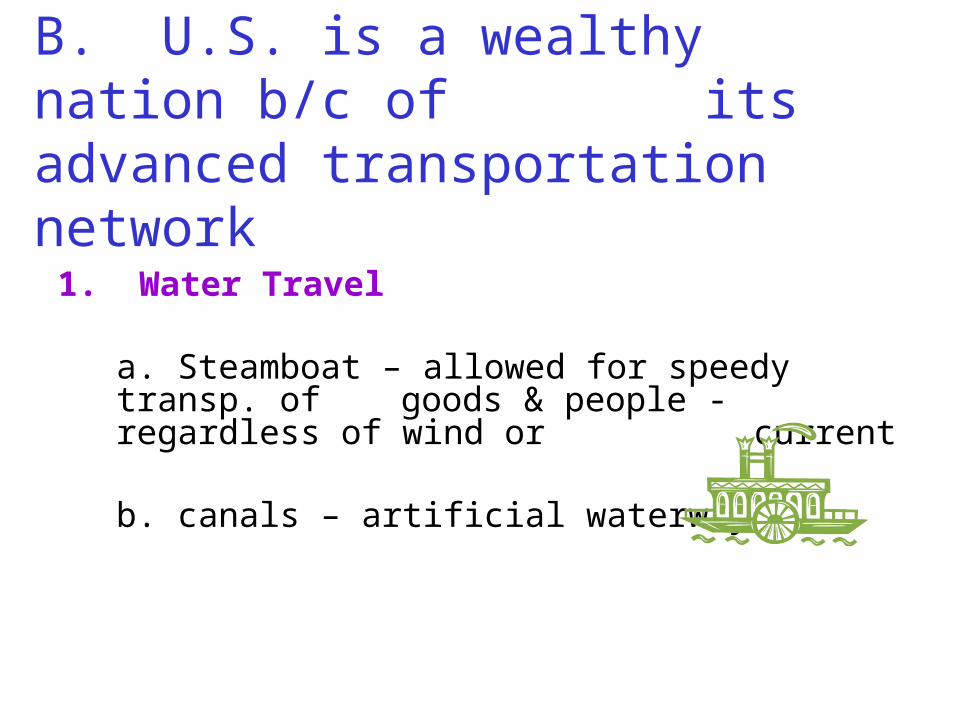
B. U.S. is a wealthy nation b/c of its advanced transportation
network
1. Water Travel
a. Steamboat – allowed for speedy transp. of goods & people - regardless of wind or current
b. canals – artificial waterways
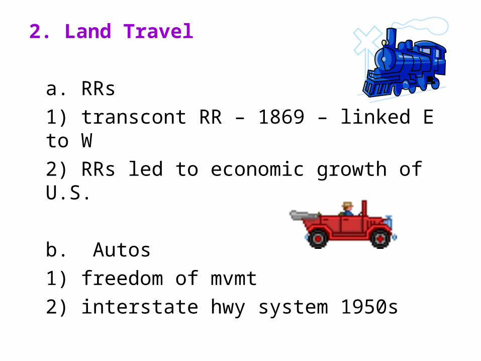
2. Land Travel
a. RRs
1) transcont RR – 1869 – linked E to W
2) RRs led to economic growth of U.S.
b. Autos
1) freedom of mvmt
2) interstate hwy system 1950s
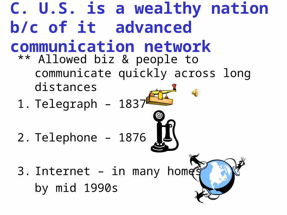
C. U.S. is a wealthy nation b/c of it advanced communication network
** Allowed biz & people to communicate quickly across long distances
1. Telegraph – 1837
2. Telephone – 1876
3. Internet – in many homes
by mid 1990s
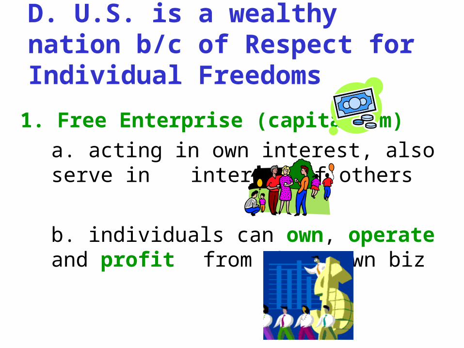
D. U.S. is a wealthy nation b/c of Respect for Individual Freedoms
1. Free Enterprise (capitalism)
a. acting in own interest, also serve in interest of others
b. individuals can own, operate and profit from their own biz
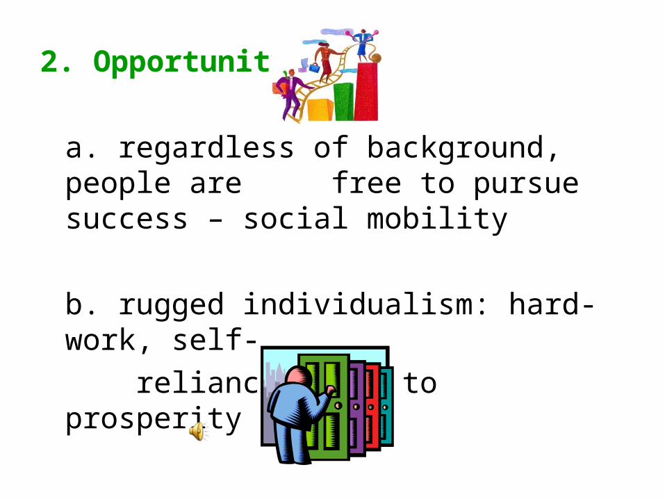
2. Opportunity
a. regardless of background, people are free to pursue success – social
mobility
b. rugged individualism: hard-work, self-
reliance leads to prosperity
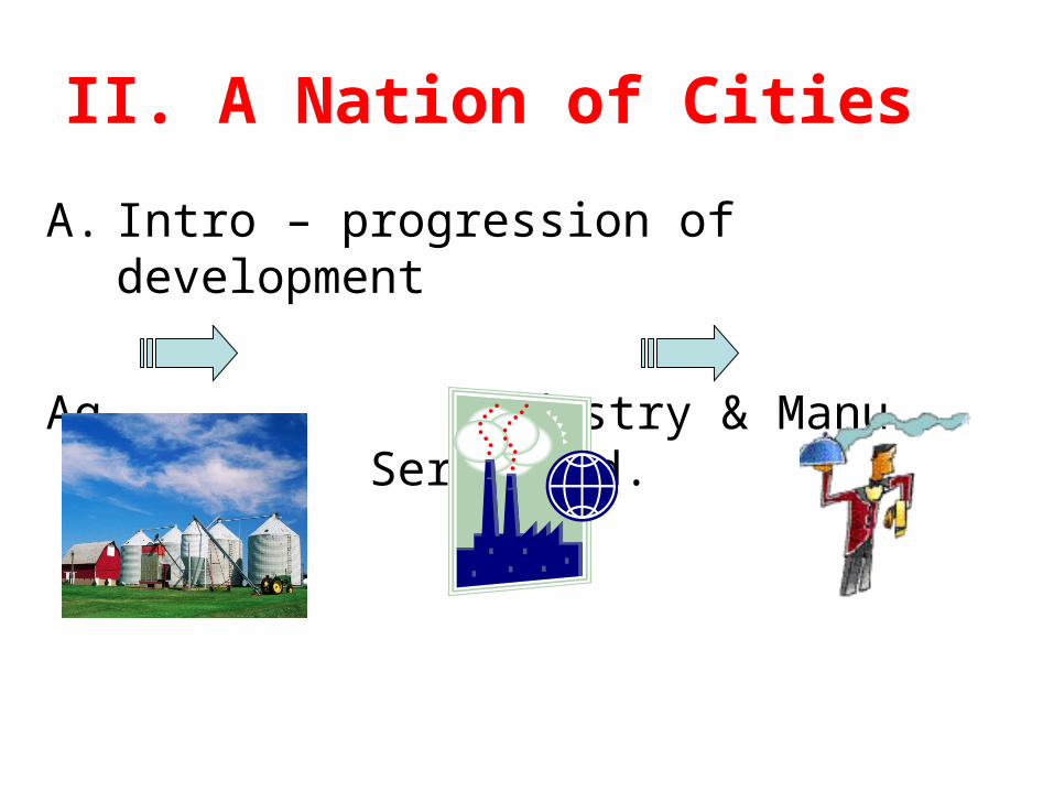
II. A Nation of Cities
A. Intro – progression of development
Ag Industry & Manu. Serv. Ind.
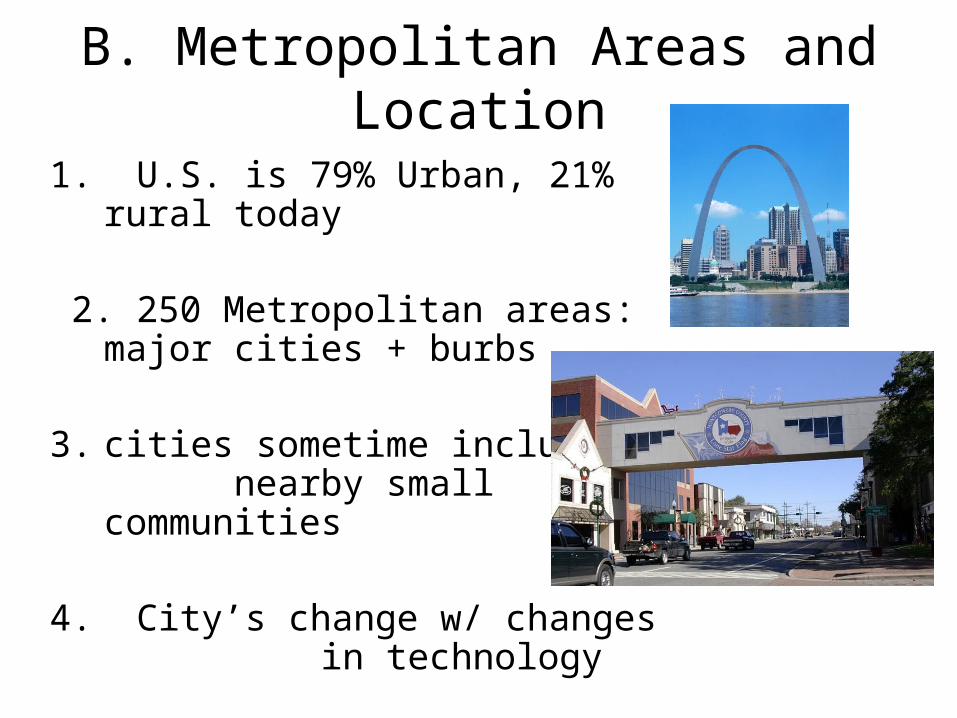
B. Metropolitan Areas and Location
1. U.S. is 79% Urban, 21% rural today
2. 250 Metropolitan areas: major cities + burbs
3. cities sometime include nearby small communities
4. City’s change w/ changes in technology
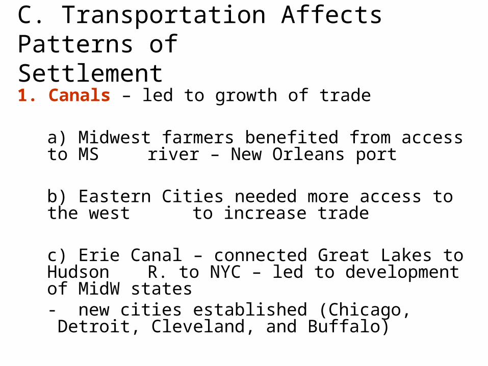
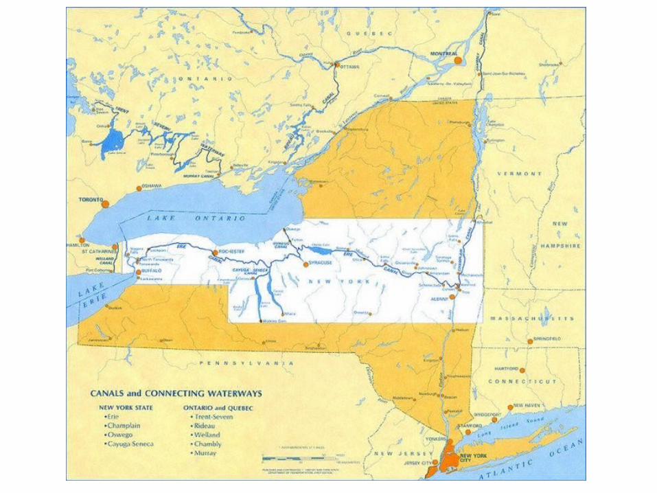
C. Transportation Affects Patterns of Settlement
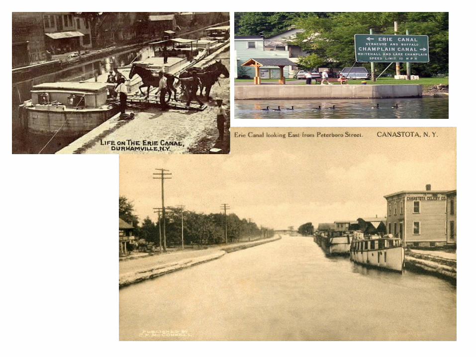
1. Canals – led to growth of trade
a) Midwest farmers benefited from access to MS river – New Orleans port
b) Eastern Cities needed more access to the west to increase trade
c) Erie Canal – connected Great Lakes to Hudson R. to NYC – led to development of MidW
states- new cities established (Chicago, Detroit, Cleveland, and Buffalo)
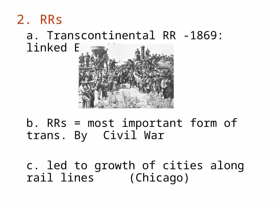
2. RRsa. Transcontinental RR -1869: linked E to W
b. RRs = most important form of trans. By Civil War
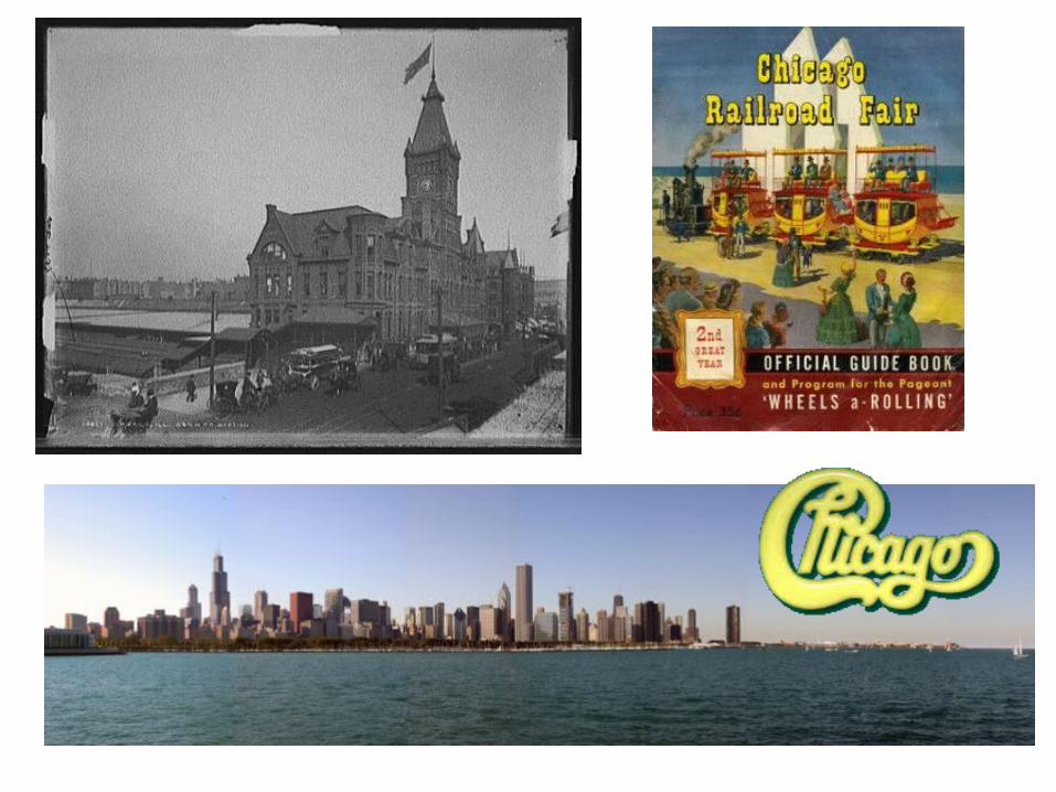
c. led to growth of cities along rail lines (Chicago)
3. Autos
a. freedom to move about the country
b. led to growth of other industries
1) rubber – tires
2) gas stations
3) hotel/motels along highways
c. interstate highway system – 1950s
d. of autos & mass transit led to dev of suburbs
e. neighborhoods grew on edge of cities
D. The Impact of Migration on the Nation
1. People & Biz moving to S & W – favorable temps
2. People move from cities to suburbs
3. New Orleans regained important b/c of cult. attractions
4. NYC & Chicago remained important b/c of variety of jobs and activities
E. Cities & Towns1. Interconnections – example buying a can of peas
at the grocery
a. farmer grows peas (primary econ. act.)
b. crop processed at factory (sec. econ. act.)
c. cans shipped to warehouse (tertiary econ. act.)
d. Managers research and determine where to ship, how much to store, etc..
(quaternary econ. act.)
2. Function & Size
a. Cities & their Hinterlands (areas influenced by their city)
- hinterlands of lg. cities may include entire
US or even the worldNYC = world’s financial centerChicago = U.S.’s agricultural centerL.A. = world’s movie center (what about Bollywood??)
- smaller cities have smaller hinterlands
4. Gentrification
a. Process of buying run-down homes in older areas of a community and restoring them
b. Wealthy moving back to inner cities
c. Some argue that gentrification increasing property values and property taxes thus pushing out other low income residents
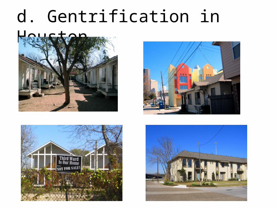
d. Gentrification in Houston
Regions of the U.S.
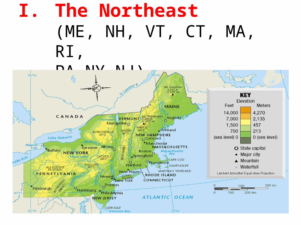
I. The Northeast (ME, NH, VT, CT, MA, RI,
PA,NY,NJ)
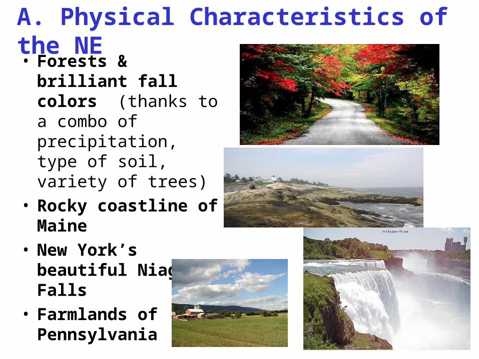
A. Physical Characteristics of the NE• Forests & brilliant
fall colors (thanks to a combo of precipitation, type of soil, variety of trees)
• Rocky coastline of Maine
• New York’s beautiful Niagara Falls
• Farmlands of Pennsylvania
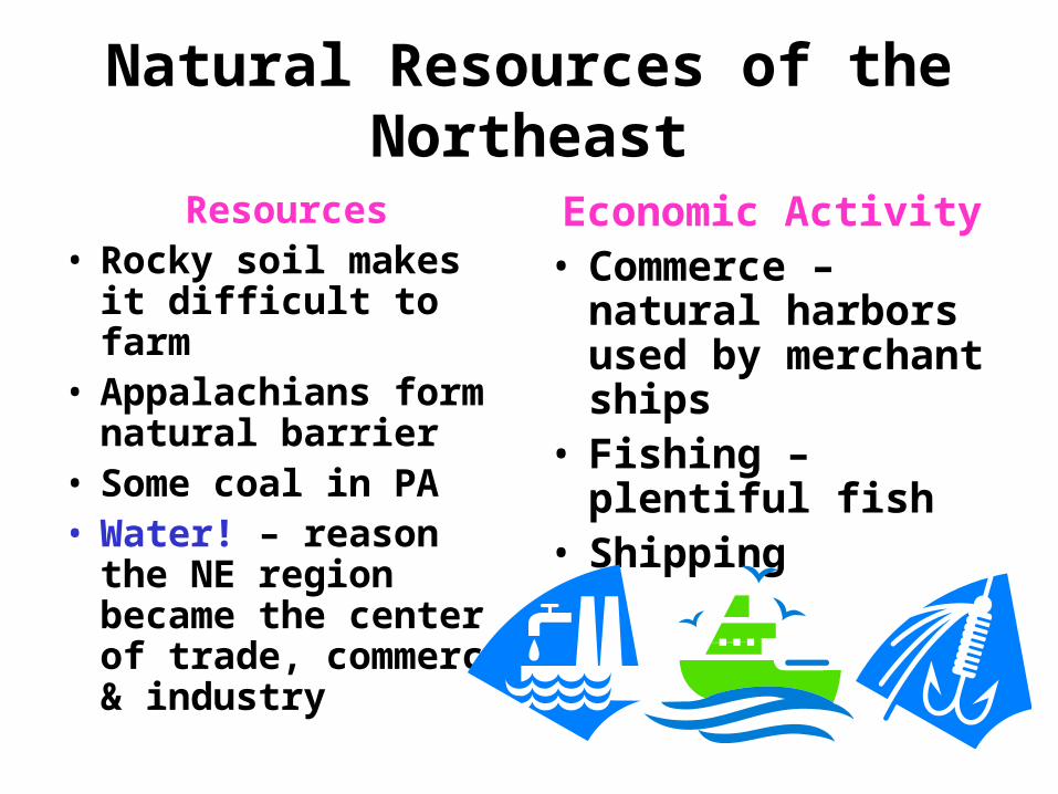
Natural Resources of the Northeast
Resources• Rocky soil makes it
difficult to farm• Appalachians form
natural barrier • Some coal in PA• Water! – reason the
NE region became the center of trade, commerce & industry
Economic Activity• Commerce – natural
harbors used by merchant ships
• Fishing – plentiful fish
• Shipping
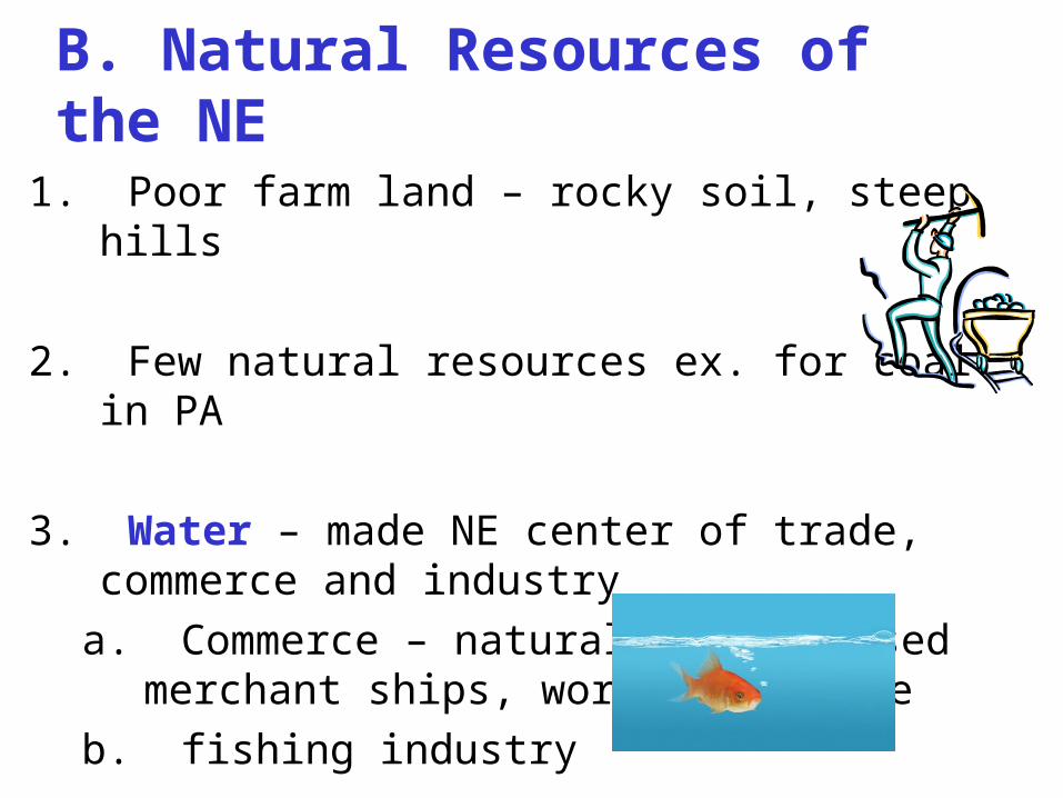
B. Natural Resources of the NE
1. Poor farm land – rocky soil, steep hills
2. Few natural resources ex. for coal in PA
3. Water – made NE center of trade, commerce and industry
a. Commerce – natural harbors used merchant ships, worldwide trade
b. fishing industry
C. A Leader in Industry
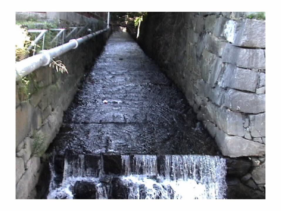
1. Hilly landscape + abundant precip.= swift moving water: used to power early factories. Built at waterfalls along region’s rivers
2. River Valleys = trade routes, RR routes, later – hwy routes
3. By 1900, NE = most productive manufacturing region in the world
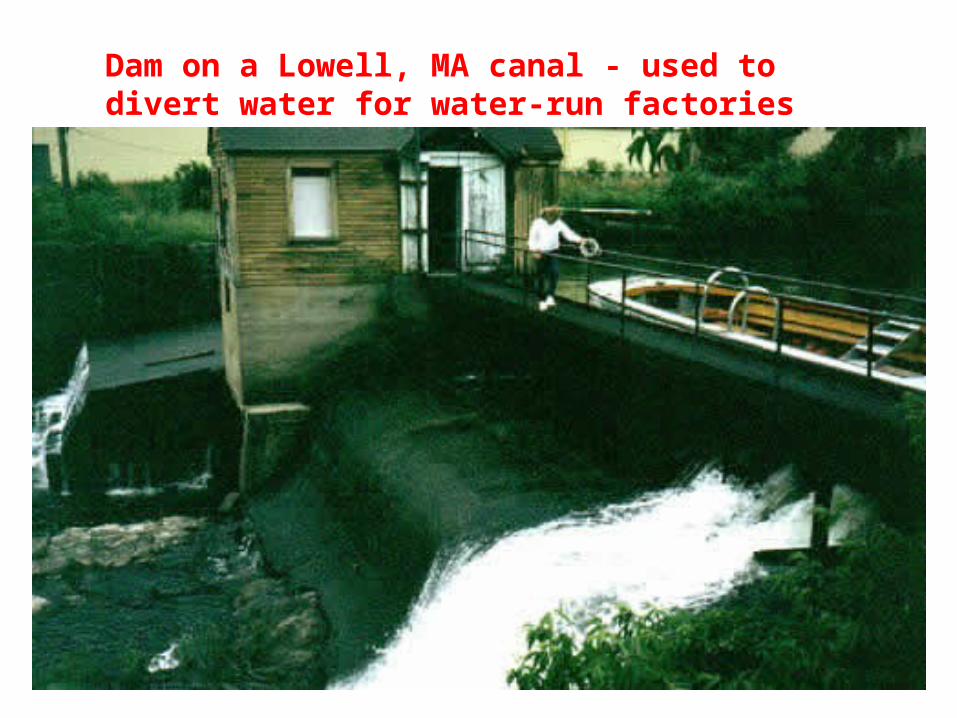
Dam on a Lowell, MA canal - used to divert water for water-run factories
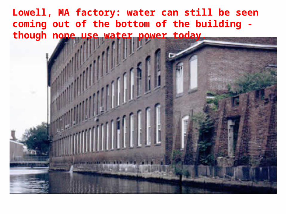
Lowell, MA factory: water can still be seen coming out of the bottom of the building - though none use water power today.
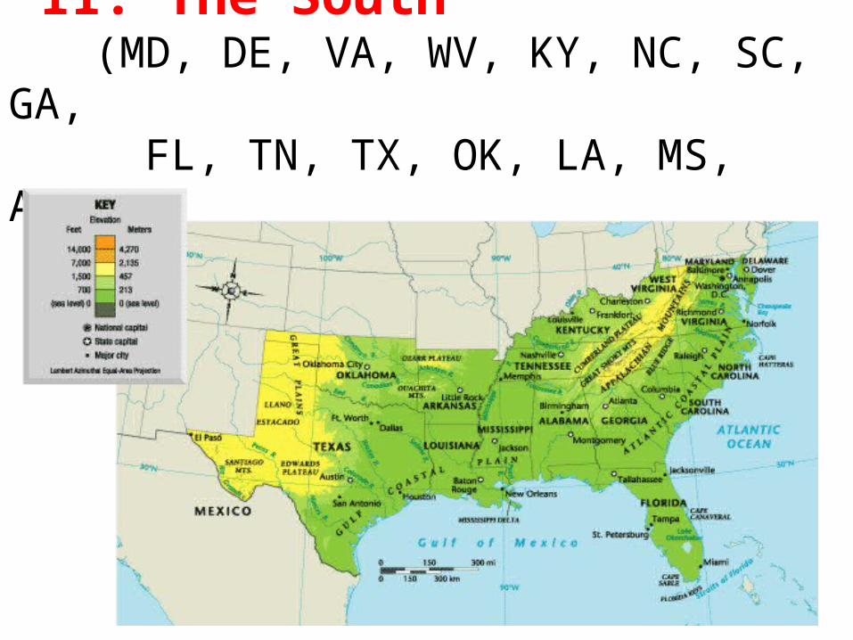
II. The South (MD, DE, VA, WV, KY, NC, SC, GA, FL, TN, TX, OK, LA, MS, AR, AL)
A. Climate & Vegetation1. Subtropical Climate
a. Closer to eq. = warmer climate
b. Close to Gulf of Mexico & Caribbean Sea = ample precipitation
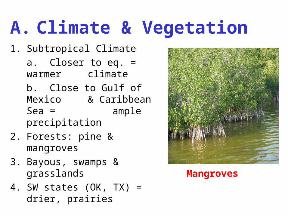
2. Forests: pine & mangroves
3. Bayous, swamps & grasslands
4. SW states (OK, TX) = drier, prairies
Mangroves
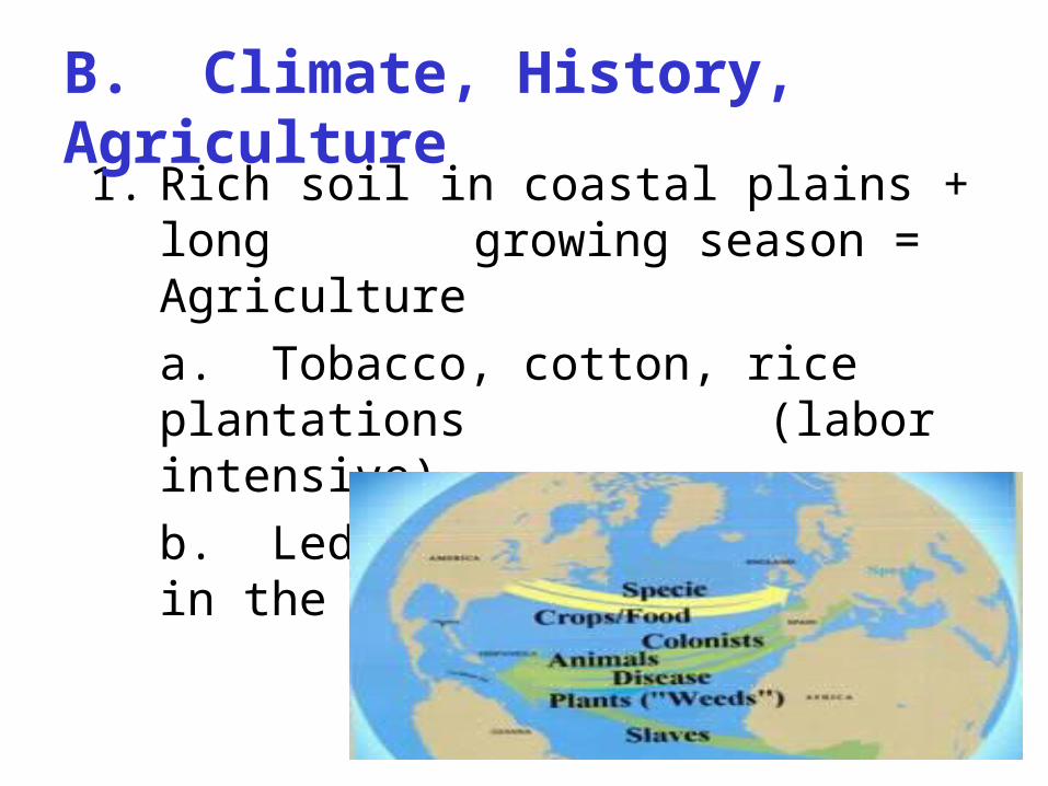
1. Rich soil in coastal plains + long growing season = Agriculture
a. Tobacco, cotton, rice plantations (labor intensive)
b. Led to growth of slavery in the region
B. Climate, History, Agriculture
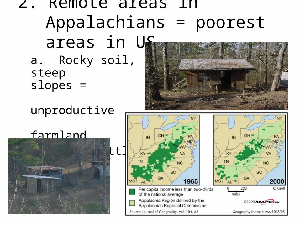
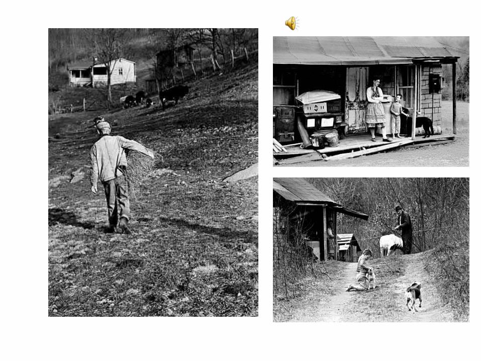
2. Remote areas in Appalachians = poorest areas in US
a. Rocky soil, steep slopes =
unproductive farmland
b. Very little industry
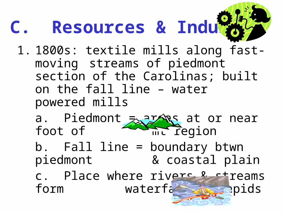
C. Resources & Industry1. 1800s: textile mills along fast-moving
streams of piedmont section of the Carolinas; built on the fall line – water powered mills
a. Piedmont = areas at or near foot of mt region
b. Fall line = boundary btwn piedmont & coastal plain
c. Place where rivers & streams form waterfalls & rapids
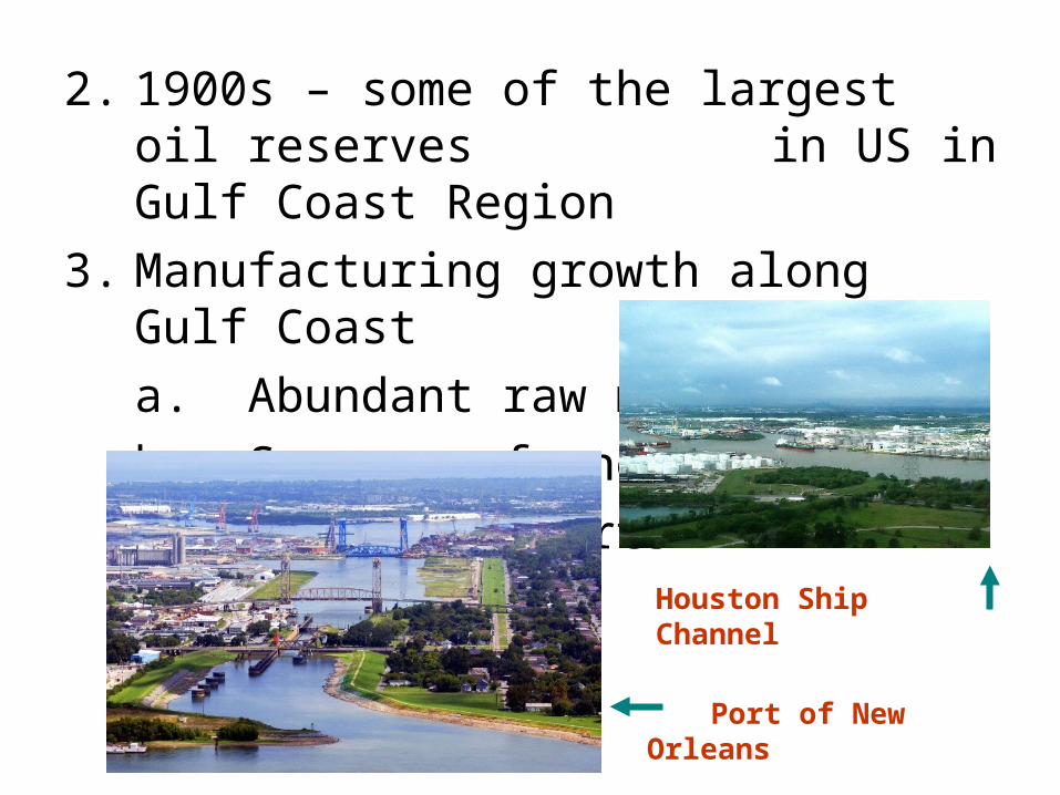
2. 1900s – some of the largest oil reserves in US in Gulf Coast Region
3. Manufacturing growth along Gulf Coast
a. Abundant raw materials
b. Sources of energy
c. Access to ports
Port of New Orleans
Houston Ship Channel
D. Changes in the South
1. Continued Growth of industry – biz moving north to south – why?
a. Better climate
b. Southern factories newer – better condition, more efficient
c. Land cheaper than NE
d. Less labor unions – cheaper labor
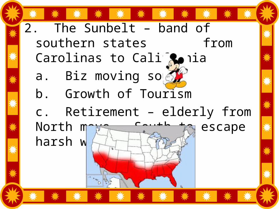
2. The Sunbelt – band of southern states from Carolinas to California
a. Biz moving south
b. Growth of Tourism
c. Retirement – elderly from North move South to escape harsh winters
E. Southern Population1. Varied
a. Over ½ black American pop. in south
( & more moving south – reverse of post-Civil War trend)
b. Hispanics – moving from Mexico & other Latin American countries
c. Cubans in FL – escape communist regime in Cuba
d. LA = French Ancestry
2. Major Cities
a. New Orleans – major trading center/port at mouth of Mississippi R.
b. Miami – gateway to Caribbean & S. America
c. Atlanta – major airline hub
d. Houston – industrial & trading, NASA, oil
e. Dallas – biz & electronics center
3. Washington DC – not a state, nation’s capital
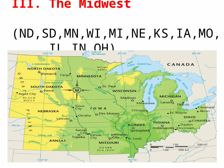
III. The Midwest (ND,SD,MN,WI,MI,NE,KS,IA,MO, IL,IN,OH)
A. An Agricultural Economy
1. Characteristicsa. Flat, fertile soil (humus)b. Climate (cold winters, long, warm
summers2. Regional variations – growing season diff. in diff.
parts of MW according to temp/precip.a. IL, IN, IA = soybeans, corn, hogsb. Great Plains = wheat, oats, etcc. Northern states = dairy cattle, hay
3. Nations Breadbasket – MW farms most productive in world – wheat, corn, soybeans, hogs
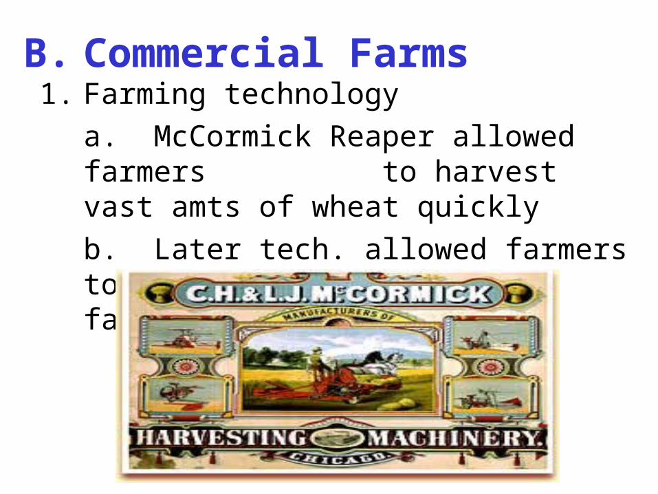
B. Commercial Farms1. Farming technology
a. McCormick Reaper allowed farmers to harvest vast amts of wheat
quickly
b. Later tech. allowed farmers to produce more, faster, w/ fewer
workers
-
D. Transportation & Industry1. RRs & waterways (Great Lakes & Miss. River)
link MW’s major cities to e/o and to other regions
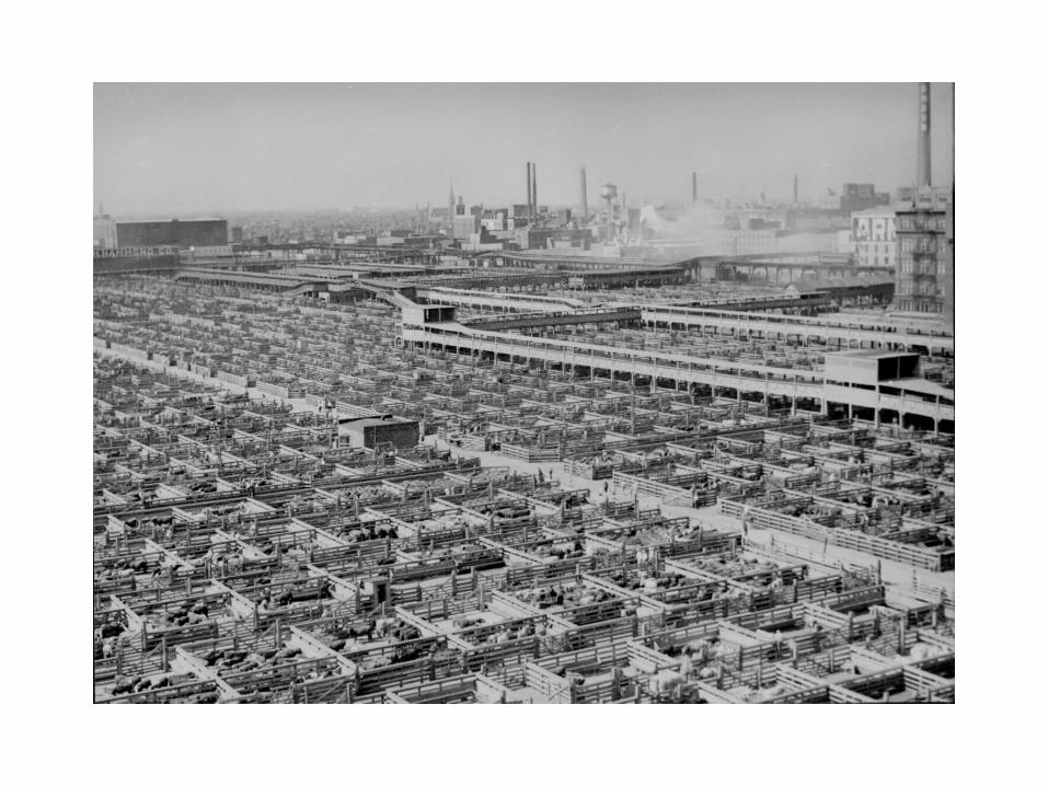
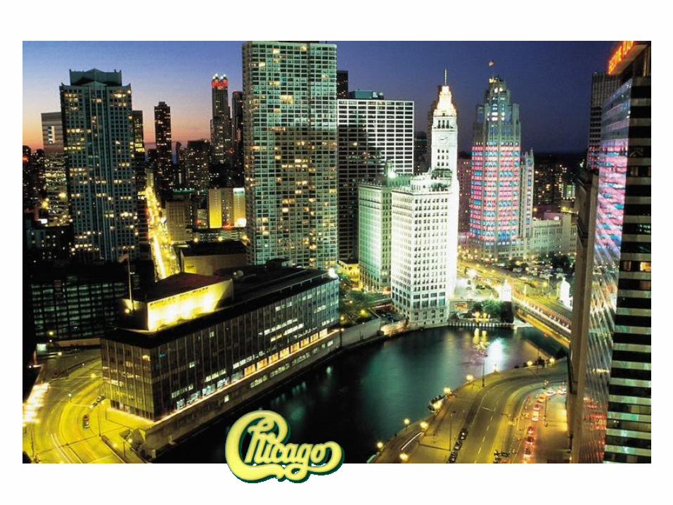
2. Chicago = largest city.
a. Most important US RR hub – grain, livestock in from west,
processed/slaughtered, then shipped east
b. Port on Lake MI
c. O’Hare Airport = 1 of world’s busiest
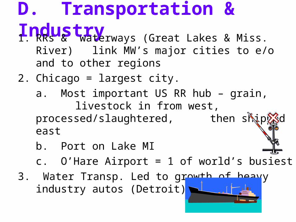
3. Water Transp. Led to growth of heavy industry autos (Detroit), machinery
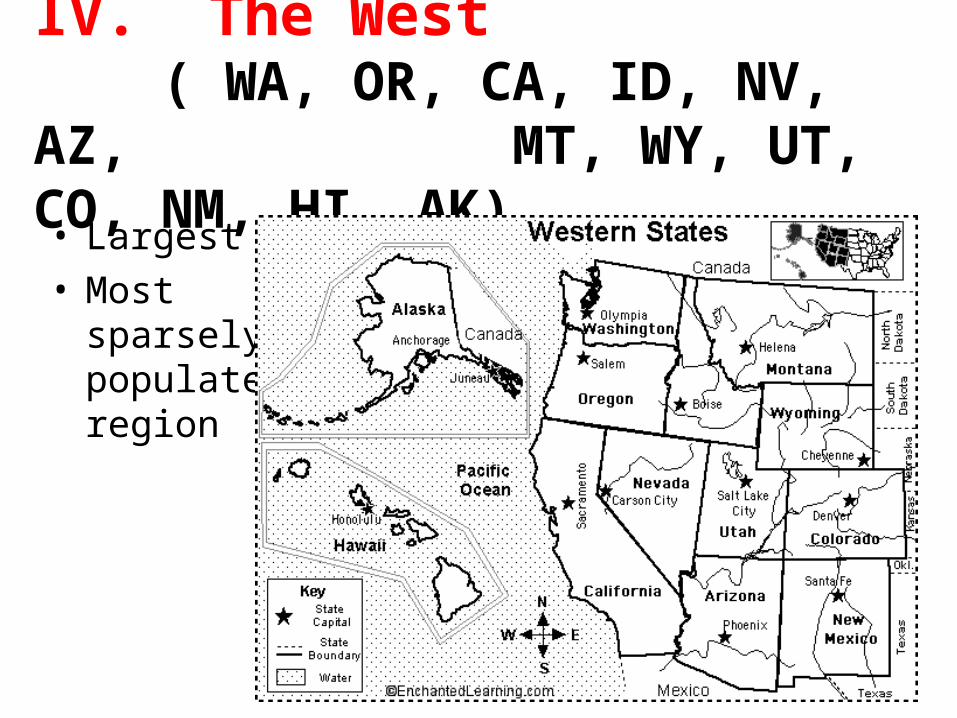
IV. The West ( WA, OR, CA, ID, NV, AZ, MT, WY, UT, CO, NM, HI, AK)
• Largest• Most
sparsely populated region
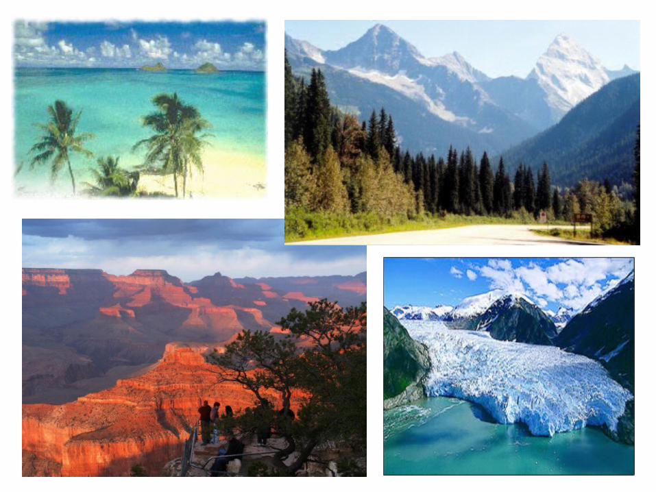
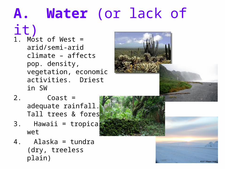
A. Water (or lack of it)1. Most of West =
arid/semi-arid climate – affects pop. density, vegetation, economic activities. Driest in SW
2. Coast = adequate rainfall. Tall trees & forests
3. Hawaii = tropical wet
4. Alaska = tundra (dry, treeless plain)
B. Natural Resources & the Economy
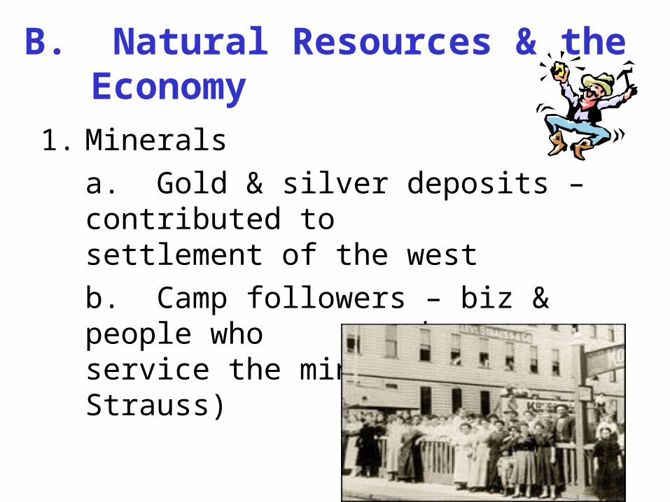
1. Minerals
a. Gold & silver deposits – contributed to settlement of the west
b. Camp followers – biz & people who moved west to service the mines (Levi Strauss)
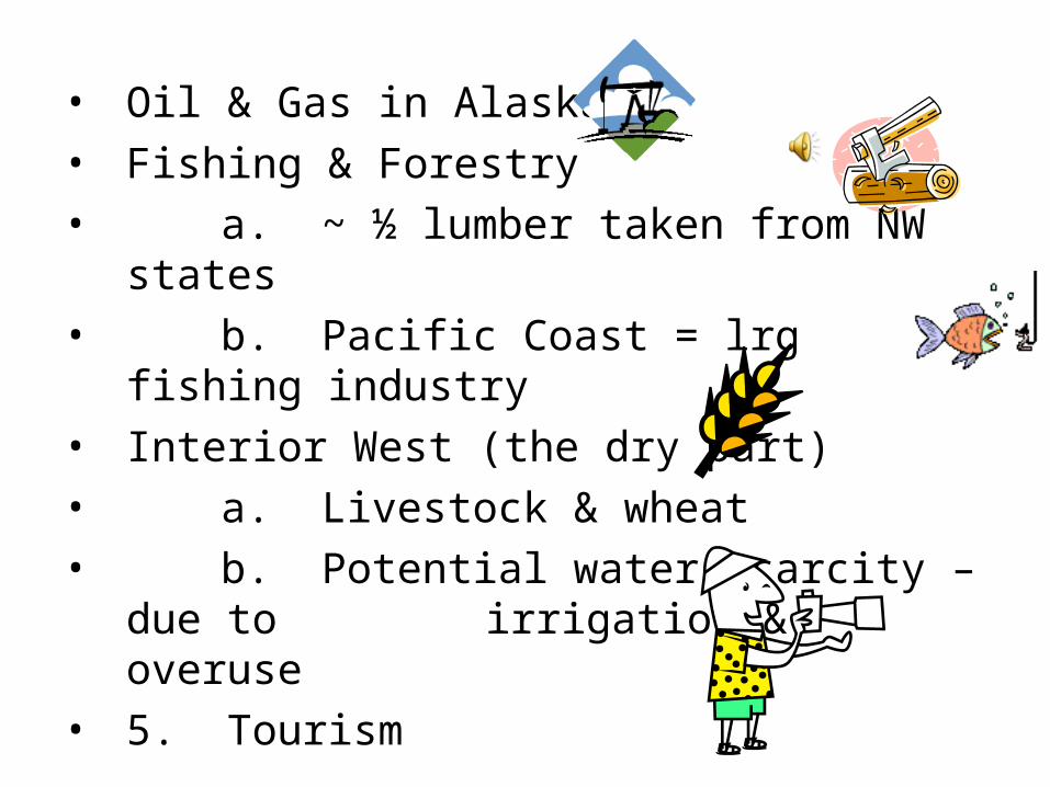
• Oil & Gas in Alaska
• Fishing & Forestry
• a. ~ ½ lumber taken from NW states
• b. Pacific Coast = lrg fishing industry
• Interior West (the dry part)
• a. Livestock & wheat
• b. Potential water scarcity – due to irrigation & overuse
• 5. Tourism
C. The Growth of Western Cities1. CA = most populous US state2. West coast = 2nd in importance to BOSWASH
megalopolisa. Ag = 80% of CA water supply b. Aqueducts carry water from mts
3. LA: began as cattle town, then aircraft industry, then movie industry
4. Silicon Valley – leading center of computer tech. – software cos.
a. Alaska = lrgest land area, most sparsely populated – oil
b. Hawaii = military facilities, ag, tourism - 8 main islands
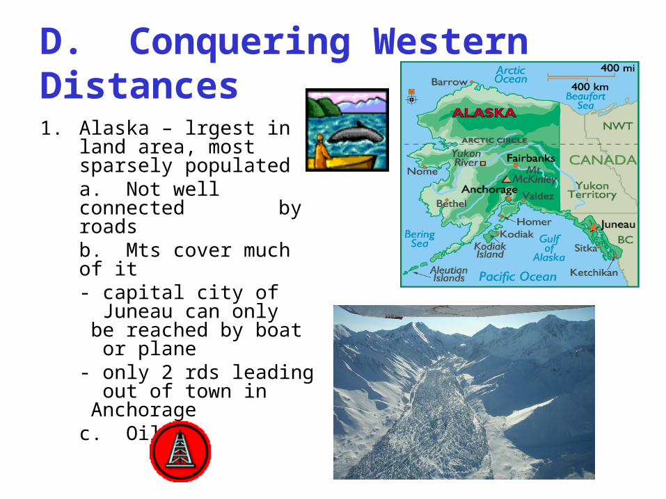
D. Conquering Western Distances1. Alaska – lrgest in land
area, most sparsely populateda. Not well connected
by roadsb. Mts cover much of it
- capital city of Juneau
can only be reached by boat or plane
- only 2 rds leading out of town in Anchoragec. Oil
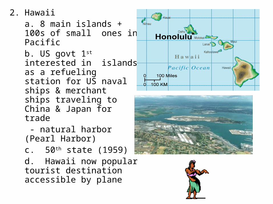
2. Hawaiia. 8 main islands + 100s of small ones in Pacificb. US govt 1st interested inislands as a refueling station for US naval ships & merchant ships traveling to China & Japan for trade
- natural harbor (Pearl Harbor)
c. 50th state (1959)d. Hawaii now popular tourist destination accessible by plane

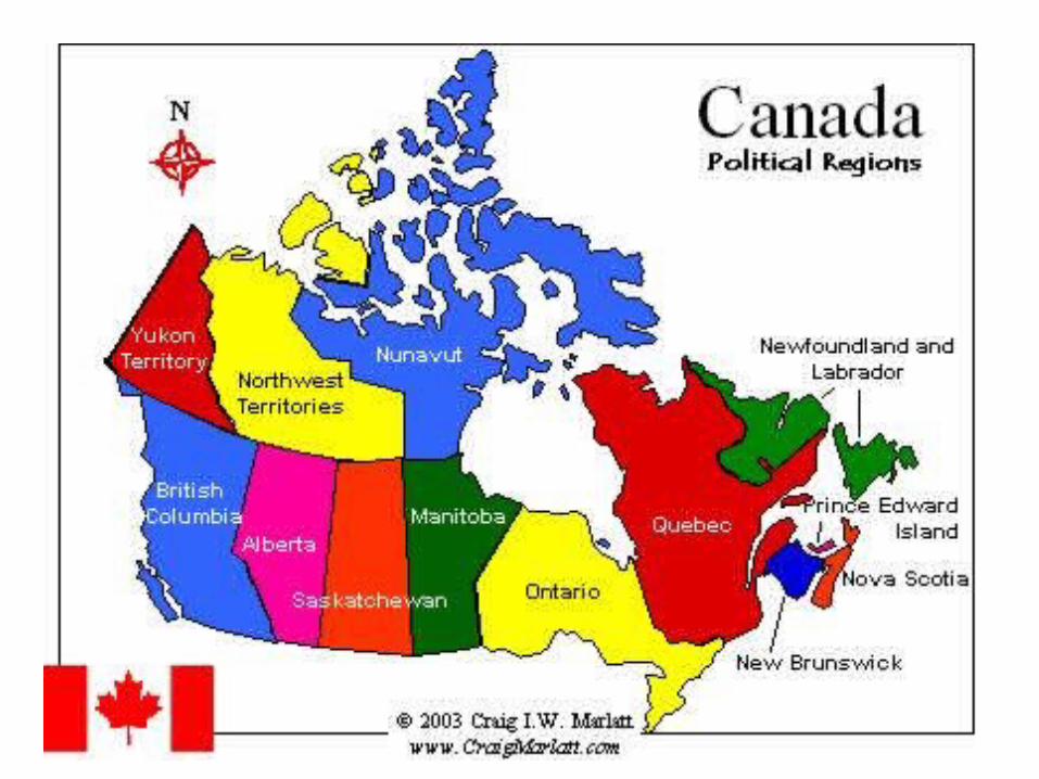
Fun facts about Canada• 10 provinces + 3 territories
• Population: 33,098,932 (July 2006 est.)
• Literacy Rate: 99%
• Gov’t: constitutional monarchy that is also a parliamentary democracy and a federation
• Chief of State: Queen Elizabeth II
• Head of Gov’t: Prime Minister Stephen Harper
• Capital = Ottawa
I. Regions of Canada
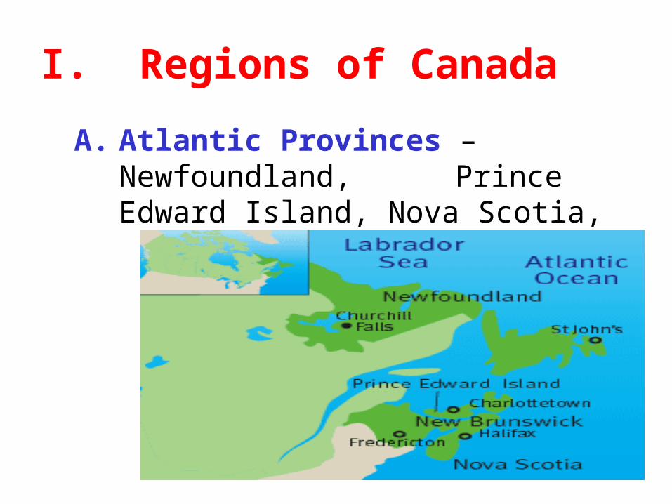
A. Atlantic Provinces – Newfoundland, Prince Edward Island, Nova Scotia, New Brunswick
1. Links to the sea – All border the Atlantic
a. Maritimes – close ties to the sea
b. Coast – many bays, inlets, harbors
c. Smallest provinces: 5% of land; 8% of population
d. Economically disadvantaged
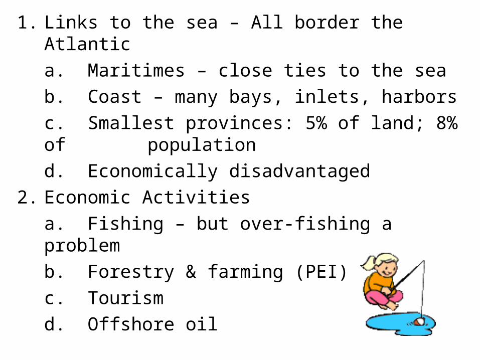
2. Economic Activities
a. Fishing – but over-fishing a problem
b. Forestry & farming (PEI)
c. Tourism
d. Offshore oil
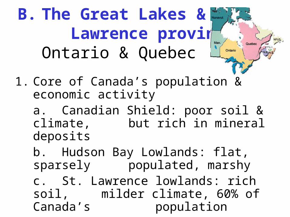
B. The Great Lakes & St. Lawrence provincesOntario & Quebec
1. Core of Canada’s population & economic activitya. Canadian Shield: poor soil & climate, but rich in mineral depositsb. Hudson Bay Lowlands: flat, sparsely populated, marshyc. St. Lawrence lowlands: rich soil,
milder climate, 60% of Canada’s population
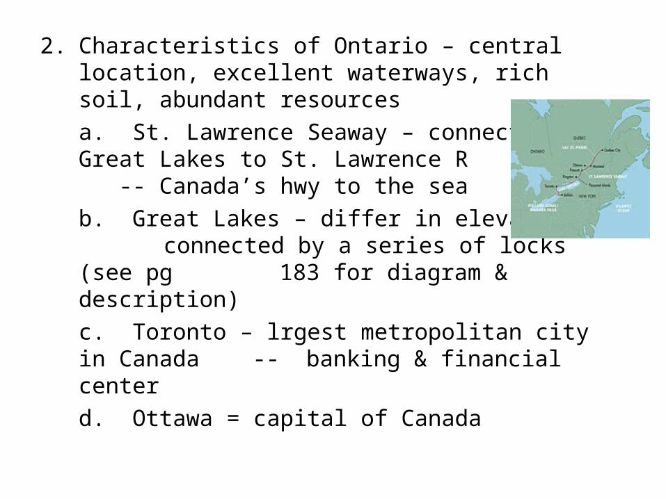
2. Characteristics of Ontario – central location, excellent waterways, rich soil, abundant resources
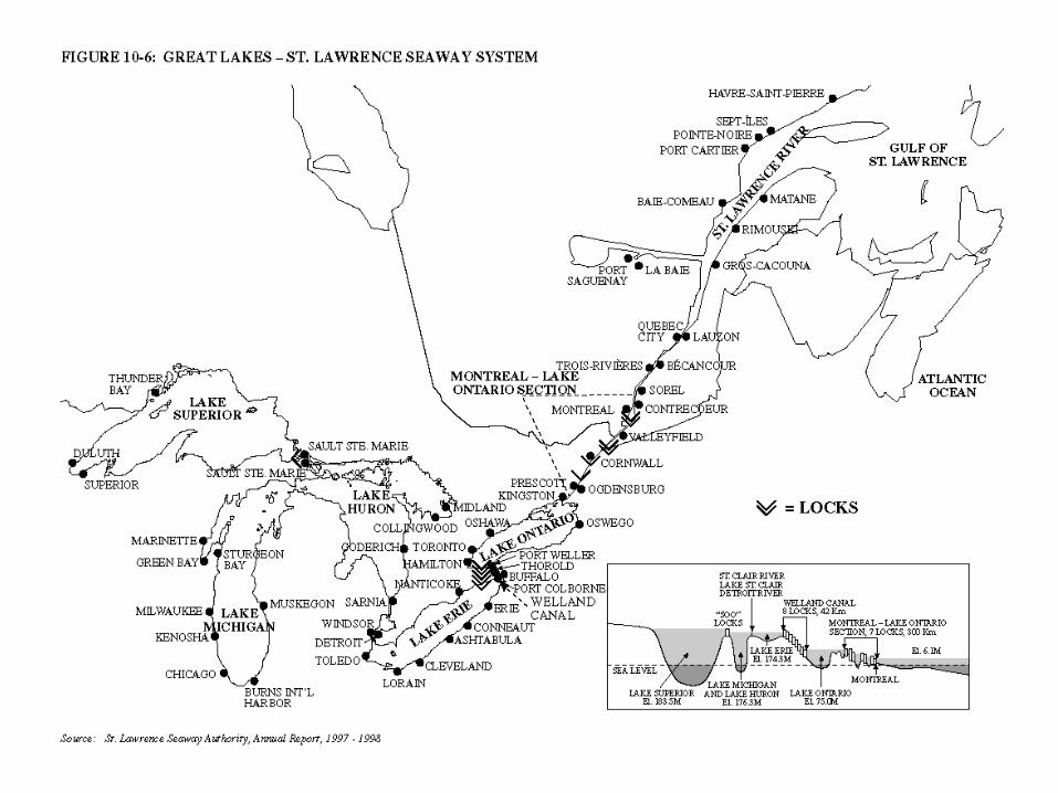
a. St. Lawrence Seaway – connects Great Lakes to St. Lawrence R -- Canada’s hwy to the sea
b. Great Lakes – differ in elevation – connected by a series of locks (see pg
183 for diagram & description)
c. Toronto – lrgest metropolitan city in Canada -- banking & financial center
d. Ottawa = capital of Canada
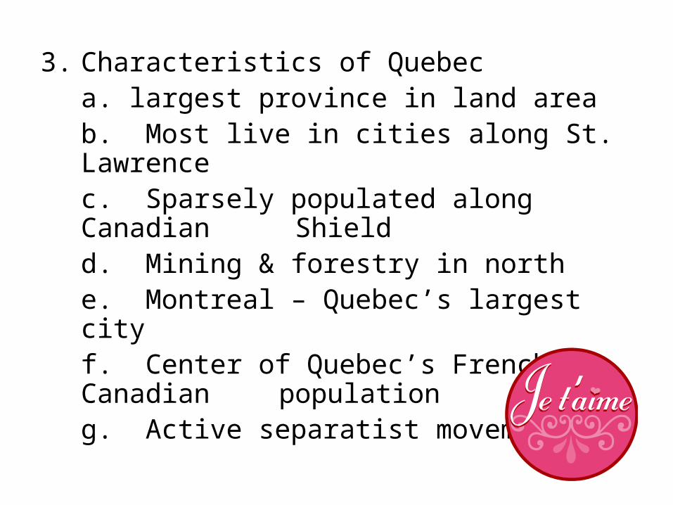
3. Characteristics of Quebeca. largest province in land areab. Most live in cities along St. Lawrencec. Sparsely populated along Canadian Shieldd. Mining & forestry in northe. Montreal – Quebec’s largest cityf. Center of Quebec’s French-Canadian
populationg. Active separatist movement
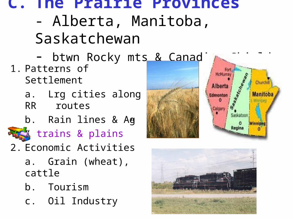
C. The Prairie Provinces- Alberta, Manitoba, Saskatchewan- btwn Rocky mts & Canadian Shield
1. Patterns of Settlement
a. Lrg cities along RR routes
b. Rain lines & Ag
“ trains & plains”
2. Economic Activities
a. Grain (wheat), cattle
b. Tourism
c. Oil Industry
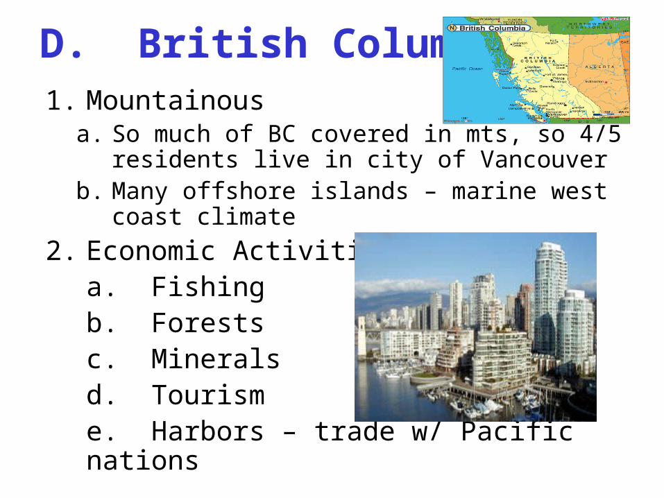
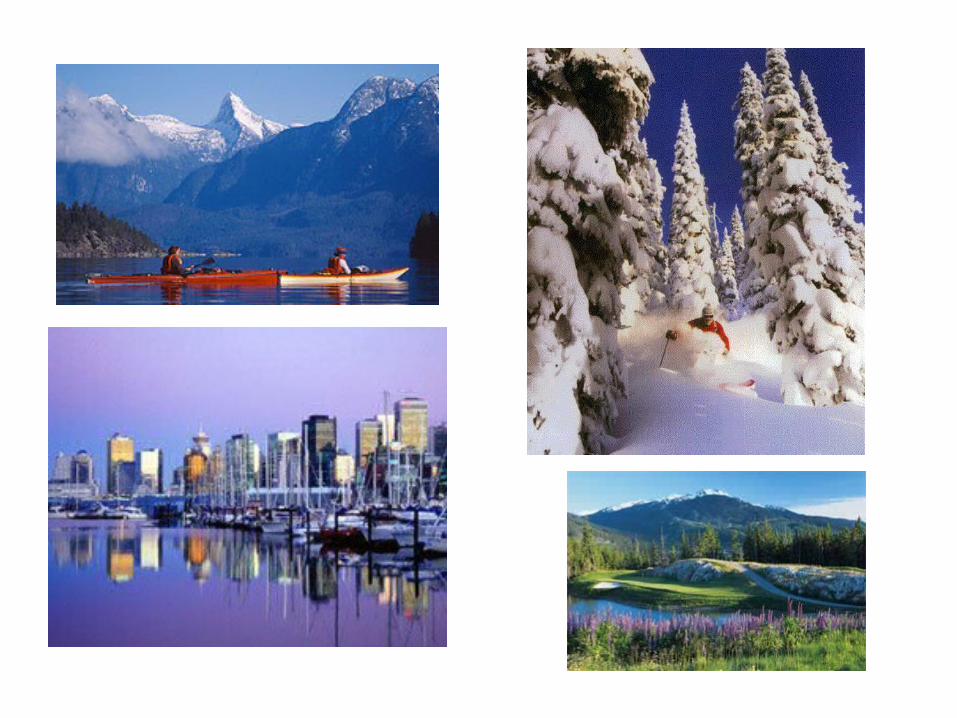
D. British Columbia1. Mountainous
a. So much of BC covered in mts, so 4/5 residents live in city of Vancouver
b. Many offshore islands – marine west coast climate
2. Economic Activitiesa. Fishingb. Forestsc. Minerals d. Tourisme. Harbors – trade w/ Pacific nations
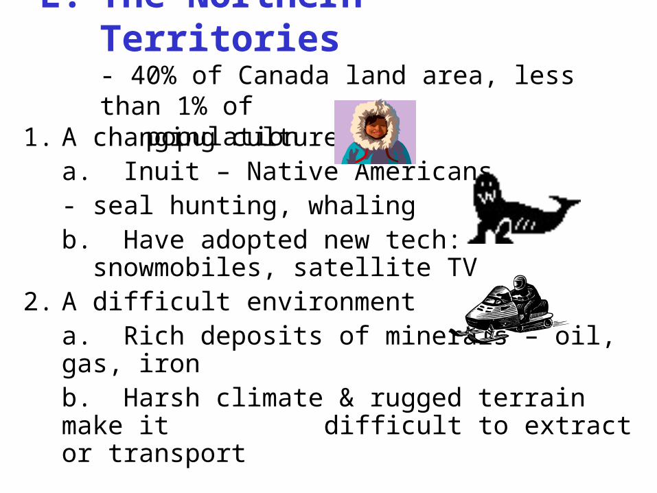
E. The Northern Territories- 40% of Canada land area, less than 1% of population
1. A changing culturea. Inuit – Native Americans
- seal hunting, whaling b. Have adopted new tech:
snowmobiles, satellite TV 2. A difficult environment
a. Rich deposits of minerals – oil, gas, ironb. Harsh climate & rugged terrain make it
difficult to extract or transport
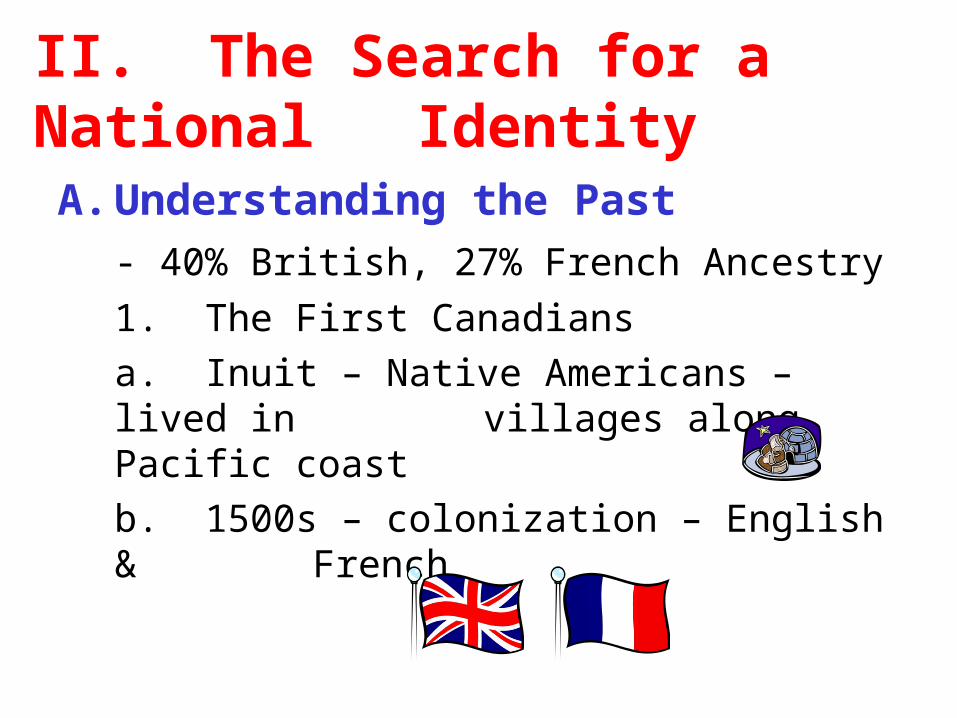
II. The Search for a National IdentityA. Understanding the Past
- 40% British, 27% French Ancestry
1. The First Canadians
a. Inuit – Native Americans – lived in villages along Pacific coast
b. 1500s – colonization – English & French
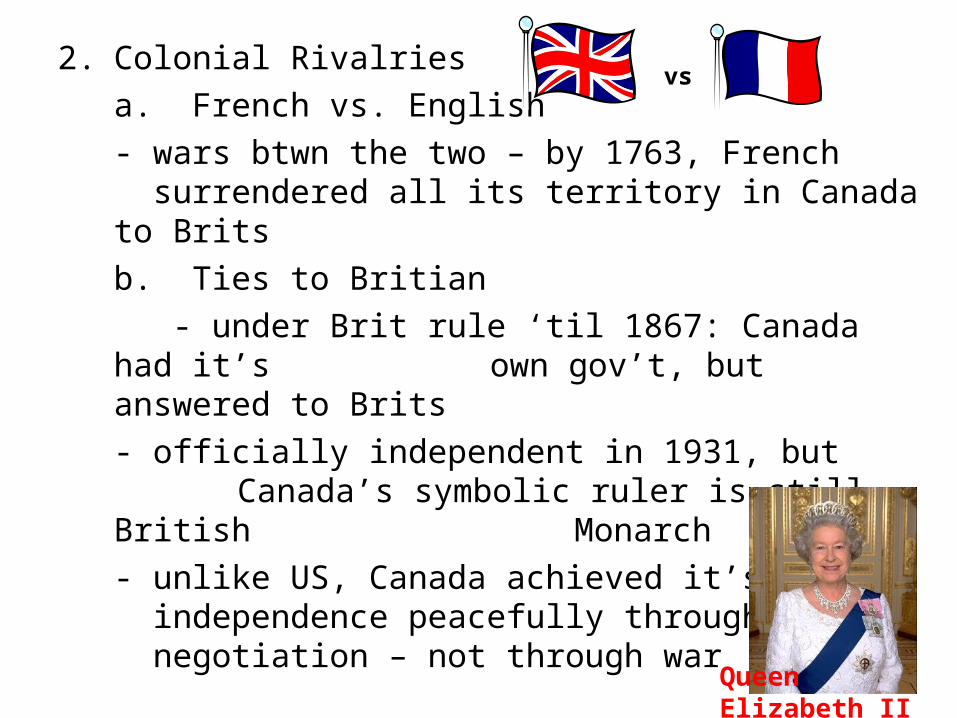
2. Colonial Rivalries
a. French vs. English
- wars btwn the two – by 1763, French surrendered all its territory in Canada
to Brits
b. Ties to Britian
- under Brit rule ‘til 1867: Canada had it’s own gov’t, but answered to Brits
- officially independent in 1931, but Canada’s symbolic ruler is still British Monarch
- unlike US, Canada achieved it’s independence peacefully through negotiation – not through war
vs
Queen Elizabeth II
B. Conflict Btwn 2 Cultures1. French Culture
a. French-Canadian Pop = ¼ of total pop.
b. Most live in Quebec
c. When Canada independent, gov’t guaranteed rights of French-speaking citizens
d. Today, both English and French are official languages of Canada
- only 15% of Canadians are bilingual
2. Discontenta. Many French-Canadians feel discriminated against by English- speaking majority – claim they are denied gov’t jobs, industryb. Many pushed for separation – a move
to make Quebec separate, independent country
c. 1974 – French made official language Quebec
- many English-speaking residents & biz left
d. 1995 – Quebec voted to decide whether to secede from Canada.
Voted by a small margin to remain part of Canada (50.6%
to 49.4%)
e. 1998 – Canada’s high court declared that Quebec can’t
secede even if their voters eventually approve separation
C. Welcoming Diversity, Promoting Unity1. A Multicultural Society
a. Inuit in territoriesb. Immigration – from Europe & Asia
(BC)2. Uniting Canada’s Regions
a. United through transportation & communication
b. National unity is difficult as citizens tend to identify w/ province rather than
nation
III. Canada Today1. Natural Resources
a. Difficult to balance need for NR w/ need to preserve environment
b. Difficult to transport oil & gas w/o disrupting animal habitat
c. Lumber & over-fishing
2. Urbanization
a. Challenge to provide housing & other social services
b. Difficult to control pollution & overcrowding
B. Links with US – 5000 mile long border
1. Cultural Linksa. People living along border share
TV/Radio/Sports2. Economic Links
a. Canada buys 25% of US exportsb. US buys 85% of Canada’s exportsc. NAFTAd. Uneven Relationship – Canadians feel
overshadowed by US
C. Links with the world1. Importance of location
a. Major ports of Atlantic & Pacific
b. Trade w/ Europe & Asia
2. Member of Commonwealth
a. Links with other former British colonies
b. Links with developing nations
c. Role of Peace-keeper – active in arms control, disarmament
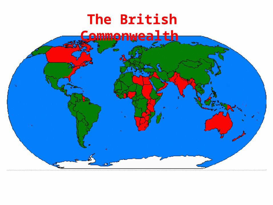
The British Commonwealth
Recommended


![Attention-based Adaptive Model to Unify Warm and …mzhang/publications/CIKM18Shi.pdfboth warm and cold scenarios [36]. Some works merge individual predictions of CF and CB methods](https://img.pdfslide.us/doc/110x75/5f8d04c4f80ba25e3d6a8b4e/attention-based-adaptive-model-to-unify-warm-and-mzhangpublications-both-warm.jpg)