Regions of Texas
Essential Question: How do physical and human characteristics distinguish the four regions of Texas?
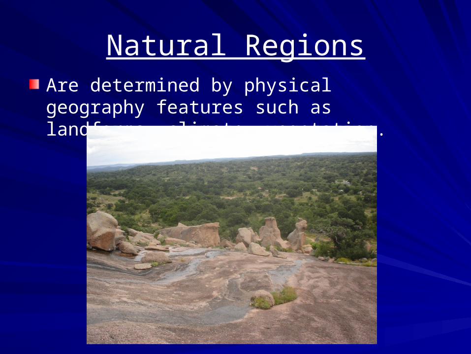
Natural RegionsAre determined by physical geography features such as landforms, climate, vegetation.
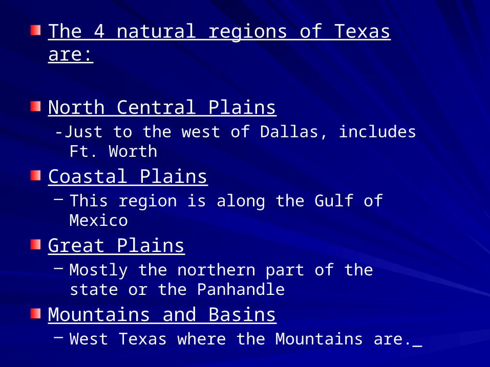
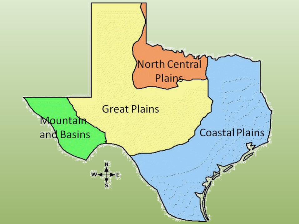
The 4 natural regions of Texas are:
North Central Plains-Just to the west of Dallas, includes Ft. Worth
Coastal Plains– This region is along the Gulf of Mexico
Great Plains– Mostly the northern part of the state or the
Panhandle
Mountains and Basins– West Texas where the Mountains are.
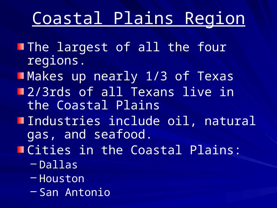
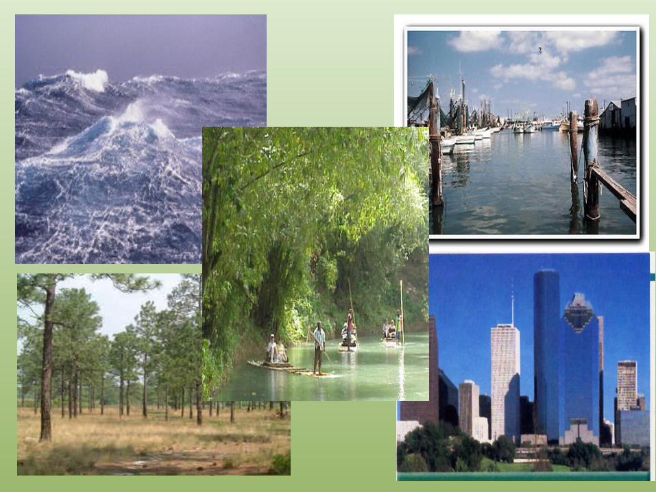
Coastal Plains Region
The largest of all the four regions. Makes up nearly 1/3 of Texas 2/3rds of all Texans live in the Coastal PlainsIndustries include oil, natural gas, and seafood. Cities in the Coastal Plains:– Dallas– Houston– San Antonio
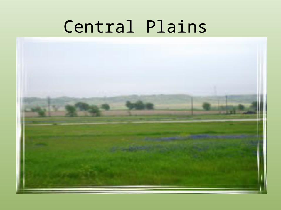
Central Plains
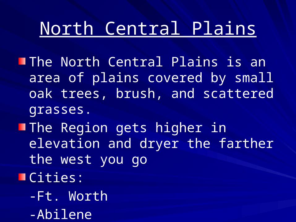
North Central Plains
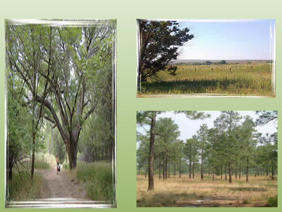
The North Central Plains is an area of plains covered by small oak trees, brush, and scattered grasses.
The Region gets higher in elevation and dryer the farther the west you go
Cities:
-Ft. Worth
-Abilene
-Wichita Falls
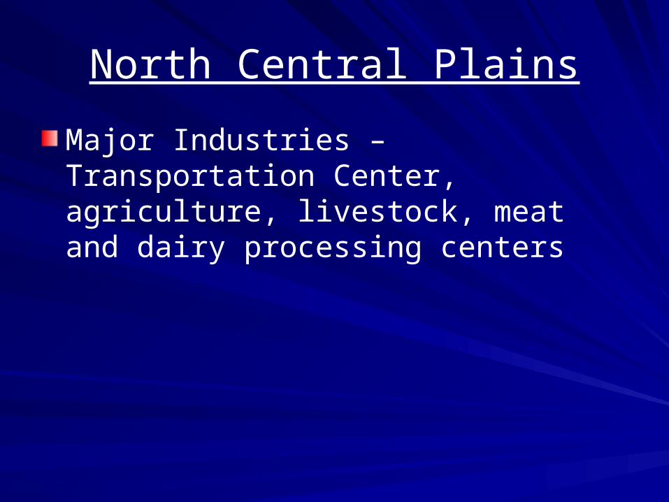
North Central Plains
Major Industries – Transportation Center, agriculture, livestock, meat and dairy processing centers
Great Plains
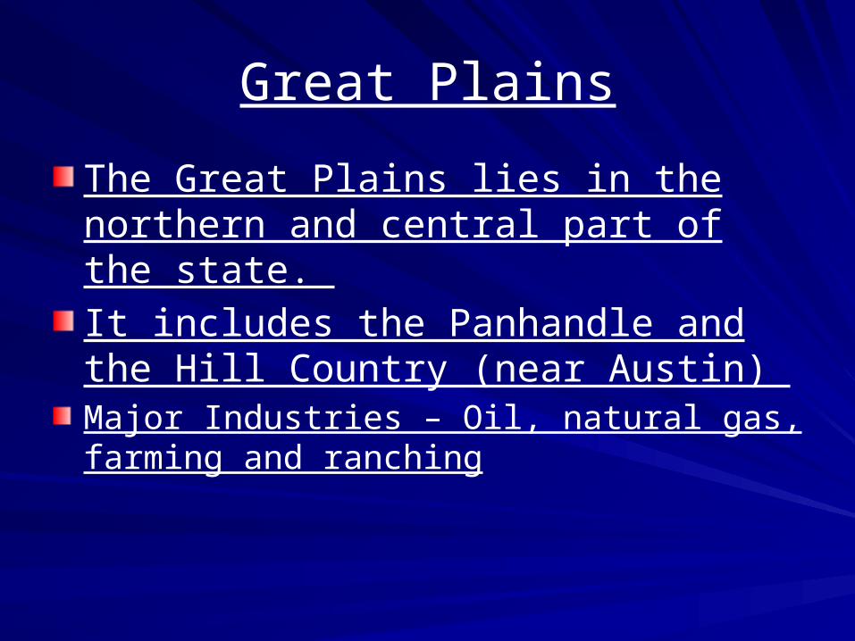
The Great Plains lies in the northern and central part of the state.
It includes the Panhandle and the Hill Country (near Austin) Major Industries – Oil, natural gas, farming and ranching
Great Plains
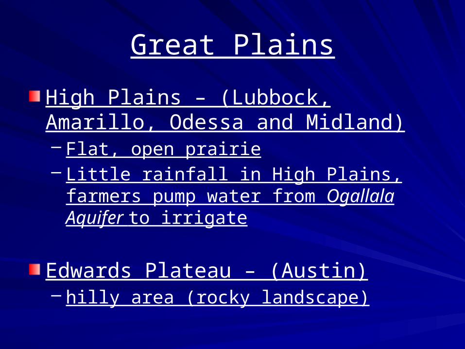
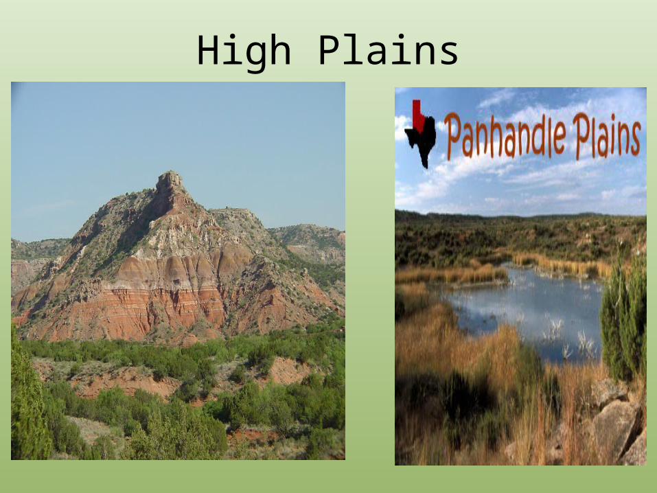
High Plains – (Lubbock, Amarillo, Odessa and Midland)– Flat, open prairie– Little rainfall in High Plains, farmers pump
water from Ogallala Aquifer to irrigate
Edwards Plateau – (Austin)– hilly area (rocky landscape)
High Plains
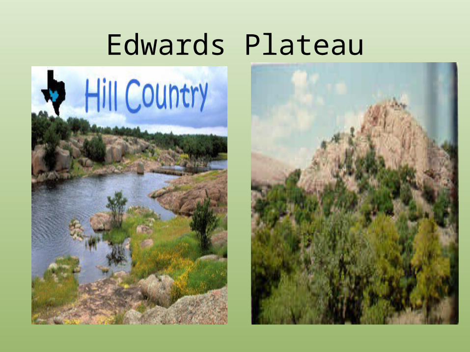
Edwards Plateau
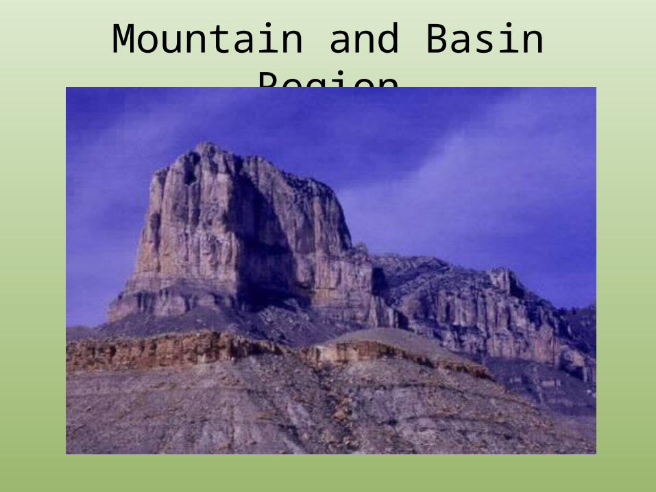
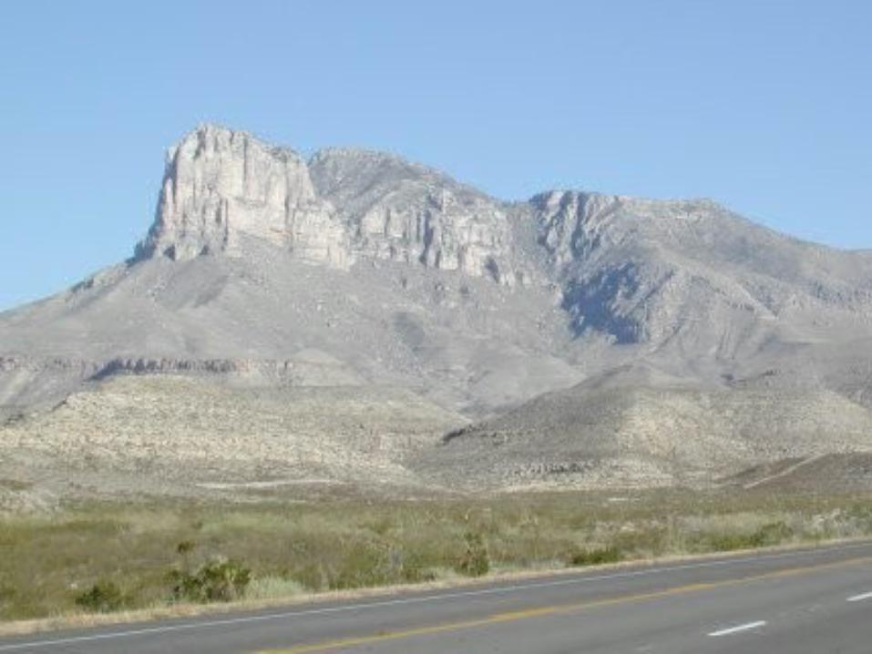
Mountain and Basin Region
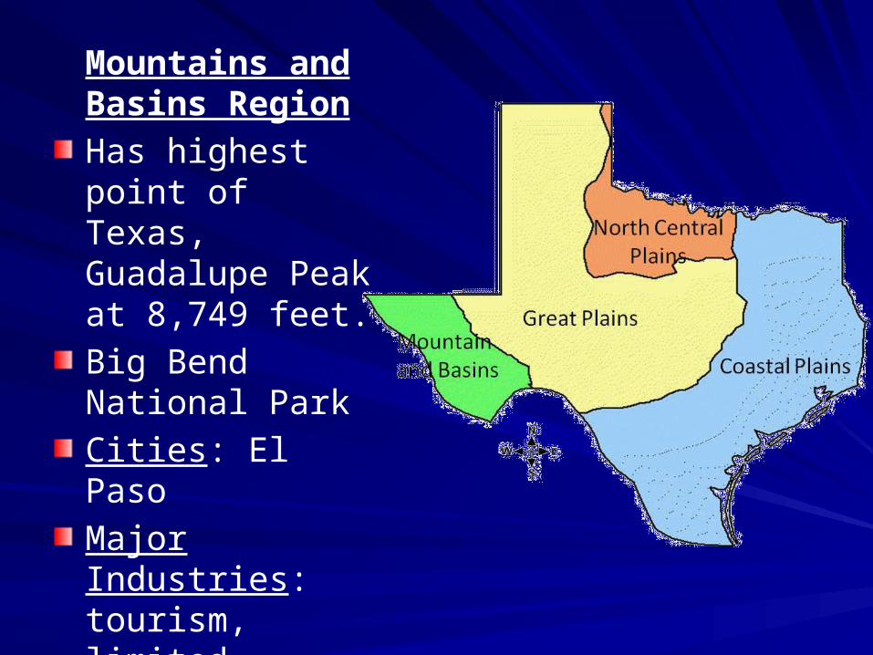
Mountains and Basins Region
Has highest point of Texas, Guadalupe Peak at 8,749 feet.
Big Bend National Park
Cities: El Paso
Major Industries: tourism, limited farming/ranching, oil, silver, and sulfur
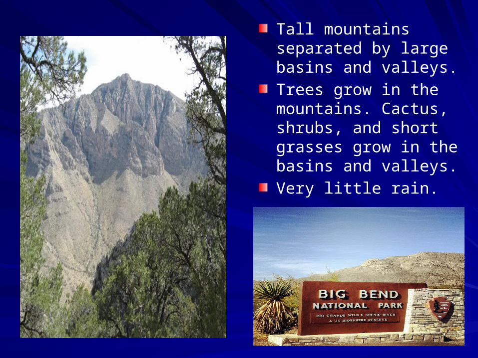
Tall mountains separated by large basins and valleys.
Trees grow in the mountains. Cactus, shrubs, and short grasses grow in the basins and valleys.
Very little rain.
Recommended