WASTE PROGRAMS DIVISIONGIS and Data Management Unit
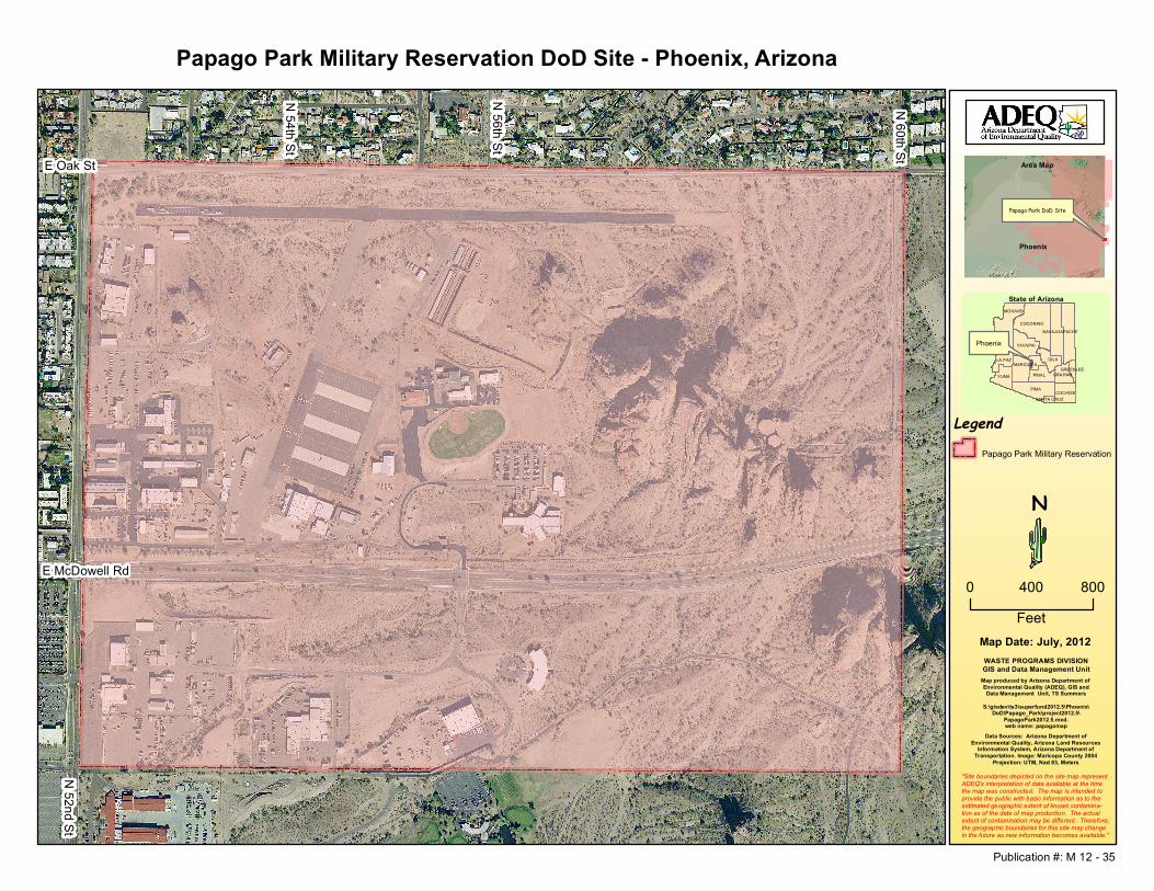
Papago Park Military Reservation DoD Site - Phoenix, Arizona
Map Date: July, 2012
Area Map
PIMA
COCONINO
MOHAVE
GILA
YUMA
YAVAPAI
PINAL
MARICOPA
COCHISE
LA PAZ
APACHENAVAJO
GRAHAMGREENLEE
SANTA CRUZ
State of Arizona
TS Summers
T S Summers
N
Map produced by Arizona Department of Environmental Quality (ADEQ), GIS andData Management Unit, TS Summers
S:\gisdev\ts3\superfund2012.5\Phoenix\DoD\Papago_Park\project2012.5\
PapagoPark2012.5.mxd.web name: papagomap
Phoenix
Data Sources: Arizona Department ofEnvironmental Quality, Arizona Land Resources
Information System, Arizona Department ofTransportation. Image: Maricopa County 2004
Projection: UTM, Nad 83, Meters
LegendPapago Park Military Reservation
"Site boundaries depicted on the site map representADEQ's interpretation of data available at the timethe map was constructed. The map is intended toprovide the public with basic information as to theestimated geographic extent of known contamina-tion as of the date of map production. The actualextent of contamination may be different. Therefore,the geographic boundaires for this site may changein the future as new information becomes available."
E McDowell Rd
N 56th St
N 60th St
Papago Park DoD Site
N 52nd St
E Oak St
Phoenix
N 54th St
0 800400Feet
Publication #: M 12 - 35
Recommended