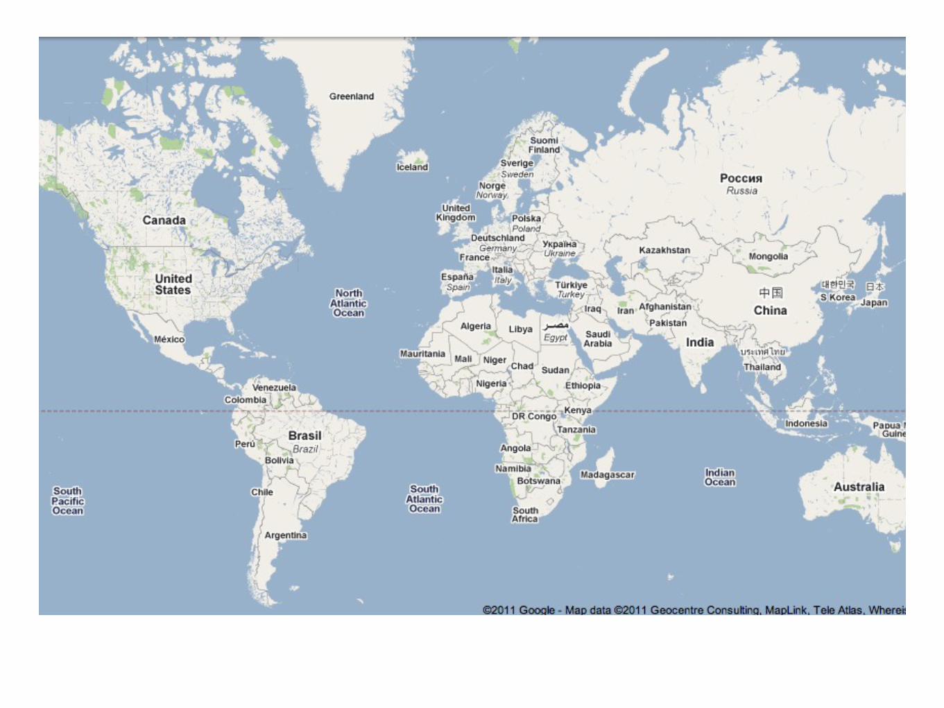
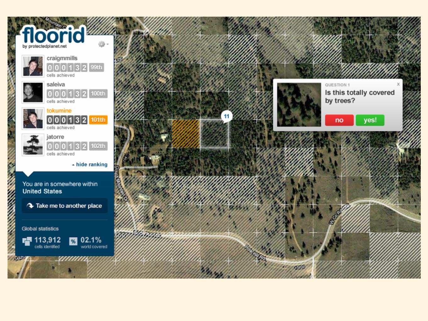
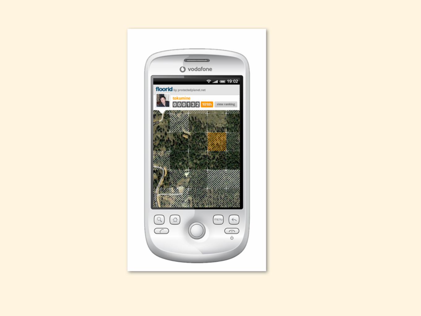
mapping national parksCraig Mills

united nations environment programme
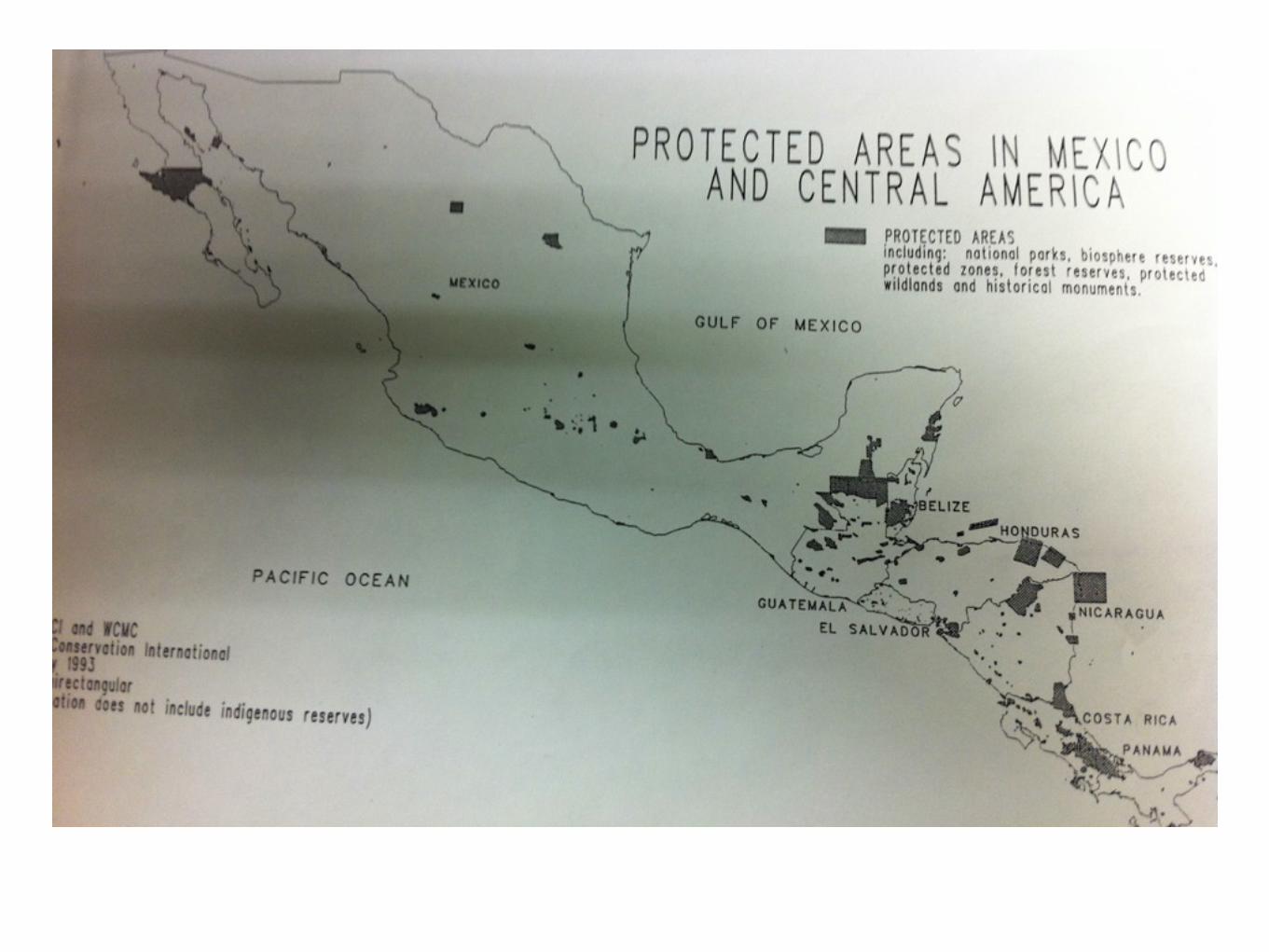
world conservation monitoring centre


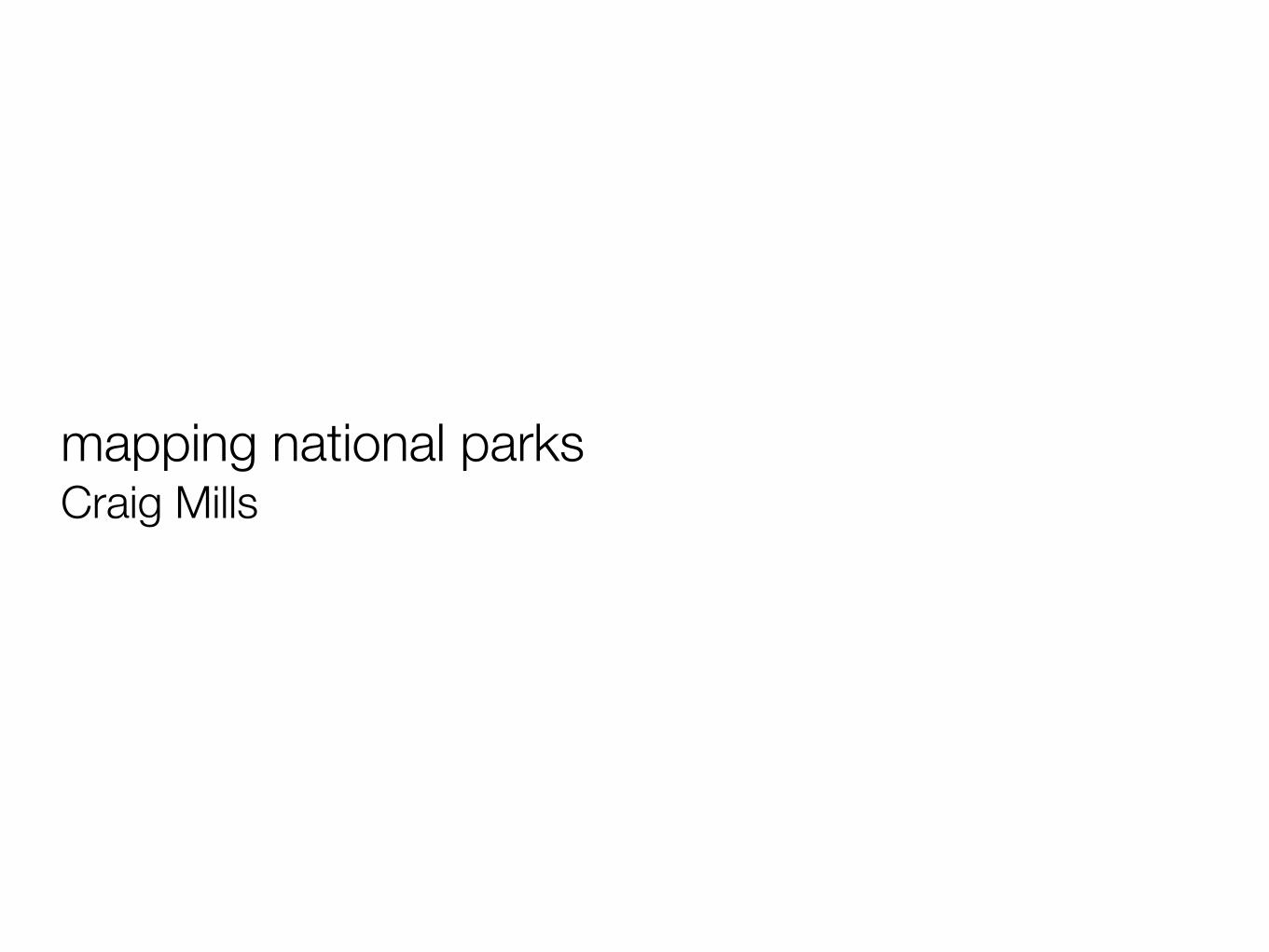
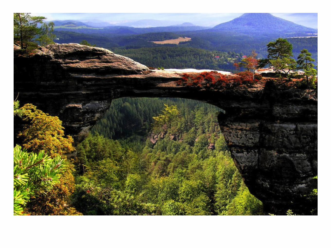
Nature


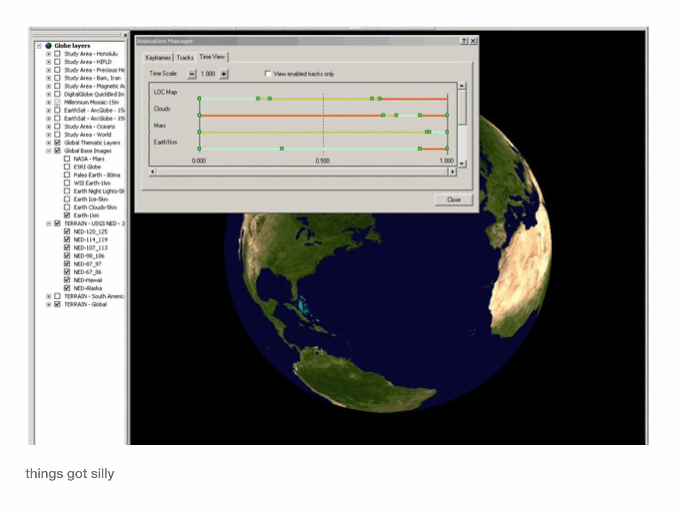
things got silly

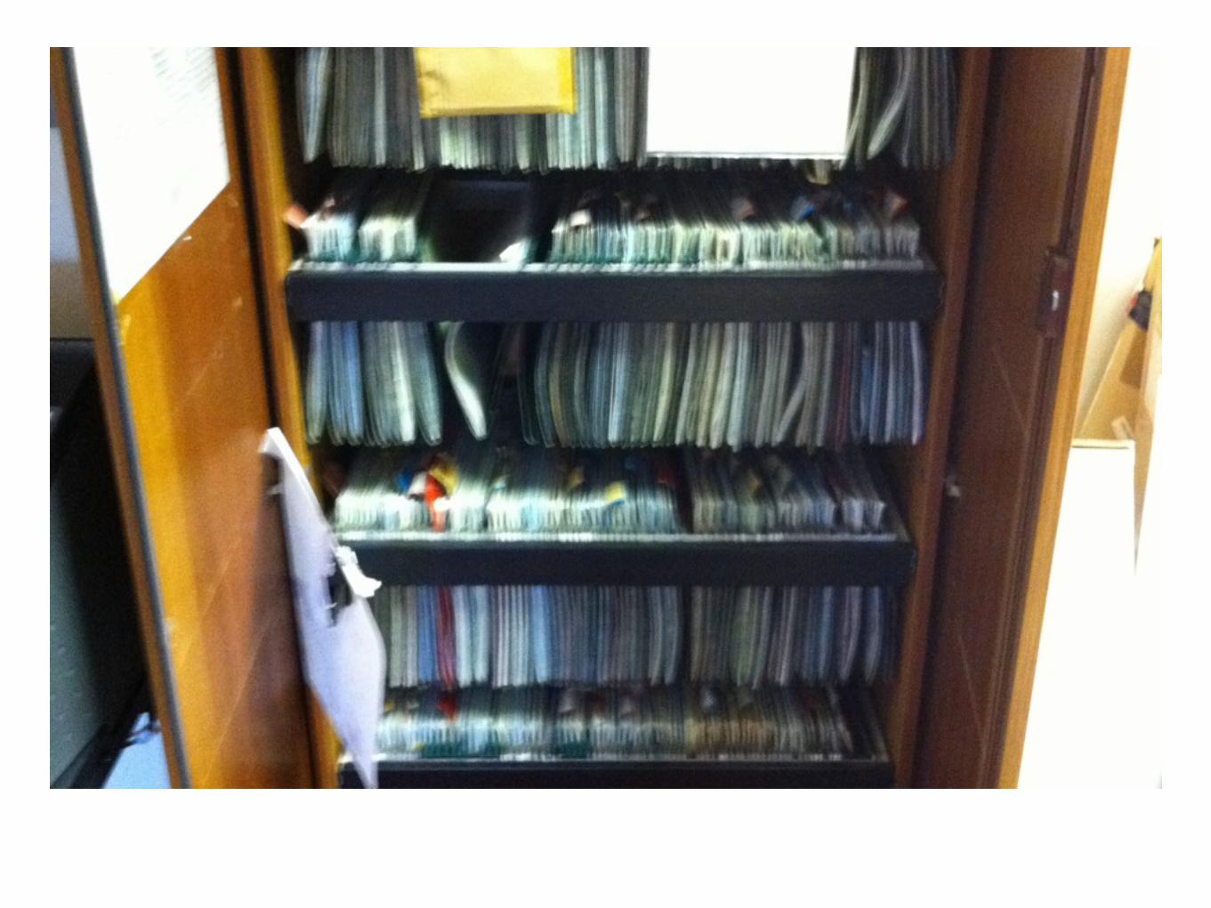
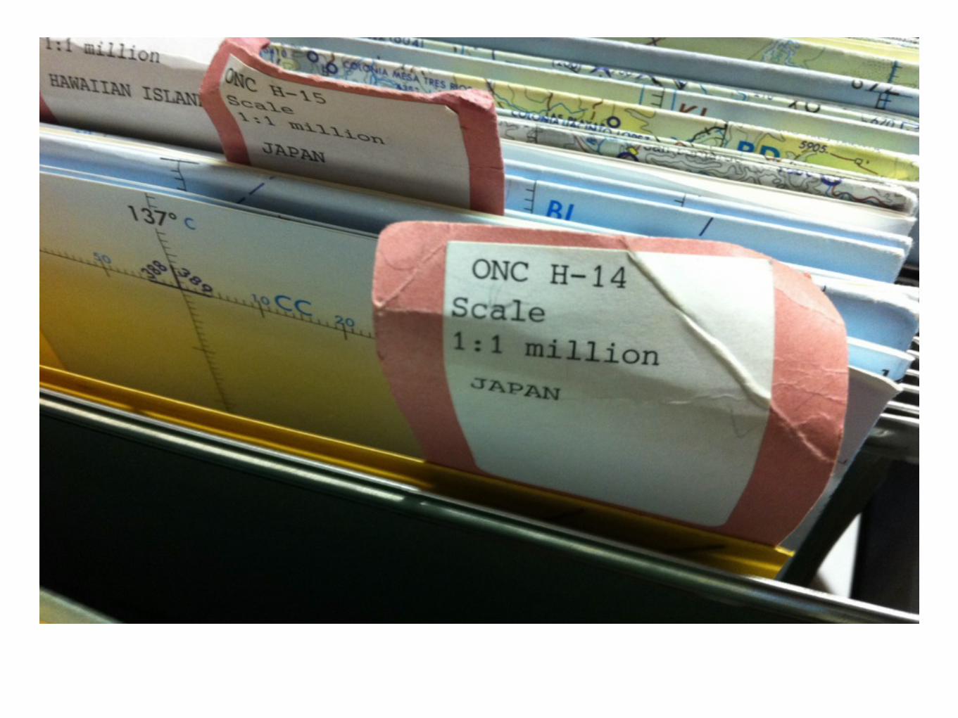
still wanted to draw polygons on maps
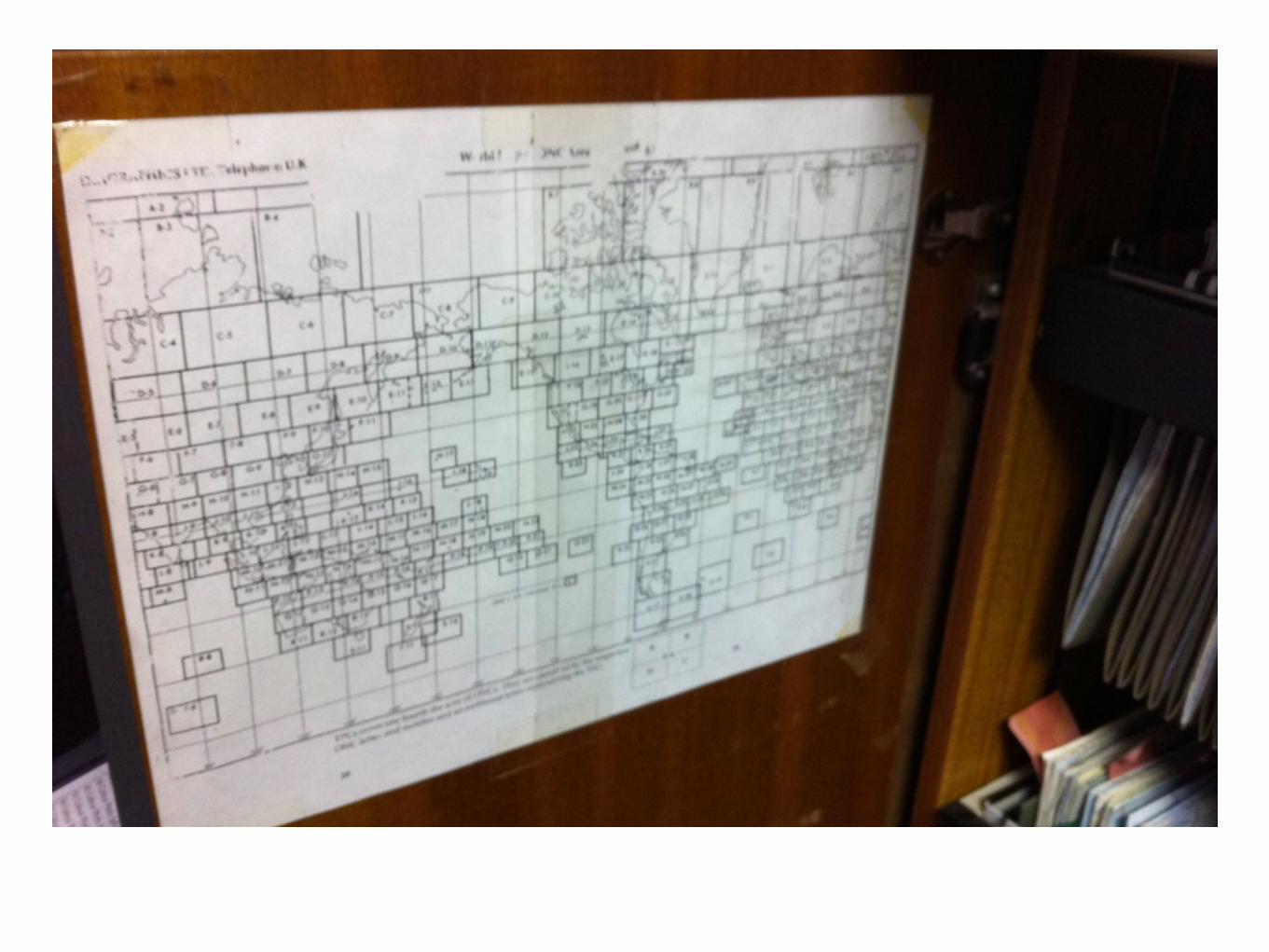
still want to let anyone explore(without owning the map cupboard)

and get people to contribute(without the exotic travel...)

Show it!

Why we did what we did

no 1 challenge
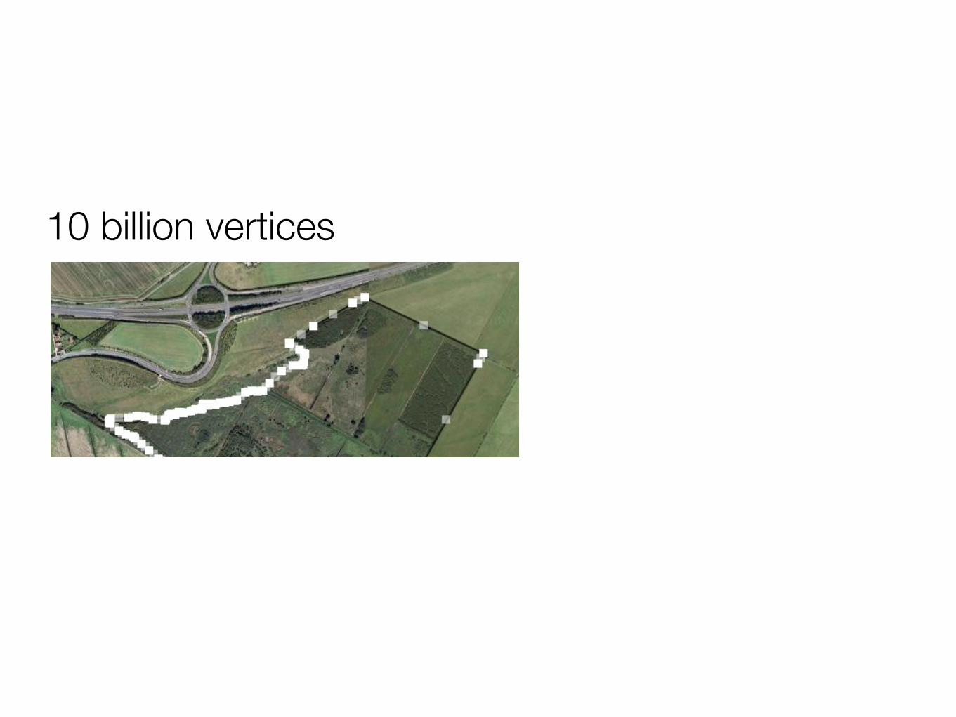
10 billion vertices

Postgresql (PostGIS)

Rails (limited AR)
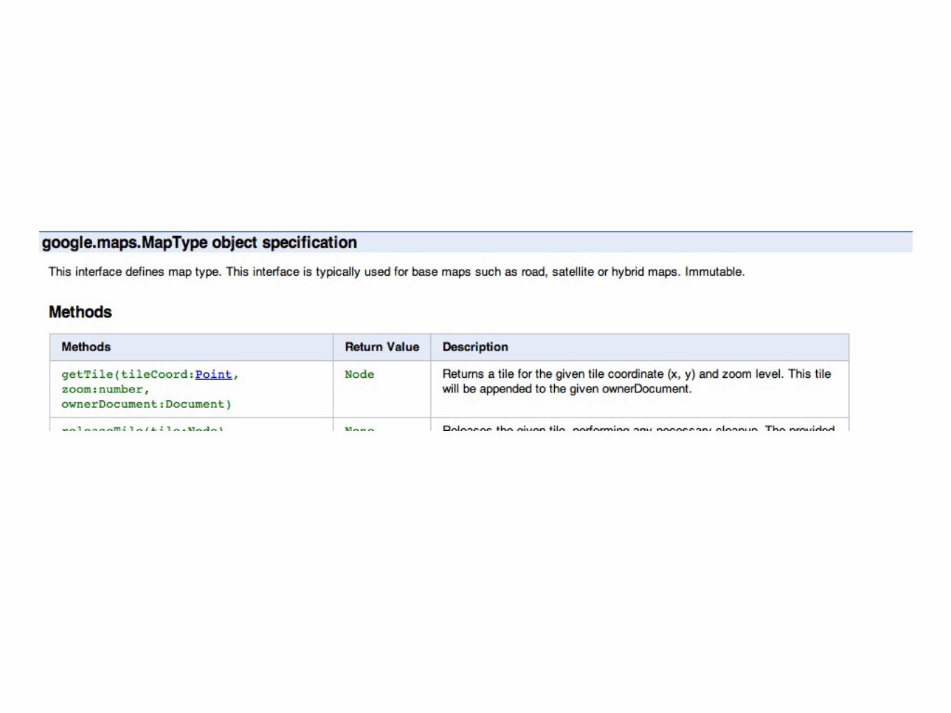
Geoserver (GeoWebCache)

(Thinking) Sphinx

Regrets?

Keep Rails

Lighter map tiler

Remove Sphinx

Was it successful?
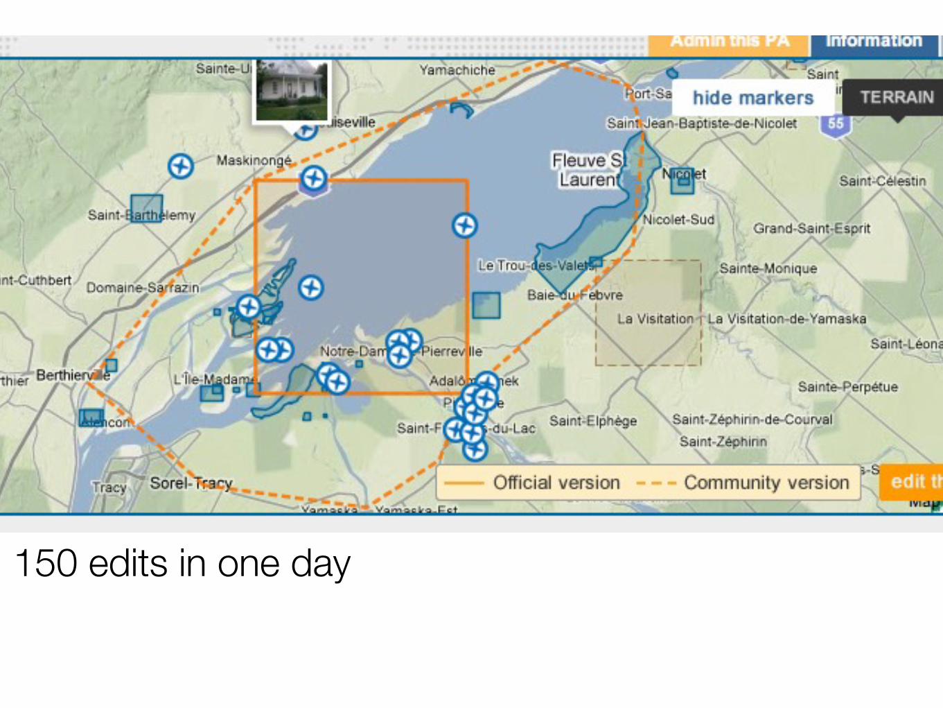
150 edits in one day


one more thing

we want developers to save the planet(not make balance sheets ;-) )
Recommended