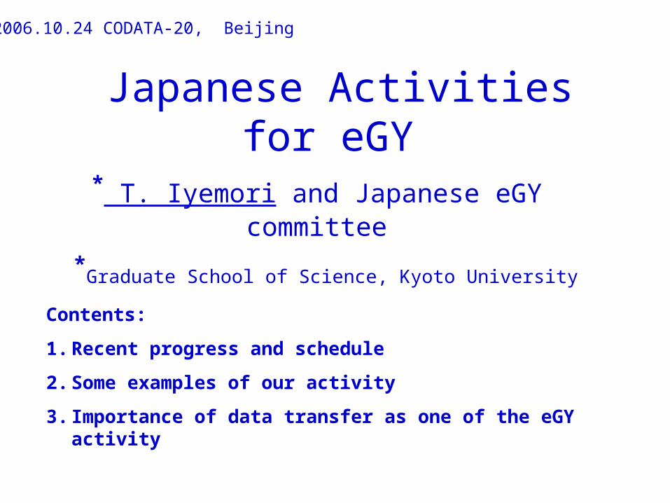
Japanese Activities for eGY
* T. Iyemori and Japanese eGY committee
*Graduate School of Science, Kyoto University
2006.10.24 CODATA-20, Beijing
Contents:
1. Recent progress and schedule
2. Some examples of our activity
3. Importance of data transfer as one of the eGY activity

eGY activity: Recent progress and schedule in Japan
2005.10 Japanese eGY committee was established
2006.01 Home Page for promotion of eGY in Japan
2006.07 Singapore AOGS eGY session
2006.10 Sub-committee for WDC and Sub-committee for IAGA were established under Science Council of Japan
2006.10 eGY related session at CODATA in Beijing
2006.11 Domestic small meetings in Tokyo and Kyoto
2007.05 Special session at Japanese Geoscience Union meeting with Japanese IHY and IPY committees
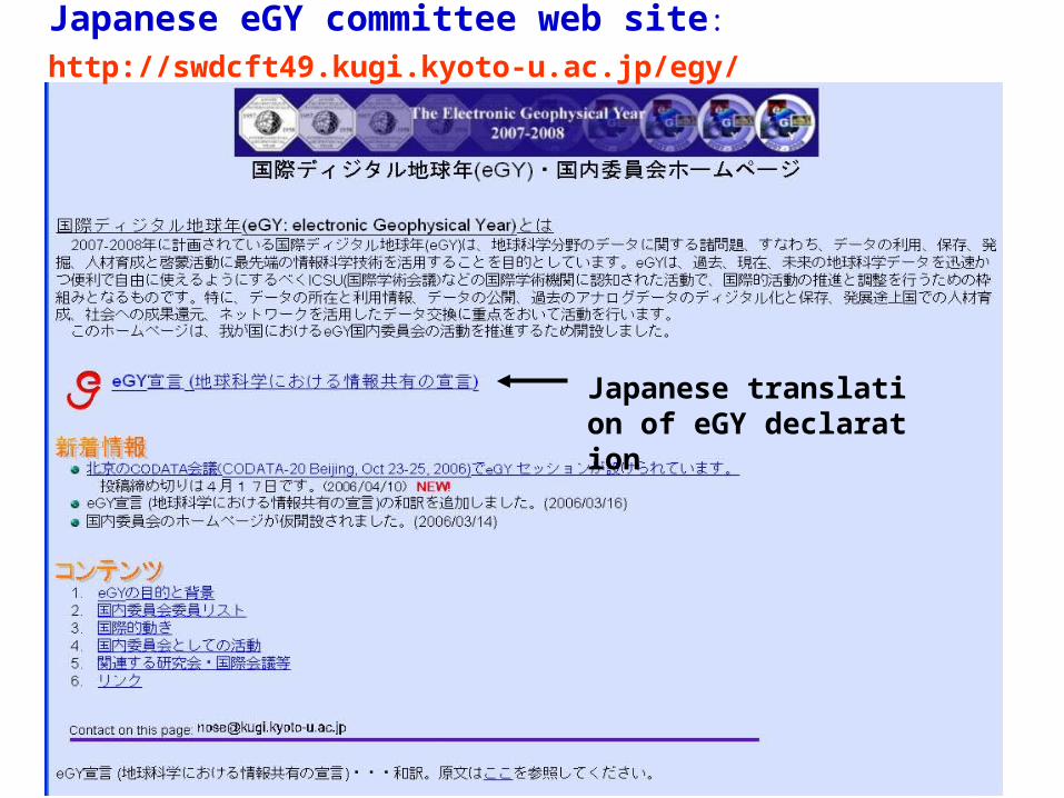
Japanese eGY committee web site:
http://swdcft49.kugi.kyoto-u.ac.jp/egy/
Japanese translation of eGY declaration


Research fields of 34 Japanese eGY committee members
Infomatics: 4
Space science: 17
Atmospheric science: 3
Oceanology: 3
Earthquake: 1
Geodecy: 1
Geomagnetism: 4
History of science: 1
* To promote interdisciplinary research, we need to add members from the fields other than space science
2. Japanese “data activities” in Earth sciences
-Operation of World Data Centers (8 small centers)
Airglow, Aurora, Cosmic Ray, Geomagnetism, Ionosphere, Nuclear Radiation, Solar Radio Emission, Space Science Satellites
-Database construction for International programs
(e.g. STEP: 1990-1997, SRAMP: 1998-2002, CAWSES: 2004-2008)
-Data centers at major institutions and their efforts:
(e.g., JAXA (DARTS), JAMSTEC (NINJA), etc. )
etc.
However, no major data center which covers multiple discipline exists in Japan ・・・・・
Some examples of recent Japanese data activities which would fit to eGY
“STARS” system by Murata et al. (Ehime Univ.)
(data display and analysis for space science with multiple data set from data centers and institutions)
“CAWSES Database” by Ogino et al. (Nagoya Univ.)
(database for SCOSTEP’s CAWSES program)
“JGN2”network by Watari et al. (NICT)
(High-speed network)
“Digital Typhoon” by A. Kitamoto (National Inst. Info.)
(Application of various information technology to typhoon database )

Activities at Kyoto Univ. which would fit to eGY
1. “Kyoto Univ. Active Geosphere Investigation” portal (Kyoto Univ. KAGI21COE program)
(To promote interdisciplinary research of KAGI group: http://kagi.coe21.kyoto-u.ac.jp/en/index.html)
2. “Geomagnetic Observatories” on GoogleEarth (WDC for Geomagnetism, Kyoto)
(Display of “real” geomagnetic observatories to see the data source (and people) behind the database: http://swdc
www.kugi.kyoto-u.ac.jp/wdc/obsdata.html)

Examples of KAGI portal contents
GPS TEC

Yellow dots indicate the location of geomagnetic observatories
Geomagnetic observatories on Google Earth:
Application of the Google Earth system
http://swdcwww.kugi.kyoto-u.ac.jp/wdc/obsdata.html

“Geomagnetic Observatories” on GoogleEarth
Location
Photos of Buildings & staffs and
URL of WWW
are shown for each observatory
Istanbul-Kandilli observatory in Turkey
URL
An example:

3. Importance of data transfer as one of the eGY activity
IGY (1957-58) = international collaboration, mainly in Earth observation
eGY (2007-2008) = application of advanced information technology to “IGY” type activities, in particular, to data handling.
Data handling :
1. Recording high resolution, high-time resolution, digital
2. Data transfer high-speed, real-time
3. Database construction large volume, user friendly
4. Dissemination free, easy access, inter-discipline (=VO)

High-speed, real-time data transfer and processing
Needs:
Space weather forcast real-time data for prediction
Handling of image files global observation from space
Multi-points observation to understand complex system
Examples of our recent efforts:
Near-real-time data transfer from arctic region
(for Auroral Electrojet index, AE) US-Russia-Japan collaboration
Use of new commercial service in Thailand (with Chulalongkorn Univ.)
(Data transfer with IP-STAR from un-manned station)

Near-real time AE indices with 1 hour delay
(This plot was taken at 00:30UT)
Distribution of the AE observatories
Necessity of real-time data for Space Weather forcast

Too slow! (<300bps) and limited to JMA related service
For near real-time AE and Dst indices
Use of commercial communication satellite is expensive
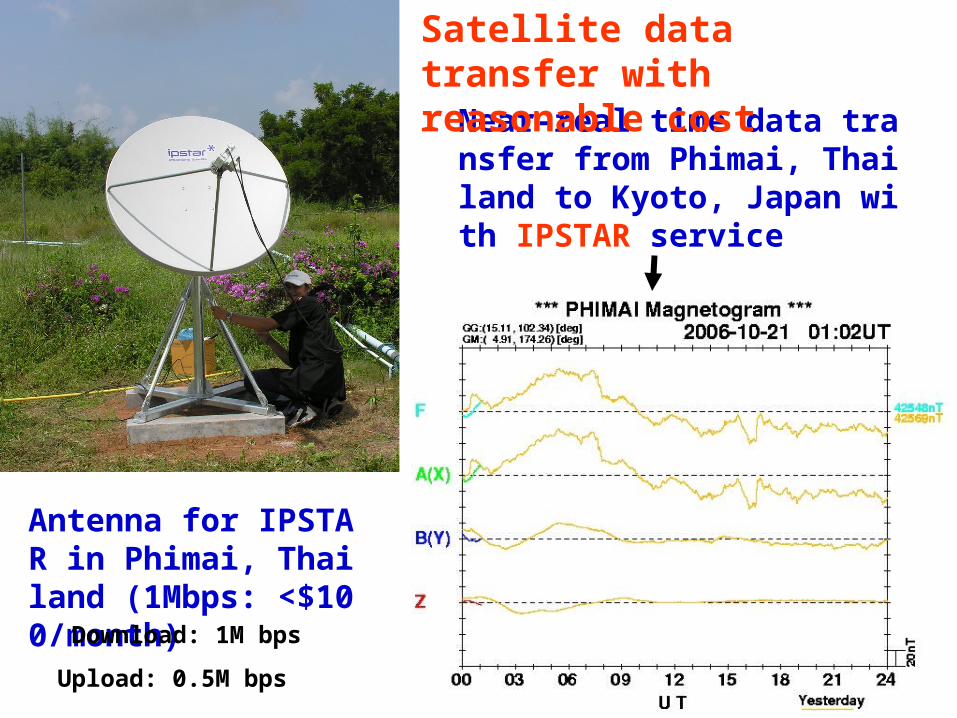
Near-real time data transfer from Phimai, Thailand to Kyoto, Japan with IPSTAR service
Antenna for IPSTAR in Phimai, Thailand (1Mbps: <$100/month)
Satellite data transfer with reasonable cost
Download: 1M bps
Upload: 0.5M bps

What we should (can) do to improve data transfer?
•Survey of public necessity of real-time, high-speed data transfer including outreach activity
• Collaboration with other IGY+50 activities (IHY, IPY etc.)
•Use of commercial satellite service with low-cost
(or write proposal of data transfer satellite for geosciences?)

SUMMARY
1. Japanese eGY activity has been commenced.
2. Some of their activity fit to eGY and should be promoted.
3. Promotion of inter-disciplinary research including interaction among researchers (and data supplyers) are important.
4. Improvement of data transfer is one of the main themes in eGY
Recommended