Google Earth and Discrete Maths
• These slides contain some images from Google Earth that you can use to motivate discussions and set problems in the classroom.
• The emphasis is on topics in discrete maths.
• Images are for classroom-based educational use only.
Stuart Price 2009

Bin Packing Problems
• Images of the Wightlink and Brittany Ferries terminals in Portsmouth.

Wightlink Terminal

Wightlink Loading Queues

Brittany Ferries

Traversing a Graph
• These images are for the classic “Bridges of Königsberg” problem.
• The area is now known as Kaliningrad.
• The current bridges are different from the original ones but the topology of the problem has not changed.
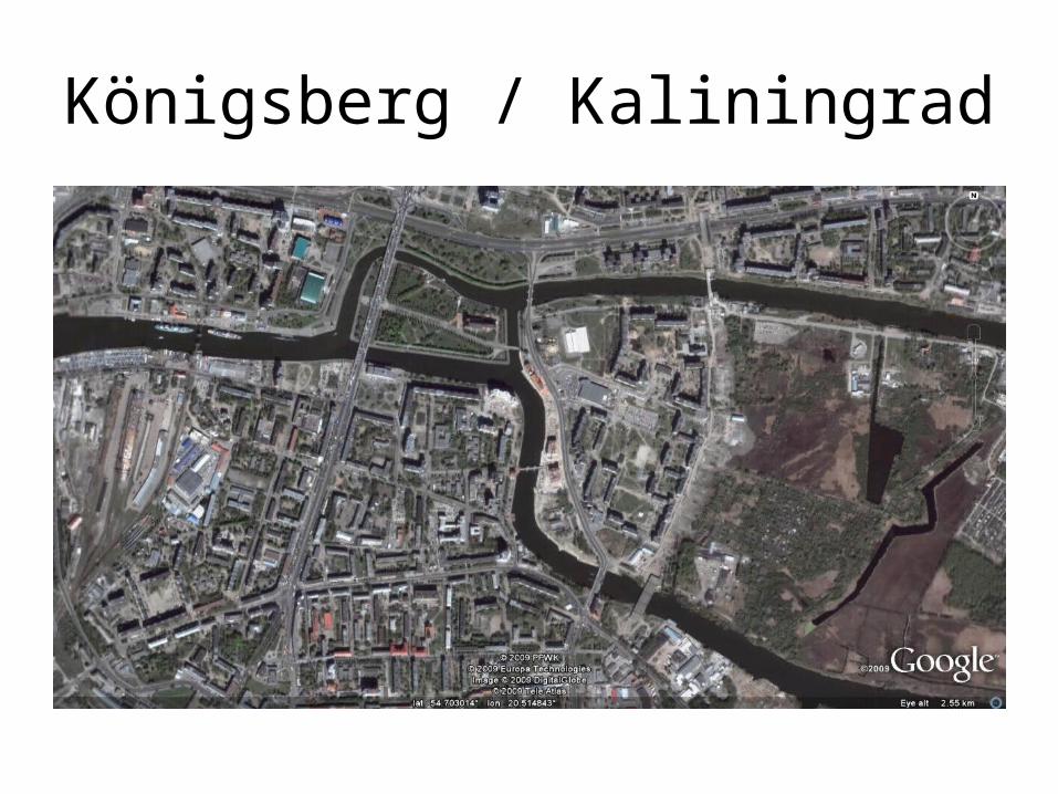
Königsberg / Kaliningrad

Land Outlines

The 7 Bridges Problem

An 8th bridge

“Kneiphof Island”
• The smaller island is historically interesting.
• It is home to Königsberg Cathedral and is the burial place of Immanuel Kant. (Wikipedia)
• Compare the parks and cathedral with the motorway passing through!
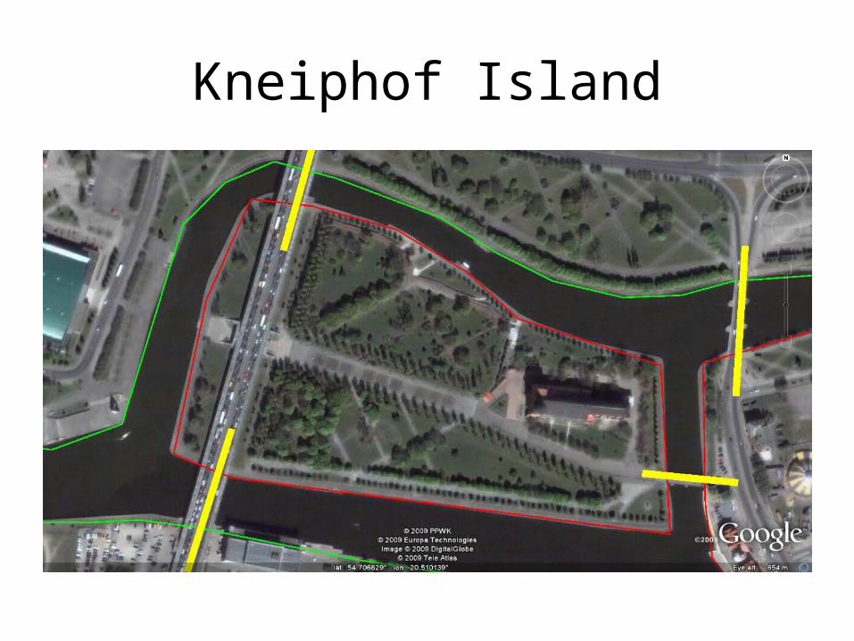
Kneiphof Island

Barcelona
• Much can be discussed about the city of Barcelona.
• The more modern parts of the city can be clearly distinguished by the “blocks” style layout.
• In fact the blocks have ‘shaved’ corners (so they are actually octagonal) to ease traffic flow. Most are 1 way streets.

City Overview

Parallel and Meridian Streets…
In Catalan, the streets’ names are “Avinguda del Paral·lel” and “Avinguda Meridiana”

..run with latitude and longitude

Eixample Esquerra
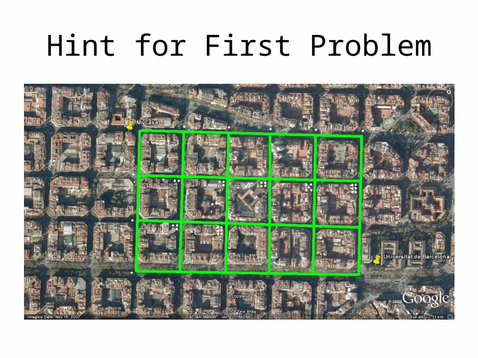
• The Eixample* is home to my “how many ways can I get to university?” problem.
• My house and the university are highlighted on the next slide.
• Streets are then highlighted.
• An extension includes narrower, additional ways.
*Pronounced along the lines of “I-sharmpler”

The Eixample District
Maps of Barcelona are printed with this orientation. North is no longer “up” the page!

How Many Different Routes?

Extension: Now how many routes?
Hint for First Problem
Recommended