Coastal Regional Sediment Management PlanPublic Outreach and Plan Formulation
GIS WebMapperJohn Dingler- USACE
Tuesday, October 4, 2016Elihu M. Harris State Office Building, Oakland, CA
1
2
3
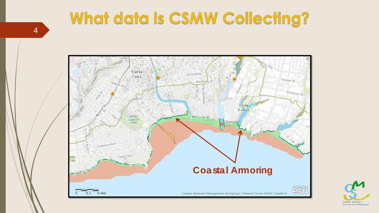
Coastal Armoring
4
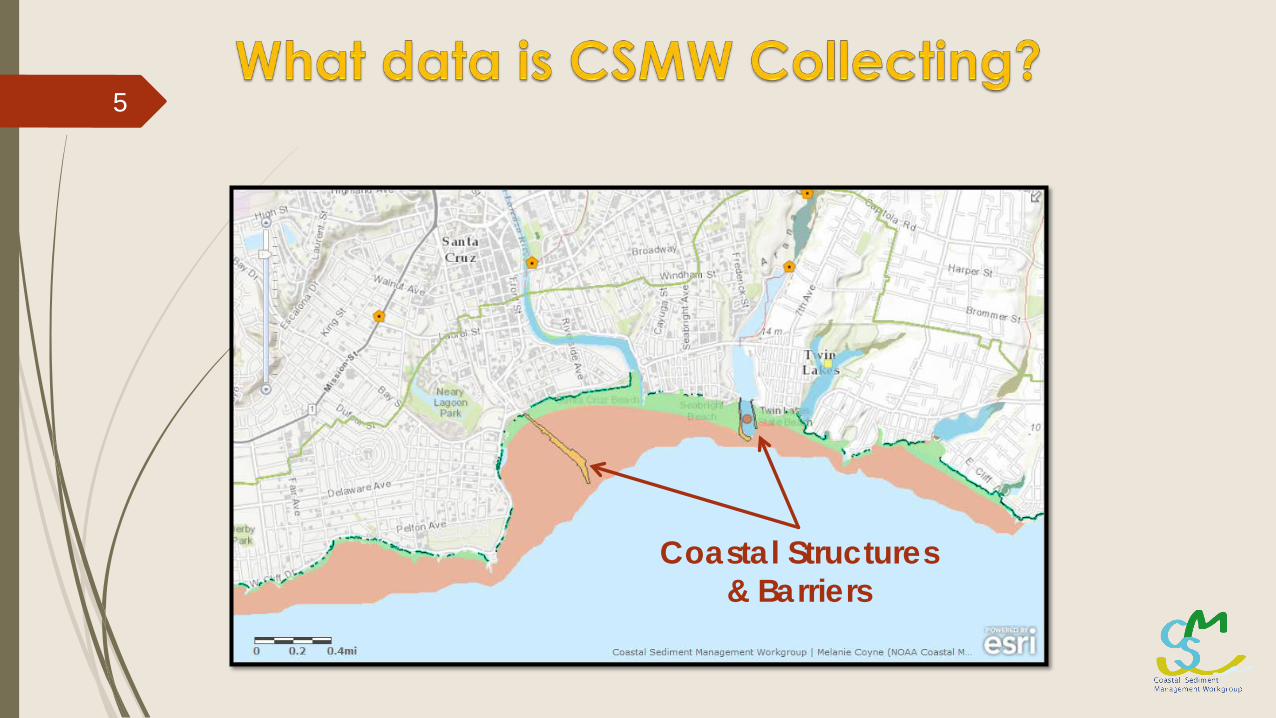
Coastal Structures & Barriers
5
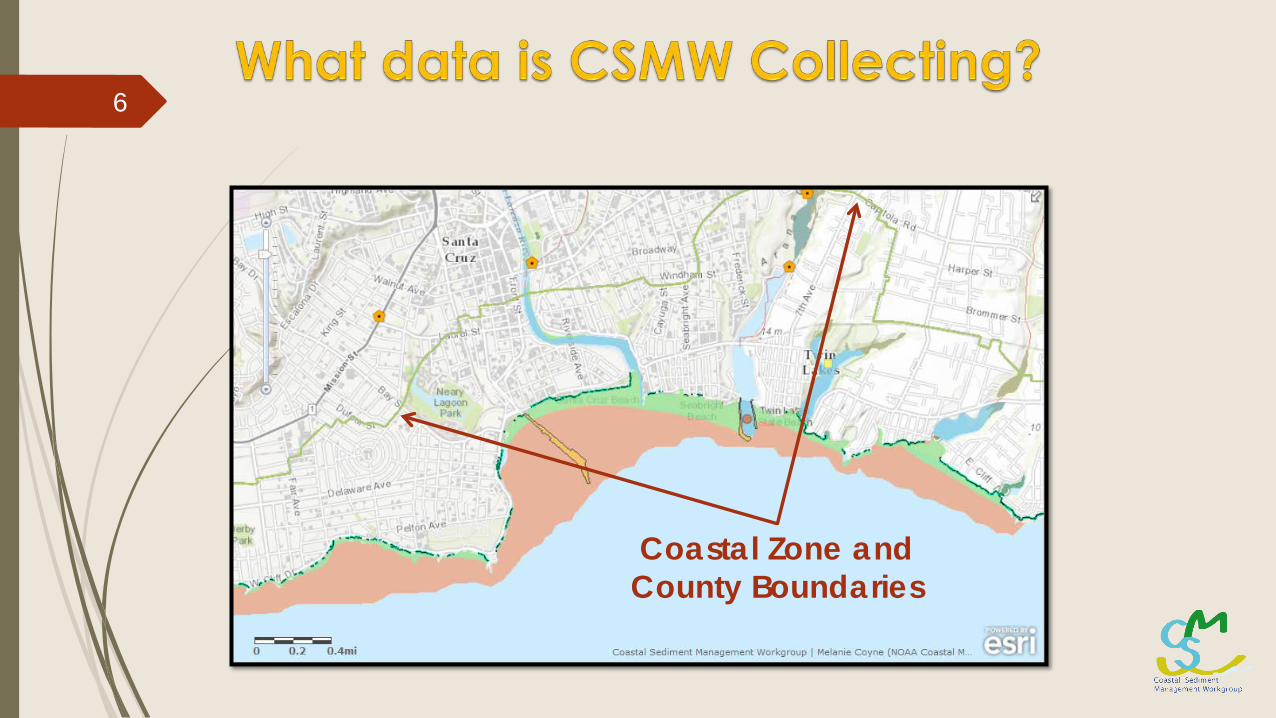
Coastal Zone and County Boundaries
6

Sensitive Habitat
7
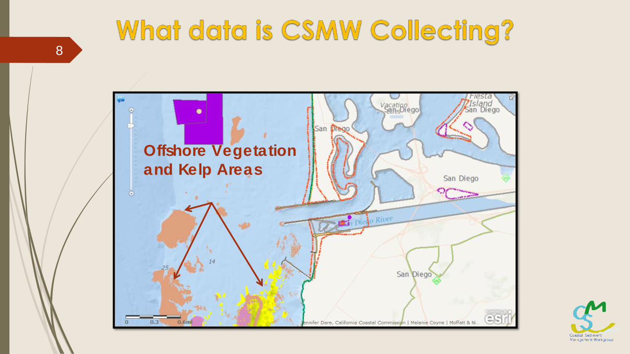
Offshore Vegetation and Kelp Areas
8

Beach Nourishment History
9
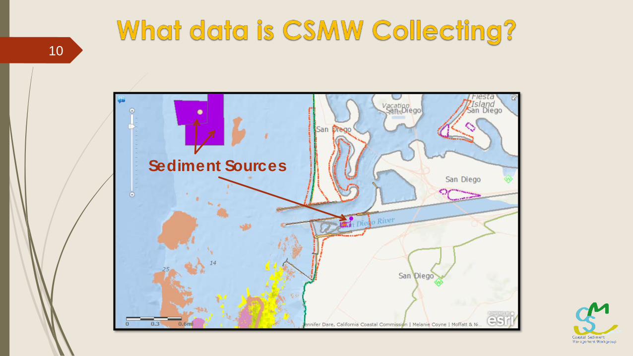
Sediment Sources
10

Navigation Channels
11
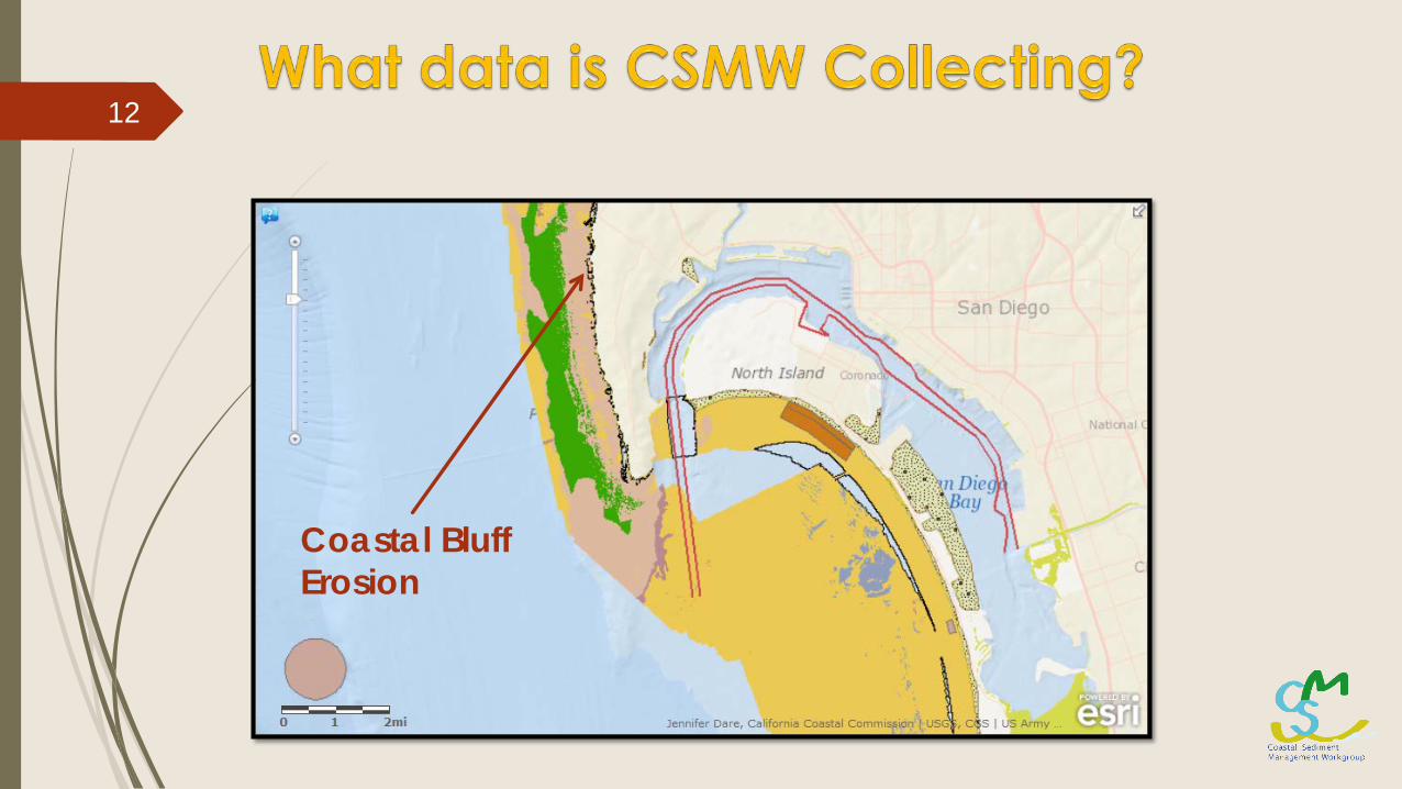
Coastal Bluff Erosion
12
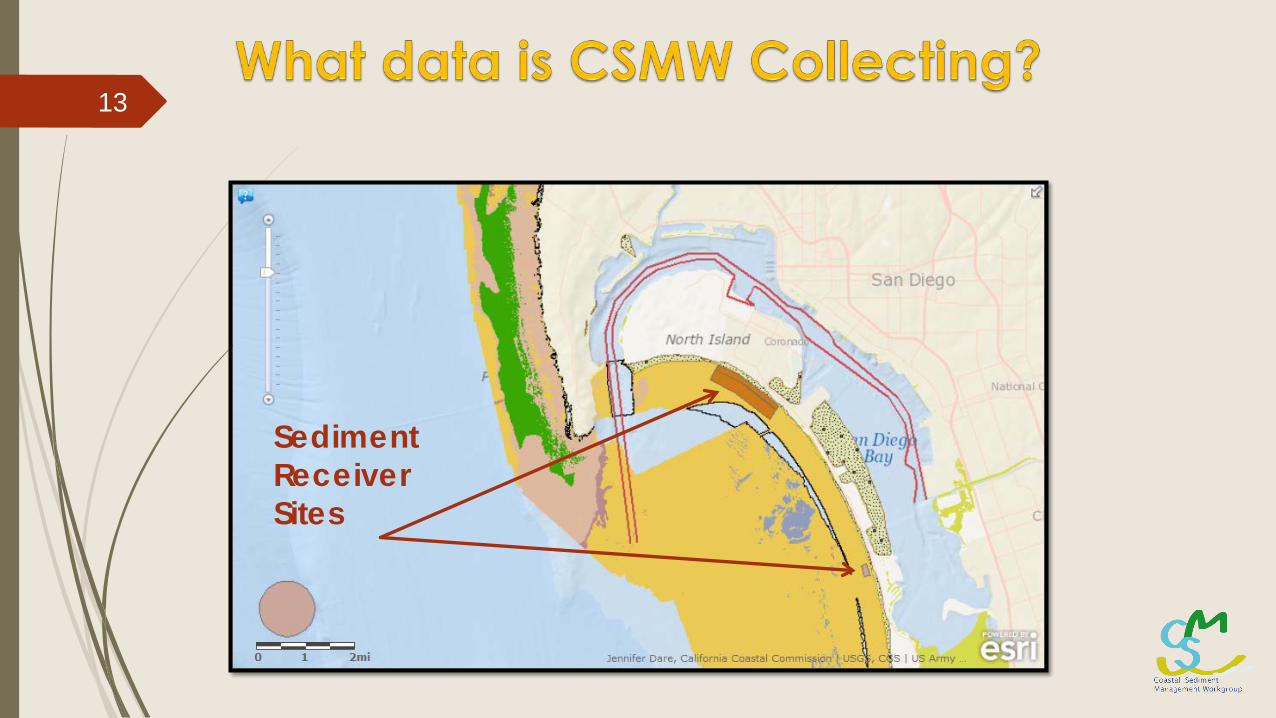
Sediment Receiver Sites
13
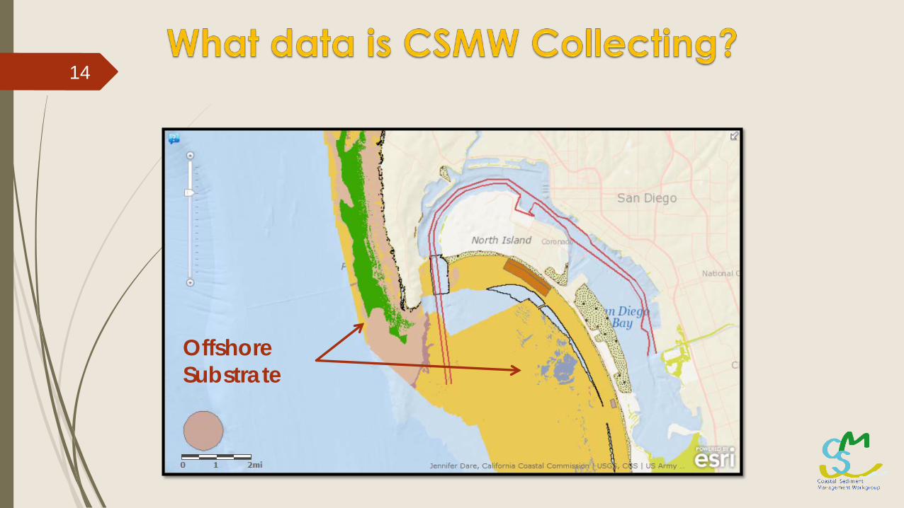
Offshore Substrate
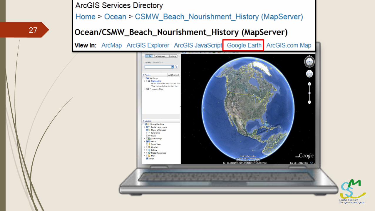
14
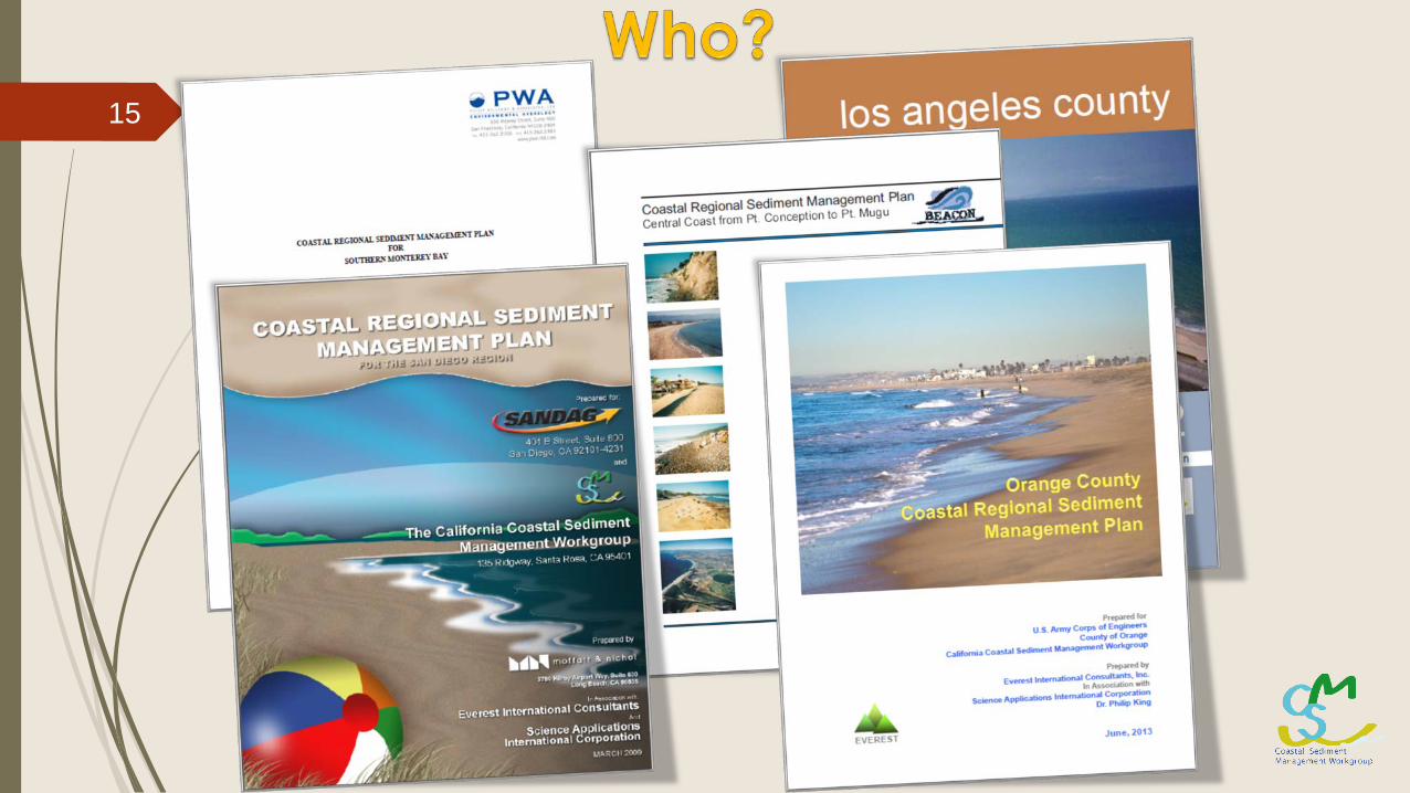
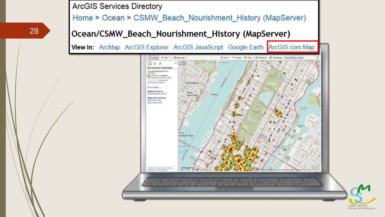
15
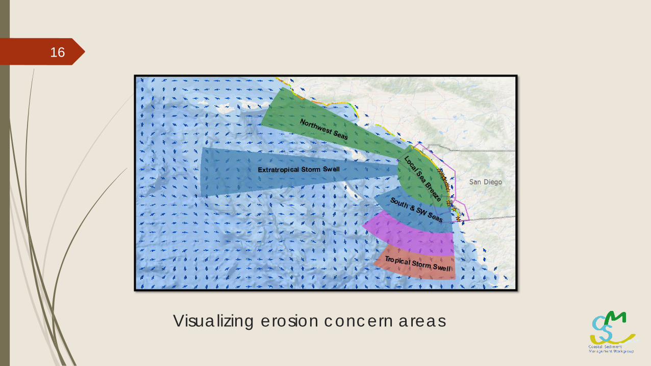
Visualizing erosion concern areas
16
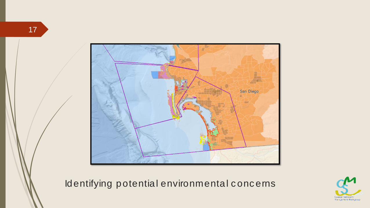
Identifying potential environmental concerns
17
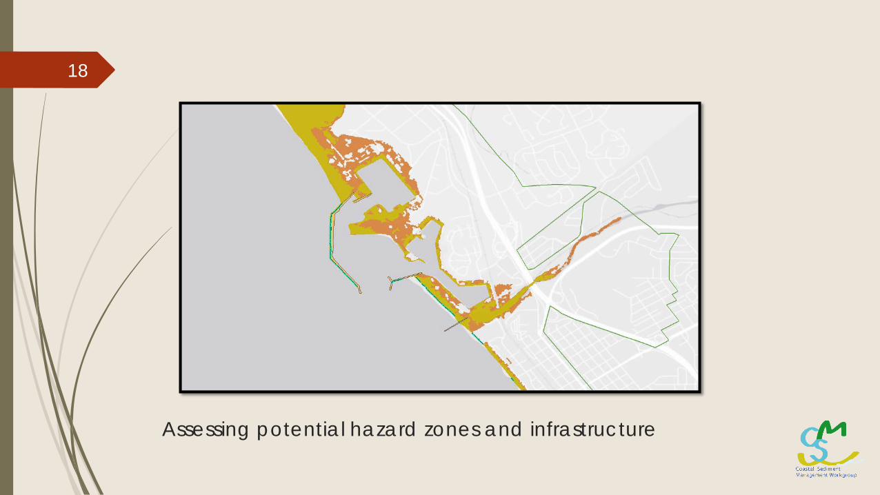
Assessing potential hazard zones and infrastructure
18
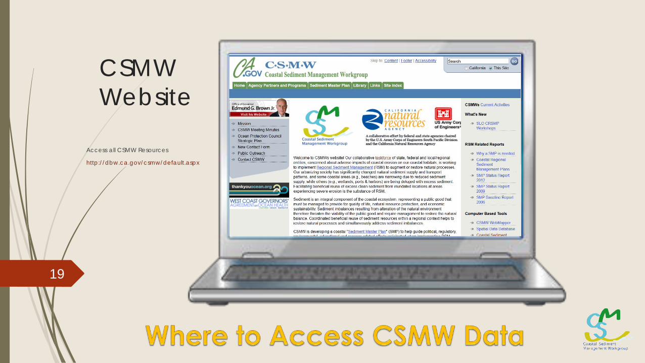
CSMW Website
Access all CSMW Resources
http://dbw.ca.gov/csmw/default.aspx
19
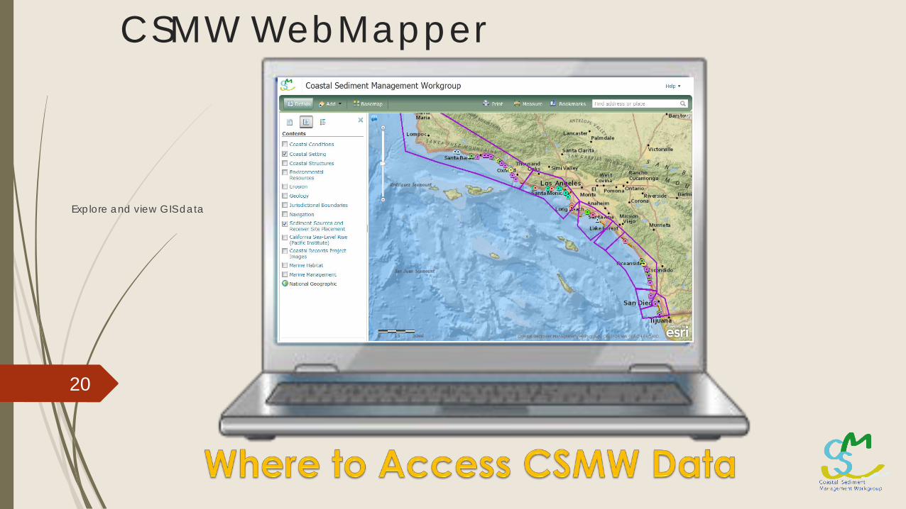
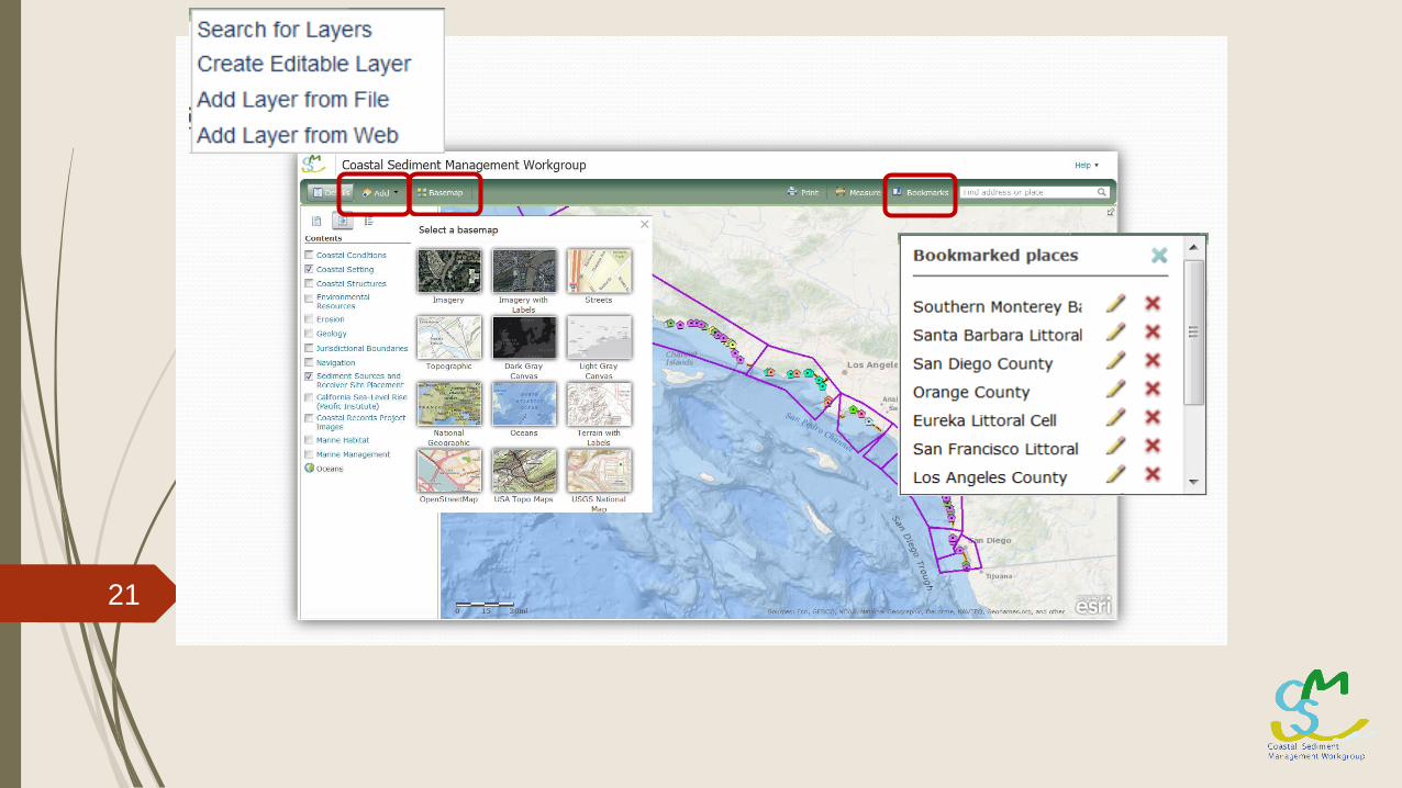
CSMW WebMapper
Explore and view GIS data
20
21
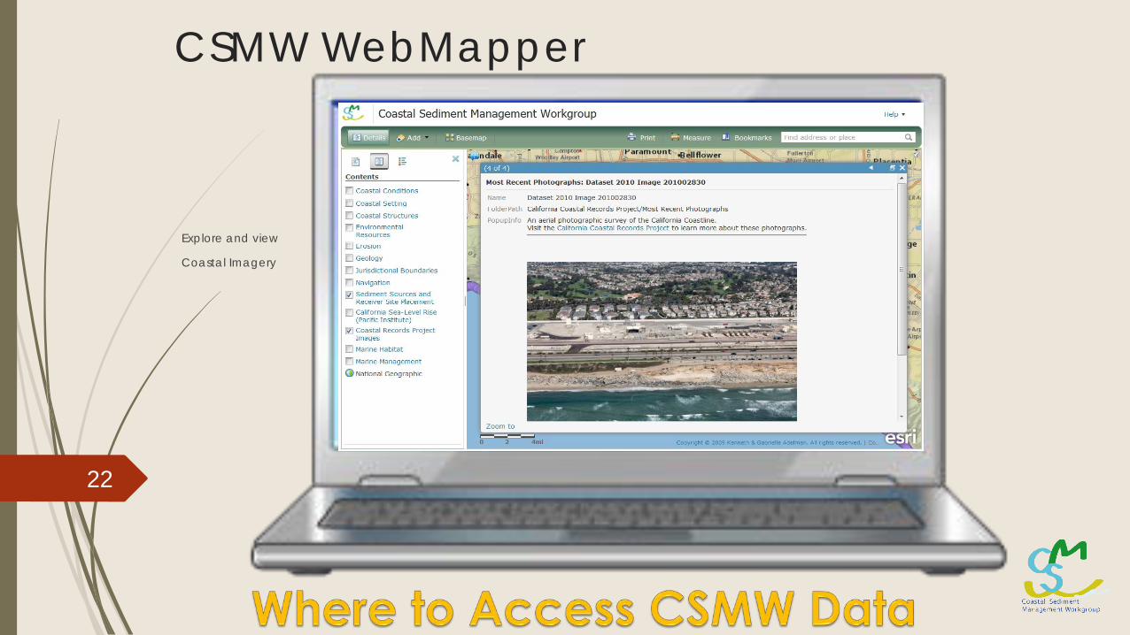
CSMW WebMapper
Explore and view
Coastal Imagery
22
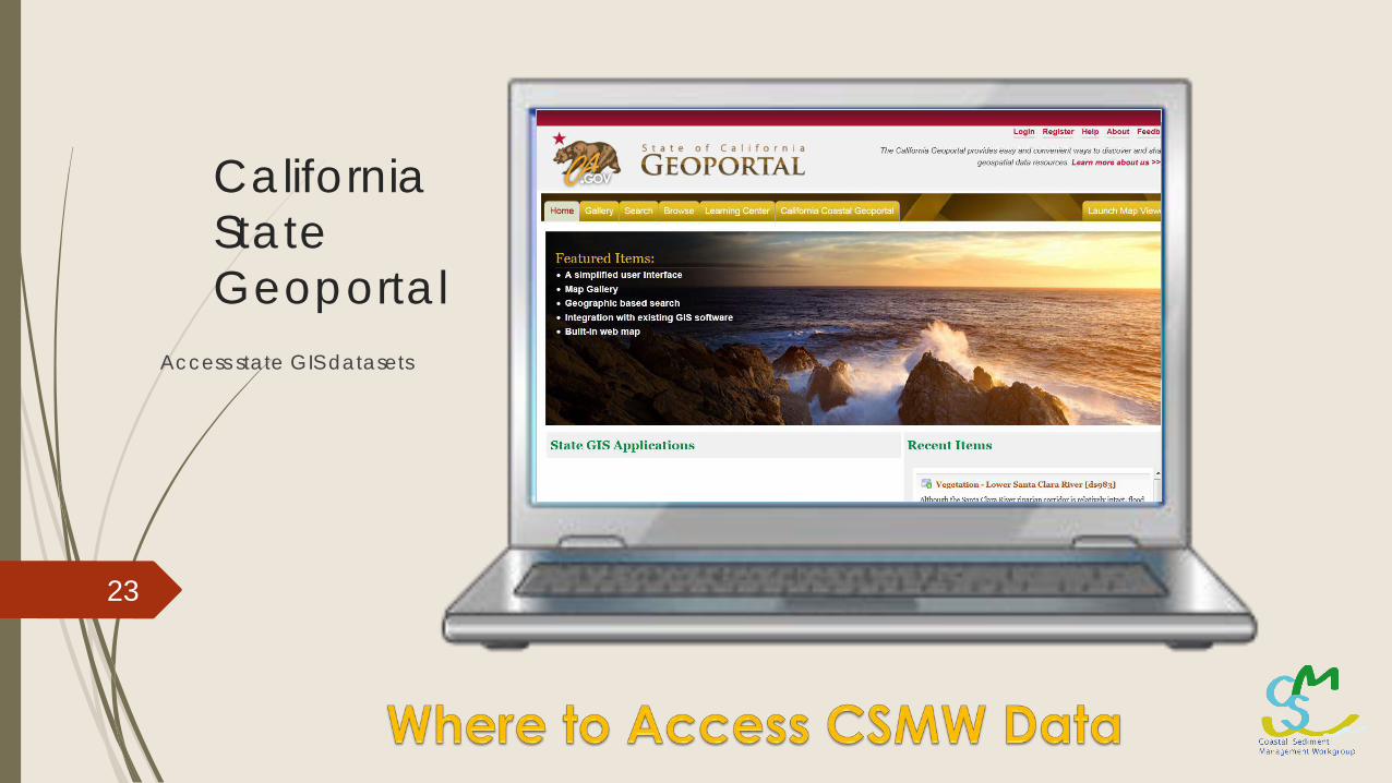
California State Geoportal
Access state GIS datasets
23
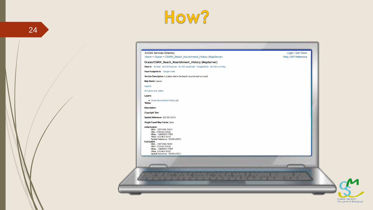
24
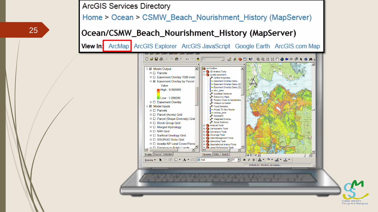
25
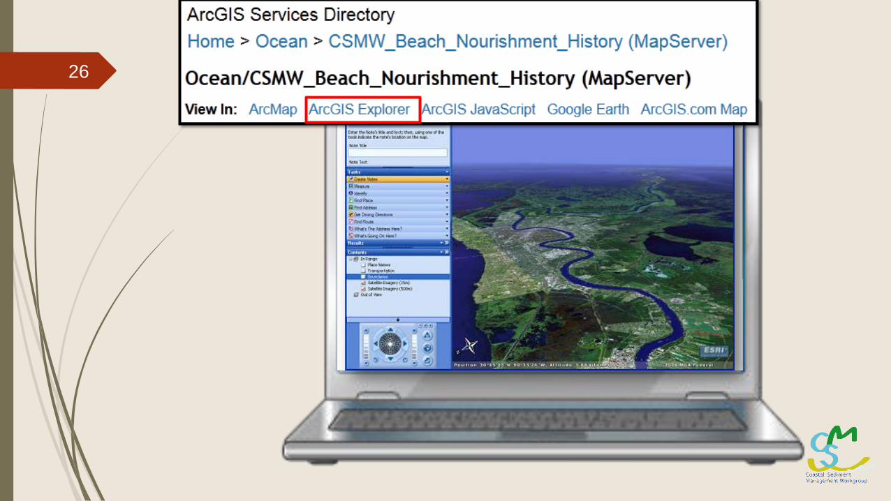
26
27
28
Thank You!
For CSMW GIS Inquires:Matt Davis
Los Angeles District (SPL)US Army Corps of Engineers
29
Recommended