Development and Test of a
Towed Hydrographic Survey Platform for Compact MBES Deployment
UTS San Diego 2015
Mathieu Rondeau (CIDCO)
Chaire CRSNG-UQAR en génie de la conception
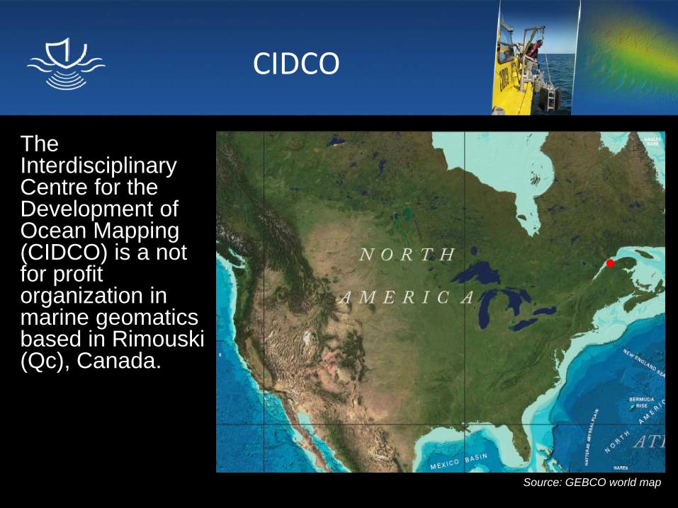
CIDCO
The Interdisciplinary Centre for the Development of Ocean Mapping (CIDCO) is a not for profit organization in marine geomatics based in Rimouski (Qc), Canada.
Source: GEBCO world map
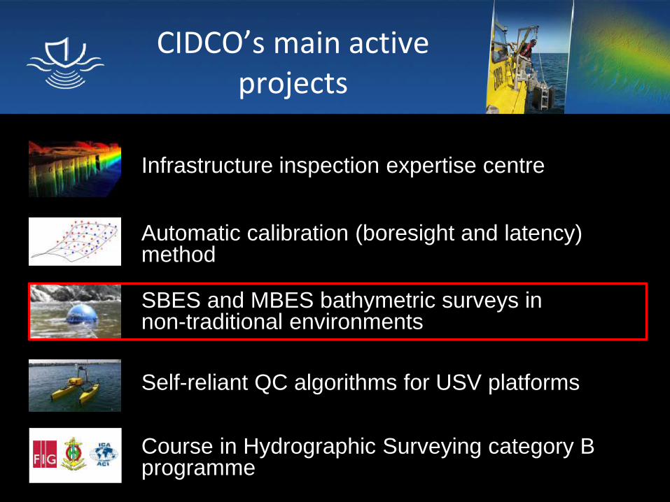
CIDCO’s main active projects
Infrastructure inspection expertise centre
SBES and MBES bathymetric surveys in non-traditional environments
Automatic calibration (boresight and latency) method
Self-reliant QC algorithms for USV platforms
Course in Hydrographic Surveying category B programme
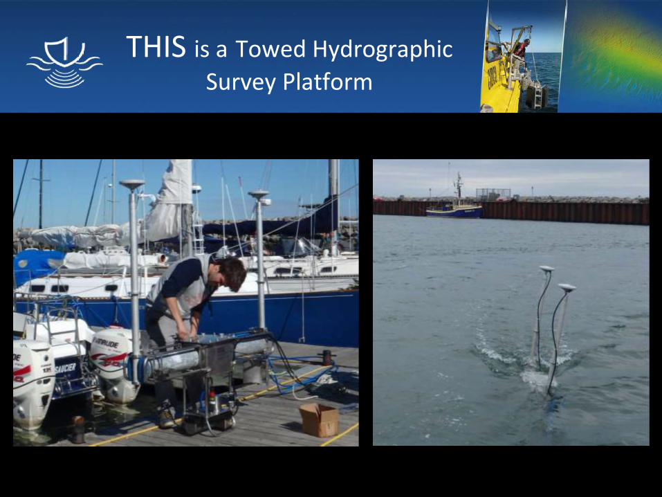
THIS is a Towed Hydrographic
Survey Platform
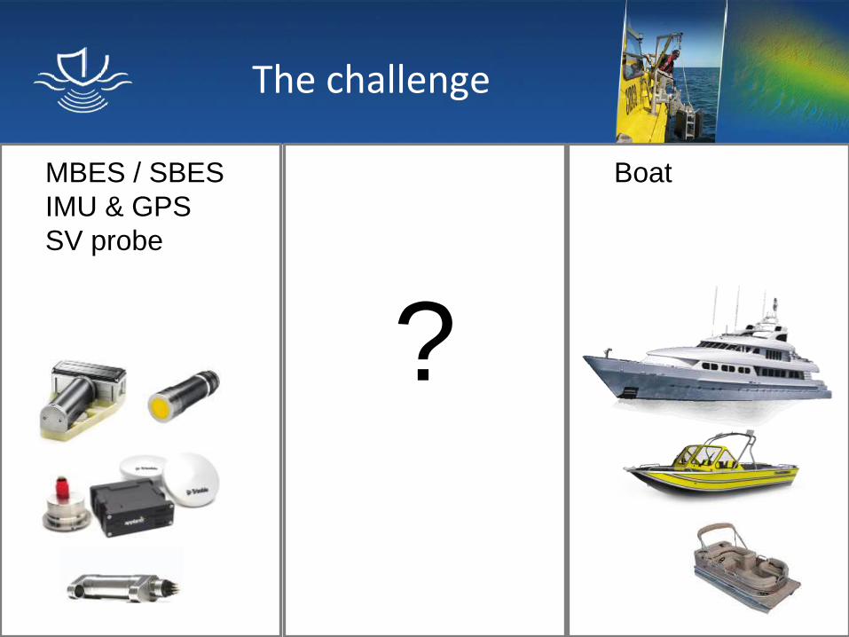
The challenge
MBES / SBES
IMU & GPS
SV probe
?
Boat
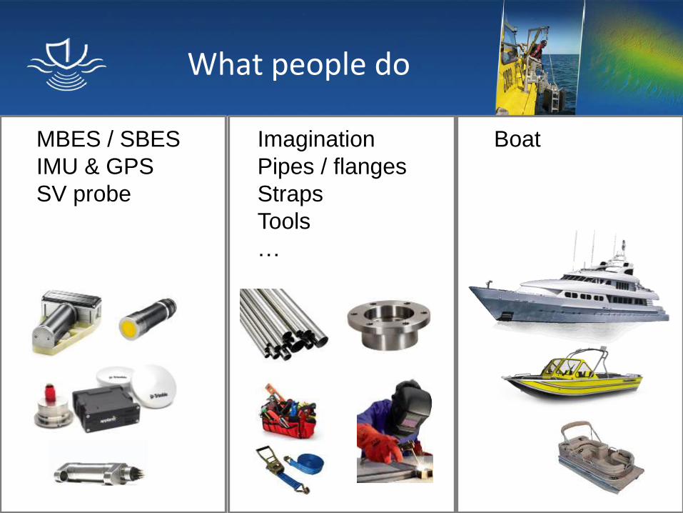
What people do
MBES / SBES
IMU & GPS
SV probe
Imagination
Pipes / flanges
Straps
Tools
…
Boat
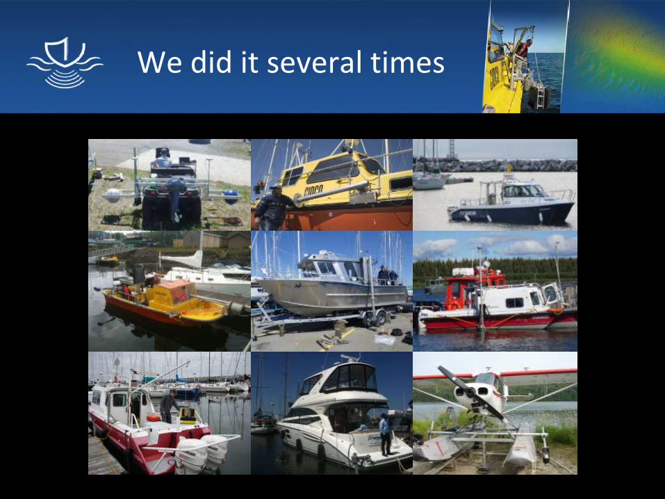
We did it several times
We did it several times
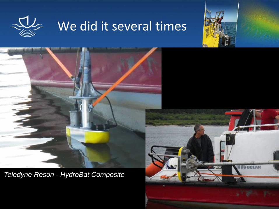
Teledyne Reson - HydroBat Composite
We did it several times
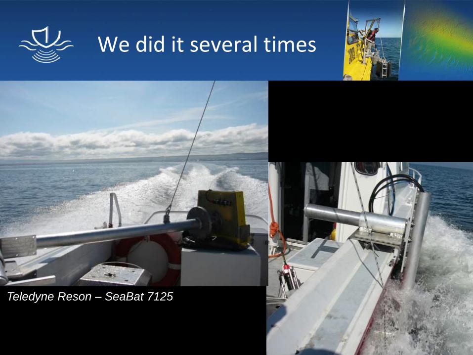
Teledyne Reson – SeaBat 7125
We did it several times
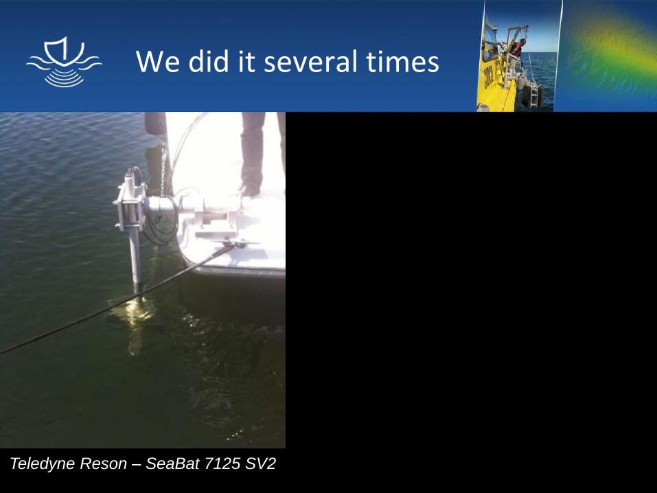
Teledyne Reson – SeaBat 7125 SV2
We did it several times
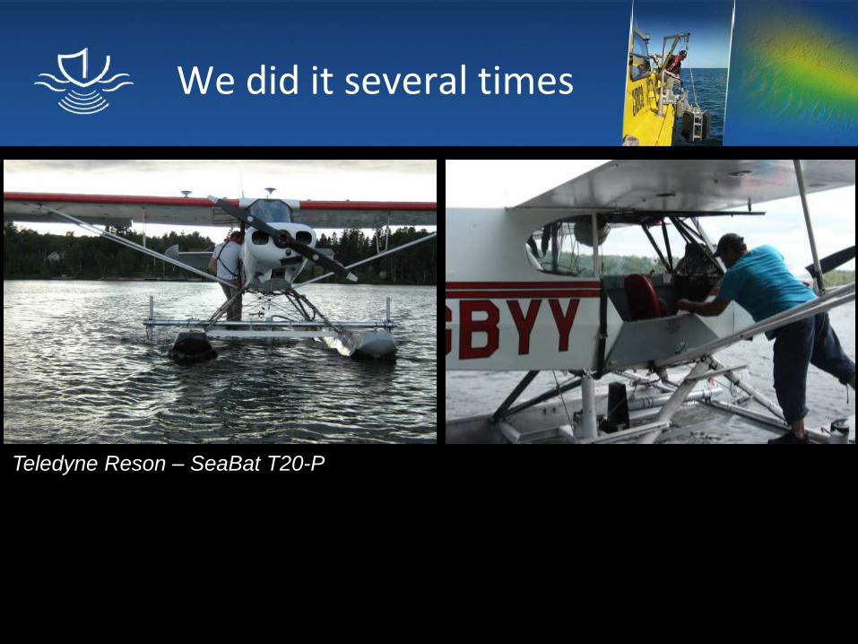
Teledyne Reson – SeaBat T20-P
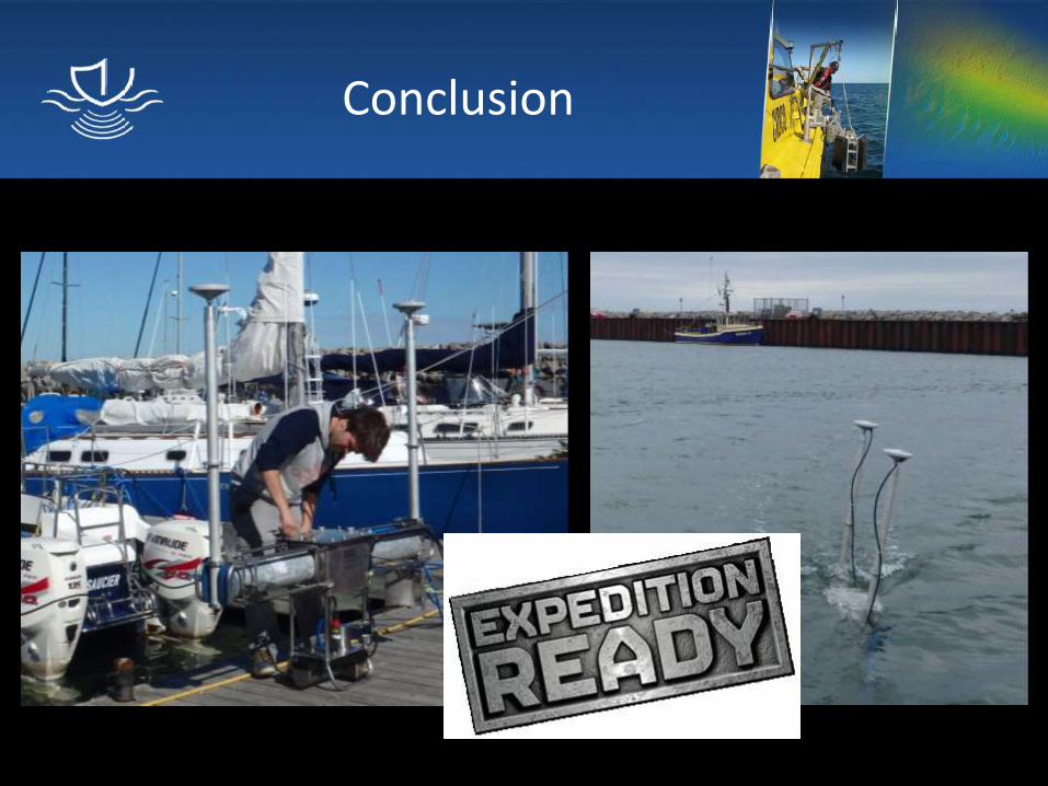
Conclusion
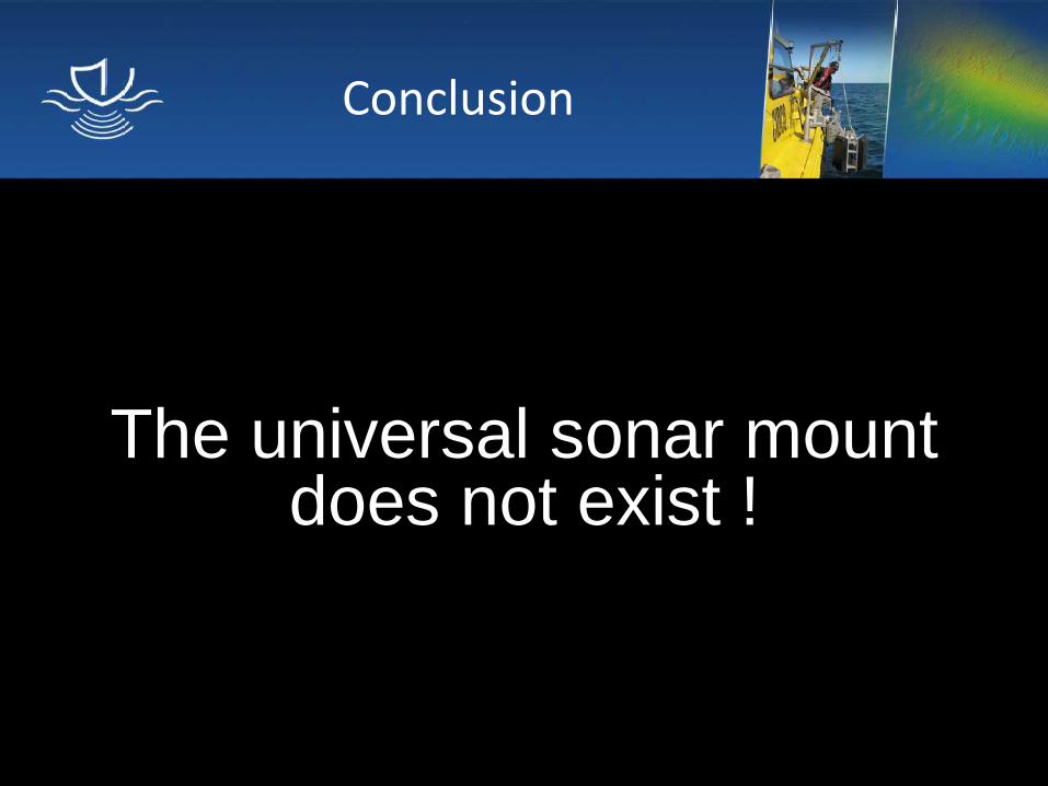
The universal sonar mount does not exist !
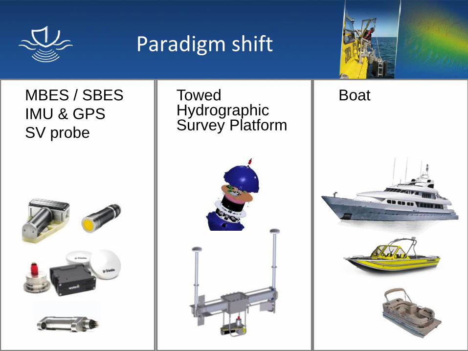
Paradigm shift
MBES / SBES
IMU & GPS
SV probe
Boat
Towed Hydrographic Survey Platform
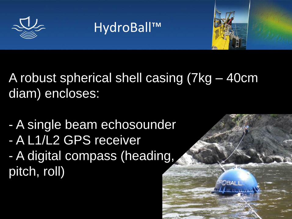
HydroBall™
A robust spherical shell casing (7kg – 40cm
diam) encloses:
- A single beam echosounder
- A L1/L2 GPS receiver
- A digital compass (heading,
pitch, roll)
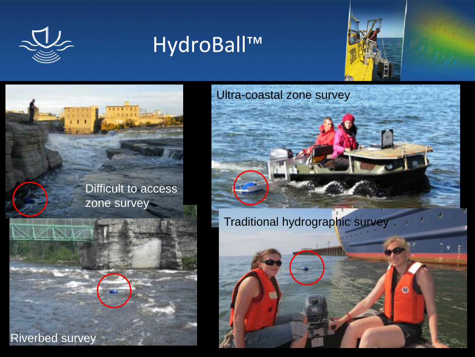
HydroBall™
Riverbed survey
Traditional hydrographic survey
Difficult to access
zone survey
Ultra-coastal zone survey
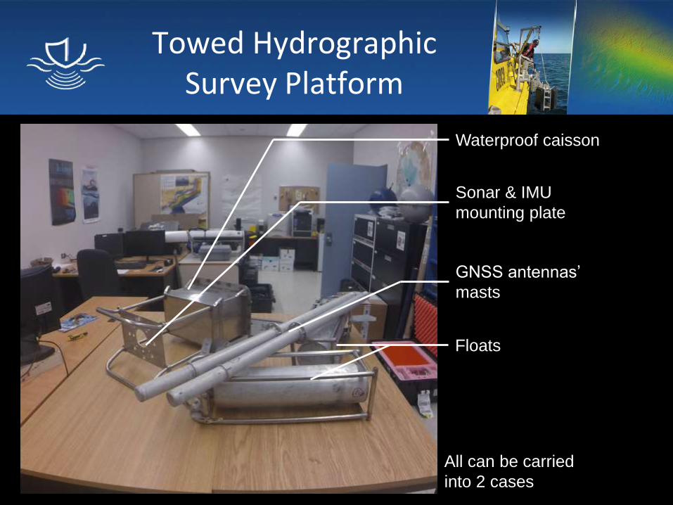
Towed Hydrographic Survey Platform
All can be carried
into 2 cases
Waterproof caisson
Sonar & IMU
mounting plate
GNSS antennas’
masts
Floats
Towed Hydrographic Survey Platform
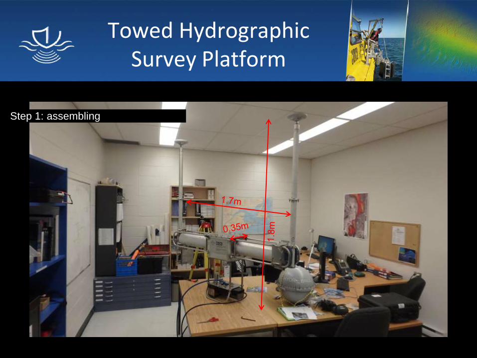
Step 1: assembling
Towed Hydrographic Survey Platform
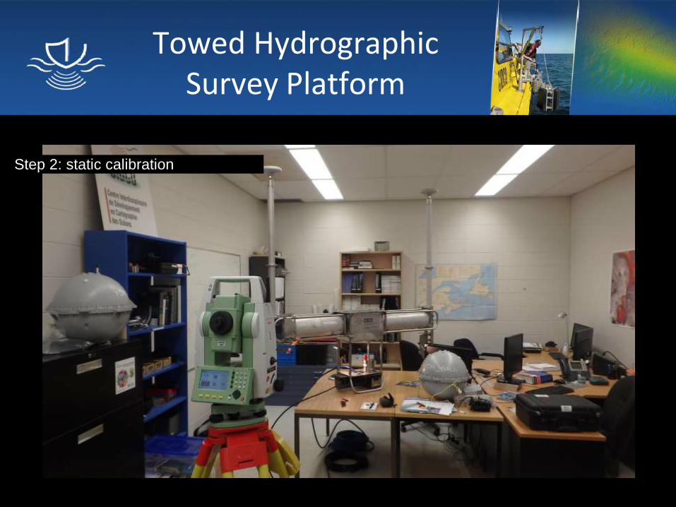
Step 2: static calibration
Towed Hydrographic Survey Platform
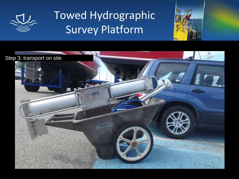
Step 3: transport on site
Towed Hydrographic Survey Platform
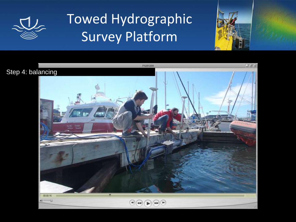
Step 4: balancing
Towed Hydrographic Survey Platform
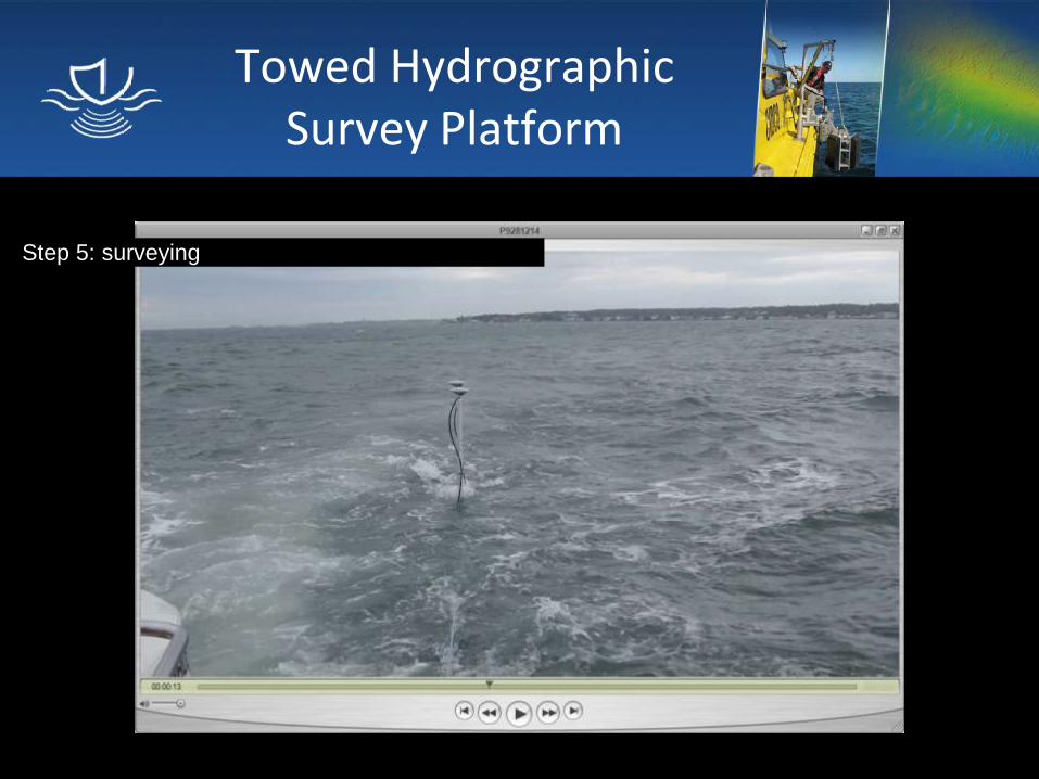
Step 5: surveying
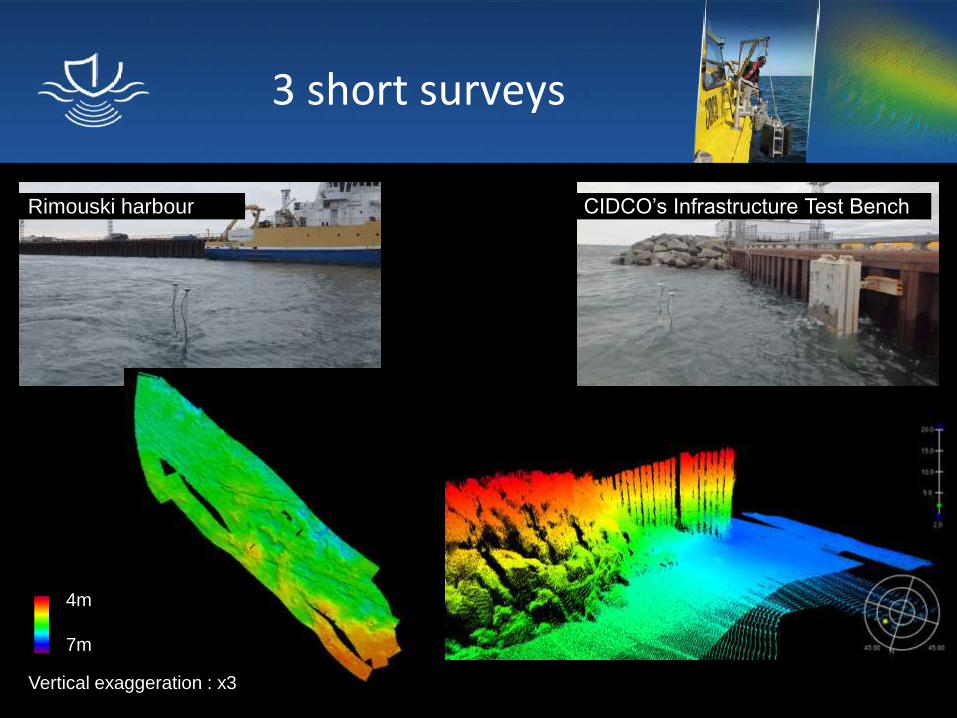
3 short surveys
4m
7m
Vertical exaggeration : x3
Rimouski harbour
CIDCO’s Infrastructure Test Bench
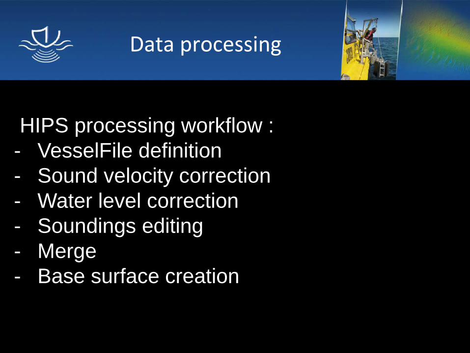
Data processing
HIPS processing workflow :
- VesselFile definition
- Sound velocity correction
- Water level correction
- Soundings editing
- Merge
- Base surface creation
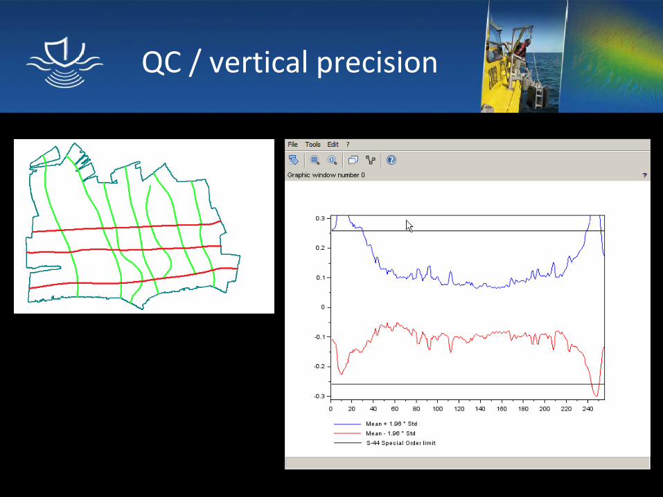
QC / vertical precision
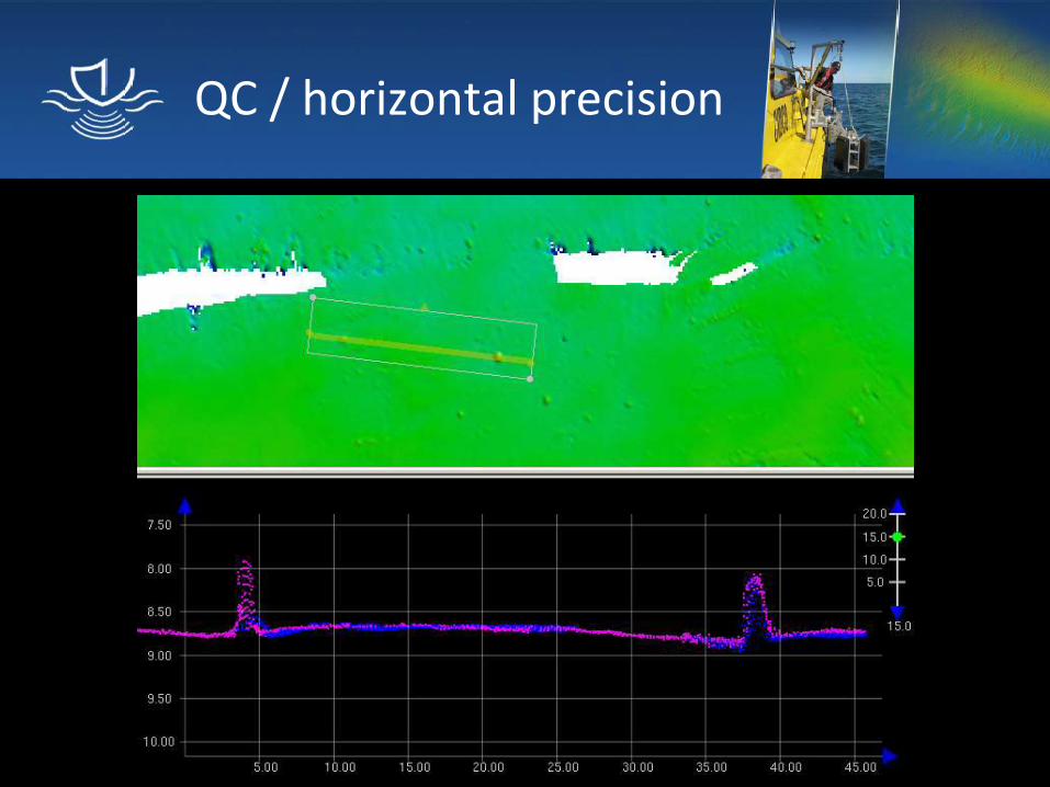
QC / horizontal precision
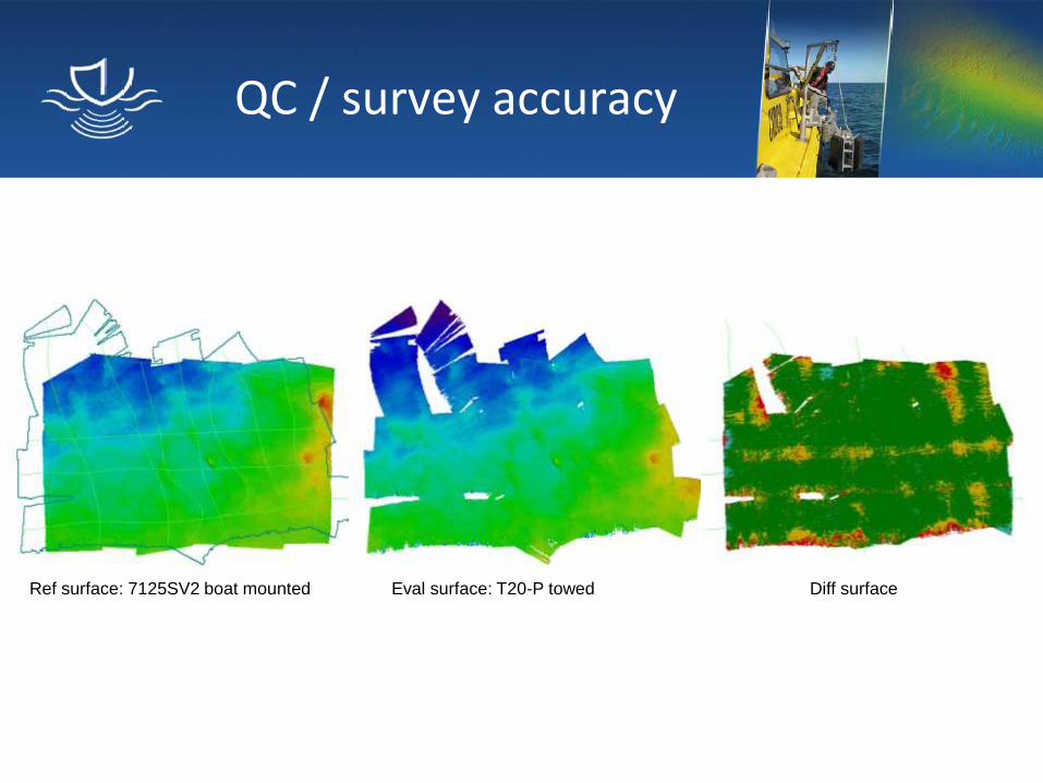
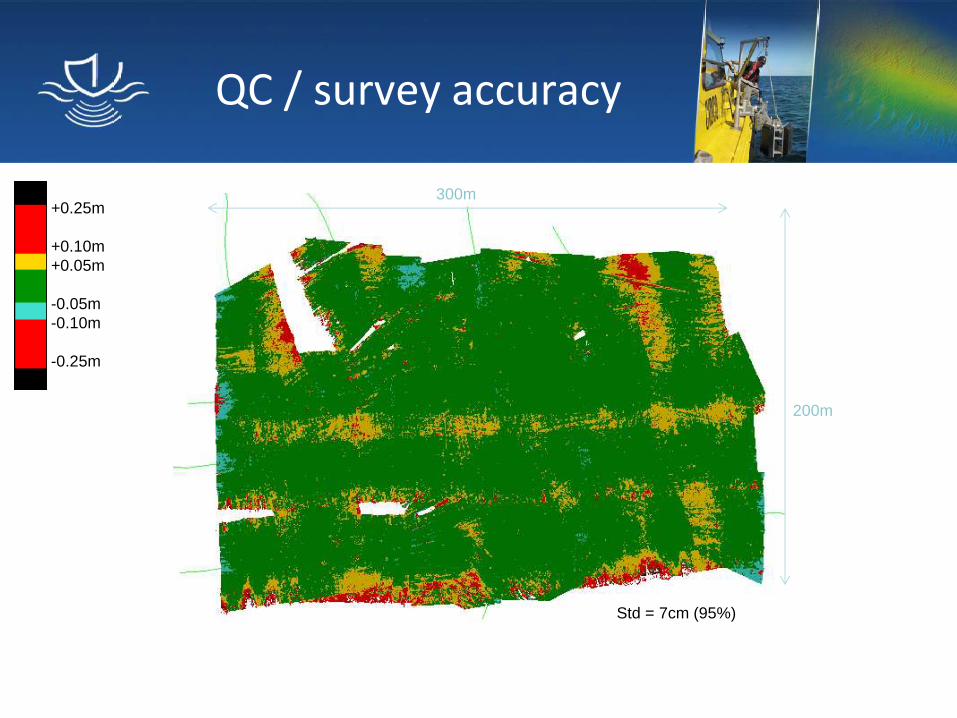
QC / survey accuracy
Ref surface: 7125SV2 boat mounted Eval surface: T20-P towed Diff surface
QC / survey accuracy
+0.25m
+0.10m
+0.05m
-0.05m
-0.10m
-0.25m
Std = 7cm (95%)
300m
200m
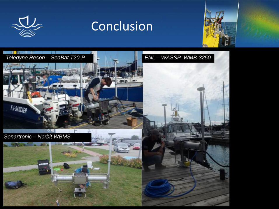
Conclusion
Teledyne Reson – SeaBat T20-P
Sonartronic – Norbit WBMS
ENL – WASSP WMB-3250
Conclusion
Contact
310 allée des Ursulines
C.P. 3300, Rimouski (Qc) G5L 3A1
CANADA
Telephone: 418 725-1732
www.cidco.ca
Recommended