Ossipee 14749
Replacement of three bridges
&
Rehabilitation of pavement
On NH Routes 16&25
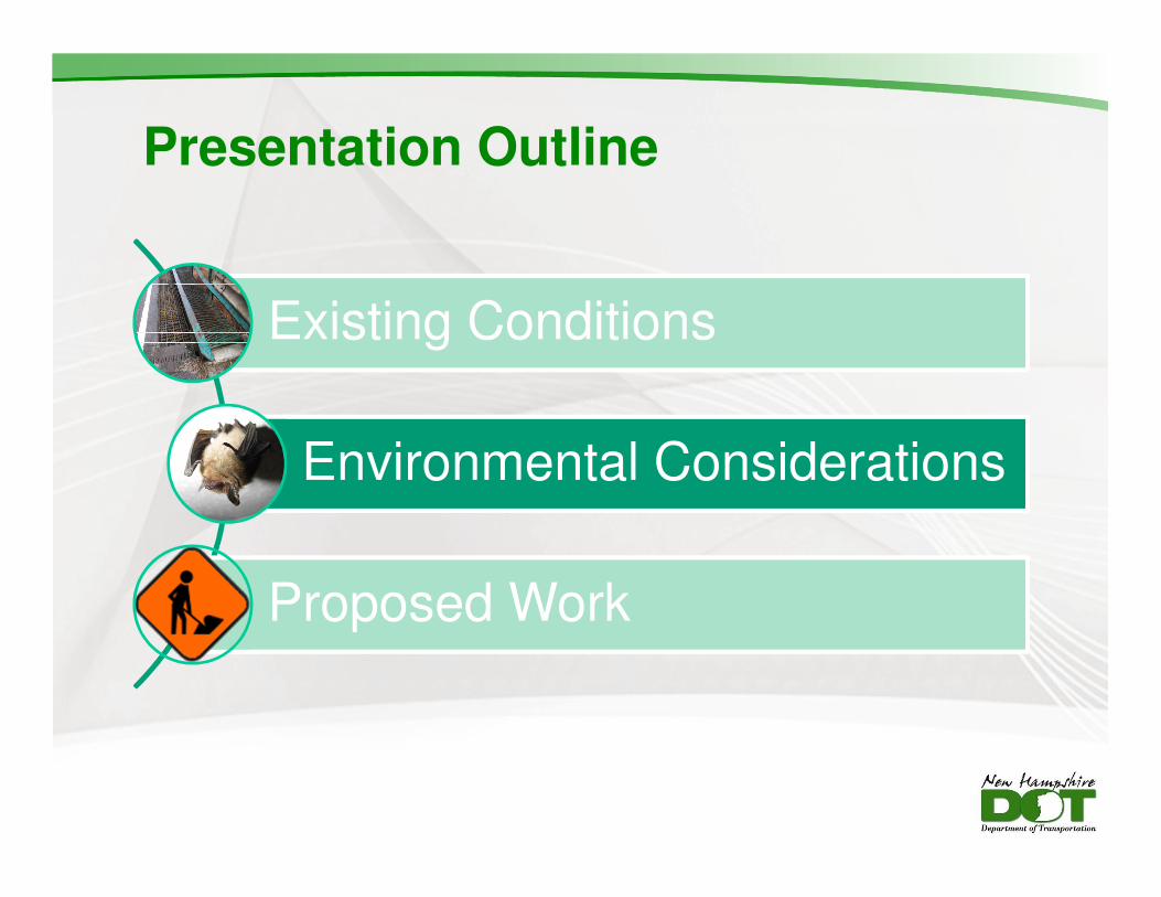
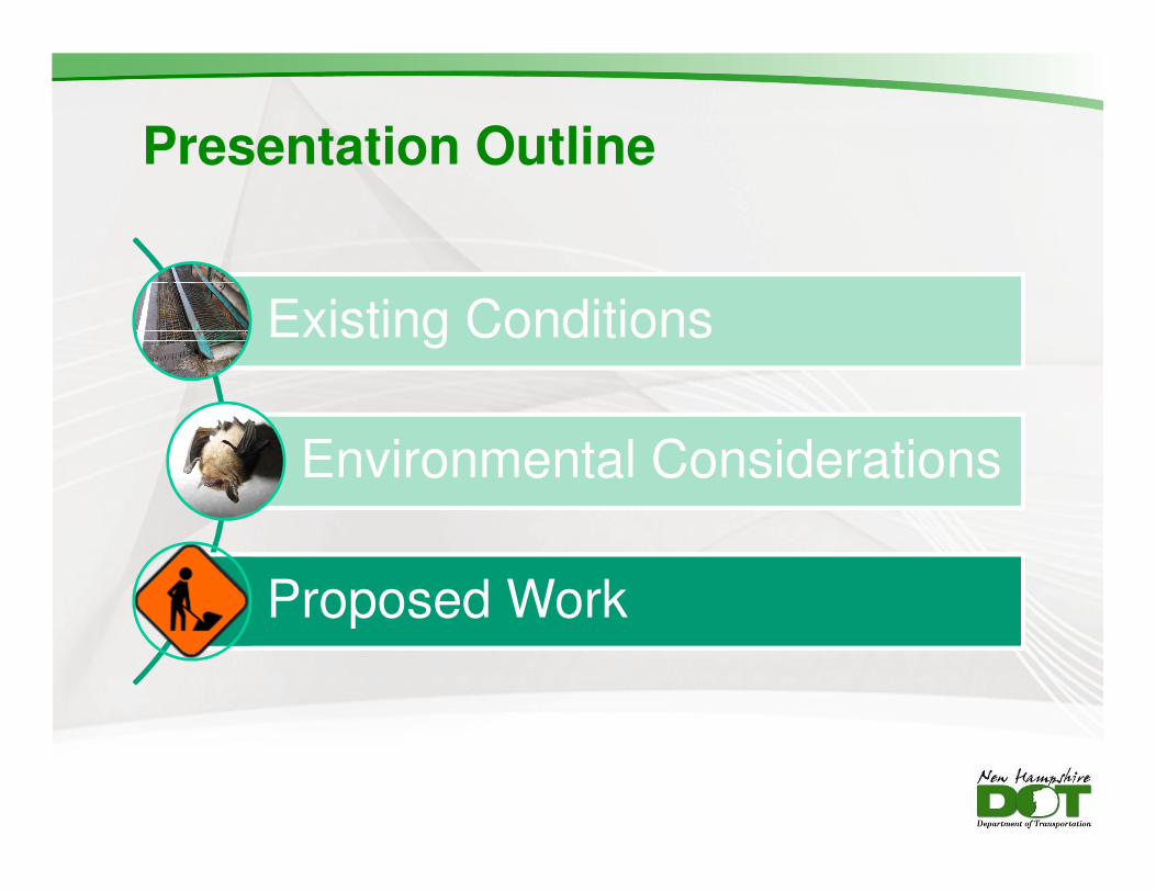
Presentation Outline
Existing Conditions
Environmental Considerations
Proposed Work
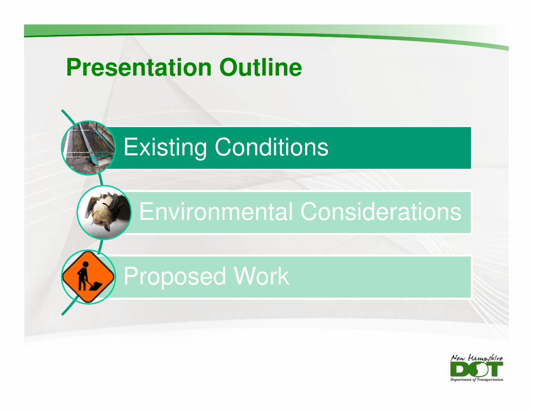
Project Limits
Roadway Data
• Constructed in 1955
• 12-foot lanes with 4-foot shoulders
• Posted Speed Limit = 45 miles per hour
• Average Annual Daily Traffic = 11,000
vehicles per day (vpd)
• Summer peak traffic = 18,000 vpd
• Fair to poor underlying pavement condition
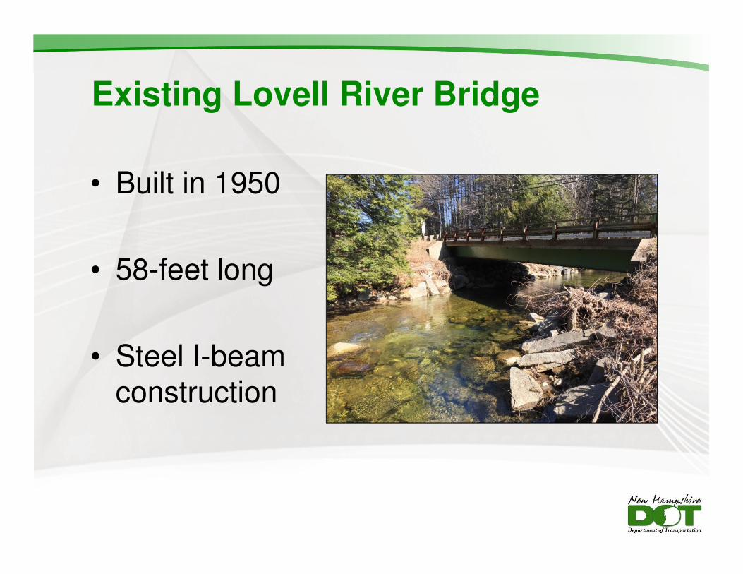
Existing Lovell River Bridge
• Built in 1950
• 58-feet long
• Steel I-beam construction
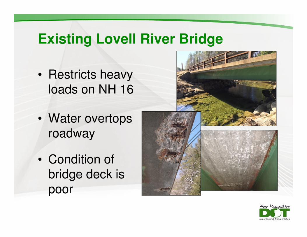
Existing Lovell River Bridge
• Restricts heavy loads on NH 16
• Water overtops roadway
• Condition of bridge deck is poor
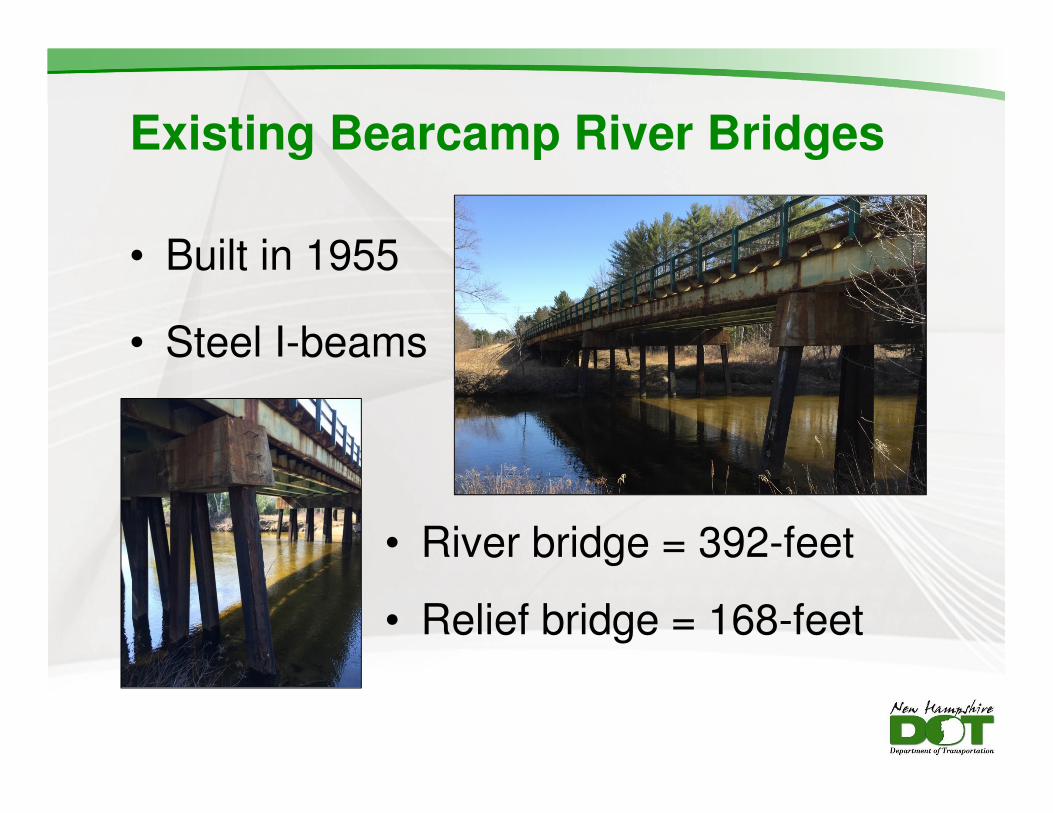
Existing Bearcamp River Bridges
• Built in 1955
• Steel I-beams
• River bridge = 392-feet
• Relief bridge = 168-feet
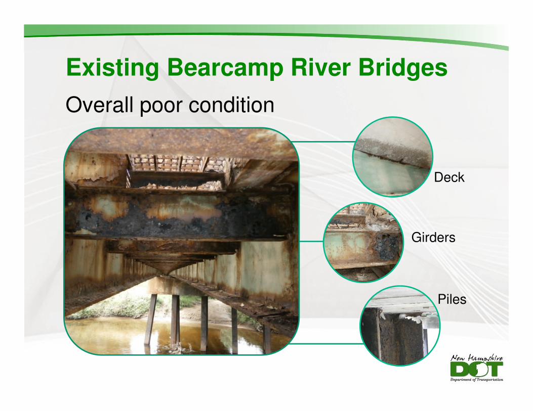
Existing Bearcamp River Bridges
Overall poor condition
Deck
Girders
Piles
Presentation Outline
Existing Conditions
Environmental Considerations
Proposed Work
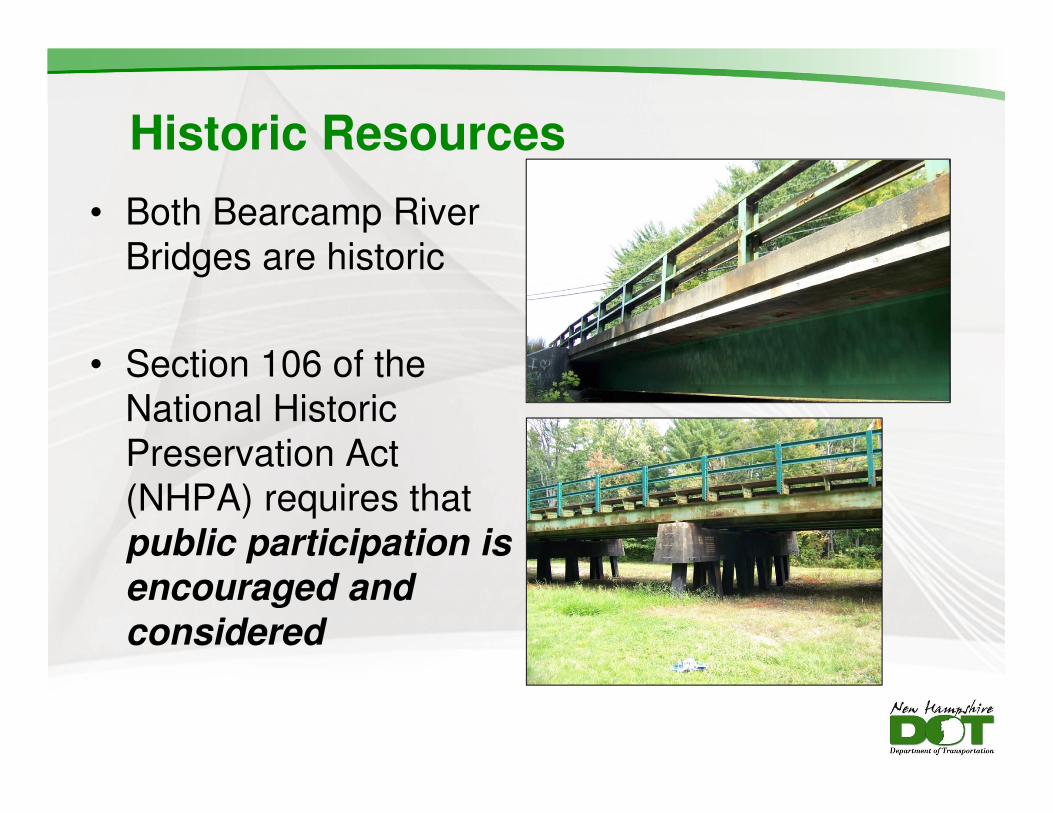
Historic Resources
• Both Bearcamp River
Bridges are historic
• Section 106 of the
National Historic
Preservation Act
(NHPA) requires that
public participation is
encouraged and
considered
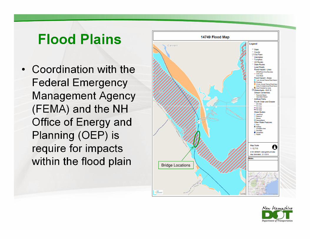
Flood Plains
• Coordination with the
Federal Emergency
Management Agency
(FEMA) and the NH
Office of Energy and
Planning (OEP) is
require for impacts
within the flood plain Bridge Locations
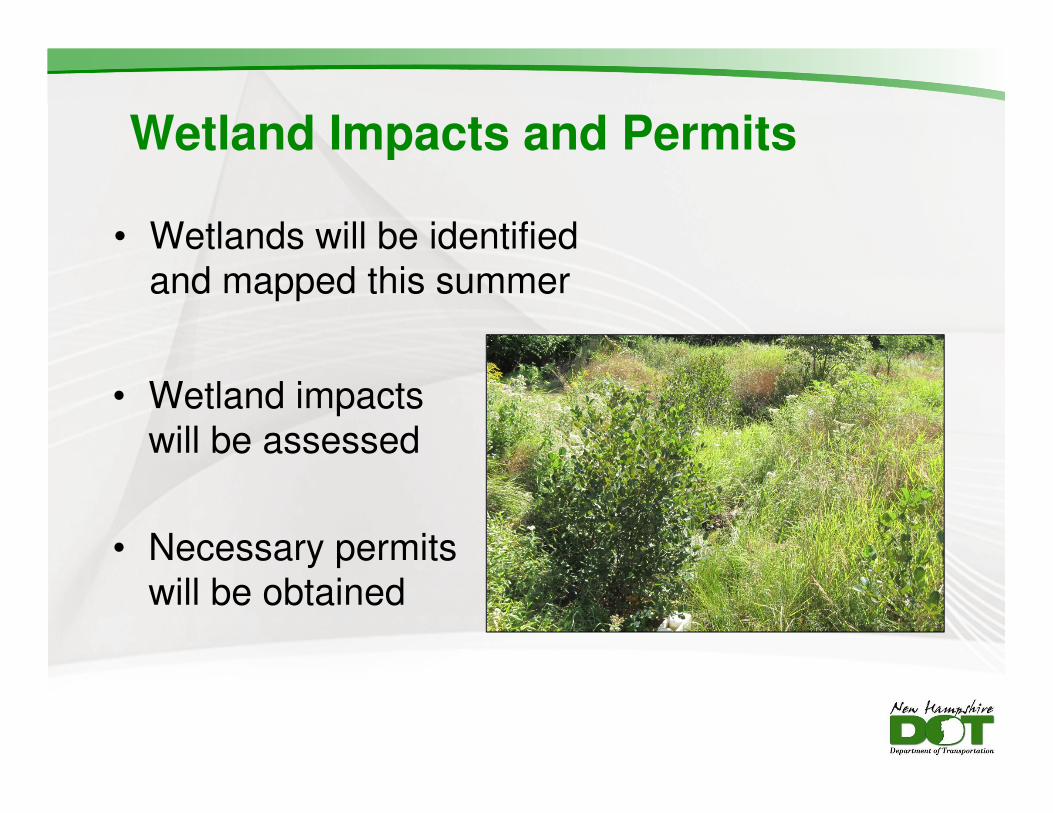
Wetland Impacts and Permits
• Wetlands will be identified
and mapped this summer
• Wetland impacts
will be assessed
• Necessary permits
will be obtained
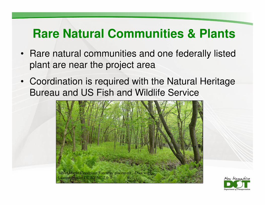
Rare Natural Communities & Plants
• Rare natural communities and one federally listed
plant are near the project area
• Coordination is required with the Natural Heritage
Bureau and US Fish and Wildlife Service
Silver Maple Floodplain Forest by placeuvmt - Own work.
Licensed under CC BY-NC 2.0
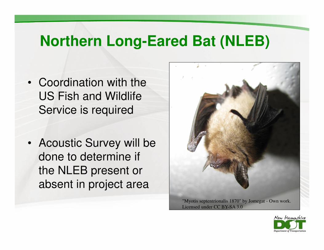
Northern Long-Eared Bat (NLEB)
• Coordination with the
US Fish and Wildlife
Service is required
• Acoustic Survey will be
done to determine if
the NLEB present or
absent in project area
"Myotis septentrionalis 1870" by Jomegat - Own work.
Licensed under CC BY-SA 3.0
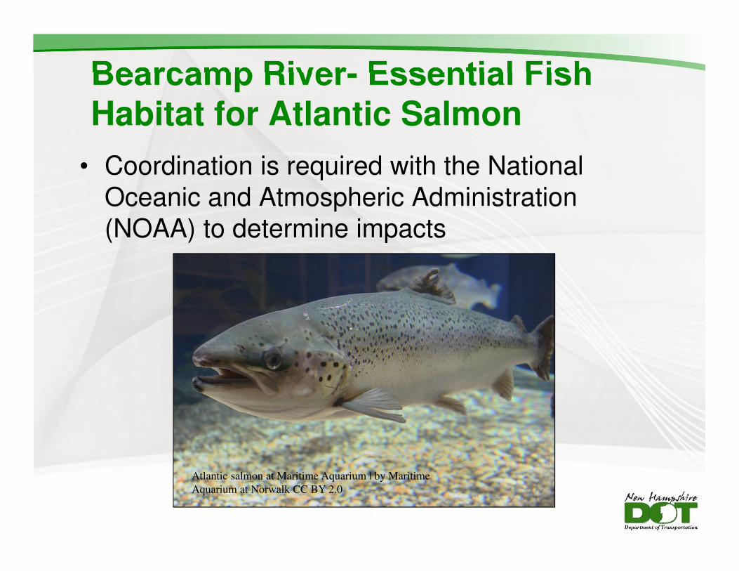
Bearcamp River- Essential Fish Habitat for Atlantic Salmon
• Coordination is required with the National
Oceanic and Atmospheric Administration
(NOAA) to determine impacts
Atlantic salmon at Maritime Aquarium | by Maritime
Aquarium at Norwalk CC BY 2.0
Presentation Outline
Existing Conditions
Environmental Considerations
Proposed Work
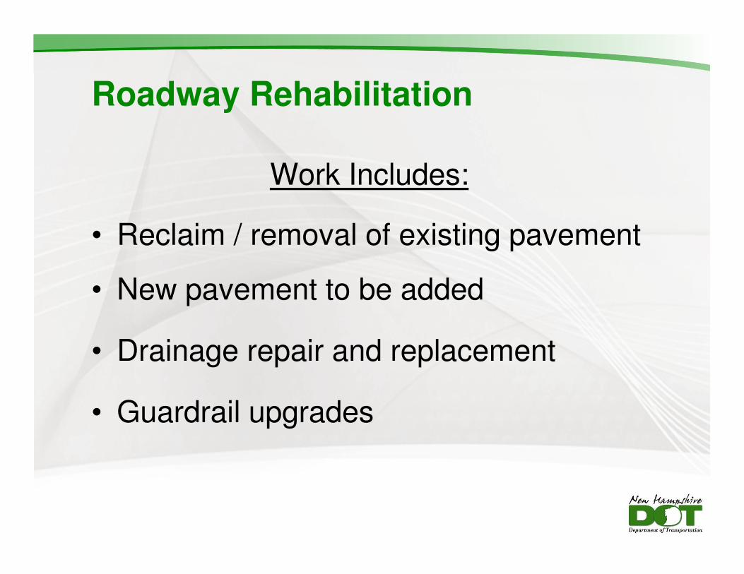
Roadway Rehabilitation
Work Includes:
• Reclaim / removal of existing pavement
• New pavement to be added
• Drainage repair and replacement
• Guardrail upgrades
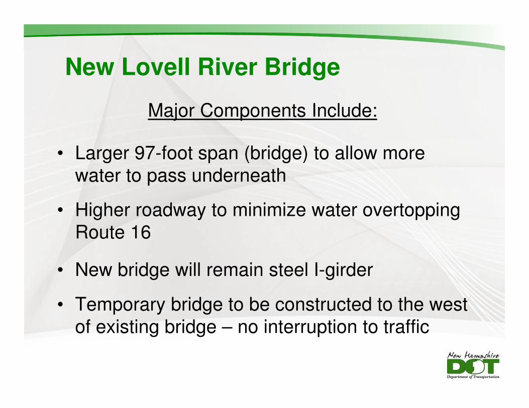
New Lovell River Bridge
Major Components Include:
• Larger 97-foot span (bridge) to allow more
water to pass underneath
• Higher roadway to minimize water overtopping
Route 16
• New bridge will remain steel I-girder
• Temporary bridge to be constructed to the west
of existing bridge – no interruption to traffic
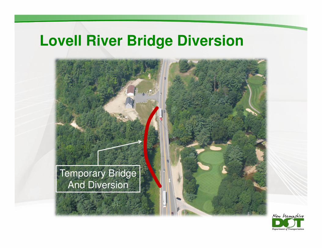
Lovell River Bridge Diversion
Temporary Bridge
And Diversion

New Bearcamp River Bridges
Major Components Include:
• To be constructed on existing alignment
• Bridge piers will be removed from river to reduce
number of spans
• River bridge = 410-foot long steel I-girder bridge
• Relief bridge = 185-foot long steel or concrete
New Technology – Slide-In Bridge Construction
• New beams and bridge deck to be built on
temporary supports next to existing bridge
• New foundations to be installed with
alternating one-way traffic in off-season
• Road is closed (1 off-season weekend per
bridge), the old bridge is removed and new
bridge is slid into place
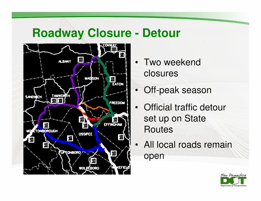
Roadway Closure - Detour
• Two weekend
closures
• Off-peak season
• Official traffic detour
set up on State
Routes
• All local roads remain
open
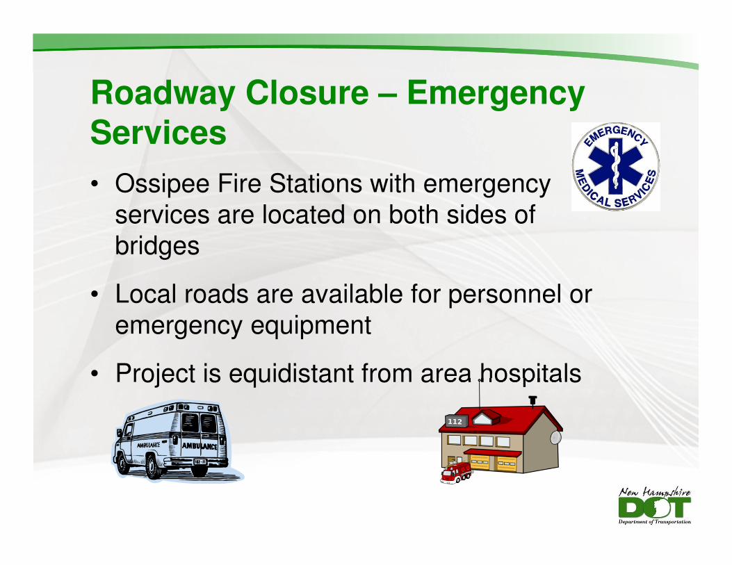
Roadway Closure – Emergency Services
• Ossipee Fire Stations with emergency
services are located on both sides of
bridges
• Local roads are available for personnel or
emergency equipment
• Project is equidistant from area hospitals
Benefits of Slide-In Bridge Construction
• Minimizes construction impacts to traffic
• Shortens construction duration
• Minimizes environmental impacts
• Reduces permanent impacts to surrounding properties
• Saves money versus installing temporary bridges
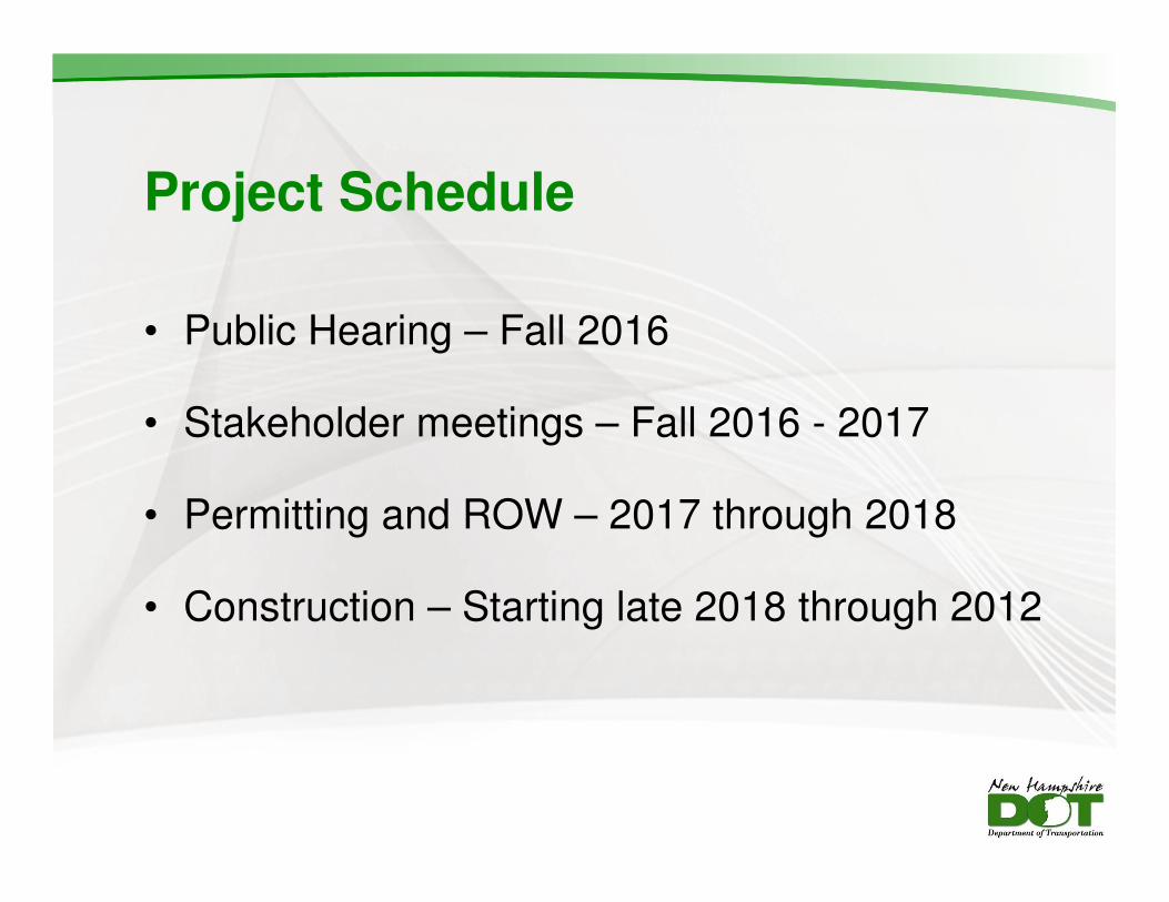
Project Schedule
• Public Hearing – Fall 2016
• Stakeholder meetings – Fall 2016 - 2017
• Permitting and ROW – 2017 through 2018
• Construction – Starting late 2018 through 2012

For More Information
• Contact:
Victoria Chase, NHDOT Project Manager
Phone: (603) 271-2171
E-mail: [email protected]
Questions?
• Visit the project website
www.nh.gov/dot/projects/
Recommended