Embed Size (px)
Citation preview

WINGS Aerial Response Exercises
Locat ion TBD
June 2016

WINGS is designed to be a series of tabletops and field exercises to aid in
effective collaboration of multiple aerial radiation detection assets.
WINGS
To achieve a seamless integration of all aerial assets into a unified response
To improve aerial emergency response techniques and establish working
relationships with responding agencies
“We train as we fight and we fight as we train”
Local emergency responders will most likely be the first on scene at
a radiological incident.
Dependent of the size of the response, the need for additional aerial assets
may be great

Full Scale Exercises
WINGS
Conduct measurements of actual contamination
Real-time development of a response plan
Development of a joint map product from all aerial assets
Establishment of a Concept of Operations document
Exercise an Incident Command Structure
Coordination and prioritization of multiple aerial assets
Exercise the Aerial CONOP process
2014 2015

WINGS 2014 2015
Establish working relationships with responding agencies High Priority
A+ A+
Established a good working foundation between multiple aerial
assets during a nuclear response mission.
Plan to improve on mission prioritization
specific to asset specialization and final products.

2014 Participants Customs Border and Protection
AMS Region 3 &
Los Angeles Sheriff’s
Department Las Vegas ARMOR
NTNF
Remote Sensing
Laboratory
Participants: 100+ 7 + Aircraft
2014 Execution Tuesday, March 25 – Thursday, March 27, 2014
DAY 1
. .
FULL SCALE EXERCISE (DESERT ROCK AIRPORT)
• MISSION ASSIGNMENTS • MISSION PLANNING • FLIGHTS APPROVED BY AIR BOSS • BRIEFINGS
MEDIA LOGISTICS
DAY 2 - 4 .

WINGS 2015 Participants
EPA
RSL
NTNF/ARMY
Florida Highway Patrol &
Bureau of Radiation Control
Customs Border and
Protection & AMS Region 3
Philadelphia Police
Department
Participants: 100+ 8+ Aircraft

2015 Summary
PARTICIPANTS: 95+ AIRCRAFT PRESENT: 10 FIXED-WING: 6 HELICOPTER: 4 AERIAL MISSIONS: 32 ALTITUDE SPIRAL: 8 SE15 FLIGHTS: 10 FLIGHT HOURS: ~ 75
8
* 1 h e l i c o p t e r d o w n f o r m a i n t e n a n c e
SUPPORTED NATIONAL LEVEL S.C. EXERCISE: SOUTHERN EXPOSURE (SE15)


2015 Execution
10
DAY 1
. .
REGISTRATION & BRIEFINGS AIRCRAFT ARRIVE
MARS REFRESHER
PIC MEASUREMENTS
Monday, July 20, 2015
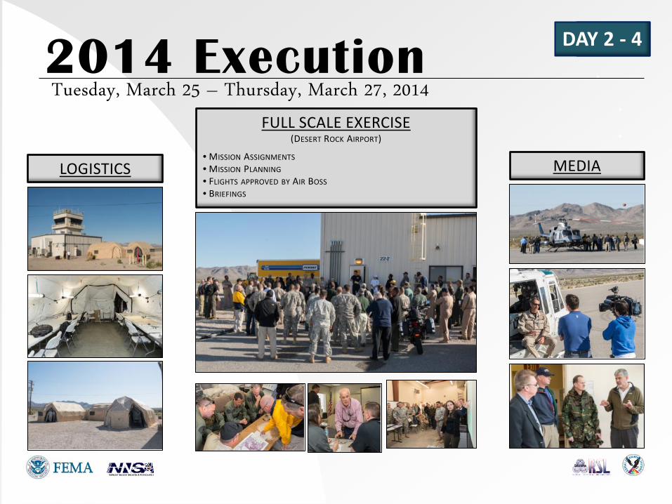
2015 Execution FULL SCALE EXERCISE
DAYS 2 - 4
. .
Tuesday – Thursday , July 21 - 23, 2015
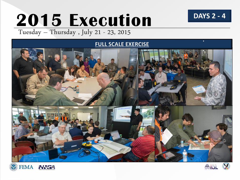
Feedback – Most Commented
WINGS
Need for situational awareness
Access to areas containing real activity
Ability to learn other and observe limitations of system(s)
Interaction with other Federal and local agencies
MARS training is appreciated and/or requested
More time designated for briefings
Roles & Responsibilities of a RNAC needs to be defined
2014 2015

Focus
WINGS 2016 (JUNE)
Selection and implementation of the RNAC
Prioritization of missions for data collection needs
Multi-Agency data collaboration and integration
Exercise the Aerial CONOP and SOP
Improve the situational awareness for assets/participants
Implementation of direction through a “FRMAC”
Monitoring Manager will interact with players