Embed Size (px)
Citation preview
Where we are going…Where we are going…
1. Shape of the earth… oblate 1. Shape of the earth… oblate spheroid spheroid
2. Site and situation2. Site and situation 3. Latitude and longitude, GPS3. Latitude and longitude, GPS 4. Maps 4. Maps
Empty PacEmpty Pac


Site and situationSite and situation
Site = physical attributes of a placeSite = physical attributes of a place
Situation = relative location of a Situation = relative location of a place relative to other places and place relative to other places and human activities human activities
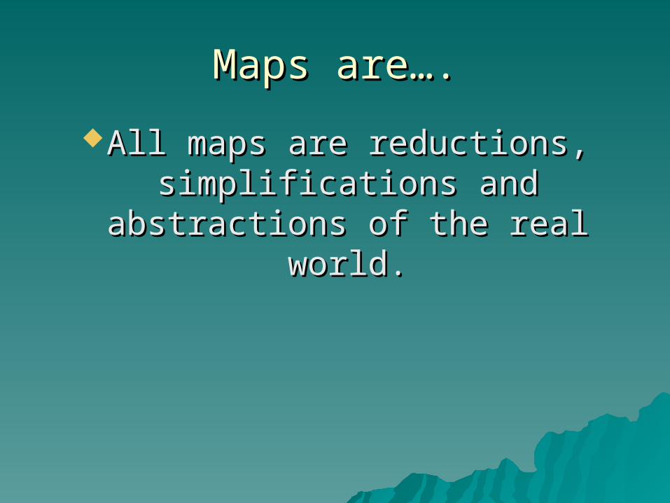
Maps are….Maps are….
All maps are reductions, All maps are reductions, simplifications and abstractions simplifications and abstractions
of the real world.of the real world.

MapsMaps
Virtual and realVirtual and real


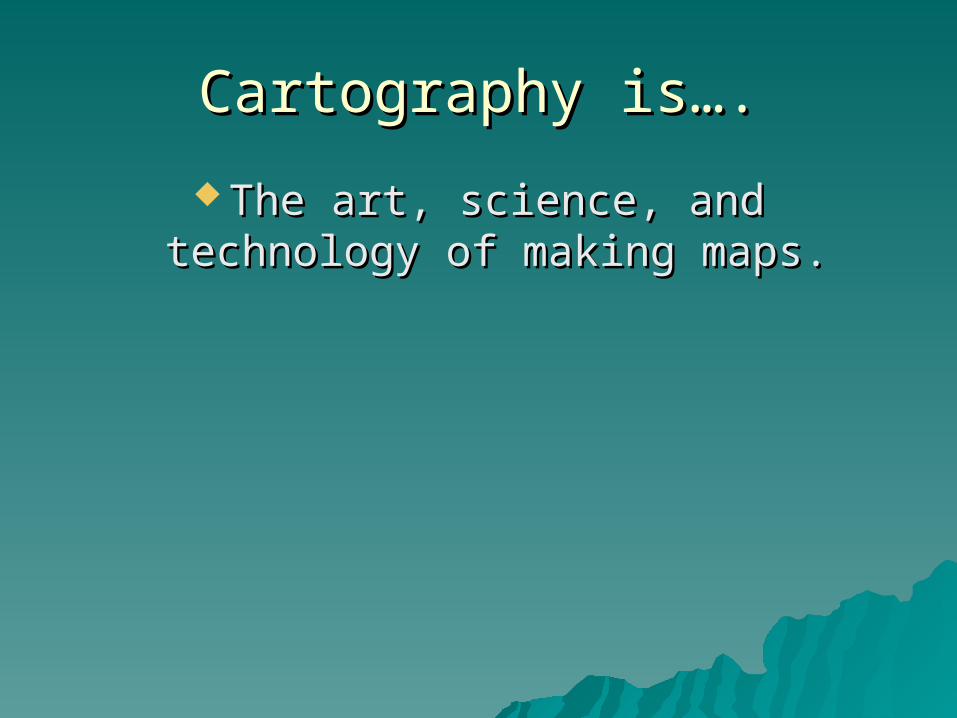
Cartography is….Cartography is….
The art, science, and technology of The art, science, and technology of making maps.making maps.

Maps (usually) have certain Maps (usually) have certain elementselements
TitleTitleLegendLegendScaleScale
BorderBorderScaleScale InsetsInsets


ProjectionsProjections
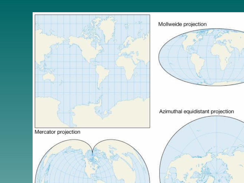
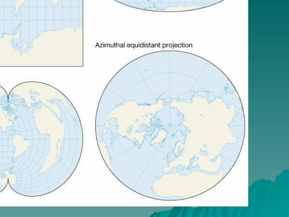

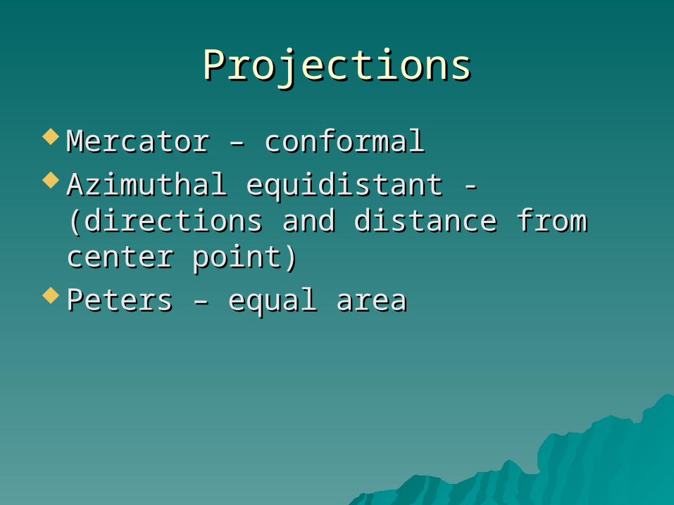
ProjectionsProjections
Mercator – conformalMercator – conformal Azimuthal equidistant - (directions Azimuthal equidistant - (directions
and distance from center point)and distance from center point) Peters – equal areaPeters – equal area
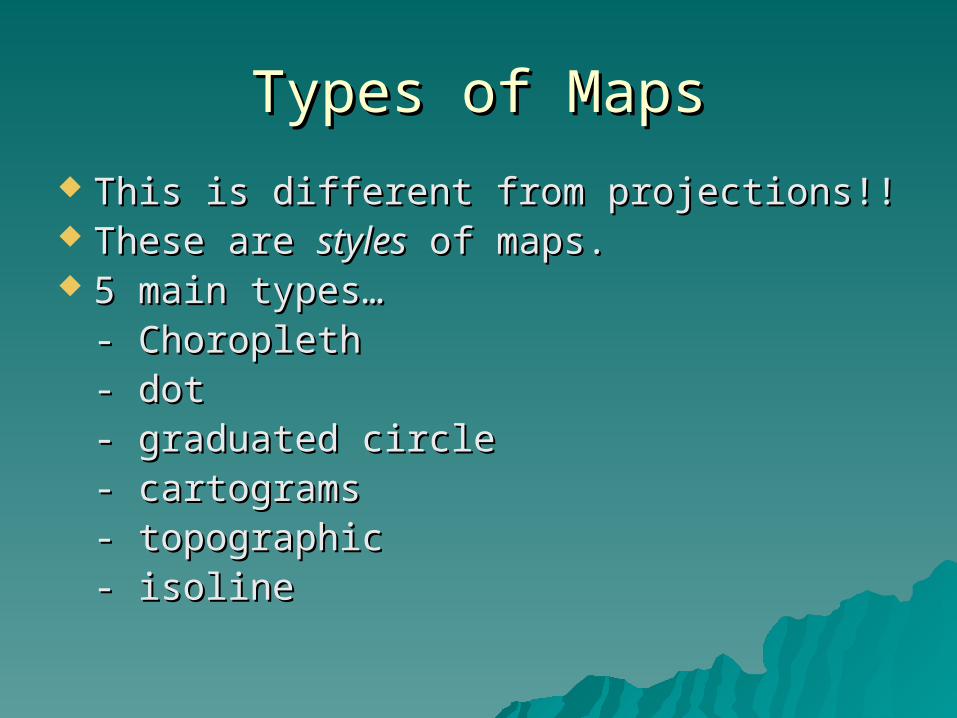
Types of MapsTypes of Maps
This is different from projections!!This is different from projections!! These are These are stylesstyles of maps. of maps. 5 main types… 5 main types…
- Choropleth- Choropleth- dot- dot- graduated circle- graduated circle- cartograms- cartograms- topographic- topographic- isoline - isoline


Categorizing dataCategorizing data
776.5776.5 756.5756.5 753.5753.5 732732 713.5713.5 708708 706706 705705 698.5698.5 693.5693.5
693.4693.4 690690 689689 689689 686.5686.5 681.5681.5 680680 680680 679679 677677


Categorizing dataCategorizing data
776.5776.5 756.5756.5 753.5753.5 732732 713.5713.5 708708 706706 705705 698.5698.5 693.5693.5
693.4693.4 690690 689689 689689 686.5686.5 681.5681.5 680680 680680 679679 677677

Categorizing dataCategorizing dataquartile - 4 classesquartile - 4 classes
776.5776.5 756.5756.5 753.5753.5 732732 713.5713.5
708708 706706 705705 698.5698.5 693.5693.5
693.4693.4 690690 689689 689689 686.5686.5
681.5681.5 680680 680680 679679 677677

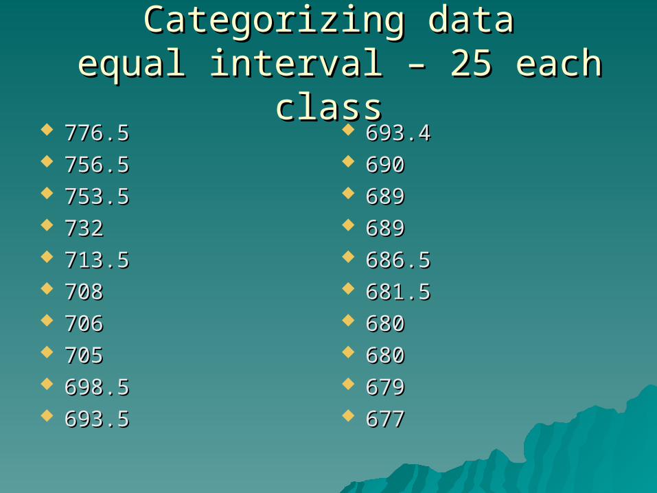
Categorizing dataCategorizing data equal interval – 25 each class equal interval – 25 each class
776.5776.5 756.5756.5 753.5753.5 732732 713.5713.5 708708 706706 705705 698.5698.5 693.5693.5
693.4693.4 690690 689689 689689 686.5686.5 681.5681.5 680680 680680 679679 677677

Categorizing dataCategorizing dataequal interval – 25 each classequal interval – 25 each class
776.5776.5 756.5756.5 753.5753.5
732732
713.5713.5 708708 706706 705705
698.5698.5 693.5693.5 693.4693.4 690690 689689 689689 686.5686.5 681.5681.5 680680 680680 679679 677677


Categorizing dataCategorizing datanatural breaksnatural breaks
776.5776.5 756.5756.5 753.5753.5 732732 713.5713.5 708708 706706 705705 698.5698.5 693.5693.5
693.4693.4 690690 689689 689689 686.5686.5 681.5681.5 680680 680680 679679 677677

Dot mapDot map


Graduated CircleGraduated Circle
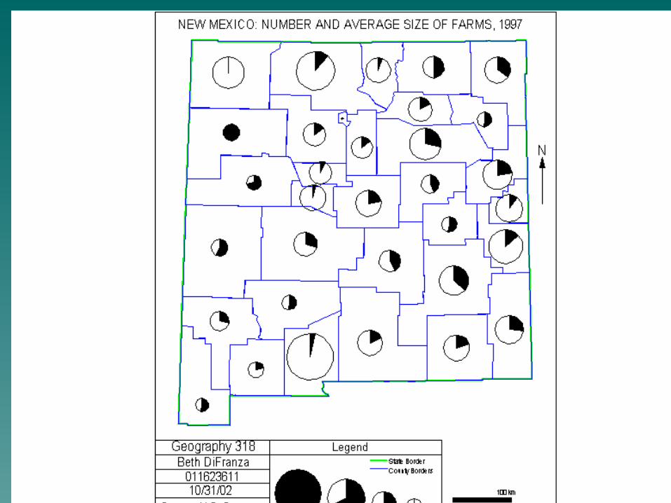
Graduated CircleGraduated Circle

CartogramCartogram

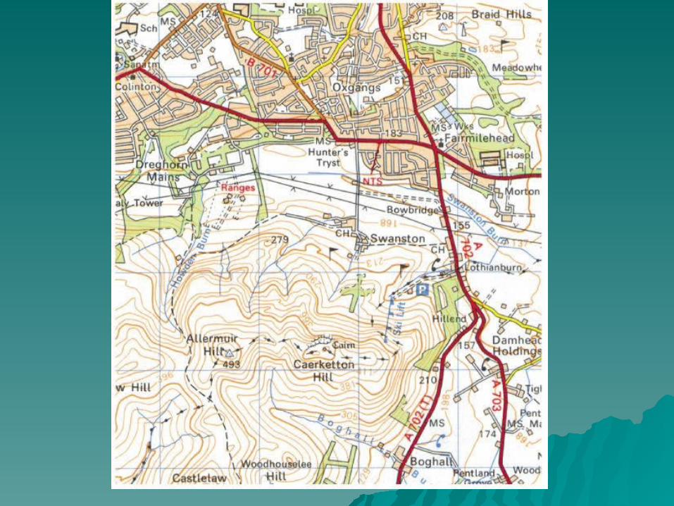
TopographicTopographic


Topographic mapsTopographic maps
Contours (and types) p. 122 fig 8.4Contours (and types) p. 122 fig 8.4 Contour intervalContour interval


Topographic mapsTopographic maps
Contours (and types) p. 122 fig 8.4Contours (and types) p. 122 fig 8.4 Contour intervalContour interval Layer tintsLayer tints
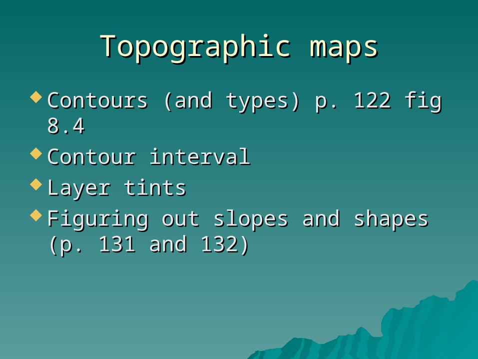
Topographic mapsTopographic maps
Contours (and types) p. 122 fig 8.4Contours (and types) p. 122 fig 8.4 Contour intervalContour interval Layer tintsLayer tints Figuring out slopes and shapes (p. Figuring out slopes and shapes (p.
131 and 132)131 and 132)
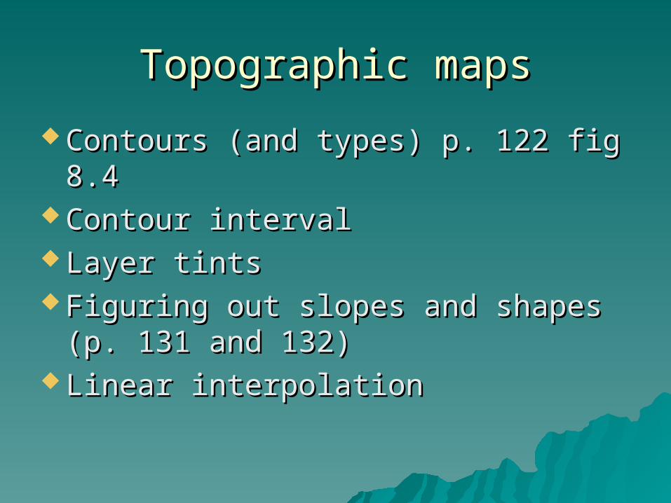
Topographic mapsTopographic maps
Contours (and types) p. 122 fig 8.4Contours (and types) p. 122 fig 8.4 Contour intervalContour interval Layer tintsLayer tints Figuring out slopes and shapes (p. Figuring out slopes and shapes (p.
131 and 132)131 and 132) Linear interpolationLinear interpolation

Topographic mapsTopographic maps
Contours (and types) p. 122 fig 8.4Contours (and types) p. 122 fig 8.4 Contour intervalContour interval Layer tintsLayer tints Figuring out slopes and shapes (p. Figuring out slopes and shapes (p.
131 and 132)131 and 132) Linear interpolationLinear interpolation Slope measurementsSlope measurements

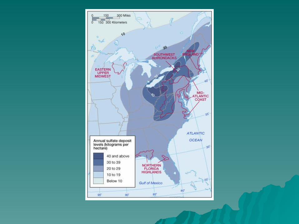
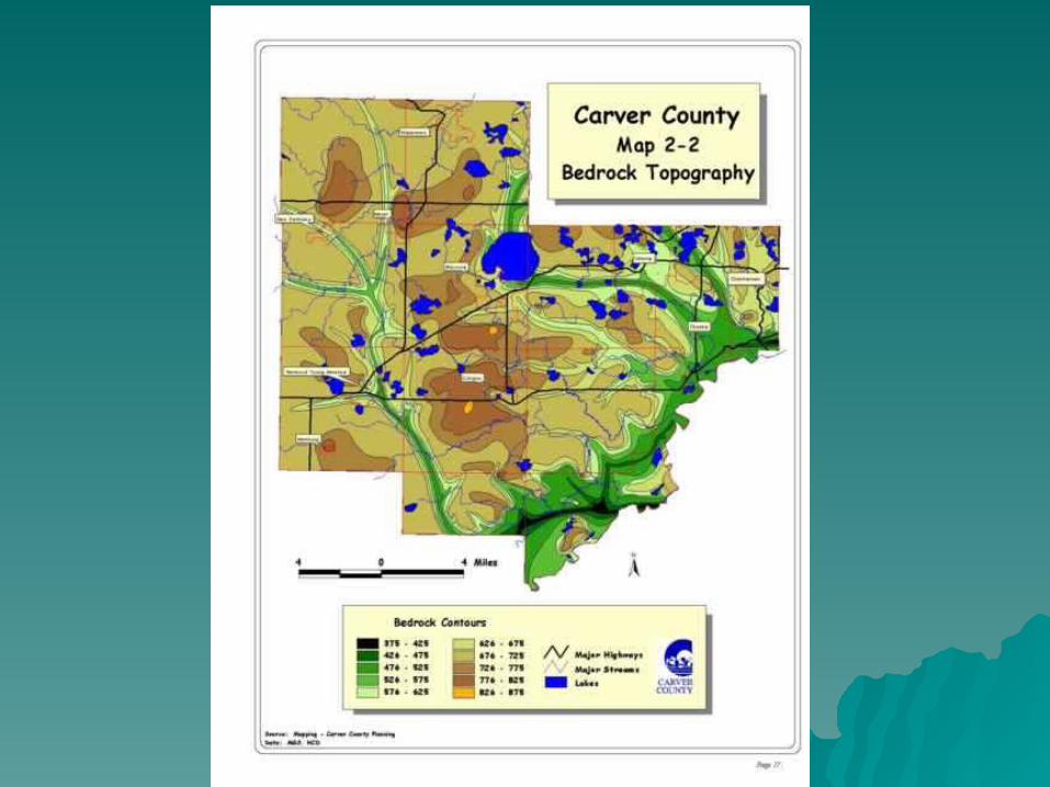
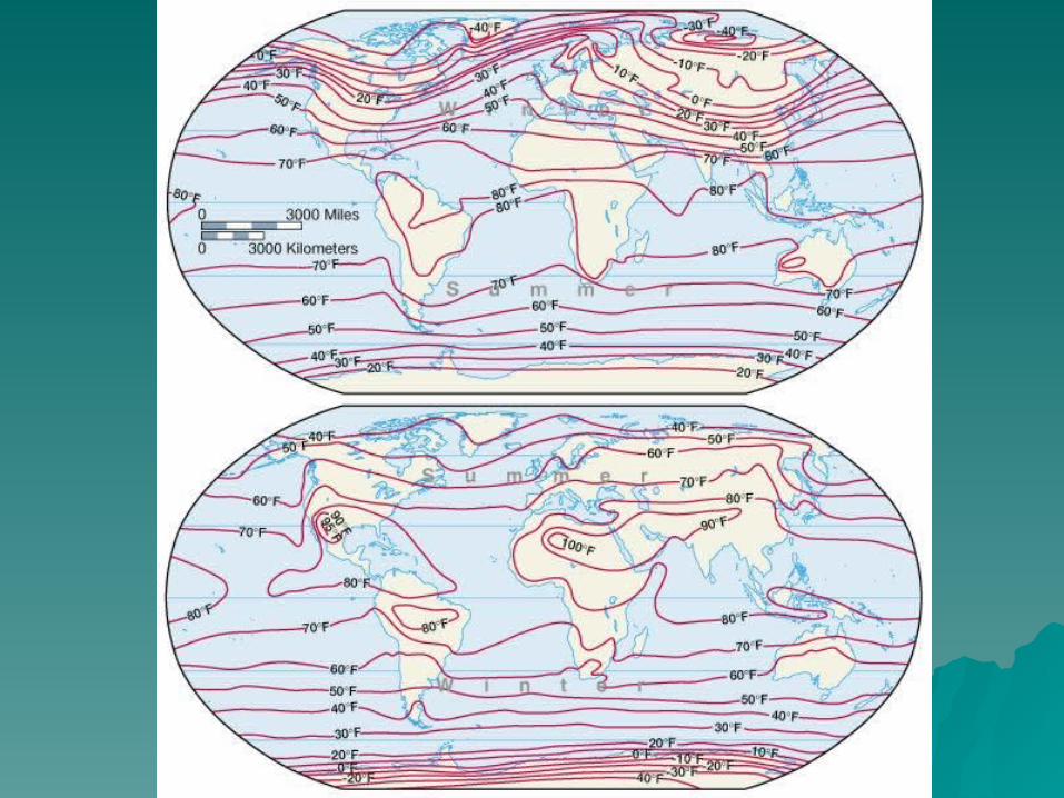
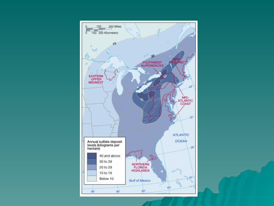
Other Isoline MapsOther Isoline Maps


What kind of mapWhat kind of map

What kind of map??What kind of map??


![International spheroid[1]](https://img.pdfslide.us/doc/110x75/5447026db1af9fdc3a8b4784/international-spheroid1.jpg)