Embed Size (px)
Citation preview
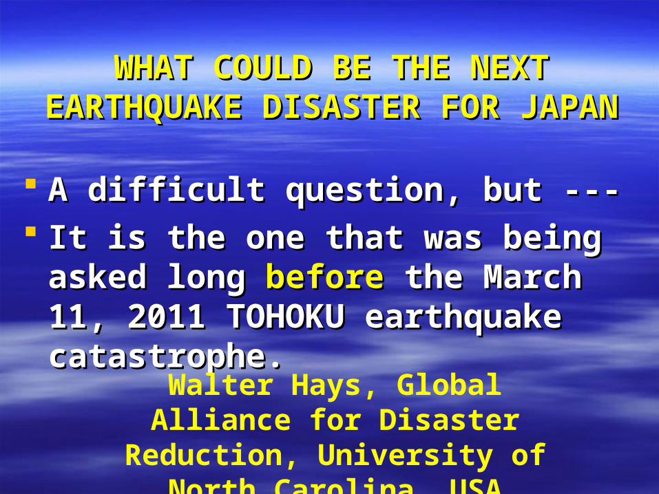
WHAT COULD BE THE NEXT WHAT COULD BE THE NEXT EARTHQUAKE DISASTER FOR EARTHQUAKE DISASTER FOR
JAPANJAPAN
A difficult question, but ---A difficult question, but --- It is the one that was being asked It is the one that was being asked
long long beforebefore the March 11, 2011 the March 11, 2011 TOHOKU earthquake catastrophe.TOHOKU earthquake catastrophe.
Walter Hays, Global Alliance for Disaster Reduction, University of
North Carolina, USA
EARTHQUAKE SCENARIOEARTHQUAKE SCENARIOTOKAI, JAPAN TOKAI, JAPAN
EARTHQUAKE ZONE EARTHQUAKE ZONE
AN IMPENDING DISASTER AN IMPENDING DISASTER
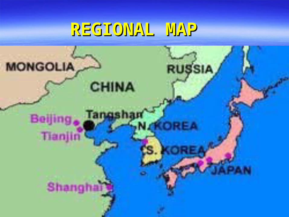
REGIONAL MAP REGIONAL MAP

A probabilistic ground shaking hazard map A probabilistic ground shaking hazard map requires integration of key aspects of requires integration of key aspects of geology, geophysics, and seismology geology, geophysics, and seismology in a in a consistent way to define:consistent way to define:
1) 1) Seismic source zones Seismic source zones having a spatial and having a spatial and temporal distribution of magnitudes and temporal distribution of magnitudes and recurrence rates.recurrence rates.
2) 2) Regional seismic wave attenuation rates.Regional seismic wave attenuation rates.

http://www.seismo.ethz.ch/gshap/eastasia/
MAP OF PGA FOR SE ASIA
Afghanistan
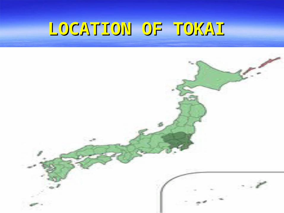
LOCATION OF TOKAILOCATION OF TOKAI


TOKAI EARTHQUAKE TOKAI EARTHQUAKE TECTONICSTECTONICS
The Nankai trough marks the The Nankai trough marks the boundary where the boundary where the Philippines tectonic plate is Philippines tectonic plate is subducting beneath Japan subducting beneath Japan (part of the Eurasian plate). (part of the Eurasian plate).


TOKAI EARTHQUAKE TOKAI EARTHQUAKE TECTONICSTECTONICS
The section along Tokai has not The section along Tokai has not ruptured since 1854.ruptured since 1854.

TOKAI EARTHQUAKE TOKAI EARTHQUAKE TECTONICSTECTONICS
The The recurrence interval recurrence interval of of large- magnitude large- magnitude earthquakes along this earthquakes along this boundary is believed to be boundary is believed to be 100-150 years100-150 years..

TOKAI EARTHQUAKE TOKAI EARTHQUAKE TECTONICSTECTONICS
At present, the land near At present, the land near Shizuoka is sinking toward the Shizuoka is sinking toward the Nankai trough at about 5 mm/yr. Nankai trough at about 5 mm/yr.
Japan’s Earthquake Research Japan’s Earthquake Research Institute is on record that the Institute is on record that the Tokai earthquake is eminent.Tokai earthquake is eminent.

TOKAI EARTHQUAKETOKAI EARTHQUAKE
Before the March 11, 2011 Before the March 11, 2011 Tohoku earthquakeTohoku earthquake, the , the Government of Japan Government of Japan expected its next great expected its next great earthquake to be “the earthquake to be “the Tokai EarthquakeTokai Earthquake.”.”

TOKAI EARTHQUAKETOKAI EARTHQUAKE
The precise area along the The precise area along the Pacific coast-- Pacific coast-- about 160 km (100 about 160 km (100 mi) southwest of Tokyo-- mi) southwest of Tokyo-- that is that is expected to be affected has been expected to be affected has been delineated by scientific studies.delineated by scientific studies.
By law, this area is the focus of By law, this area is the focus of intensive preparationsintensive preparations..

TOKAI EARTHQUAKETOKAI EARTHQUAKE
Estimated deaths — between Estimated deaths — between 7,900 and 9,200 depending on 7,900 and 9,200 depending on the amount of advance warning the amount of advance warning people have, the time of day people have, the time of day when it occurs, and the tsunami.when it occurs, and the tsunami.
Estimated property damage –- Estimated property damage –- as much as as much as $310 billion$310 billion..
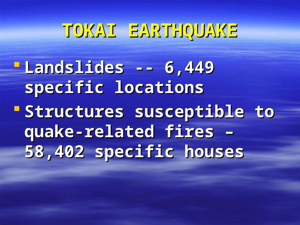
TOKAI EARTHQUAKETOKAI EARTHQUAKE
Landslides -- 6,449 specific Landslides -- 6,449 specific locationslocations
Structures susceptible to quake-Structures susceptible to quake-related fires – 58,402 specific related fires – 58,402 specific houses houses
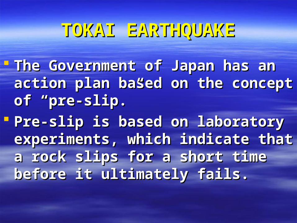
TOKAI EARTHQUAKETOKAI EARTHQUAKE
The Government of Japan has an The Government of Japan has an action plan based on the concept of action plan based on the concept of “pre-slip.”“pre-slip.”
Pre-slip is based on laboratory Pre-slip is based on laboratory experiments, which indicate that a rock experiments, which indicate that a rock slips for a short time before it slips for a short time before it ultimately fails.ultimately fails.

TOKAI EARTHQUAKETOKAI EARTHQUAKE
The Government of Japan is currently The Government of Japan is currently deploying strain meters throughout the deploying strain meters throughout the Tokai area to record the slip and then Tokai area to record the slip and then provide as much advance warning as provide as much advance warning as possible. possible.

COMMUNITYCOMMUNITYCOMMUNITYCOMMUNITYDATA BASES DATA BASES AND INFORMATIONAND INFORMATIONDATA BASES DATA BASES AND INFORMATIONAND INFORMATION
HAZARDS: GROUND SHAKING GROUND FAILURE SURFACE FAULTING TECTONIC DEFORMATION TSUNAMI RUN UP AFTERSHOCKS
•HAZARD MAPS•INVENTORY•VULNERABILITY•LOCATION
RISK ASSESSMENTRISK ASSESSMENT
RISK
ACCEPTABLE RISK
UNACCEPTABLE RISK
QUAKE DISASTER RISK QUAKE DISASTER RISK REDUCTIONREDUCTION
•PREVENTION/MITIGATION•PREPAREDNESS•EMERGENCY RESPONSE•RECOVERY and RECONSTRUCTION
POLICY OPTIONSPOLICY OPTIONS

TECTONIC DEFORMATION
EARTHQUAKE
TSUNAMI
GROUND
SHAKING
FAULT RUPTURE
FOUNDATION FAILURE
SITE AMPLIFICATION
LIQUEFACTION
LANDSLIDES
AFTERSHOCKS
SEICHE
DAMAGE/LOSSDAMAGE/LOSS
DAMAGE/ LOSSDAMAGE/ LOSS
DAMAGE/ LOSSDAMAGE/ LOSS
DAMAGE/ LOSSDAMAGE/ LOSS
DAMAGE/ LOSSDAMAGE/ LOSS
DAMAGE/ LOSSDAMAGE/ LOSS
DAMAGE/ LOSSDAMAGE/ LOSS
DAMAGE/ LOSSDAMAGE/ LOSS
DAMAGE/ LOSSDAMAGE/ LOSS
DAMAGE/LOSSDAMAGE/LOSS