Embed Size (px)
Citation preview


Welcome to DOGE-Dimes Over Google Earth !!!
Supervisor - Dr. Ossi MokrynStudents:
Shay DadushElad Leizerin
Nir Jacobi

A little bit About DIMES
How does the Internet look like? How does it evolve? DIMES is a distributed scientific research project, aimed to study the structure and topology of the Internet, with the help of a volunteer community .Due to the way the Internet is engineered, distributing the Internet mapping effort is very important, and the only efficient way to measure the Internet structure is by asking you to participate. • The more places we'll have presence in, the more accurate our maps will be. Understanding the structure and function of the Internet is an important research task, that will allow to make • the Internet a better place for all of us. • The DIMES agent performs Internet measurements such as TRACEROUTE and PING at a low rate, consuming about 1KB/s.• The agent DOES NOT send any information about its host's activity/personal data, and sends ONLY the results of its own measurements. Running the DIMES agent will also provide you how the Internet looks from your home (currently) and will (in the future) provide you with a personalized 'Internet weather report' and other user-focused features
A little bit About Doge Project:
• The Doge Team Are : Shay Dadush , Nir Jacobi, Elad Leizerin.
• We decided that we need to make DIMES more visually and give more features to the routing points.
• Doge project gives more visually perspective to the dimes idea, that study the structure and topology of the Internet.
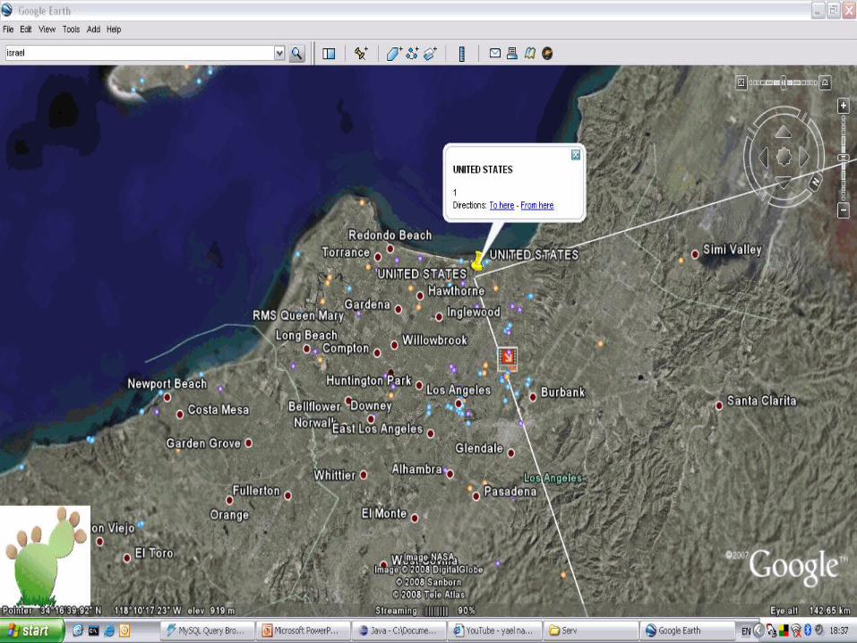
• The project is actually shown on GOOGLE EARTH.(the routing places that the packets do from point to point).

How It Really Build…
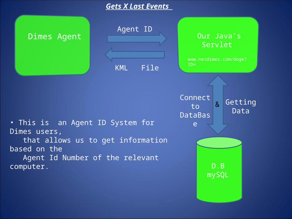
Dimes AgentAgent ID
Connect to DataBase
Our Java’s Servlet
D.B mySQL
KML File
Gets X Last Events
Getting Data
www.netdimes.com/doge?ID=
• This is an Agent ID System for Dimes users, that allows us to get information based on the Agent Id Number of the relevant computer.
&
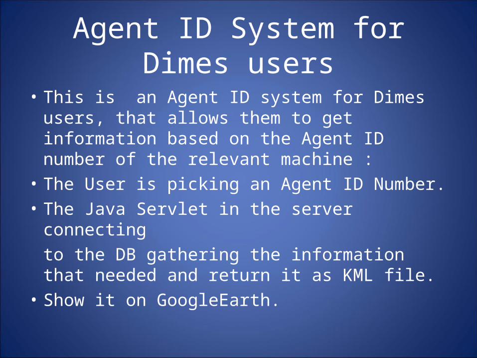
Agent ID System for Dimes users
• This is an Agent ID system for Dimes users, that allows them to get information based on the Agent ID number of the relevant machine :
• The User is picking an Agent ID Number.• The Java Servlet in the server connecting
to the DB gathering the information that needed and return it as KML file.
• Show it on GoogleEarth.

User In The
Internet
User Choise
Connect to DataBase
Our Java’s Servlet
D.B mySQL
KML File
Gets Routes Between IP/CITY
Getting Data
www.netdimes.com/doge?ID=
&
Doge Sitewww.DOGE.net
AJAX Technology
city’s option
User choice can be :• IP. • City’s.
www.DOGE.net
GoogleEarth

How It Really Works…

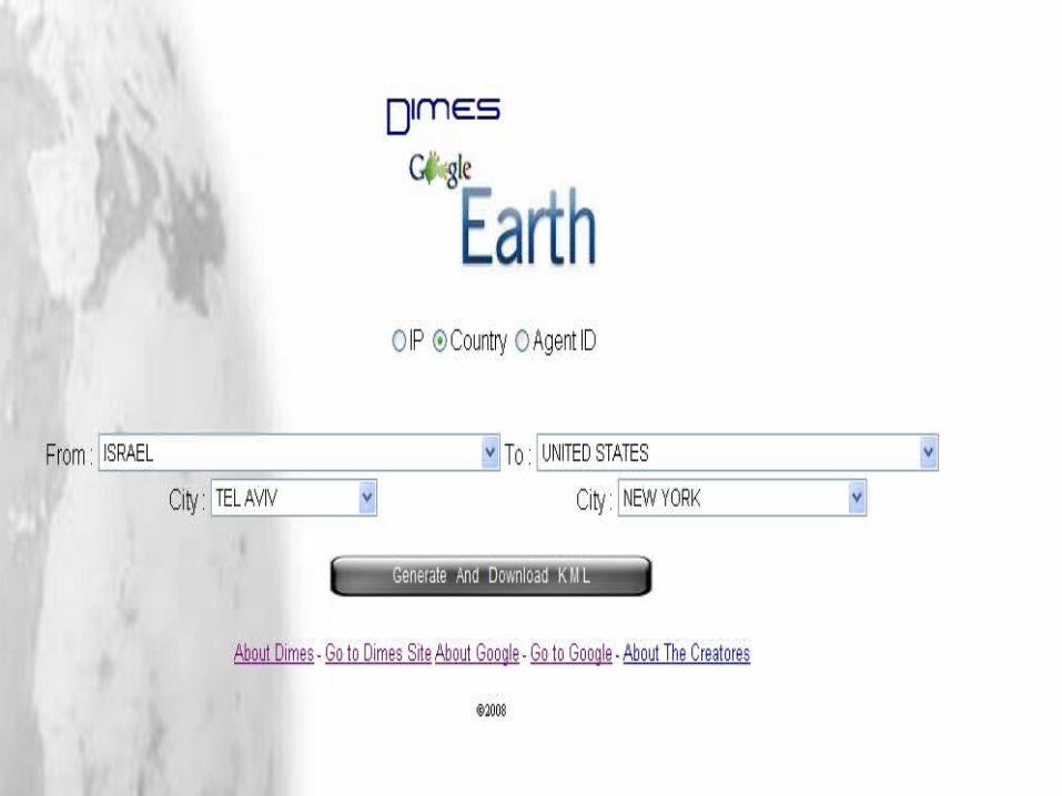
Web Site Doge
• Actually we have an html page that allows the user from the internet, get information.
• The User have an interface and need to choose the Routes options Between :
• IP’s.• City’s.• Agent ID.**Each option have his own procedure…

• Choosing an IP .• The site is sending the information to the
servlet.• The servlet is gathering information from the
DB and returns the user KML file.• Show it on GoogleEarth
IP

• Choosing a Country- to minimized time on the query we did an AJAX file that brings all the city’s in the specified country.
• Choosing a city.• The site is sending the information to the
servlet.• The servlet is gathering information from the
DB and returns the user KML file.• Show it on GoogleEarth
City’s
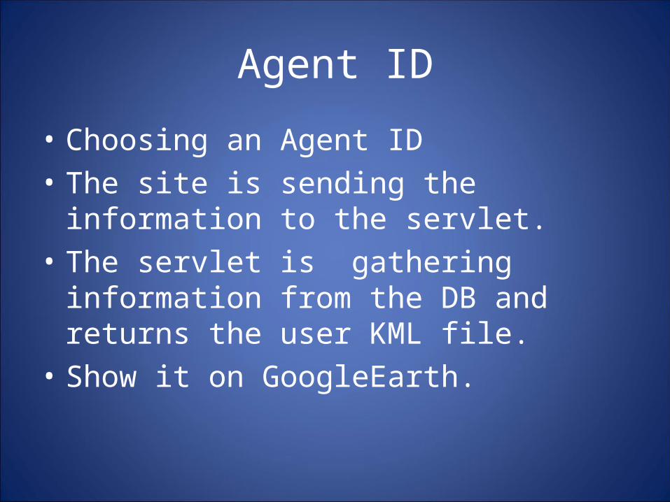
• Choosing an Agent ID • The site is sending the information to the
servlet.• The servlet is gathering information from the
DB and returns the user KML file.• Show it on GoogleEarth.
Agent ID

There are calc’s that provide us to determine :
1.Color of the route.(single route)
2.Width of the line. (single route)
Group of routes.

Color of route
• The color of the route is determine by the Average of 2 things:1. The real distance between start point To end point .
2. The actually distance that the packet did from start to end.

Width of line
• The width of the line is determine by the Average of 2 things :1. the average time that take the packet to get
from start point to end point as shown in the internet.
2. the actually time that the packet get from start point to end point.
Group of routes
• When we have group of routes we are making an average of 2 things:
• 1. checking the distance between start point to end point as shown in the internet.• 2. checking the actually distance that the packet did.

Some Examples…

Dimes DB…

Dot 8
Dot 9
Every dot show the routing from point to point.
And the specific data for it.