Embed Size (px)
Citation preview
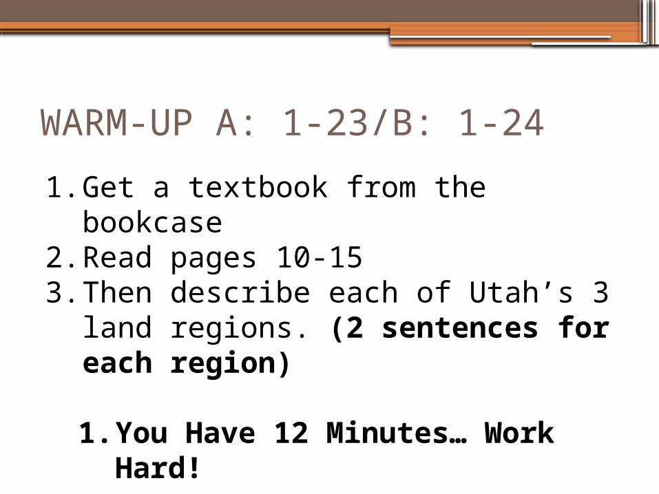
WARM-UP A: 1-23/B: 1-24
1. Get a textbook from the bookcase2. Read pages 10-153. Then describe each of Utah’s 3 land
regions. (2 sentences for each region)
1. You Have 12 Minutes… Work Hard!
UTAH HISTORYUnit 1-Becoming a Utah Historian
By the end of today I can say…
•I can read and understand how to use a variety of maps. (physical maps, political maps, road maps, thematic maps)
•I can identify the three clues to understanding a map.
•I can label Utah’s 29 counties on a map
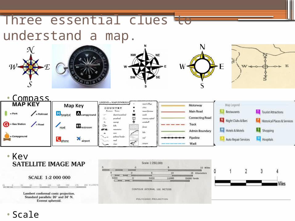
Three essential clues to understand a map.
• Compass
• Key
• Scale
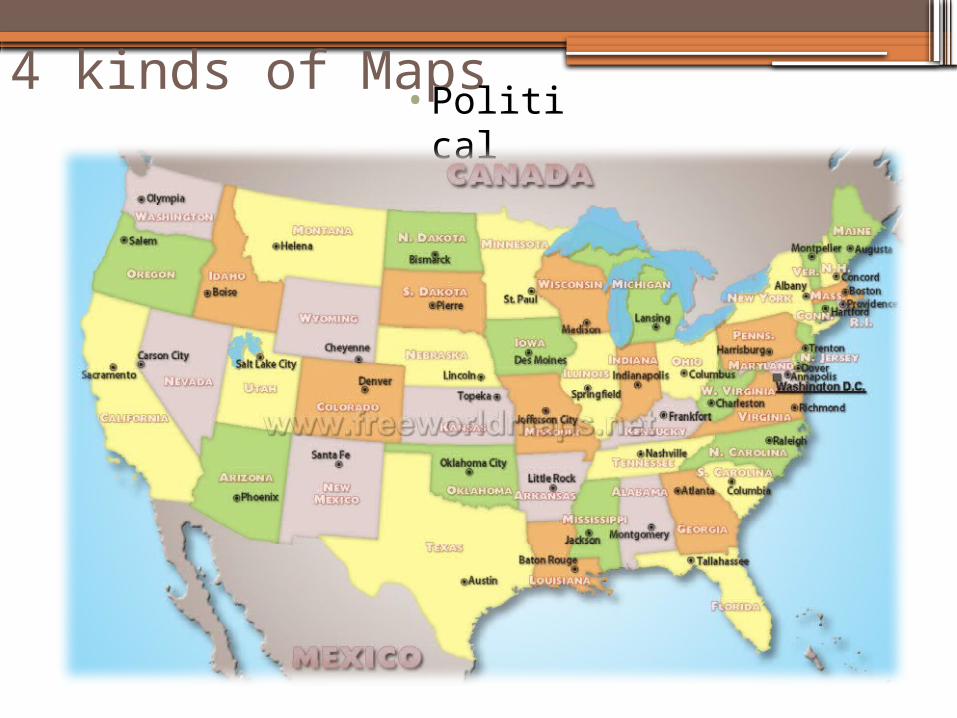
4 kinds of Maps•Politica
l
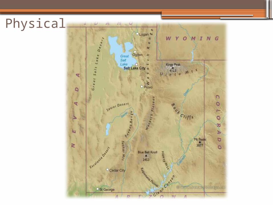
Physical
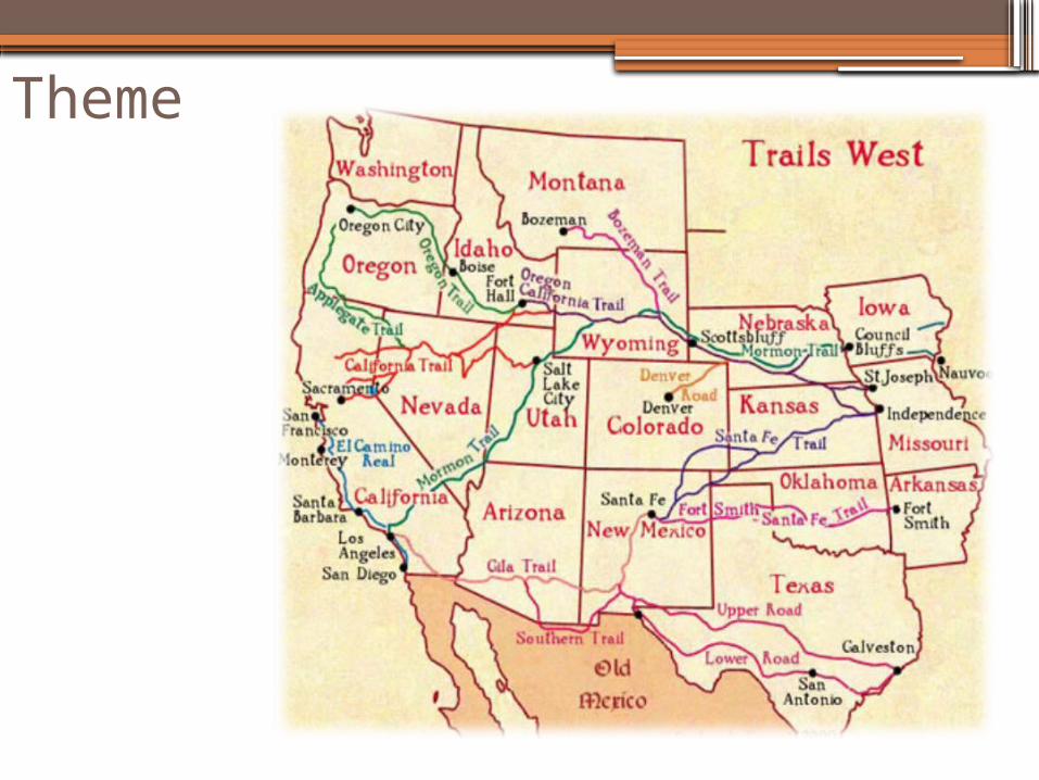
Theme
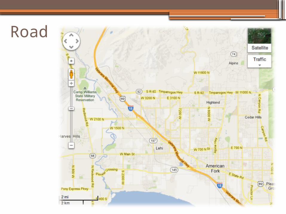
Road
Review
•What is the purpose of a political map?•What is the purpose of a physical map?•What is the purpose of a theme map?•What is the purpose of a road map?•What are the three essential clues to
understanding a map and what is the purpose of each?
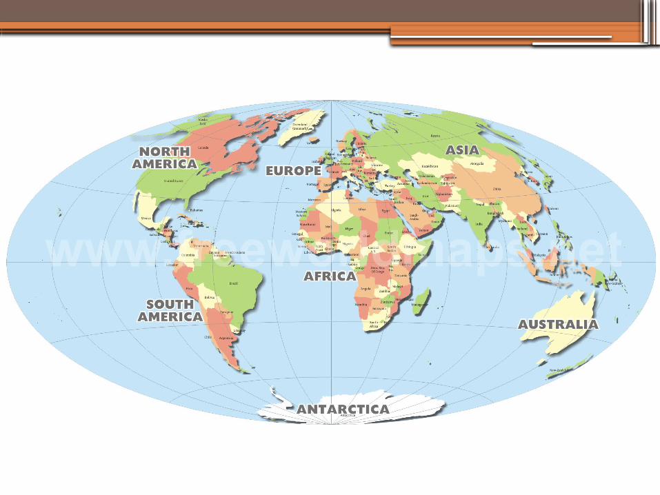
•Can you find the US on the following map? What color is it?
29-6-5-4-3-2-1
•What it means
•How to remember
•Break it down
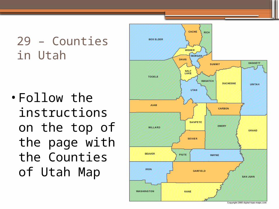
29 – Counties in Utah
• Follow the instructions on the top of the page with the Counties of Utah Map
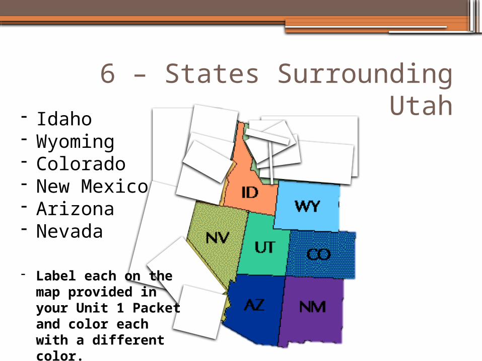
6 – States Surrounding Utah- Idaho- Wyoming- Colorado- New Mexico- Arizona- Nevada
- Label each on the map provided in your Unit 1 Packet and color each with a different color.
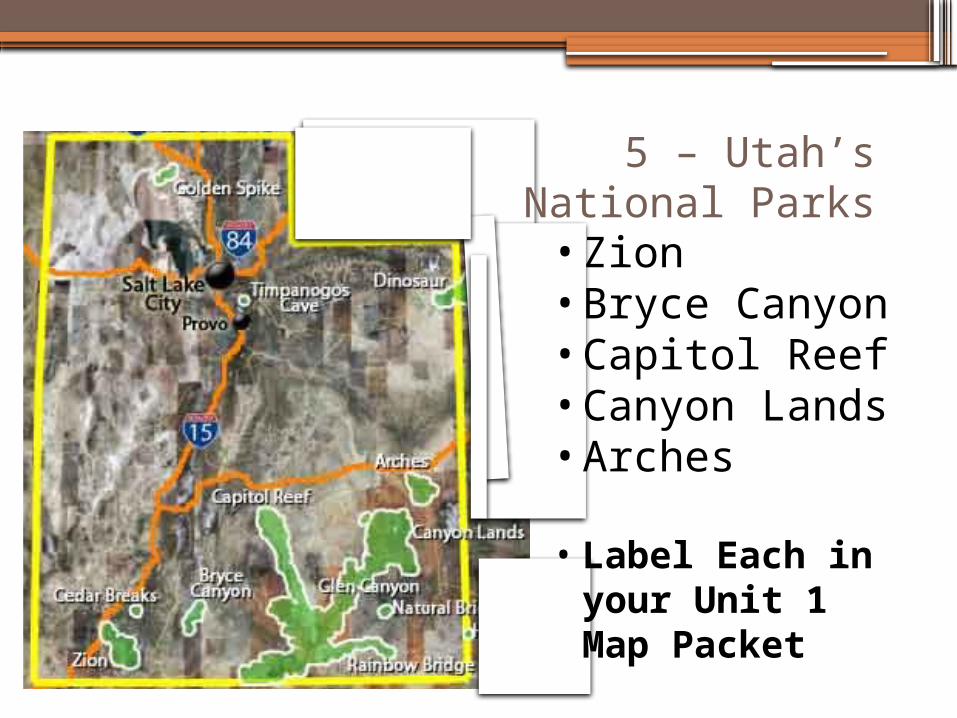
5 – Utah’s National Parks
• Zion• Bryce Canyon• Capitol Reef• Canyon Lands• Arches
• Label Each in your Unit 1 Map Packet
4 – Physical Features of Utah
•Turn to Page 25 in the textbook
•Find 4 Physical Features (mountains, etc.) in Utah and label them in their correct location on the map provided in your Unit 1 Packet.
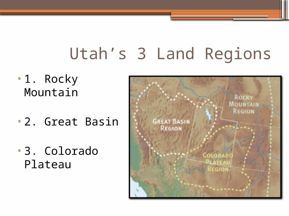
Utah’s 3 Land Regions•1. Rocky
Mountain
•2. Great Basin
•3. Colorado Plateau
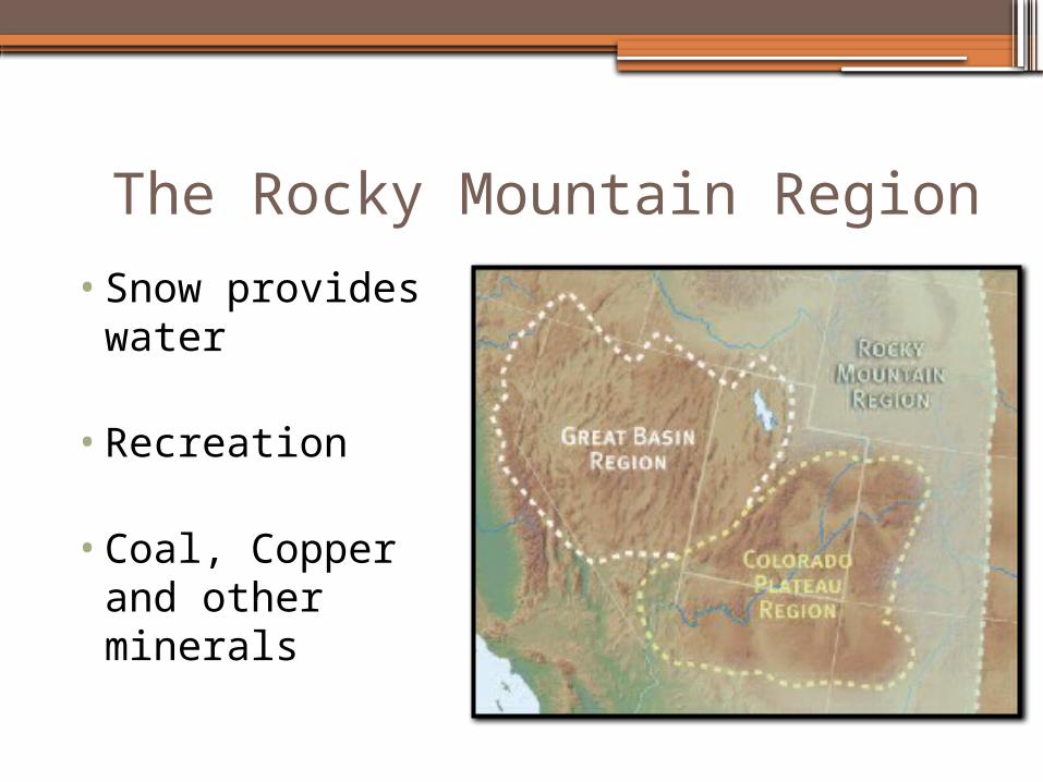
The Rocky Mountain Region
•Snow provides water
•Recreation
•Coal, Copper and other minerals
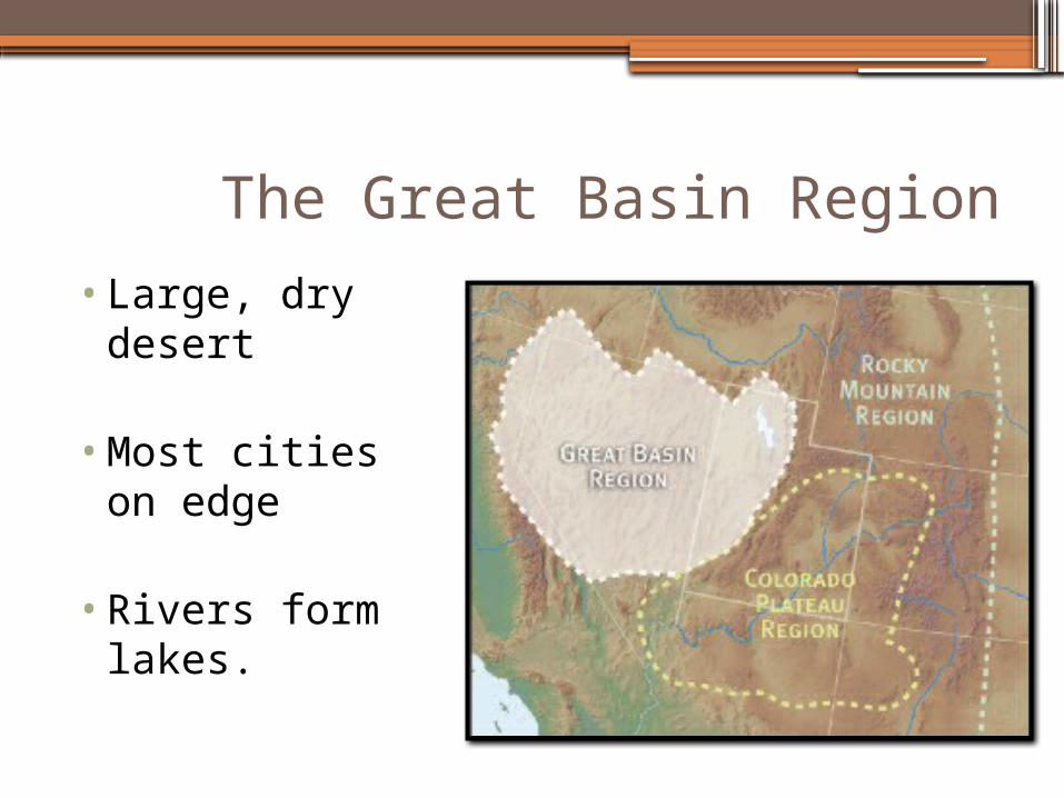
The Great Basin Region
•Large, dry desert
•Most cities on edge
•Rivers form lakes.
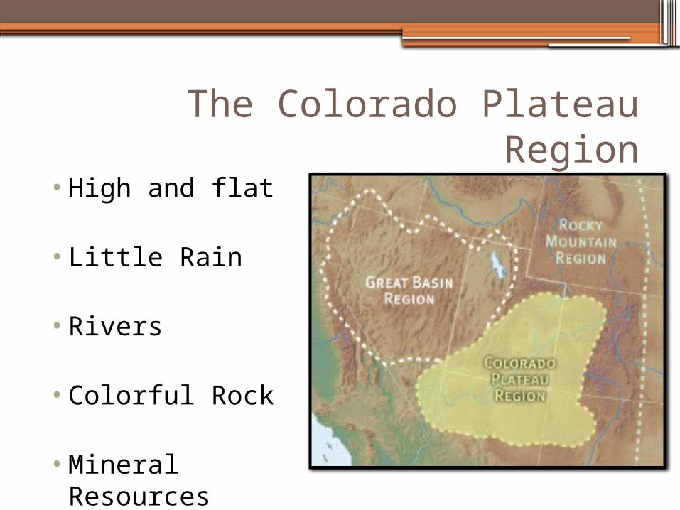
The Colorado Plateau Region
•High and flat
•Little Rain
•Rivers
•Colorful Rock
•Mineral Resources
2 – Cities in Your County (Utah)
•Saratoga Springs•Eagle Mountain•Cedar Fort•Lehi•American Fork•Pleasant Grove•Lindon
•Orem•Provo•Alpine•Highland•Springville•Spanish Fork•Payson
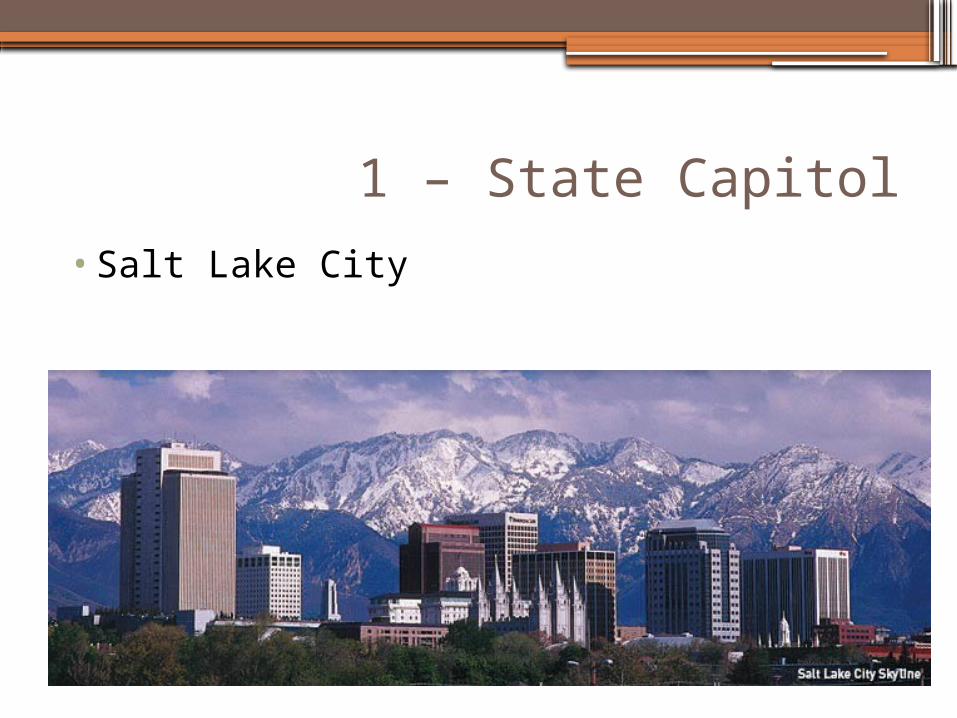
1 – State Capitol
•Salt Lake City