Embed Size (px)
Citation preview
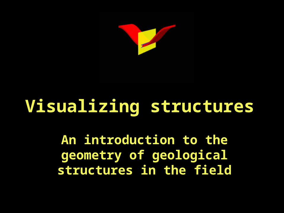
Visualizing structures
An introduction to the geometry of geological structures in the field
Goals
• To familiarize you with the 3-dimensionality of geological structures in the field
• Provide you with simple rules to use in geologic mapping of structures
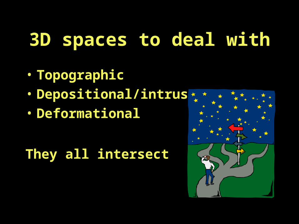
3D spaces to deal with
• Topographic
• Depositional/intrusive
• Deformational
They all intersect

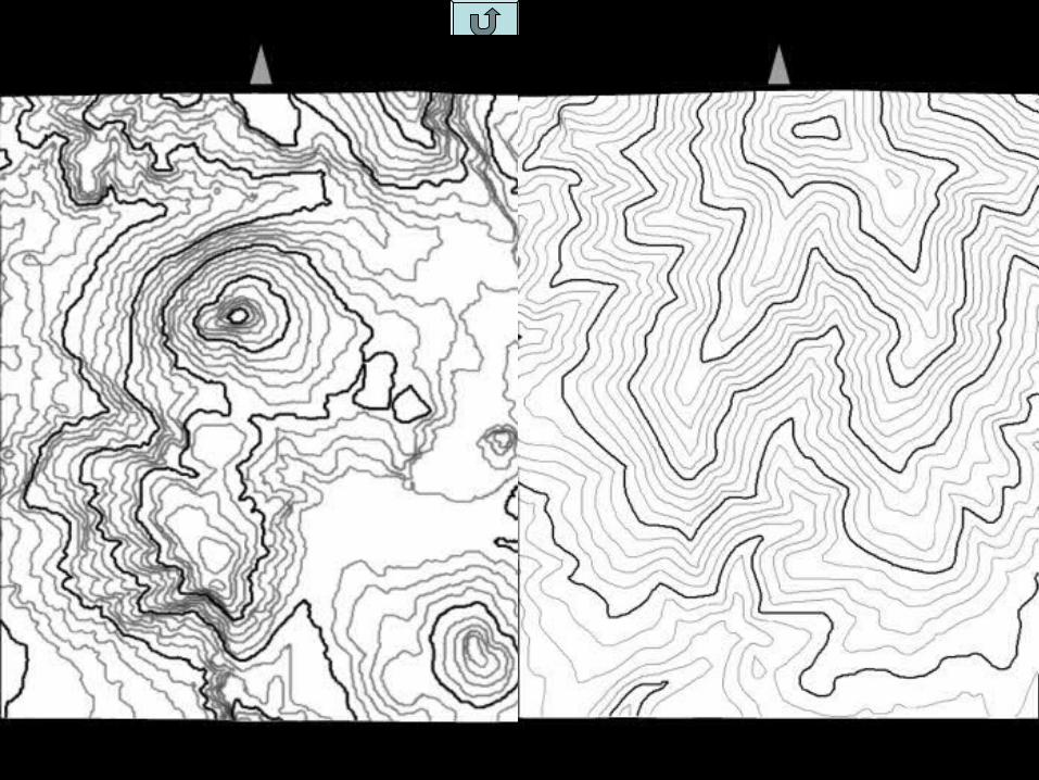
Shaded
Non-shaded
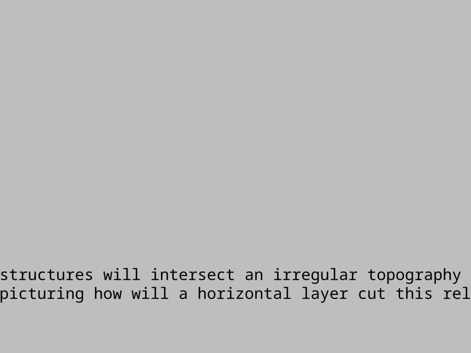
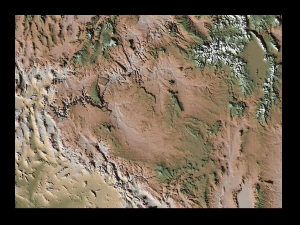
Any structures will intersect an irregular topographyTry picturing how will a horizontal layer cut this relief

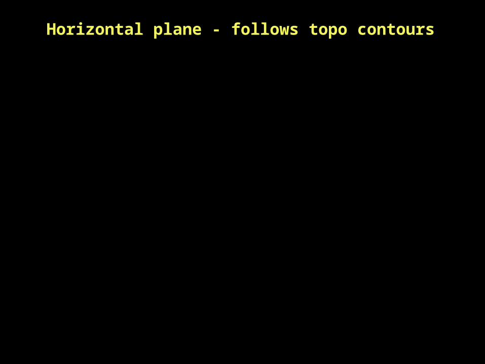
Horizontal plane - follows topo contours
• Let us now put the real topography aside and step into the realm of “primary” geologic structures - layering of sedimentary units, intrusions, viewed in an idealized 3D framework


Complicating the issue a little bit…
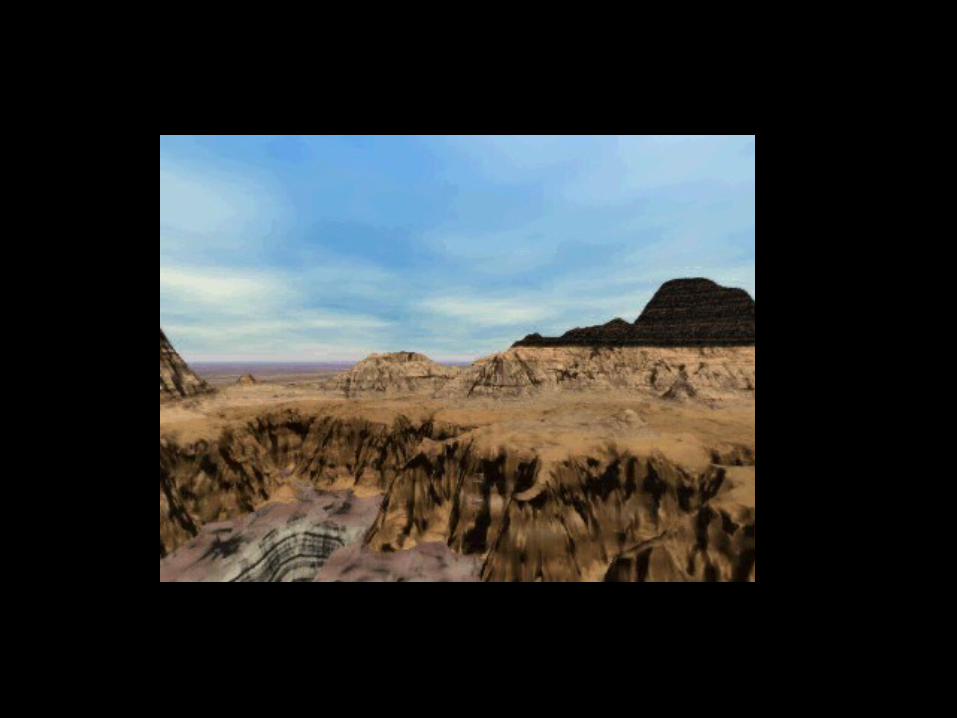
Unconformity, what is it?


Possible scenario: Deposition, erosion, deformation, new deposition
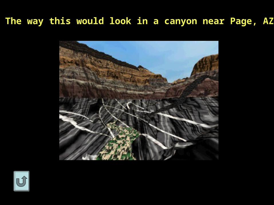
The way this would look in a canyon near Page, AZ

Igneous intrusions

Structures on block diagrams

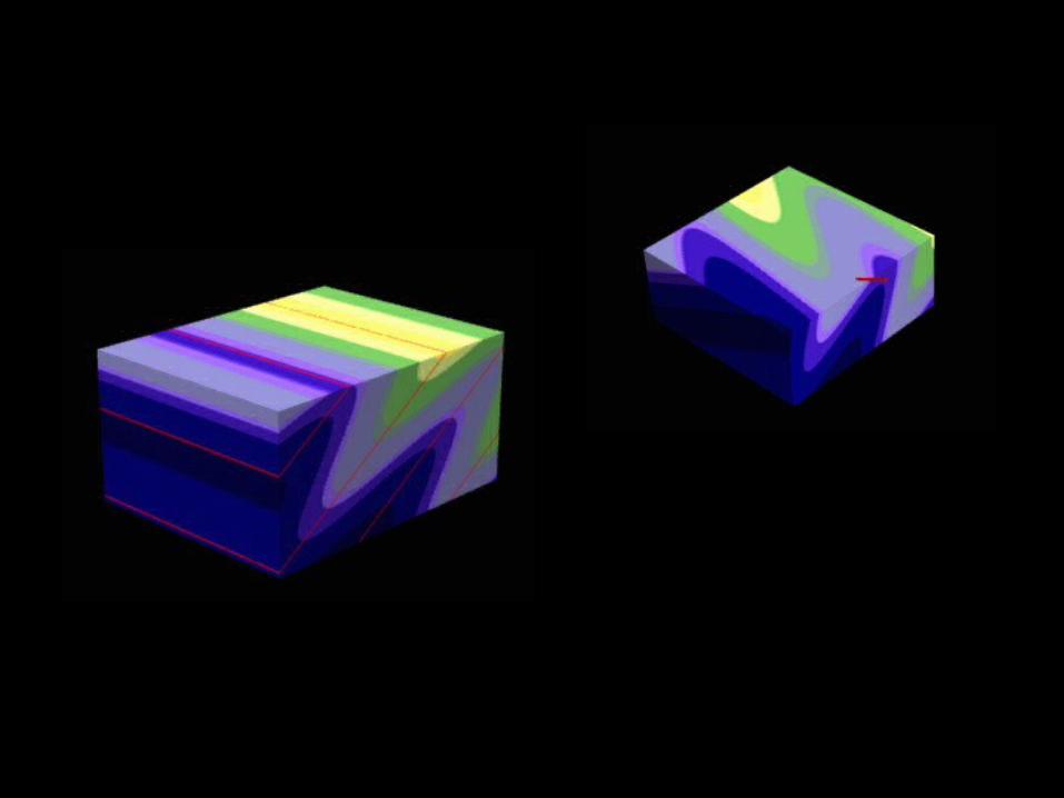
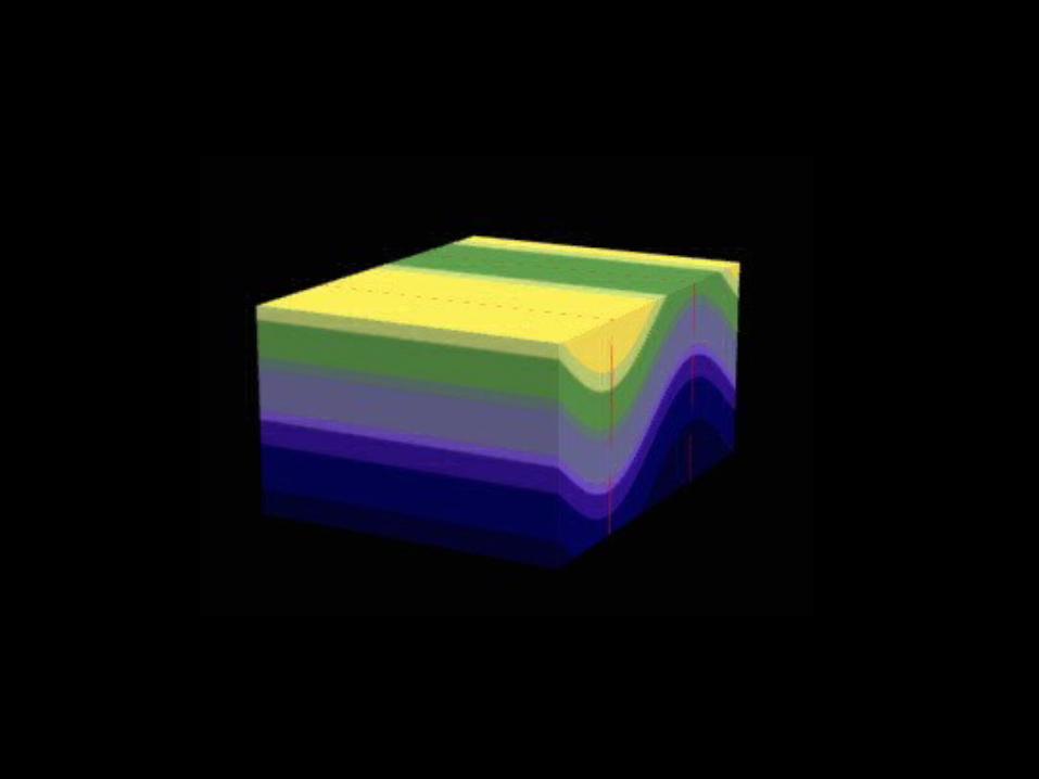
• Let us know try to drape structures onto topography and come up with some simple rules for the way they will plot on maps.
To keep things simple for now, I will deal mainly with planes and not with lines.
So what can a plane be? A bed, a fault, a dike, a sill an unconformity, anything that is planar.
The simplest scenario: a horizontal bed
Horizontal beds (a’la water line)
Some shallow tilt of a plane


Rule of v’s
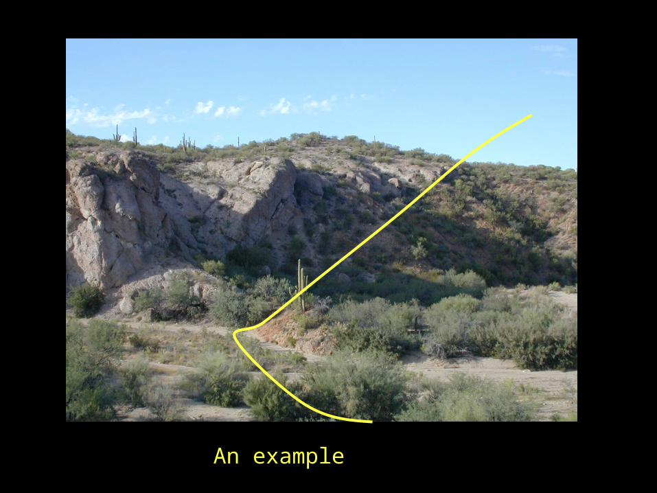
An example
• So then what is a geological map?
An overlay of geologic structures (e.g. like the planes shown here on the 2D topographic map). Let’s take a look.
QuickTime™ and aPhoto - JPEG decompressor
are needed to see this picture.
Tucson Mts.


Cross-sections
Remember
• The 3 spaces you deal with: topo, primary structures and deformational (secondary) structures);
• Rule of v’s, overall topography/structure intersections of any planes
• A structure looks very different depending from where you look at it!