Embed Size (px)
Citation preview
Using GIS For Middle School Lessons About Streams and Watersheds
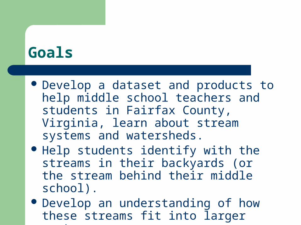
Goals
Develop a dataset and products to help middle school teachers and students in Fairfax County, Virginia, learn about stream systems and watersheds.
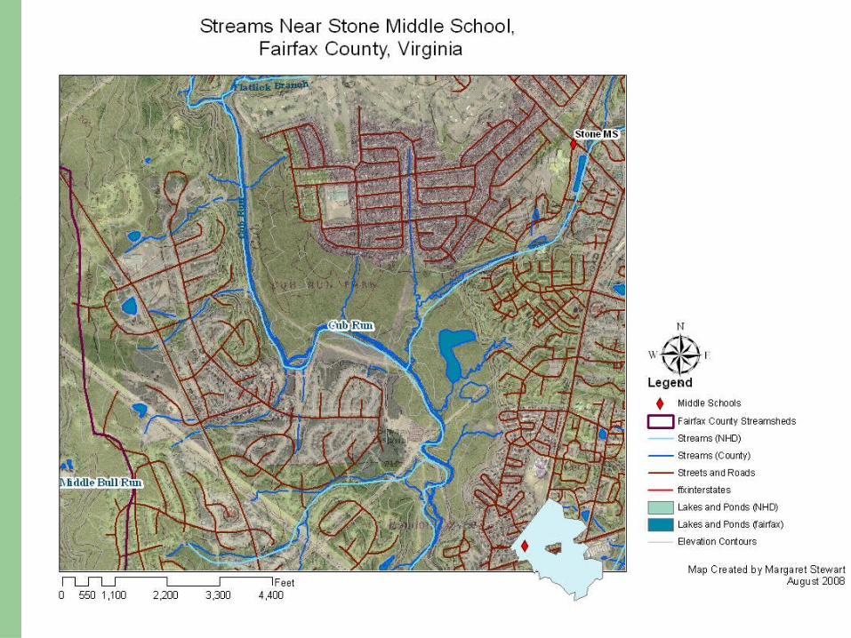
Help students identify with the streams in their backyards (or the stream behind their middle school).
Develop an understanding of how these streams fit into larger systems.
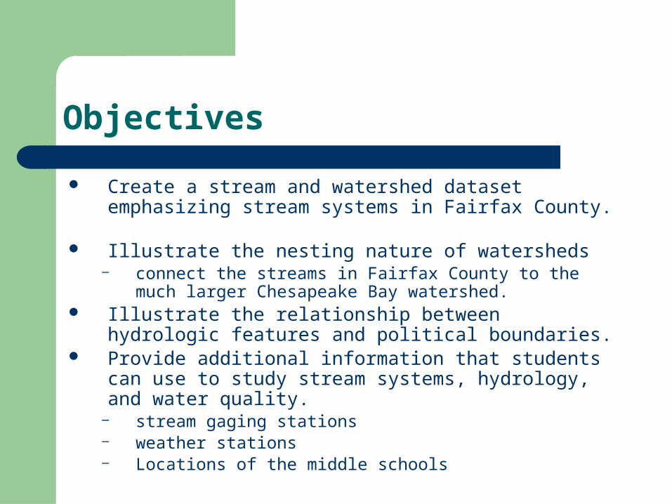
Objectives
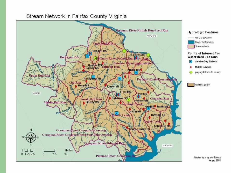
Create a stream and watershed dataset emphasizing stream systems in Fairfax County.
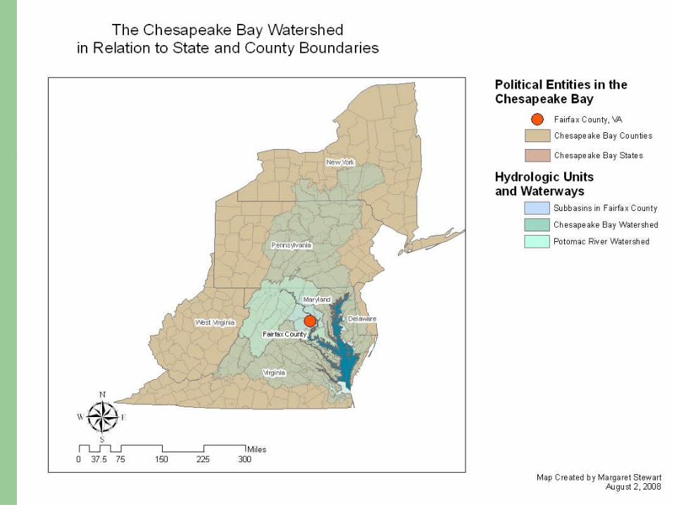
Illustrate the nesting nature of watersheds– connect the streams in Fairfax County to the much larger
Chesapeake Bay watershed. Illustrate the relationship between hydrologic features and
political boundaries. Provide additional information that students can use to study
stream systems, hydrology, and water quality.– stream gaging stations – weather stations – Locations of the middle schools
Principal Data Sources
Hydrography: U.S. Geological Survey, Reston, Virginia. National Hydrography
Dataset. Virginia Department of Conservation and Recreation Fairfax County Government
Schools and Weather Stations Fairfax County Public Schools (Virginia). WeatherBug and WJLA Channel 7 (Weatherbug weather cameras and
weather stations). StreetMapsUSA
Gaging Stations U.S. Geological Survey, Reston, Virginia. National Water Information
Service. http://waterdata.usgs.gov/nwis
Techniques Used
Extraction of subsets of data and dissolving shapefiles to identify specific watersheds and basins
Reprojection of data to NAD Virginia State Plane North FIPS 4501
Geocoding Hyperlinks Color coding (browns for political jurisdictions, blues and
greens for hydrographic data, and using transparent layers Setting variable display and label scales for different layers Liberal use of the description field in layer properties Personal Geodatabase Generation of four map products to depict lessons of scale
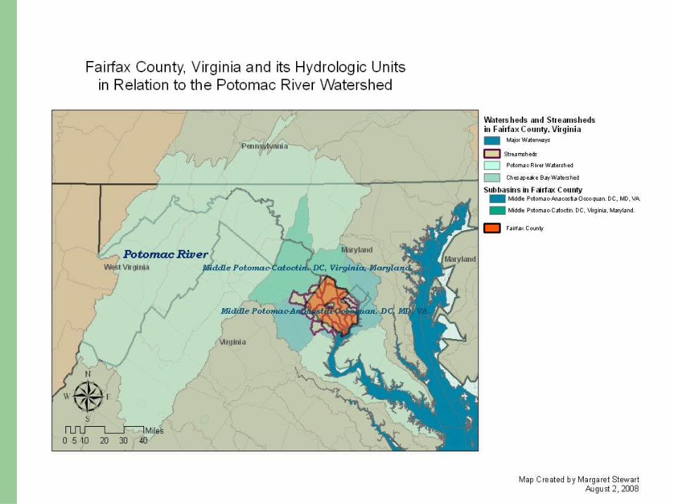
Watershed Hierarchy
Watersheds selected that connect directly with the streamsheds in Fairfax County:– The Chesapeake Bay – The Potomac River Basin– The Two Middle Potomac basins on which the
county sits– Fairfax County streams and streamsheds
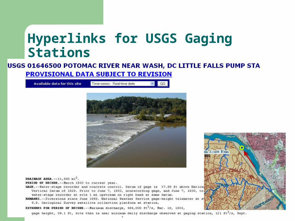
Hyperlinks for USGS Gaging Stations
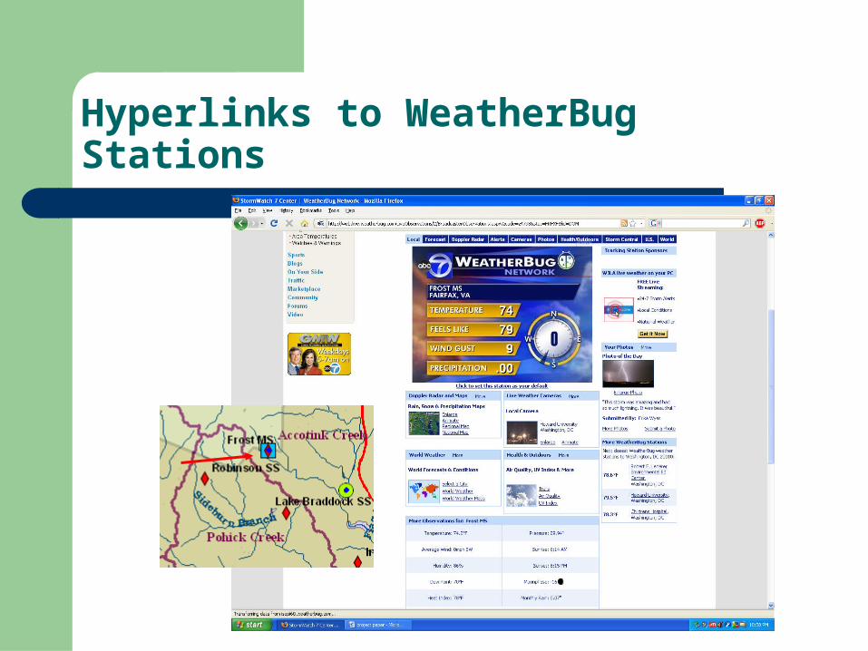
Hyperlinks to WeatherBug Stations
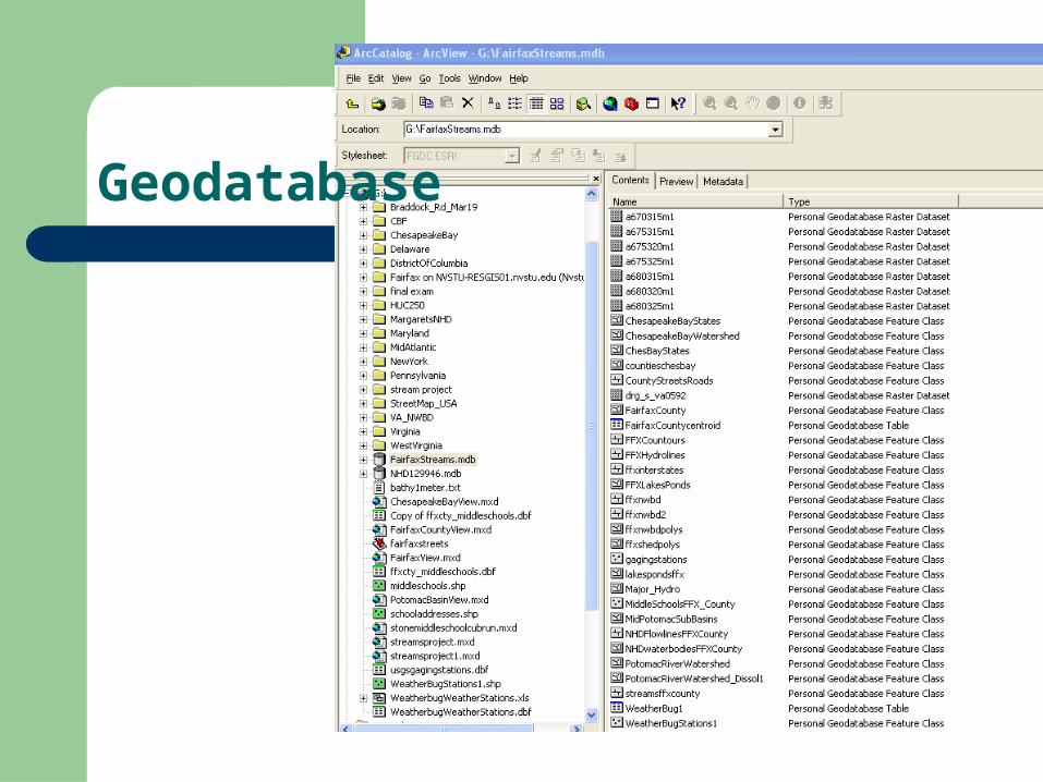
Geodatabase
Ideas for Building on to this Project
Basic Work: Add topology to the stream network Add soils information Add more information on the larger waterbodies and
mainstem of the BayAnalytical Projects: Model stream flow and sediment transport during
storm eventsFor students: Conduct stream sampling experiments and add data
to database.
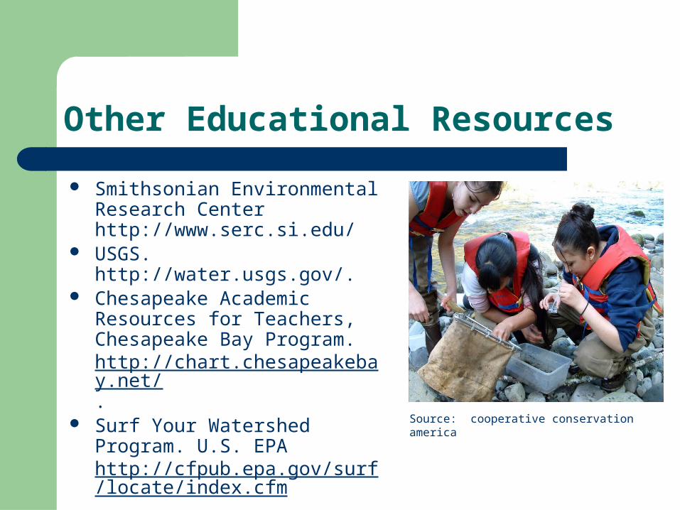
Other Educational Resources
Smithsonian Environmental Research Center http://www.serc.si.edu/
USGS. http://water.usgs.gov/. Chesapeake Academic
Resources for Teachers, Chesapeake Bay Program. http://chart.chesapeakebay.net/.
Surf Your Watershed Program. U.S. EPA http://cfpub.epa.gov/surf/locate/index.cfm.
Source: cooperative conservation america