Embed Size (px)
Citation preview
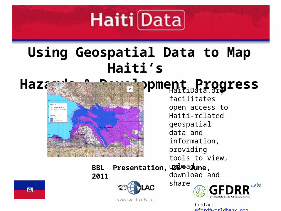
Using Geospatial Data to Map Haiti’s Hazards & Development Progress
HaitiData.org facilitates open access to Haiti-related geospatial data and information, providing tools to view, upload, download and share.
Contact: [email protected]
BBL Presentation, 28th June, 2011
2
Empowering Data Use
• Following the January 2010 earthquake a large amount of data has been produced
• Site responds to need for data sharing for improved analysis & decision making
• Strong link to the Open Risk Data Initiative (ORDI) – encouraging sharing of risk data for improved risk reduction, policy & action
• Open source software, open standards, focus on providing good quality metadata - for sustainability
3
Why Open Risk Data in HaitiOpen data means: • More people can view, use, critique, analyze, model• Explore critical assumptions; test methodologies; generate
insights• Lower barriers to collaboration & knowledge-based decision
making• Increase innovation, learning, motivation amongst teams
Open data can increase the amount, quality, and speed of exchange of information, and enhance the goodwill to share and innovate.
4
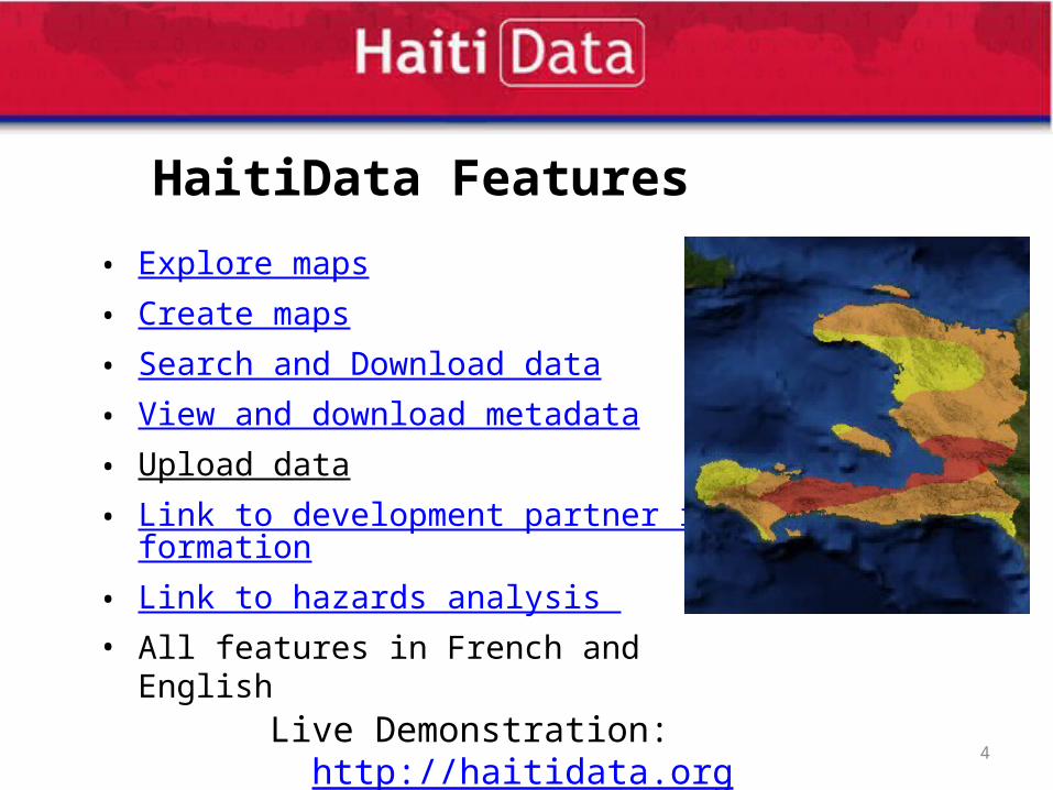
HaitiData Features
• Explore maps• Create maps• Search and Download data• View and download metadata• Upload data • Link to development partner information• Link to hazards analysis • All features in French and English
Live Demonstration: http://haitidata.org
5
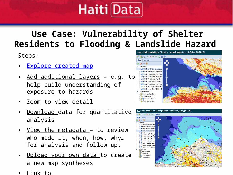
Use Case: Vulnerability of Shelter Residents to Flooding & Landslide Hazard
Steps:
• Explore created map
• Add additional layers – e.g. to help build understanding of exposure to hazards
• Zoom to view detail
• Download data for quantitative analysis
• View the metadata – to review who made it, when, how, why… for analysis and follow up.
• Upload your own data to create a new map syntheses
• Link to development partner information or hazards analysis to find more info’
6
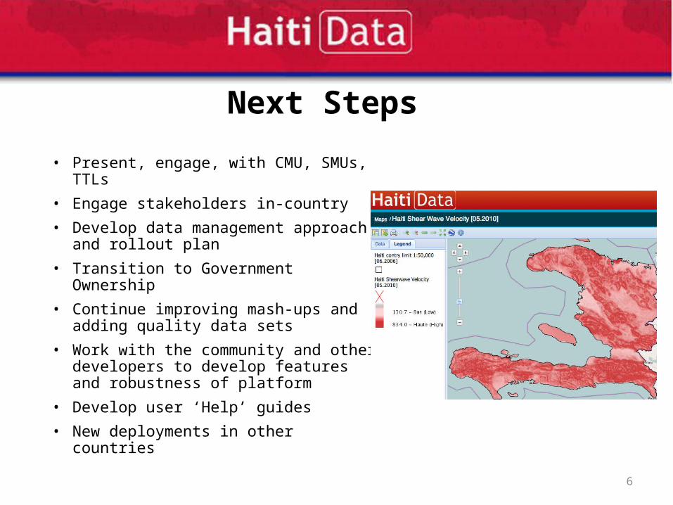
Next Steps
• Present, engage, with CMU, SMUs, TTLs
• Engage stakeholders in-country
• Develop data management approach and rollout plan
• Transition to Government Ownership
• Continue improving mash-ups and adding quality data sets
• Work with the community and other developers to develop features and robustness of platform
• Develop user ‘Help’ guides
• New deployments in other countries
7
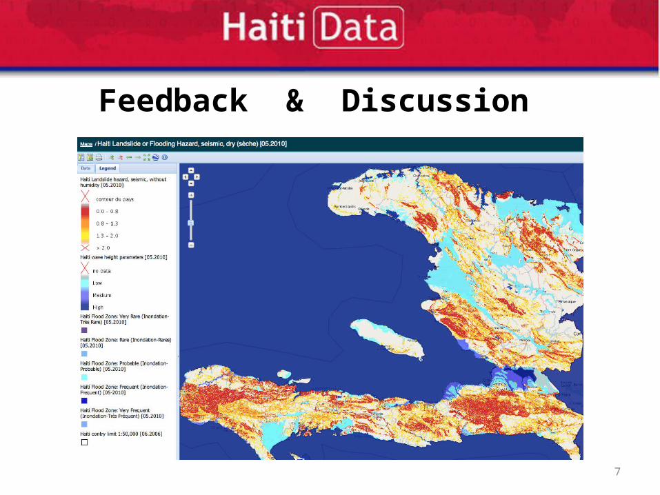
Feedback & Discussion