Embed Size (px)
Citation preview
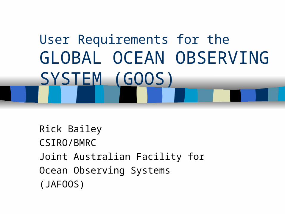
User Requirements for the
GLOBAL OCEAN OBSERVING SYSTEM (GOOS)
Rick Bailey
CSIRO/BMRC
Joint Australian Facility for
Ocean Observing Systems
(JAFOOS)
Contents:
Global Ocean Observing System (GOOS)
Global Ocean Data Assimilation Experiment (GODAE)
Australian Ocean Observing System (AOOS)
Summary of data/user requirements
Personal Perspective?
Scientific analysis, implementation, and the development of products and services associated with specific in-situ observing systems.
GOOS
Goals:
– To specify the marine observational data required to meet the needs of the world community of users of the oceanic environment;
– To develop and implement an international coordinated strategy for the gathering, acquisition and exchange of these data;
– To facilitate the development of products and services based on the data and widen their application in the use and protection of the marine environment;
– To facilitate the means by which less-developed nations can increase their capacity to acquire and use marine data according to the GOOS framework;
– To coordinate the ongoing operations of the GOOS and ensure its integration within wider global observational and environmental management strategies.
GOOS
Initial Observing System (IOS):
– The operational ENSO Observing System in the tropical Pacific, including the Tropical Atmosphere Ocean (TAO) array of buoys.
– Meteorological measurements from the Voluntary Observing Ship (VOS) network of the WMO.
– Upper ocean measurements of the Ship of Opportunity Programme (SOOP).
– Fixed and drifting buoys coordinated by the Data Buoy Cooperation Panel (DBCP).
– The Global Sea Level Observing System (GLOSS) network of tide gauges. – The Global Coral Reef Monitoring Network (GCRMN).– Ocean observations from the operational satellites of NOAA and other
entities………...
GOOS
– The Continuous Plankton Recorder (CPR) programme .
– The ICES International Bottom Trawl Survey (IBTS) of the North Sea.
– Time Series Station 'S' off Bermuda.
– Time Series Station Bravo in the Labrador Sea.
– The Global Telecommunications System (GTS) of the WMO.
– The Global Data Centre of the US National oceanic and Atmospheric Administration (NOAA).
– The Global Temperature and Salinity Profile Programme (GTSPP).
GOOS
Other contributions to the GOOS-IOS, include:
– Selected ocean observing satellite missions.
– The US PORTS programme.
– Appropriate parts of the IOC Intergovernmental Oceanographic Data Exchange (IODE) programme .
– Appropriate components of national observing systems (e.g. US Sea Ice Centre)
– Appropriate commercial observing systems (e.g. oil platforms)
– The international Mussel Watch programme
– Appropriate parts of the IOC's Harmful Algal Bloom (HAB) programme.
GOOS
Data and Information Management:
– GOOS is building on a number of past initiatives in managing data on a global scale for the purpose of providing environmental information to a wide range of users.
– To meet the requirements of all users, GOOS will provide for:• all pertinent data and products to be identified and made available to those
adding value
• international communication networks and efficient, standard formats and codes to make best use of them
• Advanced quality control and validation systems
• generation of high level products
• archival methods that retain the value of historical data
• an integrated international data base
GOOS
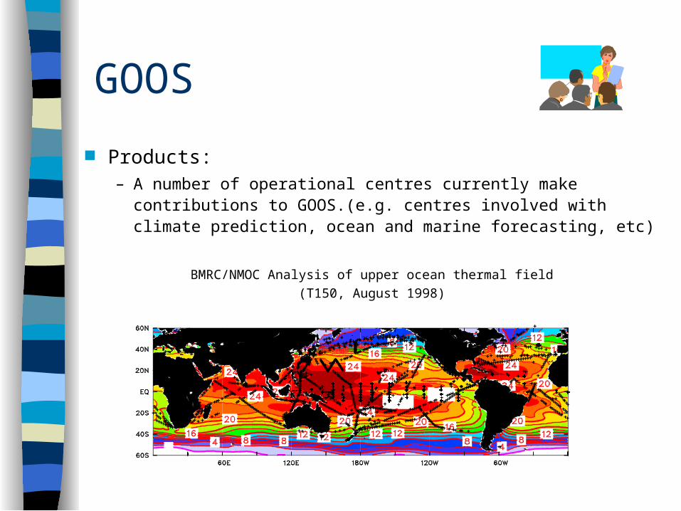
Products:– A number of operational centres currently make contributions to
GOOS.(e.g. centres involved with climate prediction, ocean and marine forecasting, etc)
BMRC/NMOC Analysis of upper ocean thermal field
(T150, August 1998)
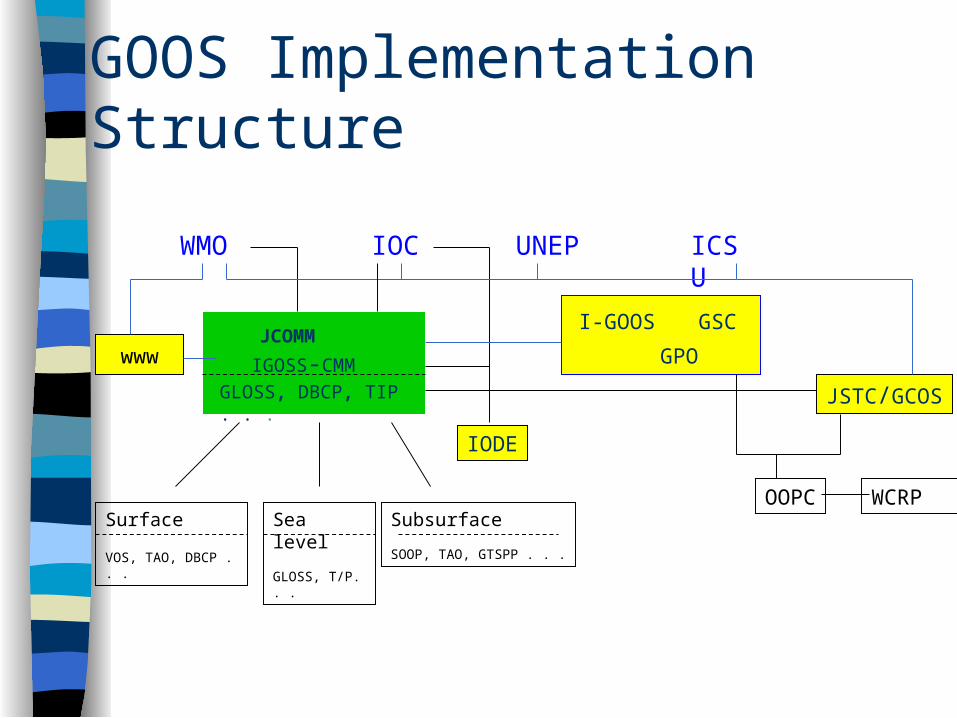
GOOS Implementation Structure
WMO
IOC UNEP ICSU
www
I-GOOS GPO
GSCJCOMM
IGOSS-CMM
IODE
JSTC/GCOS
Surface
VOS, TAO, DBCP . . .
Sea level
GLOSS, T/P. . .
Subsurface
SOOP, TAO, GTSPP . . .
GLOSS, DBCP, TIP . . .
OOPC WCRP
GOOS
Pilot Projects:
– NEARGOOS Pilot Project shared by Japan, China, the Republic of Korea and the Russian Federation.
– EuroGOOS regional projects (Arctic, Baltic, Mediterranean, NW Shelf, Atlantic).
– Western Indian Ocean Marine Applications Project (WIOMAP). – Pilot Research Array in the Tropical Atlantic (PIRATA). – Rapid Assessment of Marine Pollution (RAMP) pilot project – Global Ocean Data Assimilation Experiment (GODAE),
including a major profiling float programme called Argo.
Global Ocean Data Assimilation Experiment (GODAE) Fundamental objective:
A practical demonstration of real-time global ocean data assimilation in order to provide a regular, complete depiction of ocean circulation at time scales of a few days, space scales of several tens of kilometres, and consistent with a suite of remote and direct measurements and appropriate dynamical and physical constraints.
Global Ocean Data Assimilation Experiment (GODAE) Associated objectives:
– Provision of suitable oceanic boundary conditions for regional applications such as coastal ocean prediction systems;
– Provide a description of the ocean circulation and physics upon which more specialised systems, such as biological models, can be developed and tested
– Provide a foundation for hypothesis testing, process studies and further experimentation, much commonplace in numerical weather prediction today;
Global Ocean Data Assimilation Experiment (GODAE)…..associated objectives (cont.):
– Provide initial conditions for climate predictions and analyses for validation of climate simulations;
– Provide a unifying target for various research enterprises (observational, theoretical and modelling) over the coming years; and
– Provide a method for systematic handling, quality control and scientifically consistent interpretation (analysis) of additional data sets such as those from process studies and arising from incidental exploration.
Global Ocean Data Assimilation Experiment (GODAE) Data requirements:
– Any degradation in the availability of remotely sensed data would seriously compromise both the development and implementation of GODAE.
– Continuity of data streams is essential, especially for operational demonstrations.
– Ability to identify the utility and availability of data sets to GODAE is important.
– Compatibility of data sets to facilitate use and integration.– Timeliness of delivery (e.g. real-time products for real-time
applications).
Global Ocean Data Assimilation Experiment (GODAE) Components (of equal value and to be integrated):
– Global models of at least eddy-permitting resolution– Variety of space-borne systems
» altimetry» scatterometers» operational meteorological satellites» sea surface temperature» ocean colour» advanced telemetry and communications
– Global direct (in-situ) ocean observation network» subsurface moorings» merchant vessels» autonomous floats» acoustic thermometry
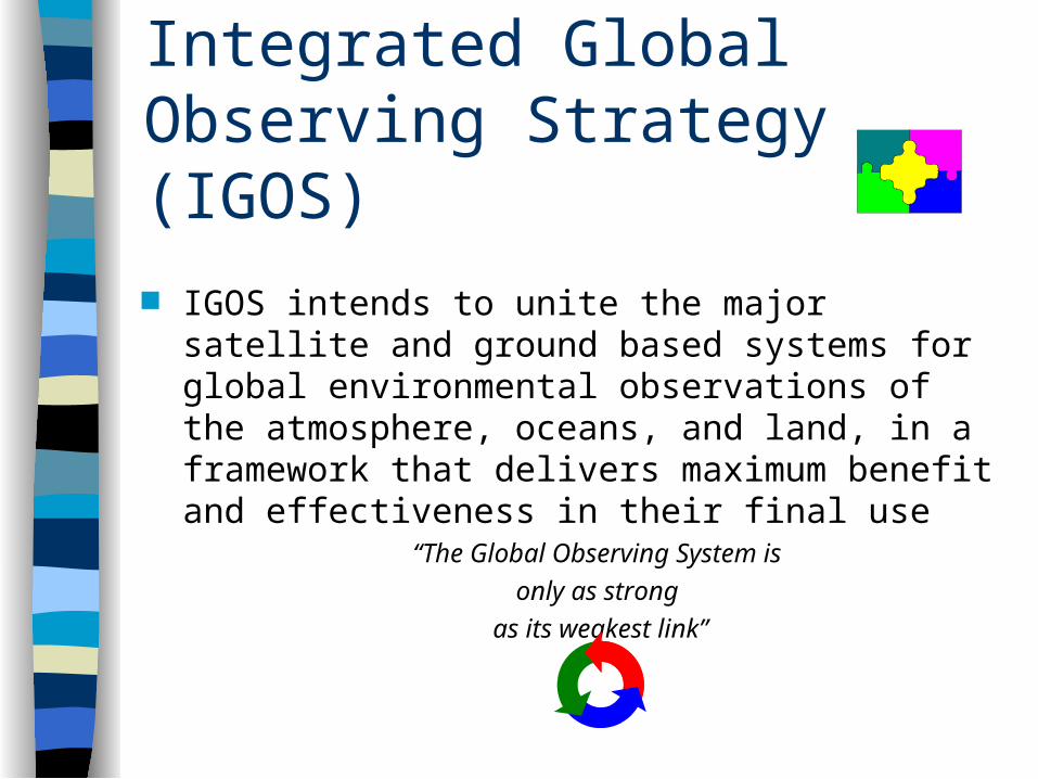
Integrated Global Observing Strategy (IGOS)
IGOS intends to unite the major satellite and ground based systems for global environmental observations of the atmosphere, oceans, and land, in a framework that delivers maximum benefit and effectiveness in their final use
“The Global Observing System is
only as strong
as its weakest link”
Australian Ocean Observing System (AOOS)
Interests and Priorities:
Biodiversity, ecosystems and marine resources in southern temperate and northern tropical waters.
Surveys and inventories of key marine habitats. Monitoring and assessment of change and variability
in the marine environment and coastal zone. Marine services and marine data Ocean and climate monitoring and prediction
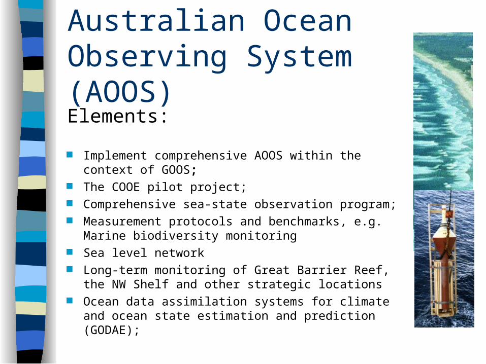
Australian Ocean Observing System (AOOS)Elements:
Implement comprehensive AOOS within the context of GOOS;
The COOE pilot project; Comprehensive sea-state observation program; Measurement protocols and benchmarks, e.g.
Marine biodiversity monitoring Sea level network Long-term monitoring of Great Barrier Reef, the NW
Shelf and other strategic locations Ocean data assimilation systems for climate and
ocean state estimation and prediction (GODAE);
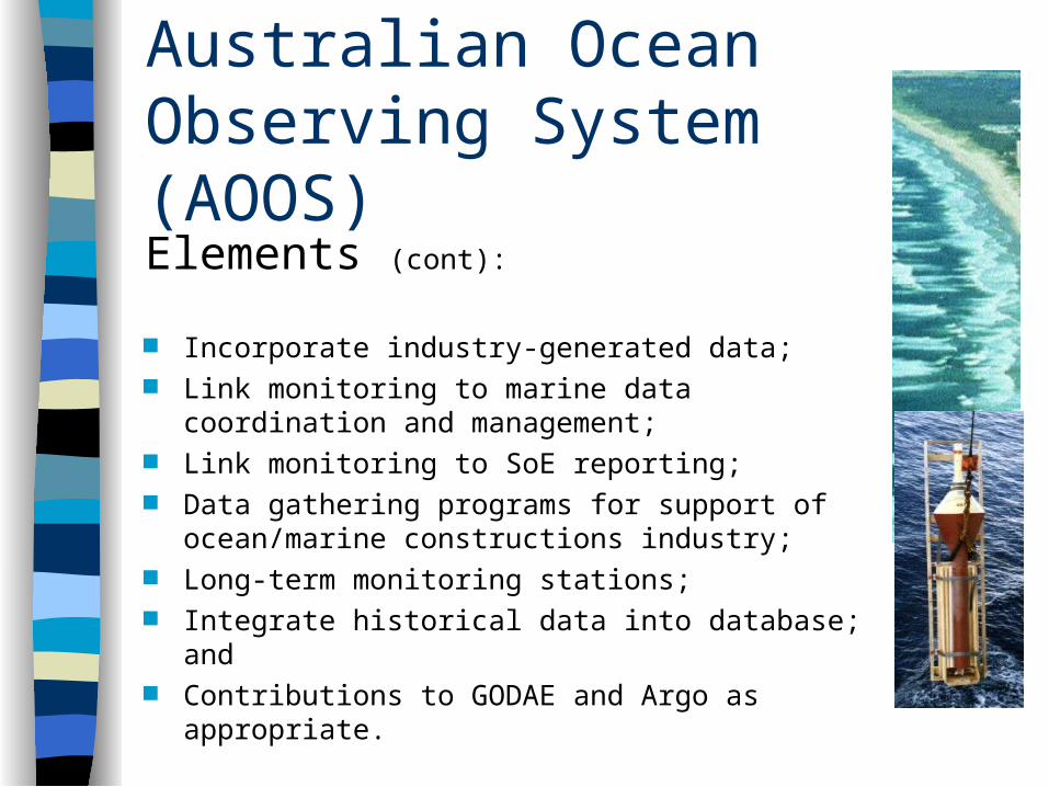
Australian Ocean Observing System (AOOS)Elements (cont):
Incorporate industry-generated data; Link monitoring to marine data coordination and
management; Link monitoring to SoE reporting; Data gathering programs for support of
ocean/marine constructions industry; Long-term monitoring stations; Integrate historical data into database; and Contributions to GODAE and Argo as appropriate.
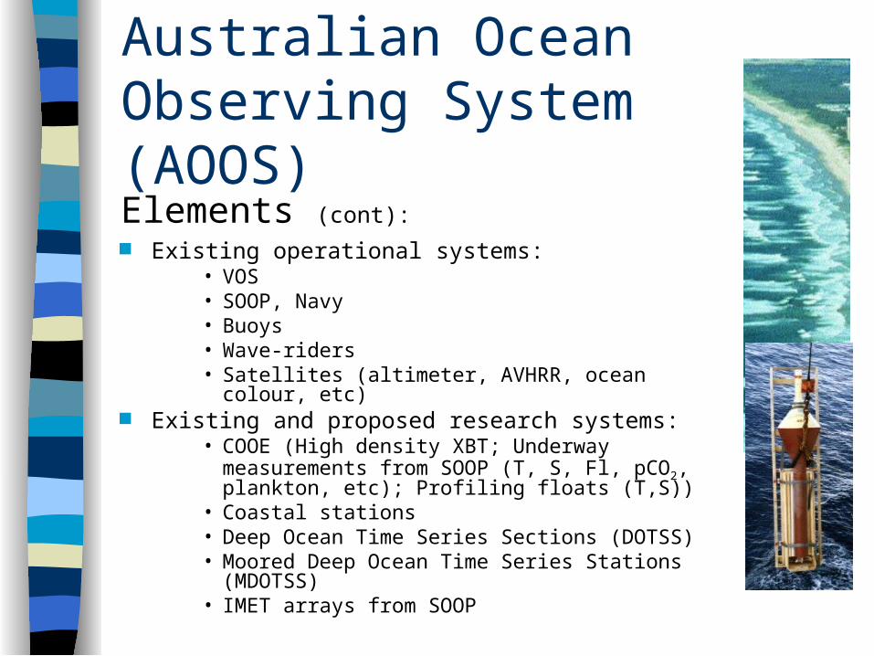
Australian Ocean Observing System (AOOS)Elements (cont): Existing operational systems:
• VOS• SOOP, Navy• Buoys• Wave-riders• Satellites (altimeter, AVHRR, ocean colour, etc)
Existing and proposed research systems:• COOE (High density XBT; Underway
measurements from SOOP (T, S, Fl, pCO2, plankton, etc); Profiling floats (T,S))
• Coastal stations• Deep Ocean Time Series Sections (DOTSS)• Moored Deep Ocean Time Series Stations
(MDOTSS)• IMET arrays from SOOP
Australian Ocean Observing System (AOOS)
Infrastructure Development:
Establishment of a Joint CSIRO/BMRC Australian Facility for Ocean Observing Systems (JAFOOS);
Hosting the International GODAE Project Office; Support for the establishment of an
IOC/GOOS Office in Perth.
GODAE
Australian Ocean Observing System (AOOS)
Data Management Requirements: Application/user driven, responsive system. Strong coordination between users, research and operational agencies Effective links with the data collection program of AOOS Effective, continually up-dated metadata system Effective, coordinated, distributed national data management system Timely accessibility to quality data in “dynamically” standard formats Feedback mechanisms between ALL groups Multidisciplinary Integrated Ongoing re-evaluation of structure and implementation.
Summary of Data/User Requirements User driven/user involvement Accessibility/catalogue of availability Free exchange of data Timeliness of delivery Compatibility Continuity Metadata Quality assured Visualisation tools Coordination