Embed Size (px)
Citation preview
United States Department of AgricultureUS Forest Service
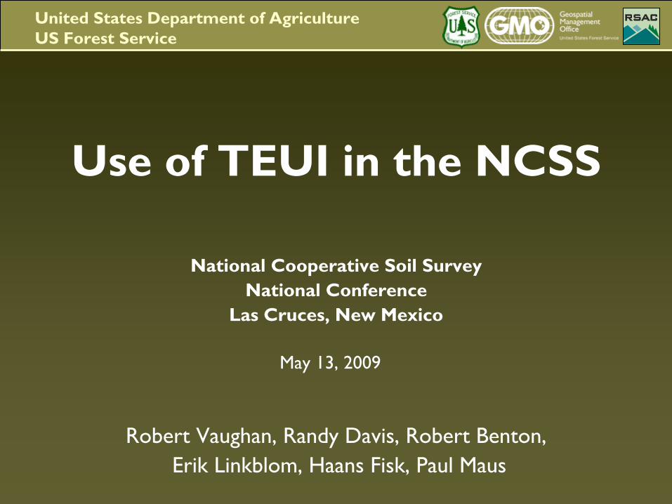
Use of TEUI in the NCSS
National Cooperative Soil SurveyNational Conference
Las Cruces, New Mexico
May 13, 2009
Robert Vaughan, Randy Davis, Robert Benton,Erik Linkblom, Haans
Fisk, Paul Maus
United States Department of AgricultureUS Forest Service
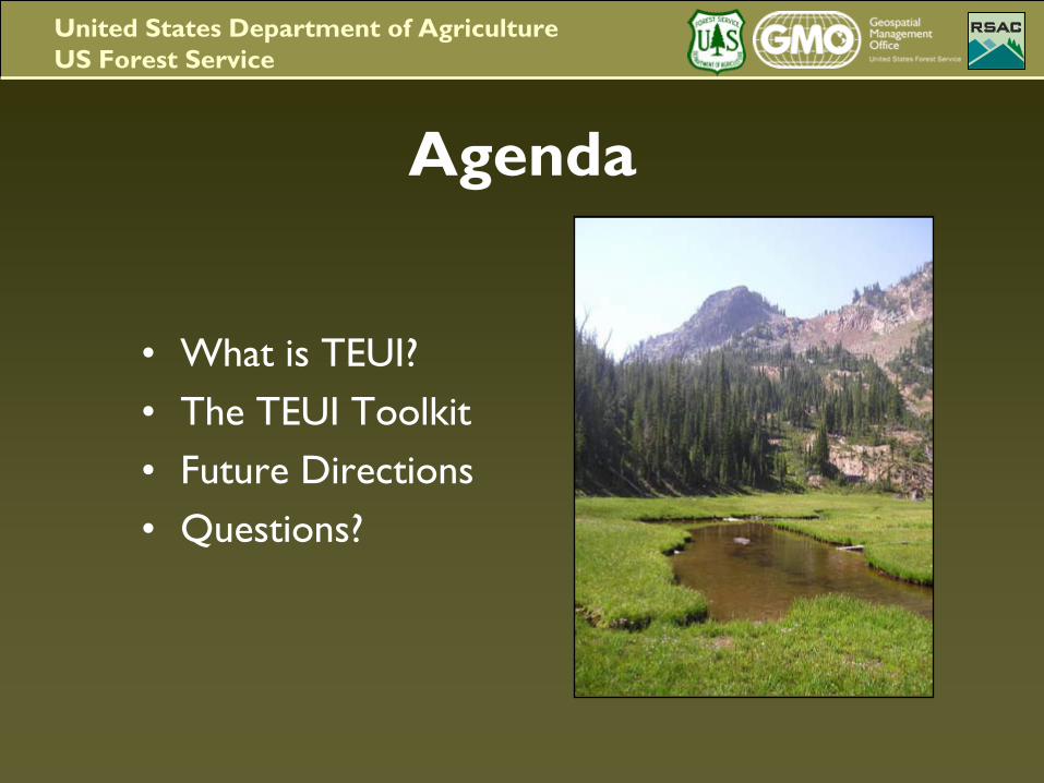
Agenda
•
What is TEUI?•
The TEUI Toolkit
•
Future Directions •
Questions?
United States Department of AgricultureUS Forest Service
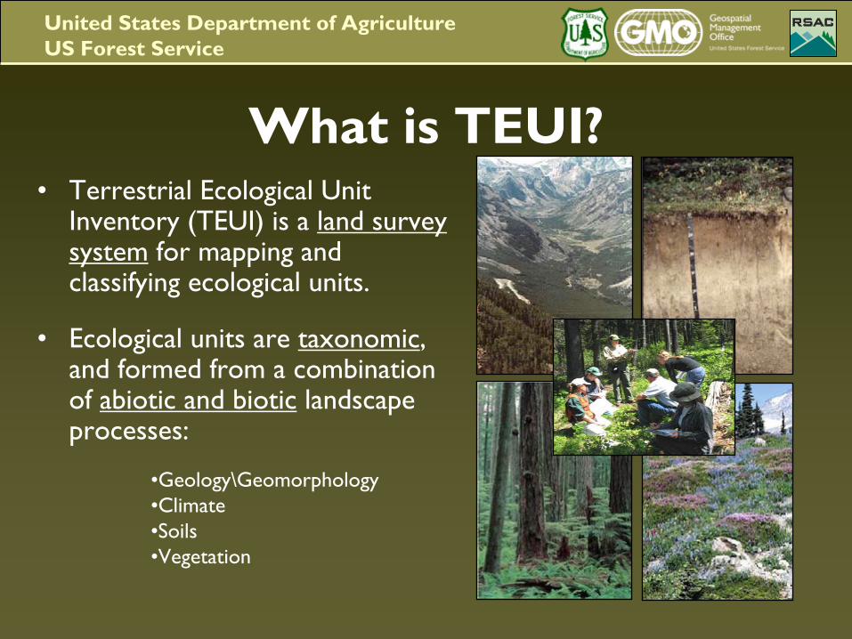
What is TEUI?•
Terrestrial Ecological Unit Inventory (TEUI) is a land survey system
for mapping and
classifying ecological units.
•
Ecological units are taxonomic, and formed from a combination of abiotic and biotic
landscape
processes:
•Geology\Geomorphology•Climate•Soils•Vegetation
United States Department of AgricultureUS Forest Service
•
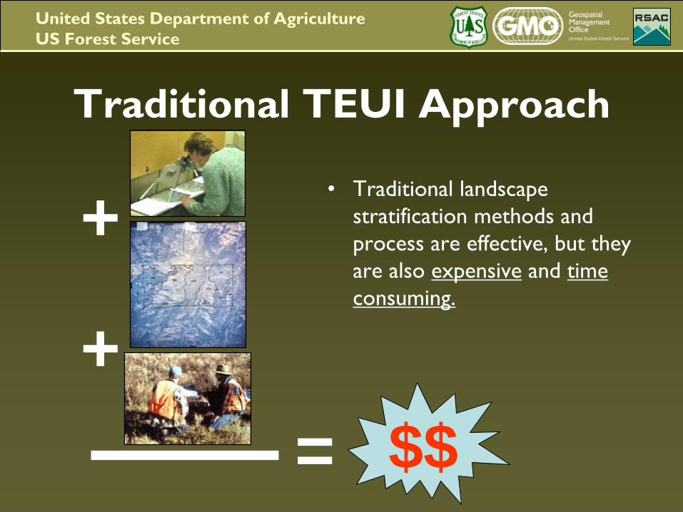
Traditional landscape stratification methods and process are effective, but they are also expensive
and time
consuming.
Traditional TEUI Approach
+
+$$=
United States Department of AgricultureUS Forest Service
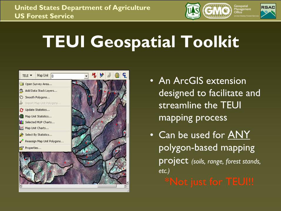
TEUI Geospatial Toolkit
•
An ArcGIS extension designed to facilitate and streamline the TEUI mapping process
•
Can be used for ANY polygon-based mapping
project
(soils, range,
forest stands, etc.)
*Not just for TEUI!!
United States Department of AgricultureUS Forest Service
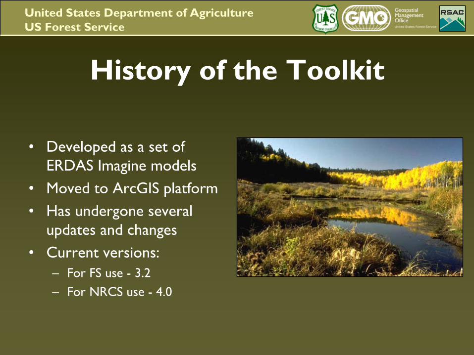
History of the Toolkit
•
Developed as a set of ERDAS Imagine models
•
Moved to ArcGIS platform•
Has undergone several updates and changes
•
Current versions:–
For FS use -
3.2–
For NRCS use -
4.0
United States Department of AgricultureUS Forest Service
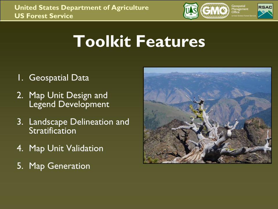
Toolkit Features
1.
Geospatial Data
2.
Map Unit Design and Legend Development
3.
Landscape Delineation and Stratification
4.
Map Unit Validation
5.
Map Generation
United States Department of AgricultureUS Forest Service
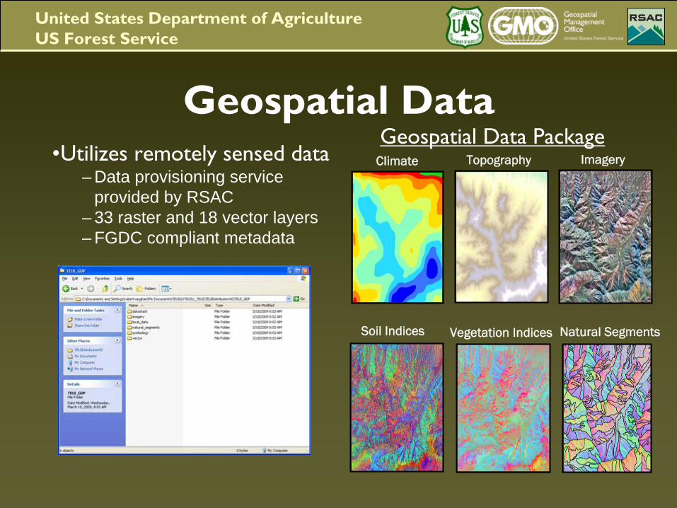
Geospatial Data•Utilizes remotely sensed data
– Data provisioning service provided by RSAC
– 33 raster and 18 vector layers– FGDC compliant metadata
Geospatial Data Package
Natural Segments
Climate Topography Imagery
Soil Indices Vegetation Indices
United States Department of AgricultureUS Forest Service
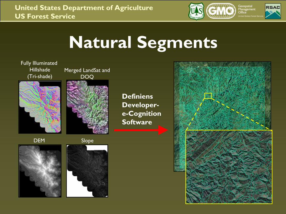
Natural SegmentsFully Illuminated
Hillshade(Tri-shade)
Merged LandSat
and DOQ
DEM Slope
Definiens
Developer-e-CognitionSoftware
United States Department of AgricultureUS Forest Service
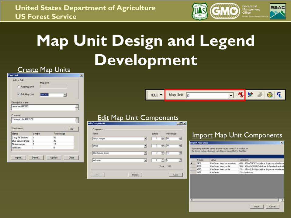
Map Unit Design and Legend Development
Import
Map Unit Components
Edit
Map Unit Components
Create
Map Units
United States Department of AgricultureUS Forest Service
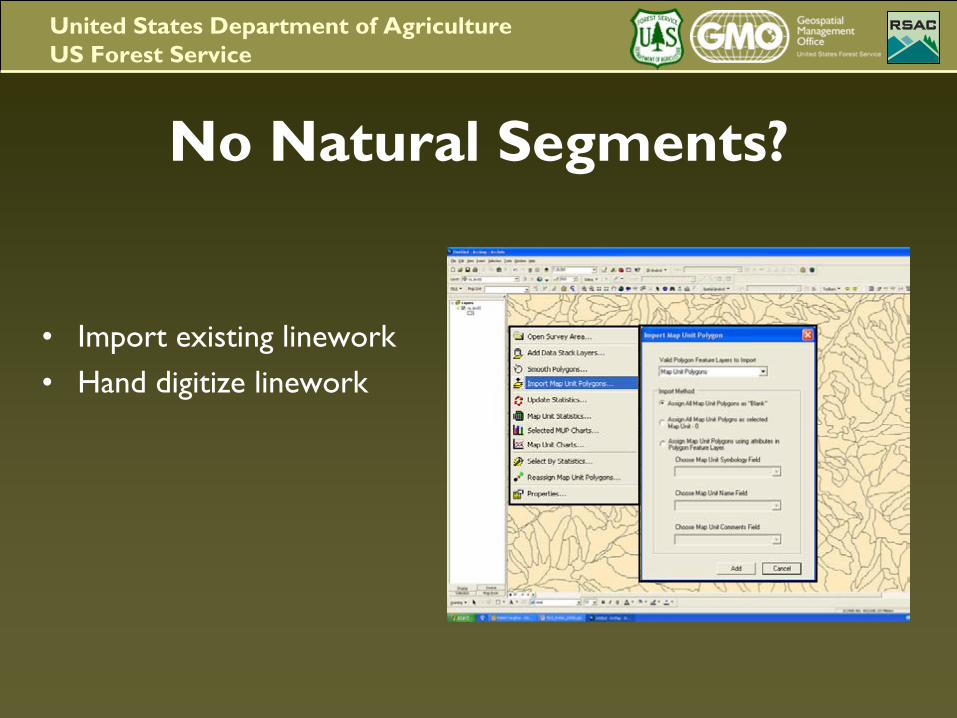
No Natural Segments?
•
Import existing linework•
Hand digitize linework
United States Department of AgricultureUS Forest Service
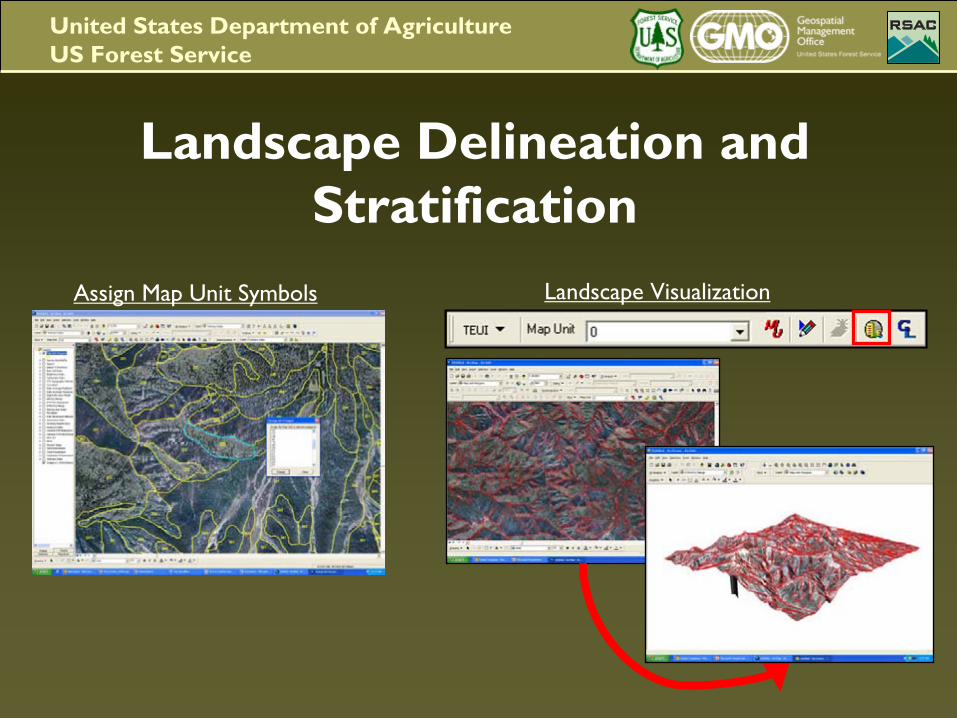
Landscape Delineation and Stratification
Landscape VisualizationAssign Map Unit Symbols
United States Department of AgricultureUS Forest Service
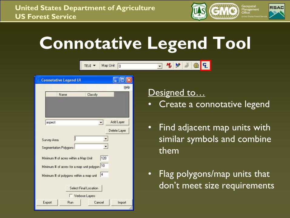
Connotative Legend Tool
Designed to…•
Create a connotative legend
•
Find adjacent map units with similar symbols and combine them
•
Flag polygons/map units that don’t meet size requirements
United States Department of AgricultureUS Forest Service
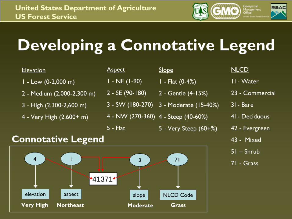
Developing a Connotative Legend
Connotative Legend
Elevation
1 -
Low (0-2,000 m)
2 -
Medium (2,000-2,300 m)
3 -
High (2,300-2,600 m)
4 -
Very High (2,600+ m)
Aspect
1 -
NE (1-90)
2 -
SE (90-180)
3 -
SW (180-270)
4 -
NW (270-360)
5 -
Flat
Slope
1 -
Flat (0-4%)
2 -
Gentle (4-15%)
3 -
Moderate (15-40%)
4 -
Steep (40-60%)
5 -
Very Steep (60+%)
NLCD
11-
Water
23 -
Commercial
31-
Bare
41-
Deciduous
42 -
Evergreen
43 -
Mixed
51 –
Shrub
71 -
Grass4
elevation
3
slope
71
NLCD Code
Very High Northeast Moderate Grass
1
aspect
41371
United States Department of AgricultureUS Forest Service
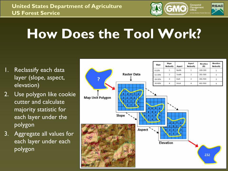
How Does the Tool Work?
1.
Reclassify each data layer (slope, aspect, elevation)
2.
Use polygon like cookie cutter and calculate majority statistic for each layer under the polygon
3.
Aggregate all values for each layer under each polygon
United States Department of AgricultureUS Forest Service
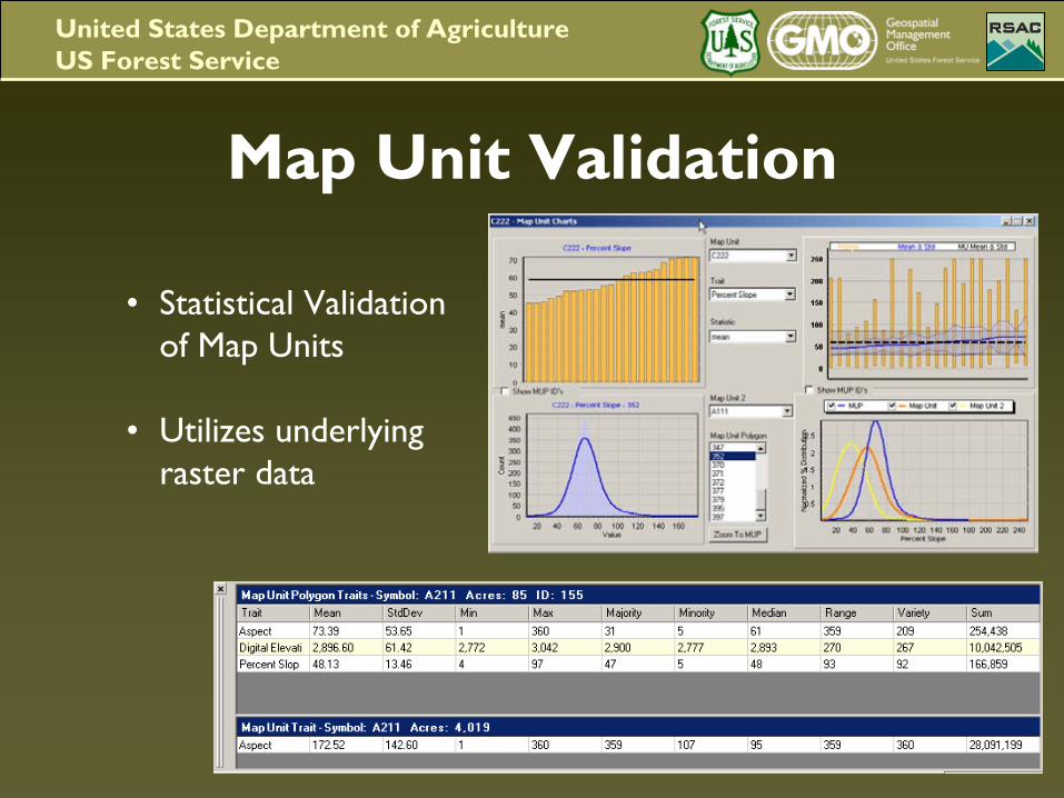
Map Unit Validation
•
Statistical Validation of Map Units
•
Utilizes underlying raster data
United States Department of AgricultureUS Forest Service
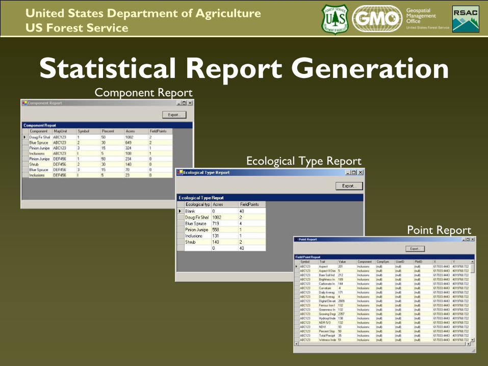
Statistical Report Generation
Point Report
Ecological Type Report
Component Report
United States Department of AgricultureUS Forest Service
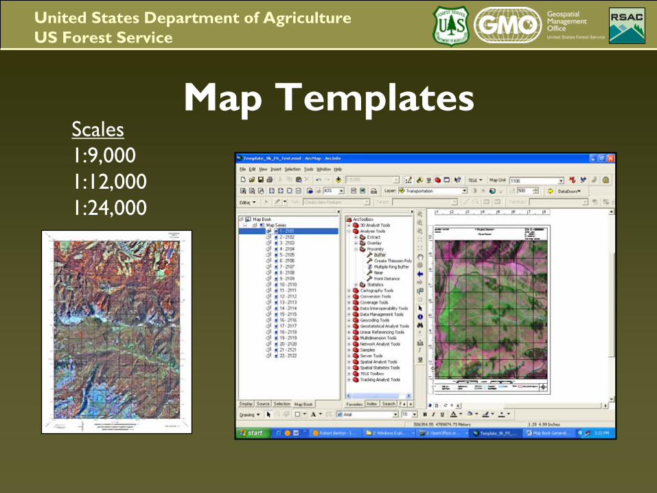
Map TemplatesScales1:9,0001:12,0001:24,000
United States Department of AgricultureUS Forest Service
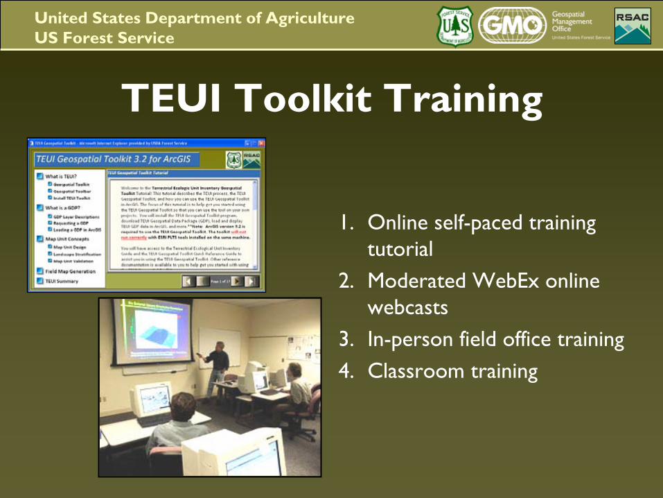
TEUI Toolkit Training
1.
Online self-paced training tutorial
2.
Moderated WebEx online webcasts
3.
In-person field office training4.
Classroom training
United States Department of AgricultureUS Forest Service
Future Directions
•
One version of the toolkit across all NCSS member agencies, private entities, and institutions –
Easier software maintenance and customer assistance.
•
Toolkit that integrates with other NCSS developed ArcGIS extensions and corporate databases
United States Department of AgricultureUS Forest Service
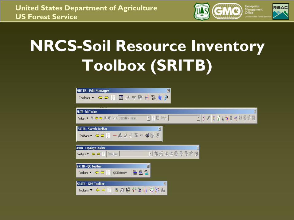
NRCS-Soil Resource Inventory Toolbox (SRITB)
United States Department of AgricultureUS Forest Service
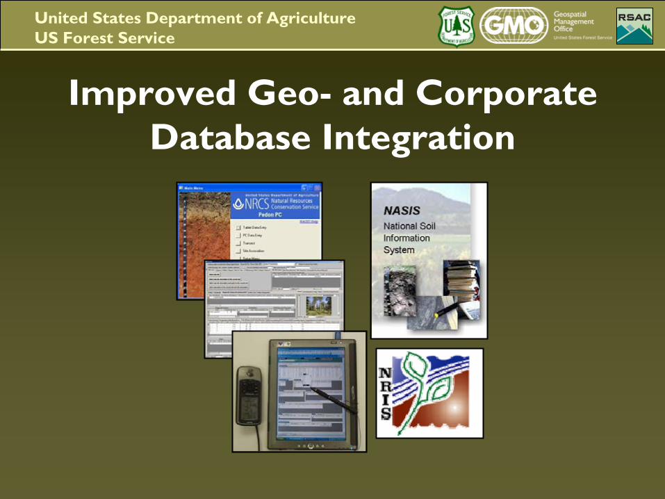
Improved Geo-
and Corporate Database Integration
United States Department of AgricultureUS Forest Service
Take Home Message•
The TEUI-Geospatial Toolkit modernizes
TEUI surveys
and provides a cost-effective enhancement
to traditional resource inventory methods.
•
The Toolkit excels
in the statistical validation
of map unit composition, map unit and map unit polygon comparisons.
•
The toolkit is continually being improved and updated.
•
The Forest Service continues to strengthen inter-agency and NCSS partnerships.
United States Department of AgricultureUS Forest Service
Questions?