Embed Size (px)
Citation preview
US Army Corps of Engineers
BUILDING STRONG®
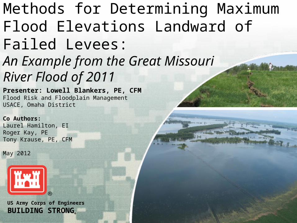
Methods for Determining Maximum Flood Elevations Landward of Failed Levees: An Example from the Great Missouri River Flood of 2011
Presenter: Lowell Blankers, PE, CFMFlood Risk and Floodplain ManagementUSACE, Omaha District
Co Authors:Laurel Hamilton, EIRoger Kay, PETony Krause, PE, CFM
May 2012

BUILDING STRONG®USACE, Omaha District
Presentation Overview
Background Modeling Techniques Used
►Steady HEC-RAS►Unsteady HEC-RAS
Water Surface Elevation Comparison to Gage Data

BUILDING STRONG®USACE, Omaha District
L-575 Missouri
River Left Bank
21 Miles
4.8 Miles
Nebraska City
Hamburg

BUILDING STRONG®USACE, Omaha District
Breach Development
3 Partial Levee Failure Breaches►June 4th
►June 5th
►June 9th
1 Full Levee Failure Breach ►June 13th
• Estimated Width: 300 feet • Estimated Depth: 11 feet

BUILDING STRONG®USACE, Omaha District
June 4th 2011
L-575 1st Sign Potential Levee Failure
Levee Crest
Landward Toe
Seepage Berm
BUILDING STRONG®USACE, Omaha District
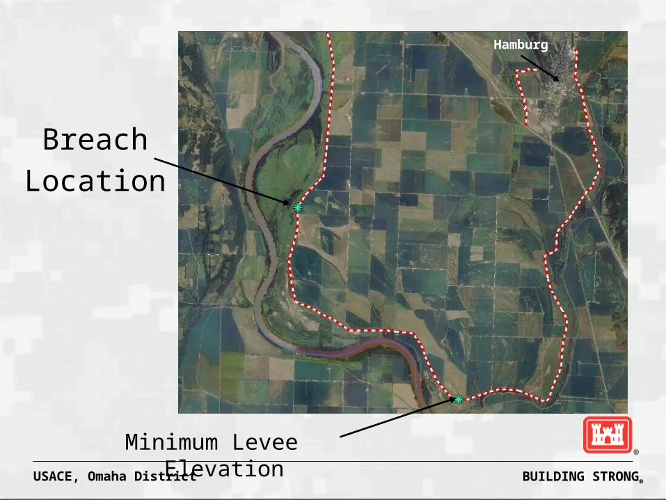
Hamburg
Breach
Location
Minimum Levee Elevation
BUILDING STRONG®USACE, Omaha District
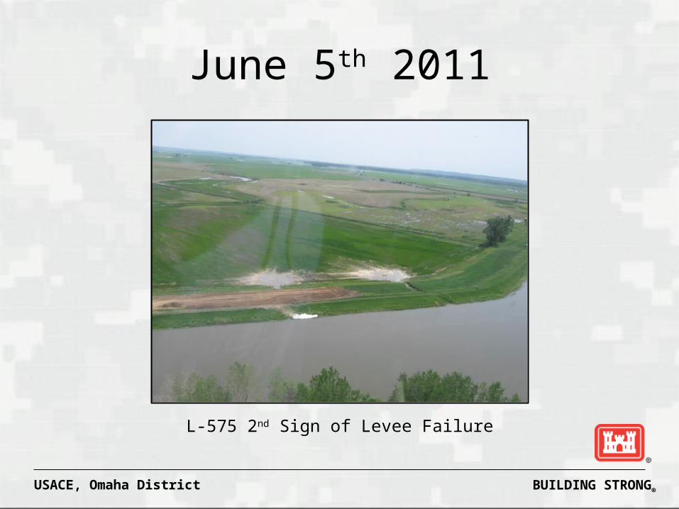
June 5th 2011
L-575 2nd Sign of Levee Failure

BUILDING STRONG®USACE, Omaha District
June 9th 2011
L-575 3rd Sign of Levee Failure

BUILDING STRONG®USACE, Omaha District
June 13th 2011
L-575 Full Breach 10:00 AM
L-575 Full Breach 5:00 PM

BUILDING STRONG®USACE, Omaha District
HEC-RAS Steady Flow Model
June 5th 2011 Hydraulic Modeling Begins Modeling Objectives
►Determine water surface elevations landward of the levee and to determine levee elevations for a secondary levee at Hamburg, IA
►Determine time available to construct temporary levees once a full breach occurs.

BUILDING STRONG®USACE, Omaha District
Steady Flow Model Setup
0 50000 100000 150000 200000 250000 300000 350000895
900
905
910
915
920
925
Volume (acre- ft)
Ele
vatio
n
(ft)
Legend
Vol-Elev
Elevation-volume curve for storage area.
The curve was already available from a previous study.
Add Storage Area to HEC-RAS Model

BUILDING STRONG®USACE, Omaha District
Steady Flow Model SetupAdd Lateral Weir at the Breach Location

BUILDING STRONG®USACE, Omaha District
Steady Flow Model SetupAdd Lateral Weir at downstream return

BUILDING STRONG®USACE, Omaha District
L-575 Return Flow 6/16/2011 at 11:00 AM

BUILDING STRONG®USACE, Omaha District
Estimate the Elevation Landward of the Levee
• Estimate an elevation in for storage area.• Set in the steady flow file
• Run model and review the storage area inflow and outflow.
• Adjust the elevation and rerun to balance the inflow and outflow
Steady Flow Model Setup

BUILDING STRONG®USACE, Omaha District
Inflow and Outflow from Storage Area should be equal.
Steady Flow Model SetupReview Storage Area Results

BUILDING STRONG®USACE, Omaha District
Steady Flow Model Results
Lower 575 Breach Analysis Scenario 1 Scenario 2 Scenario 3 Scenario 4 Scenario 5 Scenario 6
Upstream into storage
Breach Width 300 300 300 200 200 200
Breach Depth (To Grade) ~11 ~11 ~11 ~11 ~11 ~11
Downstream into channel
Breach Width 0 300 300 0 100 300
Breach Depth 0 1 2 0 1 2
Storage Area Elevation NAVD 88 916.17 916.12 916.04 916.06 915.9 915.8

BUILDING STRONG®USACE, Omaha District
Time to Fill Storage Area
Elevation-volume curve for storage area was used with weir equation to estimate time to fill the area behind the levee.
Manual calculation required since not computed in Steady Flow RAS Model
Elevation 916.17 NAVD88 at approximately 68 hours after breach

BUILDING STRONG®USACE, Omaha District
Initial set up similar to the Steady Flow Modeling.
The breach data was not set in the geometry of the lateral weirs.
Levee breach parameters entered into the Levee Breach option under the Unsteady Plan File.
HEC-RAS Unsteady Flow Model Setup

BUILDING STRONG®USACE, Omaha District
Unsteady Flow Model SetupBreach Parameters

BUILDING STRONG®USACE, Omaha District
Unsteady Flow Model SetupBreach Progression Parameters

BUILDING STRONG®USACE, Omaha District
Unsteady Flow Model SetupBreach Parameters for Downstream Notch

BUILDING STRONG®USACE, Omaha District
Unsteady Flow Model Results
14 15 16 17 18 19 20 216/1/2011
902
904
906
908
910
912
914
916
918
Plan: 575_init Storage Area: Lower575
Time
Sta
ge (
ft)
Legend
Stage
918
916
914
912
910
904
908
906
90214 15 16 17 18 19 20 21
Ele
vatio
n N
AV
D88
Date (June)
Elevation 916.7 NAVD88 Time: 4 to 5 Days or 96 to 120 Hrs
BUILDING STRONG®USACE, Omaha District
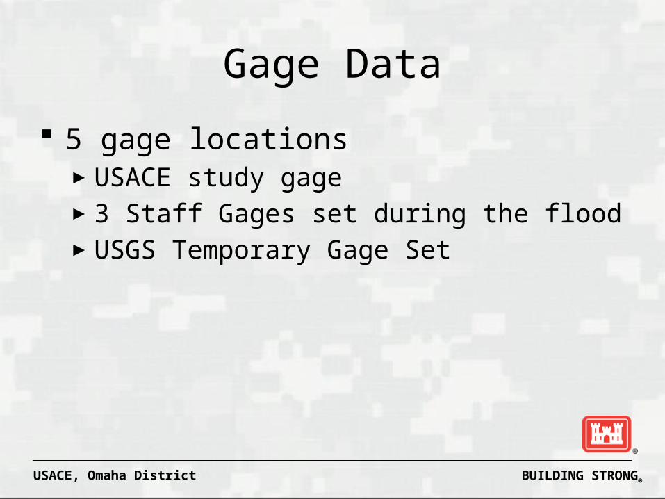
Gage Data
5 gage locations►USACE study gage►3 Staff Gages set during the flood►USGS Temporary Gage Set

BUILDING STRONG®USACE, Omaha District
Gage Locations
Staff Gages
USGS Temp Gage
USACE Study Gage

BUILDING STRONG®USACE, Omaha District
Time of Breach

BUILDING STRONG®USACE, Omaha District
Secondary Levee at Hamburg, IA
June 18, 2011

BUILDING STRONG®USACE, Omaha District
August 29, 2011

BUILDING STRONG®USACE, Omaha District
Post FloodNovember 2011

BUILDING STRONG®USACE, Omaha District
Questions


![TRANSICIONALES.ppt [Modo de compatibilidad] environments.pdf · with larger scale sedimentary structures •• Subaqueous levees grading upward into interdistriSubaqueous levees](https://img.pdfslide.us/doc/110x75/5abe003c7f8b9a8e3f8c7d16/modo-de-compatibilidad-environmentspdfwith-larger-scale-sedimentary-structures.jpg)