Embed Size (px)
Citation preview
Unmanned aerial vehicles in municipality level 3D topographic data production in urban areas
Olli NEVALAINEN, Tomi ROSNELL, Teemu
HAKALA, Eija HONKAVAARA, Roope NÄSI, Kimmo
NURMINEN
Finnish Geospatial Research Institute (FGI)
National Land Survey of Finland (NLS)
Presented at th
e FIG W
orking Week 2017,
May 29 - June 2, 2
017 in Helsinki, F
inland
Motivation for the project
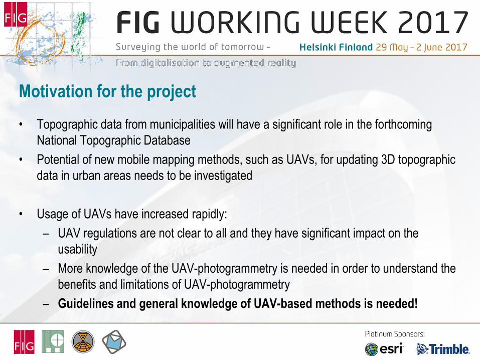
• Topographic data from municipalities will have a significant role in the forthcoming
National Topographic Database
• Potential of new mobile mapping methods, such as UAVs, for updating 3D topographic
data in urban areas needs to be investigated
• Usage of UAVs have increased rapidly:
– UAV regulations are not clear to all and they have significant impact on the
usability
– More knowledge of the UAV-photogrammetry is needed in order to understand the
benefits and limitations of UAV-photogrammetry
– Guidelines and general knowledge of UAV-based methods is needed!
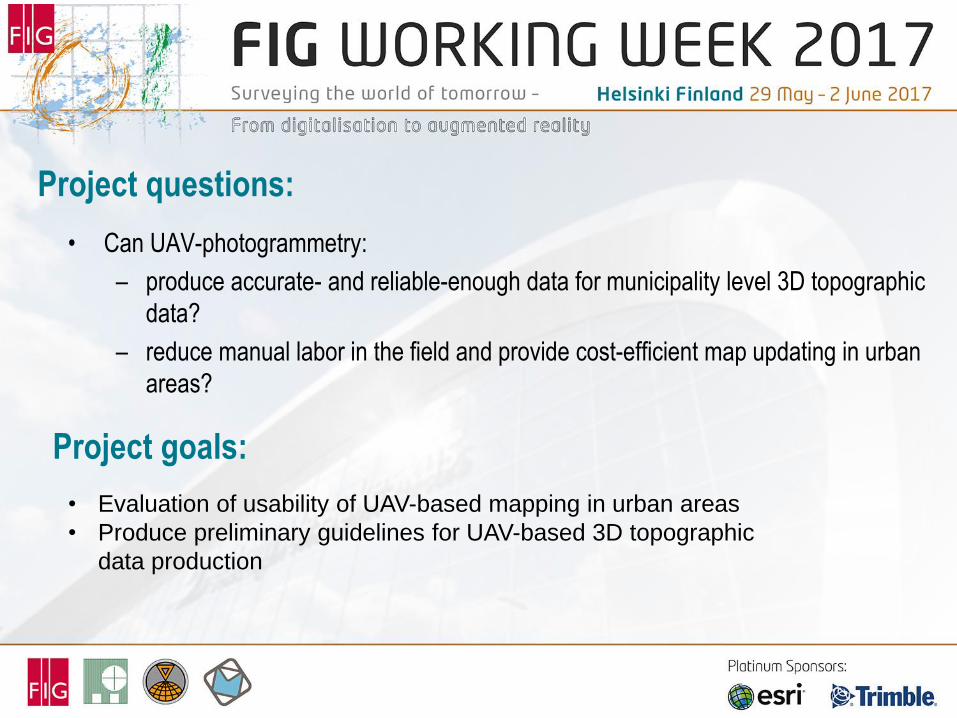
Project questions:
• Can UAV-photogrammetry:
– produce accurate- and reliable-enough data for municipality level 3D topographic
data?
– reduce manual labor in the field and provide cost-efficient map updating in urban
areas?
• Evaluation of usability of UAV-based mapping in urban areas
• Produce preliminary guidelines for UAV-based 3D topographic
data production
Project goals:
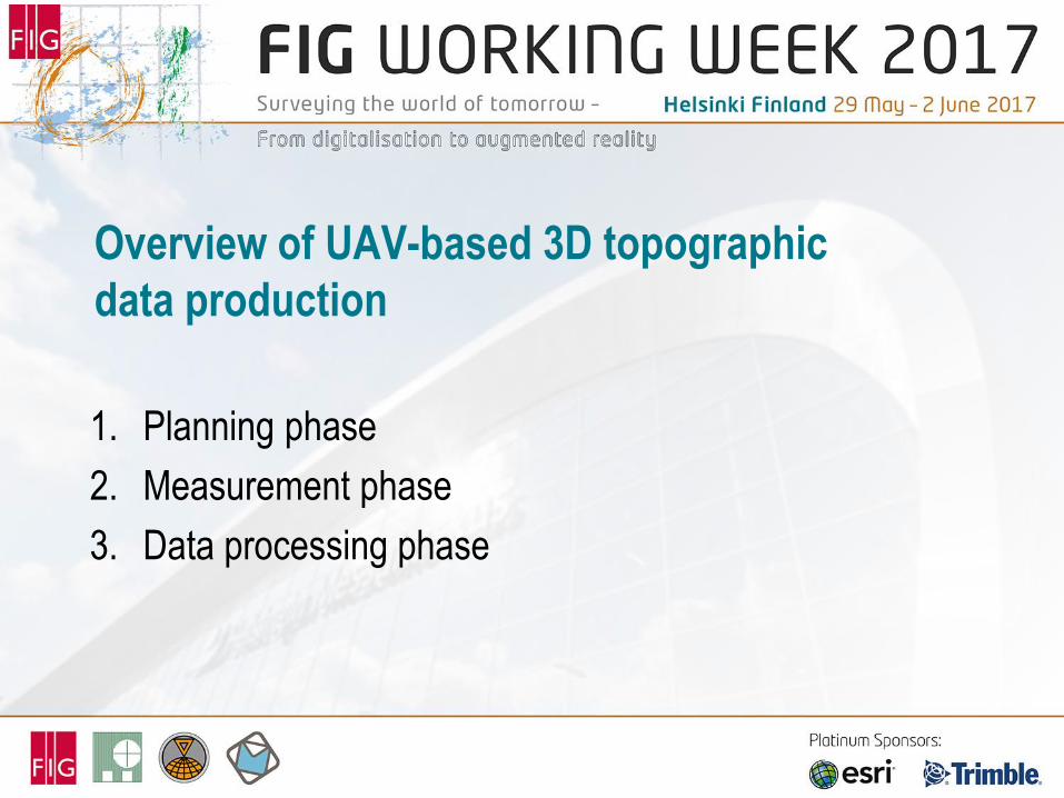
Overview of UAV-based 3D topographic
data production
1. Planning phase
2. Measurement phase
3. Data processing phase
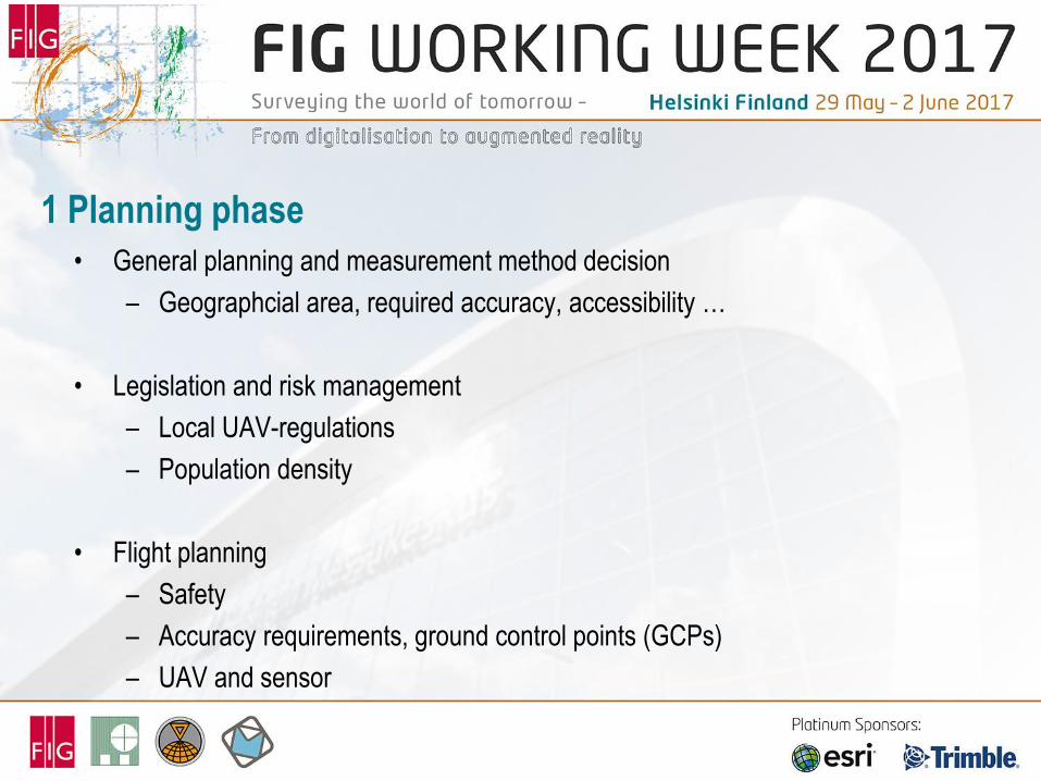
1 Planning phase
• General planning and measurement method decision
– Geographcial area, required accuracy, accessibility …
• Legislation and risk management
– Local UAV-regulations
– Population density
• Flight planning
– Safety
– Accuracy requirements, ground control points (GCPs)
– UAV and sensor
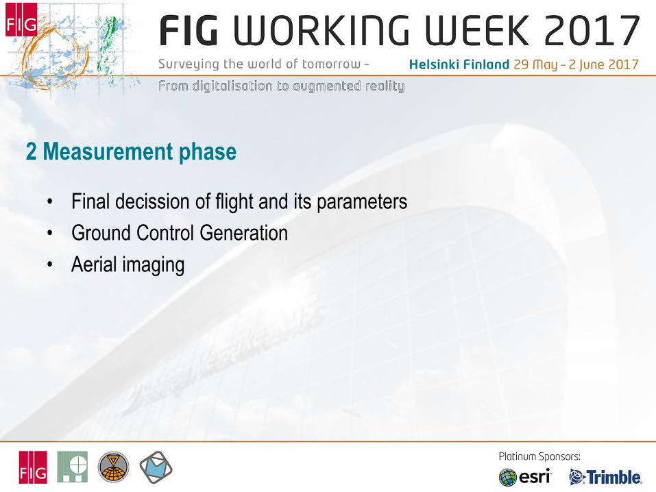
2 Measurement phase
• Final decission of flight and its parameters
• Ground Control Generation
• Aerial imaging
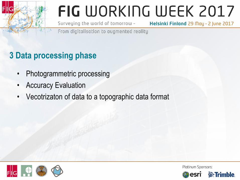
3 Data processing phase
• Photogrammetric processing
• Accuracy Evaluation
• Vecotrizaton of data to a topographic data format
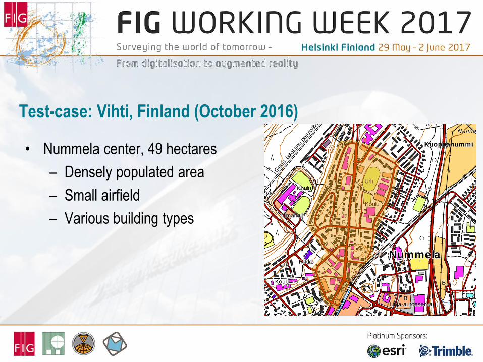
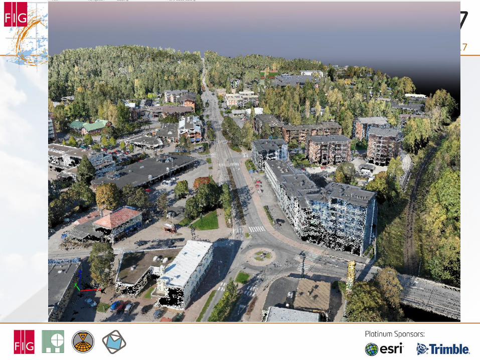
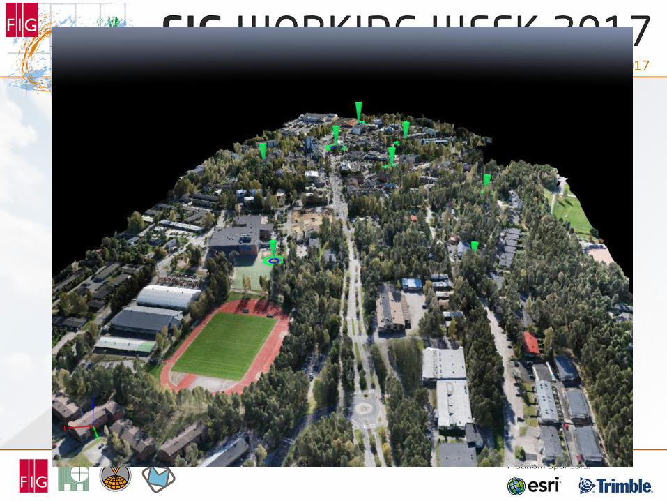
Test-case: Vihti, Finland (October 2016)
• Nummela center, 49 hectares
– Densely populated area
– Small airfield
– Various building types
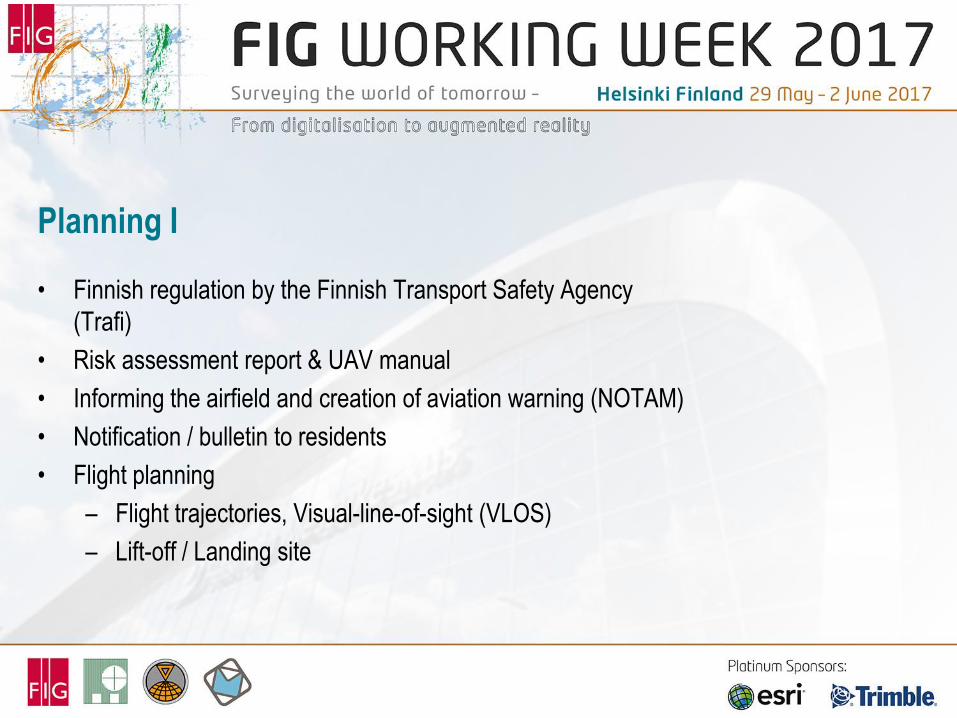
Planning I
• Finnish regulation by the Finnish Transport Safety Agency
(Trafi)
• Risk assessment report & UAV manual
• Informing the airfield and creation of aviation warning (NOTAM)
• Notification / bulletin to residents
• Flight planning
– Flight trajectories, Visual-line-of-sight (VLOS)
– Lift-off / Landing site
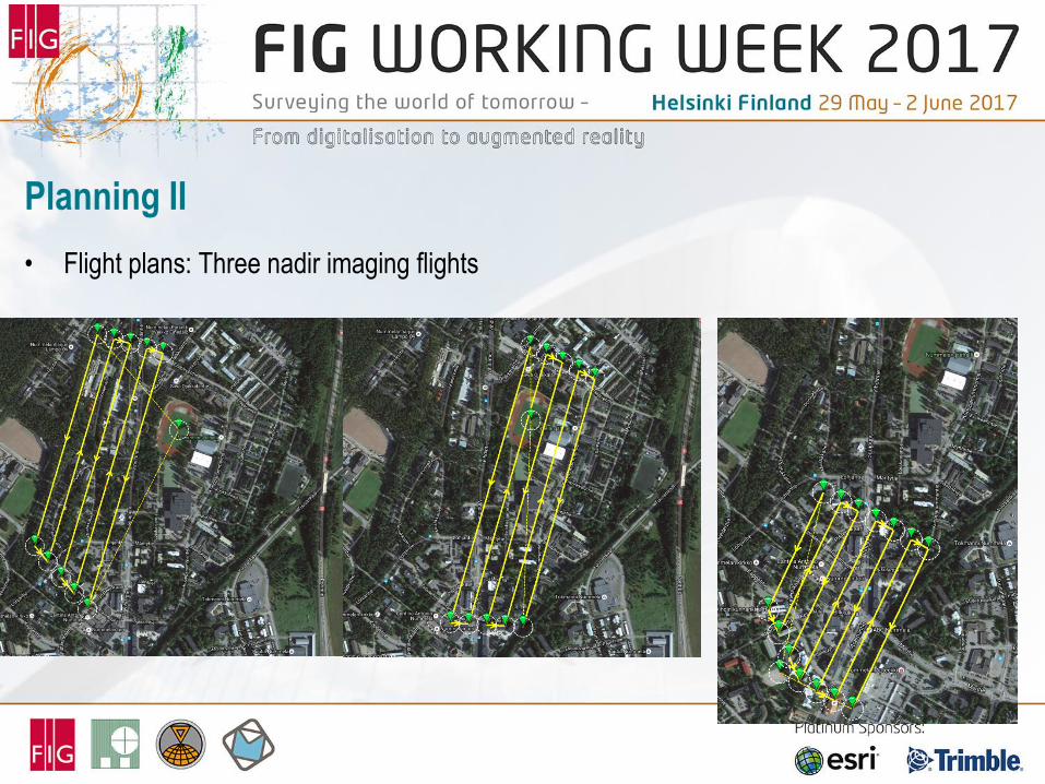
Planning II
• Flight plans: Three nadir imaging flights
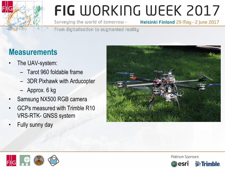
Measurements
• The UAV-system:
– Tarot 960 foldable frame
– 3DR Pixhawk with Arducopter
– Approx. 6 kg
• Samsung NX500 RGB camera
• GCPs measured with Trimble R10
VRS-RTK- GNSS system
• Fully sunny day
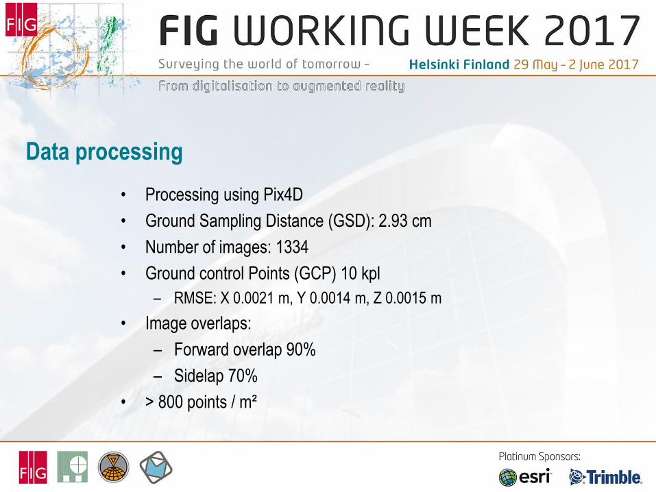
Data processing
• Processing using Pix4D
• Ground Sampling Distance (GSD): 2.93 cm
• Number of images: 1334
• Ground control Points (GCP) 10 kpl
– RMSE: X 0.0021 m, Y 0.0014 m, Z 0.0015 m
• Image overlaps:
– Forward overlap 90%
– Sidelap 70%
• > 800 points / m²
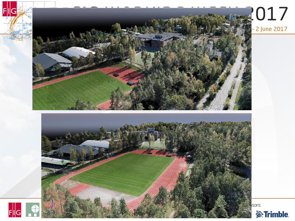
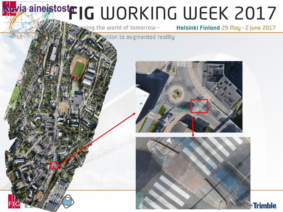
Kuvia aineistosta
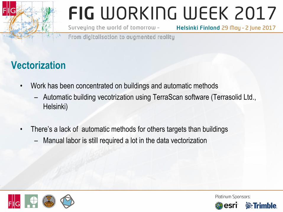
Vectorization
• Work has been concentrated on buildings and automatic methods
– Automatic building vecotrization using TerraScan software (Terrasolid Ltd.,
Helsinki)
• There’s a lack of automatic methods for others targets than buildings
– Manual labor is still required a lot in the data vectorization
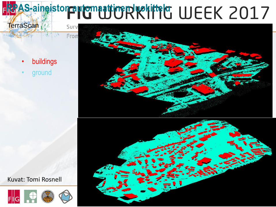
RPAS-aineiston automaattinen luokittelu
• buildings
• ground
Kuvat: Tomi Rosnell
TerraScan
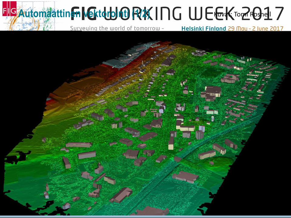
Automaattinen vektorointi (1/2) Kuvat: Tomi Rosnell
Conclusions
• UAV-photogrammetry provides low cost tool for producing 3D topographic data in
urban areas, especially when small areas are of concern
• Automated methods for point cloud vectorization needed
• The use of UAVs in topographic data production will increase
• UAV-based laser scanning will also increase as the sensors are getting smaller and
prices are going down


![FY18 RWDC State Unmanned Aerial System Challenge ... · Unmanned Aerial System Challenge: Practical Solutions to ... , Real World Design Challenge ... , unmanned aerial vehicle [UAV])](https://img.pdfslide.us/doc/110x75/5ae85cfb7f8b9a8b2b8fe5e5/fy18-rwdc-state-unmanned-aerial-system-challenge-aerial-system-challenge-practical.jpg)