Embed Size (px)
Citation preview
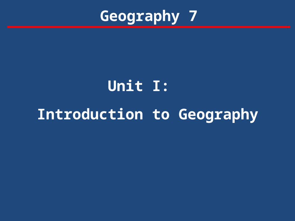
Unit I:
Introduction to Geography
Geography 7
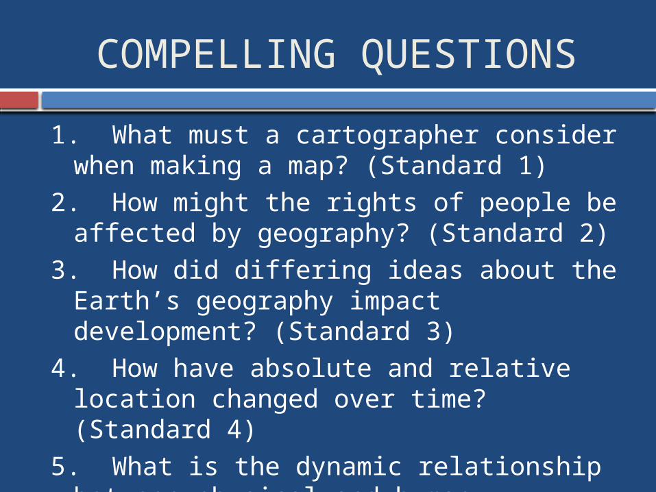
COMPELLING QUESTIONS
1. What must a cartographer consider when making a map? (Standard 1)
2. How might the rights of people be affected by geography? (Standard 2)
3. How did differing ideas about the Earth’s geography impact development? (Standard 3)
4. How have absolute and relative location changed over time? (Standard 4)
5. What is the dynamic relationship between physical and human geography? (Standard 5)
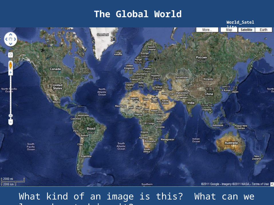
The Global World World_Satellite
What kind of an image is this? What can we learn by studying it?
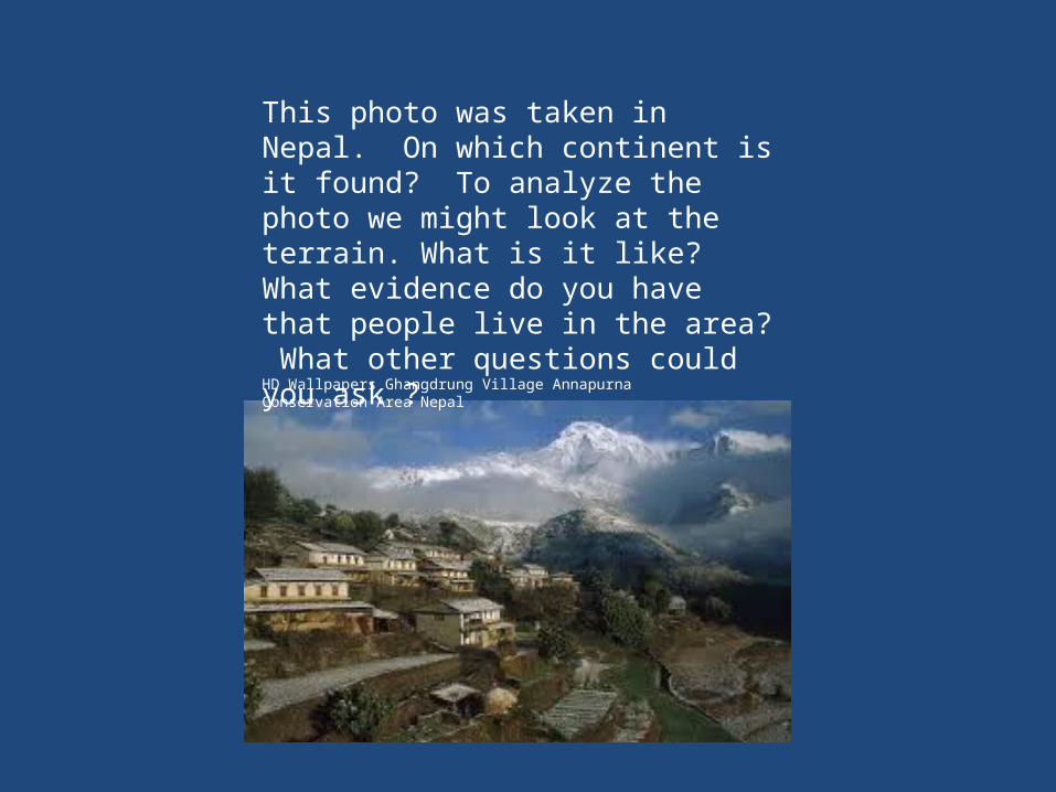
HD Wallpapers Ghangdrung Village Annapurna Conservation Area Nepal
This photo was taken in Nepal. On which continent is it found? To analyze the photo we might look at the terrain. What is it like? What evidence do you have that people live in the area? What other questions could you ask ?
So, what’s the big deal about geography? Why is it so important? Watch the video to find out!
“Why is Geography Important?” http://www.youtube.com/watch?v=I3YfE9VLFoA&feature=em-share_video_user
The word, geography, invented by the ancient Greek scholar, Erasosthenes, is based two Greek words; geo, meaning “Earth” and graphy, meaning “to write”.
Geography is the study of the Earth and its features and of the distribution of life on Earth, including human life and the effects of human activity.
Geography is one of the oldest human activities—an early activity would be a man taking a journey deep into the jungle or crossing a river to communicate with a tribesman.
Today, everyone uses geography in some form—giving directions to their house, watching the weather channel, or picking up trash from their neighborhood
What is Geography?
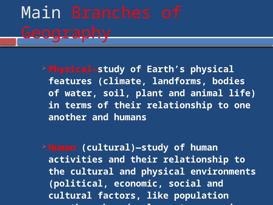
Main Branches of Geography
Physical—study of Earth’s physical features (climate, landforms, bodies of water, soil, plant and animal life) in terms of their relationship to one another and humans
Human (cultural)—study of human activities and their relationship to the cultural and physical environments (political, economic, social and cultural factors, like population growth, urban development, economic production & consumption)
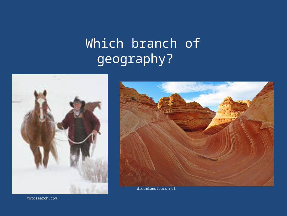
dreamlandtours.net
fotosearch.com
Which branch of geography?
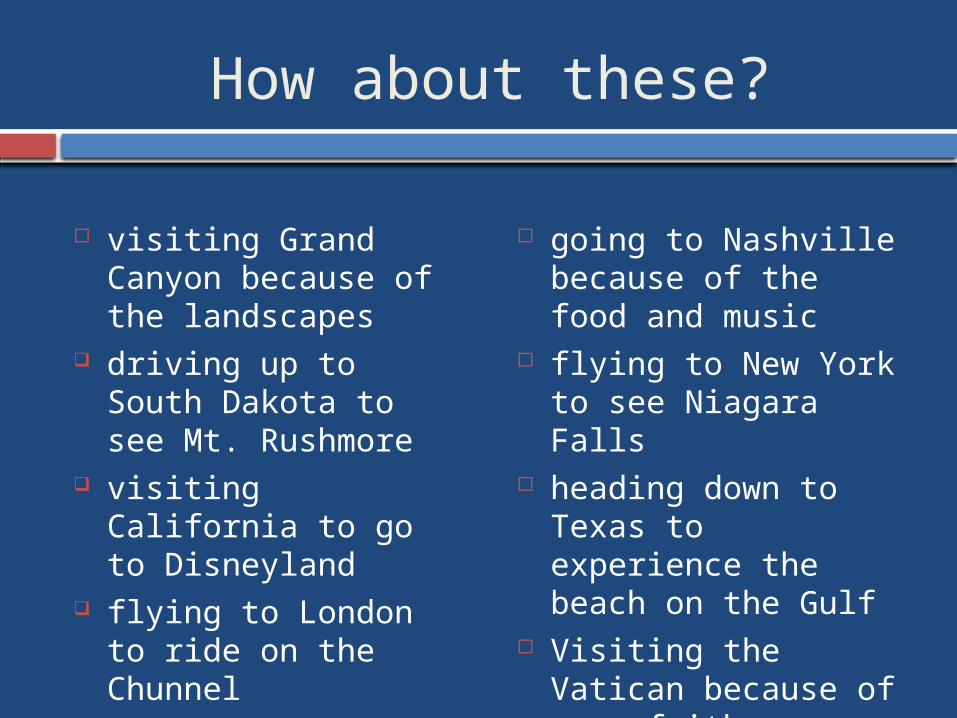
How about these?
visiting Grand Canyon because of the landscapes
driving up to South Dakota to see Mt. Rushmore
visiting California to go to Disneyland
flying to London to ride on the Chunnel
going to Nashville because of the food and music
flying to New York to see Niagara Falls
heading down to Texas to experience the beach on the Gulf
Visiting the Vatican because of your faith
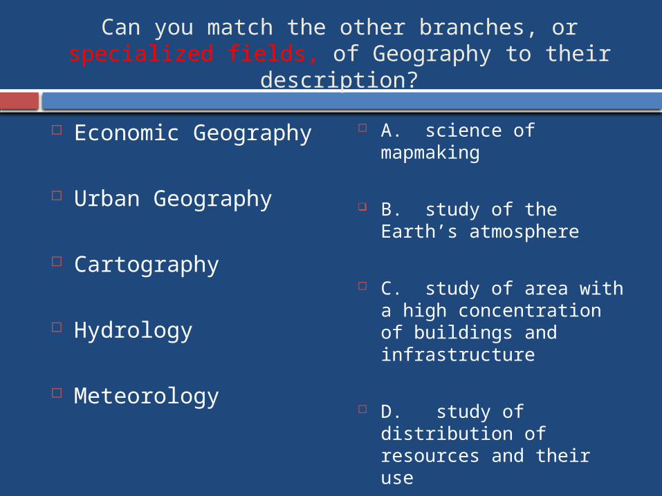
Can you match the other branches, or specialized fields, of Geography to their description?
Economic Geography
Urban Geography
Cartography
Hydrology
Meteorology
A. science of mapmaking
B. study of the Earth’s atmosphere
C. study of area with a high concentration of buildings and infrastructure
D. study of distribution of resources and their use
E. science dealing with water
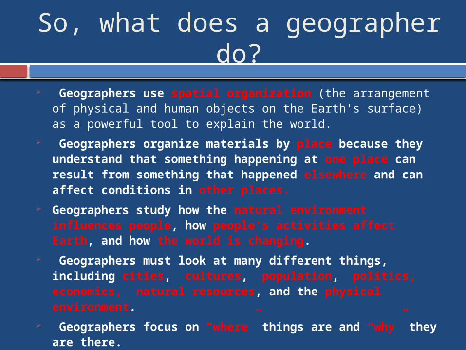
So, what does a geographer do?
Geographers use spatial organization (the arrangement of physical and human objects on the Earth's surface) as a powerful tool to explain the world.
Geographers organize materials by place because they understand that something happening at one place can result from something that happened elsewhere and can affect conditions in other places.
Geographers study how the natural environment influences people, how people’s activities affect Earth, and how the world is changing.
Geographers must look at many different things, including cities, cultures, population, politics, economics, natural resources, and the physical environment.
Geographers focus on “where” things are and “why” they are there.
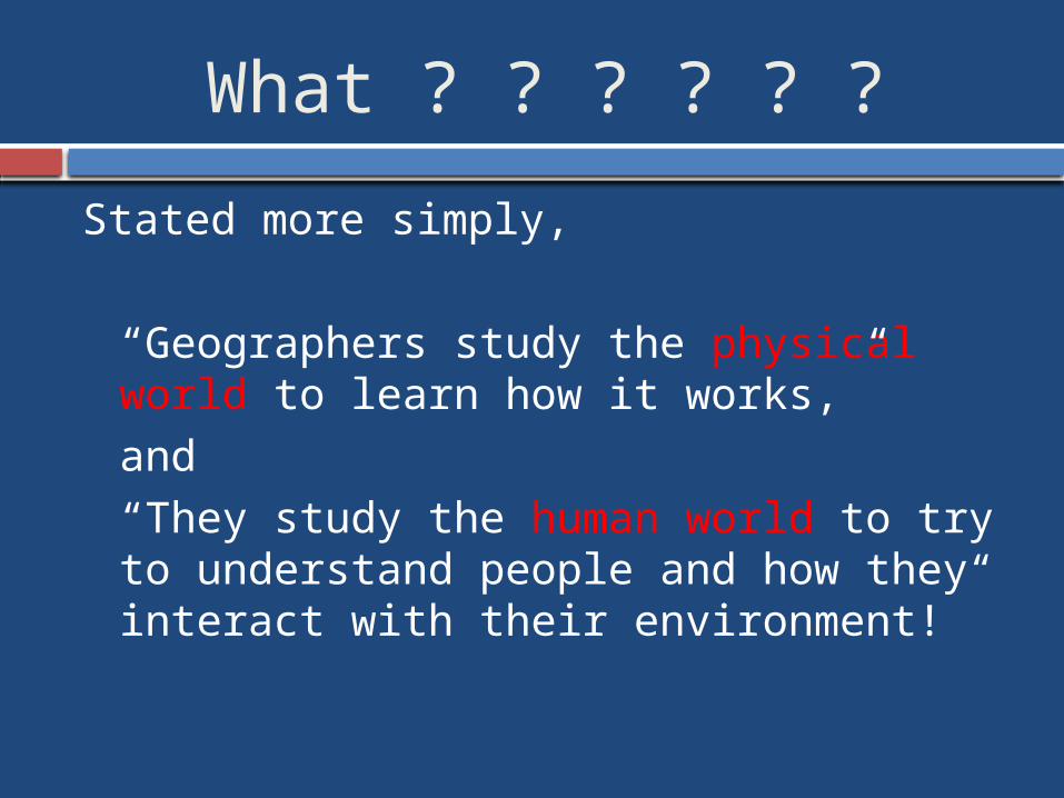
What ? ? ? ? ? ?
Stated more simply,
“Geographers study the physical world to learn how it works,”and“They study the human world to try to understand people and how they interact with their environment!”
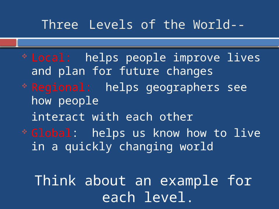
Three Levels of the World--
Local: helps people improve lives and plan for future changes
Regional: helps geographers see how peopleinteract with each other
Global: helps us know how to live in a quickly changing world
Think about an example for each level.
Let’s watch this video to find our what YOU can do with geography?
“What can you do with geography?” http://www.youtube.com/watch?v=6Mj8MTWZX4M&feature=em-share_video_user
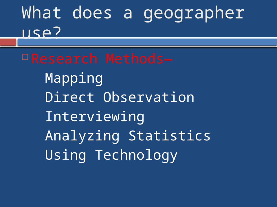
What does a geographer use? Research Methods—
MappingDirect ObservationInterviewing Analyzing StatisticsUsing Technology
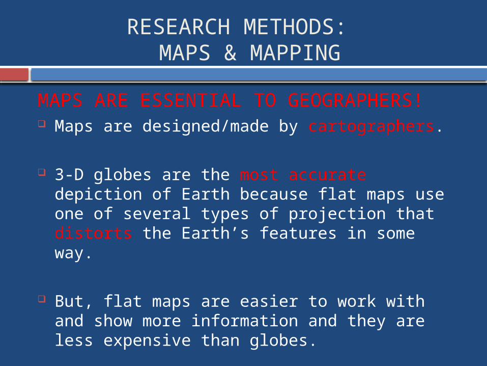
RESEARCH METHODS: MAPS & MAPPING
MAPS ARE ESSENTIAL TO GEOGRAPHERS! Maps are designed/made by cartographers.
3-D globes are the most accurate depiction of Earth because flat maps use one of several types of projection that distorts the Earth’s features in some way.
But, flat maps are easier to work with and show more information and they are less expensive than globes.
Maps allow for visual comparisons and it’s easier to show small areas on maps.
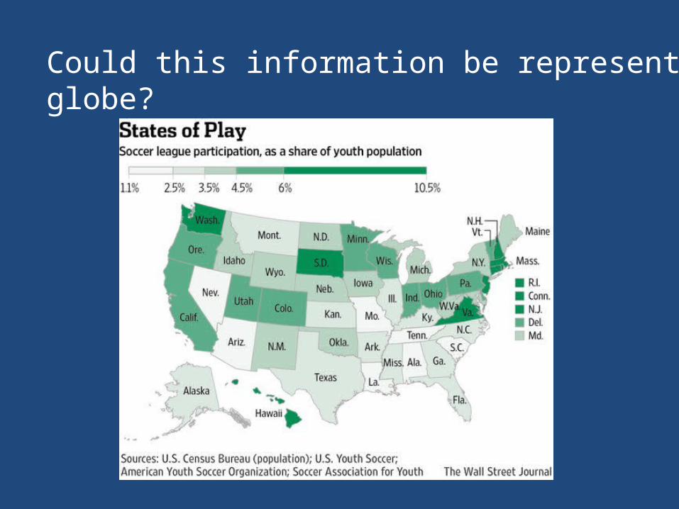
Could this information be represented on a globe?
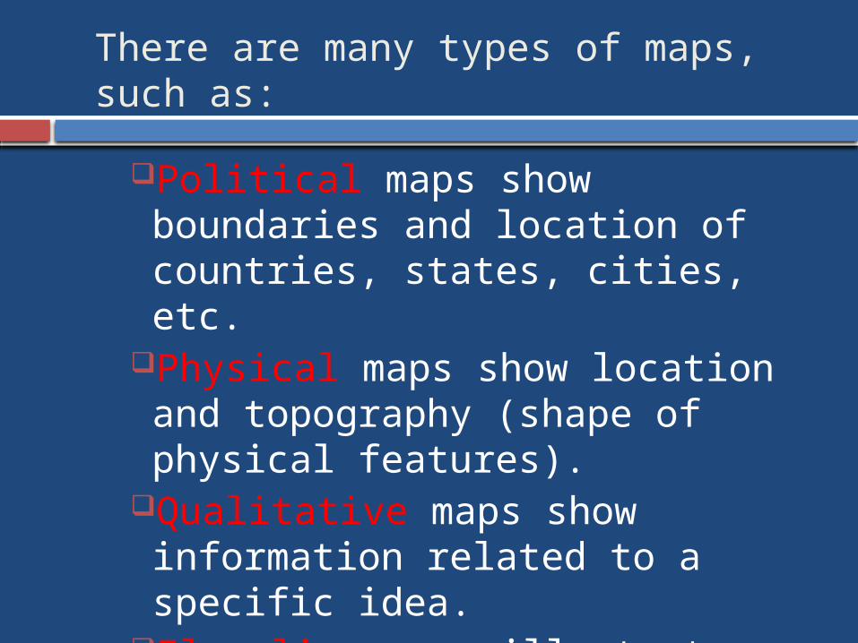
There are many types of maps, such as:
Political maps show boundaries and location of countries, states, cities, etc.
Physical maps show location and topography (shape of physical features).
Qualitative maps show information related to a specific idea.
Flow-line maps illustrate movement.
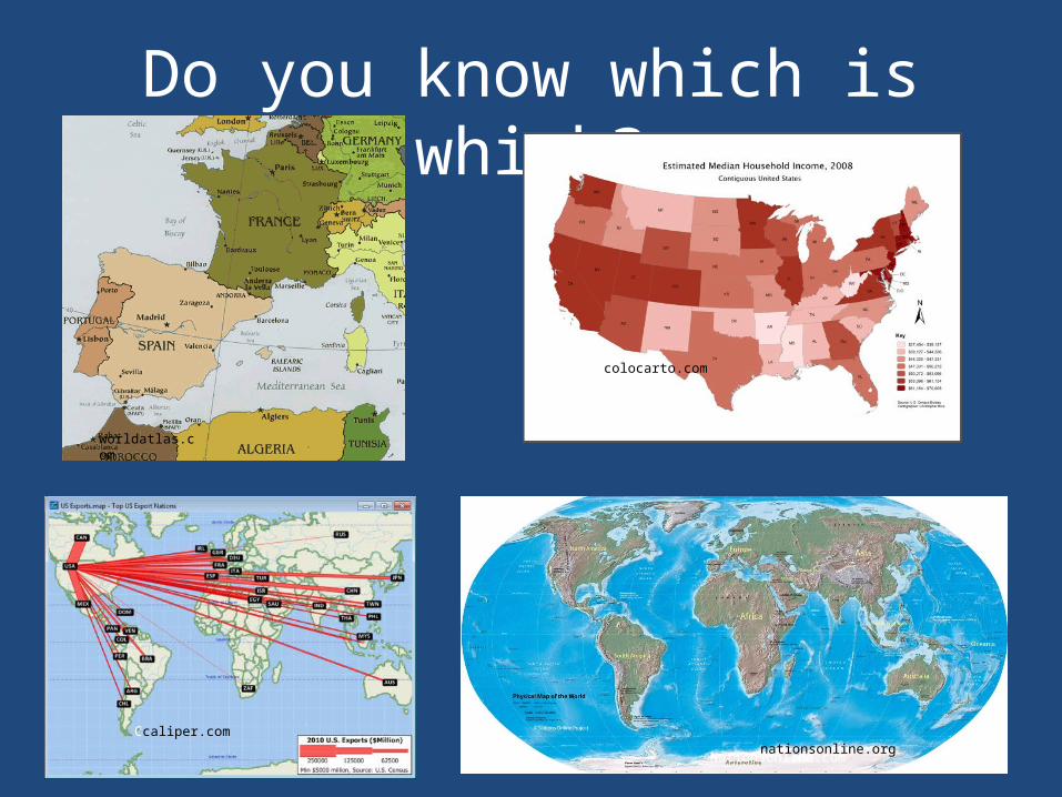
Do you know which is which?
worldatlas.com
Nationsonline.comnationsonline.org
colocarto.com
Ccaliper.com
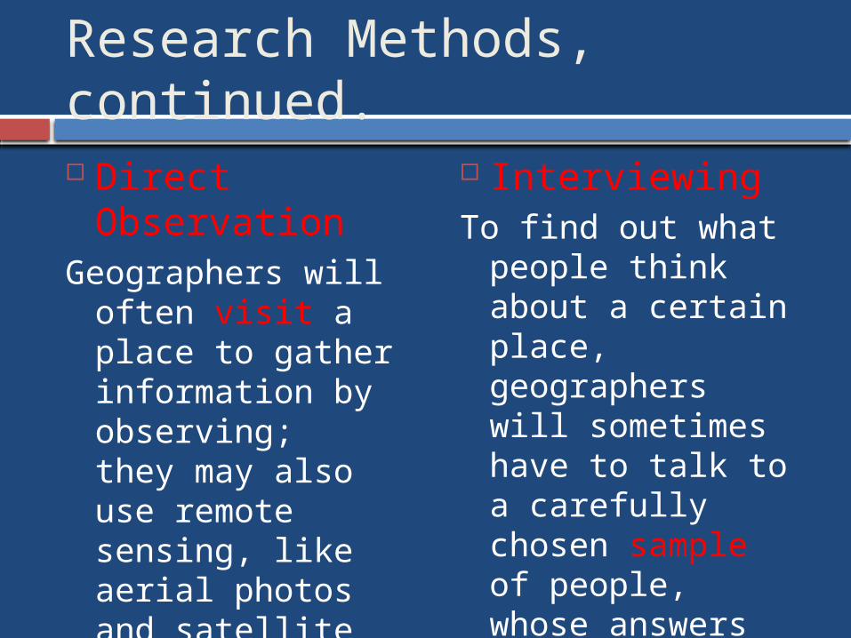
Research Methods, continued. Direct
ObservationGeographers will
often visit a place to gather information by observing; they may also use remote sensing, like aerial photos and satellite images to study the Earth.
Interviewing To find out what
people think about a certain place, geographers will sometimes have to talk to a carefully chosen sample of people, whose answers represent the group.
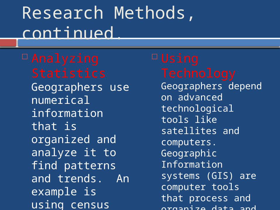
Research Methods, continued. Analyzing
Statistics Geographers use numerical information that is organized and analyze it to find patterns and trends. An example is using census data to learn about a population.
Using Technology Geographers depend on advanced technological tools like satellites and computers. Geographic Information systems (GIS) are computer tools that process and organize data and satellite images with other types of information.
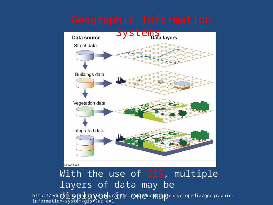
With the use of GIS, multiple layers of data may be displayed in one map
http://education.nationalgeographic.com/education/encyclopedia/geographic-information-system-gis/?ar_a=1
Geographic Information Systems

This diagram shows the layers of data that affect the area of the Ogallala Aquifer. GIS combines many layers to visualize how different features are related. The graph shows water level change from 1980-1990.
nationalgeographic.com
More GIS
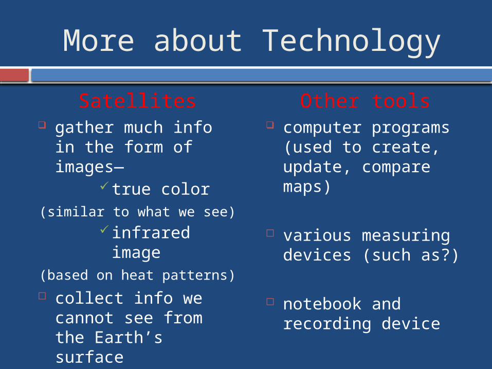
More about Technology
Satellites gather much info in
the form of images— true color
(similar to what we see) infrared image
(based on heat patterns) collect info we cannot
see from the Earth’s surface
help cartographers make accurate maps
Other tools computer programs
(used to create, update, compare maps)
various measuring devices (such as?)
notebook and recording device
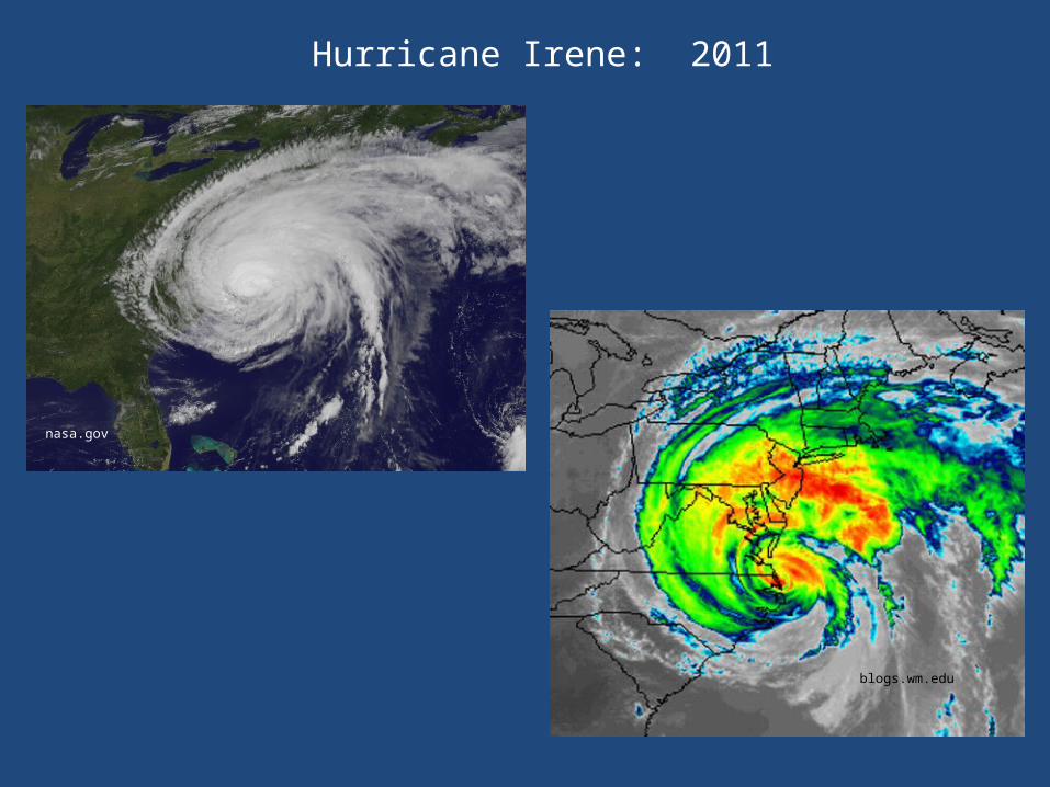
nasa.gov
Hurricane Irene: 2011
blogs.wm.edu
Some people think it’s just--
Memorizing lists of countries and state capitals, or
Studying rocks and soil, or
Looking at maps, or
Analyzing pictures of faraway places
BUT IT’S FAR MORE THAN THAT!IT’S ALL OF THAT, AND MORE
As you can see, there’s a lot to Geography!
5 THEMES OF GEOGRAPHY
To help people learn about geography, the Themes of Geography were created:
LOCATIONPLACEREGIONSMOVEMENTHUMAN-ENVIRONMENT INTERACTION
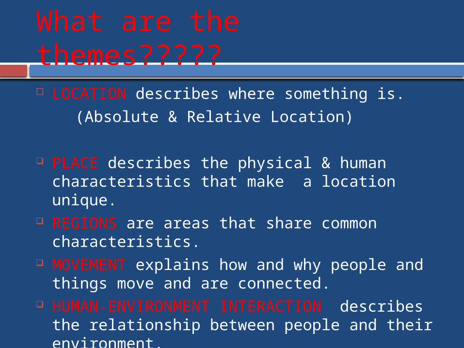
What are the themes?????
LOCATION describes where something is.
(Absolute & Relative Location)
PLACE describes the physical & human characteristics that make a location unique.
REGIONS are areas that share common characteristics.
MOVEMENT explains how and why people and things move and are connected.
HUMAN-ENVIRONMENT INTERACTION describes the relationship between people and their environment.

See “Themes” Powerpoint
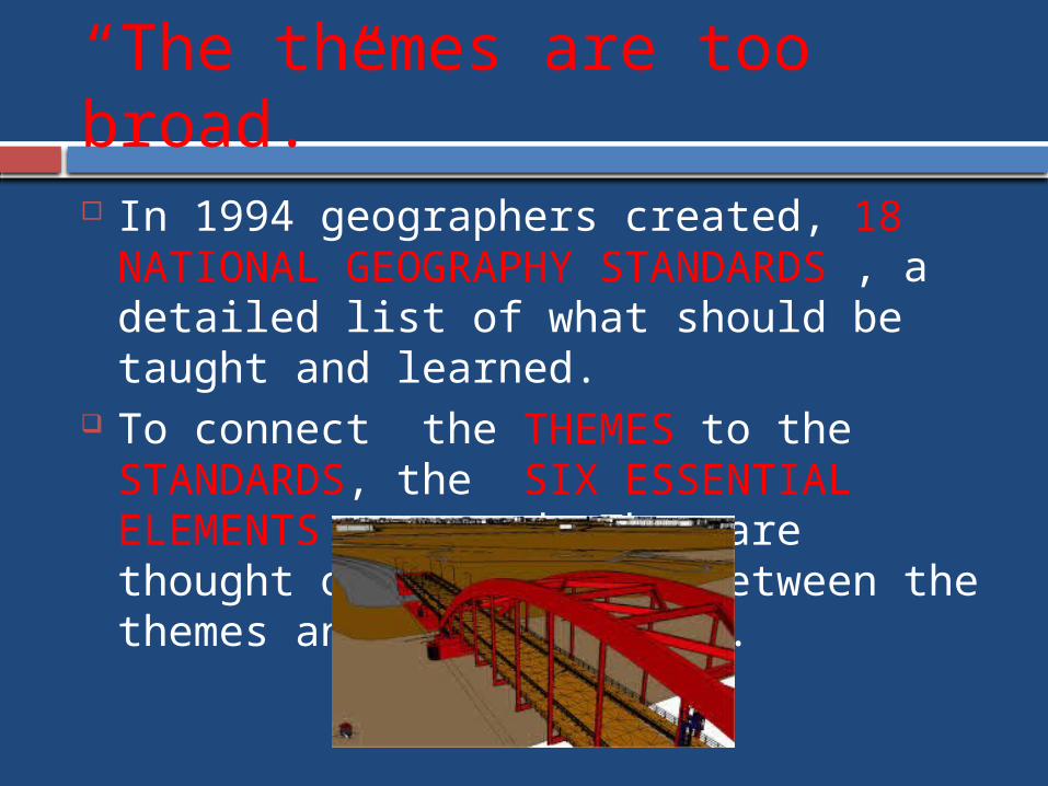
“The themes are too broad.” In 1994 geographers created, 18
NATIONAL GEOGRAPHY STANDARDS , a detailed list of what should be taught and learned.
To connect the THEMES to the STANDARDS, the SIX ESSENTIAL ELEMENTS are used. They are thought of as a bridge between the themes and the standards.
6 ESSENTIAL ELEMENTS
I. The World in Spatial Terms II. Places and Regions III. Physical Systems IV. Human Systems V. Environment & Society VI. The Uses of Geography
What connections can you see between the themes & the elements?
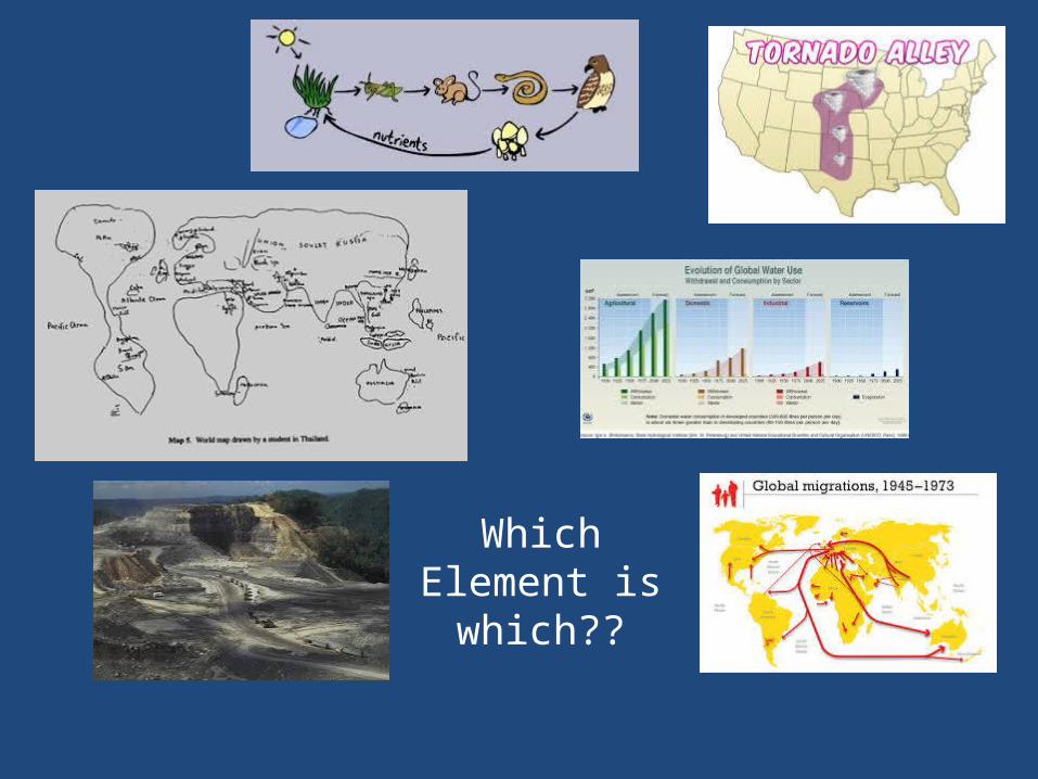
Which Element is
which??
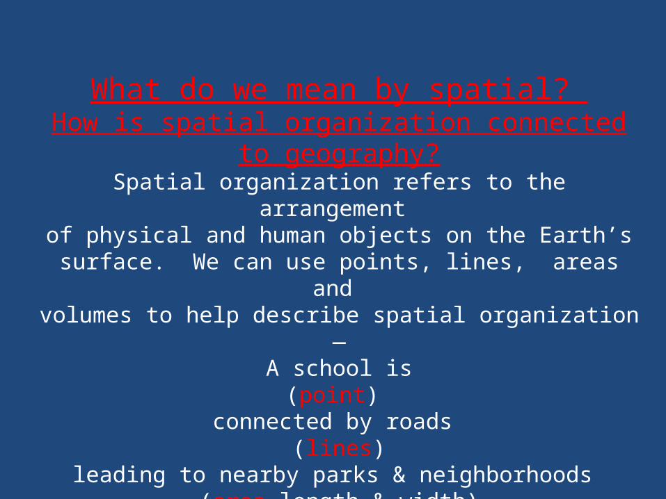
What do we mean by spatial? How is spatial organization connected to geography?
Spatial organization refers to the arrangement of physical and human objects on the Earth’s
surface. We can use points, lines, areas and volumes to help describe spatial organization—
A school is(point)
connected by roads (lines)
leading to nearby parks & neighborhoods (area—length & width)
where ponds & lakes are found. (volume—area and depth)
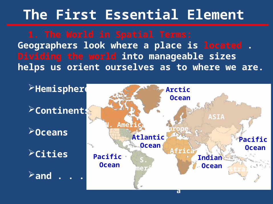
The First Essential Element 1. The World in Spatial Terms: Geographers look
where a place is located . Dividing the world into manageable sizes helps us orient ourselves as to where we are.
Hemispheres
Continents
Oceans
Cities
and . . .
N. America
S. America
Africa
ASIA
Europe
ntarctica
Australia
Atlantic Ocean
Pacific Ocean
Indian Ocean
Pacific Ocean
Arctic Ocean
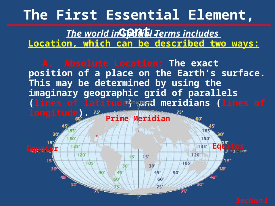
The First Essential Element, cont.The world in Spatial Terms includes
Location, which can be described two ways:
A. Absolute Location: The exact position of a place on the Earth’s surface. This may be determined by using the imaginary geographic grid of parallels (lines of latitude) and meridians (lines of longitude).
Section I
Equator Equator
Prime Meridian
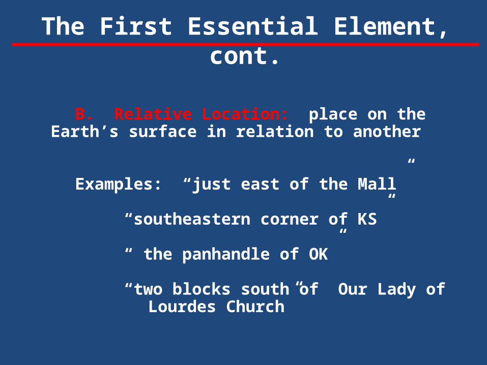
The First Essential Element, cont.
B. Relative Location: place on the Earth’s surface in relation to another
Examples: “just east of the Mall”
“southeastern corner of KS”
“ the panhandle of OK”
“two blocks south of Our Lady of Lourdes Church”
2. Places and Regions: a. Places describe the characteristics (human or
physical) of a location. - landforms, climate, animal life, human population, language, way of life
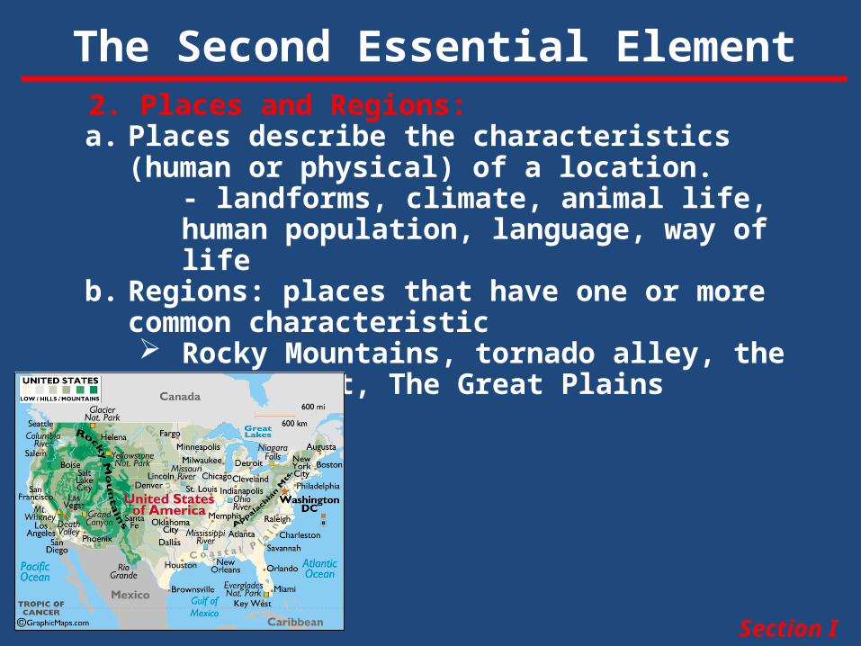
b. Regions: places that have one or more common characteristic Rocky Mountains, tornado alley, the West
Coast, The Great Plains
The Second Essential Element
Section I
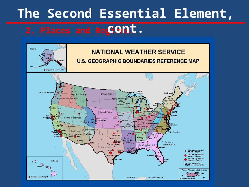
2. Places and Regions:
The Second Essential Element, cont.
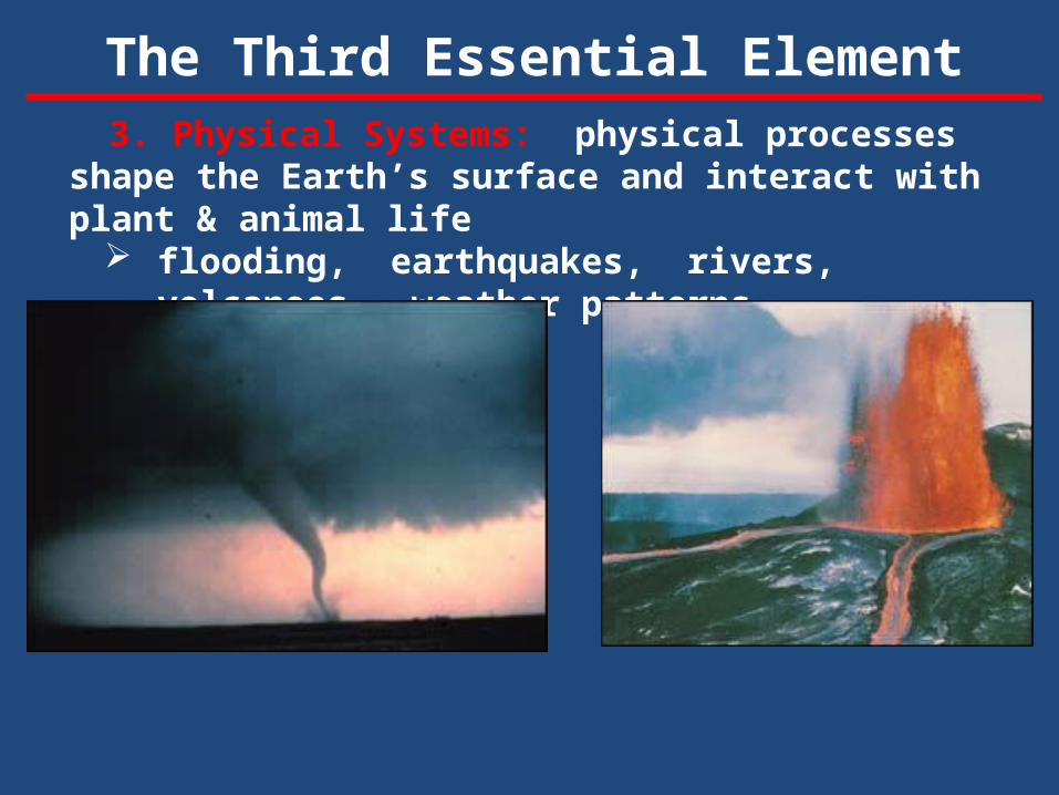
3. Physical Systems: physical processes shape the Earth’s surface and interact with plant & animal life
flooding, earthquakes, rivers, volcanoes, weather patterns.
The Third Essential Element
4. Human Systems: People are central to geography. Our activities help shape the Earth’s surface, settlements & structures.
Farming & ranching Migration patterns Wars Governments Religions
Movement-People move for many reasons including new jobs, to attend special schools, to be closer to family, to move away from a place (Dust Bowl), or to move to a place (Gold Rush)
The movement of ideas or behaviors from one place to another is diffusion (to spread).
The Fourth Essential Element
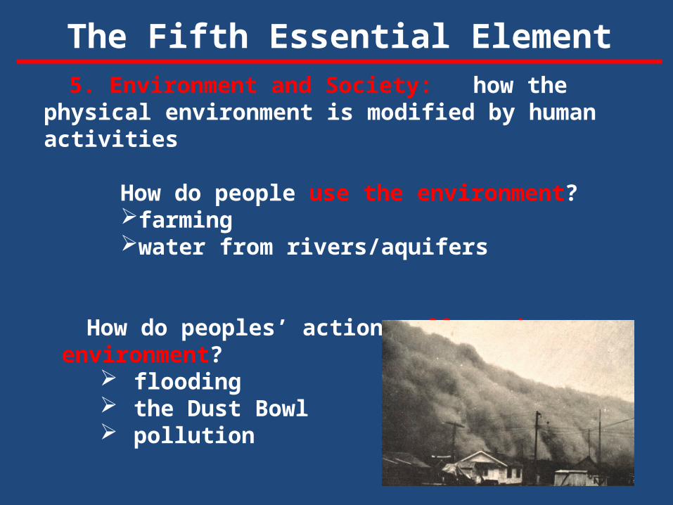
5. Environment and Society: how the physical environment is modified by human activities
How do people use the environment?farmingwater from rivers/aquifers
How do peoples’ actions affect the environment? flooding the Dust Bowl pollution
The Fifth Essential Element
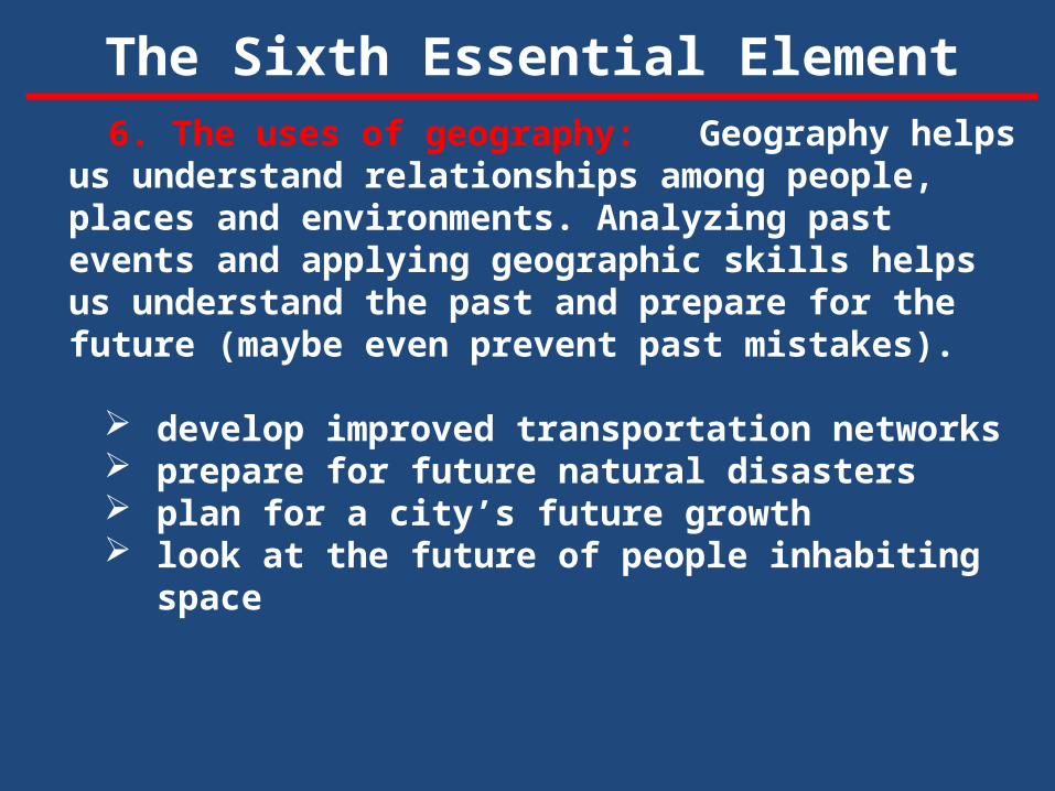
6. The uses of geography: Geography helps us understand relationships among people, places and environments. Analyzing past events and applying geographic skills helps us understand the past and prepare for the future (maybe even prevent past mistakes).
develop improved transportation networks prepare for future natural disasters plan for a city’s future growth look at the future of people inhabiting space
The Sixth Essential Element
Everyone does! We find our way to a new place – a new friend’s
house, a restaurant, an amusement park. We know where locations are when we watch the
news/sports – the crisis in the Ukraine; the World Cup.
We plan a vacation. We make the choice to protect our environment.
Some professions: cartography meteorology community development military tourism conservation/recycling
Who Uses Geography
Section I