Embed Size (px)
Citation preview
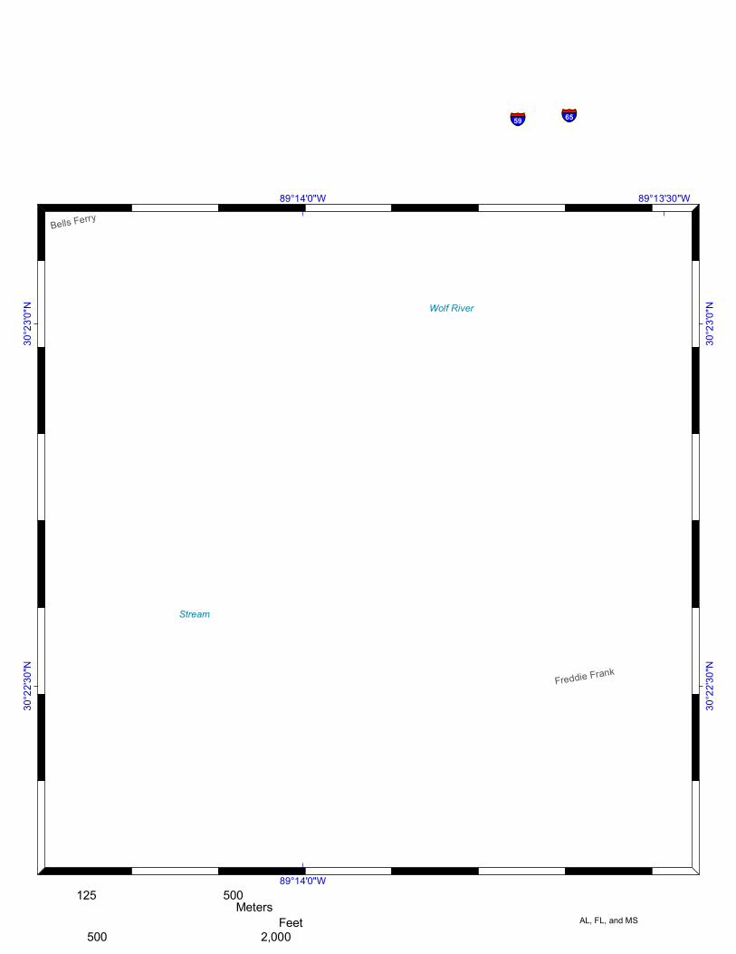
Wolf RiverWolf River
StreamStream
Menge
Freddie Frank
Bells Ferry
Wolf River Boat Launch
89°13'30"W
89°13'30"W
89°14'0"W
89°14'0"W
30°2
3'0"N
30°2
3'0"N
30°2
2'30"N
30°2
2'30"N
Wolf River Boat LaunchUSCG Sector Mobile Digital ACP Staging Area Report
§̈¦10§̈¦65§̈¦59
Harrison CountyLegend
Staging Area; Boat Ramp; Marina
Staging Area; Boat Ramp
Boat Ramp; Marina
Staging Area Boat Ramp
Marina ¯1/2 Mile Buffer of Staging Areas
0 250 500125Meters
0 1,000 2,000500Feet
Report Produced August 2009 by FWC-FWRI
Funded by USCG and USEPAin cooperation with the States of
AL, FL, and MS

Wolf River Boat Launch
Sector Mobile Digital ACP Spill Response Staging Area Report
Latitude (DD): Longitude (DD):
Wolf River Boat LaunchHarrison County
MS-21
Longitude (DMS):Latitude (DMS):
-89.2318200001986 30.3783683331873
89° 13' 54.55" W 30° 22' 42.13" N
Site Type: Staging Area; Boat Ramp
Public or Private: Public
Access Constraint No Access Contraints
Operating Hours: 24/7
N/A. UnknownManaging Agency: Phone (if available):
Photographs (Available Online):
GRP Map #:
Launch Capability:
Number of Ramps:
Number of Piers:
RAMP - Boats UNDER 25 FT
1.00
Number of Lanes:
Ramp Composition:
Number of Slips:
Number of Moorings:
Observed Water Depth:
At Observed Tide Level:
1.00
Cement or Asphalt; Gravel/Dirt
0.00
0.00
0.00
4 - 6 feet
Low
Relative Wave Energy:
Soft Stem Veg.; Hard Stem Veg.
Relative Wave Energy - Low
Crane Capability:
Not suitable for crane
Parking:
Semi-Truck/Trailers:
Vac-Trucks:
Truck w/Boat Trailers
Pick-up Trucks:
Cars:
1.00
1.00
10.00
5.00
15.00
Storage:
Small Utility Trailers
Medium Trailers (20'-30'):
Large Trailers (>30'):
3.00
1.00
0.00
Fuel:
Water:
Pumpout:
Bathrooms:
Electricity:
Food:
No Fuel
No Water
No Pumpout
No Restrooms
No Electricity Available
None
Shoreline Types:
Data Collector: State of Mississippi
8/25/2009Report produced on: