Embed Size (px)
Citation preview
1
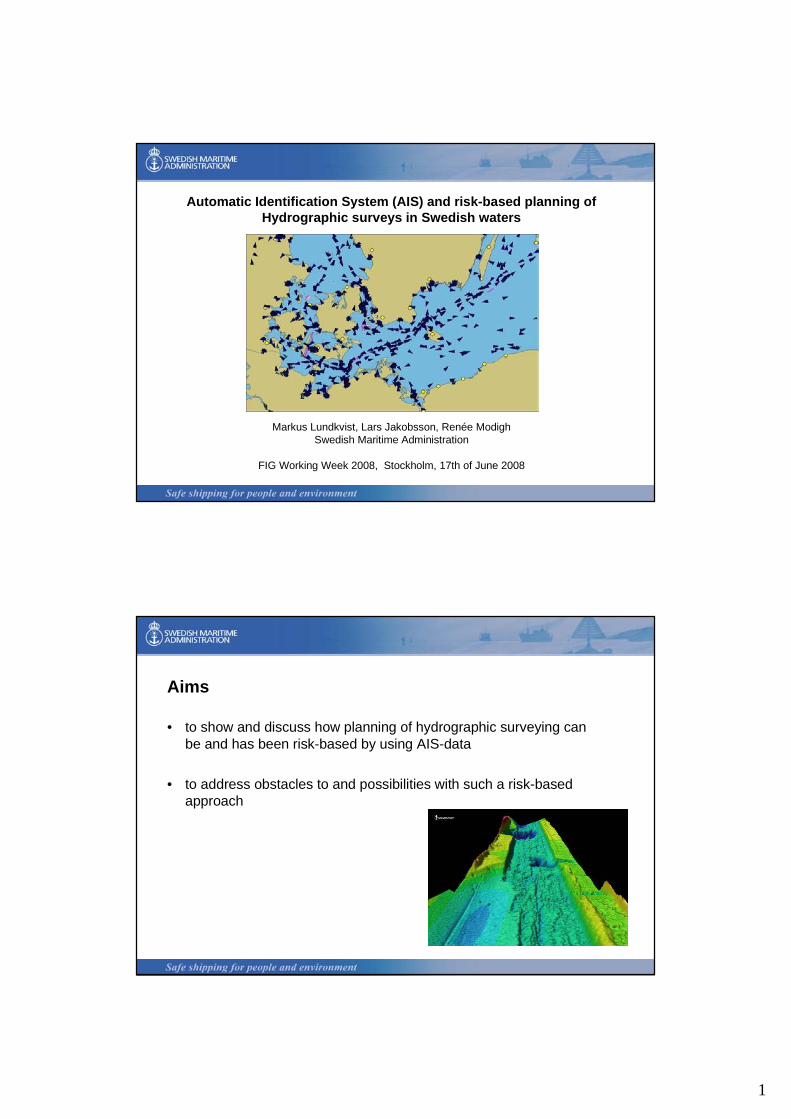
Automatic Identification System (AIS) and risk-based planning ofHydrographic surveys in Swedish waters
Markus Lundkvist, Lars Jakobsson, Renée ModighSwedish Maritime Administration
FIG Working Week 2008, Stockholm, 17th of June 2008
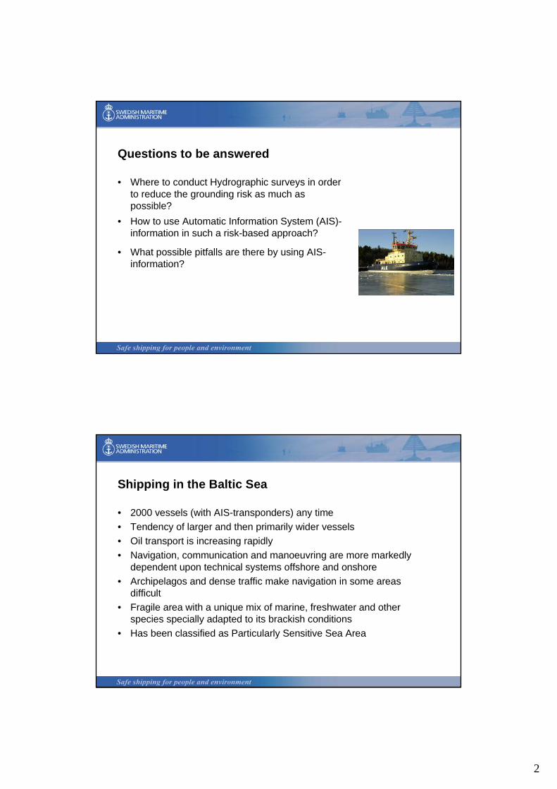
Aims
• to show and discuss how planning of hydrographic surveying can be and has been risk-based by using AIS-data
• to address obstacles to and possibilities with such a risk-based approach
2
Questions to be answered
• Where to conduct Hydrographic surveys in order to reduce the grounding risk as much as possible?
• How to use Automatic Information System (AIS)-information in such a risk-based approach?
• What possible pitfalls are there by using AIS-information?
Shipping in the Baltic Sea
• 2000 vessels (with AIS-transponders) any time • Tendency of larger and then primarily wider vessels • Oil transport is increasing rapidly • Navigation, communication and manoeuvring are more markedly
dependent upon technical systems offshore and onshore• Archipelagos and dense traffic make navigation in some areas
difficult• Fragile area with a unique mix of marine, freshwater and other
species specially adapted to its brackish conditions • Has been classified as Particularly Sensitive Sea Area
3
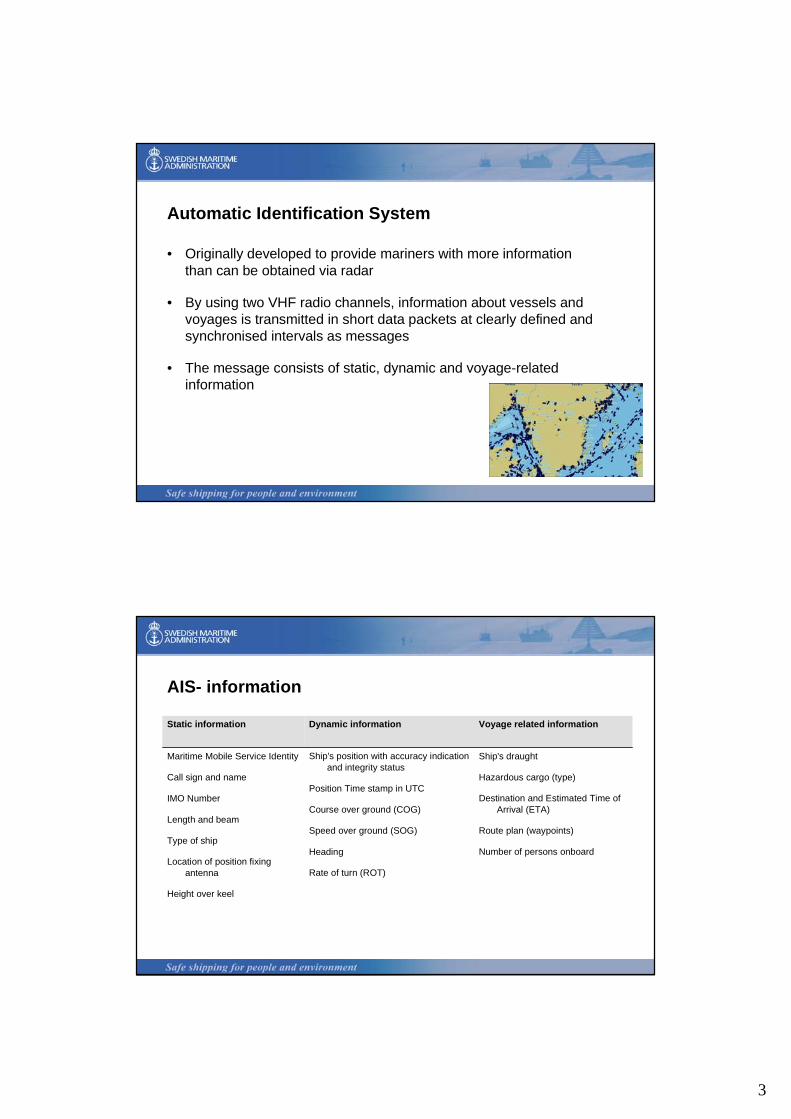
Automatic Identification System
• Originally developed to provide mariners with more information than can be obtained via radar
• By using two VHF radio channels, information about vessels and voyages is transmitted in short data packets at clearly defined and synchronised intervals as messages
• The message consists of static, dynamic and voyage-related information
AIS- information
Ship's draught
Hazardous cargo (type)
Destination and Estimated Time of Arrival (ETA)
Route plan (waypoints)
Number of persons onboard
Ship's position with accuracy indication and integrity status
Position Time stamp in UTC
Course over ground (COG)
Speed over ground (SOG)
Heading
Rate of turn (ROT)
Maritime Mobile Service Identity
Call sign and name
IMO Number
Length and beam
Type of ship
Location of position fixing antenna
Height over keel
Voyage related informationDynamic informationStatic information
4
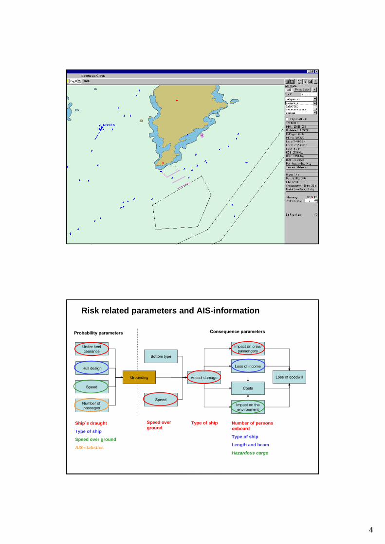
Hull design
Vessel damage
Impact on crew/passengers
Impact on theenvironment
Costs
Loss of goodwill
Loss of income
Speed
Bottom type
Probability parameters Consequence parameters
Under keelcearance
Grounding
SpeedNumber of passages
Ship´s draught
Type of ship
Speed over ground
AIS-statistics
Speed over ground
Type of ship Number of persons onboard
Type of ship
Length and beam
Hazardous cargo
Risk related parameters and AIS-information

5
Present and planned surveys (S44) and ship tracks of tankers during one week in July 2007 in the Bornholm Gat between Denmark and Sweden.
6
Pitfalls
• Future needs of surveying might be different than present and historical traffic imply
• Draught data has to be changed by the mariner
• Estimating risk levels by combining various parameters of importance for both grounding probabilities and consequences is not an easy task
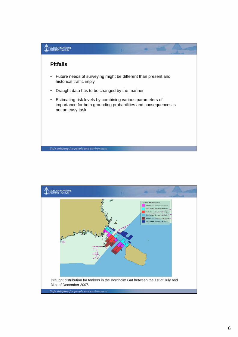
Draught distribution for tankers in the Bornholm Gat between the 1st of July and 31st of December 2007.
7
Conclusions
• AIS-data can be used in order to consider the grounding risk as a basis for planning of Hydrographic surveying in Swedish waters
• AIS has so far contributed to the planning of surveying but further development is looked for. Uncertainty in addressing the future grounding risk can cause either costs for grounding accidents or costs for a non-optimal priority of Hydrographic surveying.
• There are pitfalls related to the utilisation of historic tracks for future traffic estimation, input of draught data and estimation of risk level by balancing different parameters.
Thank You for the attention!