Embed Size (px)
Citation preview
Transport Assessment and
Modelling for Development
Mike Salter
Transport Assessment Manager
Cambridgeshire County Council
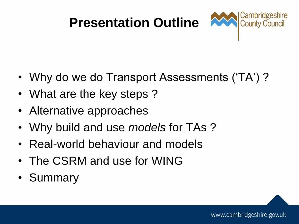
Presentation Outline
• Why do we do Transport Assessments (‘TA’) ?
• What are the key steps ?
• Alternative approaches
• Why build and use models for TAs ?
• Real-world behaviour and models
• The CSRM and use for WING
• Summary
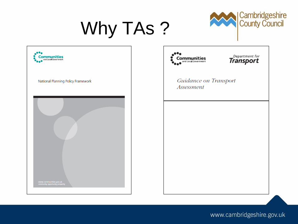
Why TAs ?
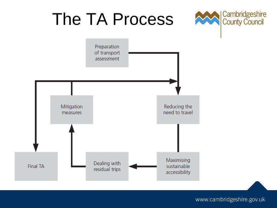
The TA Process
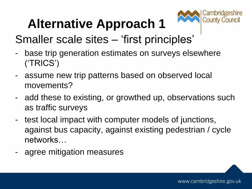
Alternative Approach 1
Smaller scale sites – ‘first principles’ - base trip generation estimates on surveys elsewhere
(‘TRICS’)
- assume new trip patterns based on observed local
movements?
- add these to existing, or growthed up, observations such
as traffic surveys
- test local impact with computer models of junctions,
against bus capacity, against existing pedestrian / cycle
networks…
- agree mitigation measures
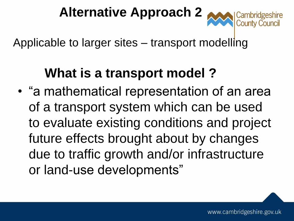
Alternative Approach 2
Applicable to larger sites – transport modelling
What is a transport model ?
• “a mathematical representation of an area
of a transport system which can be used
to evaluate existing conditions and project
future effects brought about by changes
due to traffic growth and/or infrastructure
or land-use developments”
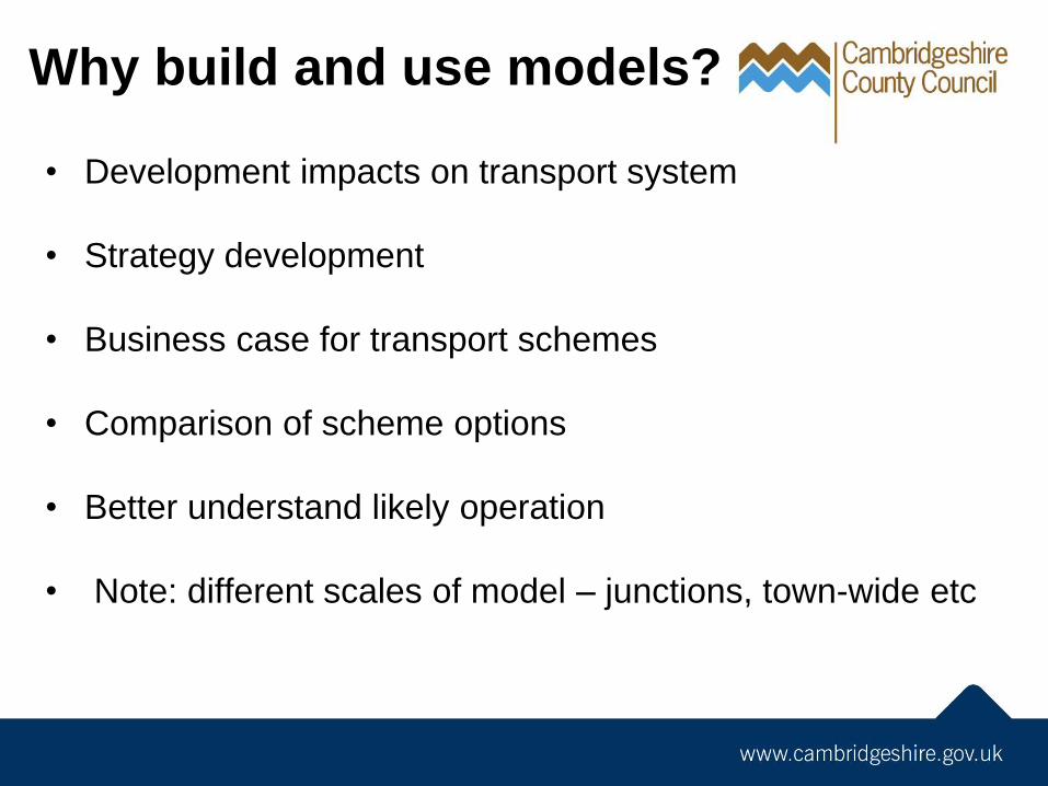
Why build and use models?
• Development impacts on transport system
• Strategy development
• Business case for transport schemes
• Comparison of scheme options
• Better understand likely operation
• Note: different scales of model – junctions, town-wide etc
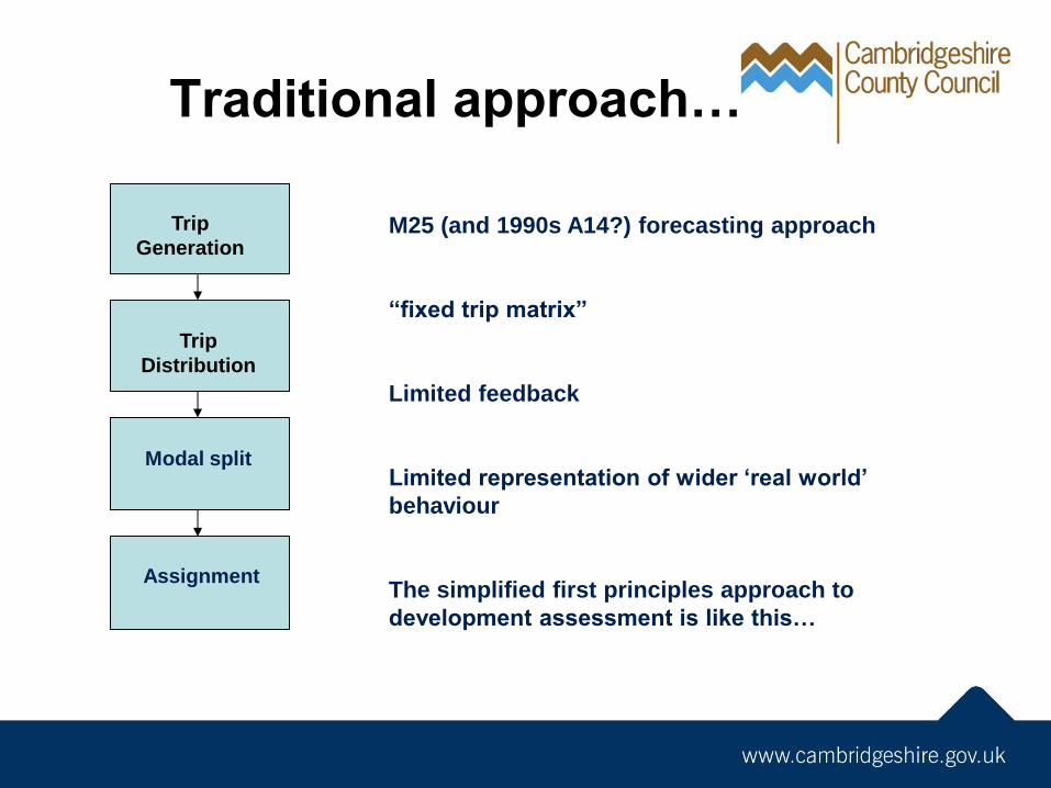
Traditional approach…
Trip
Generation
Trip
Distribution
Modal split
Assignment
M25 (and 1990s A14?) forecasting approach
“fixed trip matrix”
Limited feedback
Limited representation of wider ‘real world’
behaviour
The simplified first principles approach to
development assessment is like this…
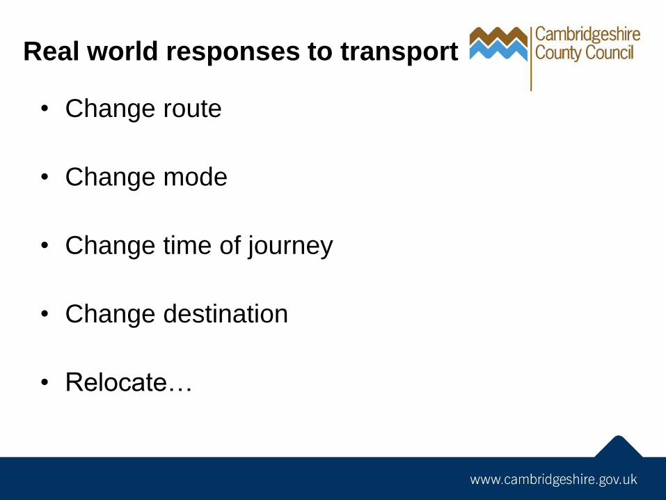
Real world responses to transport
• Change route
• Change mode
• Change time of journey
• Change destination
• Relocate…
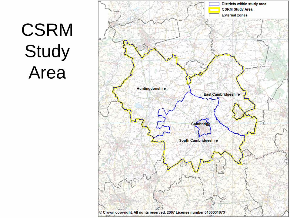
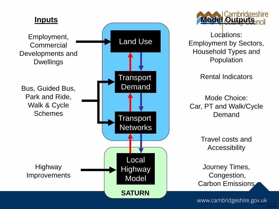
CSRM
Study
Area
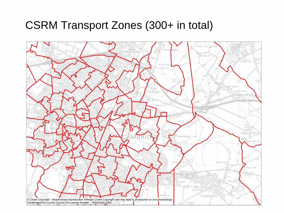
CSRM Transport Zones (300+ in total)
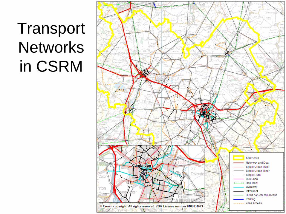
Transport
Networks
in CSRM
Version 3.0 TJG
23/03/09
Transport
Demand
Transport
Networks
Land Use
Local
Highway
Model
Employment,
Commercial
Developments and
Dwellings
Bus, Guided Bus,
Park and Ride,
Walk & Cycle
Schemes
Highway
Improvements
Inputs
Locations:
Employment by Sectors,
Household Types and
Population
Rental Indicators
Mode Choice:
Car, PT and Walk/Cycle
Demand
Travel costs and
Accessibility
Model Outputs
Journey Times,
Congestion,
Carbon Emissions
SATURN
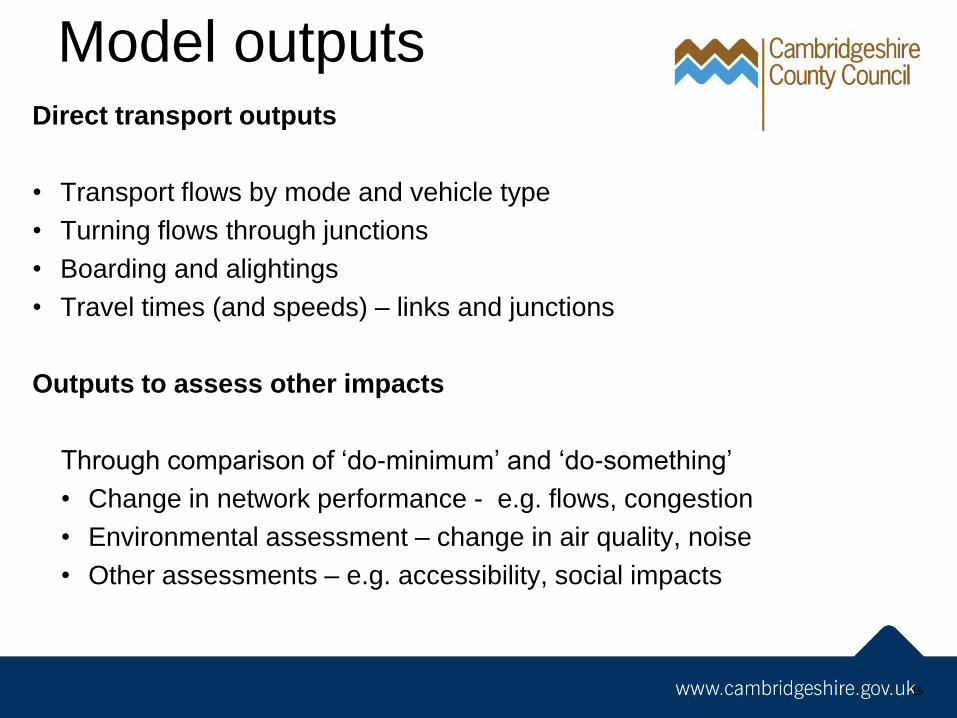
Model outputs
15
Direct transport outputs
• Transport flows by mode and vehicle type
• Turning flows through junctions
• Boarding and alightings
• Travel times (and speeds) – links and junctions
Outputs to assess other impacts
Through comparison of ‘do-minimum’ and ‘do-something’
• Change in network performance - e.g. flows, congestion
• Environmental assessment – change in air quality, noise
• Other assessments – e.g. accessibility, social impacts
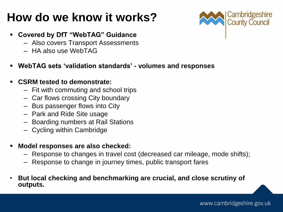
How do we know it works?
Covered by DfT “WebTAG” Guidance
– Also covers Transport Assessments
– HA also use WebTAG
WebTAG sets ‘validation standards’ - volumes and responses
CSRM tested to demonstrate:
– Fit with commuting and school trips
– Car flows crossing City boundary
– Bus passenger flows into City
– Park and Ride Site usage
– Boarding numbers at Rail Stations
– Cycling within Cambridge
Model responses are also checked:
– Response to changes in travel cost (decreased car mileage, mode shifts);
– Response to change in journey times, public transport fares
• But local checking and benchmarking are crucial, and close scrutiny of outputs.
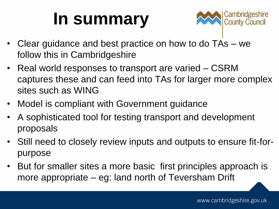
In summary
• Clear guidance and best practice on how to do TAs – we
follow this in Cambridgeshire
• Real world responses to transport are varied – CSRM
captures these and can feed into TAs for larger more complex
sites such as WING
• Model is compliant with Government guidance
• A sophisticated tool for testing transport and development
proposals
• Still need to closely review inputs and outputs to ensure fit-for-
purpose
• But for smaller sites a more basic first principles approach is
more appropriate – eg: land north of Teversham Drift

![Passenger Transport Modelling [T1] · 2014-12-19 · Draft for Stakeholder Comment – Passenger Transport Modelling [T1] Transport and Infrastructure Council | 2014 National Guidelines](https://img.pdfslide.us/doc/110x75/5e797bbdaa4c0b0f3e2b526a/passenger-transport-modelling-t1-2014-12-19-draft-for-stakeholder-comment-a.jpg)