Embed Size (px)
Citation preview

Town of Raymond, New Hampshire
Completed CTAP Community Planning Assessment
Summary Report & Questionnaire
Prepared on Behalf of the Town of Raymond By:
The Southern New Hampshire Planning Commission
Town of Raymond, New Hampshire
1
EXECUTIVE SUMMARY
Community Planning Assessment Report
This report is a summary of the CTAP Community Planning Assessment which was completed using the gathered information from the Community Planning Assessment
Questionnaire. This questionnaire is attached at the end of the Final Summary History and Purpose: The Community Technical Assistance Program (CTAP) is in the second year of a five-year process. The New Hampshire Department of Transportation (NHDOT) initiated CTAP to provide support to communities projected to experience growth as a result of the Interstate 93 Expansion Project which stretches from Salem to Concord. The goal of the first phase of the program is to conduct Community Planning Assessments of those municipalities designated by the NH DOT as most likely to be affected by the expected increase in population. There are 26 CTAP-designated communities along the I93 corridor and a Community Planning Assessment has been conducted for each town. Eleven of these municipalities are located within the Southern New Hampshire Planning Commission Region and include Auburn, Bedford, Candia, Chester, Deerfield, Derry, Goffstown, Hooksett, Londonderry, Manchester, and Raymond. The primary purpose of the Community Planning Assessment is to identify the policies and regulations these municipalities currently have in place to effectively prepare and manage growth. Process: The Community Planning Assessment consists of more than 100 questions. The survey is centered around the following four major planning themes:
Theme A. – Community Infrastructure and Regional Cooperation Theme B. – Environmental Protection, Land Use, and Open Space Theme C. – Downtowns, Village Centers, and Community Vitality Theme D. - The Local Economy
The CTAP Steering Committee determined that the questions developed from these themes should address most of the growth concerns of municipalities affected by the Interstate 93 Expansion Project. The attached Community Planning Assessment for the Town of Raymond, New Hampshire was completed through a review by Town officials, Planning Board members, and staff at the Southern New Hampshire Planning Commission. The results are intended to provide community leaders and municipal officials with a basis to make decisions concerning the implementation of policies to address potential growth issues. These results are identified in this Executive Summary.
Town of Raymond, New Hampshire
2
Findings: The major planning needs and weaknesses identified by the Community Planning Assessment prepared for the Town of Raymond, New Hampshire are listed as follows: Key Recommendations:
1. Add Traffic Calming Techniques to town land use regulations 2. Consider providing tax exemptions for alternative energy use 3. Consider the creation of an Open Space Committee 4. Explore an infill development policy or ordinance 5. Consider design guidelines for future commercial and residential
development 6. Create a strategy for protecting farmlands 7. Reference Right to Farm Law in zoning ordinance
CTAP COMMUNITY ASSESSMENT REPORT Part I
Introduction The Community Technical Assistance Project (CTAP) was implemented in an attempt to help member communities grapple with potential growth issues due to the expansion of Interstate 93. The first phase of the five-year process was to conduct Community Planning Assessments of those municipalities most likely to experience growth due to the expansion of I-93. The ultimate goal of the Community Planning Assessment process is to determine whether communities have policies and regulations in place to manage potential growth effectively. The I-93 expansion is projected to last until 2012. In an effort to minimize the effects of potential growth, the New Hampshire Department of Transportation (NH DOT) identified 26 municipalities stretched out along the I93 as areas most likely to be impacted. Some of the potential growth impacts that the CTAP communities could experience include, increased population, traffic, and a greater demand for housing. Consequently, if growth does occur in some or all of these areas, increased demand in municipal services across the board will be expected. CTAP communities will have to plan accordingly.
Town of Raymond, New Hampshire
3
More than 100 questions were developed by professional planners and municipal officials involved in the CTAP process in an effort to determine if CTAP communities have policies and regulations in place to adequately address potential growth issues. These assessment questions were answered by reviewing existing town web sites, ordinances, regulations and city policies. The assessment questions were also answered with assistance from the municipal planners and other officials in each community. Many of the assessment questions provide insight as to the status of the community’s growth policies and the vision of the CTAP community towards its future development. The questions deal with many different planning issues including land use and mixed-use policies, zoning, minimum-lot requirements, historical preservation, open space, environmental protection, housing, water quality, economic development, and transportation. Furthermore, the assessment is designed to gauge the level at which public participation is present in each of the communities. Prior to the publication of this report, municipal officials and Planning Board members of the Town of Raymond were asked to review the preliminary findings of the community planning assessment and any possible growth issues that may have come to light as a result of the survey. This was accomplished at a regular scheduled meeting of the Raymond Planning Board. The assessment questions provided discussion venues where municipal officials and planning board members could voice concerns and ask questions. In developing this report, the SNHPC considered the insights, concerns, and recommendations offered, as well as other communications provided throughout the process and has included these where appropriate. As a result, this report should be viewed as a starting point or as a guide for future planning activities and goals. A copy of the Community Planning Assessment prepared for Raymond is attached.

Town of Raymond, New Hampshire
4
Part II
Theme A
Community Infrastructure and Regional Cooperation The purpose of this theme is to determine how CTAP communities have planned for the future in terms of the provision and funding for municipal services. This may include new facilities and other infrastructure improvements to help meet these needs. In addition, Theme A considers how effective CTAP communities have been, and will be, regarding regional cooperation with other local municipalities in an effort to better serve constituents. Special attention is given to communication strategies and cooperation initiatives between communities within the region. Theme A generated 42 questions dealing with the funding and delivery of municipal services, regional cooperation among local governments, housing, and transportation. The Steering Committee identified a number of broad goals that CTAP-designated communities should strive to accomplish. These goals are outlined below:
Goals
• Promote the establishment of consistent funding approaches to help pay for
improved and expanding public infrastructure and services. Local governments should make certain that their funding strategies are adequate to meet the new level of service provision to meet projected growth needs.
• Evaluate the need for regional cooperation between local governments.
Regional approaches can often embellish the delivery of public services and environmental quality, avoid the possible duplication of services, and better allocate financial resources.
• Plan for an adequate supply of housing. The housing stock should reflect local
needs and priorities and include housing for a range of income levels. • Implement strategies to promote safe and efficient multi-modal transportation
systems.

Town of Raymond, New Hampshire
5
Findings:
• The town of Raymond regularly participates in mutual aid agreements for police and fire. However, the Town of Raymond does not have mutual aid agreements for solid waste or water.
• Raymond’s Capital Improvement Program (CIP) was revised in 2007 and projected through 2012
• Raymond does use TIF districts • Raymond currently uses Impact Fees for schools and is considering adding
Impact Fees for police and fire facility improvements • The town of Raymond has an Age Restricted Housing ordinance and Elderly
Tax Exemptions • Raymond lacks an Inclusionary Housing Ordinance for affordable and
workforce housing • There are currently no on road bicycle facilities or accommodations. • Current land use regulations do not require sidewalks or bicycle paths within
new residential or commercial developments • Lack of Traffic Calming Techniques contained within the town’s land use
regulations or Master Plan. Recommendations: The lack of an Inclusionary housing ordinance will be addressed in the Master Plan update being completed by the SNHPC. The creation of a bicycle pathway throughout town along with other pedestrian paths will help make the community more walkable. Perhaps requiring trails or pedestrian connections between developments in the plan review process should be explored. Specific traffic calming techniques should also be implemented by the town. Affordable housing is currently being discussed and researched in detail as a part of the new master plan update which would help draw in new residents and permit those currently living in town to remain there.
Town of Raymond, New Hampshire
6
Theme B
Environmental Protection, Land Use, and Open Space
The purpose of this theme is to determine how CTAP communities have planned for the protection of land in a way that is consistent and compatible with future growth trends. To achieve these goals communities must focus on future land use strategies and determine how these would help to promote the preservation of natural resources, open space, and environmental protection. Theme B generated 38 questions dealing with natural resources, green infrastructure, parks and recreational opportunities, rural character, and the preservation of agricultural lands and forests. The Steering Committee identified a number of broad goals that CTAP-designated communities should strive to accomplish. These goals are outlined below:
Goals
• Promote the preservation and protection of natural resources when addressing
the economic needs of the community and region. • Protect natural resources and the environment including ground water, aquifers,
wildlife, and wildlife corridors. • Establish and conserve an interconnected green infrastructure and ensure public
access to open space, parks, and other recreational opportunities. • Maintain rural character whenever possible especially forests and farms.

Town of Raymond, New Hampshire
7
Findings: • Current land use regulations do provide for a range of lot sizes from one-half
acre, two acres, and three acres • The Town of Raymond has two zoning districts that allow for a mix of
residential and commercial uses • The town does not provide property tax exemptions for alternative energy
use • The town does not currently have a Natural Resources Inventory, however
the Raymond Conservation Commission recently voted to implement a Natural Resources Inventory in the near future
• The town has a Conservation Overlay District which acts to protect wetlands • The community lacks wetland buffer requirements • Raymond has storm water management and erosion control regulations in
effect • The State Shoreland Protection Act applies to portions of the Lamprey River
and several Great ponds in town. • Raymond lacks an Open Space Committee • 50% open space is mandated in the conservation subdivision regulations and
mixed use business park. Recommendations: The Town of Raymond has been active in environmental protection and developed many land use regulations pertaining to protection of wetlands, open spaces, and water source and quality protection. One step the town could take to encourage energy conservation and greater environmental awareness is to provide property tax exemptions for alternative energy use. The town should pursue a Natural Resources Inventory. Wetland buffer requirements are another regulatory tool that could be a corollary to existing water protection ordinances. The town should also consider the formation of an Open Space Committee.
Town of Raymond, New Hampshire
8
Theme C
Downtown/Village Centers and Community Vitality
The purpose of this theme is to determine how the CTAP communities have planned for the development and preservation of vibrant community centers which would include an extensive array of cultural and recreational resources. The overall intent is to enhance public participation by establishing areas for community activities around the downtown or common community village center which would add rural character and promote a sense of vitality to the village center. Theme C generated 16 questions dealing with the development of village center districts and the promotion of walkable downtown areas in an effort to maintain the small town New England community tradition. Special emphasis was given to the development of main streets, historic preservation, and landscaping.
The Steering Committee identified a number of broad goals that CTAP-designated communities should strive to accomplish. These goals are outlined below:
Goals
• Develop or enhance downtowns and village centers through the reuse of existing infrastructure and the rehabilitation of buildings with historic value.
• Promote the development of walkable downtown areas which are consistent with
historic patterns.
• Enhance Main streets and promote a small, New England town atmosphere.
Findings:
• The Town of Raymond lacks a downtown zone or village district zone • Lack of policy to locate new public buildings near the community center • Lack of infill development policy or ordinance • Mixed uses are not allowed in the central village area • Lack of design guidelines for new commercial and residential development. • The community’s ordinance does require the installation of street trees and
landscaping for new and enlarged developments • Residents and business owners are aware of the town Master plan through
references in town reports and studies as well as through the town website.
Town of Raymond, New Hampshire
9
Recommendations: The Town of Raymond should study the feasibility of amending the zoning ordinance to include a village district zone. This would promote a walkable downtown area concept which, with the extension of bicycle paths, could become a viable alternative means of local travel. Infill development is another regulatory tool that assures growth patterns do not encourage greater sprawl, through density requirements and efficiency in land use development. The Town of Raymond should consider these land use changes as a way of protecting the town’s aesthetic quality and protecting open spaces and environmentally sensitive lands.
Theme D
Local Economy The purpose of this theme is to determine if the CTAP community has enacted policies that promote economic viability, foster a prosperous business environment, and support agricultural development. The development of a strong local economy should result in increased local employment opportunities and livable wages. Theme D generated 15 questions dealing with the development of economic development strategies, commercial and agricultural development, and tax incentives to attract new business development.
The Steering Committee identified a number of broad goals that CTAP-designated communities should strive to accomplish. These goals are outlined below:
Goals
• Support sustainable and balanced economic growth that reflects the current tax
base.
• Strengthen local agriculture and forestry through the support of related infrastructure and economic systems.
• Support the development of new jobs and livable wages.
Town of Raymond, New Hampshire
10
Findings:
• The Town of Raymond is currently working towards development of an Economic Development Plan as a goal for 2007/2008
• Raymond does not participate in the Main Street program • Multifamily development is permitted within the C-2 zone • The Town of Raymond does not provide tax incentives for business to locate
in the community center (this is mainly due to significant septic and sewer issues within the town center)
• The town currently lacks a strategy for protecting farmlands • The mapping of farm locations and prime agricultural lands will be a part of
the new master plan update • Lack of Agricultural Inventory • Lack of districts that are restricted for agricultural use • Right to farm law not referenced in zoning ordinance
Recommendations: The town of Raymond has not planned for the preservation of farmlands and local agriculture. The town should develop a comprehensive strategy for protecting farmlands which should include the mapping of current farm locations and prime agricultural lands. This would help in the creation of an agricultural inventory much akin to the idea of a natural resources inventory. Protecting farmlands is vital to assuring the sustainability of local agriculture and the culture and rural community character of the Town of Raymond.
Summary
Overall Findings:
1. Add Traffic Calming Techniques to town land use regulations 2. Consider providing tax exemptions for alternative energy use 3. Consider the creation of an Open Space Committee 4. Explore an infill development policy or ordinance 5. Consider design guidelines for future commercial and residential
development 6. Create a strategy for protecting farmlands 7. Reference Right to Farm Law in zoning ordinance
Town of Raymond, New Hampshire
11
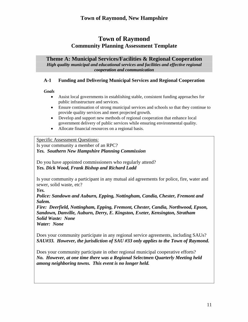
Town of Raymond
Community Planning Assessment Template
Theme A: Municipal Services/Facilities & Regional Cooperation High quality municipal and educational services and facilities and effective regional
cooperation and communication
A-1 Funding and Delivering Municipal Services and Regional Cooperation
Goals • Assist local governments in establishing stable, consistent funding approaches for
public infrastructure and services. • Ensure continuation of strong municipal services and schools so that they continue to
provide quality services and meet projected growth. • Develop and support new methods of regional cooperation that enhance local
government delivery of public services while ensuring environmental quality. • Allocate financial resources on a regional basis.
Specific Assessment Questions: Is your community a member of an RPC? Yes. Southern New Hampshire Planning Commission Do you have appointed commissioners who regularly attend? Yes. Dick Wood, Frank Bishop and Richard Ladd Is your community a participant in any mutual aid agreements for police, fire, water and sewer, solid waste, etc? Yes. Police: Sandown and Auburn, Epping, Nottingham, Candia, Chester, Fremont and Salem. Fire: Deerfield, Nottingham, Epping, Fremont, Chester, Candia, Northwood, Epson, Sandown, Danville, Auburn, Derry, E. Kingston, Exeter, Kensington, Stratham Solid Waste: None Water: None Does your community participate in any regional service agreements, including SAUs? SAU#33. However, the jurisdiction of SAU #33 only applies to the Town of Raymond. Does your community participate in other regional municipal cooperative efforts? No. However, at one time there was a Regional Selectmen Quarterly Meeting held among neighboring towns. This event is no longer held.
Town of Raymond, New Hampshire
12
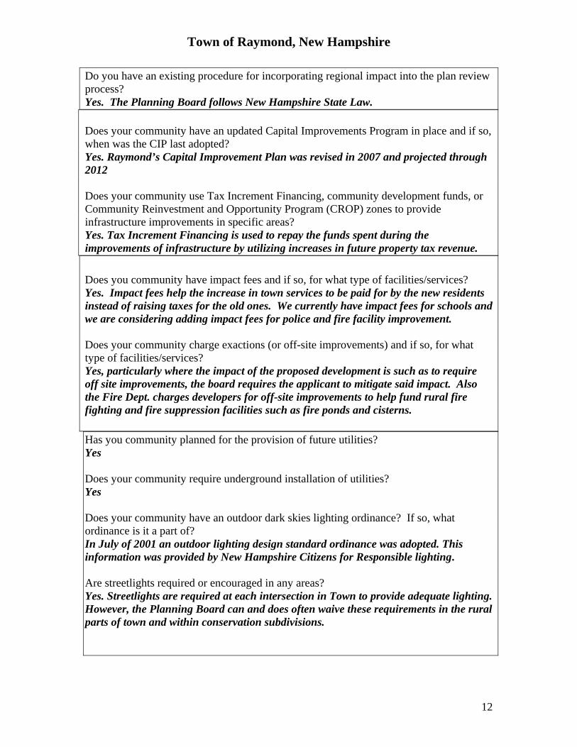
Do you have an existing procedure for incorporating regional impact into the plan review process? Yes. The Planning Board follows New Hampshire State Law. Does your community have an updated Capital Improvements Program in place and if so, when was the CIP last adopted? Yes. Raymond’s Capital Improvement Plan was revised in 2007 and projected through 2012 Does your community use Tax Increment Financing, community development funds, or Community Reinvestment and Opportunity Program (CROP) zones to provide infrastructure improvements in specific areas? Yes. Tax Increment Financing is used to repay the funds spent during the improvements of infrastructure by utilizing increases in future property tax revenue. Does you community have impact fees and if so, for what type of facilities/services? Yes. Impact fees help the increase in town services to be paid for by the new residents instead of raising taxes for the old ones. We currently have impact fees for schools and we are considering adding impact fees for police and fire facility improvement. Does your community charge exactions (or off-site improvements) and if so, for what type of facilities/services? Yes, particularly where the impact of the proposed development is such as to require off site improvements, the board requires the applicant to mitigate said impact. Also the Fire Dept. charges developers for off-site improvements to help fund rural fire fighting and fire suppression facilities such as fire ponds and cisterns. Has you community planned for the provision of future utilities? Yes Does your community require underground installation of utilities? Yes Does your community have an outdoor dark skies lighting ordinance? If so, what ordinance is it a part of? In July of 2001 an outdoor lighting design standard ordinance was adopted. This information was provided by New Hampshire Citizens for Responsible lighting. Are streetlights required or encouraged in any areas? Yes. Streetlights are required at each intersection in Town to provide adequate lighting. However, the Planning Board can and does often waive these requirements in the rural parts of town and within conservation subdivisions.
Town of Raymond, New Hampshire
13
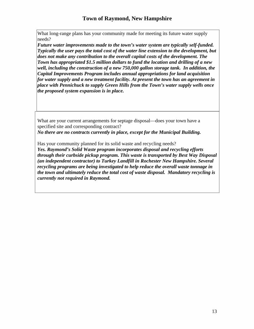
What long-range plans has your community made for meeting its future water supply needs? Future water improvements made to the town’s water system are typically self-funded. Typically the user pays the total cost of the water line extension to the development, but does not make any contribution to the overall capital costs of the development. The Town has appropriated $1.5 million dollars to fund the location and drilling of a new well, including the construction of a new 750,000 gallon storage tank. In addition, the Capital Improvements Program includes annual appropriations for land acquisition for water supply and a new treatment facility. At present the town has an agreement in place with Pennichuck to supply Green Hills from the Town’s water supply wells once the proposed system expansion is in place. What are your current arrangements for septage disposal—does your town have a specified site and corresponding contract? No there are no contracts currently in place, except for the Municipal Building. Has your community planned for its solid waste and recycling needs? Yes. Raymond’s Solid Waste program incorporates disposal and recycling efforts through their curbside pickup program. This waste is transported by Best Way Disposal (an independent contractor) to Turkey Landfill in Rochester New Hampshire. Several recycling programs are being investigated to help reduce the overall waste tonnage in the town and ultimately reduce the total cost of waste disposal. Mandatory recycling is currently not required in Raymond.

Town of Raymond, New Hampshire
14
A-2 Housing Goal
• Ensure an adequate supply of affordable housing stock for a range of income levels that reflects regional and local needs and priorities.
Specific Assessment Questions: How has your community planned for future housing needs? An annual informational meeting is held dealing with Raymond’s existing and projected housing needs. The Planning Board reviews local land use regulations in order to determine if the regulations adequately encourage the construction of quality affordable housing. Cooperation and work with outside resource agencies such as The Southern New Hampshire Planning Commission and the NH Housing and Finance Authority allow Raymond to determine the exact number of households with an affordable housing need. Are the population and employment projections within your Master Plan consistent with regional and state projections? The state and regional population projections are relatively similar to the projections displayed in the master plan. Does the community’s Master Plan reference and/or make use of the regional housing needs assessment in evaluating the housing needs within the community? No. However, the town is currently updating its master plan and this will be included. Where within your community is new residential growth occurring? All over town, especially at Exit 4. Do the community’s land use regulations provide for a wide range of housing types (single-family, duplexes, manufactured homes, apartments, etc.)? Yes Are accessory apartments permitted/allowed? No. Does the community’s land use regulations allow multi-family (> or = 2 units per dwelling) residences? Yes. Does your community have an age-restricted housing ordinance? If so, is it limited to 55+ or 62+? Yes. Raymond does have an age-restricted housing ordinance. These facilities are inclusive for persons 55 years of age and older.
Town of Raymond, New Hampshire
15
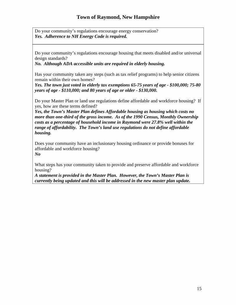
Do your community’s regulations encourage energy conservation? Yes. Adherence to NH Energy Code is required. Do your community’s regulations encourage housing that meets disabled and/or universal design standards? No. Although ADA accessible units are required in elderly housing. Has your community taken any steps (such as tax relief programs) to help senior citizens remain within their own homes? Yes. The town just voted in elderly tax exemptions 65-75 years of age - $100,000; 75-80 years of age - $110,000; and 80 years of age or older - $130,000. Do your Master Plan or land use regulations define affordable and workforce housing? If yes, how are these terms defined? Yes, the Town’s Master Plan defines Affordable housing as housing which costs no more than one-third of the gross income. As of the 1990 Census, Monthly Ownership costs as a percentage of household income in Raymond were 27.8% well within the range of affordability. The Town’s land use regulations do not define affordable housing. Does your community have an inclusionary housing ordinance or provide bonuses for affordable and workforce housing? No What steps has your community taken to provide and preserve affordable and workforce housing? A statement is provided in the Master Plan. However, the Town’s Master Plan is currently being updated and this will be addressed in the new master plan update.
Town of Raymond, New Hampshire
16
A-3 Transportation Goal
• Promote safe, efficient, accessible, and diverse multi-modal transportation solutions for services and goods.
Specific Assessment Questions: Do the provisions of the master plan and zoning ordinance encourage a continuous street network? How is the connectivity of new streets ensured? Yes. The planning board encourages and requires it where they can by restricting the length of dead end roads. However, the town has no overall street layout plan or an official street map. Are cul-de sacs addressed (in the context of the street network of the town) in your regulations? If so, what aspects are regulated? Yes. Cul de Sacs and turn around shall have an interior landscaped green area with a minimum radius of 50 feet, paved width of 25 feet and a radius to property line distance of 90 feet. All Radii shall be calculated from the center line of intersect of the roadway and Cul de Sac. The minimum length of a cul-de-sac is 850 feet to the throat per the town’s subdivision regulations. Does the Planning Board permit design waivers for reduced pavement width and the installation of cape-cod curbs? Yes. Are dead-end streets permitted and if so, what is the maximum street length allowed? Yes, 1,000 feet, but this length has been waived if homes are sprinkled and fire hydrants are installed. Does the community’s road standards reflect the character and topography of the existing area in terms of slope and sight distance? Yes, streets shall be logically related to and in harmony with existing topography so as to reduce disturbance to slopes and wetlands. Do road standards vary depending on anticipated traffic volumes? Yes. Under the town’s subdivision regulations, the width of the paved traveled way shall be a minimum of 26 feet wide. Bituminous Asphalt Paving shall be a minimum of 4 inches thick applied in two courses consisting of a 2 ½ inch binder and a 1 ½ inch wearing course. The review of any site plan conducted by the Board under these regulations shall ascertain that adequate provisions have been made by the owner or his/her authorized agent for traffic safety. To facilitate this review, the board shall require the developer to submit the traffic impact analysis when deemed necessary due to the size, location, or traffic generating characteristic of the development.
Town of Raymond, New Hampshire
17
What is the community’s policy for issuing building permits on Class VI roads? An applicant must apply first to the Board of Selectmen for a building permit on a class VI road. The request is then referred to the Planning Board and Board of Adjustment for a recommendation. If it is approved, the applicant must sign a non-liability waiver before the permit can be issued. Has the community considered bicycle or pedestrian transportation on a town-wide scale in the Master Plan or other planning documents? Yes, the town has worked with the state to promote and encourage the abandoned rail corridors be converted into multiuse paths. There are currently no on road bicycle facilities or accommodations. Do the land use regulations require sidewalks or bicycle paths or other pedestrian paths within new residential or commercial development? No. Are trails or other pedestrian connections required or considered between developments in the plan review process? No. Do parking requirements in the community vary by use classification or zoning district? If so, what are they? Yes, the town’s parking requirements vary by type of use. Does the community permit/encourage or require sub-compact parking spaces? No. Do the communities parking regulations include maximum as well as minimum parking requirements, i.e., setting a limit on the amount of parking allowed? No, minimum only. Do the community’s regulations and transportation planning practices encourage the implementation of traffic calming techniques? No. There are no specific provisions or regulations for traffic calming contained within the town’s land use regulations or master plan. The town’s master plan is currently in the process of being updated and transportation will be a key element of the updated plan. In order for traffic calming to be considered, it would need to be implemented as a waiver to the town’s road construction and design standards. Do the community’s land use regulations require the submission of traffic impact studies or analyses for new and enlarged developments? If so, when is a study required? Yes.
Town of Raymond, New Hampshire
18
Does your community encourage alternative transportation? If so, is this accomplished through the land use regulations or other means? Yes, Raymond’s Master Plan states as Objective 6 of Chapter 7 that the use of alternative transportation modes such as public transportation, car pooling, park and ride facilities, and a regional bike plan is to be encouraged. If transit or other transportation alternatives exist, does your community encourage or allow transit-oriented development? No. Does the community have access management standards? Are they restricted to a specified area in the community or to specified uses? Yes. Does the community have a memorandum of understanding with the DOT regarding driveway access on state highways? No. They defer to DOT when people need access from state highway.
Town of Raymond, New Hampshire
19
Theme B: Environmental Protection, Land Use, and Open Space
Strengthened protection and expanded access to natural resources and open space
Environmental Protection, Land Use, and Open Space Protection Goals
• Protect natural resources in harmony with meeting economic needs of the community and the region.
• Protect natural resources and environmental health, including ground water and aquifers, wildlife, and wildlife corridors.
• Establish and conserve an interconnected green infrastructure. • Ensure convenient and nearby public access to open space, parks, and recreational
opportunities. • Maintain unique and diverse rural character of the community and region by
protecting and preserving farm and forestlands.
Specific Assessment Questions: Land Use Does your Master Plan have a vision chapter and a land use chapter? There is no Vision chapter however the Land Use Chapter is the first chapter of Raymond’s Master Plan and it contains the goals and objectives set forth for the community. Has your community updated your Master Plan within the last five years? If not, how old is your plan? Raymond is currently in the process of updating their master plan. The most recent copy that is being used was completed in February of 2002 In what ways is your zoning ordinance consistent/or not consistent with the recommendations and projected land uses in the Master Plan? The town’s existing Master Plan never anticipated use of the Sewer Overlay District (SOD) district for proposed and pending development at Exit 4 in Raymond. Does your community’s zoning ordinance allow innovative land use techniques as listed in RSA 674:21? If so, which ones? Yes. Mixed-use business campus, impact fees, elderly housing. Do the community’s land use plans and regulations establish minimum densities to promote efficient use of land? Yes. Zone A allows a higher density than Zone B. Does the community have different land use plans for villages, town center districts, other neighborhoods, and open, less dense rural areas? No. Do your community’s regulations provide for a range of lot sizes? If so, what are they? Yes, one-half, one acre, two acres and three acres. Conservation areas have no set lot size
Town of Raymond, New Hampshire
20
Does your Master Plan and land use regulations encourage higher density development where water, sewer, and other infrastructure currently exist? Yes. Does the community’s Master Plan encourage, and the zoning ordinance provide, for at least one or more zoning districts that allow a mix of residential and commercial uses? Yes, the SOD and CZ zone which allows retail below and residential above Do the community’s land use plans encourage traditional neighborhood development or the development of new villages? No. Does your community’s zoning ordinance allow backlots? No. Does your community’s zoning and/or development patterns locate nonresidential uses along major roadways or are those uses concentrated at intersections of major roads in a “village” or node? Yes at Exit 4 and within the C1 and C2 zones. Does your community have an historic resources inventory? Historic district(s)? Demolition delay bylaw? Yes. Raymond has an historic resources inventory and an Historic Overlay District (Zone F) designed to protect and preserve Raymond’s Historical identity. However, the town has no demolition delay permit process. Are there any brownfields located in the community and does the community have any local plans to redevelop them? According to SNHPC’s Southern New Hampshire Region Brownfield’s Community-Wide Assessment Grant Application for Hazardous Substances and Petroleum Contaminated Sites, there are 5 hazardous substance and 65 petroleum contaminated sites in Town. Raymond was selected to receive two Brownfield cleanup grants. Redevelopment for these sites is being planned and one in particular, Rex Leather Tannery, is to be turned into a water treatment facility aimed to help solve the failing septic system problems the town has been experiencing. Does the community provide a property tax exemption for alternative energy installations per RSA 72:61-74? No.
Town of Raymond, New Hampshire
21
Specific Assessment Questions: Natural Resources What strategies and actions is the community taking to protect natural areas? Raymond has created a Conservation District (Overlay Zone) designed to protect the interests, public health, safety and welfare of the community by preserving the Town’s Lakes, Ponds, River systems, wetlands and other wildlife habitat in order to maintain ecological values that are present in the community. Also, as part of Raymond’s zoning Ordinance, a Conservation Development chapter has been included for the purpose of conserving open land, reduce erosion and sedimentation, and conserve scenic views and elements of the Town’s character. Also included in this section is reference to multiple options for landowners in order to minimize impacts on the environmental resources and disturbance of natural and cultural features. Does the community have a Natural Resources Inventory? If yes, when was the last inventory conducted? No, however a motion was made and accepted recently by the Raymond Conservation Commission to implement a Natural Resources Inventory in the near future. In addition, the town has detailed maps prepared of the Forest. Are there any local boards or commissions active in environmental protection? Yes. Raymond has a Conservation Commission which is active in preserving the integrity of Raymond’s natural resources and open, undeveloped lands. In addition to these local organizations, Raymond has also worked with The Society for the Protection of New Hampshire Forests, New Hampshire Land and Community Heritage Commission, River and Trails Conservation Assistance Program, The Natural Conservancy, and Bear-Paw Regional Greenways. Does your community participate in the National Flood Insurance Program? Yes. Does the community’s land use regulations prohibit development within the floodplain and if so, how? Yes. Section IV, Suitability of Land, is designed to regulate use on lands unsuitable for development due to poorly drained soils, flood hazard, steep slopes or other conditions constituting danger to the health, safety, and integrity of the environment and the towns residents. Development proposals on such lands shall not be approved unless suitable methods have been proposed to overcome any such conditions. Do the community’s land use regulations require best management practices in its drainage, sedimentation and erosion control measures and if so, what examples are included? Yes, the Conservation Development section of the Town’s zoning ordinance has aimed to reduce the erosion and sedimentation of the Town’s land by retention of existing vegetation and the minimization of development on steep slopes.
Town of Raymond, New Hampshire
22
Do the regulations require the submittal of drainage calculations and stormwater management plans? Yes. The submittal of a storm drainage plan designed and stamped by a Professional Engineer including plans for retention and slow release of storm water where necessary and plans for snow removal is required. Does the community have regulations for erosion and sediment control during construction as well as post-construction? Yes Raymond has storm water management and erosion control regulations in place to govern all future and existing development. Adequate provisions shall be made to accommodate the increased runoff made by changed soil and surface conditions during and after development. What storm interval(s) are required for drainage analysis calculations? 25-year, but the town engineer is currently asking for 50-year. Has the community adopted a stormwater management ordinance? Yes, Raymond has storm water management and erosion control regulations in effect, which are meant to control runoff, soil erosion and sedimentation due to development. Does the community have regulations for gravel excavating operations? Yes. Has the community adopted a Wetlands Conservation District? No. However, Raymond has a Conservation Overlay District – “G” zone which acts to protect wetlands. Does the community have wetland buffer or setback requirements and if so, what are they? Yes. The current setback is a minimum of 25 feet. There is no buffer requirement. Have prime wetlands been inventoried and mapped within the community? Are there regulations in place protecting prime wetlands? No. Does the community have an Aquifer Protection Ordinance? Yes. 3.340 of the Raymond Zoning Ordinance is the Zone I Groundwater Conservation District. 3.341 is Raymond’s Groundwater protection district. What mapping source is the basis of the district? USGS mapping.

Town of Raymond, New Hampshire
23
Has the community developed a Wellhead Protection Program and local regulations? Yes. Raymond has a Town Wellhead protection program dated May, 1992. Raymond also has a Water Resource Management and Protection plan dated March 1993 prepared by SNHPC. Does the community have land use regulations in place to protect surface water resources? Yes. Does the community have Shoreland or Riparian Buffer regulation in place? No. However, the State Shoreland Protection Act applies to portions of the Lamprey River and several Great Ponds in town. The CSPA does not apply to smaller tributaries and streams. Does the community’s land use regulations utilize LID1performance standards and/or encourage use o f environmentally-friendly techniques and materials, such as porous pavement? No. Has the community adopted the recommendations found in the Land Conservation Plan for New Hampshire’s Coastal Watersheds, the Wildlife Action Plan, or the Natural Services Network? If not, would the community like more information about these plans? Yes. The Planning Board would like more information about these studies and would like to include this information in the new master plan update. Has the community adopted regulations to protect wildlife or wildlife habitat? No. The Town’s land use regulations do not specifically address wildlife and wildlife Habitat. However, the preservation of natural features of a site such as streams, lakes or ponds, marshes, wooded areas, highly erodeable areas, major trees, and flood plains are to be preserved on the site of a new development. What actions, if any, has the community taken in cooperation with neighboring communities to protect wildlife or wildlife habitat at the regional scale? None. While the town attempts to accomplish this through conservation subdivisions, the Planning Board would be interested in obtaining more information about this.
1 LID is “low-impact development”, a series or network of stormwater techniques and performance standards that utilize the natural environment to reduce the impacts of development.
Town of Raymond, New Hampshire
24
Specific Assessment Questions: Open Space Preservation Does the community have an Open Space Plan? When was the plan last updated? Yes, the Raymond Open Space Plan was adopted May 15, 2003. Does the community’s Master Plan consider the protection and preservation of wildlife habitats? Yes. The Town’s Master Plan mentions the Special Resource Areas in Town such as Wildlife and Rare Species/Exemplary Natural Communities. The NH Natural Heritage inventory is a program which finds, tracks, and facilitates protection of New Hampshire’s rare plants, animals, and exemplary natural communities. NHI directly oversees the protection of Raymond’s Wildlife and their habitats. Do the community’s zoning districts require a minimum amount of open space in each development? Yes, 50% in the conservation subdivision regulations and mixed-use business park. Do the community’s land use regulations require developers to connect open spaces to existing greenways and other open space destinations within the community? No. Do the community’s land use regulations allow/require/or promote conservation subdivisions? Are conservation subdivisions mandatory in any zoning district within the community? If so, what is the acreage requirement? Is a density bonus offered? Yes. However, conservation subdivisions are not mandatory. At the present time, only one density bonus is offered under the conservation subdivision option. Does the community’s land use regulations require new development to consider existing natural landscape features in the design of the site? Yes What funding mechanisms has the community approved to acquire open space? (For example, bonds, the dedication of current use penalty taxes, capital reserve fund or conservation fund for land protection and acquisition, other mechanisms)? Currently, the only form of open space acquisition in Raymond is through the use of the Conservation Fund which is funded by 40% of the current use change tax proceeds the town receives in any one given year. If your community dedicates current use penalties for land protection and acquisition, what is the percentage? 40 percent. Does your community have an open space committee and/or an active local land trust? No. Raymond currently only has a Conservation Commission.

Town of Raymond, New Hampshire
25
Theme C: Downtown/Village Centers and Community Vitality
Vital, diverse, safe, and participatory communities with rural character, vibrant community centers, and a wide range of cultural and recreational resources
C-1 Downtowns and Village Centers
Goals • Target and support new development and redevelopment of existing downtowns and
village centers, reusing built infrastructure, and rehabilitating buildings of historic value.
• Promote walkable downtowns and villages consistent with historic patterns within the community and region.
• Maintain small community New England “feel” with vibrant community centers and main streets, and historic preservation of buildings and landscape.
Specific Assessment Questions: Does your community have an established traditional compact center or village area? If so, how many are there and what are they commonly named? Yes. Raymond has traditional compact village center which offers goods and services as well as provides a setting for Raymond’s local government functions including the Town Hall, Library, Recreation Department and Fire Station. Does your community’s zoning support these areas? No, there is no downtown zone or village district zone. Does your community have in place a Village Master Plan or Village Plan Alternative Ordinance? No. Does your community have a policy to locate new public buildings near the community center? No. Are there public places that encourage community gathering such as parks, central plains/greens, or community centers? Yes. In 2002, pedestrian improvements were made to the village center to promote use of the town common. Does your community have an infill development policy2 or ordinance in place? No.
2 Infill development is defined by EPA as “a strategy for accommodating growth and preventing sprawl through greater density and efficiency in land use development.” Examples include rear lot development, redevelopment in existing developed areas, etc.
Town of Raymond, New Hampshire
26
Are residential uses and mixed uses encouraged or allowed within the central village or traditional downtowns area? No. Does your community have a sign ordinance? What are its dimensional/ and other key provisions? Yes. There is a general sign ordinance which applies to the entire town and more specific regulations which apply to the SOD. Has your community designated scenic roads? If so, how many and what are they named? Yes. There is only one scenic road -- Longhill Road. Does your community have design guidelines for new commercial and residential development? If so, are these guidelines advisory or mandatory? No Is the maximum size and scale of new development as permitted in the community’s zoning ordinance an appropriate scale for the community? Yes. The scale of new development is controlled through the town’s building height and setback requirements. Does your community’s ordinance require the installation of street trees and landscaping for new and enlarged developments, both along existing roads and on roads to be constructed? Yes. Does your community’s ordinance encourage the preservation of existing trees within the right-of-way of existing and proposed roadways? Yes. Does your community’s ordinances preserve and enhance stone walls, both along the rights-of-way of roadways and across the landscape? If so, what ordinances are used to accomplish this? Yes through the site plan review process. However, there are no regulations currently in place.
Town of Raymond, New Hampshire
27
C-2 Vibrant Communities Goals
• Support and encourage safe and diverse communities with a wide range of cultural and recreational resources.
• Foster an atmosphere wherein community members are actively involved and participate in civic life in their communities.
Specific Assessment Questions: Are the citizens within your community active in community planning and growth initiatives? Yes To what extent are community residents and business owners aware of your community’s Master Plan? References in town reports and studies and access via the town’s website. How does your community encourage public involvement and recruit new board members? Community television, advertisements, personal recruiting.
Town of Raymond, New Hampshire
28
Theme D: Local Economy Strengthened economic, business, and agricultural development that provides local
employment and livable wages
D-1 Economic Vitality and Business Development
Goals • Support sustainable and balanced economic growth and tax base. • Support broad-based business development that provides local employment and
livable wages. Specific Assessment Questions: Does your community have an economic development plan? No. But the town has an Economic Development Council in place. Development of an economic development plan for the community is a goal in 2007/2008. Does your community participate in the Main Street program? No Where does your Master Plan anticipate or specify new nonresidential development to take place? Exit 4 and 5 and along the town’s major roadway, but this will be addressed as part of the town’s current master plan update. Where is most of your community’s new commercial or industrial growth occurring? Exit 4 and 5 and along Route 102, but this will be addressed as part of the town’s current master plan update. Is residential development permitted in retail or commercial areas? Yes, within the C-2 zone but only as multifamily development. Does the community provide tax incentives for businesses to locate in the community center or other priority areas, e.g. RSA 79E tax relief for downtown improvements? No. Does the community provide regulatory relief for businesses that locate in the community center? No, there are significant septic and sewer issues within the town center. Has the community identified anchors (such as a post office or municipal building) which could be used to spur economic activity within the community center? Yes, the town Library, Town Hall and the town’s churches.
Town of Raymond, New Hampshire
29
D-2 Agriculture and Rural Working Landscapes Goals
• Strengthen local agriculture and forestry by supporting related infrastructure and economic systems.
Specific Assessment Questions: What strategies for protecting farmland are in your Master Plan? None at this time. This issue will be addressed again as part of the town’s master plan update. How does the community’s Master Plan and zoning ordinance define agriculture? Agriculture is defined as the use of land for the purpose of cultivating the soil, producing farm, forest or horticultural crops/dairy and/or raising livestock, poultry or other farm animals. Commercial Agriculture is defined as agricultural use of the land for the principal purpose of sale either on or off the premises, including any sale facilities located on the premises. Does the zoning ordinance protect lands appropriate for agriculture and forestry with a substantial minimum lot size that discourages single-family tract housing and preserves large sites for forestry or agricultural uses? No. Does the community map the location of farms and prime agricultural soils? To be done as part of new master plan update. Do the ordinances require HISS3 mapping or county soils where on-site septic systems are required? Yes as soils based mapping. Does your community have an Agricultural Inventory? No. Do your community’s ordinances require the mapping of prime soils for agricultural in development proposals? No. Does your community have any districts that are restricted for agricultural uses only? No. Does your community have an agriculture commission? No Does your community reference the right-to-farm law in its zoning ordinance? No.
3 HISS stands for high intensity soils mapping, a site-specific requirements for soils analysis.
Town of Raymond, New Hampshire
30
Other possible questions to ask the audience during the presentation of results: How much do you know about CTAP? Would you like to know more? No comment. What planning tools would be helpful to your community? No comment. What did you think of this survey, and how do you think the town could use this information? No comment.