Embed Size (px)
Citation preview

Three-corner Satellite Imaging Three-corner Satellite Imaging SystemsSystems
Presented by:Presented by:Ryan OldsRyan Olds
Matt CulbrethMatt Culbreth
Matt GaddaMatt Gadda

The Three-Corner Satellite Project
Schools Participating: CU – EEDS and Imaging ASU – Structures and Power Systems NMSU – Radio Systems
Mission Objectives Acquiring Stereoscopic Images of Earth Inter-Satellite Communications Automated Mission Operations

Objectives of the Imaging System
Acquiring Stereoscopic Images of Earth: Using a Formation of Three Satellites to
take coordinated pictures of Earth. Software will be used to analyze pictures
taken and use them to determine the height of objects on Earth.
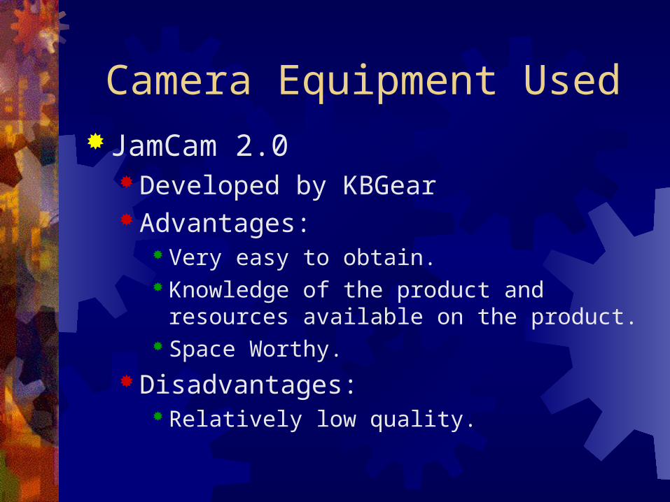
Camera Equipment UsedJamCam 2.0
Developed by KBGear Advantages:
Very easy to obtain. Knowledge of the product and resources
available on the product. Space Worthy.
Disadvantages: Relatively low quality.

JamCam Test ImageJamCam Test Image

Automated Picture Taking Step 1: Turn on the Camera and verify it is
responding to commands. Step 2: Clear the camera memory banks. Step 3: Take a picture. Step 4: Download the picture from the camera
memory to the flight computer memory.
Step 5: Process the image. Step 6: Power down the camera equipment. Step 7: Downlink the image to the ground station on
the next available pass.

Image ProcessingRGB Interpolation:
Averaging routine to transform an 8-bit color image to a 24-bit color image.
8-bit Pixel Color Pattern
Needed green valueNeeded green value
Needed Needed green valuegreen value
Needed blue valueNeeded blue value

8-bit Color 24-bit Color8-bit Color 24-bit Color

Image Processing JPEG Compression:
Advantages: Can achieve 20:1 compression with good picture quality Very well supported by software Programming libraries available
Disadvantages: “Lossy” compression Visual artifacts present at high compression ratios Poor quality when compression high-contrast images

JPEG Compression, Quality = 100%JPEG Compression, Quality = 100%

JPEG Compression, Quality = 10%JPEG Compression, Quality = 10%

Determining Object HeightHeight is determined through
the equation: h = WD(d1 – d2)/S

Determining Object HeightUsing similar triangles, the height equation is easily derived.

Useful ApplicationsWeather Information for Meteorologists.
Determining Cloud Height.Surveillance.
Inter-Planetary Exploration.

Summary The Objectives for the imaging system are to
acquire stereoscopic images of Earth, and to use these pictures to determine object height on Earth.
To accomplish this mission, our team will be using JamCam 2.0 camera equipment, converting the pictures it takes to JPEG files, and transmitting them back to Earth to be analyzed.

References 1) Russ, John C. The Image Processing Handbook. London:
CRC Press, 1994. 2) Pennebaker, W.B. Jpeg: Still Image Data Compression
Standard. New York: Van Nostrand Reinhold, 1992.
Acknowledgements:Thanks to:
Brian Egaas for provided his resources and knowledge of stereo imaging as well as his experimental results for determining object dimensions from stereo images.
Mike Walters for providing experimental results and pictures of his work on
determining object dimensions from stereo images.

Questions?