Embed Size (px)
Citation preview
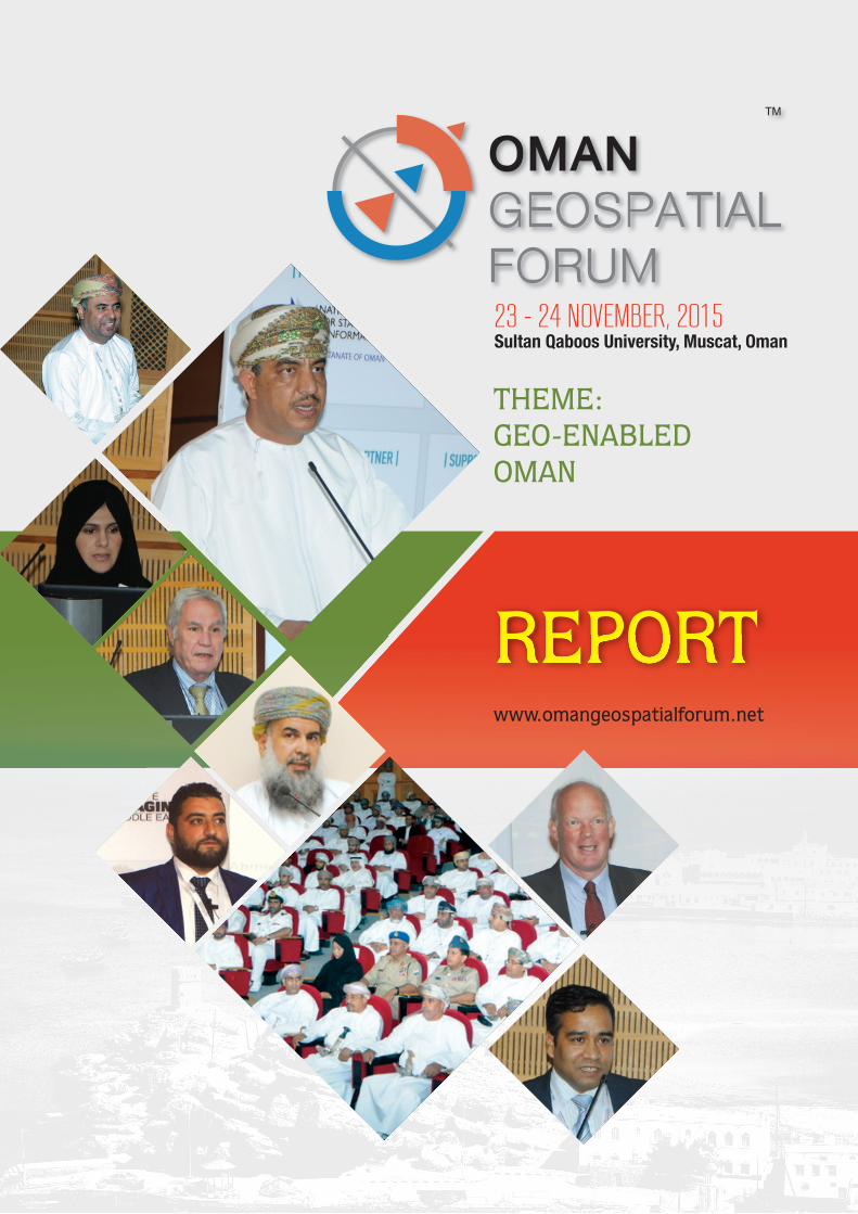
23 - 24 NOVEMBER, 2015Sultan Qaboos University, Muscat, Oman
THEME: GEO-ENABLED OMAN
REPORTREPORTwww.omangeospatialforum.net
Oman GeOSpatial FOrum 2015 | RepoRt 2
repo
rt
Overview
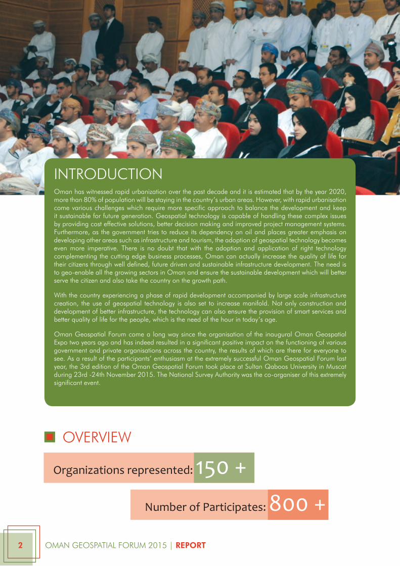
intrOductiOnOman has witnessed rapid urbanization over the past decade and it is estimated that by the year 2020, more than 80% of population will be staying in the country’s urban areas. However, with rapid urbanisation come various challenges which require more specific approach to balance the development and keep it sustainable for future generation. Geospatial technology is capable of handling these complex issues by providing cost effective solutions, better decision making and improved project management systems. Furthermore, as the government tries to reduce its dependency on oil and places greater emphasis on developing other areas such as infrastructure and tourism, the adoption of geospatial technology becomes even more imperative. there is no doubt that with the adoption and application of right technology complementing the cutting edge business processes, Oman can actually increase the quality of life for their citizens through well defined, future driven and sustainable infrastructure development. the need is to geo-enable all the growing sectors in Oman and ensure the sustainable development which will better serve the citizen and also take the country on the growth path.
with the country experiencing a phase of rapid development accompanied by large scale infrastructure creation, the use of geospatial technology is also set to increase manifold. not only construction and development of better infrastructure, the technology can also ensure the provision of smart services and better quality of life for the people, which is the need of the hour in today’s age.
Oman Geospatial Forum come a long way since the organisation of the inaugural Oman Geospatial expo two years ago and has indeed resulted in a significant positive impact on the functioning of various government and private organisations across the country, the results of which are there for everyone to see. as a result of the participants’ enthusiasm at the extremely successful Oman Geospatial Forum last year, the 3rd edition of the Oman Geospatial Forum took place at Sultan Qaboos university in muscat during 23rd -24th november 2015. the national Survey authority was the co-organiser of this extremely significant event.
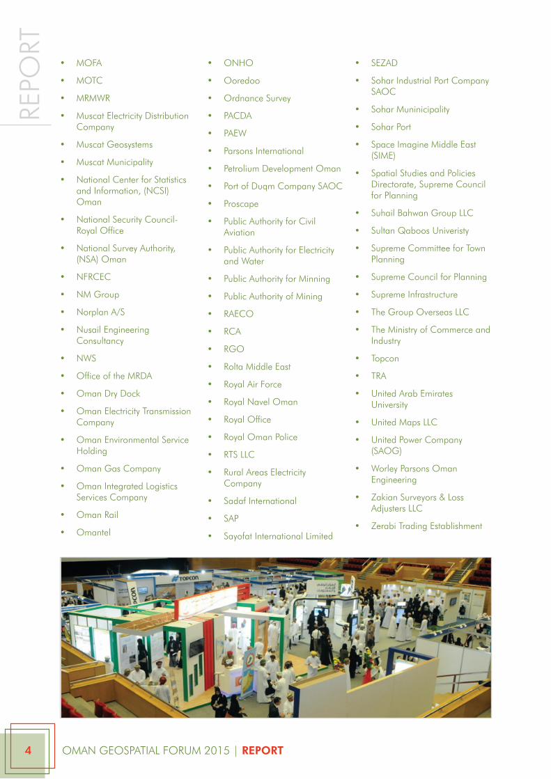
Organizations represented: 150 +
Number of Participates: 800 +
Oman GeOSpatial FOrum 2015 | RepoRt 3
repo
rt
• 3d engineering Surveys limited
• aaB constructions
• aaw & partners llc - consulting engineers
• abc Surveys
• adcc infocad it Services
• airbus
• al ansari trading - Stonex
• al asala
• al Habtoor engineering
• al Hamra construction co.llc
• al mazroui engineering co
• al rawahy technical Services llc (rtS Solutions)
• al warqa Survey engineering
• alec
• al-Hatmy engineering consultancy llc
• al-naboodah
• andam international llc
• apex international technologies & projects llc (apextec)
• arabian Geoinformatics
• architechural engineering consultant
• ard Geographics
• arup
• atlas copco Services me FZe
• aZd land Surveying Services llc
• Bahwan project telecom
• Bahwan projects & telecoms llc
• Bin Salim enterprise llc
• Bin Salman Survey engineering
• Blue Sky computer Servies
• Bp Sultanate of Oman
• cced
• city Surveys
• college of applied Sciences, ministry of Higher education
• daleel petroleum company
• dawood engineering consultancy
• dhofar municipality
• diwan royal court
• dohfar municipality
• duQm - Special economic Zone authoritry
• duqm port
• eSri muscat
• Fugro middle east & partners llc
• German university of technology in Oman (Gutech)
• Global computer Services llc
• Global Scan technologies
• Gmap llc
• Government of Oman
• Gulf triangle Group of companies
• Haya water
• Here
• Higher college of technolgy
• Hmr environmental engineering consultants
• Horizon Survey company (FZc)
• Horizon Survey equipment llc
• HQ raFO
• iecc, Suhail Bahwan autogroup
• iic technologies
• intergraph middle east
• international Geomatics Services
• italferr
• Jal technologies
• Khatib & alami
• Kuwait university
• l&t
• leica Geosystems
• loay international llc
• majan electricity company
• marhaban
• mazoon electricity company SaOc
• mdH infotech llc
• mHc
• ministry of agriculture
• ministry of agriculture and Fishers
• ministry of civil Service for planning
• ministry of commerce and industry
• ministry of culture and Heritage.
• ministry of defence
• ministry of education
• ministry of environment
• ministry of environment and climate affairs
• ministry of Foreign affairs
• ministry of Health
• ministry of Heritage and culture
• ministry of housing
• ministry of interior
• ministry of manpower
• ministry of Oil and Gas
• ministry of regional municipalities and water resources
• ministry of regional municipality
• ministry of Social development
• ministry of tourism
• ministry of transport and communication
• ministry of water resource
• mOe
Oman GeOSpatial FOrum 2015 | RepoRt 4
repo
rt• mOFa
• mOtc
• mrmwr
• muscat electricity distribution company
• muscat Geosystems
• muscat municipality
• national center for Statistics and information, (ncSi) Oman
• national Security council- royal Office
• national Survey authority, (nSa) Oman
• nFrcec
• nm Group
• norplan a/S
• nusail engineering consultancy
• nwS
• Office of the mrda
• Oman dry dock
• Oman electricity transmission company
• Oman environmental Service Holding
• Oman Gas company
• Oman integrated logistics Services company
• Oman rail
• Omantel
• OnHO
• Ooredoo
• Ordnance Survey
• pacda
• paew
• parsons international
• petrolium development Oman
• port of duqm company SaOc
• proscape
• public authority for civil aviation
• public authority for electricity and water
• public authority for minning
• public authority of mining
• raecO
• rca
• rGO
• rolta middle east
• royal air Force
• royal navel Oman
• royal Office
• royal Oman police
• rtS llc
• rural areas electricity company
• Sadaf international
• Sap
• Sayofat international limited
• SeZad
• Sohar industrial port company SaOc
• Sohar muninicipality
• Sohar port
• Space imagine middle east (Sime)
• Spatial Studies and policies directorate, Supreme council for planning
• Suhail Bahwan Group llc
• Sultan Qaboos univeristy
• Supreme committee for town planning
• Supreme council for planning
• Supreme infrastructure
• the Group Overseas llc
• the ministry of commerce and industry
• topcon
• tra
• united arab emirates university
• united maps llc
• united power company (SaOG)
• worley parsons Oman engineering
• Zakian Surveyors & loss adjusters llc
• Zerabi trading establishment
Oman GeOSpatial FOrum 2015 | RepoRt 5
repo
rt
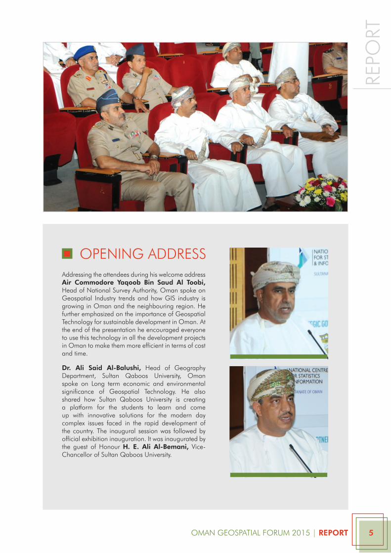
addressing the attendees during his welcome address Air Commodore Yaqoob Bin Saud Al toobi, Head of national Survey authority, Oman spoke on Geospatial industry trends and how GiS industry is growing in Oman and the neighbouring region. He further emphasized on the importance of Geospatial technology for sustainable development in Oman. at the end of the presentation he encouraged everyone to use this technology in all the development projects in Oman to make them more efficient in terms of cost and time.
Dr. Ali Said Al-Balushi, Head of Geography department, Sultan Qaboos university, Oman spoke on long term economic and environmental significance of Geospatial technology. He also shared how Sultan Qaboos university is creating a platform for the students to learn and come up with innovative solutions for the modern day complex issues faced in the rapid development of the country. the inaugural session was followed by official exhibition inauguration. it was inaugurated by the guest of Honour H. e. Ali Al-Bemani, vice-chancellor of Sultan Qaboos university.
OpeninG addreSS
Oman GeOSpatial FOrum 2015 | RepoRt 6
repo
rt
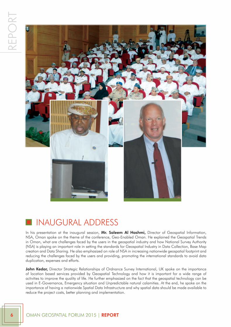
inauGural addreSSin his presentation at the inaugural session, Mr. Saleem Al Hashmi, director of Geospatial information, nSa, Oman spoke on the theme of the conference, Geo-enabled Oman. He explained the Geospatial trends in Oman, what are challenges faced by the users in the geospatial industry and how national Survey authority (nSa) is playing an important role in setting the standards for Geospatial industry in data collection, Base map creation and data Sharing. He also emphasized on role of nSa in increasing nationwide geospatial footprint and reducing the challenges faced by the users and providing, promoting the international standards to avoid data duplication, expenses and efforts.
John Kedar, director Strategic relationships of Ordnance Survey international, uK spoke on the importance of location based services provided by Geospatial technology and how it is important for a wide range of activities to improve the quality of life. He further emphasized on the fact that the geospatial technology can be used in e-Governance, emergency situation and unpredictable natural calamities. at the end, he spoke on the importance of having a nationwide Spatial data infrastructure and why spatial data should be made available to reduce the project costs, better planning and implementation.
Oman GeOSpatial FOrum 2015 | RepoRt 7
repo
rt
plenary KeynOte SeSSiOn
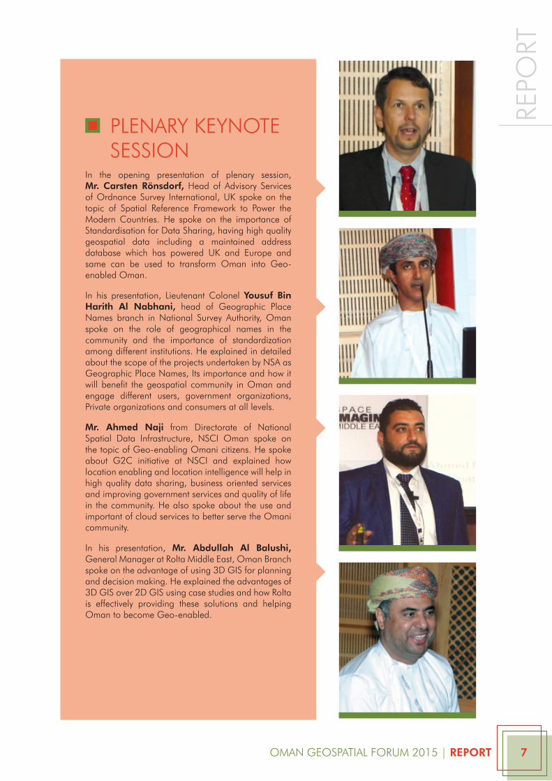
in the opening presentation of plenary session, Mr. Carsten Rönsdorf, Head of advisory Services of Ordnance Survey international, uK spoke on the topic of Spatial reference Framework to power the modern countries. He spoke on the importance of Standardisation for data Sharing, having high quality geospatial data including a maintained address database which has powered uK and europe and same can be used to transform Oman into Geo-enabled Oman.
in his presentation, lieutenant colonel Yousuf Bin Harith Al Nabhani, head of Geographic place names branch in national Survey authority, Oman spoke on the role of geographical names in the community and the importance of standardization among different institutions. He explained in detailed about the scope of the projects undertaken by nSa as Geographic place names, its importance and how it will benefit the geospatial community in Oman and engage different users, government organizations, private organizations and consumers at all levels.
Mr. Ahmed Naji from directorate of national Spatial data infrastructure, nSci Oman spoke on the topic of Geo-enabling Omani citizens. He spoke about G2c initiative at nSci and explained how location enabling and location intelligence will help in high quality data sharing, business oriented services and improving government services and quality of life in the community. He also spoke about the use and important of cloud services to better serve the Omani community.
in his presentation, Mr. Abdullah Al Balushi, General manager at rolta middle east, Oman Branch spoke on the advantage of using 3d GiS for planning and decision making. He explained the advantages of 3d GiS over 2d GiS using case studies and how rolta is effectively providing these solutions and helping Oman to become Geo-enabled.
Oman GeOSpatial FOrum 2015 | RepoRt 8
repo
rtthe second day of the conference focused on technical presentations from different verticals which have huge potential and economic benefits for sustainable development of Oman.
GeOSpatial FOr inFraStructure and utilitieS
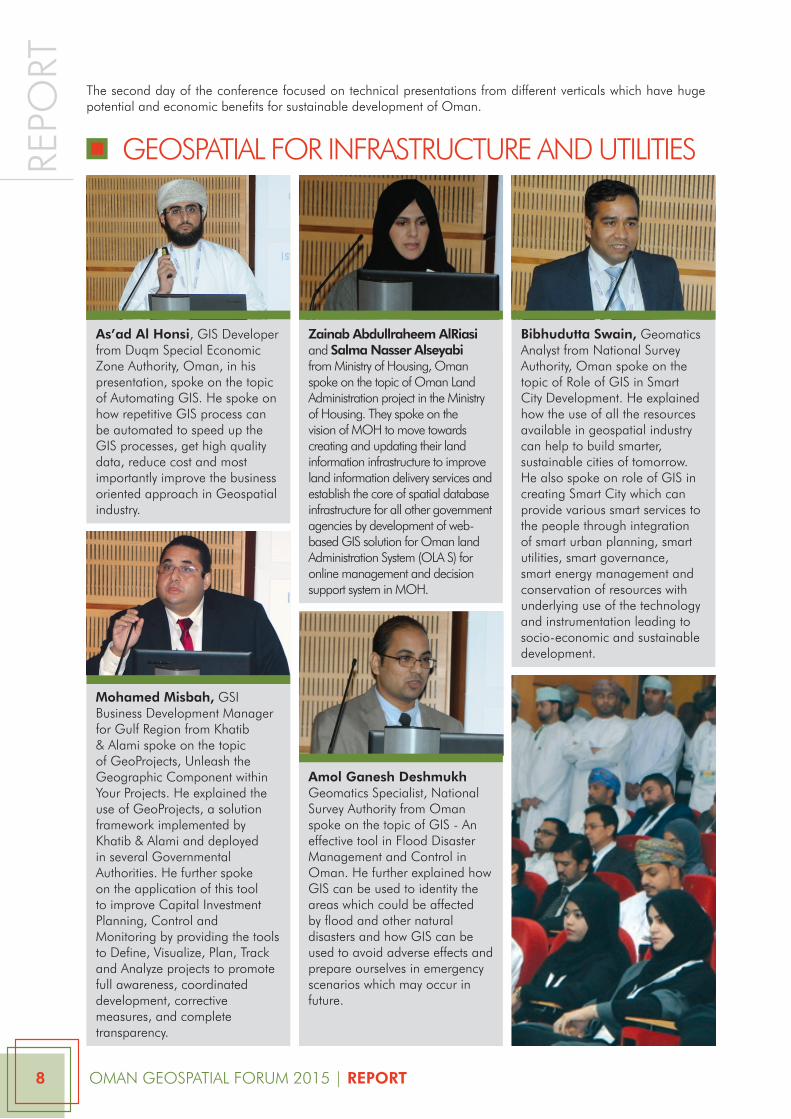
As’ad Al Honsi, GiS developer from duqm Special economic Zone authority, Oman, in his presentation, spoke on the topic of automating GiS. He spoke on how repetitive GiS process can be automated to speed up the GiS processes, get high quality data, reduce cost and most importantly improve the business oriented approach in Geospatial industry.
as’ad Al Honsi, GiS developer from duqm Special economic Zone authority, Oman, in his presentation, spoke on the topic of automating GiS. He spoke on how repetitive GiS process can be automated to speed up the GiS processes, get high quality data, reduce cost and most importantly improve the business oriented approach in Geospatial industry.
Mohamed Misbah, GSi Business development manager for Gulf region from Khatib & alami spoke on the topic of Geoprojects, unleash the Geographic component within your projects. He explained the use of Geoprojects, a solution framework implemented by Khatib & alami and deployed in several Governmental authorities. He further spoke on the application of this tool to improve capital investment planning, control and monitoring by providing the tools to define, visualize, plan, track and analyze projects to promote full awareness, coordinated development, corrective measures, and complete transparency.
Amol Ganesh Deshmukh Geomatics Specialist, national Survey authority from Oman spoke on the topic of GiS - an effective tool in Flood disaster management and control in Oman. He further explained how GiS can be used to identity the areas which could be affected by flood and other natural disasters and how GiS can be used to avoid adverse effects and prepare ourselves in emergency scenarios which may occur in future.
Zainab Abdullraheem AlRiasi and Salma Nasser Alseyabi from ministry of Housing, Oman spoke on the topic of Oman land administration project in the ministry of Housing. they spoke on the vision of mOH to move towards creating and updating their land information infrastructure to improve land information delivery services and establish the core of spatial database infrastructure for all other government agencies by development of web-based GiS solution for Oman land administration System (Ola S) for online management and decision support system in mOH.
Bibhudutta Swain, Geomatics analyst from national Survey authority, Oman spoke on the topic of role of GiS in Smart city development. He explained how the use of all the resources available in geospatial industry can help to build smarter, sustainable cities of tomorrow. He also spoke on role of GiS in creating Smart city which can provide various smart services to the people through integration of smart urban planning, smart utilities, smart governance, smart energy management and conservation of resources with underlying use of the technology and instrumentation leading to socio-economic and sustainable development.
Oman GeOSpatial FOrum 2015 | RepoRt 9
repo
rt
Spatial data inFraStructure
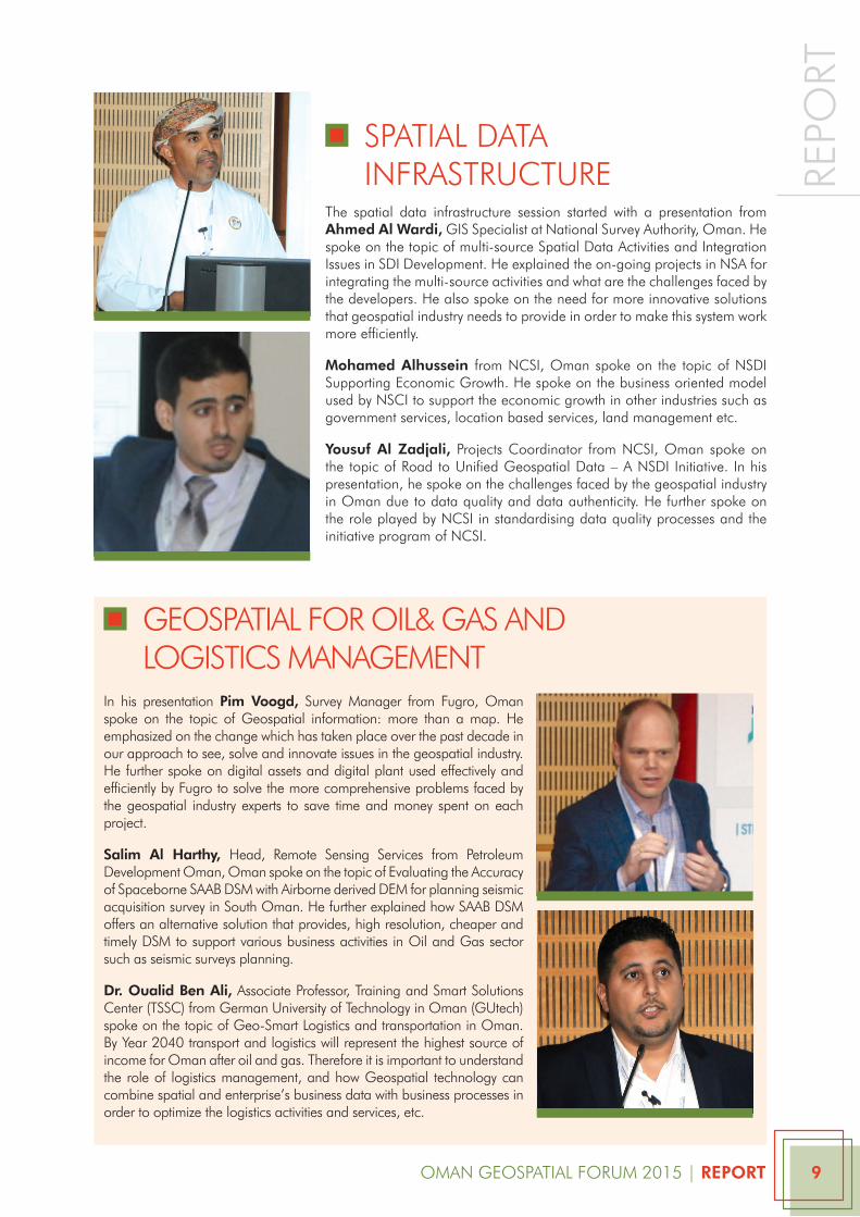
the spatial data infrastructure session started with a presentation from Ahmed Al Wardi, GiS Specialist at national Survey authority, Oman. He spoke on the topic of multi-source Spatial data activities and integration issues in Sdi development. He explained the on-going projects in nSa for integrating the multi-source activities and what are the challenges faced by the developers. He also spoke on the need for more innovative solutions that geospatial industry needs to provide in order to make this system work more efficiently.
Mohamed Alhussein from ncSi, Oman spoke on the topic of nSdi Supporting economic Growth. He spoke on the business oriented model used by nSci to support the economic growth in other industries such as government services, location based services, land management etc.
Yousuf Al Zadjali, projects coordinator from ncSi, Oman spoke on the topic of road to unified Geospatial data – a nSdi initiative. in his presentation, he spoke on the challenges faced by the geospatial industry in Oman due to data quality and data authenticity. He further spoke on the role played by ncSi in standardising data quality processes and the initiative program of ncSi.
in his presentation pim Voogd, Survey manager from Fugro, Oman spoke on the topic of Geospatial information: more than a map. He emphasized on the change which has taken place over the past decade in our approach to see, solve and innovate issues in the geospatial industry. He further spoke on digital assets and digital plant used effectively and efficiently by Fugro to solve the more comprehensive problems faced by the geospatial industry experts to save time and money spent on each project.
Salim Al Harthy, Head, remote Sensing Services from petroleum development Oman, Oman spoke on the topic of evaluating the accuracy of Spaceborne SaaB dSm with airborne derived dem for planning seismic acquisition survey in South Oman. He further explained how SaaB dSm offers an alternative solution that provides, high resolution, cheaper and timely dSm to support various business activities in Oil and Gas sector such as seismic surveys planning.
Dr. oualid Ben Ali, associate professor, training and Smart Solutions center (tSSc) from German university of technology in Oman (Gutech) spoke on the topic of Geo-Smart logistics and transportation in Oman. By year 2040 transport and logistics will represent the highest source of income for Oman after oil and gas. therefore it is important to understand the role of logistics management, and how Geospatial technology can combine spatial and enterprise’s business data with business processes in order to optimize the logistics activities and services, etc.
GeOSpatial FOr Oil& GaS and lOGiSticS manaGement
Oman GeOSpatial FOrum 2015 | RepoRt 10
repo
rt
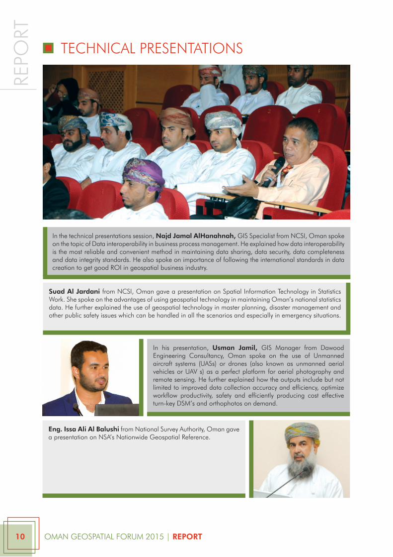
in the technical presentations session, Najd Jamal AlHanahnah, GiS Specialist from ncSi, Oman spoke on the topic of data interoperability in business process management. He explained how data interoperability is the most reliable and convenient method in maintaining data sharing, data security, data completeness and data integrity standards. He also spoke on importance of following the international standards in data creation to get good rOi in geospatial business industry.
in his presentation, Usman Jamil, GiS manager from dawood engineering consultancy, Oman spoke on the use of unmanned aircraft systems (uaSs) or drones (also known as unmanned aerial vehicles or uav s) as a perfect platform for aerial photography and remote sensing. He further explained how the outputs include but not limited to improved data collection accuracy and efficiency, optimize workflow productivity, safety and efficiently producing cost effective turn-key dSm’s and orthophotos on demand.
Suad Al Jardani from ncSi, Oman gave a presentation on Spatial information technology in Statistics work. She spoke on the advantages of using geospatial technology in maintaining Oman’s national statistics data. He further explained the use of geospatial technology in master planning, disaster management and other public safety issues which can be handled in all the scenarios and especially in emergency situations.
tecHnical preSentatiOnS
eng. Issa Ali Al Balushi from national Survey authority, Oman gave a presentation on nSa’s nationwide Geospatial reference.
Oman GeOSpatial FOrum 2015 | RepoRt 11
repo
rt
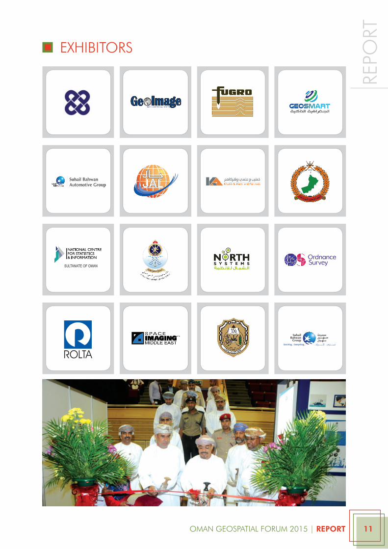
exHiBitOrS
SULTANATE OF OMAN

www.omangeospatialforum.net