Embed Size (px)
Citation preview
BASICS OF
BIOASSESSMENT
The Use of Biological Information
in Aquatic Resource Management
www.cpcb.ku.edu
2011 May Nebraska H2O Stream Bioassessment Workshop

BIOASSESSMENT vs.
BIOCRITERIA
•Assessments
•measure the condition of aquatic
communities in a specific waterbody
•Criteria
•define the goals for that community
•narrative expressions, numerical values,
and/or analytical procedures
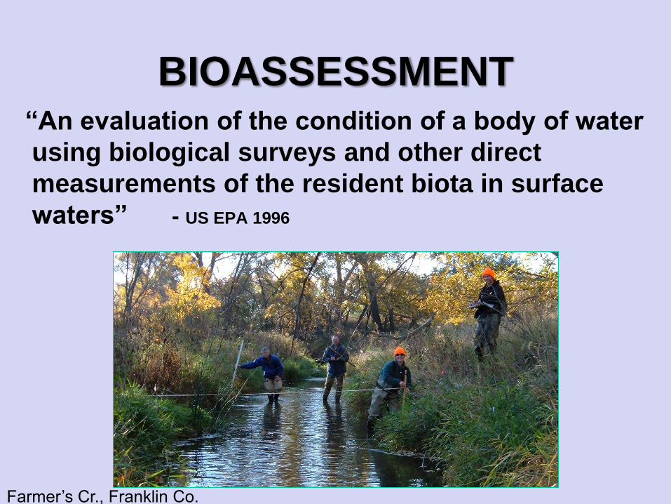
BIOASSESSMENT“An evaluation of the condition of a body of water
using biological surveys and other direct
measurements of the resident biota in surface
waters” - US EPA 1996
Farmer’s Cr., Franklin Co.
SUGGESTED ELEMENTS OF A
BIOASSESSMENT PROGRAM
• Determine goal and define study design
• Multiple assemblages
• Multiple metric indices
• Habitat structure assessment
• Index period
• Regional reference condition
• SOPs and QA Program
Concurrent or relatable water quality
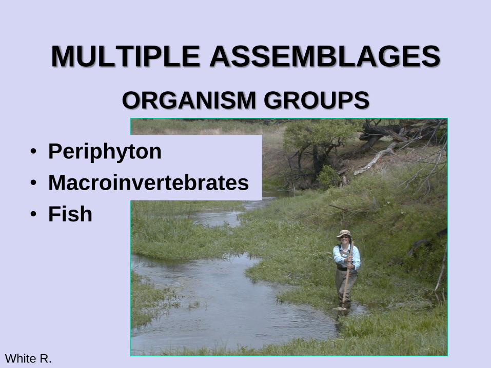
MULTIPLE ASSEMBLAGES
ORGANISM GROUPS
• Periphyton
• Macroinvertebrates
• Fish
White R.
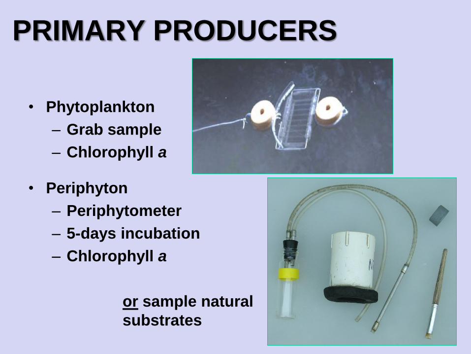
PRIMARY PRODUCERS
• Phytoplankton
– Grab sample
– Chlorophyll a
• Periphyton
– Periphytometer
– 5-days incubation
– Chlorophyll a
or sample natural
substrates
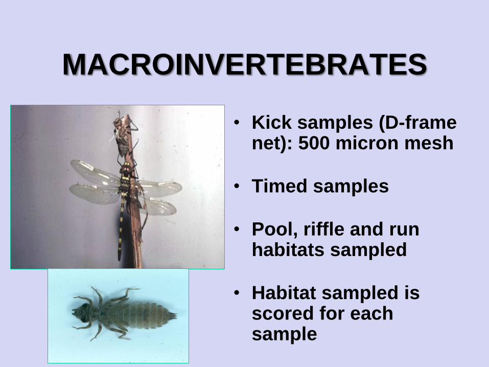
MACROINVERTEBRATES
• Kick samples (D-frame net): 500 micron mesh
• Timed samples
• Pool, riffle and run habitats sampled
• Habitat sampled is scored for each sample
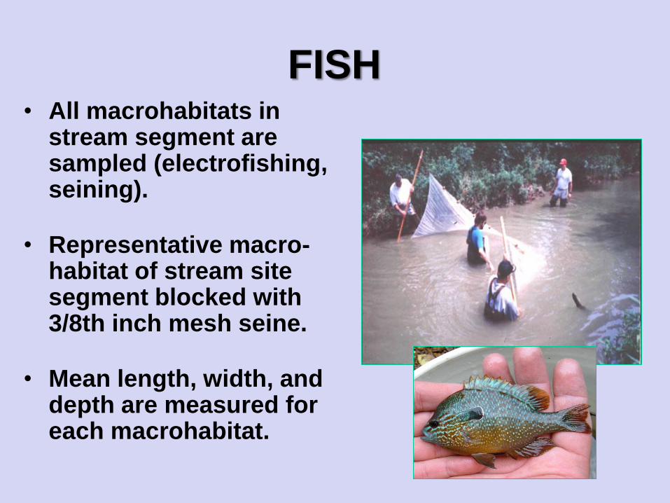
FISH• All macrohabitats in
stream segment are sampled (electrofishing, seining).
• Representative macro-habitat of stream site segment blocked with 3/8th inch mesh seine.
• Mean length, width, and depth are measured for each macrohabitat.
MULTIPLE METRICS,
RIVPAC and/or INDICES
• Taxa richness
• Number of mayfly taxa
• Percent EPT – Ephemeroptera, Plecoptera, Trichoptera
• Percent intolerant taxa
• Percent shredders
• Diversity indices
• Index of Biological Integrity (IBI)
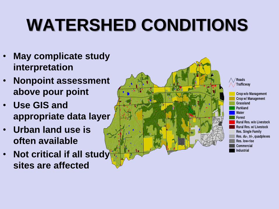
Crop w/o Management
Crop w/ Management
Grassland
Parkland
Water
Forest
Rural Res. w/o Livestock
Rural Res. w/ Livestock
Res. Single Family
Res. du-, tri-, quadplexes
Res. low-rise
Commercial
Industrial
Trafficway
Roads
WATERSHED CONDITIONS
• May complicate study
interpretation
• Nonpoint assessment
above pour point
• Use GIS and
appropriate data layer
• Urban land use is
often available
• Not critical if all study
sites are affected
HABITAT STRUCTURE
ASSESSMENT
• Whole waterbody– Riparian corridor, sinuosity, littoral zone,
shoreline development
• Sampling segment or site– Pool, riffle, run, depth/width, canopy cover,
substrate particle size
• Sample area, microhabitats– Leaf packs, individual rocks, algal mats
FACTORS IMPACTING STREAMS(MANY ARE HABITAT RELATED)
• Channelization
• Land use change
• Altered flow
• Impoundment
• Riparian loss
• Sedimentation
• Thermal pollution
• Geomorphic change
• Organic enrichment
• Pesticide exposure
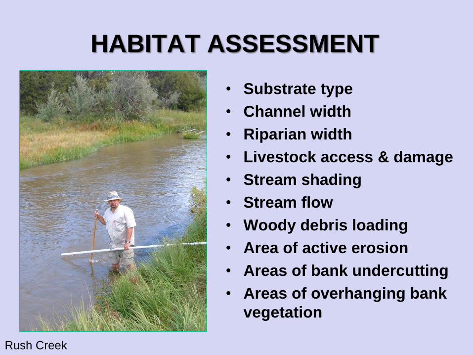
HABITAT ASSESSMENT
• Substrate type
• Channel width
• Riparian width
• Livestock access & damage
• Stream shading
• Stream flow
• Woody debris loading
• Area of active erosion
• Areas of bank undercutting
• Areas of overhanging bank
vegetation
Rush Creek
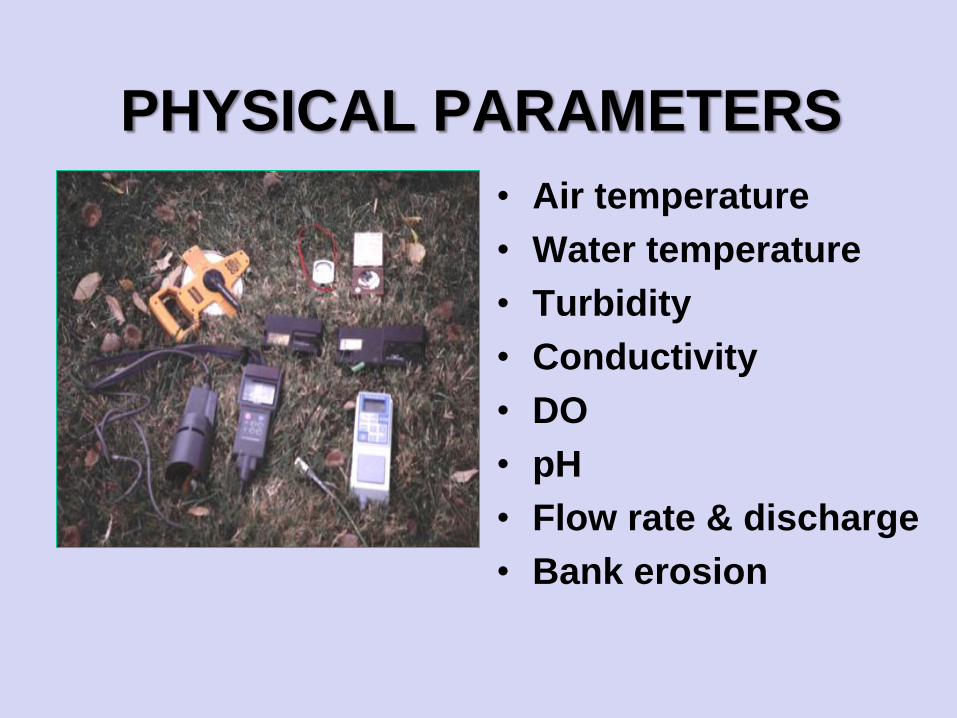
PHYSICAL PARAMETERS
• Air temperature
• Water temperature
• Turbidity
• Conductivity
• DO
• pH
• Flow rate & discharge
• Bank erosion
INDEX PERIOD
• Data collection period
• Period should minimize temporal variability
– annual, seasonal
• Index period may vary with target
organisms and region
• Optimal assessment period for organism
group
– developmental life stages, water levels,
maximize gear efficiency
STUDY DESIGN
• Identify objectives and analytical
approach– are temporal changes of interests
– are spatial changes of interests
– Necessary sample size
• Identify control, reference or baseline
conditions– Point source studies (above/below, before/after,
Before-After Control-Impact design (BACI))
– Paired watersheds, reference
watersheds/conditions
– Comparison with similar systems and regions
REGIONAL REFERENCE
CONDITION
• Ecoregion approach
• Represents desirable and least
impacted by man
• Use multiple reference sites to define
and quantify
• May need waterbody classes – shallow lakes, large rivers, sand-bottom streams,
saline wetlands
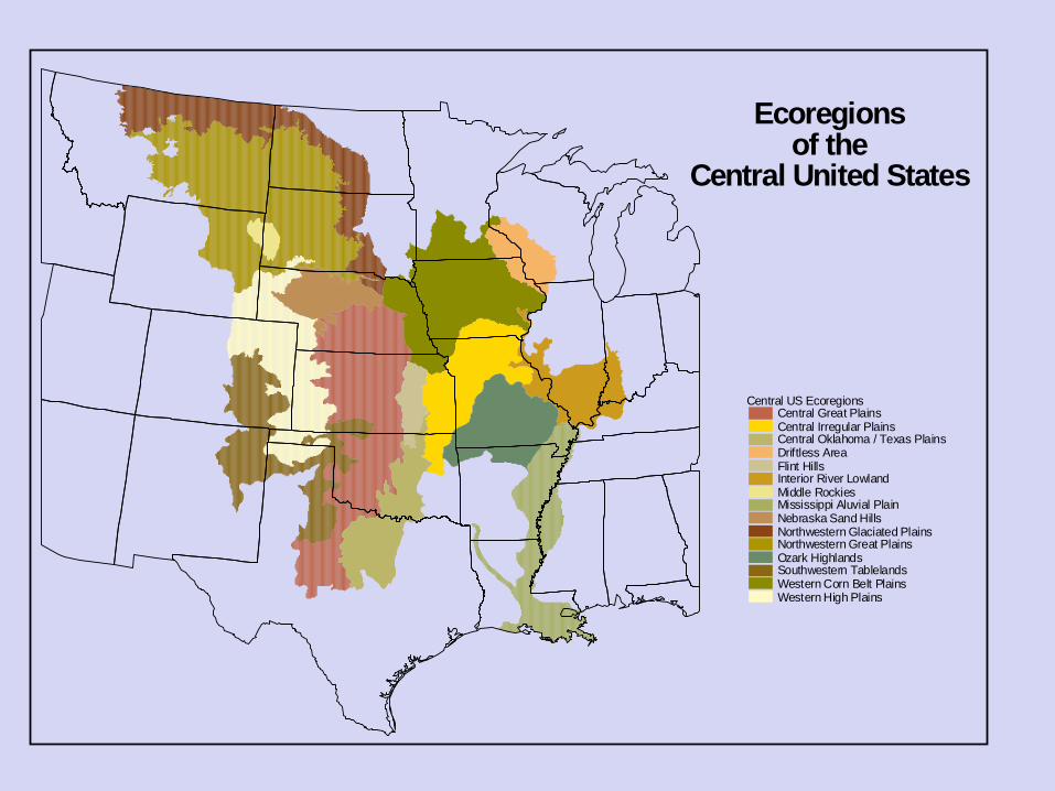
C e n t r a l U S E c o r e g i o n s C e n t r a l G r e a t P l a i n s C e n t r a l I r r e g u l a r P l a i n s C e n t r a l O k l a h o m a / T e x a s P l a i n s D r i f t l e s s A r e a F l i n t H i l l s I n t e r i o r R i v e r L o w l a n d M i d d l e R o c k i e s M i s s i s s i p p i A l u v i a l P l a i n N e b r a s k a S a n d H i l l s N o r t h w e s t e r n G l a c i a t e d P l a i n s N o r t h w e s t e r n G r e a t P l a i n s O z a r k H i g h l a n d s S o u t h w e s t e r n T a b l e l a n d s W e s t e r n C o r n B e l t P l a i n s W e s t e r n H i g h P l a i n s
E c o r e g i o n s
o f t h e
C e n t r a l U n i t e d
S t a t e s
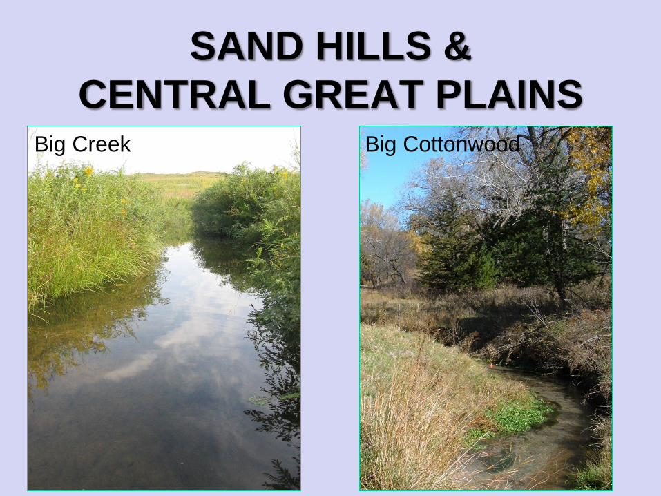
SAND HILLS &
CENTRAL GREAT PLAINSBig Creek Big Cottonwood

ESTIMATING CONDITIONQ
uality
Ecoregion A Ecoregion B
Historic Historic
Attainable
Attainable
Least Disturbed
Least DisturbedDisturbed
Disturbed
High
Low
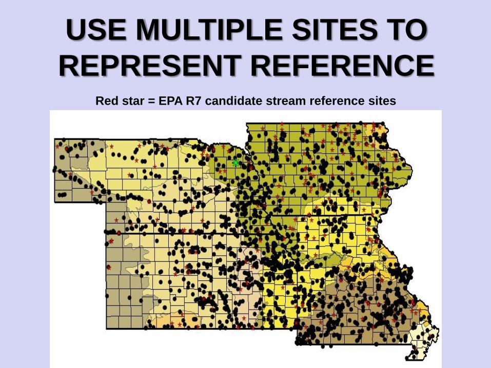
USE MULTIPLE SITES TO
REPRESENT REFERENCERed star = EPA R7 candidate stream reference sites
SOPs and QA PROGRAM
• Outlines objectives
• Provides guidelines
• Lines of responsibility
• Accountability for ensuring data:
1. precision
2. accuracy
3. completeness
4. sample custody
QUESTIONS?