Embed Size (px)
DESCRIPTION
2006 Indiana GIS Conference. The Real-World of ArcGIS Server Implementing ArcGIS Server Applications. March 8, 2006. Joe LaCombe Woolpert, Inc. Goal. What is ArcGIS Server? ESRI product comparison ArcGIS Server Architecture Why use ArcGIS Server? Creating applications Issues Future. - PowerPoint PPT Presentation
Citation preview
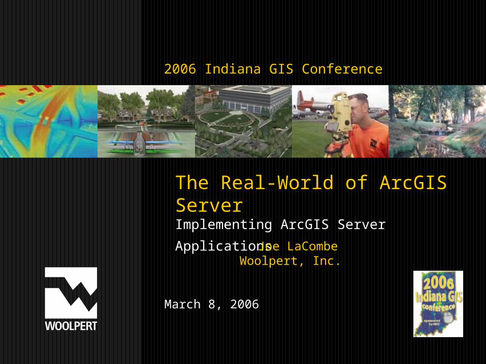
The Real-World of ArcGIS ServerImplementing ArcGIS Server Applications
March 8, 2006
2006 Indiana GIS Conference
Joe LaCombeWoolpert, Inc.
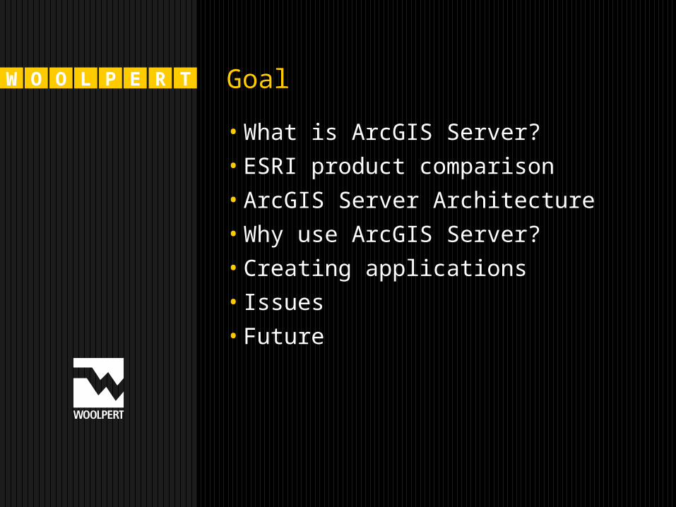
W O O L P E R T Goal
•What is ArcGIS Server?•ESRI product comparison•ArcGIS Server Architecture•Why use ArcGIS Server?•Creating applications• Issues•Future
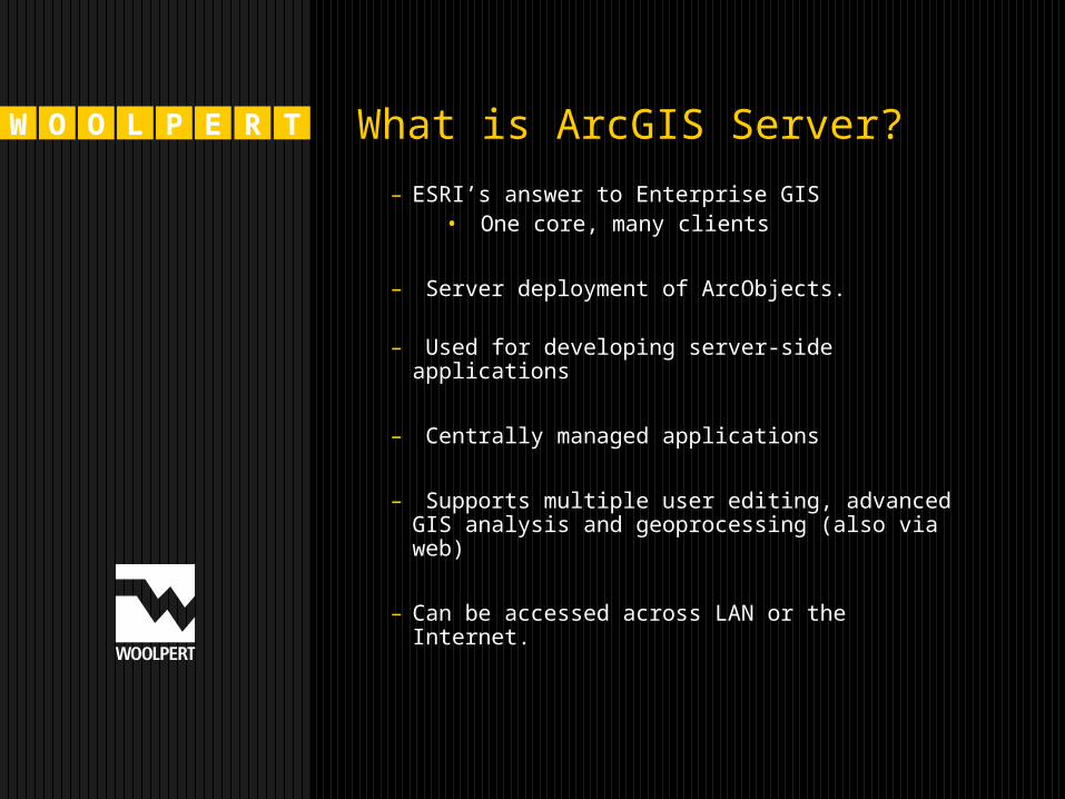
W O O L P E R T What is ArcGIS Server?
– ESRI’s answer to Enterprise GIS• One core, many clients
– Server deployment of ArcObjects.
– Used for developing server-side applications
– Centrally managed applications
– Supports multiple user editing, advanced GIS analysis and geoprocessing (also via web)
– Can be accessed across LAN or the Internet.
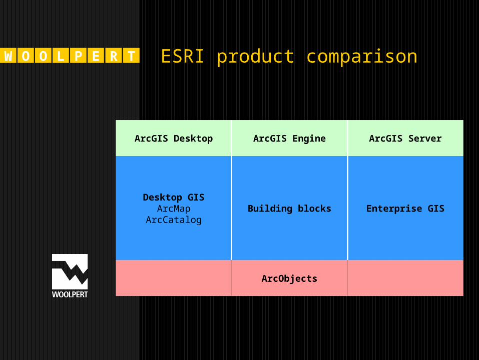
W O O L P E R T ESRI product comparison
ArcGIS ServerArcGIS EngineArcGIS Desktop
ArcObjects
Desktop GISArcMap
ArcCatalogBuilding blocks Enterprise GIS

W O O L P E R T ArcGIS Server Architecture
ArcGIS Server
ArcGIS Server Object
Container
SDE
Calling Application
GIS server—Hosts and runs server objects. The GIS server consists of a serverobject manager (SOM) and one or more server object containers (SOCs).
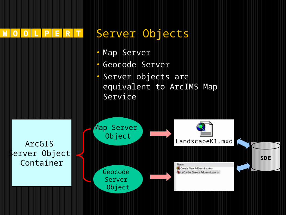
W O O L P E R T Server Objects
• Map Server• Geocode Server• Server objects are equivalent
to ArcIMS Map Service
LandscapeK1.mxd
Map Server Object
Geocode Server Object
SDE
ArcGIS Server Object
Container
W O O L P E R T
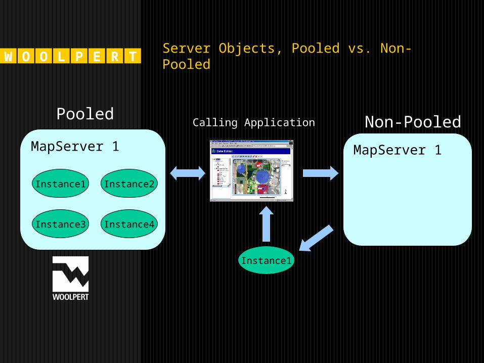
MapServer 1
Server Objects, Pooled vs. Non-Pooled
Instance4
Instance1 Instance2
Instance3
PooledCalling Application
MapServer 1
Non-Pooled
Instance1
W O O L P E R T Server Objects, cont.
– Pooled is faster; works if you are not editing data or changing state
– Non-pooled will return you a new instance of the object for each request. Use for editing or changing state of the object
– Ex. – Mapping Application
User does not add/remove layers, or change text/graphics on layout – Pooled
User needs to add/remove layers or personalize their layout – Non-Pooled
W O O L P E R T Creating applications
•Web-based viewer•Web services
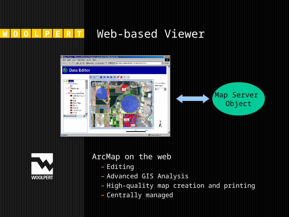
W O O L P E R T Web-based Viewer
Map Server Object
ArcMap on the web– Editing– Advanced GIS Analysis– High-quality map creation and printing– Centrally managed
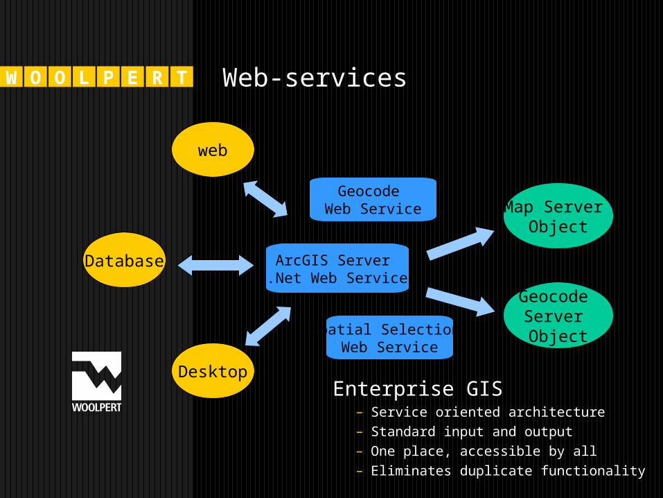
W O O L P E R T Web-services
Map Server Object
ArcGIS Server .Net Web Service
Geocode Server Object
web
Database
DesktopEnterprise GIS
– Service oriented architecture– Standard input and output– One place, accessible by all– Eliminates duplicate functionality
Geocode Web Service
Spatial Selection Web Service
W O O L P E R T Issues
• Performance when it comes to some things – Exporting maps, performing heavy processing
• Sometimes tricky to communicate between other servers and the ArcGIS Server - Impersonation
• Initial learning curve – new product
W O O L P E R T ArcIMS vs. ArcGIS Server
ArcIMS
• According to ESRI, ArcIMS is solely for “the geopublishing of maps, data, and metadata. Its goal is to deliver data to many users on the Web. ArcIMS is the solution for delivering dynamic maps, data and metadata via the Web”.
– Tested and tried– Right now, lowest cost for Internet
mapping– Supported Extensions – Routing, Data
Delivery– However, its architecture doesn’t fully
support the implementation of an enterprise-wide GIS.
W O O L P E R T Which one to choose?
Scenario 1
• You are a utility company with 50+ field crew.
• You need a simple web-based viewer that can also be accessed via a mobile, wireless connection.
• The field crew needs real-time tracing of utility network and isolation of assets.
• The field crew probably needs some basic routing to get to assets in the field.
• Possible recommendation – ArcGIS Server
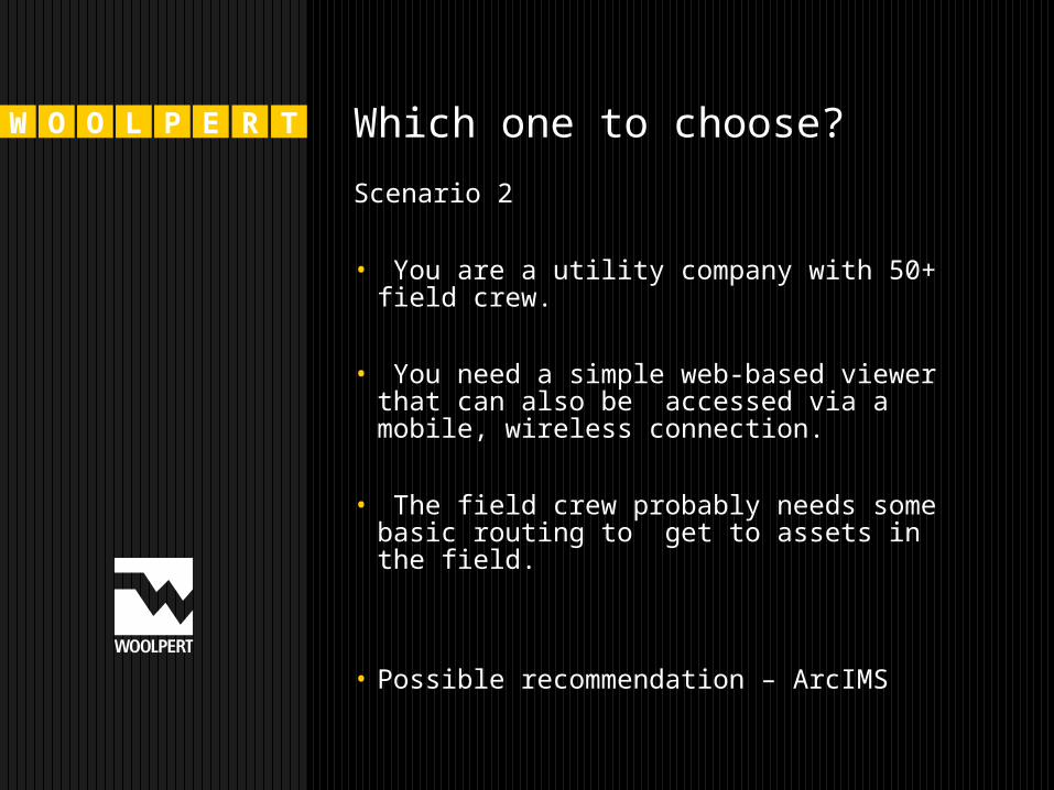
W O O L P E R T Which one to choose?
Scenario 2
• You are a utility company with 50+ field crew.
• You need a simple web-based viewer that can also be accessed via a mobile, wireless connection.
• The field crew probably needs some basic routing to get to assets in the field.
• Possible recommendation – ArcIMS
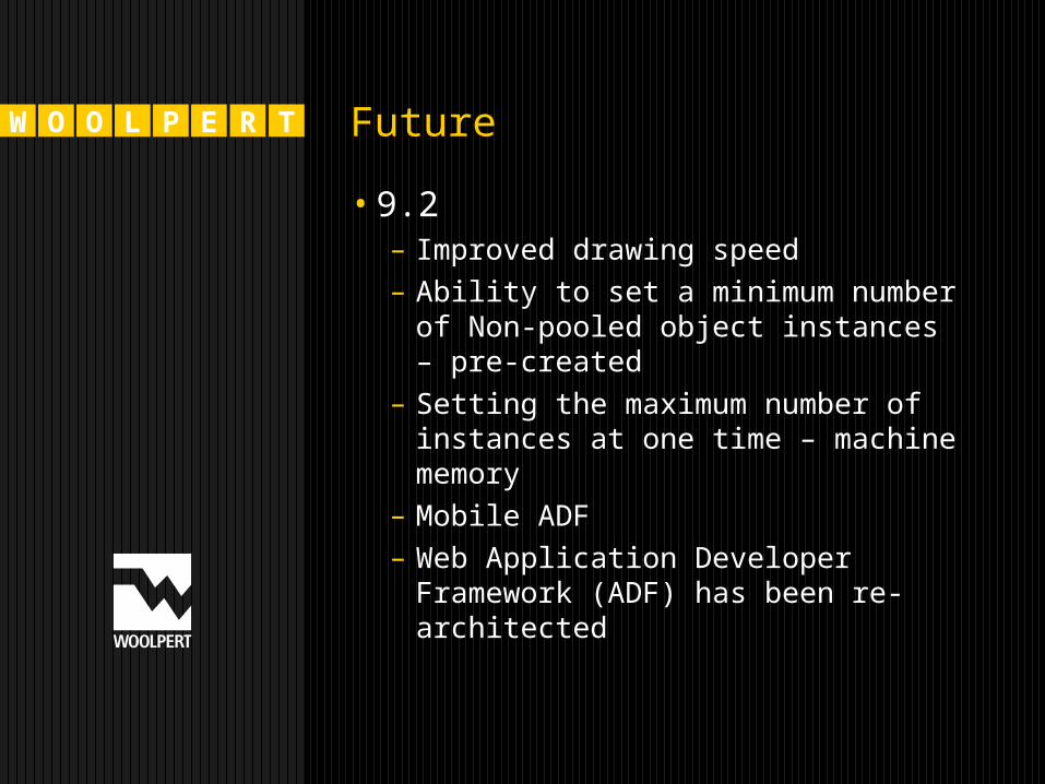
W O O L P E R T Future
•9.2– Improved drawing speed– Ability to set a minimum number of
Non-pooled object instances – pre-created
– Setting the maximum number of instances at one time – machine memory
– Mobile ADF– Web Application Developer
Framework (ADF) has been re-architected
W O O L P E R T Future
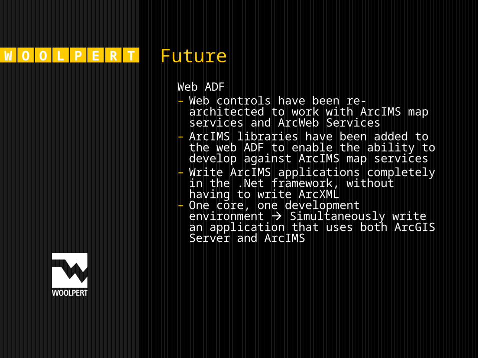
Web ADF– Web controls have been re-architected
to work with ArcIMS map services and ArcWeb Services
– ArcIMS libraries have been added to the web ADF to enable the ability to develop against ArcIMS map services
– Write ArcIMS applications completely in the .Net framework, without having to write ArcXML
– One core, one development environment Simultaneously write an application that uses both ArcGIS Server and ArcIMS
W O O L P E R T Questions?