Embed Size (px)
Citation preview

Open Geospatial Consortium, 2011 – Making Location Count...
The importance of standards bodies in EU funded projects
INSPIRE Conference, 27. June – 01. July 2011
Geospatial SDI WorkshopArnulf Christl (metaspatial) and Athina Trakas (OGC)
Athina TrakasOpen Geospatial Consortium
Director European Services
[email protected]://www.opengeospatial.org
A few words about OGC
2
OGC Open Geospatial Consortium, 2011 – Making Location Count...
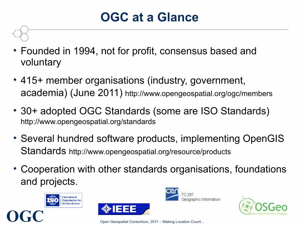
OGC at a Glance
• Founded in 1994, not for profit, consensus based and voluntary
• 415+ member organisations (industry, government, academia) (June 2011) http://www.opengeospatial.org/ogc/members
• 30+ adopted OGC Standards (some are ISO Standards) http://www.opengeospatial.org/standards
• Several hundred software products, implementing OpenGIS Standards http://www.opengeospatial.org/resource/products
• Cooperation with other standards organisations, foundations and projects.
OGC Open Geospatial Consortium, 2011 – Making Location Count...
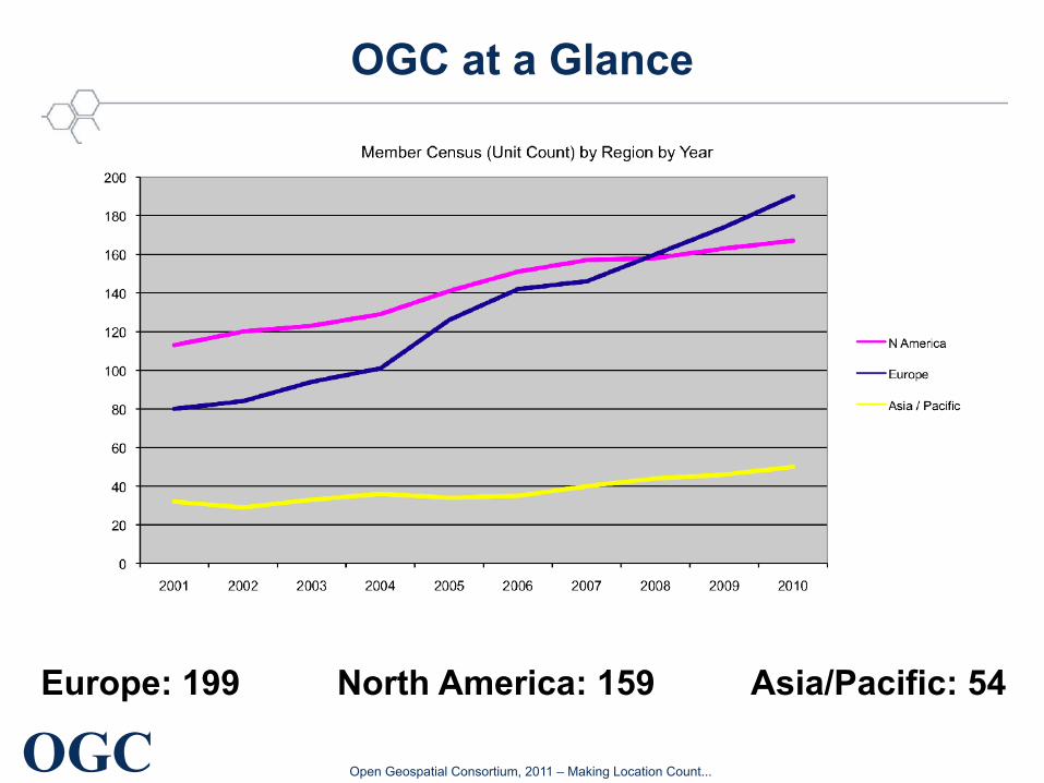
OGC at a Glance
Europe: 199 North America: 159 Asia/Pacific: 54
OGC Open Geospatial Consortium, 2011 – Making Location Count...
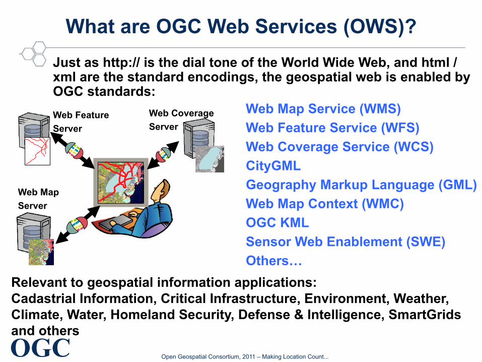
What are OGC Web Services (OWS)?
Web Map Service (WMS)
Web Feature Service (WFS)
Web Coverage Service (WCS)
CityGML
Geography Markup Language (GML)
Web Map Context (WMC)
OGC KML
Sensor Web Enablement (SWE)
Others…
Just as http:// is the dial tone of the World Wide Web, and html / xml are the standard encodings, the geospatial web is enabled by OGC standards:
Relevant to geospatial information applications: Cadastrial Information, Critical Infrastructure, Environment, Weather, Climate, Water, Homeland Security, Defense & Intelligence, SmartGrids and others
Web Map
Server
Web Coverage
ServerWeb Feature
Server
OGC Open Geospatial Consortium, 2011 – Making Location Count...
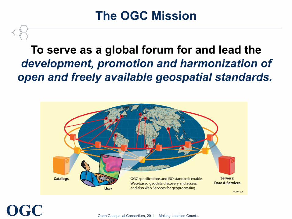
The OGC Mission
To serve as a global forum for and lead the
development, promotion and harmonization of open and freely available geospatial standards.
The Standards (developing bodies - SDO)
7
OGC Open Geospatial Consortium, 2011 – Making Location Count...
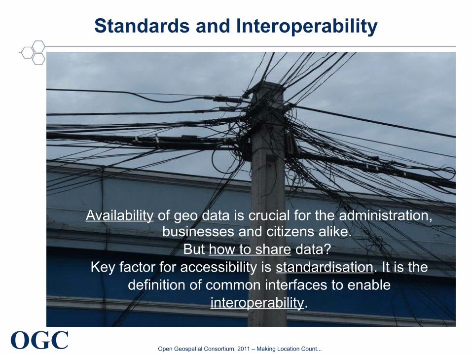
Standards and Interoperability
Availability of geo data is crucial for the administration, businesses and citizens alike.
But how to share data? Key factor for accessibility is standardisation. It is the
definition of common interfaces to enable interoperability.
OGC Open Geospatial Consortium, 2011 – Making Location Count...
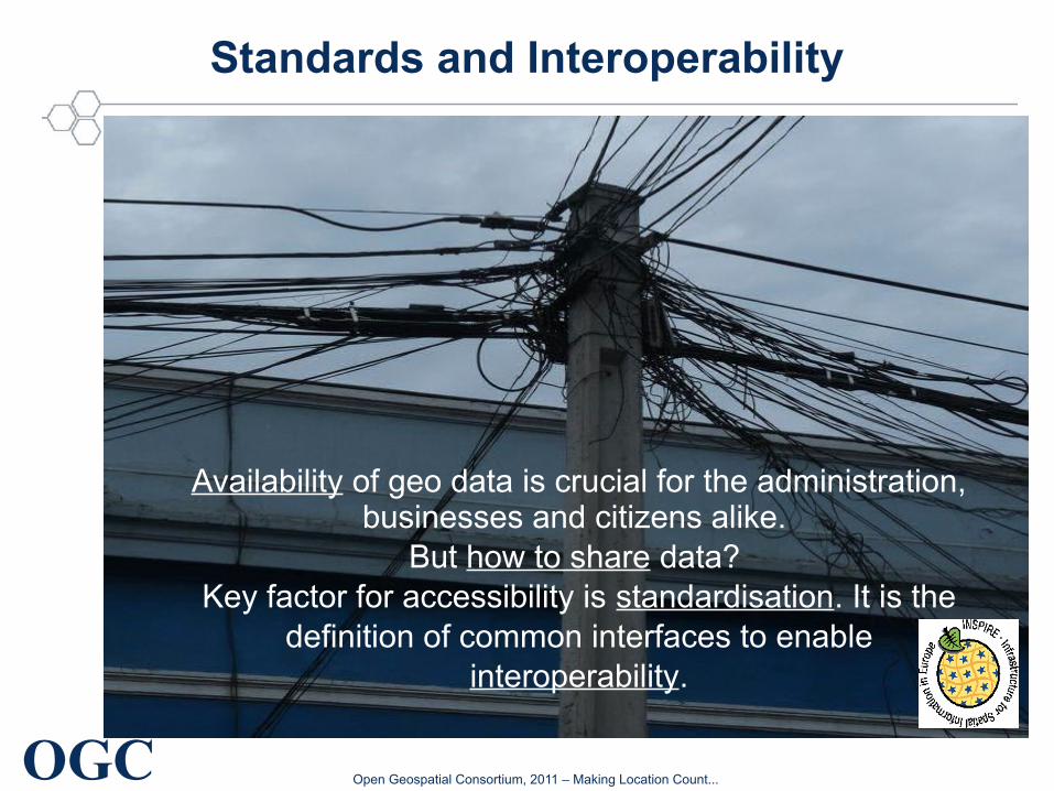
Standards and Interoperability
Availability of geo data is crucial for the administration, businesses and citizens alike.
But how to share data? Key factor for accessibility is standardisation. It is the
definition of common interfaces to enable interoperability.
OGC Open Geospatial Consortium, 2011 – Making Location Count...
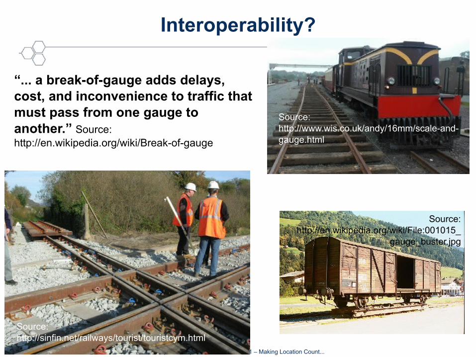
Interoperability?
Source: http://sinfin.net/railways/tourist/touristcym.html
Source: http://www.wis.co.uk/andy/16mm/scale-and-gauge.html
Source: http://en.wikipedia.org/wiki/File:001015_
gauge_buster.jpg
“... a break-of-gauge adds delays, cost, and inconvenience to traffic that must pass from one gauge to another.” Source: http://en.wikipedia.org/wiki/Break-of-gauge
Copyright © 2011, Open Geospatial Consortium Making location count...OGC ®
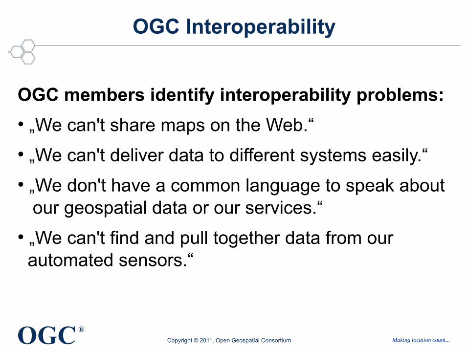
OGC Interoperability
OGC members identify interoperability problems: ● „We can't share maps on the Web.“● „We can't deliver data to different systems easily.“● „We don't have a common language to speak about our geospatial data or our services.“● „We can't find and pull together data from our automated sensors.“
OGC Open Geospatial Consortium, 2011 – Making Location Count...
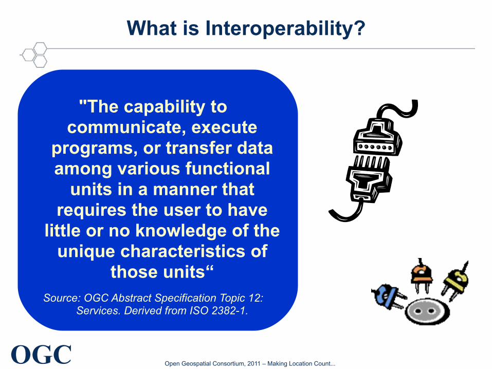
What is Interoperability?
"The capability to communicate, execute
programs, or transfer data among various functional
units in a manner that requires the user to have
little or no knowledge of the unique characteristics of
those units“Source: OGC Abstract Specification Topic 12:
Services. Derived from ISO 2382-1.
OGC Open Geospatial Consortium, 2011 – Making Location Count...http://govfresh.com/wp-content/uploads/2010/04/wordcloudgovfresh.jpg
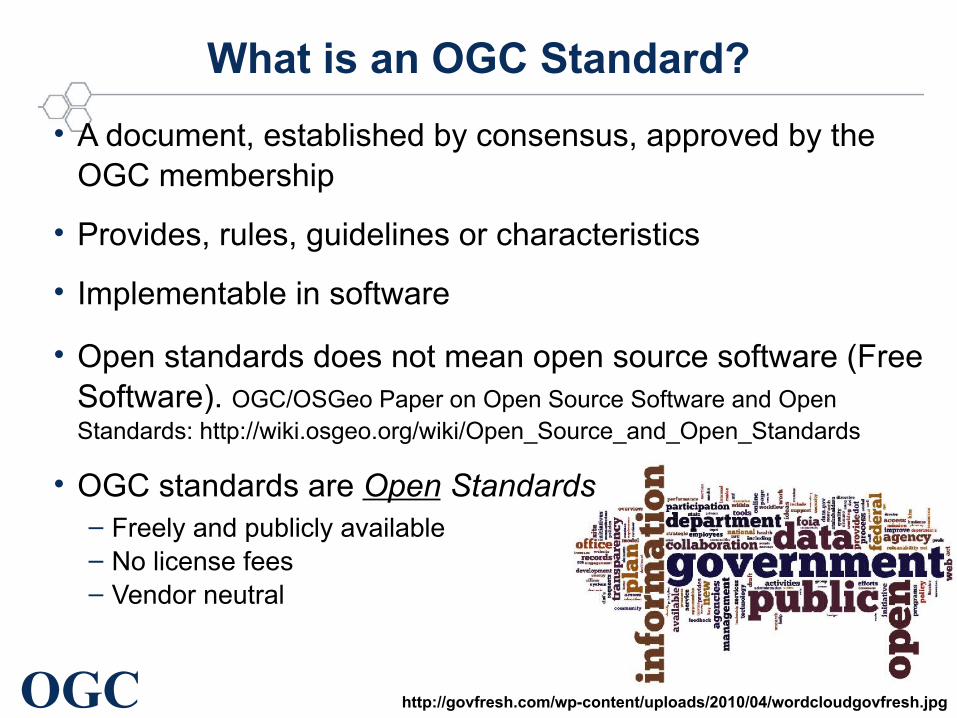
What is an OGC Standard?
• A document, established by consensus, approved by the OGC membership
• Provides, rules, guidelines or characteristics
• Implementable in software
• Open standards does not mean open source software (Free Software). OGC/OSGeo Paper on Open Source Software and Open Standards: http://wiki.osgeo.org/wiki/Open_Source_and_Open_Standards
• OGC standards are Open Standards– Freely and publicly available– No license fees– Vendor neutral
OGC Open Geospatial Consortium, 2011 – Making Location Count...
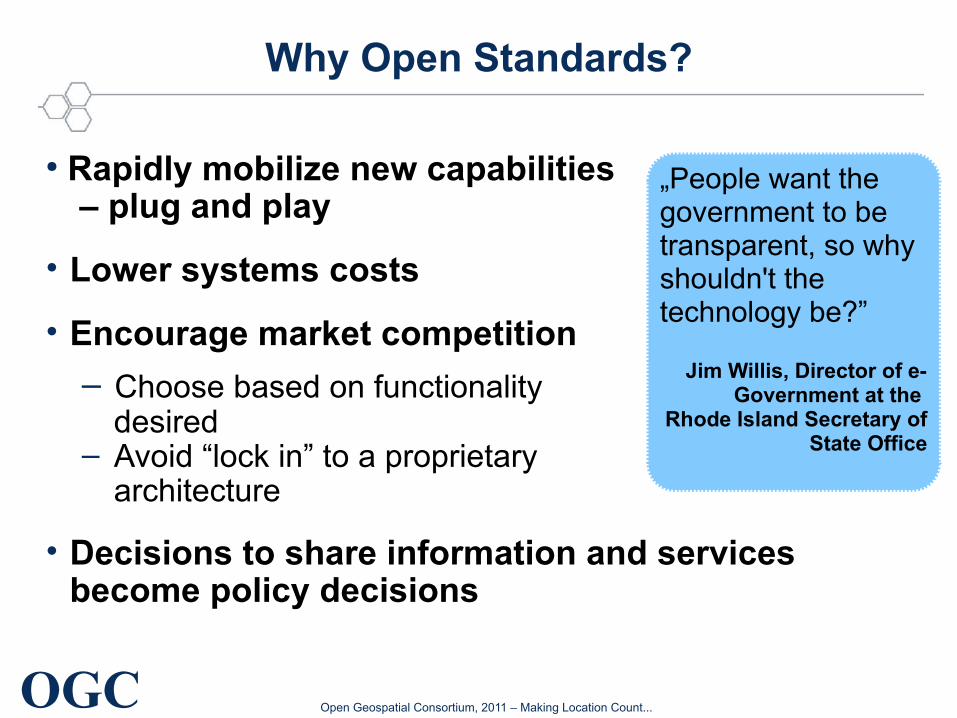
Why Open Standards?
● Rapidly mobilize new capabilities – plug and play
• Lower systems costs
• Encourage market competition
– Choose based on functionality desired
– Avoid “lock in” to a proprietary architecture
• Decisions to share information and services become policy decisions
„People want the government to be transparent, so why shouldn't the technology be?”
Jim Willis, Director of e-Government at the
Rhode Island Secretary of State Office

OGC Open Geospatial Consortium, 2011 – Making Location Count...
EU Digital Agenda
“Interoperability boosts competition, we need more of that. For devices or applications to be interoperable - to work together - all concerned parties must agree to a common way of doing things.
Formal standards are one way to get there.
More transparency in formal standard-setting can lead to more efficient outcomes. Public and private procurers of technology should be smart and build their systems as much as possible on standards that everybody can use and implement without constraints: this is good for the bottom-line because it promotes competition between suppliers and prevents vendor lock-in.“
Neelie Kroes, Open Forum Europe 2010: 'Openness at the heart of the EU Digital Agenda' Brussels, 10th June 2010
http://europa.eu/rapid/pressReleasesAction.do?reference=SPEECH/10/300
OGC Open Geospatial Consortium, 2011 – Making Location Count...
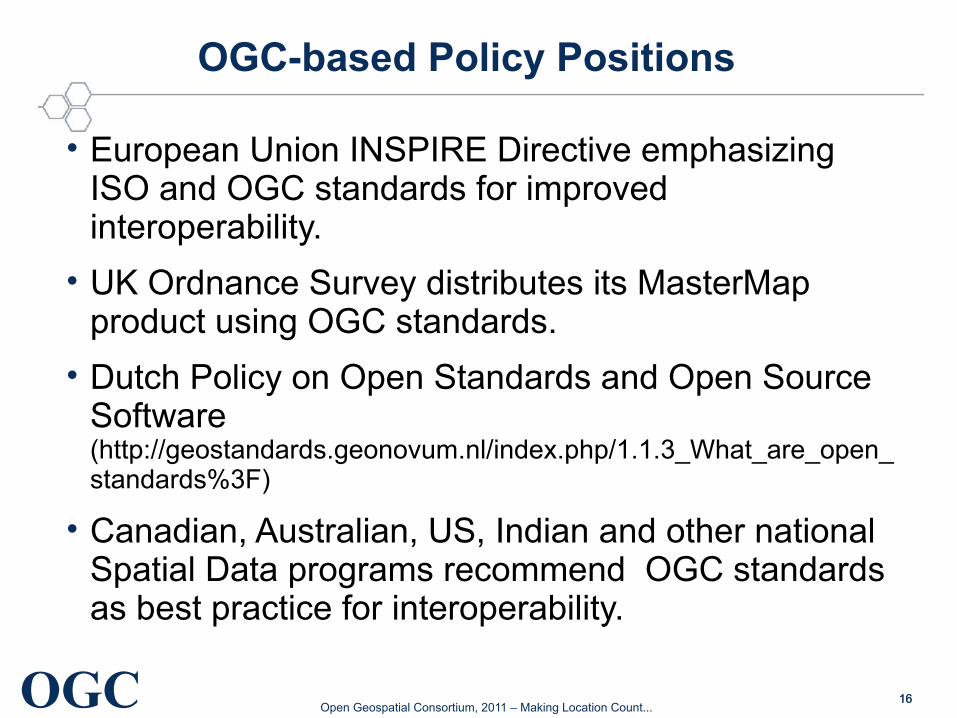
OGC-based Policy Positions
• European Union INSPIRE Directive emphasizing ISO and OGC standards for improved interoperability.
• UK Ordnance Survey distributes its MasterMap product using OGC standards.
• Dutch Policy on Open Standards and Open Source Software (http://geostandards.geonovum.nl/index.php/1.1.3_What_are_open_standards%3F)
• Canadian, Australian, US, Indian and other national Spatial Data programs recommend OGC standards as best practice for interoperability.
1616
OGC Open Geospatial Consortium, 2011 – Making Location Count...
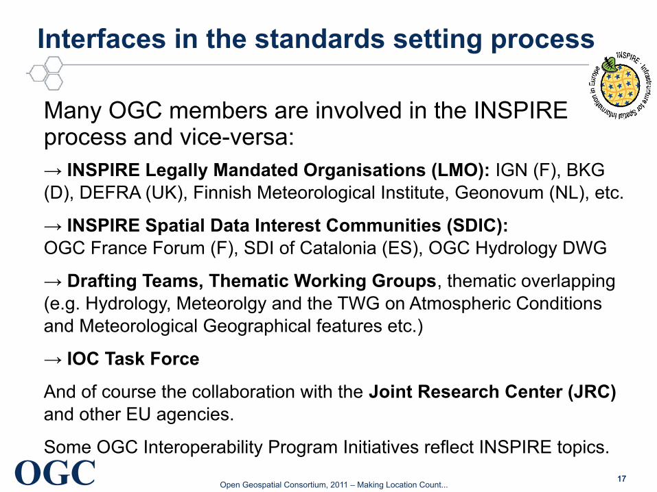
Interfaces in the standards setting process
Many OGC members are involved in the INSPIRE process and vice-versa:→ INSPIRE Legally Mandated Organisations (LMO): IGN (F), BKG (D), DEFRA (UK), Finnish Meteorological Institute, Geonovum (NL), etc.
→ INSPIRE Spatial Data Interest Communities (SDIC): OGC France Forum (F), SDI of Catalonia (ES), OGC Hydrology DWG
→ Drafting Teams, Thematic Working Groups, thematic overlapping (e.g. Hydrology, Meteorolgy and the TWG on Atmospheric Conditions and Meteorological Geographical features etc.)
→ IOC Task Force
And of course the collaboration with the Joint Research Center (JRC) and other EU agencies.
Some OGC Interoperability Program Initiatives reflect INSPIRE topics.
1717
OGC Open Geospatial Consortium, 2011 – Making Location Count...
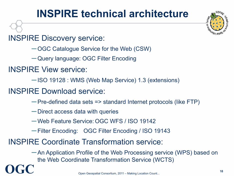
INSPIRE technical architecture
INSPIRE Discovery service:–OGC Catalogue Service for the Web (CSW)
–Query language: OGC Filter Encoding
INSPIRE View service:– ISO 19128 : WMS (Web Map Service) 1.3 (extensions)
INSPIRE Download service:–Pre-defined data sets => standard Internet protocols (like FTP)
–Direct access data with queries
–Web Feature Service: OGC WFS / ISO 19142
–Filter Encoding: OGC Filter Encoding / ISO 19143
INSPIRE Coordinate Transformation service:–An Application Profile of the Web Processing service (WPS) based on
the Web Coordinate Transformation Service (WCTS)
1818
OGC Open Geospatial Consortium, 2011 – Making Location Count...
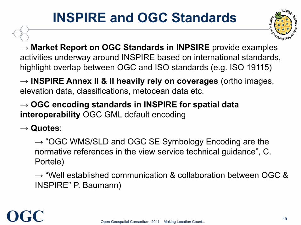
INSPIRE and OGC Standards
→ Market Report on OGC Standards in INPSIRE provide examples activities underway around INSPIRE based on international standards, highlight overlap between OGC and ISO standards (e.g. ISO 19115)
→ INSPIRE Annex II & II heavily rely on coverages (ortho images, elevation data, classifications, metocean data etc.
→ OGC encoding standards in INSPIRE for spatial data interoperability OGC GML default encoding
→ Quotes:
→ “OGC WMS/SLD and OGC SE Symbology Encoding are the normative references in the view service technical guidance”, C. Portele)
→ “Well established communication & collaboration between OGC & INSPIRE” P. Baumann)
1919
(Potential) Roles of EU funded Projects
20
OGC Open Geospatial Consortium, 2011 – Making Location Count...
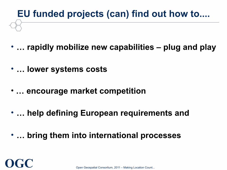
EU funded projects (can) find out how to....
• … rapidly mobilize new capabilities – plug and play
• … lower systems costs
• … encourage market competition
• … help defining European requirements and
• … bring them into international processes
OGC Open Geospatial Consortium, 2011 – Making Location Count...
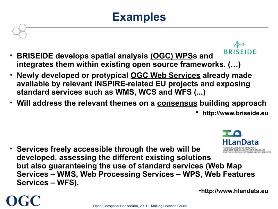
Examples
• BRISEIDE develops spatial analysis (OGC) WPSs and integrates them within existing open source frameworks. (…)
• Newly developed or protypical OGC Web Services already made available by relevant INSPIRE-related EU projects and exposing standard services such as WMS, WCS and WFS (...)
• Will address the relevant themes on a consensus building approach● http://www.briseide.eu
• Services freely accessible through the web will be developed, assessing the different existing solutions but also guaranteeing the use of standard services (Web Map Services – WMS, Web Processing Services – WPS, Web Features Services – WFS).
●http://www.hlandata.eu
OGC Open Geospatial Consortium, 2011 – Making Location Count...
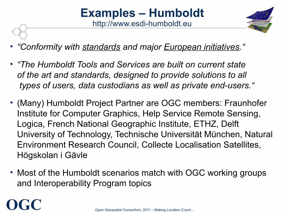
Examples – Humboldthttp://www.esdi-humboldt.eu
• “Conformity with standards and major European initiatives.“
• “The Humboldt Tools and Services are built on current state of the art and standards, designed to provide solutions to all types of users, data custodians as well as private end-users.“
• (Many) Humboldt Project Partner are OGC members: Fraunhofer Institute for Computer Graphics, Help Service Remote Sensing, Logica, French National Geographic Institute, ETHZ, Delft University of Technology, Technische Universität München, Natural Environment Research Council, Collecte Localisation Satellites, Högskolan i Gävle
• Most of the Humboldt scenarios match with OGC working groups and Interoperability Program topics
OGC Open Geospatial Consortium, 2011 – Making Location Count...
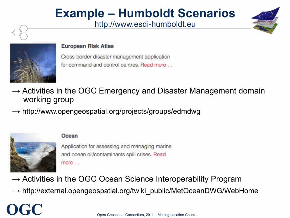
Example – Humboldt Scenarioshttp://www.esdi-humboldt.eu
→ Activities in the OGC Emergency and Disaster Management domain working group
→ http://www.opengeospatial.org/projects/groups/edmdwg
→ Activities in the OGC Ocean Science Interoperability Program
→ http://external.opengeospatial.org/twiki_public/MetOceanDWG/WebHome
Copyright © 2011, Open Geospatial Consortium Making location count...OGC ®
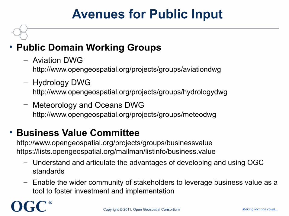
Avenues for Public Input
• Public Domain Working Groups– Aviation DWG
http://www.opengeospatial.org/projects/groups/aviationdwg
– Hydrology DWG http://www.opengeospatial.org/projects/groups/hydrologydwg
– Meteorology and Oceans DWG http://www.opengeospatial.org/projects/groups/meteodwg
• Business Value Committeehttp://www.opengeospatial.org/projects/groups/businessvaluehttps://lists.opengeospatial.org/mailman/listinfo/business.value
– Understand and articulate the advantages of developing and using OGC standards
– Enable the wider community of stakeholders to leverage business value as a tool to foster investment and implementation
Copyright © 2011, Open Geospatial Consortium Making location count...OGC ®
Avenues for Public Input (2)
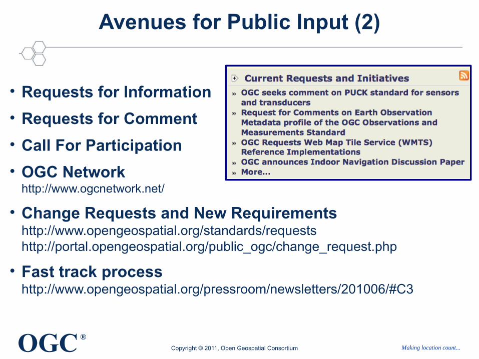
• Requests for Information
• Requests for Comment
• Call For Participation
• OGC Networkhttp://www.ogcnetwork.net/
• Change Requests and New Requirements http://www.opengeospatial.org/standards/requests http://portal.opengeospatial.org/public_ogc/change_request.php
• Fast track processhttp://www.opengeospatial.org/pressroom/newsletters/201006/#C3
ISO/TC 211, CEN/TC 287 and OGC
27
OGC Open Geospatial Consortium, 2011 – Making Location Count...
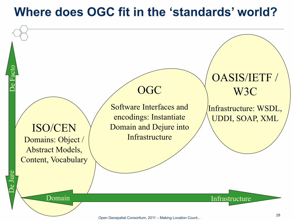
Where does OGC fit in the ‘standards’ world?
OASIS/IETF / W3C
Infrastructure: WSDL, UDDI, SOAP, XML
ISO/CEN Domains: Object / Abstract Models,
Content, Vocabulary
OGCSoftware Interfaces and encodings: Instantiate
Domain and Dejure into Infrastructure
De
Fac
toD
e Ju
re
Domain Infrastructure
28
OGC Open Geospatial Consortium, 2011 – Making Location Count...
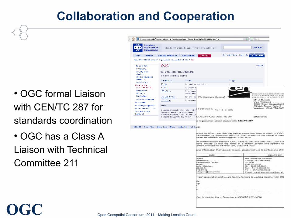
Collaboration and Cooperation
● OGC formal Liaison with CEN/TC 287 for standards coordination● OGC has a Class A Liaison with Technical Committee 211
OGC Open Geospatial Consortium, 2011 – Making Location Count...
The CEN/TC 287 workshop on best practice for National Spatial Data Infrastructures (NSDIs) convened in Saint-Denis, Paris, France on 1 March 2010. This provided an excellent venue and opportunity for organizational representatives of
CEN/TC 287, ISO/TC 211 and OGC to discuss ways in which coordination between these standards bodies can be improved to better address European and international standards requirements.
Discussions also included representatives from participating user communities, and led to general agreement for closer, more formal cooperation between OGC and CEN/TC 287, as well as agreement to consider continued
improvements in OGC and ISO/TC 211 coordination. Emphasis was also placed on the testing of standards for viability, fulfillment of purpose, ease of implementation and improvements in interoperability. The mantra "test early, test often" was reflective of this need.
These three organizations will be cooperatively exploring the adoption of a common Change Request / Requirements registry, and will be examining ways in which adopted standards schema can be managed more effectively and efficiently across these organizations. The requirements process is also an effort to
make the standards process more transparent and more responsive to
community needs. All requirements and change requests will be gathered in an open forum visible to the public. All parties agreed that continued exploration of process improvements would be valuable to the community, with
particular focus on improved coordination, reduction in duplication of effort, and streamlining of standards coordination processes.
30
Collaboration and Cooperationhttp://www.opengeospatial.org/pressroom/newsletters/201004/#C5
OGC Open Geospatial Consortium, 2011 – Making Location Count...
Some closing thoughts
● Contribute and work together – participate in the international standardisation process
● Share your experiences especially from an European perspective (EU funded projects).
● Help leveraging European requirements to an international level
“What we are doing is facilitating a common picture of reality for different organizations which have different
views of the reality, the disaster, the catastrophe, that they all have to deal with collectively.”
David SchellCEO and Chairman
OGC
31
OGC Open Geospatial Consortium, 2011 – Making Location Count...
Questions? Get involved!
Athina TrakasDirector European Service OpenGeospatial Consortium
Heerstr. 16253111 Bonn
Tel.: +49 – 228 – 54 88 99 42Mobil: +49 – 173 – 211 2623eMail: [email protected] web: http://www.opengeospatial.org


![Presentation1 - inspire.ec.europa.euinspire.ec.europa.eu/events/conferences/inspire_2011/presentations/… · Title: Microsoft PowerPoint - Presentation1 [Compatibility Mode] Author:](https://img.pdfslide.us/doc/110x75/5ff593cae0e9d83bf55d4513/presentation1-title-microsoft-powerpoint-presentation1-compatibility-mode.jpg)