Embed Size (px)
Citation preview
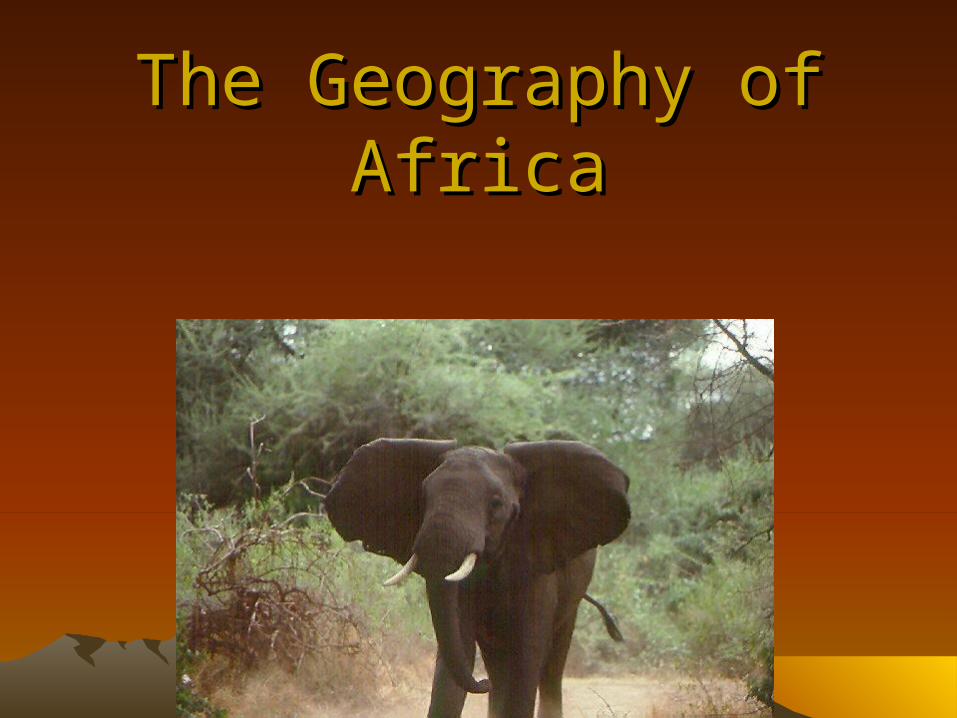
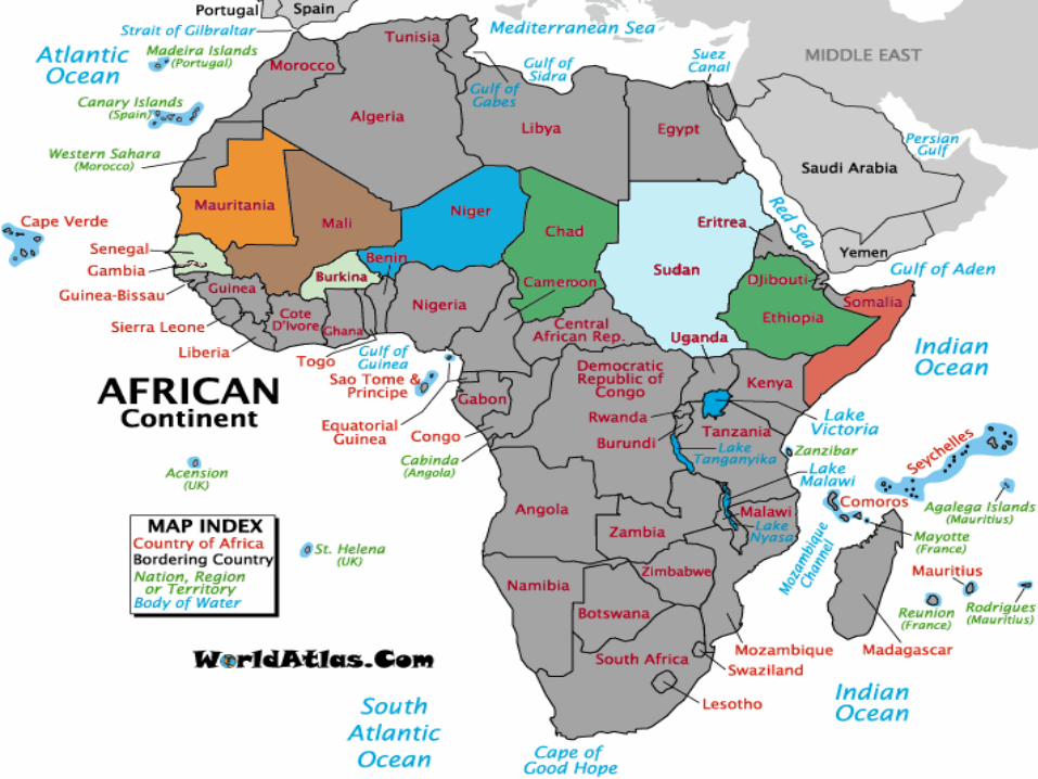
The Geography of AfricaThe Geography of Africa
Landforms of Africa South of the Landforms of Africa South of the SaharaSahara
• Africa has two major land type– Lowlands in the north and west– Highlands in the south and east
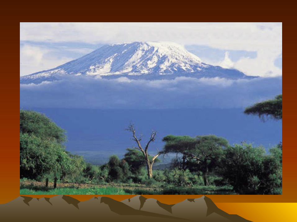
• The highest mountain is Mount Kilimanjaro– Comes from Swahili means shining mountain
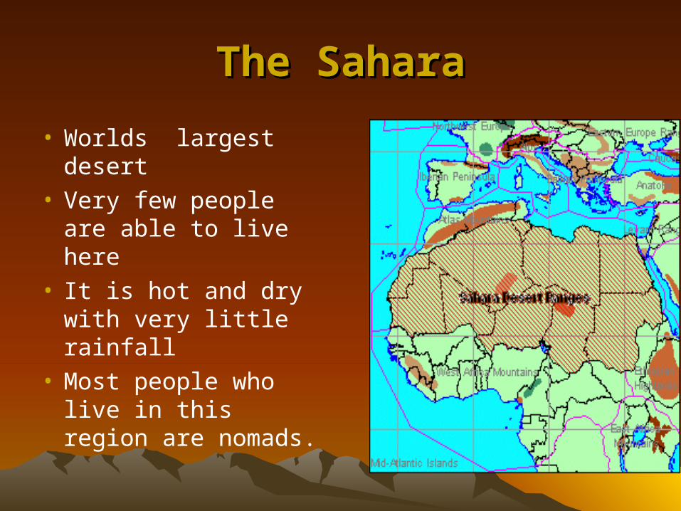
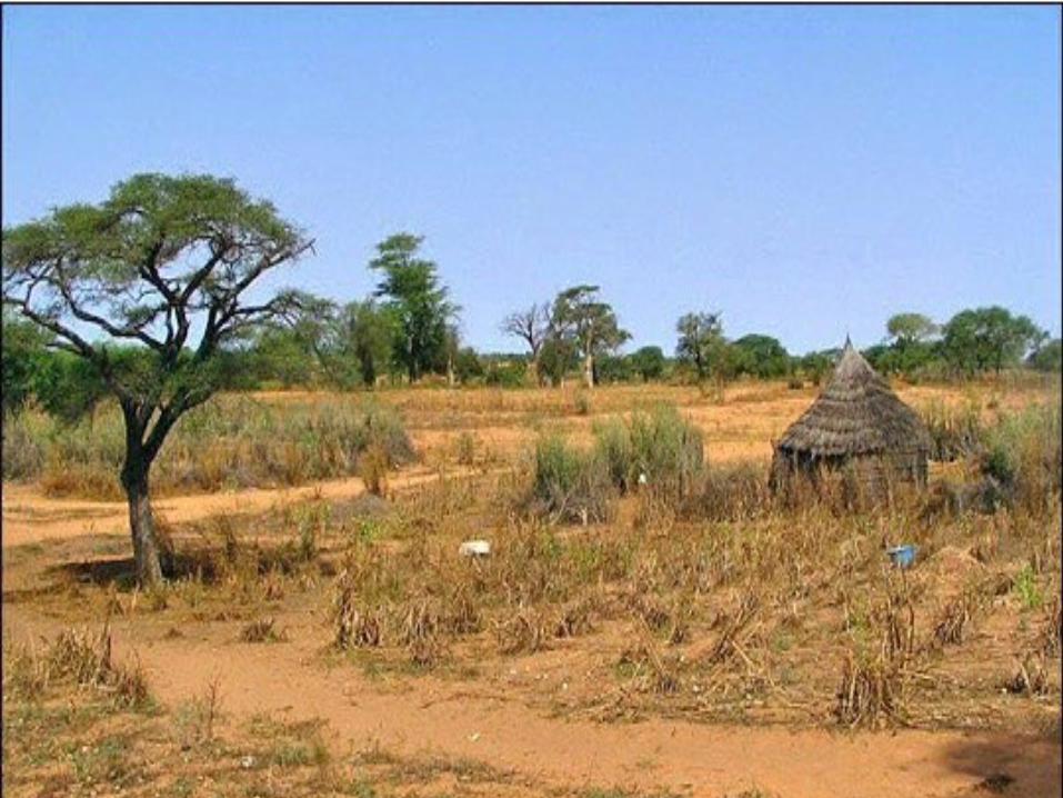
The SaharaThe Sahara
• Worlds largest desert• Very few people are
able to live here• It is hot and dry with
very little rainfall• Most people who live
in this region are nomads.
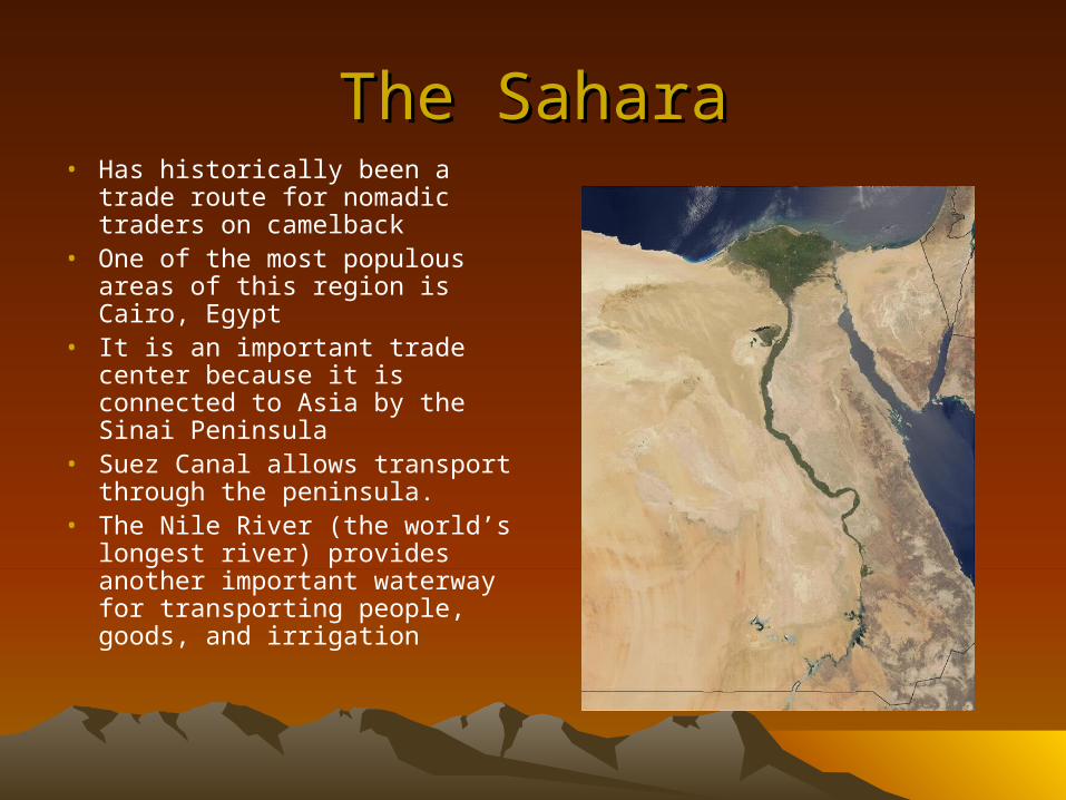
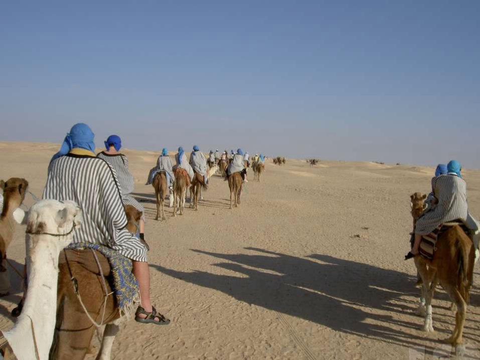
The SaharaThe Sahara• Has historically been a trade
route for nomadic traders on camelback
• One of the most populous areas of this region is Cairo, Egypt
• It is an important trade center because it is connected to Asia by the Sinai Peninsula
• Suez Canal allows transport through the peninsula.
• The Nile River (the world’s longest river) provides another important waterway for transporting people, goods, and irrigation
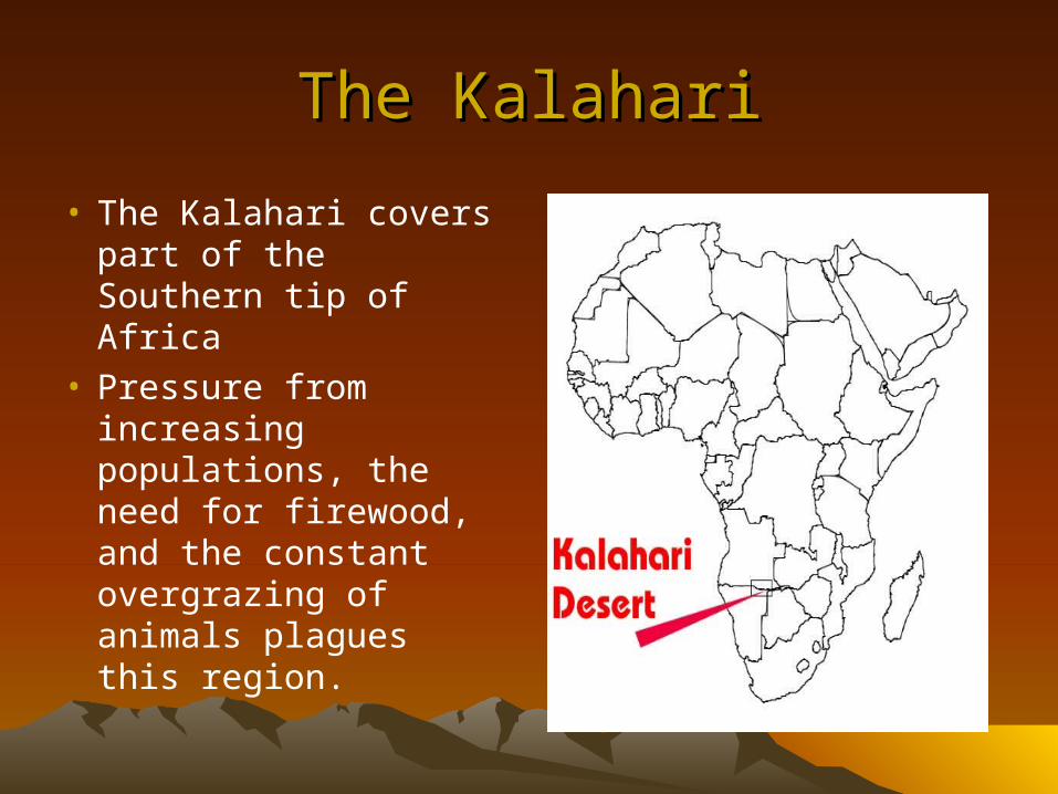
The KalahariThe Kalahari
• The Kalahari covers part of the Southern tip of Africa
• Pressure from increasing populations, the need for firewood, and the constant overgrazing of animals plagues this region.
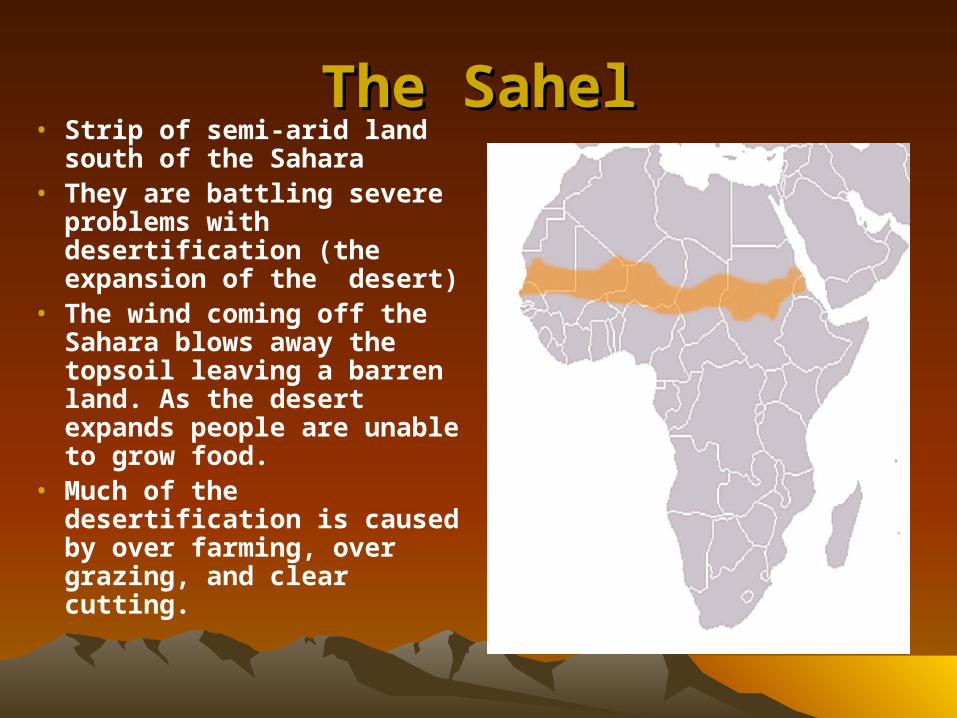
The SahelThe Sahel• Strip of semi-arid land
south of the Sahara• They are battling severe
problems with desertification (the expansion of the desert)
• The wind coming off the Sahara blows away the topsoil leaving a barren land. As the desert expands people are unable to grow food.
• Much of the desertification is caused by over farming, over grazing, and clear cutting.
• The region depends on farming so it can be devastated by bad weather
• In the 70’s they suffered a drought where almost 200,000 people died.
• Many people gave up farming and moved to the cities, but the cities are too poor to accommodate the population
• Many people live without electricity, running water, or proper sewers.
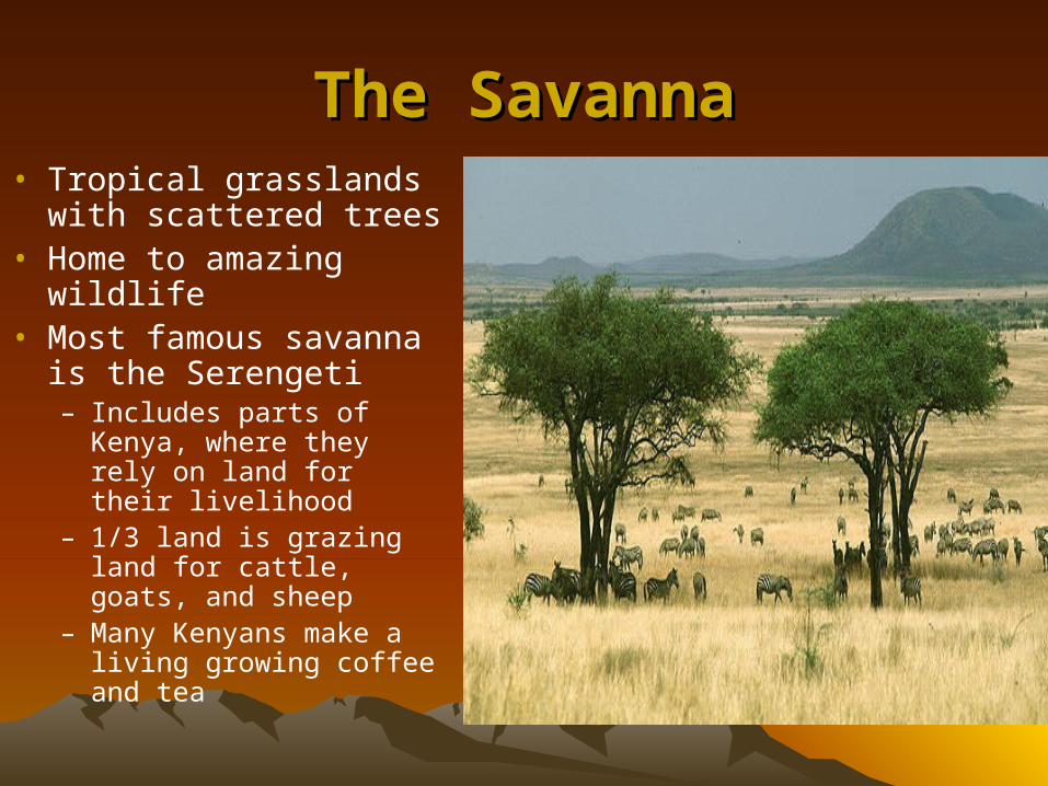
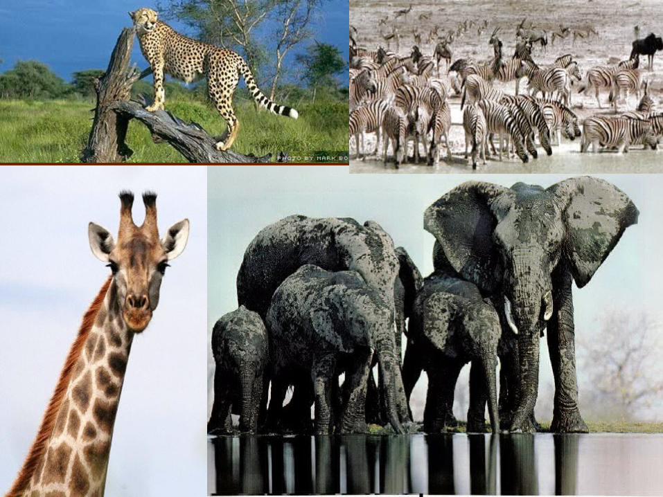
The SavannaThe Savanna• Tropical grasslands with
scattered trees• Home to amazing wildlife• Most famous savanna is
the Serengeti– Includes parts of Kenya,
where they rely on land for their livelihood
– 1/3 land is grazing land for cattle, goats, and sheep
– Many Kenyans make a living growing coffee and tea
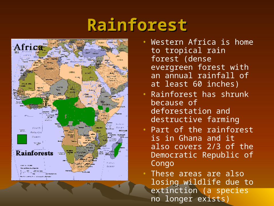
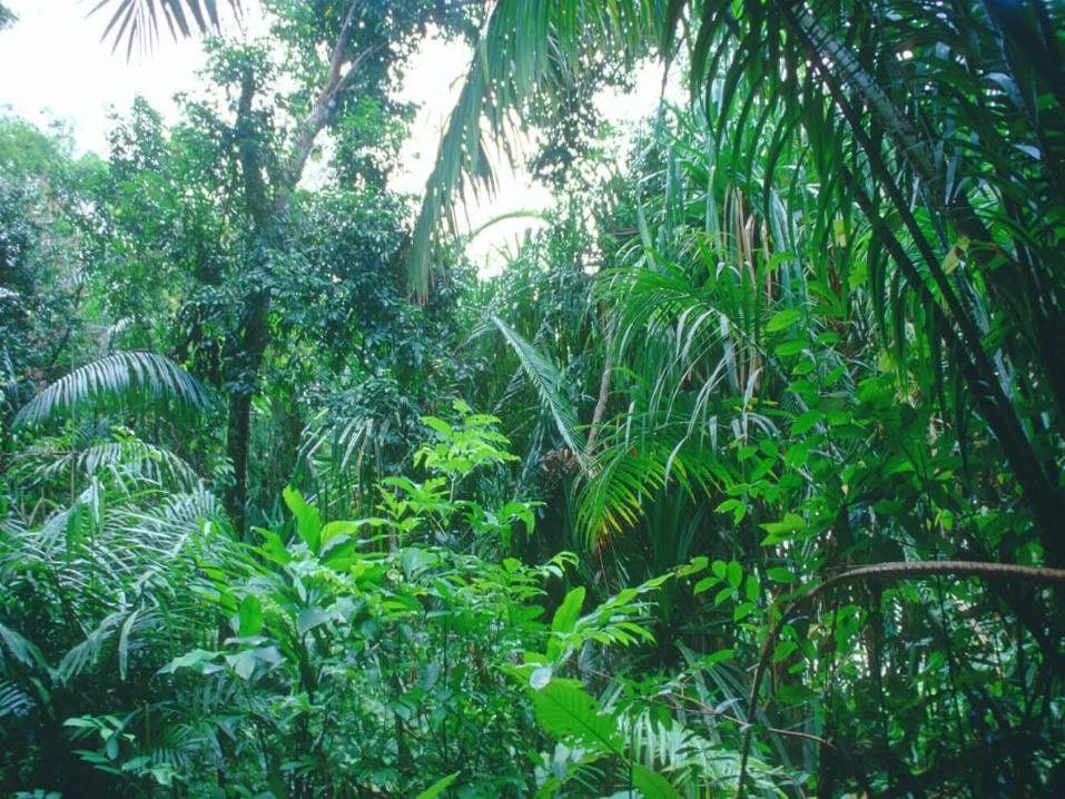
RainforestRainforest• Western Africa is home to
tropical rain forest (dense evergreen forest with an annual rainfall of at least 60 inches)
• Rainforest has shrunk because of deforestation and destructive farming
• Part of the rainforest is in Ghana and it also covers 2/3 of the Democratic Republic of Congo
• These areas are also losing wildlife due to extinction (a species no longer exists)
RiftsRifts
• The tectonic plates of Africa have been pulling apart for 50 million years
• This has caused steep walled valleys called Rifts.
• The great Rift Valley stretches from the Red Sea to Mozambique
• The Great Rift Valley in East Africa, is gradually getting bigger because it is pulled away from the rest of the continent.
• Eventually this will cause East Africa to become an island.
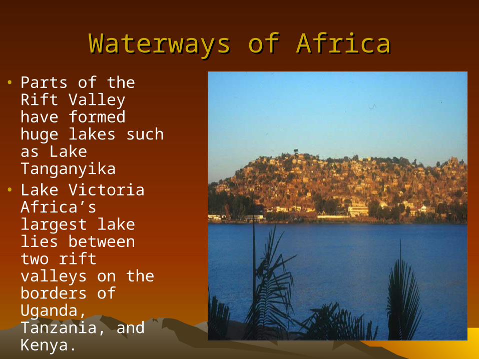
Waterways of AfricaWaterways of Africa• Parts of the Rift
Valley have formed huge lakes such as Lake Tanganyika
• Lake Victoria Africa’s largest lake lies between two rift valleys on the borders of Uganda, Tanzania, and Kenya.
Great LakesGreat Lakes
• Rwanda and the Congo are a part of the Great Lakes region
• 15 lakes in this region
• Lake Victoria is the largest lake
• Lake Tanganyika is the deepest lake
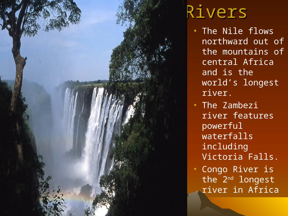
RiversRivers• The Nile flows
northward out of the mountains of central Africa and is the world’s longest river.
• The Zambezi river features powerful waterfalls including Victoria Falls.
• Congo River is the 2nd longest river in Africa
Many ClimatesMany Climates
• Africa has four major climate zones (desert, semiarid, tropical, and equatorial)– Desert- North of the Sahara to Namib (have
little rain, high temperatures, and few plants and animals.
– Semiarid- south of the Sahara in the Sahel. This area is experiencing desertification (a process where deserts spread) drought and overgrazing cause this.
– Tropical- this extends from the semiarid areas to the equator. There is a rainy season for six months and six dry months.
• Savannas are often found in both the semiarid and tropical areas. They are flat grasslands with scattered trees and shrubs. Many animals live on these lands.
– Equatorial- has two rainy seasons and two brief dry seasons and is located near the equator. Has high temperatures and 50-60 inches of rain per year.