Embed Size (px)
Citation preview
The Five
Themes of
Geography
Unit 14 min
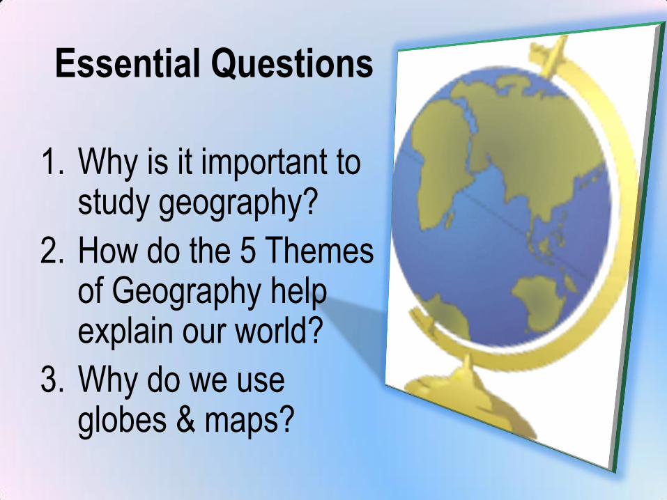
Essential Questions
1. Why is it important to study geography?
2. How do the 5 Themes of Geography help explain our world?
3. Why do we use globes & maps?
Unit Objectives
By the end of the unit, you will:
1. Create tools to illustrate geographical information (6.1.01)
2. Use tools to answer geography questions (6.1.02)
3. Use geographical tools to compare countries (6.1.03)
4. Use map & globe reading skills (SS.3.01)
How do you see the
world?
Take the next few
minutes & draw a map
of the world.
Be sure to include
everything that you
know or can remember
Label & color your map
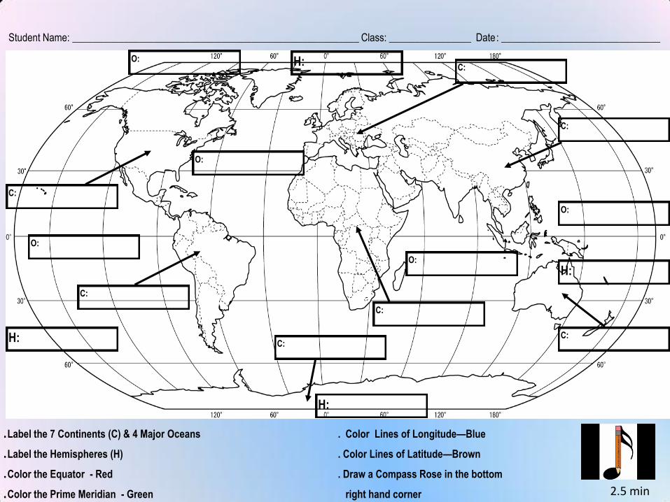
Student Name: ________________________________________________________ Class: ________________ Date: _______________________________
.Label the 7 Continents (C) & 4 Major Oceans . Color Lines of Longitude—Blue
.Label the Hemispheres (H) . Color Lines of Latitude—Brown
.Color the Equator - Red . Draw a Compass Rose in the bottom
.Color the Prime Meridian - Green right hand corner
C:
C:
C:
C:
C:C:
C:
O:
O:
O:
O:
H:
H:
H:
H:
2.5 min
O:
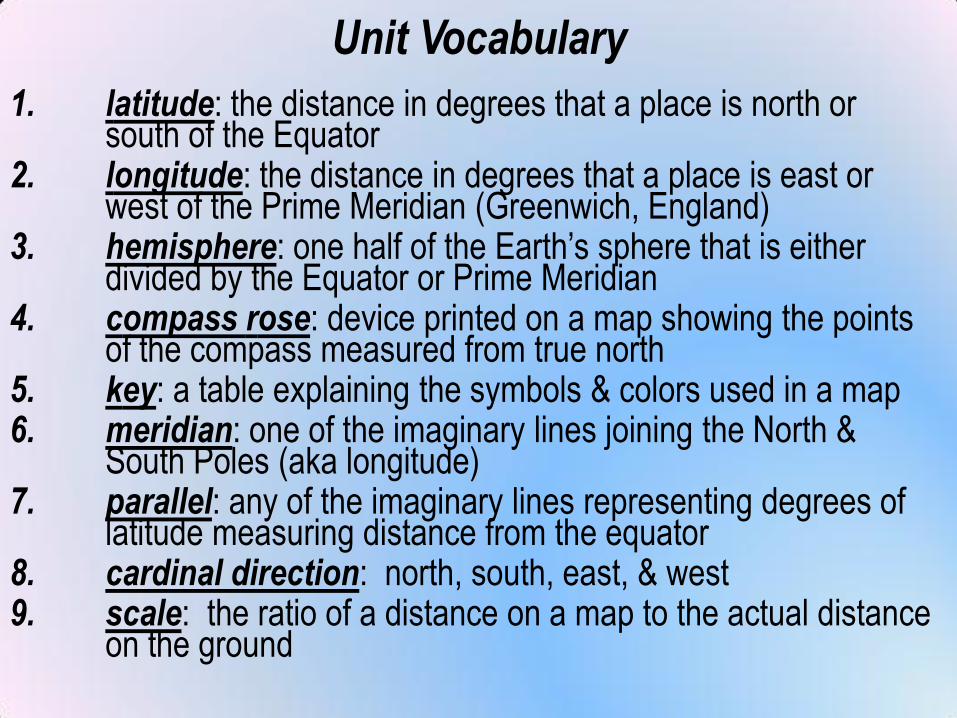
Unit Vocabulary
1. latitude: the distance in degrees that a place is north or south of the Equator
2. longitude: the distance in degrees that a place is east or west of the Prime Meridian (Greenwich, England)
3. hemisphere: one half of the Earth’s sphere that is either divided by the Equator or Prime Meridian
4. compass rose: device printed on a map showing the points of the compass measured from true north
5. key: a table explaining the symbols & colors used in a map6. meridian: one of the imaginary lines joining the North &
South Poles (aka longitude)7. parallel: any of the imaginary lines representing degrees of
latitude measuring distance from the equator8. cardinal direction: north, south, east, & west9. scale: the ratio of a distance on a map to the actual distance
on the ground
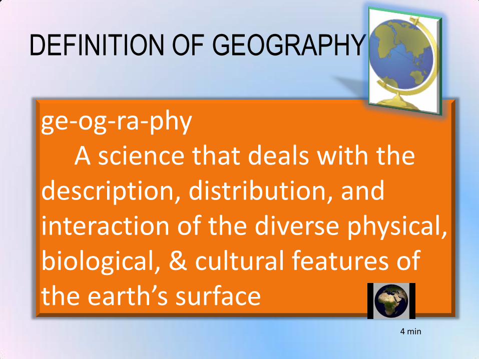
DEFINITION OF GEOGRAPHY
ge-og-ra-phyA science that deals with the
description, distribution, and interaction of the diverse physical, biological, & cultural features of the earth’s surface
4 min
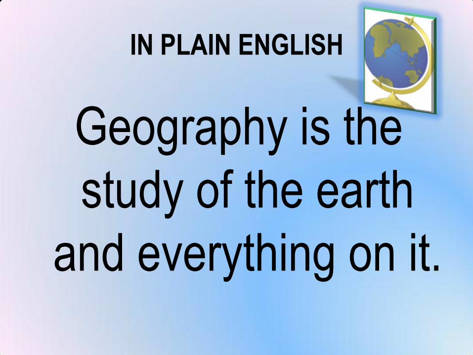
IN PLAIN ENGLISH
Geography is the
study of the earth
and everything on it.
Parts of a MapMost maps have the
following elements,
which are necessary
to read and
understand them
3.75 min
1. Title
Explains the subject of
the map and gives
you an idea of what
information the map
conveys
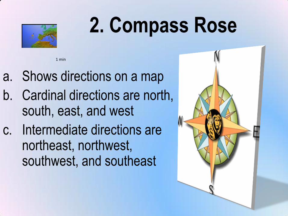
2. Compass Rose
a. Shows directions on a map
b. Cardinal directions are north, south, east, and west
c. Intermediate directions are northeast, northwest, southwest, and southeast
1 min
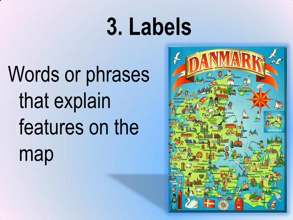
3. Labels
Words or phrases
that explain
features on the
map
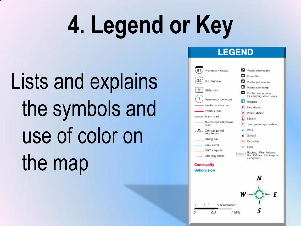
4. Legend or Key
Lists and explains
the symbols and
use of color on
the map
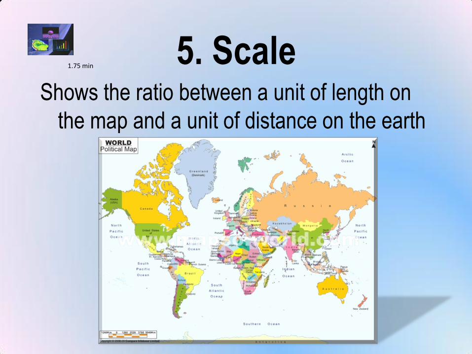
5. ScaleShows the ratio between a unit of length on
the map and a unit of distance on the earth
1.75 min
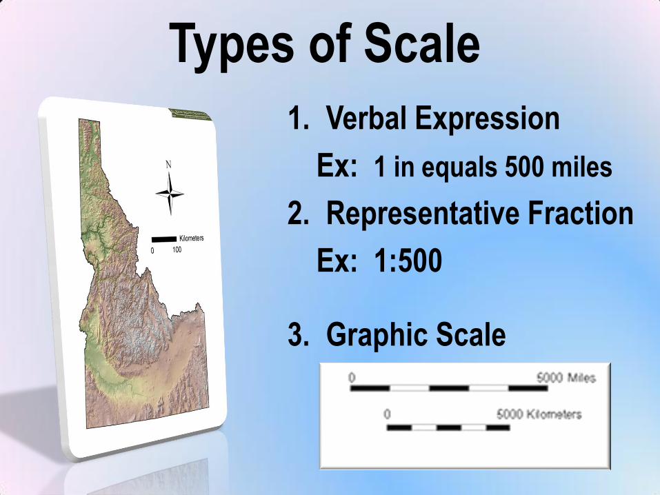
Types of Scale
1. Verbal Expression
Ex: 1 in equals 500 miles
2. Representative Fraction
Ex: 1:500
3. Graphic Scale
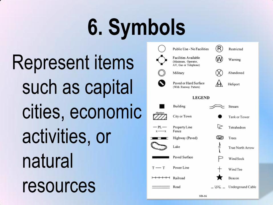
6. Symbols
Represent items
such as capital
cities, economic
activities, or
natural
resources
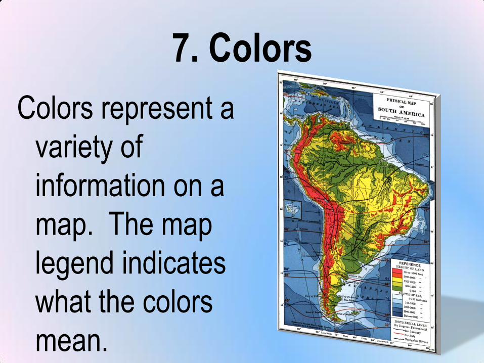
7. Colors
Colors represent a
variety of
information on a
map. The map
legend indicates
what the colors
mean.
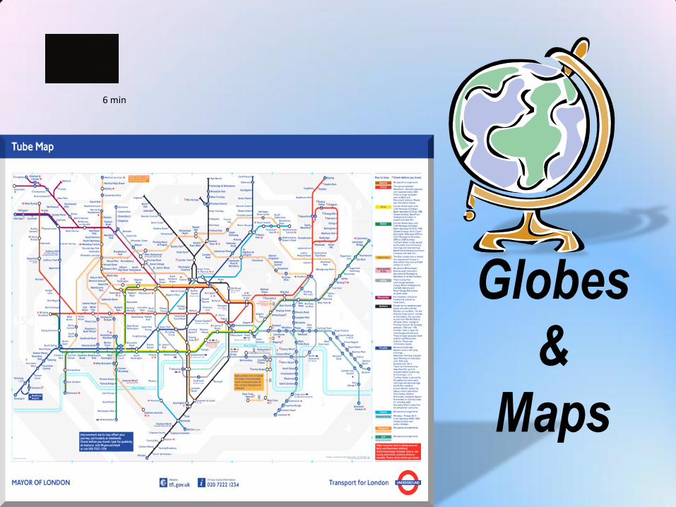
Globes
&
Maps
6 min
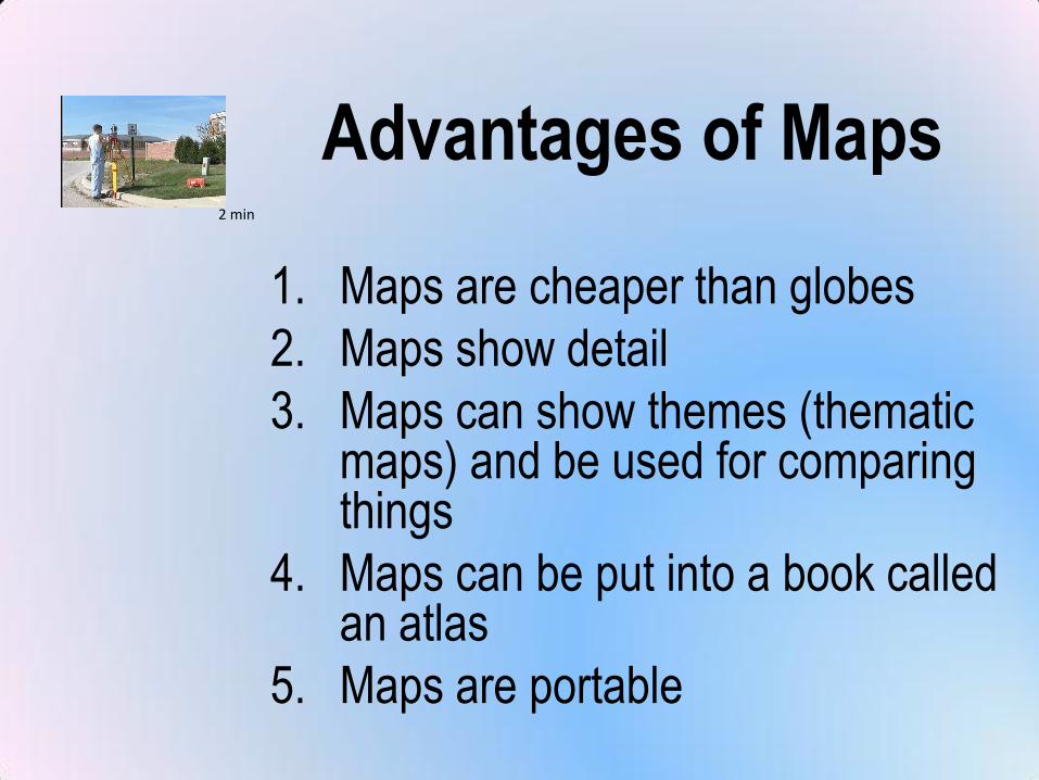
Advantages of Maps
1. Maps are cheaper than globes
2. Maps show detail
3. Maps can show themes (thematic maps) and be used for comparing things
4. Maps can be put into a book called an atlas
5. Maps are portable
2 min
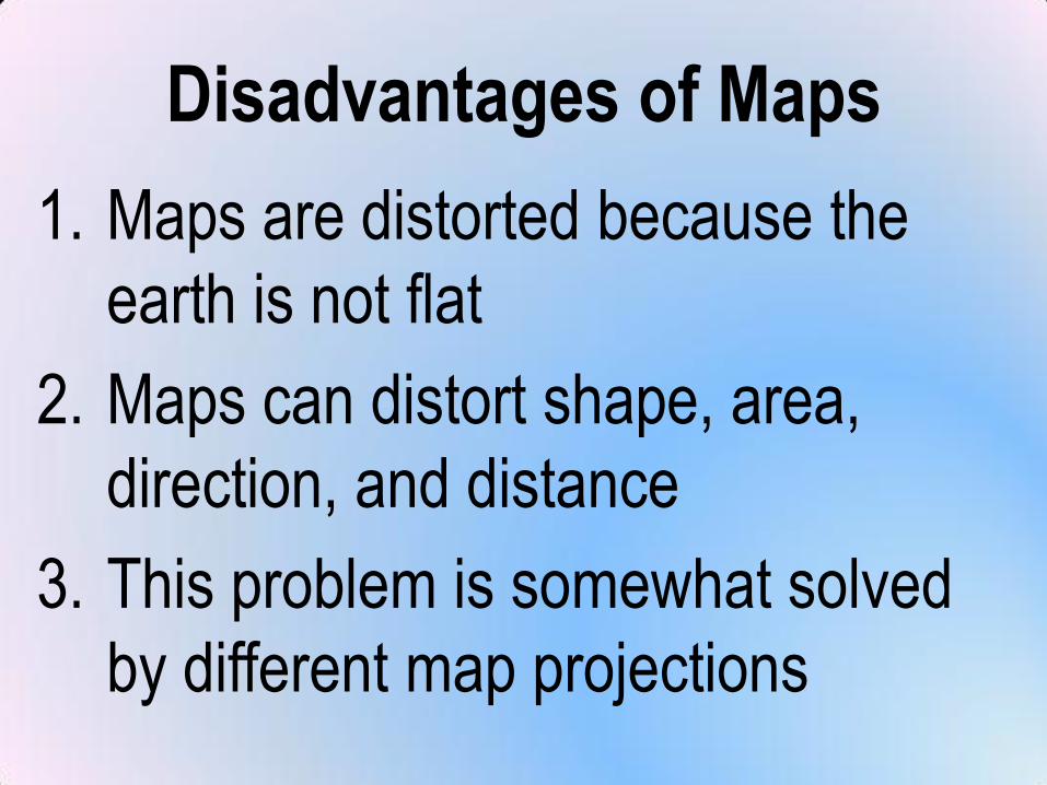
Disadvantages of Maps
1. Maps are distorted because the
earth is not flat
2. Maps can distort shape, area,
direction, and distance
3. This problem is somewhat solved
by different map projections
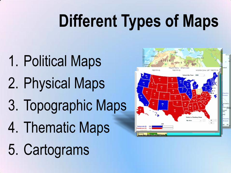
Different Types of Maps
1. Political Maps
2. Physical Maps
3. Topographic Maps
4. Thematic Maps
5. Cartograms
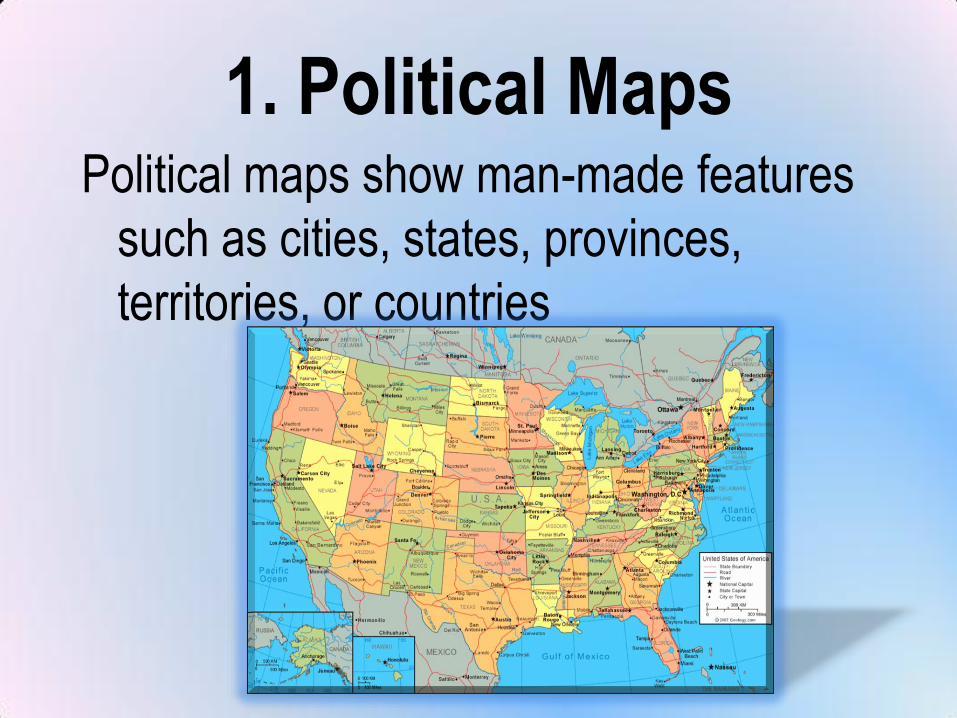
1. Political MapsPolitical maps show man-made features
such as cities, states, provinces,
territories, or countries
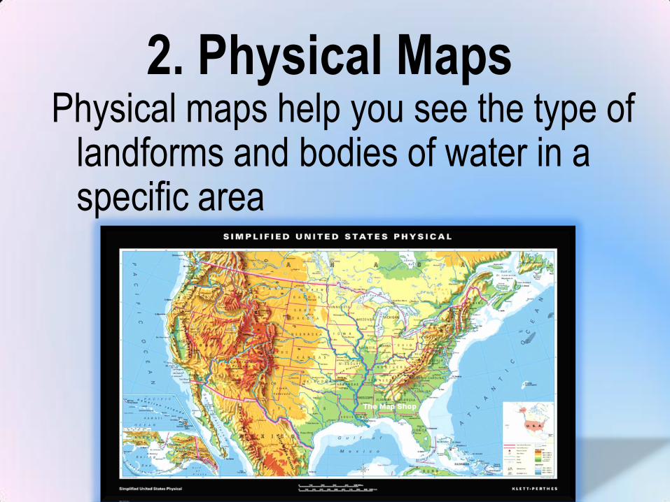
2. Physical MapsPhysical maps help you see the type of
landforms and bodies of water in a specific area

3. Thematic Maps
Thematic maps
show specific
types of
information
Examples:
1. Natural Resources
2. Language
3. Ethnicity
4. Climate
5. Precipitation
6. Vegetation
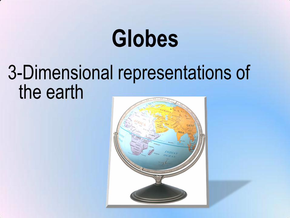
Globes
3-Dimensional representations of the earth
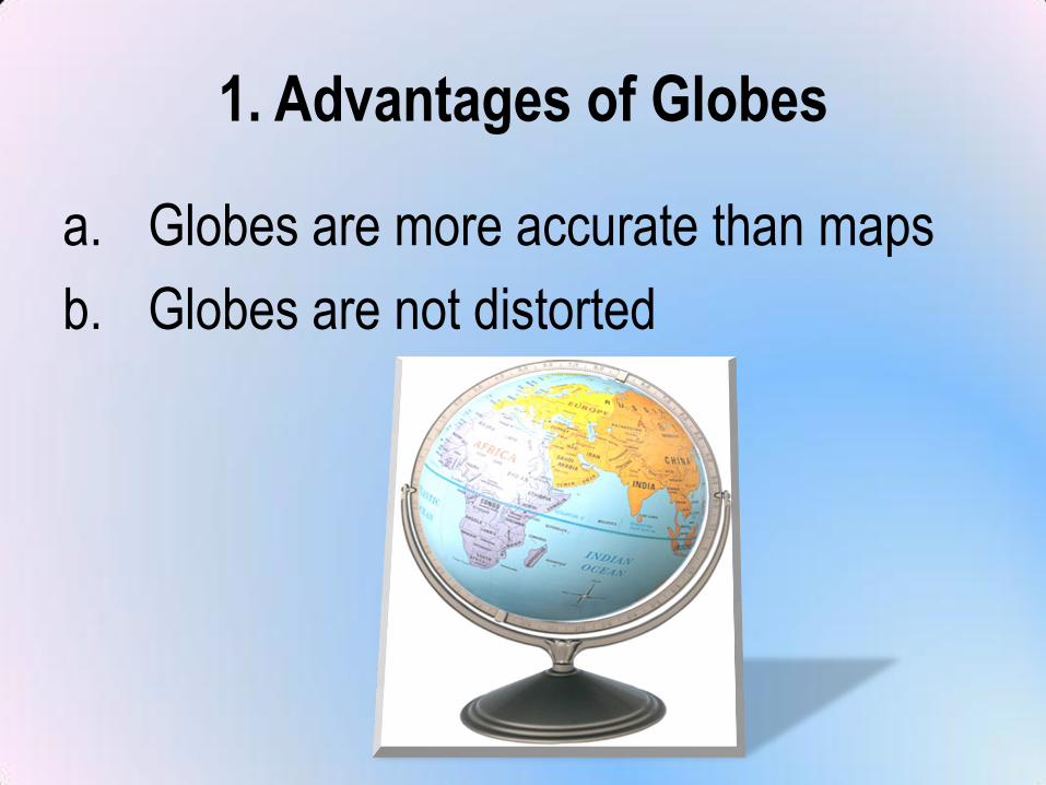
1. Advantages of Globes
a. Globes are more accurate than maps
b. Globes are not distorted
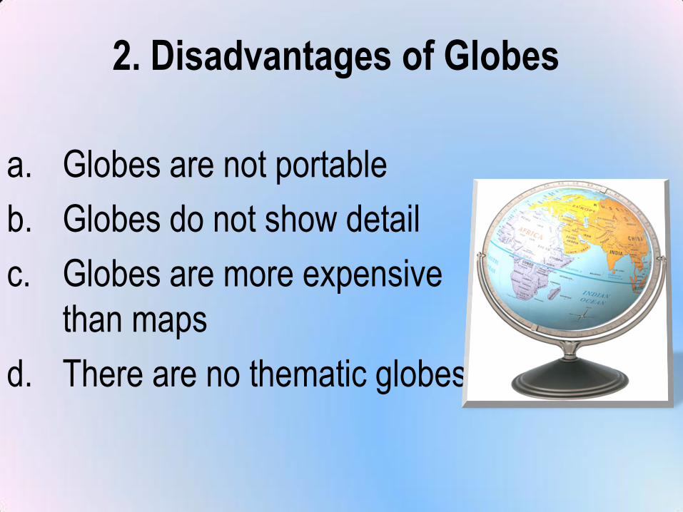
2. Disadvantages of Globes
a. Globes are not portable
b. Globes do not show detail
c. Globes are more expensive
than maps
d. There are no thematic globes
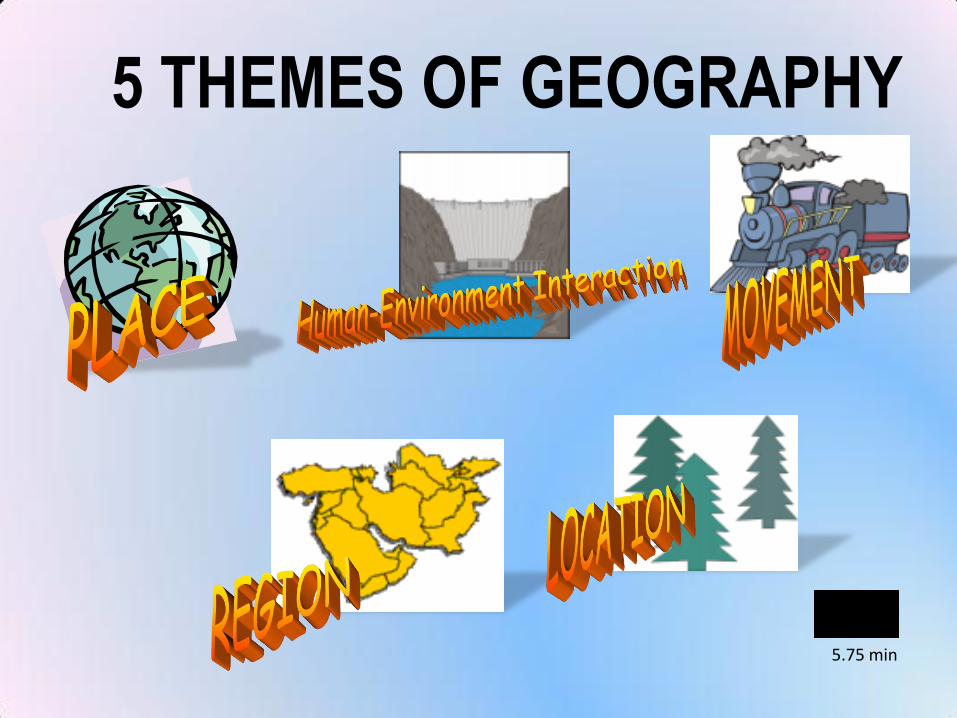
5 THEMES OF GEOGRAPHY
5.75 min
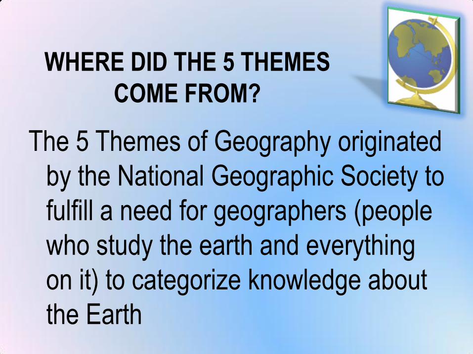
WHERE DID THE 5 THEMES
COME FROM?
The 5 Themes of Geography originated
by the National Geographic Society to
fulfill a need for geographers (people
who study the earth and everything
on it) to categorize knowledge about
the Earth
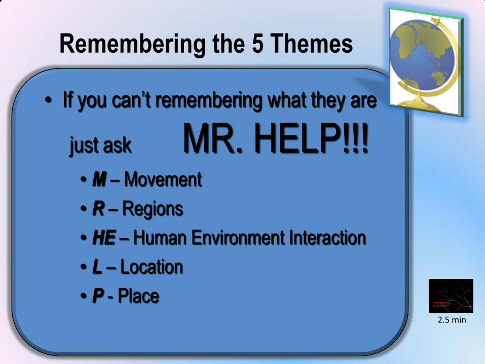
Remembering the 5 Themes
• If you can’t remembering what they are
just ask MR. HELP!!!• M – Movement
• R – Regions
• HE – Human Environment Interaction
• L – Location
• P - Place2.5 min
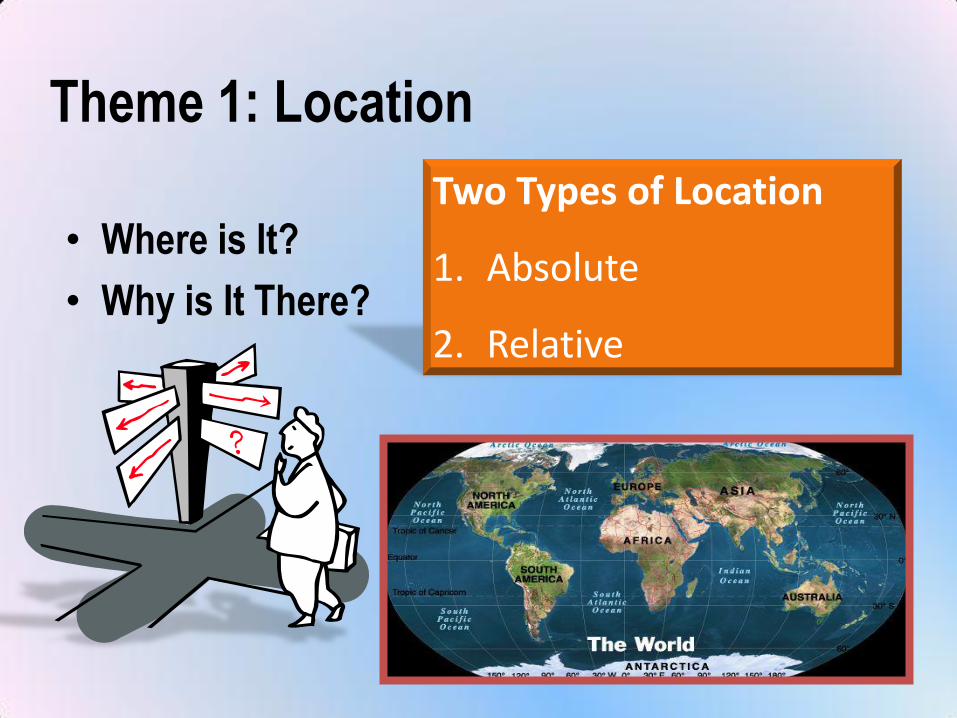
Theme 1: Location
• Where is It?
• Why is It There?
Two Types of Location
1. Absolute
2. Relative
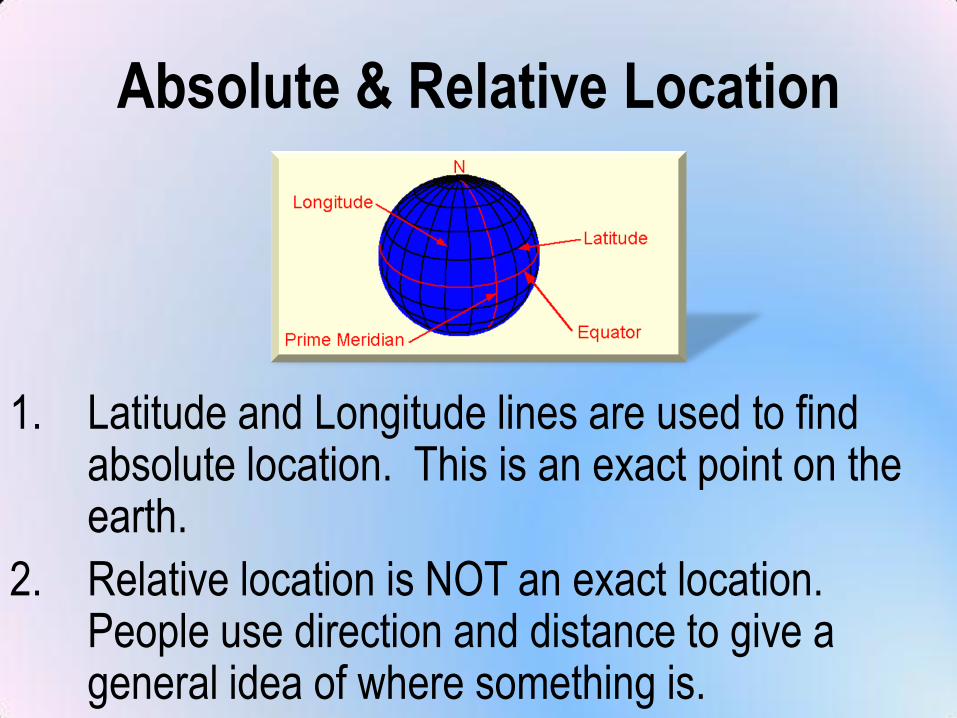
Absolute & Relative Location
1. Latitude and Longitude lines are used to find absolute location. This is an exact point on the earth.
2. Relative location is NOT an exact location. People use direction and distance to give a general idea of where something is.
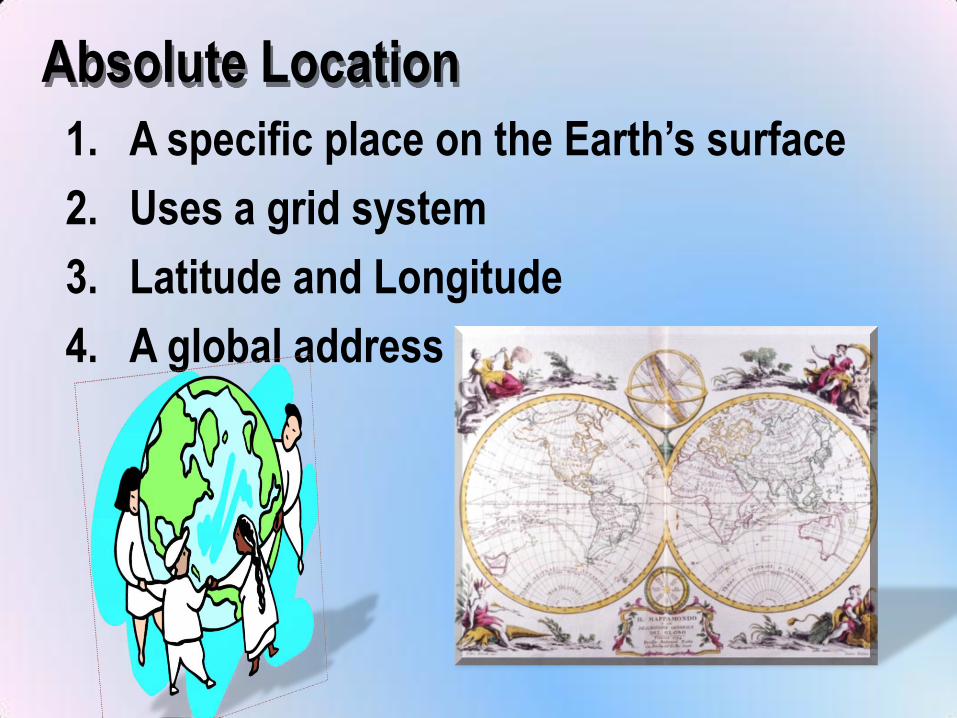
Absolute Location
1. A specific place on the Earth’s surface
2. Uses a grid system
3. Latitude and Longitude
4. A global address
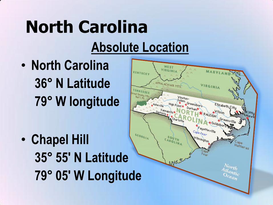
North CarolinaAbsolute Location
• North Carolina
36° N Latitude
79° W longitude
• Chapel Hill
35° 55' N Latitude
79° 05' W Longitude
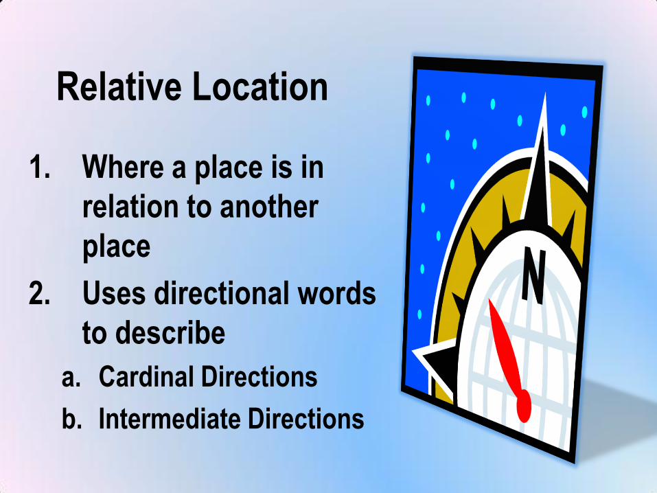
Relative Location
1. Where a place is in
relation to another
place
2. Uses directional words
to describe
a. Cardinal Directions
b. Intermediate Directions
North Carolina
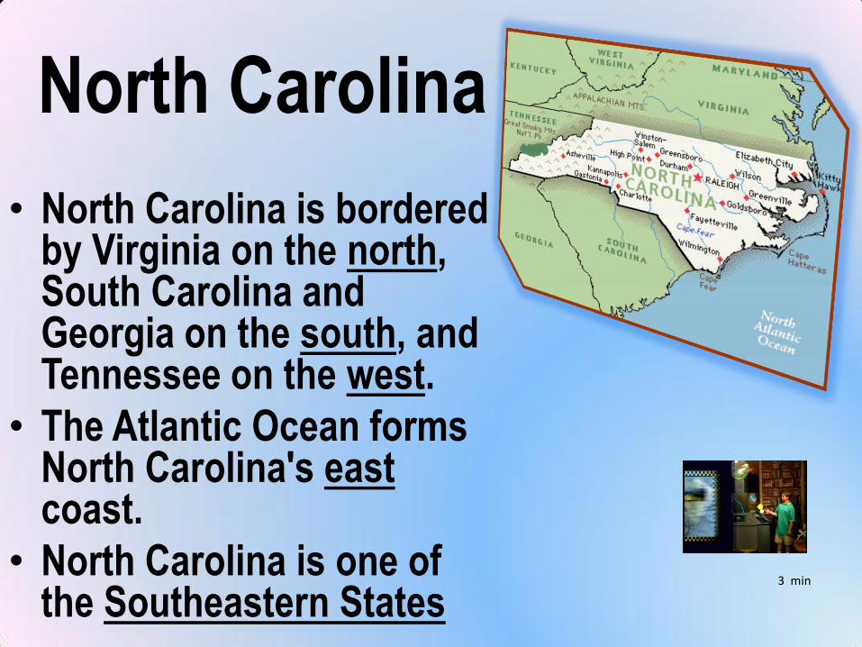
• North Carolina is bordered by Virginia on the north, South Carolina and Georgia on the south, and Tennessee on the west.
• The Atlantic Ocean forms North Carolina's eastcoast.
• North Carolina is one of the Southeastern States
3 min
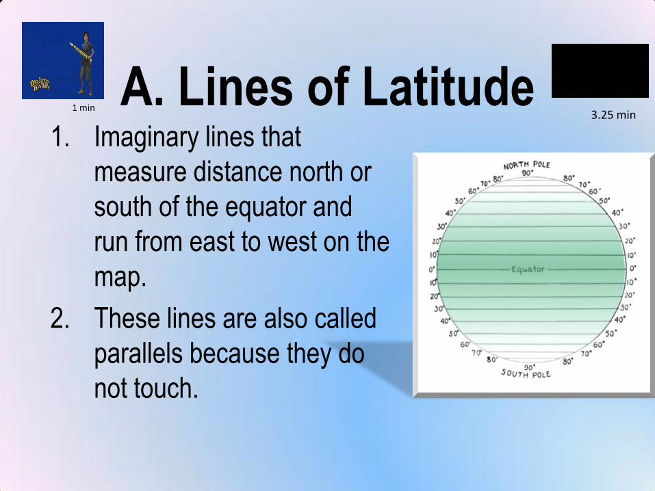
A. Lines of Latitude1. Imaginary lines that
measure distance north or
south of the equator and
run from east to west on the
map.
2. These lines are also called
parallels because they do
not touch.
1 min3.25 min
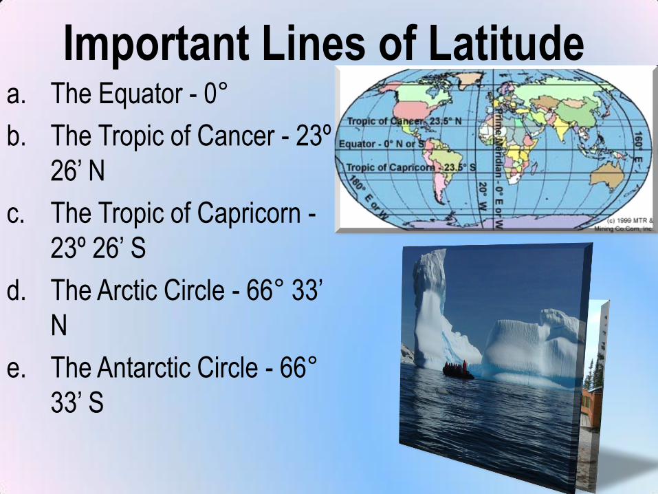
Important Lines of Latitudea. The Equator - 0°
b. The Tropic of Cancer - 23º
26’ N
c. The Tropic of Capricorn -
23º 26’ S
d. The Arctic Circle - 66° 33’
N
e. The Antarctic Circle - 66°
33’ S
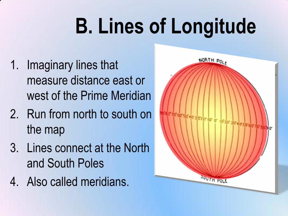
B. Lines of Longitude
1. Imaginary lines that
measure distance east or
west of the Prime Meridian
2. Run from north to south on
the map
3. Lines connect at the North
and South Poles
4. Also called meridians.
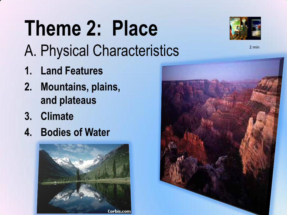
Theme 2: PlaceA. Physical Characteristics1. Land Features
2. Mountains, plains,
and plateaus
3. Climate
4. Bodies of Water
2 min
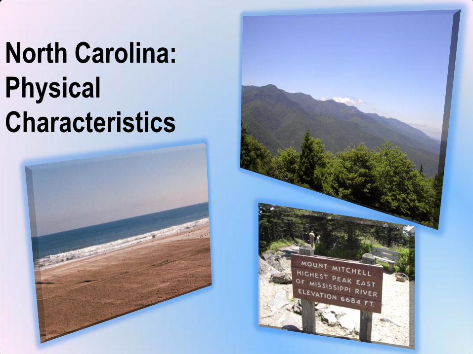
North Carolina:
Physical
Characteristics
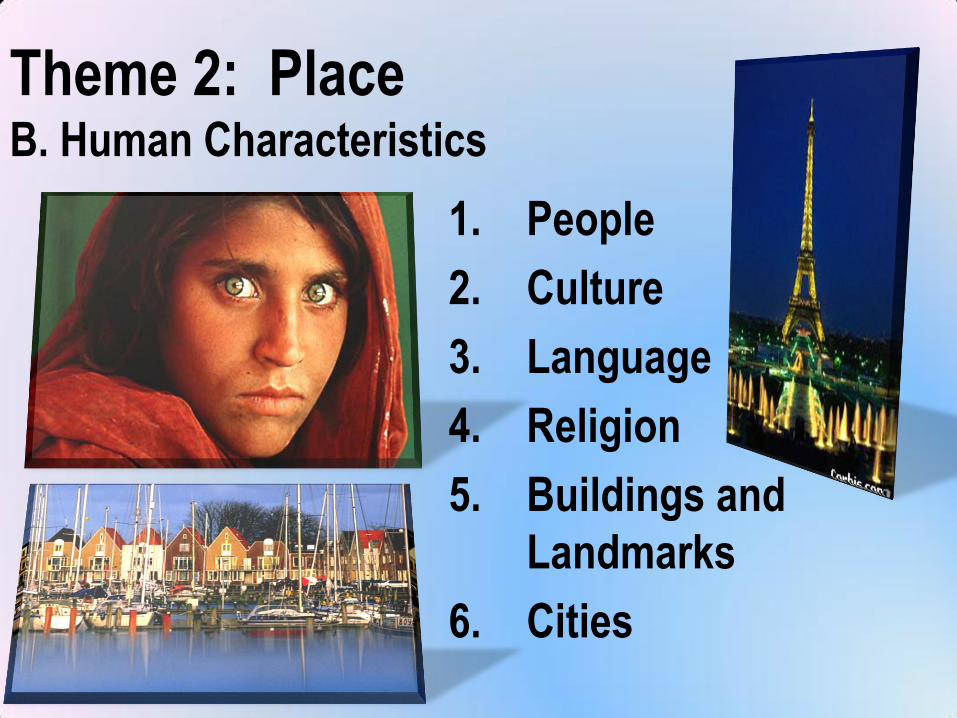
Theme 2: PlaceB. Human Characteristics
1. People
2. Culture
3. Language
4. Religion
5. Buildings and
Landmarks
6. Cities
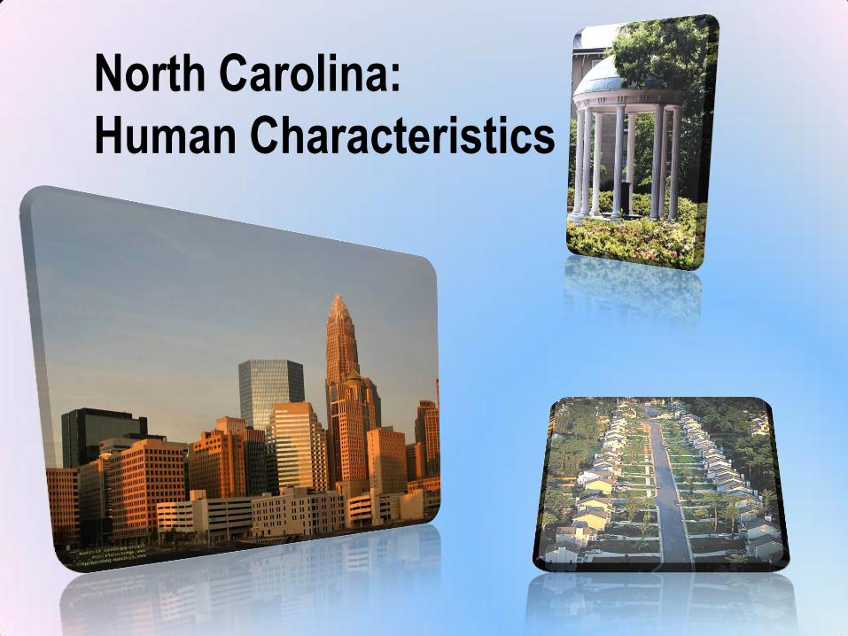
North Carolina:
Human Characteristics
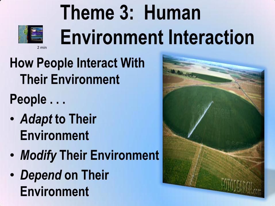
Theme 3: Human
Environment InteractionHow People Interact With
Their Environment
People . . .
• Adapt to Their
Environment
• Modify Their Environment
• Depend on Their
Environment
2 min
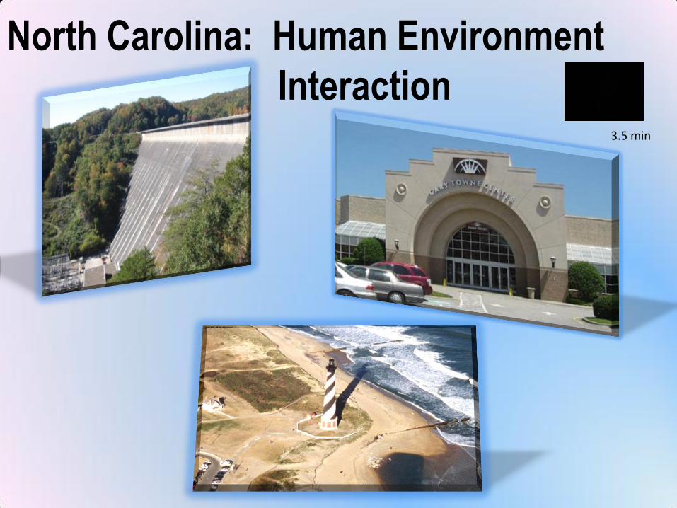
North Carolina: Human Environment
Interaction3.5 min
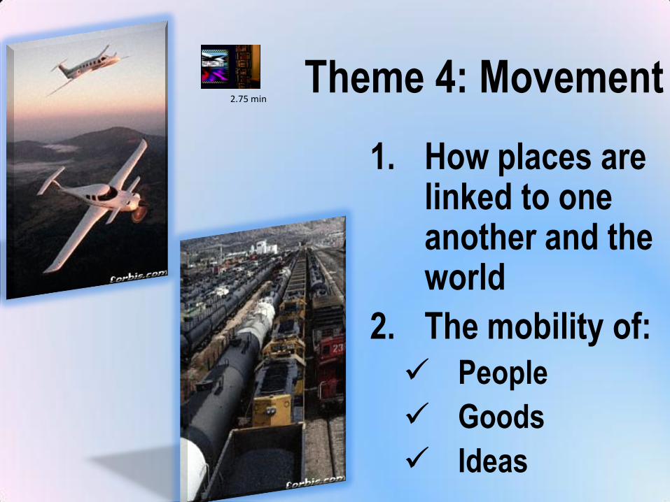
Theme 4: Movement
1. How places are linked to one another and the world
2. The mobility of:
People
Goods
Ideas
2.75 min
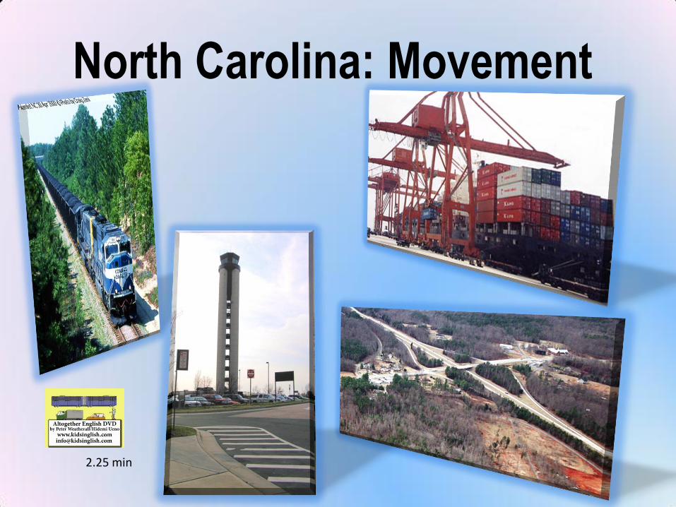
North Carolina: Movement
2.25 min
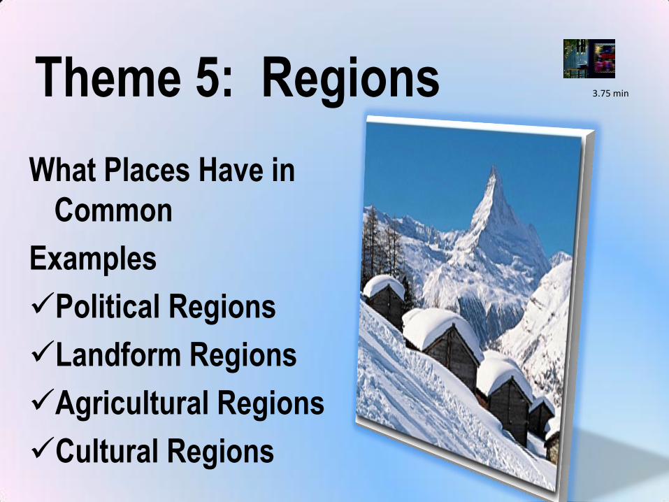
Theme 5: Regions
What Places Have in
Common
Examples
Political Regions
Landform Regions
Agricultural Regions
Cultural Regions
3.75 min
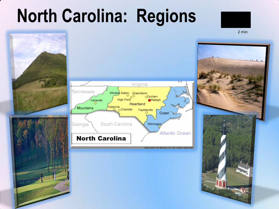
North Carolina: Regions2 min
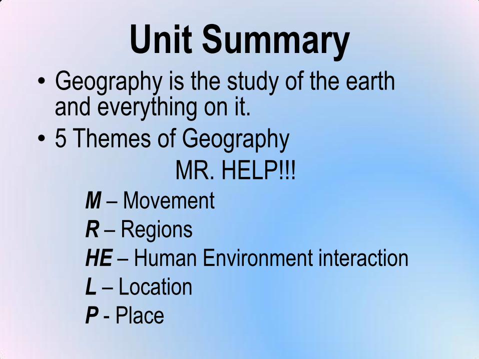
Unit Summary• Geography is the study of the earth
and everything on it.
• 5 Themes of Geography
MR. HELP!!!M – Movement
R – Regions
HE – Human Environment interaction
L – Location
P - Place