Embed Size (px)
Citation preview

The Design and Deployment of an Enterprise Asset Data
Collection Solution

Presenters
• Mark James– Chesapeake Midstream
• Jake Opdahl– CartoPac Field Solutions
Outline
• Project History• Project Goals• Mobile Solution Requirements• Phase I Implementation• Phase I Results• Future Considerations• Questions and Answers

Project History• The Data Problem…
– Multiple fragmented sources– No standard format– No storage solution– Data recall impossible– Unknown data quality– Data collection standards
• Midstream Data Needs– Enterprise wide usage– Maintain/Archive records– Data Standardization

Project Goals• Survey Data Standardization
– Utilize same standard for all data collection methods, i.e. mapping grade, survey grade
– Utilize a standard Feature Code Library
• Combine Internal/External Data into Single Storage– Esri ArcSDE layer
• Streamline Processes– Data Collection– Data Upload
• Rapid Mobilization– Minimal Training– Utilize Existing Personnel

Mobile Solution Requirements• Forms Based GPS Data Collection
– Utilize standard feature code structure
• Minimize Training Required– No user software required
• Automate Post Processing– Data Quality Control
• Streamline Data Transfer to and from ArcSDE• Maximize Efficiency & Accuracy with Existing Resources
Handheld GPS Data
GIS
Multiple Storage Locations
Survey Data from Multiple
Sources Enterprise Usage
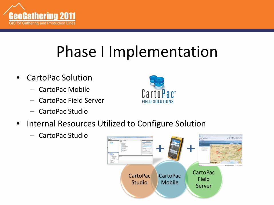
Phase I Implementation• CartoPac Solution
– CartoPac Mobile– CartoPac Field Server– CartoPac Studio
• Internal Resources Utilized to Configure Solution– CartoPac Studio
CartoPac Mobile
CartoPac Field
Server
CartoPac Studio


Phase I Results• Enhancements and optimizations are easily implemented with
little to no follow up training requiredData Controlled by
Feature CodeLibrary
Standard Data FormatEasily Captured by GIS
Immediate data availability
Automated Post Processing of GPS data
SDE

Additional Tools• Third Party Drafting Software Integration
– AutoCAD Civil 3d– BlueSky
• Esri Silverlight API – Web based map viewer and editor
Needs a graphic
New Solutions/Projects
• Usage reports– Metrics on usage for management reporting– Use by area, data quality, etc.
• CSV Export from web map– Non GIS platforms
• O&M Forms

Thank You
• Questions?• Mark James…
– 405.935.2144– [email protected]
• Jake Opdahl– 970.692.5181– [email protected]