Embed Size (px)
Citation preview
1
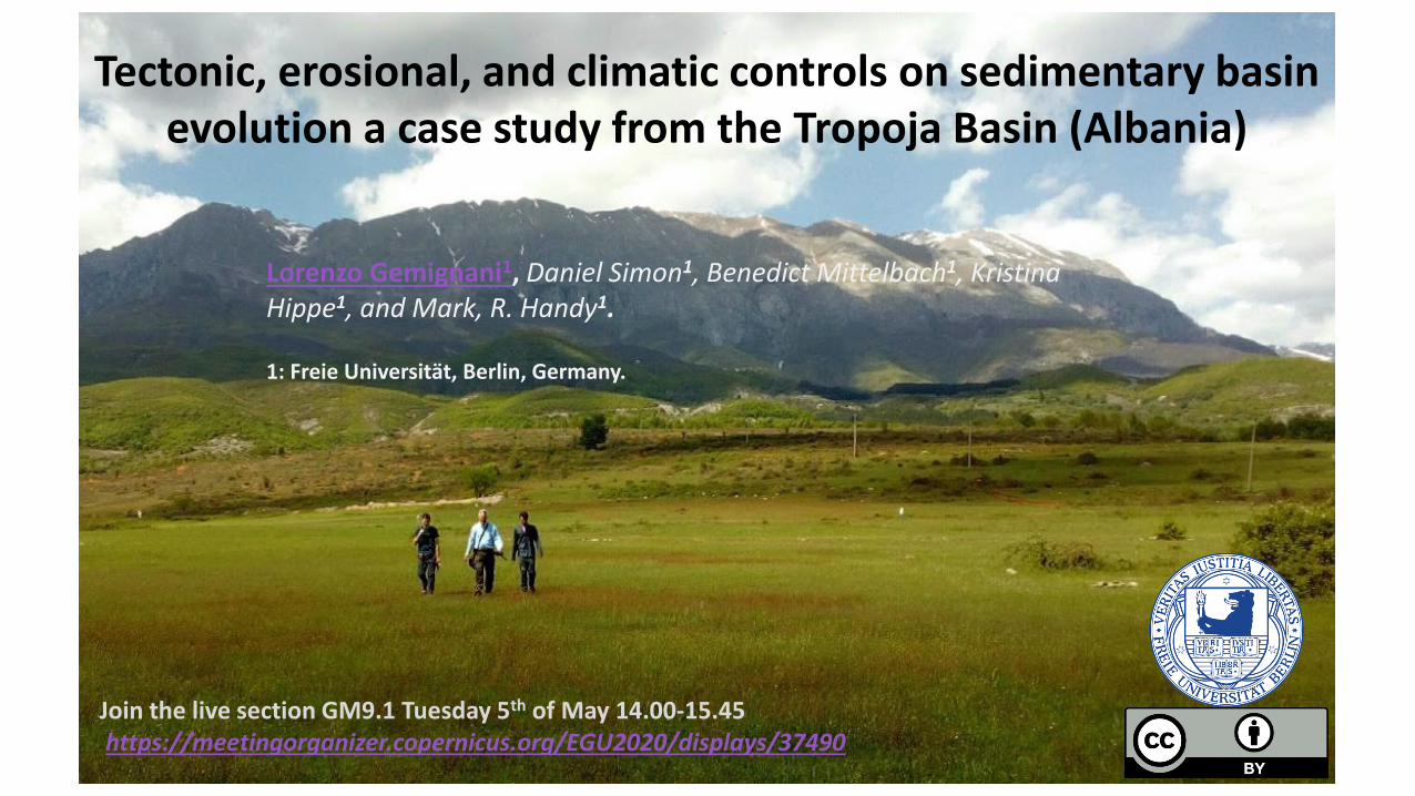
Tectonic, erosional, and climatic controls on sedimentary basin evolution a case study from the Tropoja Basin (Albania)
Lorenzo Gemignani1, Daniel Simon1, Benedict Mittelbach1, Kristina Hippe1, and Mark, R. Handy1. 1: Freie Universität, Berlin, Germany.
Join the live section GM9.1 Tuesday 5th of May 14.00-15.45 https://meetingorganizer.copernicus.org/EGU2020/displays/37490

2
Modified after Handy et al., 2019
• At the Dinarides-Hellenides belt transition, Neogene tectonics and associated fault systems are regulated by mechanisms induced by the Hellenic slab roll-back (Fig. 1.a) (Handy et al., 2019).
• The Skhoder-Peja normal fault (SPNF) is the expression of orogenic extension at the Dinarides-Hellenides transition.
• The Tropoja basin (NE-Albania) is located in the hanging wall of the SPNF (fig 1b) westward the Kosovo basin.
• The Tropoja basin is characterized by multiple river terraces infill with heterogeneous composition and high topographic relief north of the SPNF Fig.1c.
Extensional tectonics at the Dinarides-Hellenides transition: the SPNF fault system and associated basins
a.
b.
Figure 1. a) Schematic Neogene fault system and schematic Hellinides slab roll back. b) Geological map of the SPNF at the Dinarides-Hellenides transition. c) Topographic relief related to the SPNF north of the Tropoja basin.
c.
E
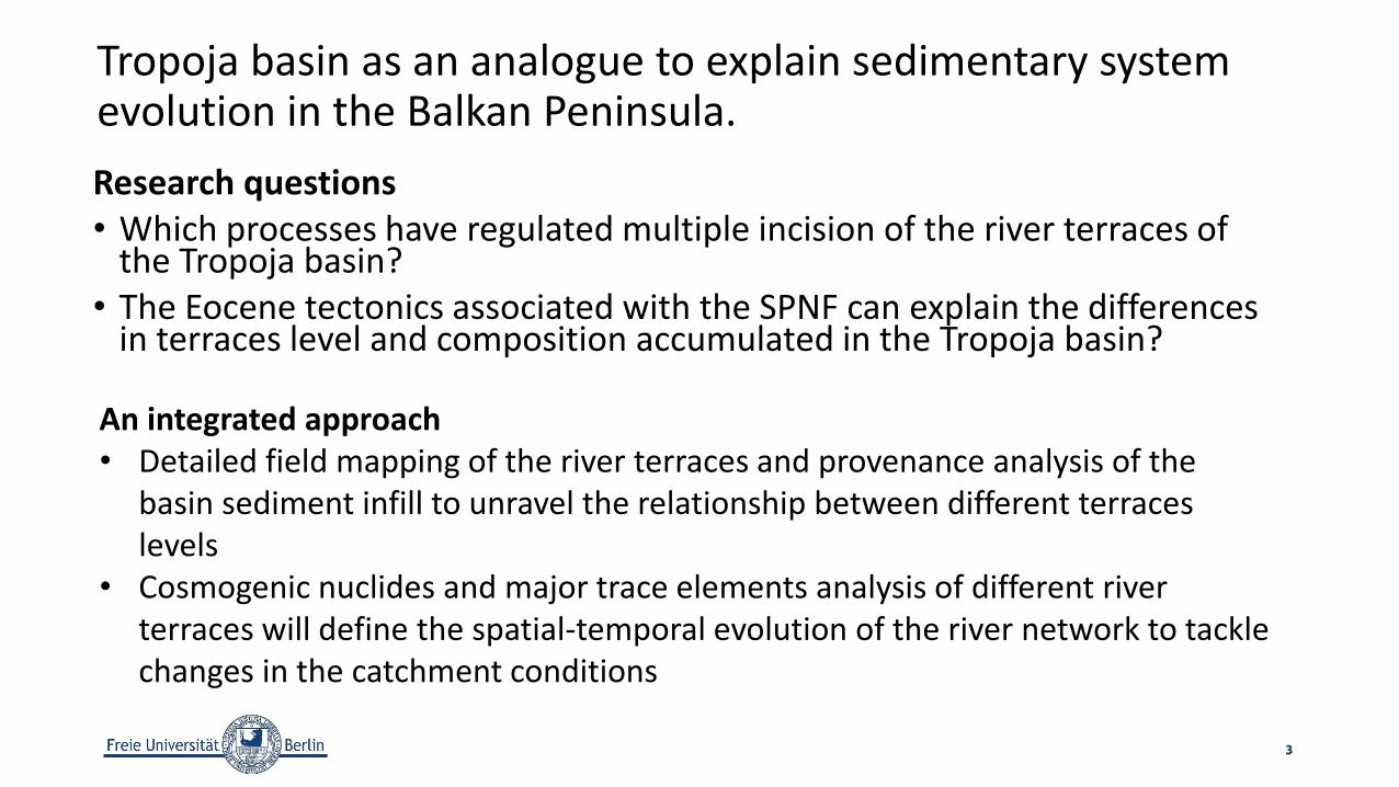
Tropoja basin as an analogue to explain sedimentary system evolution in the Balkan Peninsula.
Research questions • Which processes have regulated multiple incision of the river terraces of
the Tropoja basin? • The Eocene tectonics associated with the SPNF can explain the differences
in terraces level and composition accumulated in the Tropoja basin?
3
An integrated approach • Detailed field mapping of the river terraces and provenance analysis of the
basin sediment infill to unravel the relationship between different terraces levels
• Cosmogenic nuclides and major trace elements analysis of different river terraces will define the spatial-temporal evolution of the river network to tackle changes in the catchment conditions

4
b. a.
Figure 2a. Location of the Tropoja basin (Albania)west of the Kosovo basin. b. Lithological map of the Tropoja basin including the interpreted contacts (further detail in the map legend). The red line indicate the SPNF, the blue lines indicate the present day rivers position.
b.
Kosovo
Albania
Montenegro
Our field integrated results show that only the basal basin infill is associated with the activity of the SPNF. Pleistocene-Holocene evolution of the basin seems to be related with glacial erosion (conglomeratic units) Fig. 2b, damming of the Valbona River outlet downstream, and subsequently lake formation as indicated by the reddish clay level terrace T3 (Fig. 2b and Fig. 3b). It is important to note that the distribution of the lithology of level terrace T2 is more heterogeneous (conglomerate and red clay) which might be controlled either by basin morphology and/or episodic lake discharge and increase of source carbonate rock from the Valbona River catchment.
Field integrated results

Tropoja basin and river terraces distribution
5
Figure 3. a) 3D view of the Tropoja Basin, topographic relief of the Radeshes mountains north of the SPNF (red line), present-day river distribution, and paleo-river terraces. b) Spatial distribution of river terrace levels, and mapped lithologic composition. In blue are indicated the major rivers. The white lines indicate the contours intervals of the basin.
b. a.

Preliminary outcomes and further work
• Extensional basin evolution in northern Albania cannot be explained only by tectonic extension along the SPNF.
• A more complex interaction between tectonics, glacial distribution and climatic changes in the Mediterranean area e.g. Messinian salinity crisis are invoked but still need substantial verification.
• Analysis of time propagation relationship of the river terraces will provide more information on the processes regulating the river terraces incision.
• We performed cosmogenic nuclides 36Cl analysis (ETH Zurich) and major trace elements (GFZ Potsdam) on 3 river terrace vertical profiles to constrain their spatial-temporal evolution. The data are still under acquisition.
6
Join the live section GM9.1 Tuesday 5th of May 14.00-15.45 https://meetingorganizer.copernicus.org/EGU2020/displays/37490

7
References: Handy, M. R. et al., 2019. Coupled Crust‐Mantle Response to Slab Tearing, Bending, and Rollback Along the Dinaride‐Hellenide Orogen. Tectonics, Issue 38. doi:10.1029/2019TC005524