Embed Size (px)
Citation preview

ATLAS
of Resource Planning and Management Maps
Amended through October 29, 1993
Technical Reference Document #107
August 1994
prepared by:
NJ Office of State Planning
33 West State Street
CN 204
Trenton, NJ 08625
STATE D E V E L O P M E N T
and R E D E Y E L O P M E N T
PLAN


RESOURCE PLANNING AND MANAGEMENT MAPS
of the first New Jersey State Development and Redevelopment Plan
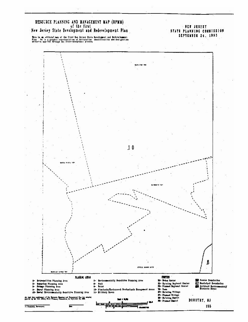
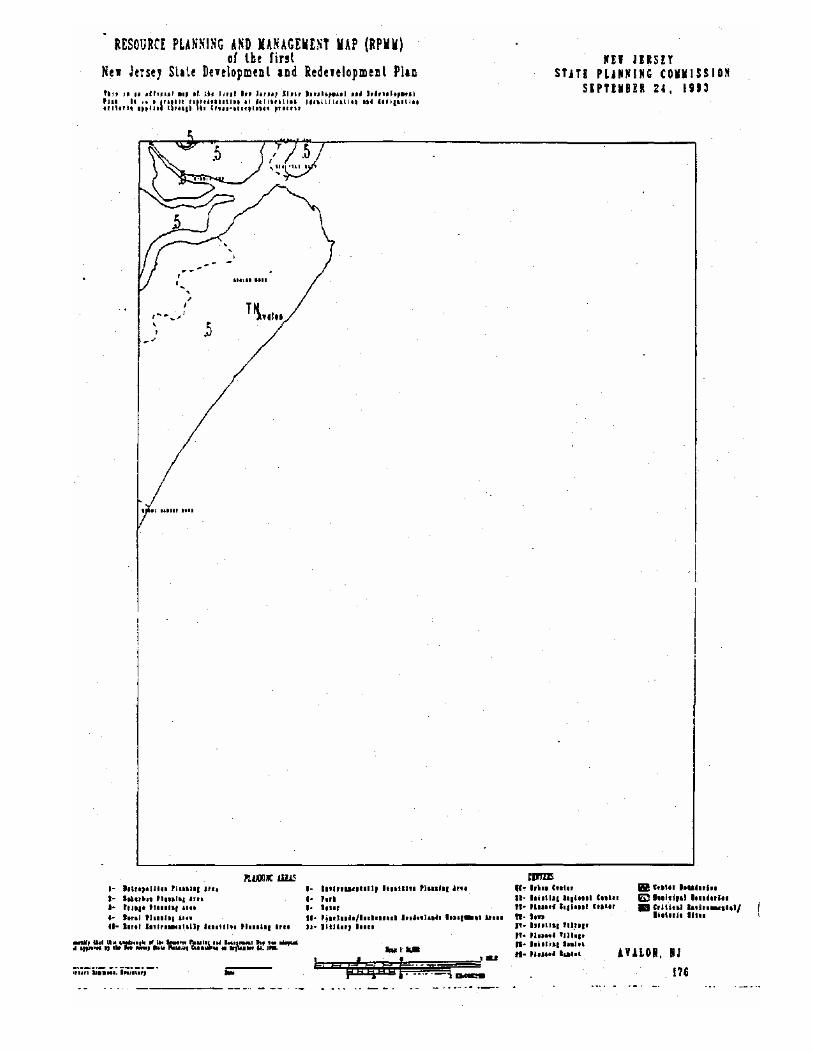
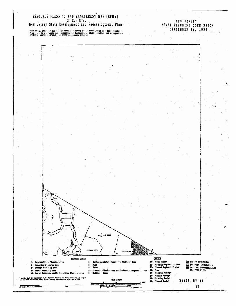
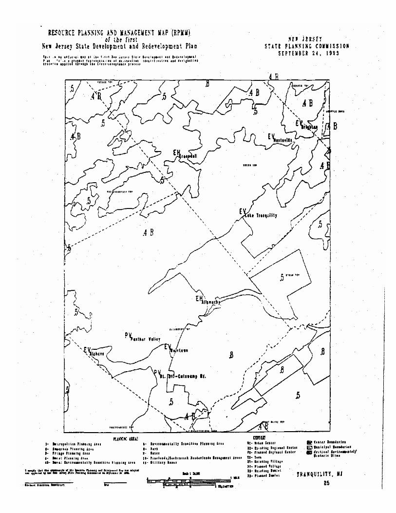
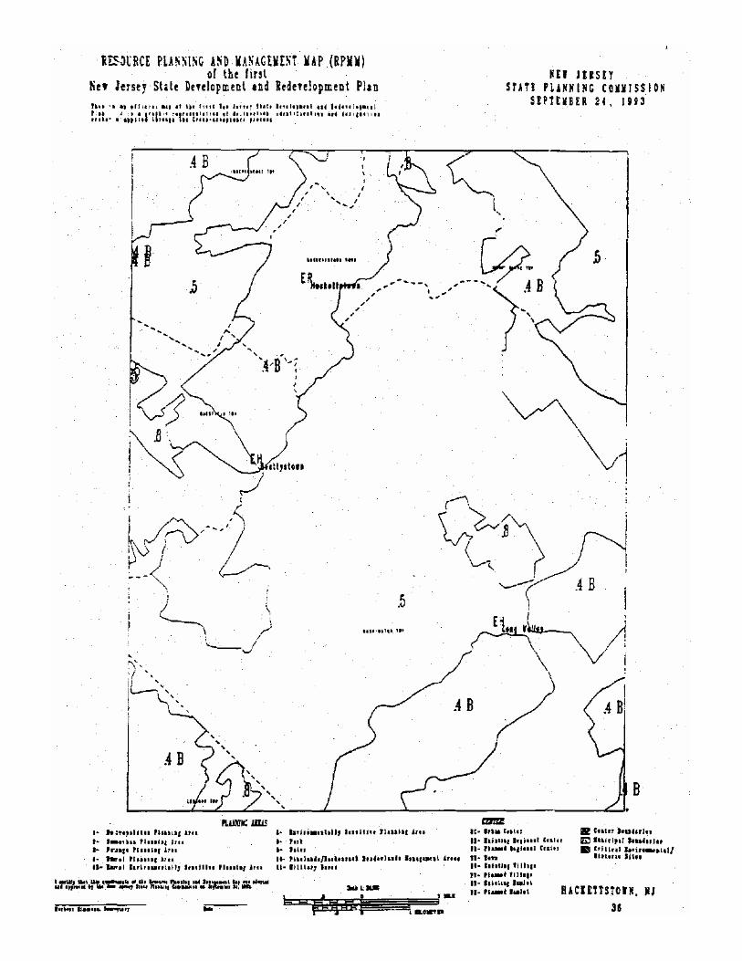
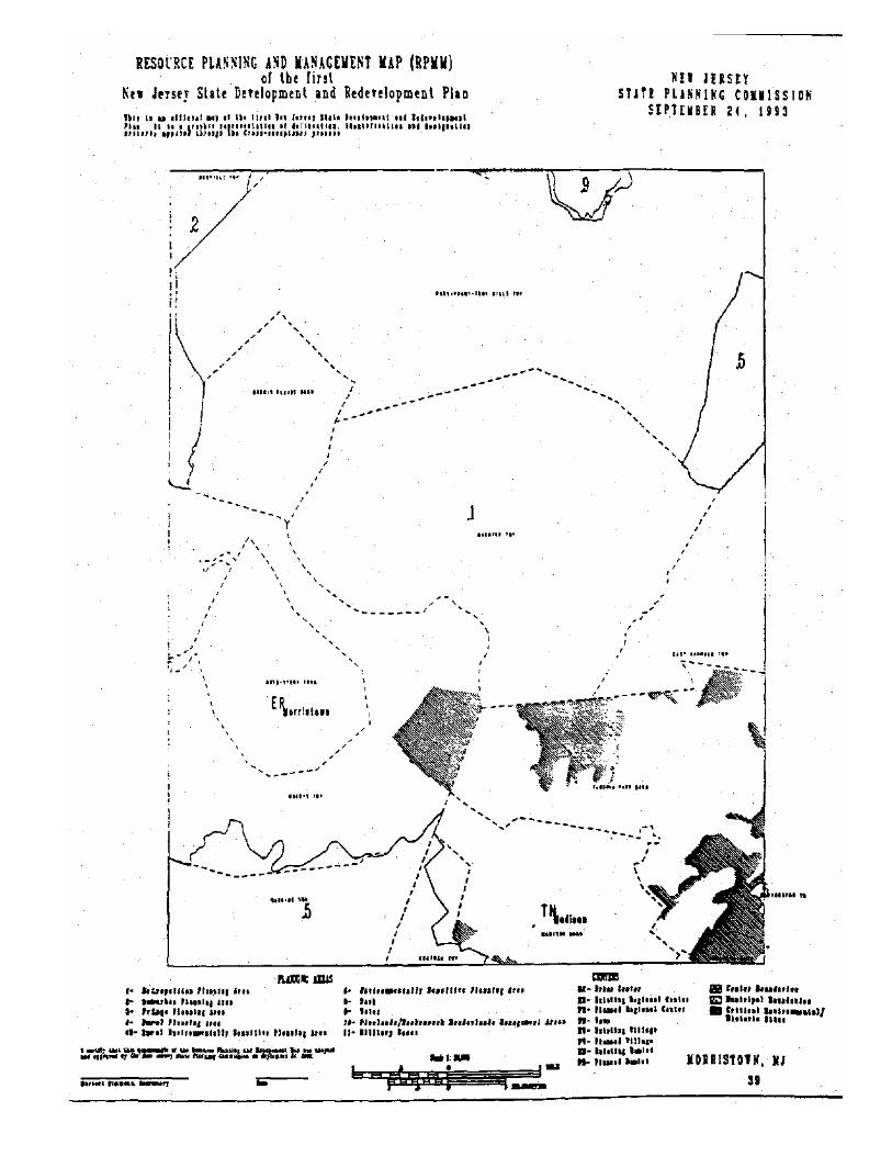
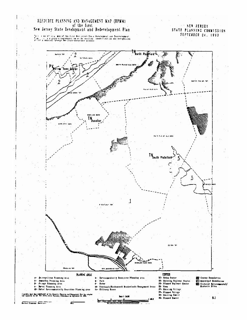
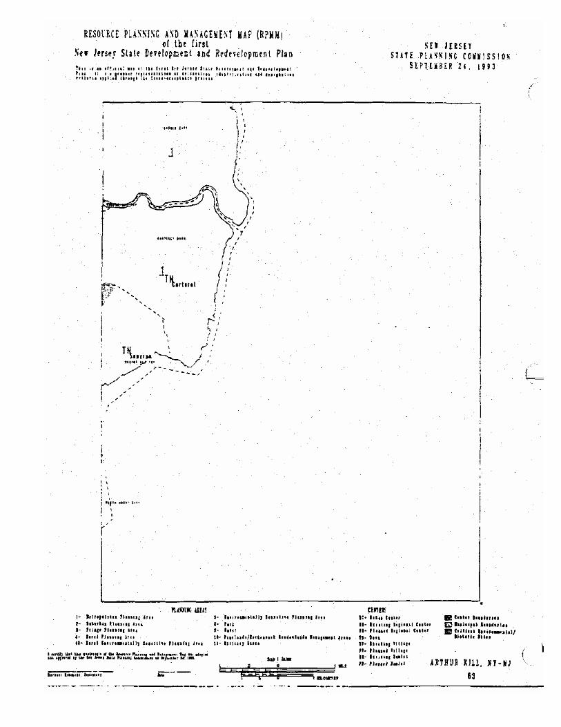
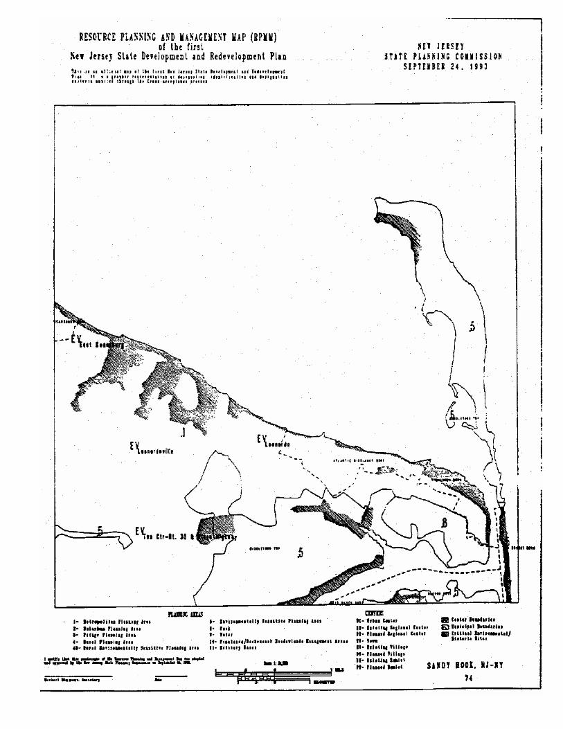
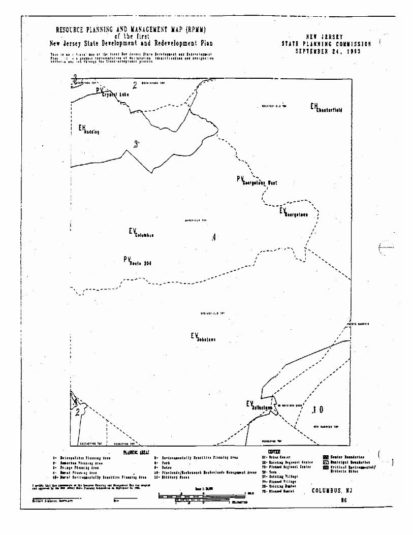
This document contains 8.5 x 11" reproductions of Planning Area delineations of the New Jersey State Development and Redevelopment Plan (SDRP) which are produced and released by the NJ Office of State Planning (OSP). The original quadrangle scale (1124,000) maps are on file and available from the Office of State Planning.
These maps are useful for evaluating the SDRP mapping in a general way. They are not useful for attempting to pin point exact locations, as no base maps exist offering landmark locations, and their scale is too small. It is recommended that the original 1:24,000 scale maps be used for that purpose.
The map is intended to represent areas where specific policy objectives apply. The map can not be used to determine the appropriateness of any particular land use for a site. The map should only be used in conjunction with the entire SDRP. Copies of the SDRP are available from OSP. Any questions relating to the plan or its delineations for the State should be directed to OSP.
The maps reflect the delineations as they appeared on October 29,1993, including approved amendments requested by Hunterdon and Cumberland counties. Any map amendments adopted since then are not reflected in these delineations. The delineations are scheduled for review and revision every three years.
Other map products available from OSP include U.S.G.S. Topoquad scale (1:24,000) versions of the maps contained in this document, and 1"= 4 mile color map of the plan measuring 28 x 43 inches and selected county RPMM maps (call for availability).


MAP PRODUCTS ORDER FORM OFFICE OF STATE PLANNING DEPARTMENT OF TREASURY, STATE OF NEW JERSEY
Name Title
Organization Street Address City . . . . Telephone
State Zip
The following map products are available:
•Statewide Planning Area & Center Map (color) 28x43 inches: $25 ea. ........
•Selected County Maps (color): $25 ea. Call for availability. ...............
•Atlas: 8.5x11" reproductions of at! 162 Planning Area quadrangle scale maps: Free
•Planning Area & Centers quadrangle scale (1 :24,000) maps (RPMM*s), (sepia vellum) 24x30". Full set = 162 maps. Check index map on reverse side for availability. Please list desired map by number using the space below: $10 ea.
Quadrangle Scale Maps:
Quant: Total $

ORDER TOTAL:
$
IMPORTANT INFORMATION •Checks must be payable to "STATE OF NEW JERSEY". •All orders must be prepaid. •Prices include postage & handling. •Allow two weeks for reproduction & delivery *Use this form for all orders. Photocopies permitted.
SEND ORDERS WITH PAYMENT TO: OFFICE OF STATE PLANNING NEW JERSEY DEPT. OF TREASURY 33 W. STATE STREET CN204 TRENTON, NJ 08625-204 609-292-7156


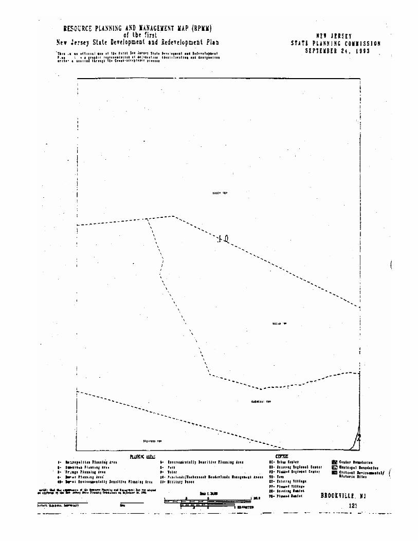
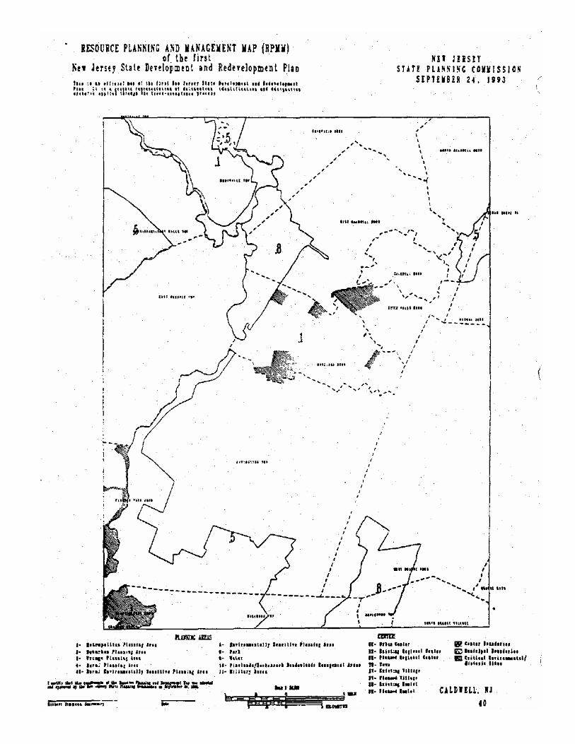
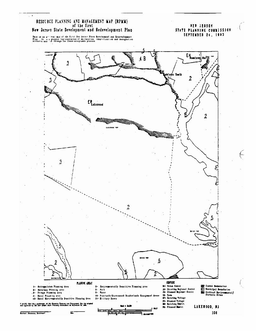
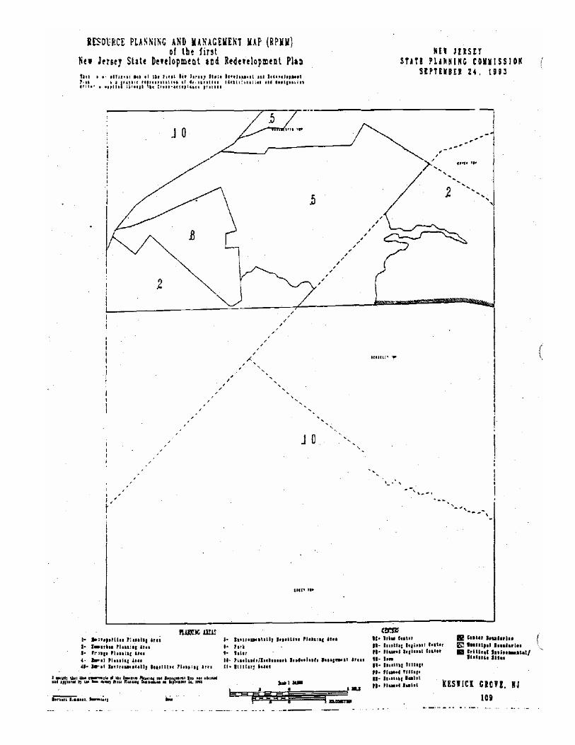
MAP REFERENCE NUMBERS & NAMES
1 MILFORD, PA-NJ 2 PORT JEKV1S SOUTH, NY-NJ-PA 3 UN1ONVILLE, NY-NJ 4 PINE ISLAND, NY-NJ 5 LAKE MASKENOZHA, PA-N] 6 CULVERS CAP, NJ-PA 7 BRANCHVILIE, NJ 8 HAMBURG, NJ 9 WAWAYANDA, NJ-NY 10 GREENWOOD LAKE, NY-NJ 11 SLOATSBURG, NY-NJ 12 BUSHWLL, PA-NJ 13 FLATBROOKVILLE, NJ-PA 14 NEWTON WEST, NJ 15 NEWTON EAST, NJ 16 FRANKLIN, NJ 17 NEWFOUNDLAND, NJ 18 WANAQUE,NJ 19 RAMSEY, NY-NJ 20 PARK RIDGE, NJ-NY 21 NYACK, NY-NJ 22 STROUDSBURC, PA-NJ 23 PORTLAND, NJ-PA 24 BLAIRSTOWN, NJ 25 TKANQU1UTY, NJ 26 STANHOPE, NJ 27 DOVER, NJ 28 BOONTON,NJ 29 POMFTON PLAINS, NJ 30 FATERSON.NJ 31 HACKENSACK, N} 32 YONKERS, NY-NJ 33 BANCOR. PA-NJ 34 BELV1DERE, NJ-PA 35 WASHINGTON, NJ 36 HACKETTSTOWN, NJ 37 CHESTER, NJ 3S MENDHAM.NJ 39 MORRJSTOWN, NJ 4C CALDWELL,NJ
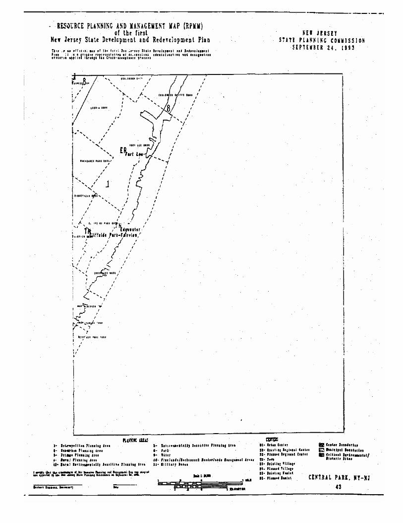
41 ORANGE, NJ 42 WEEHAWKEN, N]-NY 43 CENTRAL PARK, NY-NJ 44 EASTON, PA-NJ 45 BLOOMSBURXNJ 46 HIGH BRIDGE, NJ 47 CALIFON,NJ 4S GLADSTONE, NJ
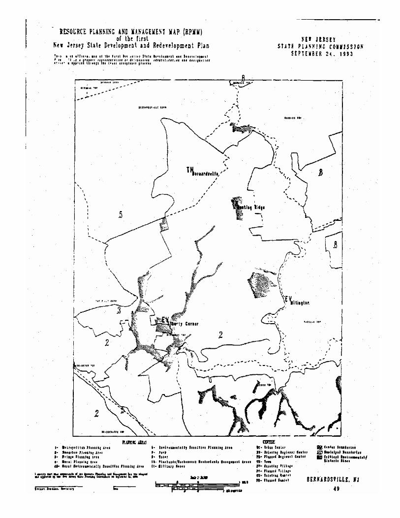
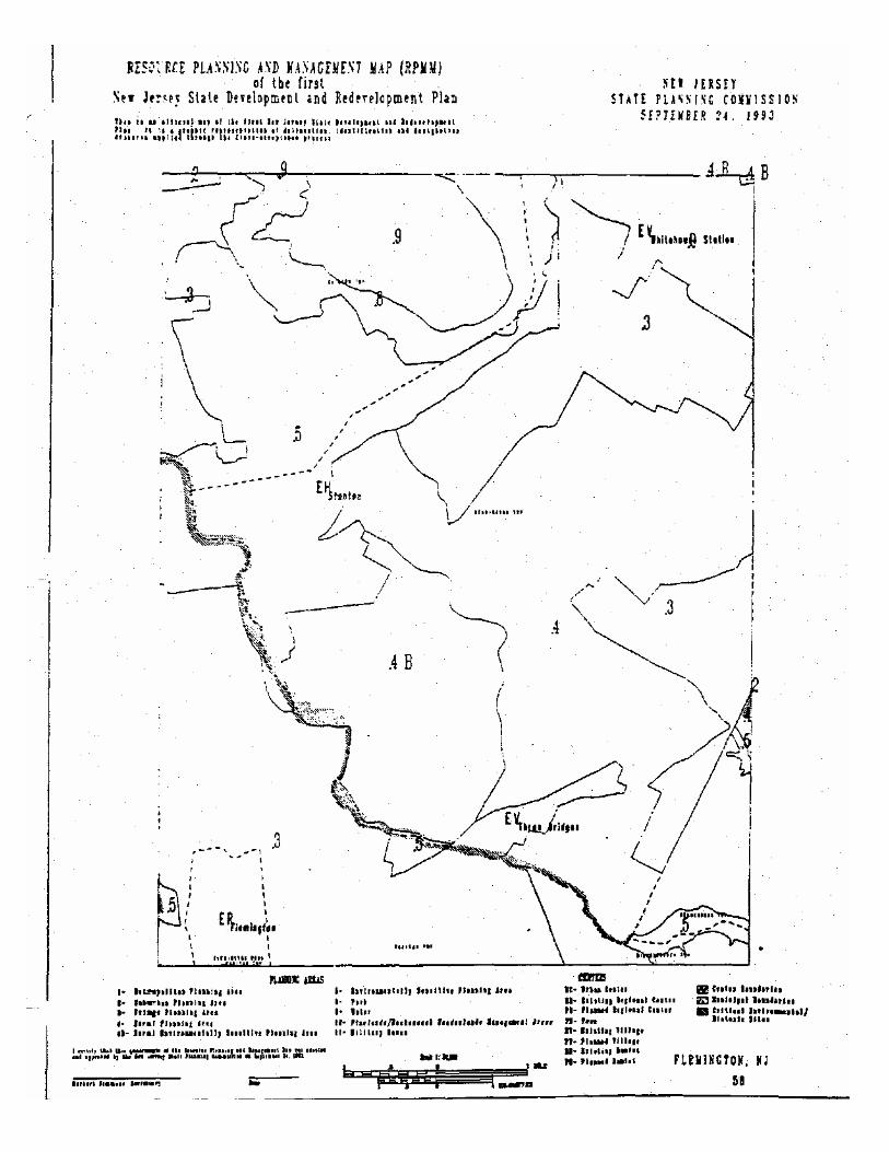
49 BERNARDSVILLE, NJ 50 CHATHAM, NJ 51 ROSELLE,NJ 52 ELIZABETH, NJ-NY 53 JERSEY CFTY, NJ-NY 54 BROOKLYN, NY-NJ 55 RIEGELSVILLE, PA-NJ 56 FRENCHTOWN, NJ 57 PnrSTOWN, NJ SB FLEMINGTON, NJ
59 RARITAN, NJ 60 BOUND BROOK. NJ 61 PLAINFIELD, NJ 62 PERTH AMBOY, NJ-NY 63 ARTHUR KILL, NY-NJ
66 LUMBERV1LLE, PA-NJ 67 STOCKTON, NJ-PA 68 HOPEWELL,NJ 69 ROCKY HILL, NJ 70 MONMOUTH JUNCTION, NJ 71 NEW BRUNSWICK, NJ 72 SOUTH AMBOY, NJ-NY 73 KEYPORT, NJ-NY 74 SANDY HOOK, NJ-NY 75 BUCKINGHAM, PA-NJ 76 LAMBERTVILLE, PA-NJ 77 PENN1NGTON,NJ 78 PRINCETON, NJ 79 HIGHTSTOWN, NJ 80 JAMESBURG,NJ 81 FREEHOLD, NJ 82 MARLBORO, NJ 83 LONG BRANCH, NJ
86 TRENTON WEST, PA-NJ 87 TRENTON EAST, NJ 88 ALLENTOWN, NJ 89 ROOSEVELT, NJ 90 ADELPHIA,N] 91 FARMINGDALE, NJ 92 ASBURYPARK.N] 93 FRANKFORD, PA-NJ 94 BEVERLY, NJ-PA 95 BRISTOL, PA-NJ 96 COLUMBUS, NJ 97 NEW EGYPT, NJ 98 CASSVILLE, N] 99 LAKEHURST,NJ IX LAKEWOOD, NJ
101 POINT PLEASANT, NJ 102 PHILADELPHIA, PA-NJ 103 CAMDEN, NJ-PA 104 MOORESTOWN, NJ 105 MOUNT HOLLY, NJ 106 PEMBERTON, NJ 107 BROWNS MILLS, NJ 108 WHITING, NJ 109 KESWICK GROVE, NJ 110 TOMS RIVER, NJ 111 SEASIDE PARK, NJ 112 MARCUS HOOK, PA-NJ-DE 113 BRIDGEPORT, NJ-PA 114 WOODBURY, NJ-PA 115RUNNEMEDE.NJ 116CLEMENTON,NJ
117 MEDFORD LAKES, NJ 118 INDIAN MILLS, NJ 119 CHATSWORTH, NJ 120WOODMANSIE,NJ
121 BROOKVILE, NJ 122 FORKED RIVER, NJ 123 BARNEGAT LIGHT, NJ 124 WILMINGTON SOUTH, DE-NJ 125 PENNS GROVE, NJ 126 WOODSTOWN, N] 127 PITMAN WEST, NJ 128 PITMAN EAST, NJ 129 WILLIAMSTOWN, NJ 130HAMMONTON.NJ 131AST10N,NJ
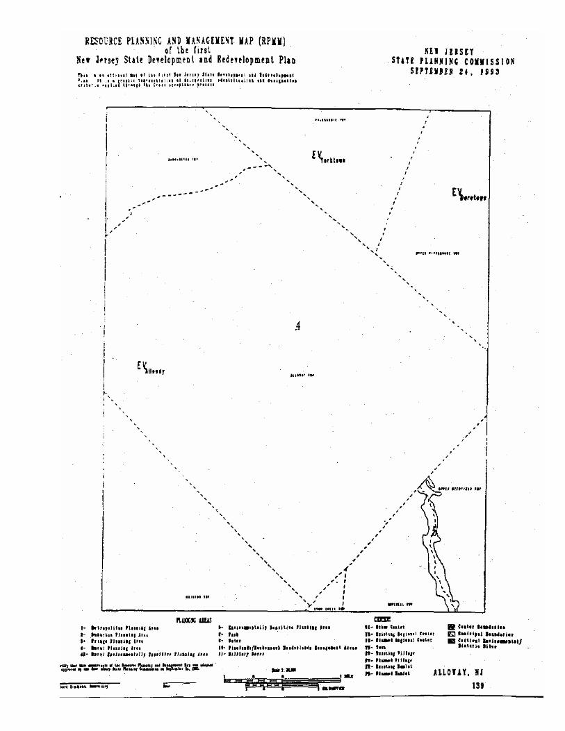
132 JENKINS, NJ 133 OSWEGO LAKE, NJ 134 WEST CREEK, NJ 135 SHIP BOTTOM, N] 136 LONG BEACH NE, NJ 137 DELAWARE CITY, DE-NJ 138 SALEM, NJ 139ALLOWAY.NJ 140 ELMER, NJ 141NEWF1ELD.NJ 142BUENA,NJ 143NEWTONVILLE,NJ
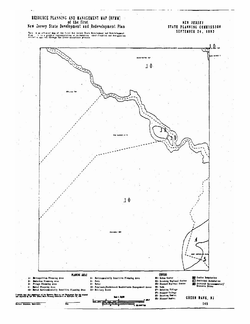
144 EGG HARBOR CITY, NJ 145 GREEN BANK,NJ 146NEWGRETNA,NJ 147TUCKERTON,NJ
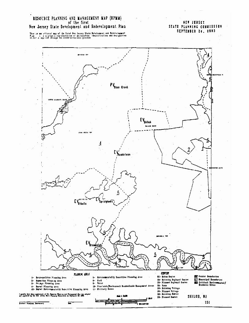
148 BEACH HAVEN, NJ 149 TAYLORS BRIDGE, DEL-NJ 150 CANTON, NJ-DE 151 SHILOH, NJ 152 BRIDGETOWN) 153 MILLVILLE, NJ 154 FIVE POINTS, NJ 155 DOROTHY, N] 156 MAYS LANDING, NJ 157PLEASANTVILLE,NJ 158OCEANVILLE,NJ
159 BRJCANTINE INLET, NJ 160 BOMBAY HOOK, DEL-NJ 161 BEN DAVIS POINT, NJ-DEL 162CEDARVILLE,NJ
163 DIVIDING CREEK, NJ 164 PORT ELIZABETH, NJ 165TUOCAHOE,NJ
166 MARMORA, NJ 167 OCEAN CITY, NJ 168 Atlantic CITY, NJ 169 PORTESQUE, NJ-DEL 170 PORT NORRIS,NJ 171 HEISLERVILLE, NJ 172 WOODBINE, NJ 173 SEA ISLE CrrY,NJ
174 RIO GRANDE, NJ .175 STONE HARBOR, NJ 176AVALON.NJ 177 CAPE MAY, NJ 178W1LDWOOD,NJ


LEGEND
CENTERS
UC» Urban Center
ER- Existing Regional Center
PR- Planned Regional Center
TN- Town
EV- ExistingVillage
PV- Planned Village
EH- Existing Hamlet
PH- Planned Hamlet
Center Boundaries
Municipal Boundaries
Critical Environmental/Historic Sites
PLANNING AREAS
1- Metropolitan Planning Area 2- Suburban Planning Area 3- Fringe Planning Area 4- Rural Planning Area 4B- Rural Environmentally Sensitive Planning Area
5- Environmentally Sensitive Planning Area
8- Park 9- Water 10- Pinelands/Hackensack Meadowlands Management Areas 11- Military Base


laflMltfcl* *** *!!****' ̂


1(1 Hi I f >••!«.


til Hi I l!«»«n- hmun


(tin fm»>ii


I tultrl (!»<*• »*'«