Embed Size (px)
Citation preview
Surveying for the Railroad
• Engineering Department
• Real Estate Department
• Valuation Maps
• Control
• Geometry
• It behooves you the ask as many question up front as you can.
Surveying for Engineering
• Cross Sections, 100’ Typically but 50’ in Curves Tighter than 6°
• Topo, All Existing Drainage Structures include Relative Condition and Trees
• At Grade Crossing, Highway and Rail
• Elevated Crossings, Lowest Support Member Above Top of Rail
• Wetlands, Cemeteries, Mining
Surveying for Real Estate
• Longevity is not defined as 50 years
• Acquisitions – Fee or Easements, Typically an ALTA Survey, Locate and Identify Any Visible Utilities
• Sales – Boundary Survey or ALTA Survey, Depends on Structure of Contract
• Lease/License: No Survey
REMEMBER!!!
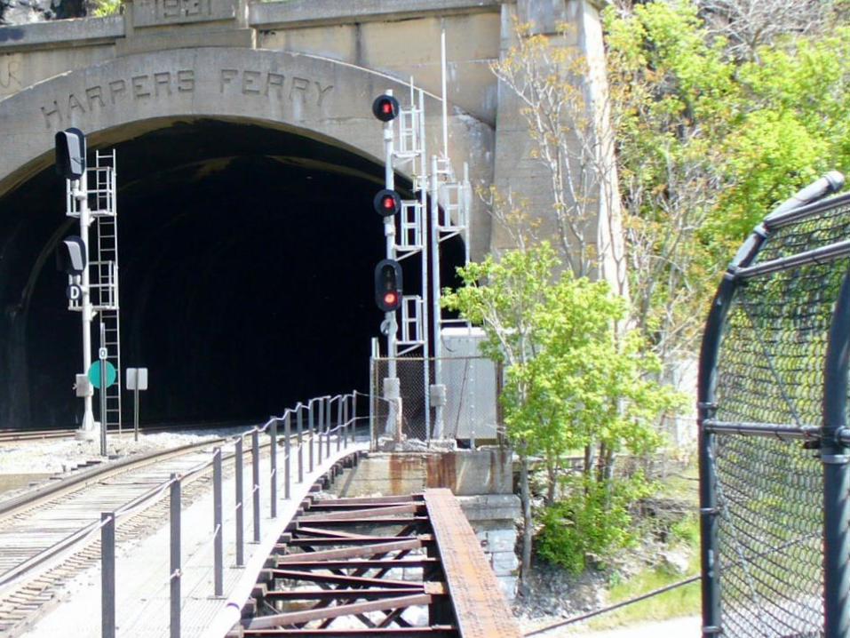
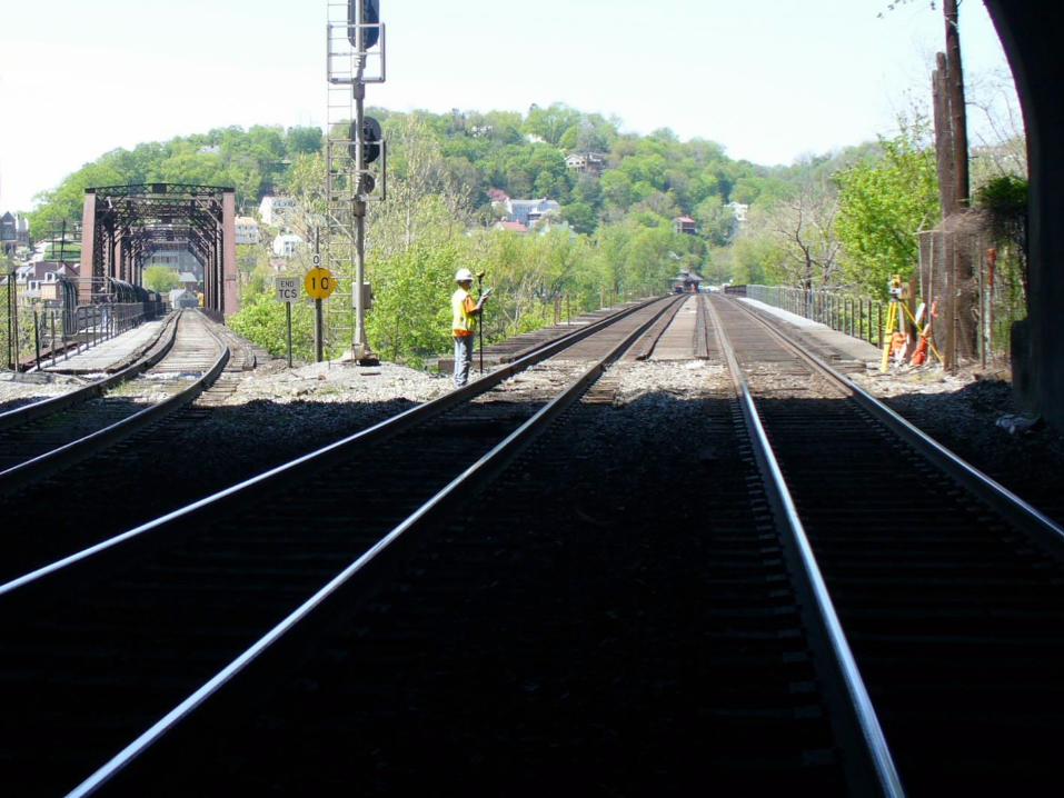
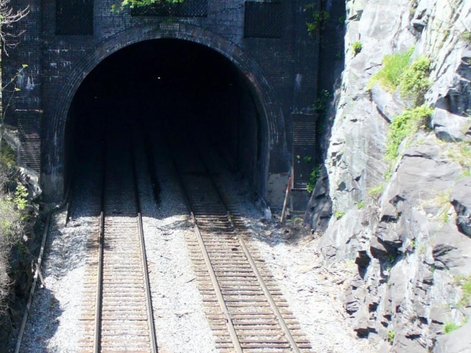
If Surveying Bridges or Tunnels
You MUST use Working Limits Safety Protection,
Keeping Trains Away from YOU.
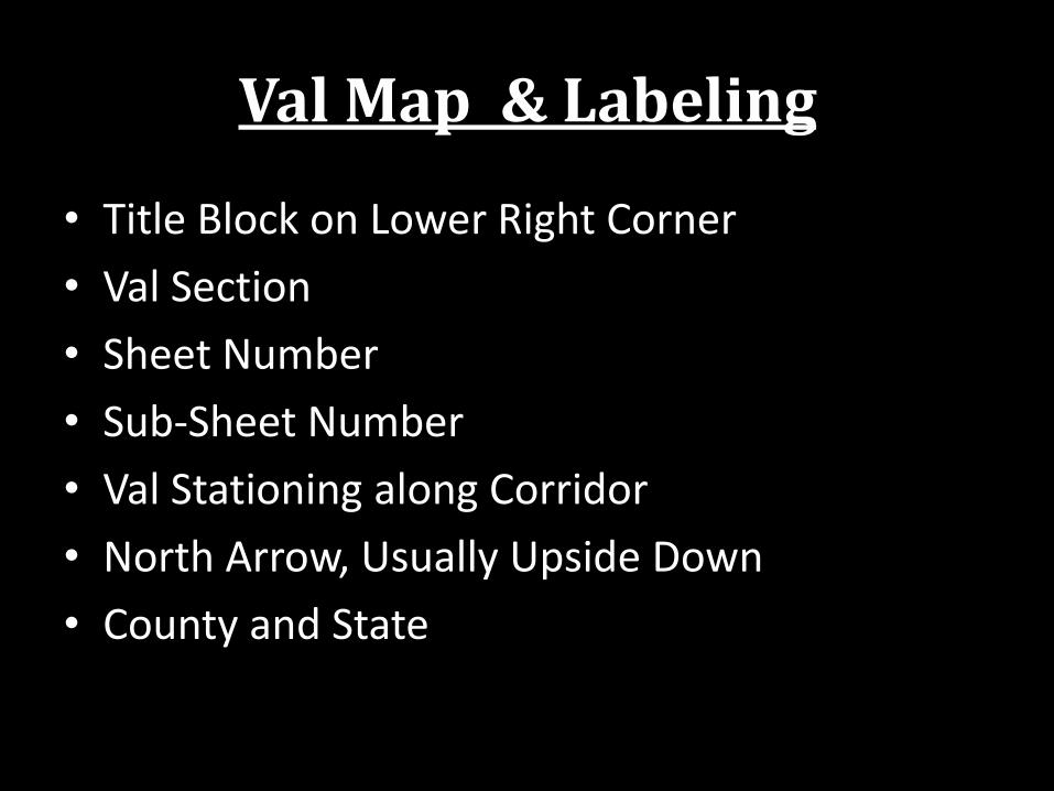
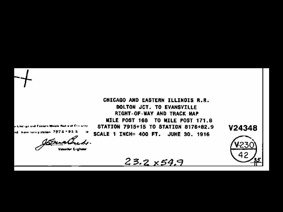
Val Map & Labeling
• Title Block on Lower Right Corner
• Val Section
• Sheet Number
• Sub-Sheet Number
• Val Stationing along Corridor
• North Arrow, Usually Upside Down
• County and State
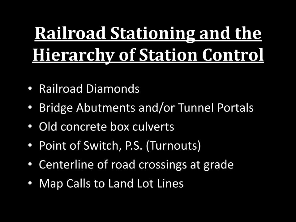
Railroad Stationing and the Hierarchy of Station Control
• Railroad Diamonds
• Bridge Abutments and/or Tunnel Portals
• Old concrete box culverts
• Point of Switch, P.S. (Turnouts)
• Centerline of road crossings at grade
• Map Calls to Land Lot Lines
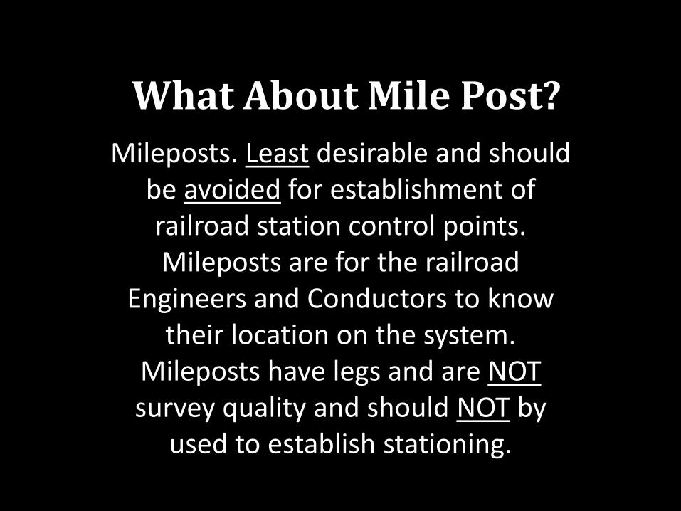
What About Mile Post?
Mileposts. Least desirable and should be avoided for establishment of railroad station control points. Mileposts are for the railroad
Engineers and Conductors to know their location on the system.
Mileposts have legs and are NOT survey quality and should NOT by
used to establish stationing.
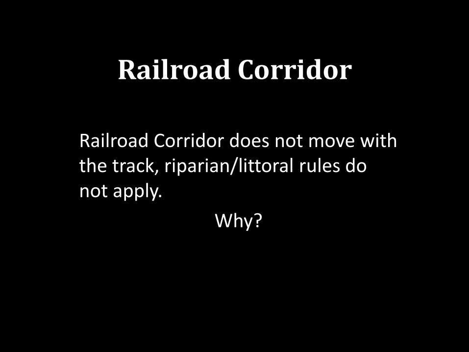
Railroad Corridor
Railroad Corridor does not move with the track, riparian/littoral rules do not apply.
Why?
Railroad Corridor
Double Track, typically on 13’, 14’ or 15’ centers
If in doubt, the Assessor’s Map is WRONG!
The center of track in mainline curve is usually NOT the center of the right-of-way. There is no such thing as parallel spirals.
Railroad Track Geometry
• Surveyor is defined as an expert measurer
• Modern track gauge is 4’ 8 ½” or 4.71 feet
• Mainline Track, 136 lb per 3 feet
• Industrial Spur Track, 85 lb to 115 lb per 3 feet
• Siding, does not need to match the Main Line in weight of rail, use “comp joints”
Railroad Track Geometry
• Tangent Track…….straight track, no horizontal curves, can have vertical curves
• Curved Track:
– Circular Curved Track
– Spiral Curved Track
• Superelevated Track
Circular Curves
“On a heavy-traffic high-speed railroad, every effort is made to have no curve sharper than 5° or 6°. On lines of light traffic and relatively low speeds, 20° or
sharper curves are used.” Surveying Theory and Practice, Fourth Edition, Raymond E. Davis & Francis S. Foote,
1953, McGraw-Hill Book Company, Inc., N.Y., page 672
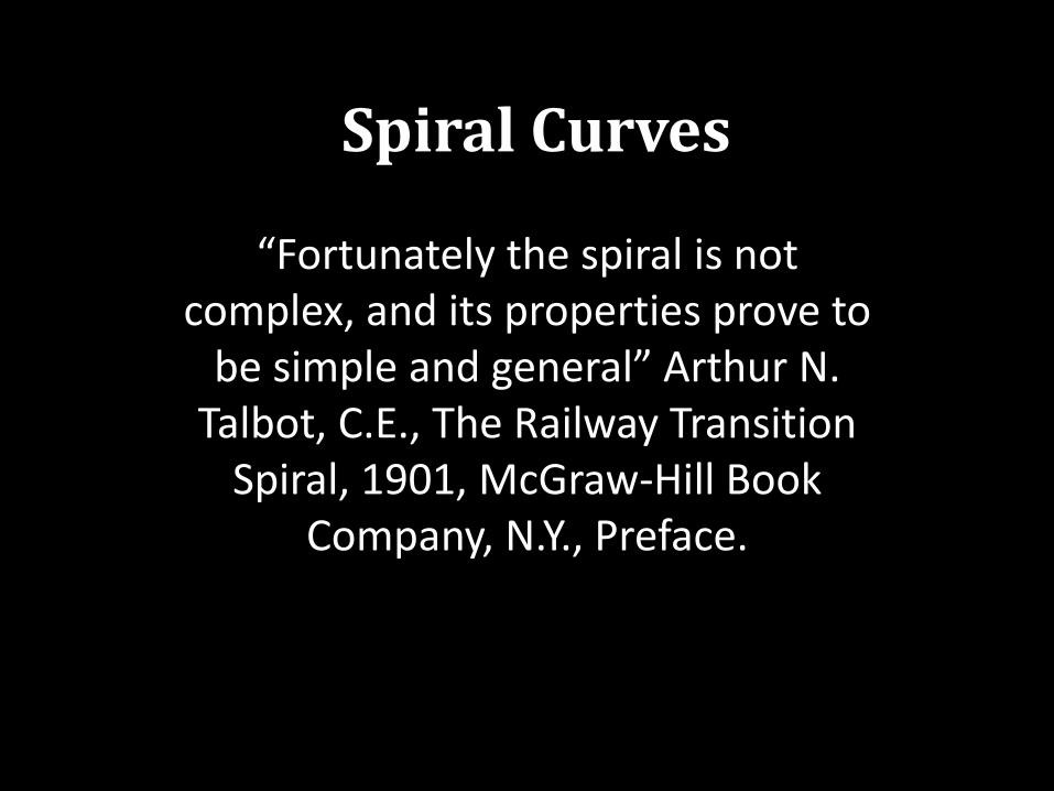
Spiral Curves
“Fortunately the spiral is not complex, and its properties prove to
be simple and general” Arthur N. Talbot, C.E., The Railway Transition
Spiral, 1901, McGraw-Hill Book Company, N.Y., Preface.
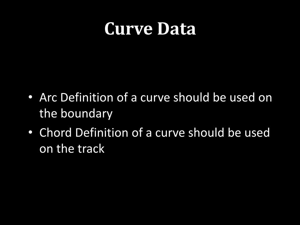
Curve Data
• Arc Definition of a curve should be used on the boundary
• Chord Definition of a curve should be used on the track
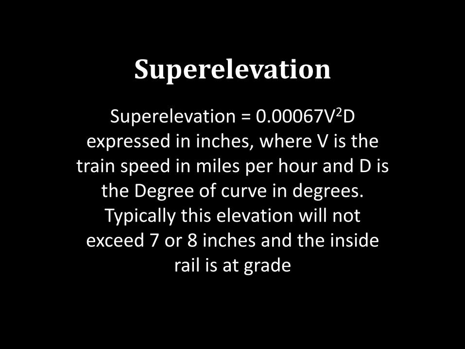
Superelevation
Superelevation = 0.00067V2D expressed in inches, where V is the
train speed in miles per hour and D is the Degree of curve in degrees. Typically this elevation will not
exceed 7 or 8 inches and the inside rail is at grade
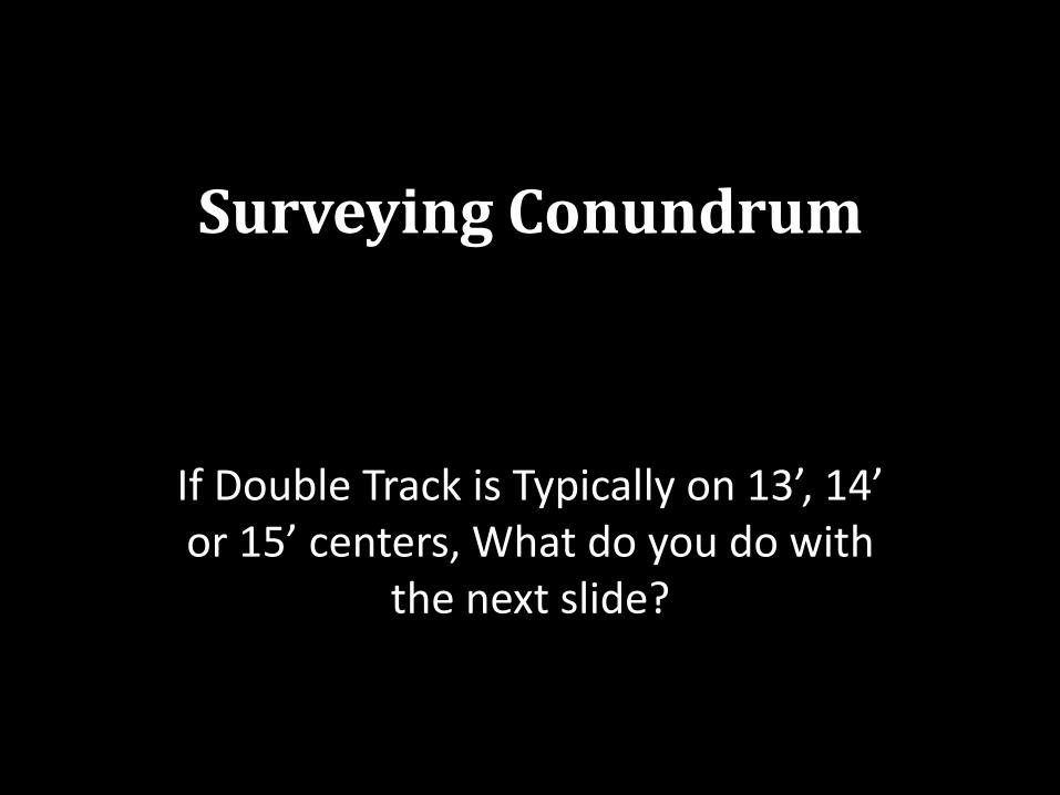
Surveying Conundrum
If Double Track is Typically on 13’, 14’ or 15’ centers, What do you do with
the next slide?
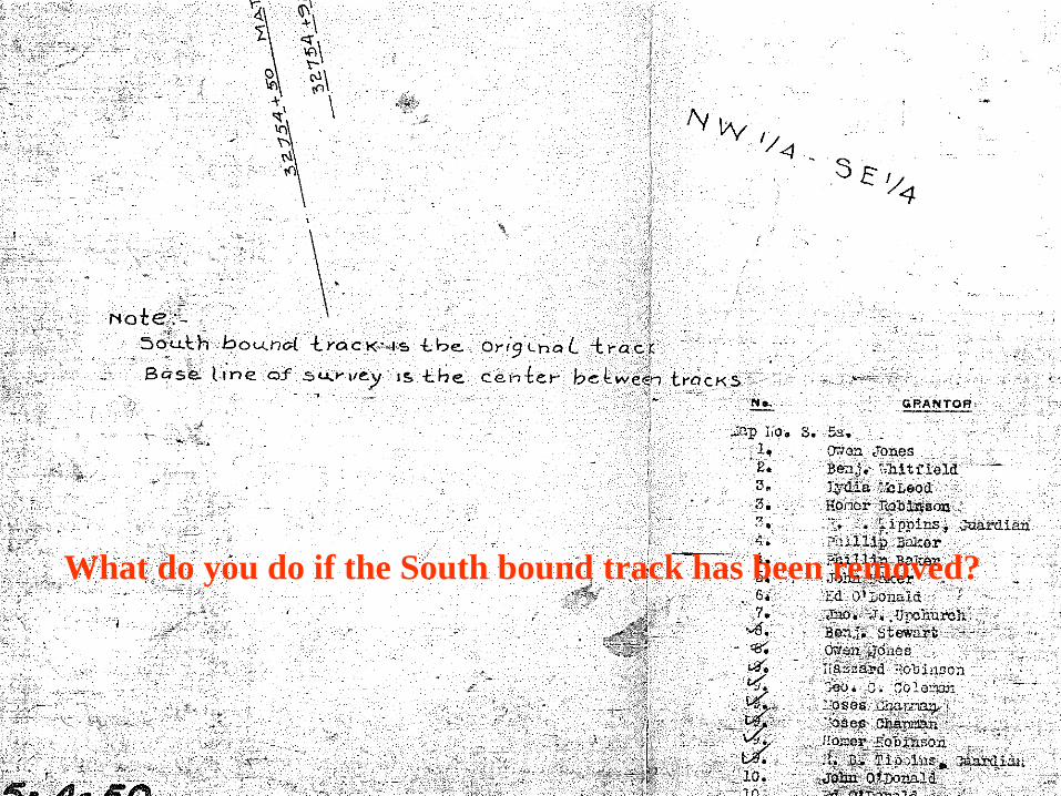
What do you do if the South bound track has been removed?