Embed Size (px)
Citation preview
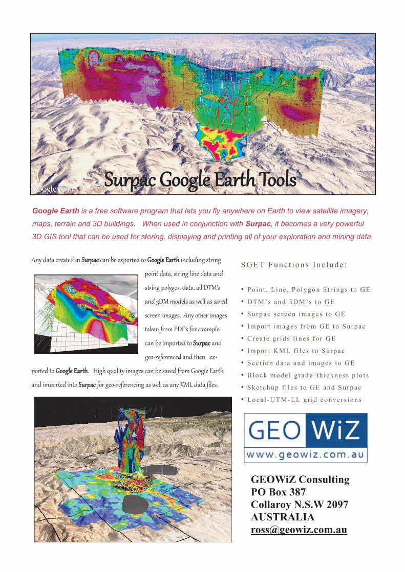
Any data created in Surpac can be exported to Google Earth including string
point data, string line data and
string polygon data, all DTM’s
and 3DM models as well as saved
screen images. Any other images
taken from PDF’s for example
can be imported to Surpac and
geo-referenced and then ex-
ported to Google Earth. High quality images can be saved from Google Earth
and imported into Surpac for geo-referencing as well as any KML data files.
Surpac Google Earth ToolsSurpac Google Earth ToolsSurpac Google Earth Tools Google Earth is a free software program that lets you fly anywhere on Earth to view satellite imagery,
maps, terrain and 3D buildings. When used in conjunction with Surpac, it becomes a very powerful
3D GIS tool that can be used for storing, displaying and printing all of your exploration and mining data.
SGE T Fun c t i on s In c lu d e :
• P o i n t , L i ne , P o l yg o n S t r i n g s to GE
• DT M ’s a nd 3 D M ’s to GE
• S urp ac s c r ee n i ma g e s to G E
• I mp o r t i ma g e s f ro m GE to S u rp ac
• Crea te g r id s l i ne s fo r GE
• I mp o r t K M L f i l e s to S urp a c
• S ec t io n d a t a a nd i ma ge s to GE
• B lo c k mo d e l g r ad e - t h i c k ne s s p lo t s
• S k e t c h up f i l e s to GE and S urp ac
• Lo c a l - UT M - LL gr id c o n ve r s io n s
GEOWiZ Consulting
PO Box 387
Collaroy N.S.W 2097
AUSTRALIA
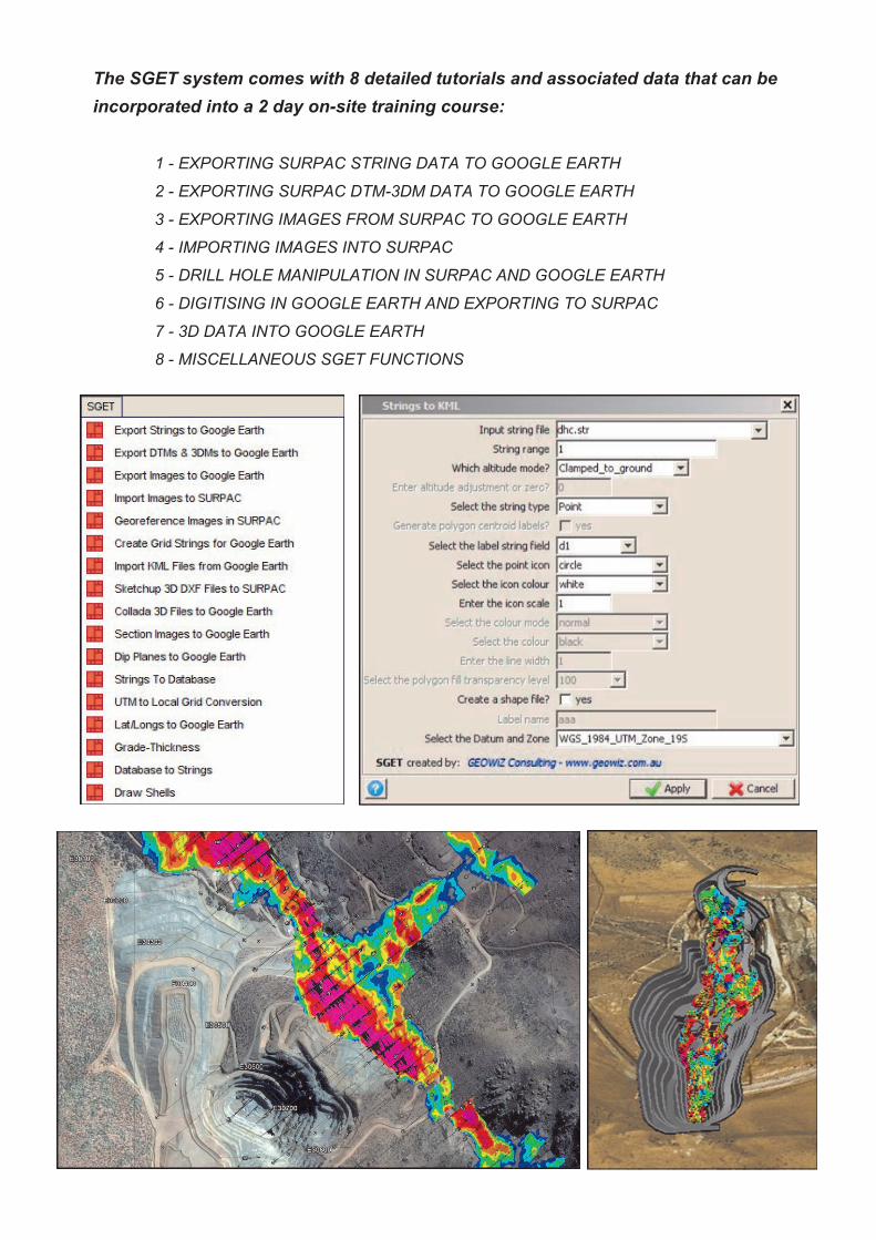
The SGET system comes with 8 detailed tutorials and associated data that can be
incorporated into a 2 day on-site training course:
1 - EXPORTING SURPAC STRING DATA TO GOOGLE EARTH
2 - EXPORTING SURPAC DTM-3DM DATA TO GOOGLE EARTH
3 - EXPORTING IMAGES FROM SURPAC TO GOOGLE EARTH
4 - IMPORTING IMAGES INTO SURPAC
5 - DRILL HOLE MANIPULATION IN SURPAC AND GOOGLE EARTH
6 - DIGITISING IN GOOGLE EARTH AND EXPORTING TO SURPAC
7 - 3D DATA INTO GOOGLE EARTH
8 - MISCELLANEOUS SGET FUNCTIONS