Embed Size (px)
Citation preview
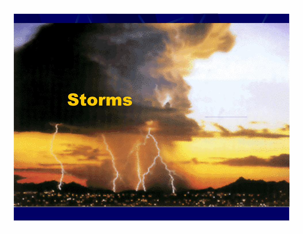
Storms
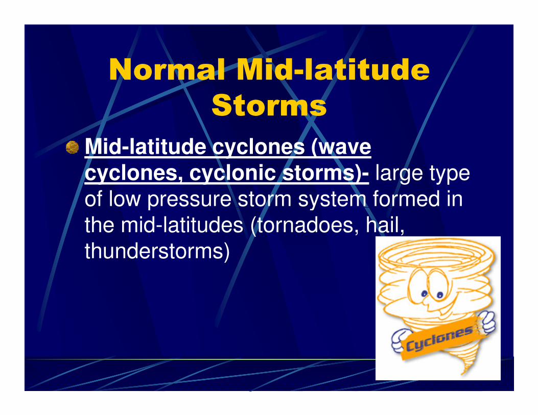
Normal Mid-latitude
Storms
Mid-latitude cyclones (wave cyclones, cyclonic storms)- large type of low pressure storm system formed in of low pressure storm system formed in the mid-latitudes (tornadoes, hail, thunderstorms)
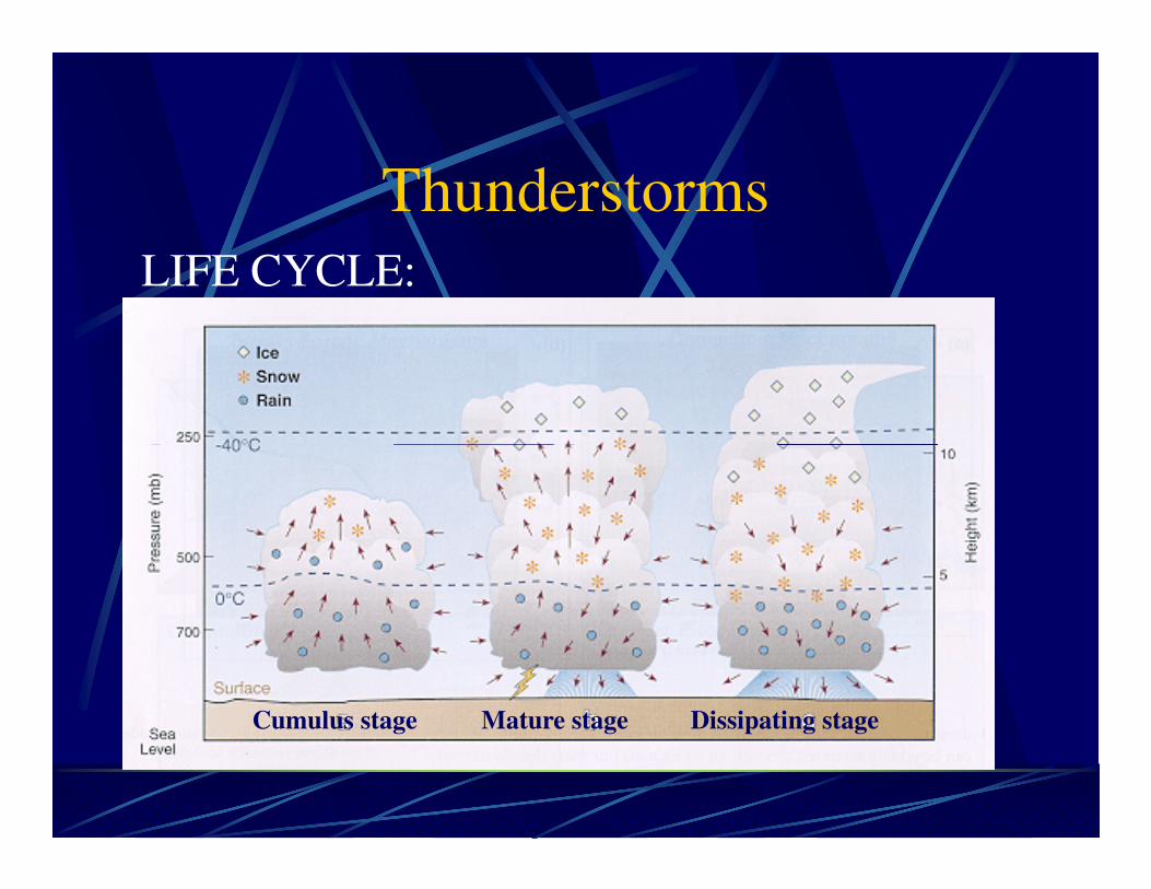
Thunderstorms
LIFE CYCLE:
Cumulus stage Mature stage Dissipating stage
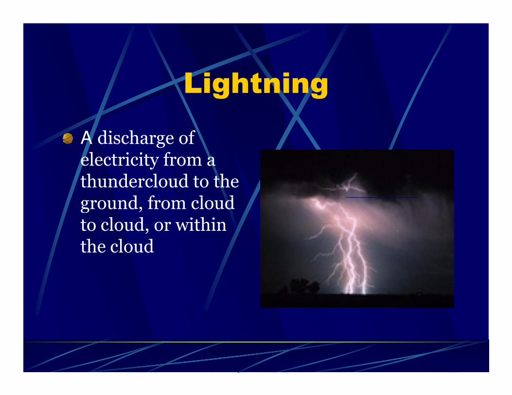
Lightning
A discharge of electricity from a thundercloud to the ground, from cloud ground, from cloud to cloud, or within the cloud
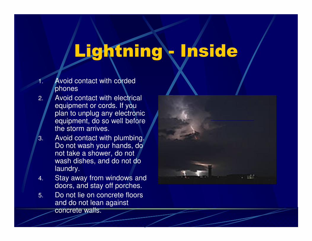
Lightning - Inside
1. Avoid contact with corded phones
2. Avoid contact with electrical equipment or cords. If you plan to unplug any electronic equipment, do so well before equipment, do so well before the storm arrives.
3. Avoid contact with plumbing. Do not wash your hands, do not take a shower, do not wash dishes, and do not do laundry.
4. Stay away from windows and doors, and stay off porches.
5. Do not lie on concrete floors and do not lean against concrete walls.
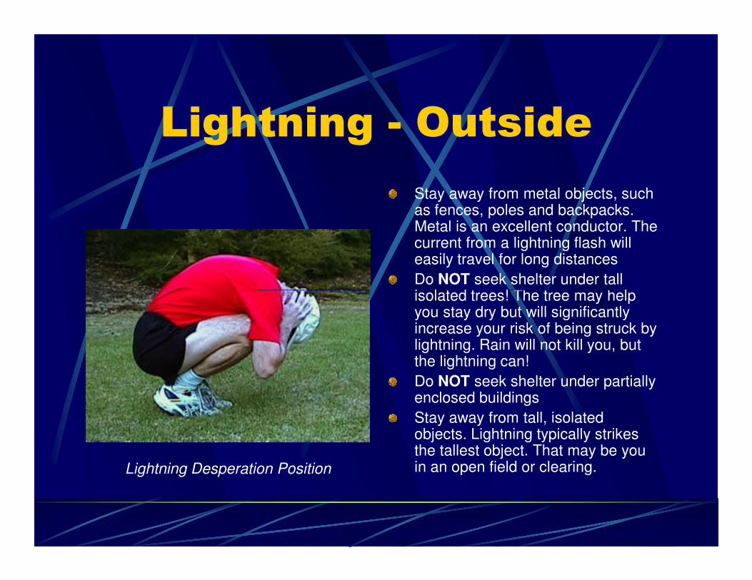
Lightning - Outside
Stay away from metal objects, such as fences, poles and backpacks. Metal is an excellent conductor. The current from a lightning flash will easily travel for long distances
Do NOT seek shelter under tall isolated trees! The tree may help isolated trees! The tree may help you stay dry but will significantly increase your risk of being struck by lightning. Rain will not kill you, but the lightning can!
Do NOT seek shelter under partially enclosed buildings
Stay away from tall, isolated objects. Lightning typically strikes the tallest object. That may be you in an open field or clearing. Lightning Desperation Position
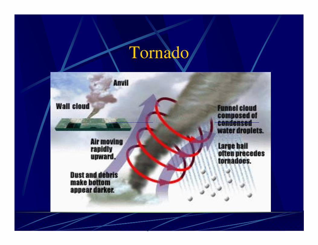
Tornado
Tornado
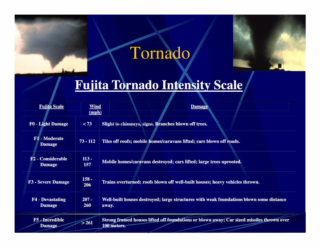
Fujita ScaleFujita Scale Wind Wind
(mph)(mph)
DamageDamage
F0F0 -- Light DamageLight Damage < 73< 73 Slight to chimneys, signs. Branches blown off trees.Slight to chimneys, signs. Branches blown off trees.
Fujita Tornado Intensity ScaleFujita Tornado Intensity Scale
F0F0 -- Light DamageLight Damage < 73< 73 Slight to chimneys, signs. Branches blown off trees.Slight to chimneys, signs. Branches blown off trees.
F1F1 -- Moderate Moderate
DamageDamage73 73 -- 112112 Tiles off roofs; mobile homes/caravans lifted; cars blown off roads.Tiles off roofs; mobile homes/caravans lifted; cars blown off roads.
F2F2 -- Considerable Considerable
DamageDamage
113 113 --
157157Mobile homes/caravans destroyed; cars lifted; large trees uprooted.Mobile homes/caravans destroyed; cars lifted; large trees uprooted.
F3 F3 -- Severe DamageSevere Damage158 158 --
206206Trains overturned; roofs blown off wellTrains overturned; roofs blown off well--built houses; heavy vehicles thrown.built houses; heavy vehicles thrown.
F4F4 -- Devastating Devastating
DamageDamage
207 207 --
260260
WellWell--built houses destroyed; large structures with weak foundations blown some distance built houses destroyed; large structures with weak foundations blown some distance
away.away.
F5F5 -- Incredible Incredible
DamageDamage> 261> 261
Strong framed houses lifted off foundations or blown away; Car sized missiles thrown over Strong framed houses lifted off foundations or blown away; Car sized missiles thrown over
100 meters.100 meters.
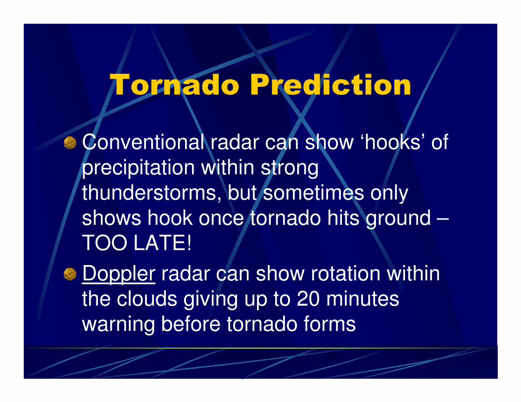
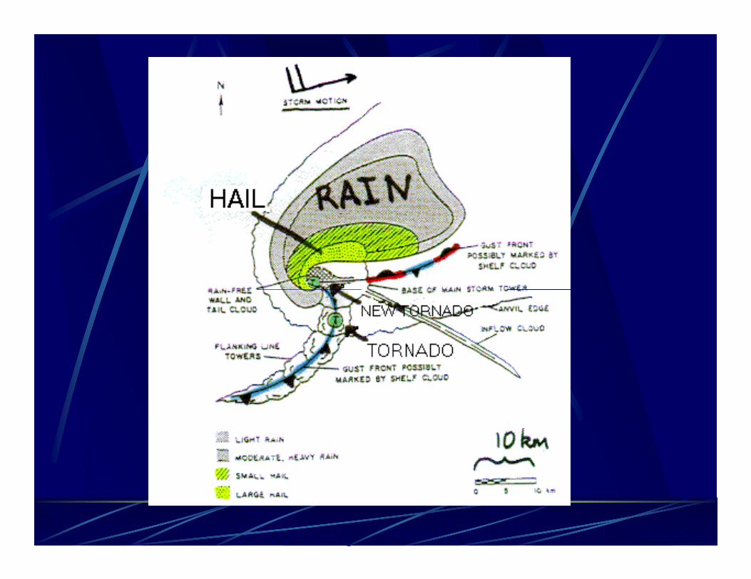
Tornado Prediction
Conventional radar can show ‘hooks’ of precipitation within strong thunderstorms, but sometimes only thunderstorms, but sometimes only shows hook once tornado hits ground –TOO LATE!
Doppler radar can show rotation within the clouds giving up to 20 minutes warning before tornado forms
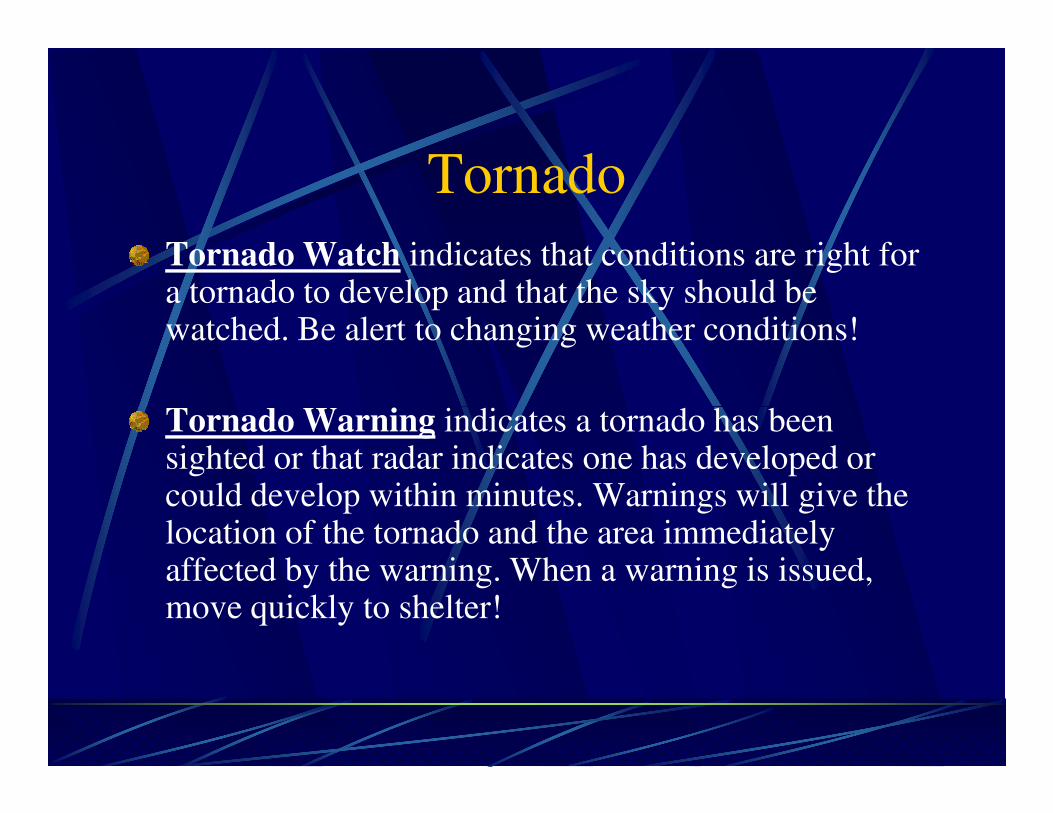
Tornado
Tornado Watch indicates that conditions are right for a tornado to develop and that the sky should be watched. Be alert to changing weather conditions!
Tornado Warning indicates a tornado has been Tornado Warning indicates a tornado has been sighted or that radar indicates one has developed or could develop within minutes. Warnings will give the location of the tornado and the area immediately affected by the warning. When a warning is issued, move quickly to shelter!
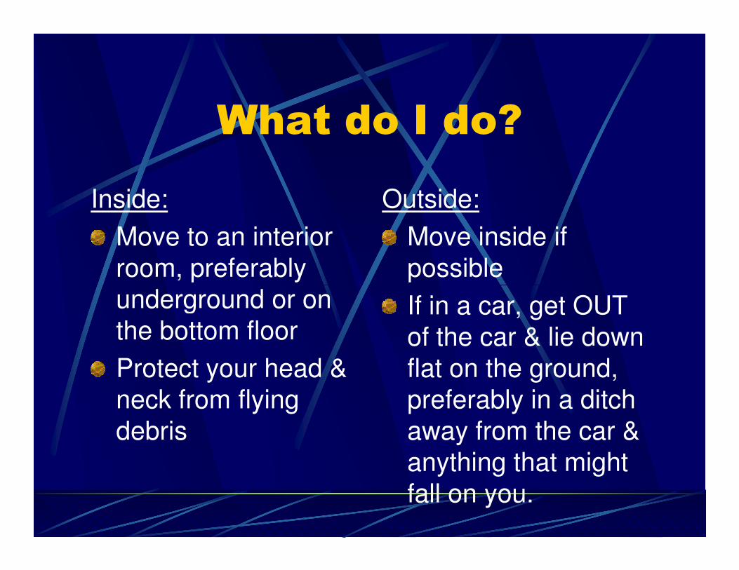
What do I do?
Inside:
Move to an interior
room, preferably
underground or on
Outside:
Move inside if
possible
underground or on
the bottom floor
Protect your head &
neck from flying
debris
If in a car, get OUT
of the car & lie down
flat on the ground,
preferably in a ditch
away from the car &
anything that might
fall on you.
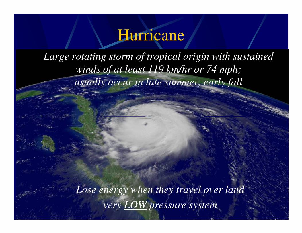
Hurricane
Large rotating storm of tropical origin with sustained
winds of at least 119 km/hr or 74 mph;
usually occur in late summer, early fall
Lose energy when they travel over land
very LOWLOW pressure system
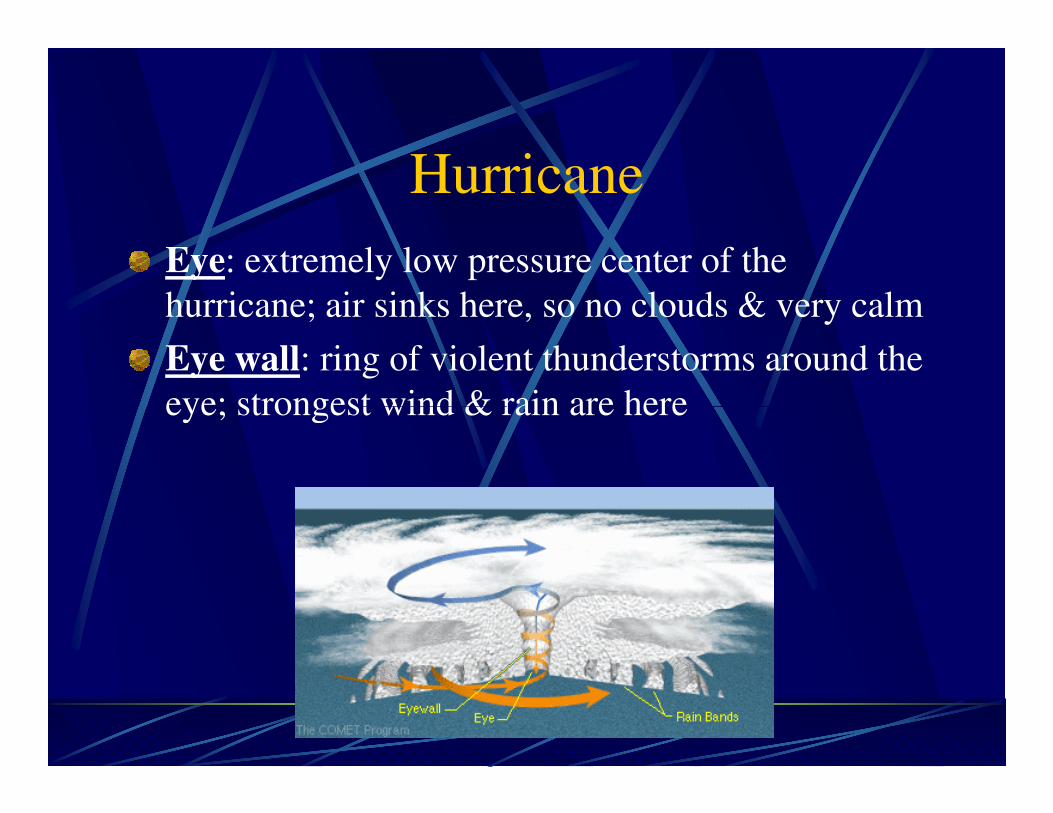
Hurricane
Eye: extremely low pressure center of the
hurricane; air sinks here, so no clouds & very calm
Eye wall: ring of violent thunderstorms around the
eye; strongest wind & rain are hereeye; strongest wind & rain are here
Hurricane
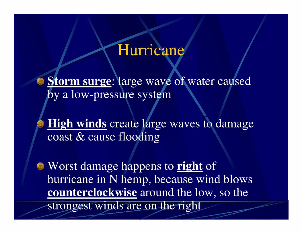
Storm surge: large wave of water caused by a low-pressure system
High winds create large waves to damage High winds create large waves to damage coast & cause flooding
Worst damage happens to right of hurricane in N hemp, because wind blows counterclockwise around the low, so the strongest winds are on the right
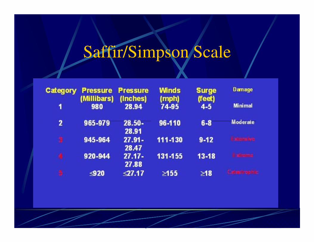
Saffir/Simpson Scale
What do I do?
If there is an evacuation order, EVACUATE
IMMEDIATELY!
Cover windows with plywood to protect
them from flying debristhem from flying debris
Secure all outside furniture
Danger is in high winds & flooding
Beware of the calm at the eye. The storm
isn’t over yet!
Blizzard
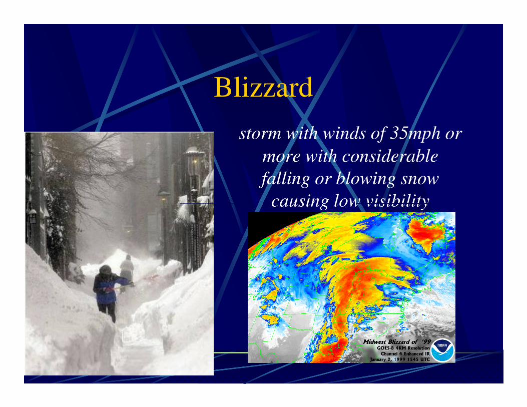
storm with winds of 35mph or
more with considerable
falling or blowing snow
causing low visibilitycausing low visibility
What do I do?
If a blizzard is predicted, purchase supplies
ahead of time to last at least a week.
Once the storm starts, STAY INSIDE! You
can survive without food & melt snow for can survive without food & melt snow for
water. You cannot survive without shelter.
Don’t go outside for any reason. Visibility is
often so low you’ll get lost between your front
door & the car.
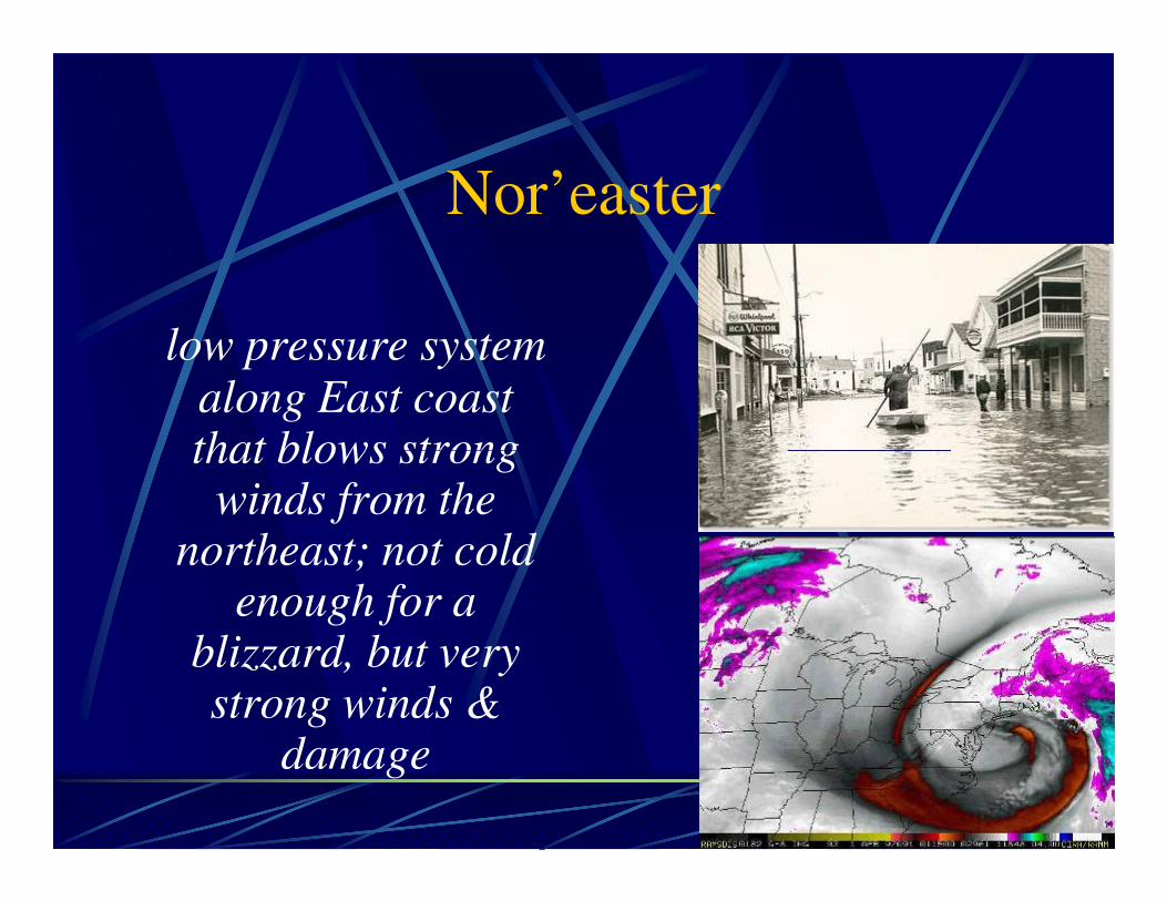
Nor’easter
low pressure system along East coast that blows strong that blows strong
winds from the northeast; not cold
enough for a blizzard, but very strong winds &
damage
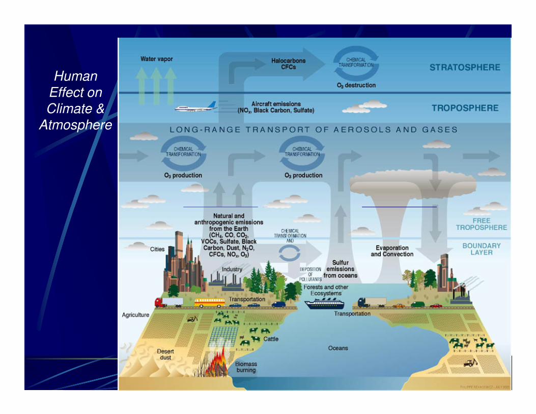
Human Effect on Climate &
Atmosphere
Climate & Human Activities
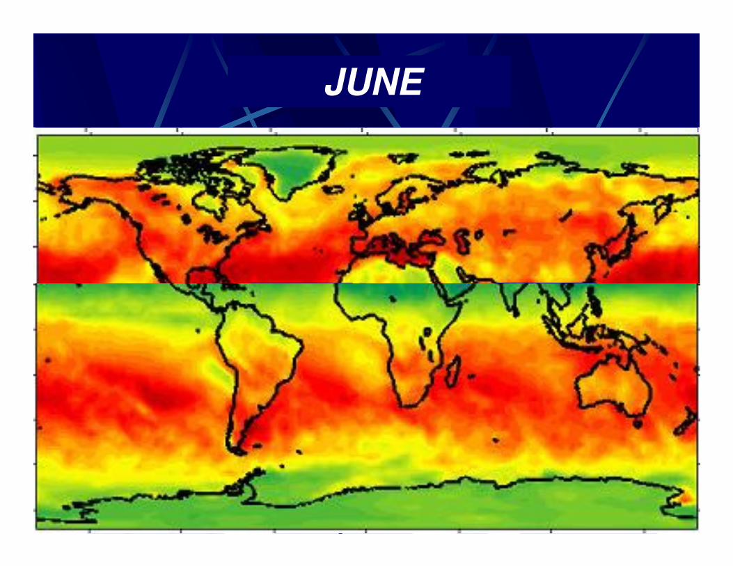
DECEMBERMARCHJUNE

ERROR: stackunderflow
OFFENDING COMMAND: ~
STACK: