Embed Size (px)
Citation preview

Spatial Data and Technology in Land Administration
Property Rights and Resource Governance Issues and Best Practices
Washington DC, October 2011
Presenter: Peter Rabley
Contents
• What is spatial data?• GIS/LIS/GPS/Remote Sensing• Approaches• Issues and Concerns• Points to Take Away
2
“Nothing endures but change”
3
4
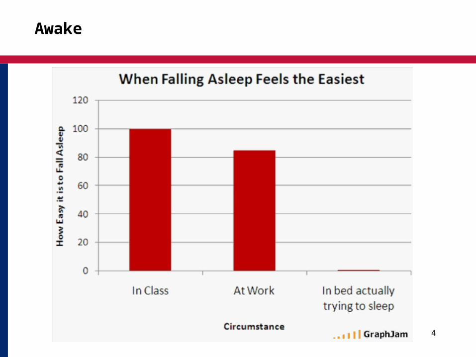
Awake

5

What is Spatial Data?
• “the data or information that identifies the geographic location of features and boundaries on Earth”
• Spatial Reference System• Maps• Imagery• Geography• Scale • Time• Twitter
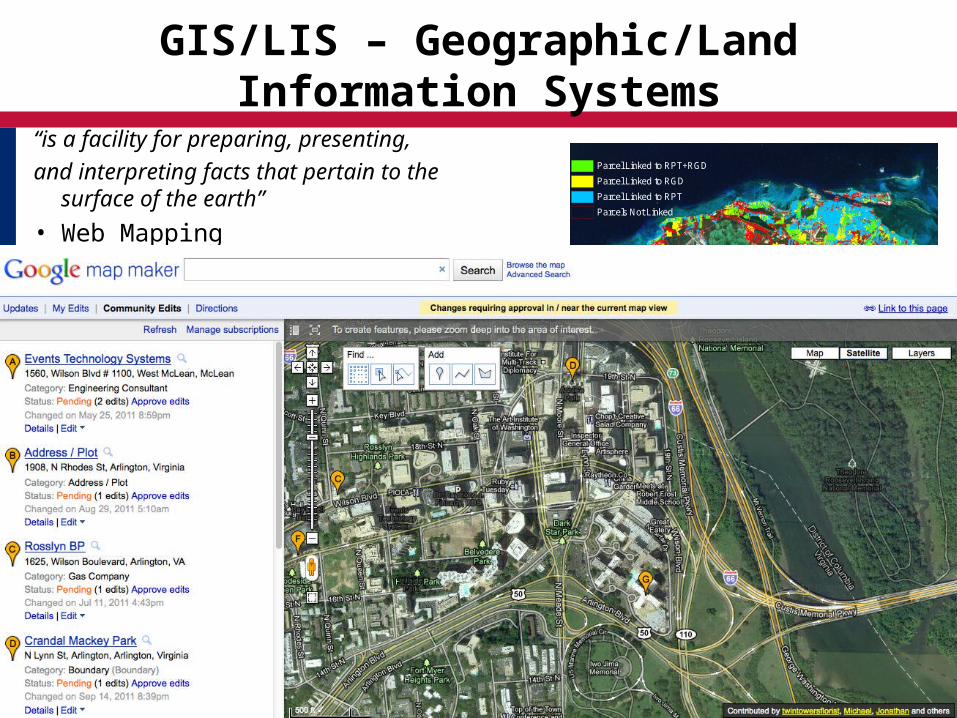
GIS/LIS – Geographic/Land Information Systems
“is a facility for preparing, presenting,
and interpreting facts that pertain to the surface of the earth”
• Web Mapping• Google Earth/Open Street Maps• INSPIRE/SDI• Crowd Sourcing
Parcel Linked to RPT+RGD
Parcel Linked to RGD
Parcel Linked to RPT
Parcels Not Linked
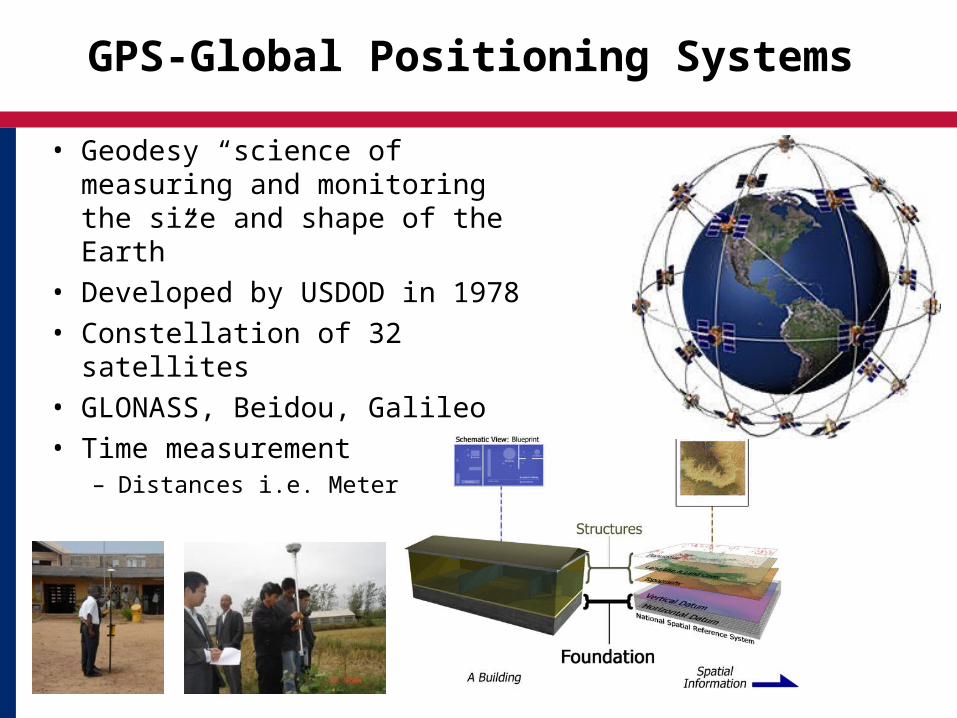
GPS-Global Positioning Systems
• Geodesy “science of measuring and monitoring the size and shape of the Earth”
• Developed by USDOD in 1978• Constellation of 32 satellites• GLONASS, Beidou, Galileo• Time measurement
– Distances i.e. Meter
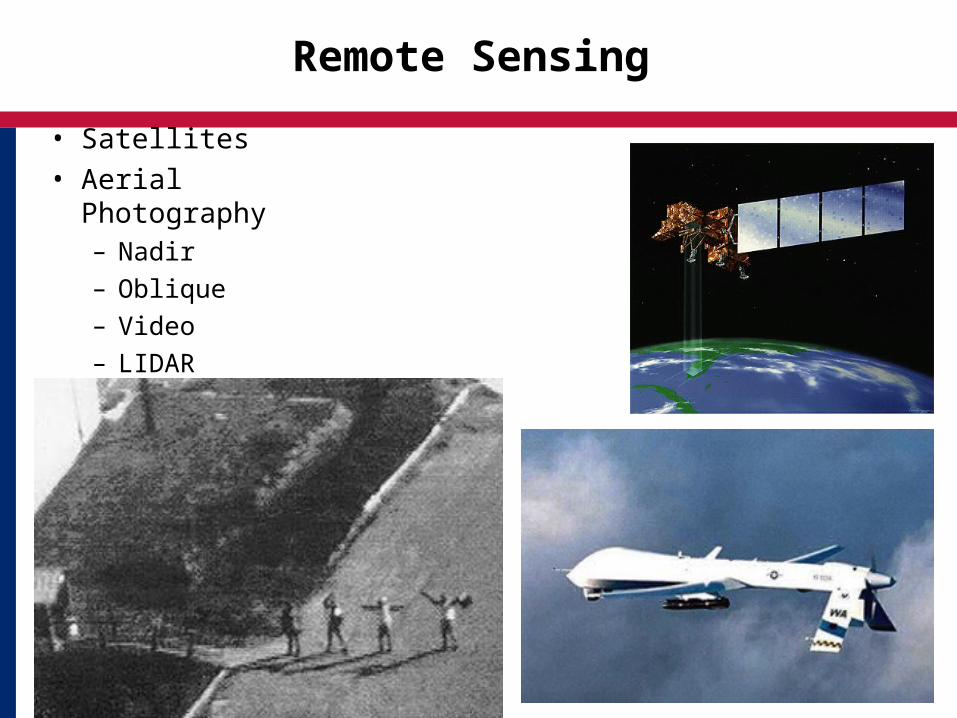
Remote Sensing
• Satellites• Aerial Photography
– Nadir
– Oblique
– Video
– LIDAR
Remote Sensing
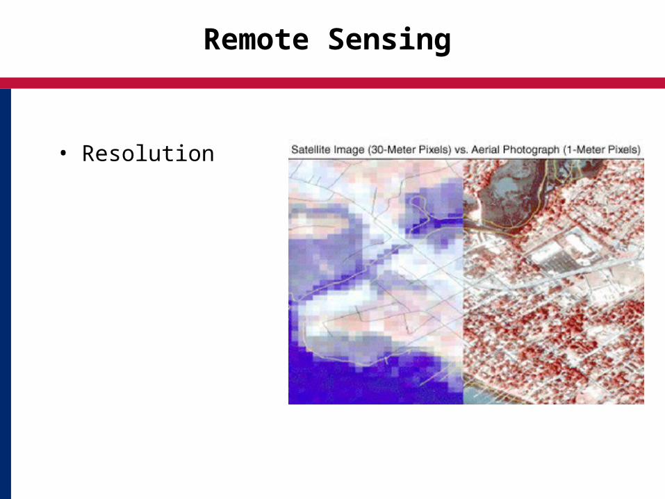
• Resolution
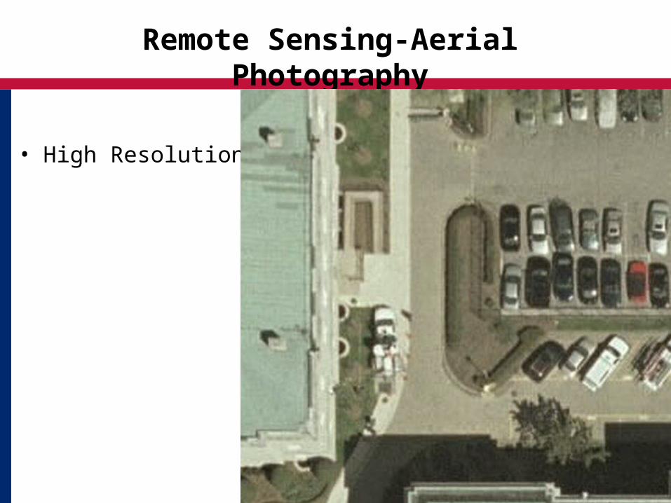
Remote Sensing-Aerial Photography
• High Resolution
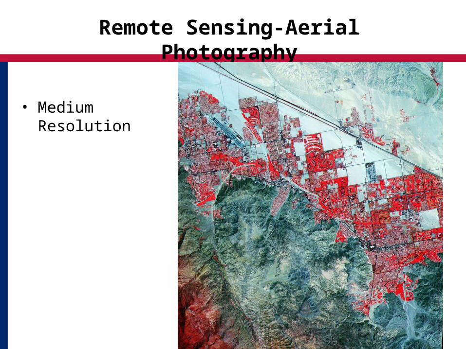
Remote Sensing-Aerial Photography
• Medium Resolution

Remote Sensing-Aerial Photography
• Low Resolution

Remote Sensing
• Analysis
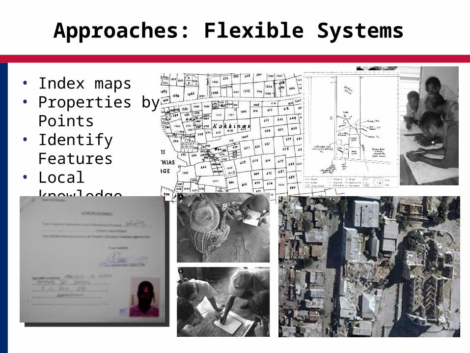
Approaches: Flexible Systems
• Index maps • Properties by
Points• Identify Features• Local knowledge• Evidence

Approaches: Appropriate Technology
• Cell Phones• Solar Power• Wifi/Cell networks • GPS• High Resolution
Satellite Imagery• Digital Still/Video
Cameras• Commercial off the
Shelf Software/Open Source
• Web systems and data

Points to Take Away
• Spatial data is key to property rights but also to many other development needs
• Collect once – use many times• Use various modes of spatial
data tools and gathering approaches
17
• Blending scales and accuracies is acceptable in data poor environments
• Spatial data has considerable value but must be maintained
• Maintenance requires good governance• Emerging economies must look to partnerships with
private sector to develop and sustain spatial data
![Session 2 Governance, Leadership, and Workforce CLAS Training [ADD DATE] [ADD PRESENTER NAME] [ADD LOCATION NAME]](https://img.pdfslide.us/doc/110x75/5697c0231a28abf838cd407c/session-2-governance-leadership-and-workforce-clas-training-add-date-add.jpg)


![Introduction to Corporate Governance Presenter: Chabuka J. Kawesha [Dr]](https://img.pdfslide.us/doc/110x75/56816291550346895dd2fe8d/introduction-to-corporate-governance-presenter-chabuka-j-kawesha-dr.jpg)