Embed Size (px)
Citation preview
2016© Eurobodalla Shire Council. Whilst every endeavour has been made to ensure the accuracy
of the information in this publication, Eurobodalla Shire Council, their employees, contractors and agents cannot be held responsible for any consequence
resulting from the use of the information or errors contained herein. All images are copyright of their
respective owners and may not be used in any form without the appropriate permissions. Edition: 2/16
Eurobodalla Tourism is a unit of Eurobodalla Shire Council
For more ideas on holidaying in Eurobodalla or to book your
accommodation and tours
FREECALL
1800 802 528www.eurobodalla.com.au
Snorkellingeurobodalla south coast nsw
BATEMANS BAY MORUYA NAROOMA
top 11 things to do1. Hire a tinnie and explore Tuross Lake2. Savour lunch, sip wine, live music, Tilba Winery3. Captain your own houseboat up the Clyde River4. Cuddle a cute wombat at Birdland, Batemans Bay5. Go on a breathtaking whale watch cruise in spring6. Explore the Botanic Gardens7. Be brave, be a ‘Zookeeper for a Day’8. Learn to surf with a qualified instructor9. Hire a jetski at Corrigans Beach10. Skydive at Moruya Airport
11. bring out your better nature
Snorkelling in Eurobodalla, unspoilt South Coast NSWThe pristine waters of the Batemans Marine Park are home to exotically coloured fish, glowing jellyfish, big cruising rays, waving sponge beds and lush green kelp forests. More than 20 islands dot Eurobodalla’s coastline, with Montague Island recognised as one of the top ten dive spots in the world, so swimming or snorkelling with the seals of Montague Island is a world-class “Must Do” experience. The snorkelling trails below offer suggestions for safe, family-friendly snorkelling in calm, shallow water, to more adventurous trails.
www.eurobodalla.com.au
Snorkelling safety tips• Dive with safety – dive with a qualified buddy, always use well-maintained equipment and, better still, take a dive tour with local professionals…• Always tell somebody what you are doing• Always snorkel with somebody or have somebody watch over you• Snorkel with a signal buoy• Wear a wetsuit and/or flotation device such as a buoyancy belt or Personal Flotation Device• Ensure your gear is up-to-date and working• Stay away from rips or swim with the rip if you’re in one• Plan your entry and exit points• Respect the ocean – it is very powerful
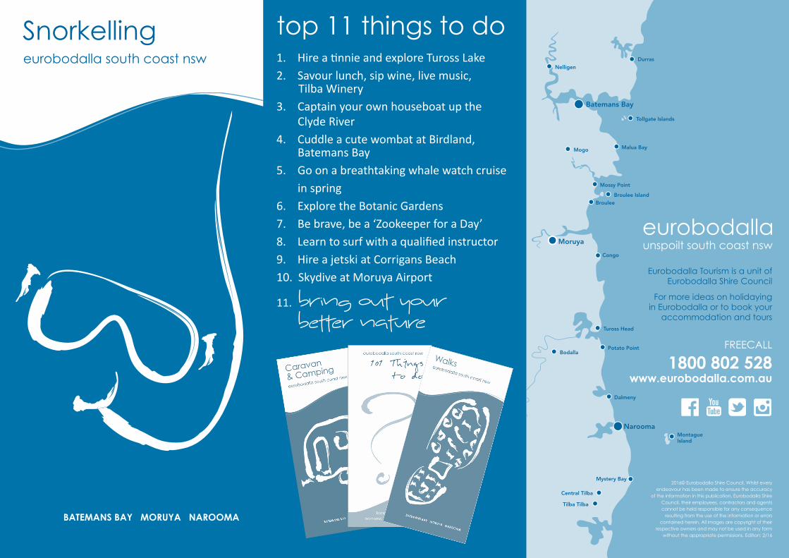
Snorkelling sitesChain Bay to Acheron Ledge - Maloneys Beach12 km north of Batemans Bay
Sunshine Cove Beach5 km south of Batemans Bay
McKenzies Beach14 km south of Batemans Bay
Guerilla Bay18 km south of Batemans Bay
Tomakin CoveTomakin 18 km south Batemans Bay
Candlagan CreekMossy Point 16 km north of Moruya
Broulee IslandBroulee 14 km north of Moruya
Potato Point9 km east of Bodalla
Bar Beach SouthNarooma
Montague Island5 km east of Narooma off the coast
Mystery Bay12 km south of Narooma
Eurobodalla Shire Council acknowledges contributions from the following:
Batemans Marine Park, Garran Carnall, Narooma News, Nature Coast Marine Group, Tonia Liosatos, Total Eco Adventures.
bring out your better nature
1
2
3
4
5
6
7
8
9
10
11
Chain Bay to Acheron Ledge - Maloneys Beach12 km north of Batemans Bay
How to get there: Head north from Batemans Bay 8km on the Princes Highway. Turn right into Cullendulla Drive, Northcove Road to Maloneys Beach and onto Chain Bay. There is a sandy track down to the beach car park and a basic boat ramp.
Snorkel from the calm and shallow beach to the left toward the rocks. Not far from shore you will find amazing rocky formations with plenty of nooks and crannies where sea creatures hide. Take the time to explore and spot abundant fish life in small groups and larger schools, rays, starfish and shell fish. Keep your eyes peeled for abalone and crayfish - hard to spot but great to eat (note that a fishing licence is required and bag limits and size restrictions apply).
Sunshine Cove Beach5 km south of Batemans Bay
How to get there: Sunshine Cove Beach is only 5 km south of Batemans Bay along Beach Road at Sunshine Bay.
Sunshine Cove Beach is ideal for families keen to try some snorkelling in relatively calm waters. It’s a picturesque location, protected from southerly swells and enclosed by two prominent headlands. The beach is a mixture of pebbles and sand and is a real getawayclose to town. There is a mixture of rocky reef, sandy bottom and seaweed beds. Novices and experiencedsnorkellers are likely to see endemic fish such as red morwong, luderick, bream and gropers as well as lobsters and abalone. It is a Habitat Protection Zone of the Batemans Marine Park, so certain rules apply. Please check the zoning plan available from Visitor Centres and most bait and tackle stores in the area.
1
2
on the tide this can be difficult to access as some jagged rocks need to be negotiated to get to the water - but for more experienced snorkellers, in the right conditions, it is worth the effort. The pot is a deep hole with ridges of rock rising from the bottom, the ocean sides of the ridges are covered in growths such as encrusting sponges of various colours. On the far side of the pot is a small “cave” that you can swim into and surprise the numerous small crabs. The sheltered bay on the southern side of the spit is a comfortable location for beginners. The bottom is rocky with a flat reef extending up in walls on a roughly 35 degree angle and sheer walls that stretch up to ten metres – the seaweed-covered rocks and the crevices between them offer shelter to a wide variety of fish species such as mado, sweep, rock cale, blue groper, crimson banded wrasse, senator wrasse and luderick. There is usually an abundance of stingrays, nudibranchs, eels and more.
Tomakin CoveTomakin 18 km south of Batemans Bayvia Princes Highway and Tomakin Road
How to get there: Turn off George Bass Drive into Ainslie Parade, follow this to the end and turn right into Red Hill Parade. Park in the Barlings Beach carpark below Melville Point, cross the road and use the track going down to the cove.
Tomakin Cove is a protected, sandy cove with shallow lagoon-like qualities making it popular with novice snorkellers, groups and parents with young children. The cove is in Broulee Bay and is almost completely surrounded by rocky outcrops and reefs - on its southern side rocky platforms extend out into the bay, while to the north the cove is sheltered by Melville Point. Above the water, the rocks at Tomakin Cove are known for their beautiful afternoon hues, while below the water snorkellers commonly see stingray species such as stingarees and eagle rays buried in the seabed floor, as well as schools of small whiting, mullet and baitfish feeding over the sand. On the seaward side of the cove the dense cover of kelp shelters many small fish, and garfish are common in the deeper gutters near Melville Point.
McKenzies Beach14 km south of Batemans Bay via George Bass Drive
How to get there: Drive south from Batemans Bay, to the end of Beach Road and then left on to George Bass Drive. Just past Malua Bay, watch out for a turnoff on the left into a small carpark.
McKenzies Beach is a small, beautiful, undeveloped beach which should only be tackled by more experienced snorkellers. Enclosed by two headlands with rocks that ease down to greet the ocean and form natural reefs, conditions must be perfect if you’re entering the water snorkelling. The beach is known for its rugged surf and is open to the swell, which can impact on visibility. Places to explore for experienced and fit snorkelling enthusiasts include the amphitheatre around the rocks at the southern end of the beach. Enter the water round the corner facing Jimmy’s Island - water depth is from five to eight metres deep. The amphitheatre is a special world of its own with spectacular rock formations and marine life such as baby cuttle fish. At the northern end of the beach, the wave and current movements have led to an exposed long reef to explore – the reef system is shallower and, in a nor-easter, is well protected. Common marine life includes Port Jackson sharks, crayfish, gropers, stingrays and lots of schooling fish.
Guerilla Bay18 km south of Batemans Bayvia George Bass Drive
How to get there: Take the Guerilla Bay turn off from George Bass Drive into Burri Pt Rd, then left into Beach Parade and near its end turn right to the carpark.
The water at secluded Guerilla Bay is clear and inviting and provides different experiences for different levels of snorkellers. A prominent small rocky island is a feature of the bay and divides the safer more comfortable snorkelling waters to the south of the gravel spit and the more adventurous and dangerous waters to the north of the spit. On this northern side is “the pot”. Depending
3
5
4
Candlagan CreekMossy Point 16 km north of Moruya
How to get there: To get to Candlagan Creek, Mossy Point, turn off the Princes Highway at Mogo into Tomakin Road. Follow Tomakin Road until George Bass Drive, and turn right. Shortly after the Tomago River bridge, turn left into Annetts Parade. Follow Annetts Parade through Mossy Point until it turns into Beach Road. You’ll see a small car park on the left just before you cross the bridge over Candlagan Creek.
Candlagan Creek, Mossy Point is a favourite spot for children and families in the Eurobodalla, and plays an important part in the marine ecosystem with juvenile fish hidden amongst the seagrass beds and mangroves. Candlagan Creek is an estuary that extends from the northern end of Broulee Beach to approximately five kilometres inland, with the fish breeding grounds starting just beyond the bridge that also divides Mossy Point from Broulee. At its mouth Candlagan Creek is quite shallow and sheltered from adverse ocean conditions by a wide and prominent sandbar. On its northern edge, there is a grassy bank with shady trees and picnic tables. Young snorkellers and even older novice snorkellers will enjoy the experience offered. As well as the fish breeding ground with juvenile mullet, bream, black fish, flathead and whiting, stingarees are common and the tidal nature of the creek means the current is used as a source of fun by the children to carry themselves along in the water. Candlagan Creek is also used by older residents in the area as a relaxing source of hydrotherapy. Be aware that the current can be very strong where the creek meets the sea, especially on an outgoing tide, while sharp oysters might be attached to the rocks, making it hazardous to feet.
6
Montague Island9 km east of Narooma off the coast
How to get there: Charter boats go out to the island regularly and tours can be booked for just snorkelling or combined with a tour of Montague Island which you can visit as a day trip or for a 2 night stay in the refurbished lighthouse keeper’s quarters.
One of the greatest snorkelling adventures in the Eurobodalla is a trip out to Montague Island to snorkel and swim with the seals. Depending on the season, between 400 and 2000 New Zealand and Australian Fur Seals inhabit the iconic granite rocks that distinguish this special wildlife sanctuary, looked after by the NSW National Parks and Wildlife Service. The island is a destination for eco-tourists, whale watchers, lighthouse history buffs and divers looking for the endangered Grey Nurse Shark. Less well-known is the unique opportunity to snorkel with the playful and curious island seals. Much of the water around the island is deep, so experience and confidence is a must, as is good weather, but the encounter with nature and the surreal view of the underwater kelp forest makes this a once-in-a-lifetime experience.
Mystery Bay12 km south of Narooma
How to get there: Follow the Princes Highway south from Narooma, approximately 10 km, then turn left onto Mystery Bay Road. There’s wonderful diving around the rocks, or try the huge, sheltered rock pool a little north of Mystery Bay Beach. Head north through the primitive camp ground. You’ll find a track that heads right. This will descend quite steeply as it gets to the pool.
Mystery Bay boasts an array of stunning beaches and rock formations, ideal for snorkellers seeking to build up skills and confidence. The beach is split into two areas, the northern section and the smaller southern beach. The southern area is protected from large ocean waves and is perfect for beginners to swim around the rock bars. For the adventurous, there are deep channels around Mystery Bay with fantastic snorkelling areas.
snorkellers need to be aware of a few important tips to make exploring this diverse and exciting marine habitat a safe and rewarding experience. On the northern side of the point facing Potato Point Beach is a concrete boat ramp which is a good entry and exit point from the water, but there is a slight rip near the boat ramp which needs to be considered. If you do get caught up in the rip don’t panic and don’t try to swim against it. It doesn’t take you far out and you can then swim further north and exit along Potato Point Beach. Marine life you might encounter at Potato Point includes wobbegongs; Port Jackson sharks and stingrays, the rocky reefs and sandy gutters also contain fingers of habitat such as sea squirts and urchins. The northern side of Potato Point is the best area for snorkelling around the point. The southern side is more exposed and can be dangerous.
Bar Beach SouthNarooma
How to get there: To get to Bar Beach South, head north on the Princes Highway across Narooma Bridge and turn right 150m into Centenary Drive, continue until the turn off into the Apex Park area.
One of the safest beaches for children to learn to snorkel along the Eurobodalla coastline is Narooma’s Bar Beach South. Its naturally enclosed and protected position near the mouth of the Wagonga Inlet is further enhanced by the breakwall at its northern end. The marine habitat includes juvenile fish, squid and jelly fish. It’s also possible to occasionally see small seahorses which will be sure to give young naturalists a fun and rewarding introduction to the marine world. The beach is enclosed by netting and its sheltered position makes it popular not only with novice snorkellers, but with divers as well. Close to Bar Beach South is Apex Park which has all the necessary amenities and more for families making a day of it, including a playground, covered picnic tables, barbecues and plenty of parking.
Broulee IslandBroulee 14 km north of Moruya
How to get there: To get to Broulee Island follow the signs from George Bass Drive, turn on to Broulee Road which becomes Grant Street. Turn right onto Heath Street, left onto Bayside Street and finally right on to Harbour Drive, where you’ll find a carpark at the end.
Broulee Island is regarded as one of the best snorkelling spots along the Eurobodalla coastline. Two areas on the island are sought out by snorkellers - one is at the bay near Pink Rocks which is the north eastern point of the island. The bay is about two to four metres deep and is protected in terms of swell. It’s also home to seagrass meadows, with stingrays and banjo sharks sometimes seen amongst the grass. It’s fine for beginners in the right conditions, as is the southern side of the island which is also protected in terms of swell. The southern side is an extremely productive area, with different habitats around the reef system such as flat sands, big reef walls and shallow reefs, all combining to make it a superb spot for snorkelling. More adventurous snorkellers will discover a drop-off of about 30 metres that exists some way offshore. As you’re exploring Broulee Island, watch out for a number of ‘rogue’ green turtles that have made the island home and the endangered weedy sea dragon and eastern blue devil fish. Old discarded ballast rocks from the vessels that entered the island harbour may also be discovered in the Pink Rocks area.
Potato Point9 km east of Bodalla
How to get there: Potato Point is 9 kilometres east of Bodalla. Follow Potato Point Road to the end, then turn left onto Long Point Street, left again on to Short Street, then right back on to Long Point Street. On the left of the street, you’ll find the beach reserve and a small drive to the boat ramp.
At Potato (Spud) Point, snorkellers can find themselves suddenly enveloped in a school of kingfish or salmon. It’s not an area for novices and even experienced
8
9
10
11
7