Embed Size (px)
Citation preview
Shuming BaoChina Data Center
University of Michigan
Spatial Intelligence for China and Global Studies
Information, Technology and Applications
Demand for Spatial Analysis
Identify the spatial structure of economic and demographic forces (urban core, urban periphery and rural hinterland).
Identify the spatial interactions (linkages) between urban and rural areas.
Evaluate the effects of local amenities on regional development.
Objective: The System Dynamics of Spatial Economy
Questions for Spatial Analysis
Is there any spatial cluster over space?Are spatial observations distributed
randomly over space?Are spatial observations correlated
(autocorrelation)? Is there any spatial outlier? Is there any spatial trend?What is the interaction (statistically and
theoretically) between different variables?How to predict an unknown spatial value at a
specific location?
• Exploratory Spatial Data Analysis Graphic Analysis Geostatistics Spatial Statistics
• Spatial Modeling Gravity models Spatial linear models Space-temporal models Other models
Methodology for Spatial Analysis
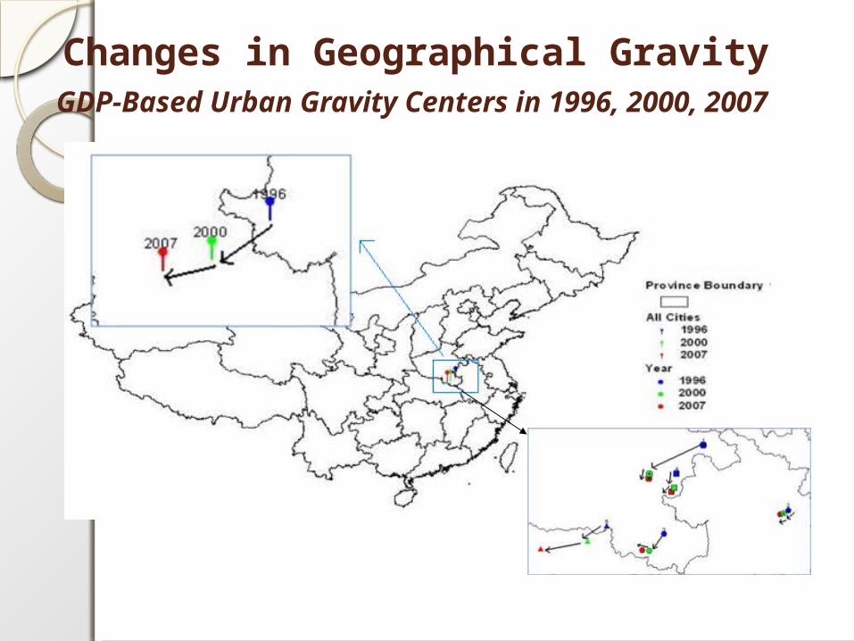
Changes in Geographical Gravity GDP-Based Urban Gravity Centers in 1996, 2000,
2007
Data for Spatial Analysis
• Statistical Data• Census Data• Spatial Data• Full Text Data
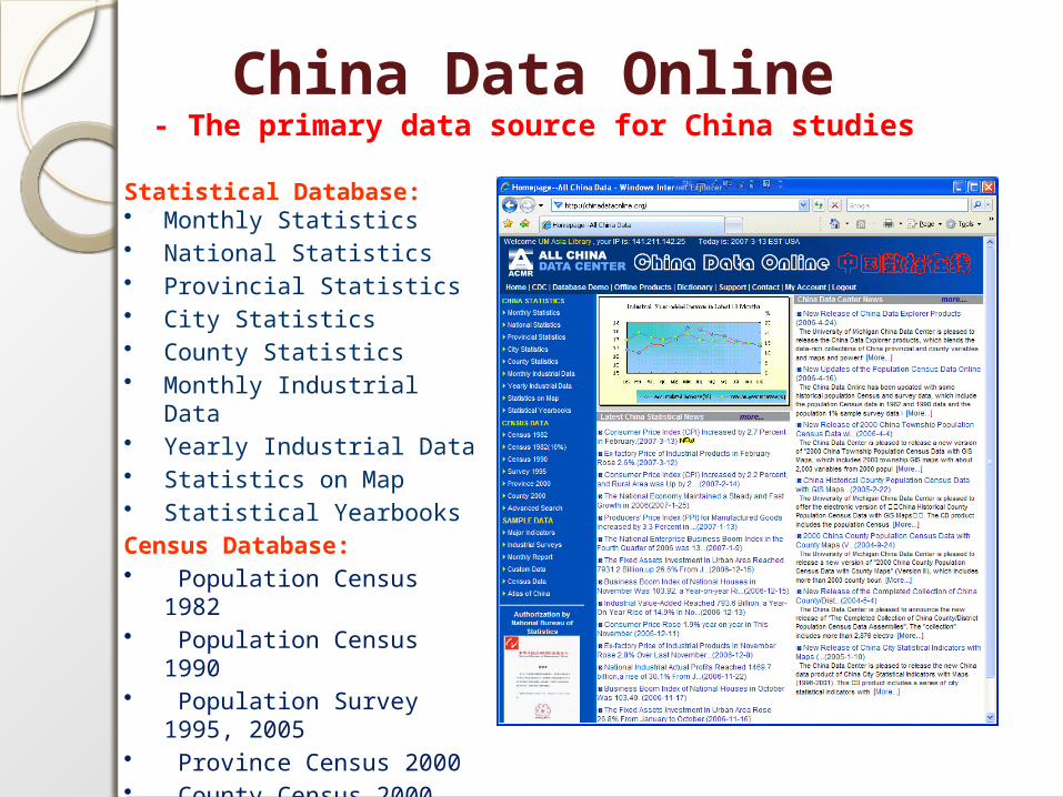
China Data Online- The primary data source for China studies
Statistical Database:• Monthly Statistics • National Statistics • Provincial Statistics • City Statistics • County Statistics • Monthly Industrial Data • Yearly Industrial Data • Statistics on Map • Statistical Yearbooks Census Database:• Population Census 1982 • Population Census 1990 • Population Survey 1995,
2005• Province Census 2000 • County Census 2000• Economic Census 2004
The Census Data of China
Population Census:1953, 1964, 1982, 1990, 2000
Economic Census:Industrial Census (1995)Basic Unit Census (2001)Economic Census (2004)
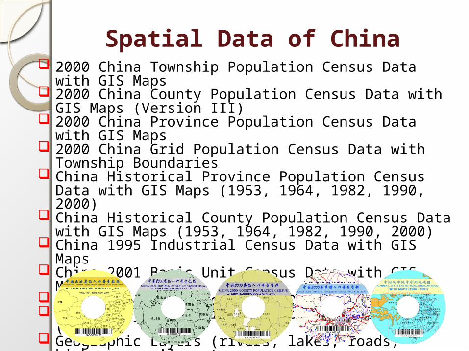
Spatial Data of China 2000 China Township Population Census Data with GIS Maps 2000 China County Population Census Data with GIS Maps
(Version III) 2000 China Province Population Census Data with GIS Maps 2000 China Grid Population Census Data with Township
Boundaries China Historical Province Population Census Data with GIS
Maps (1953, 1964, 1982, 1990, 2000) China Historical County Population Census Data with GIS
Maps (1953, 1964, 1982, 1990, 2000) China 1995 Industrial Census Data with GIS Maps China 2001 Basic Unit Census Data with GIS Maps China 2004 Economic Census Data with GIS Maps China City Statistical Indicators with Maps (1996-) Geographic Layers (rivers, lakes, roads, highways, railways)
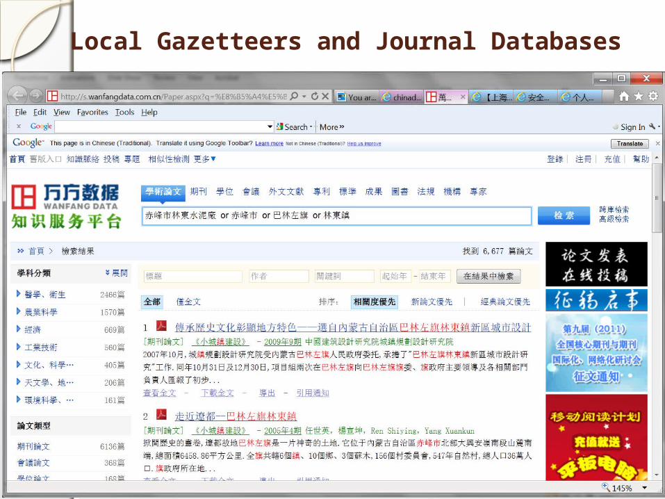
Local Gazetteers and Journal Databases
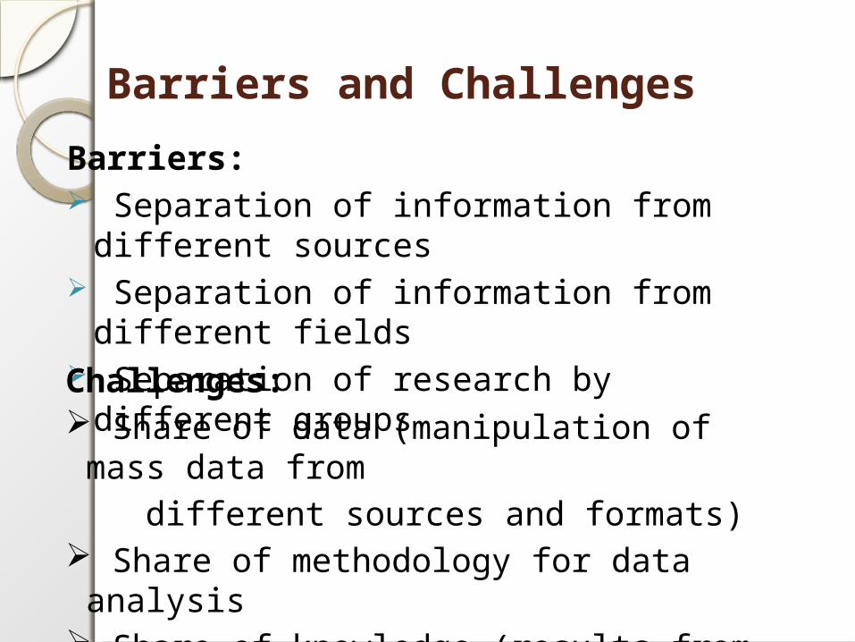
Barriers and Challenges
Barriers: Separation of information from different
sources Separation of information from different
fields Separation of research by different
groupsChallenges: Share of data (manipulation of mass data from
different sources and formats) Share of methodology for data analysis Share of knowledge (results from research)
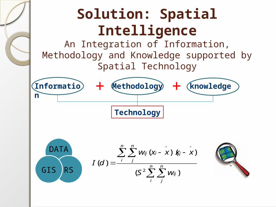
Solution: Spatial Intelligence
An Integration of Information, Methodology and Knowledge supported by Spatial Technology
)(
))((
)(2
n
i
n
j
ij
n
i
n
j
jiij
wS
xxxxw
dI
DATA
RSGIS
Information
+ Methodology
+ knowledge
Technology
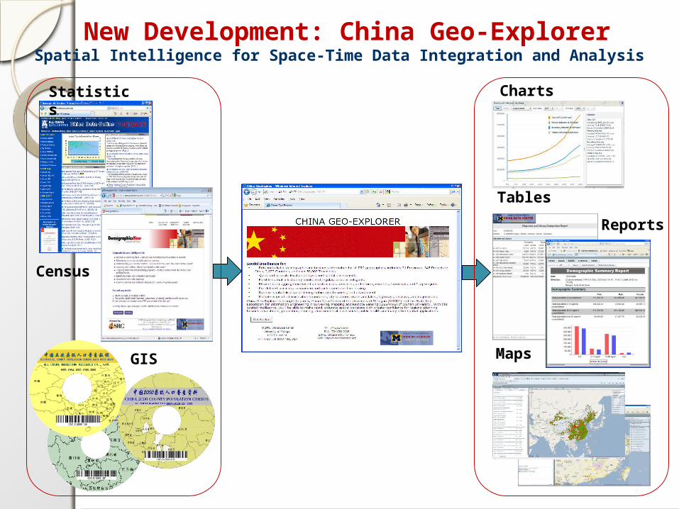
New Development: China Geo-ExplorerSpatial Intelligence for Space-Time Data Integration and Analysis
Statistics Charts
GIS
Census
Maps
Tables
Reports
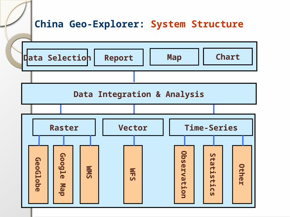
China Geo-Explorer: System Structure
Report Map ChartData Selection
Data Integration & Analysis
Geo
Glo
be
Go
og
le Map
WM
S
WF
S
Ob
servation
Raster Time-SeriesVector
Statistics
Oth
er
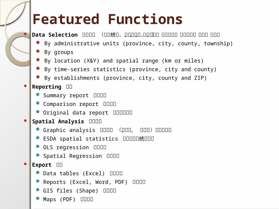
Featured Functions Data Selection 数据选择 (政府统计、人口普查、经济普查、工业普查、单位普查、土地、环
境) By administrative units (province, city, county, township)
By groups
By location (X&Y) and spatial range (km or miles)
By time-series statistics (province, city and county)
By establishments (province, city, county and ZIP)
Reporting 报告 Summary report 汇总报告 Comparison report 比较报告 Original data report 原始数据报表
Spatial Analysis 空间分析 Graphic analysis 图形分析 (直方图, 散点图,多变量图) ESDA spatial statistics 探索性空间统计分析 OLS regression 普通回归 Spatial Regression 空间回归
Export 输出 Data tables (Excel) 数据表格 Reports (Excel, Word, PDF) 分析报告 GIS files (Shape) 数字地图 Maps (PDF) 打印地图

System Demo
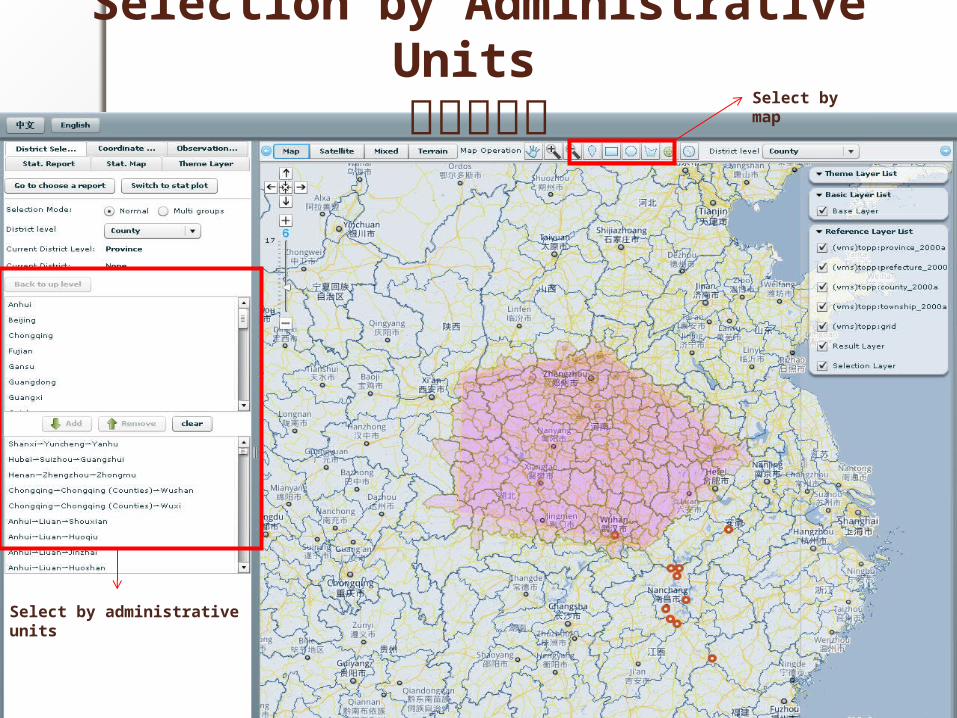
Selection by Administrative Units 行政区选择
Select by administrative units
Select by map
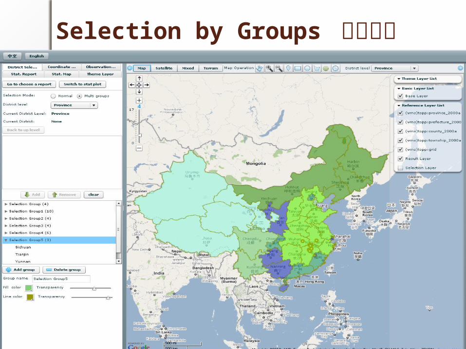
Selection by Groups 分组选择
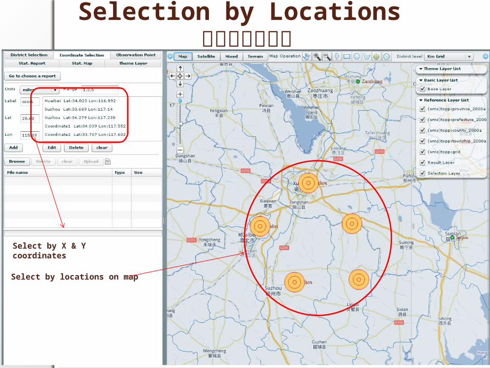
Selection by Locations 按空间位置选择
Select by X & Y coordinates
Select by locations on map
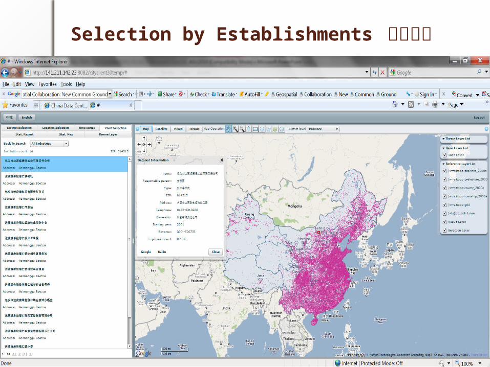
Selection by Establishments 单位选择
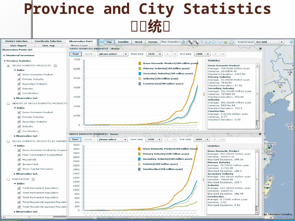
Province and City Statistics 政府统计
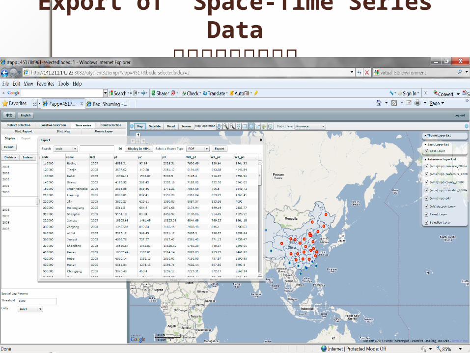
Export of Space-Time Series Data时空数据分析与输出
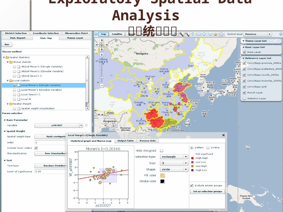
Exploratory Spatial Data Analysis 空间统计分析
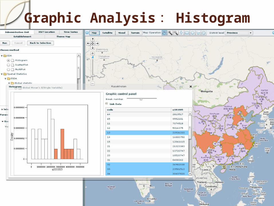
Graphic Analysis : Histogram
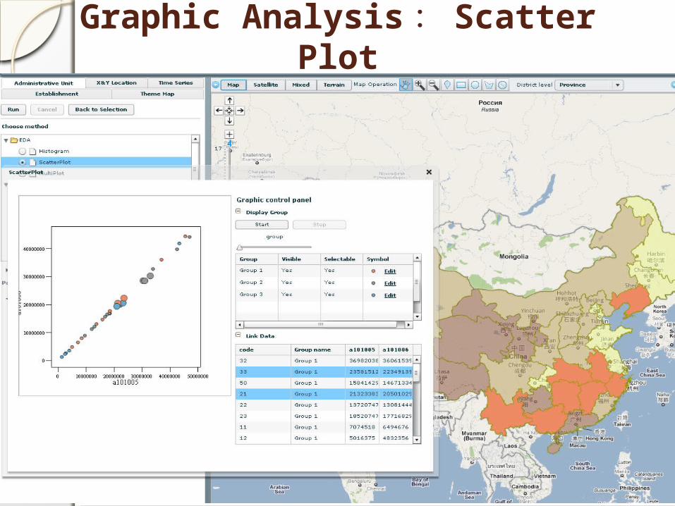
Graphic Analysis : Scatter Plot
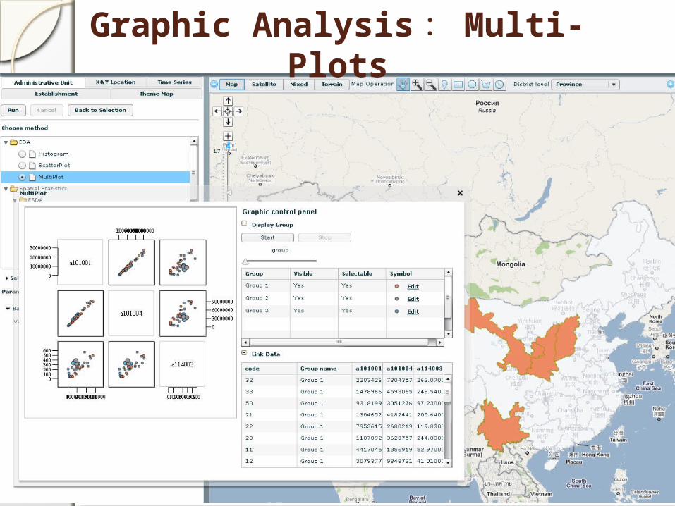
Graphic Analysis : Multi-Plots
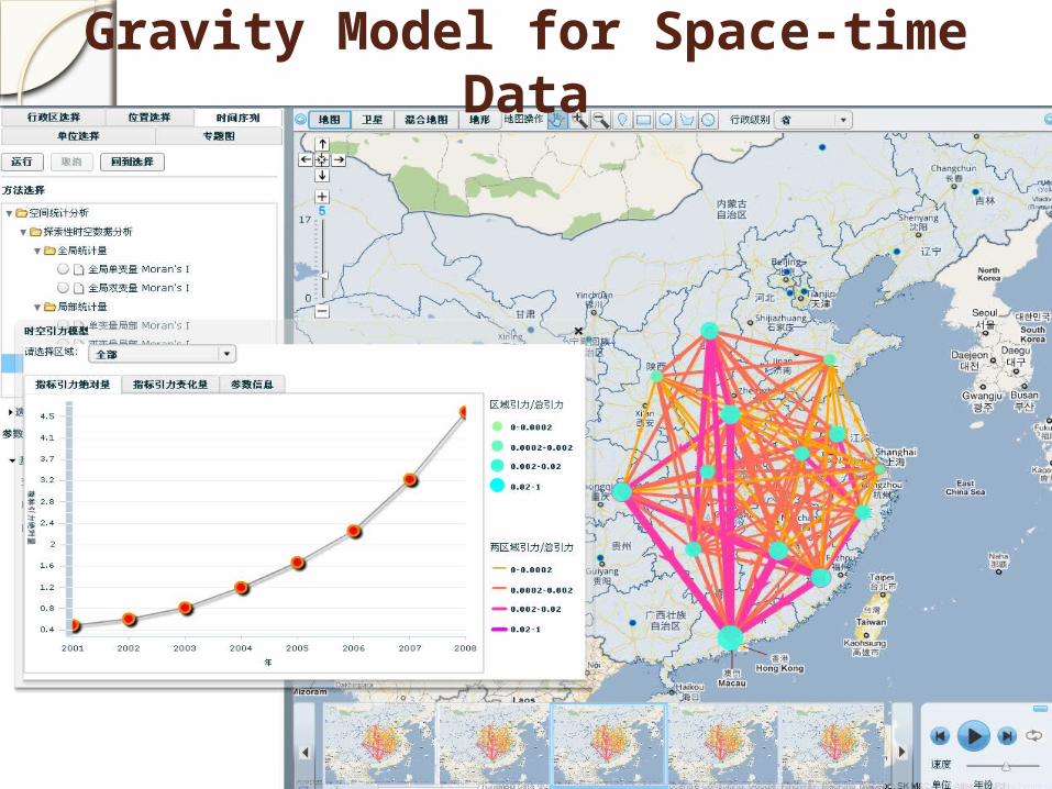
Gravity Model for Space-time Data
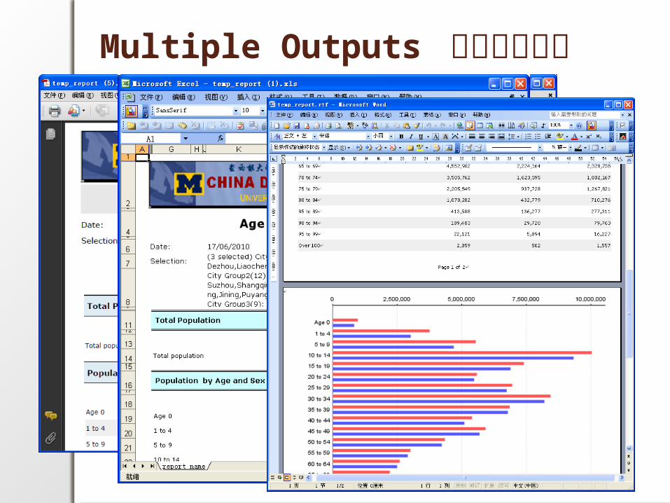
Multiple Outputs 多种报告输出
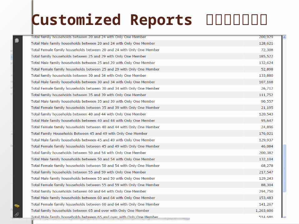
Customized Reports 自定义报告输出
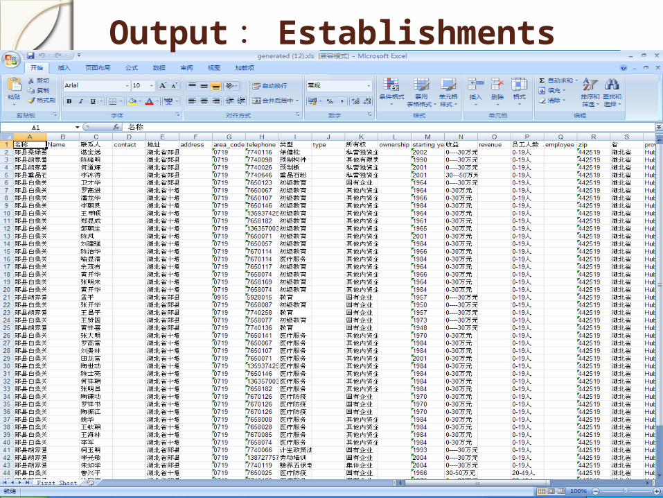
Output : Establishments
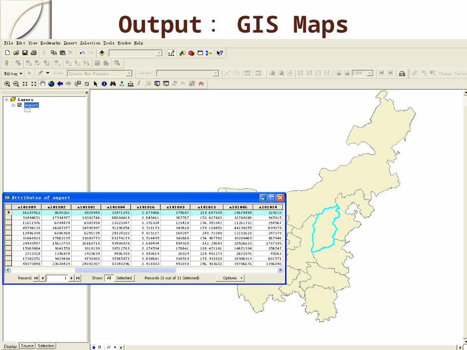
Output : GIS Maps
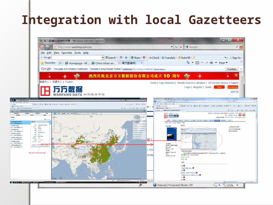
Integration with local Gazetteers
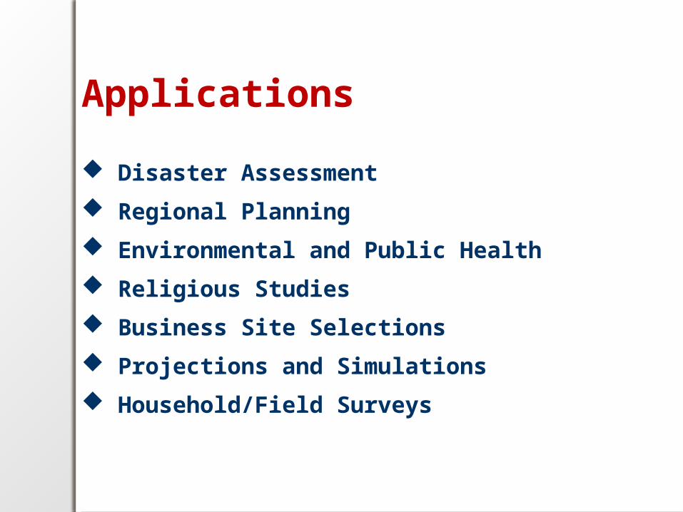
Applications
Disaster Assessment
Regional Planning
Environmental and Public Health
Religious Studies
Business Site Selections
Projections and Simulations
Household/Field Surveys
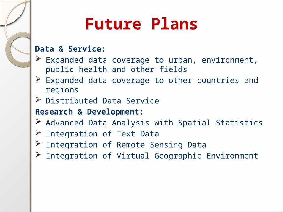
Future PlansData & Service: Expanded data coverage to urban, environment, public health
and other fields Expanded data coverage to other countries and regions Distributed Data Service
Research & Development: Advanced Data Analysis with Spatial Statistics Integration of Text Data Integration of Remote Sensing Data Integration of Virtual Geographic Environment
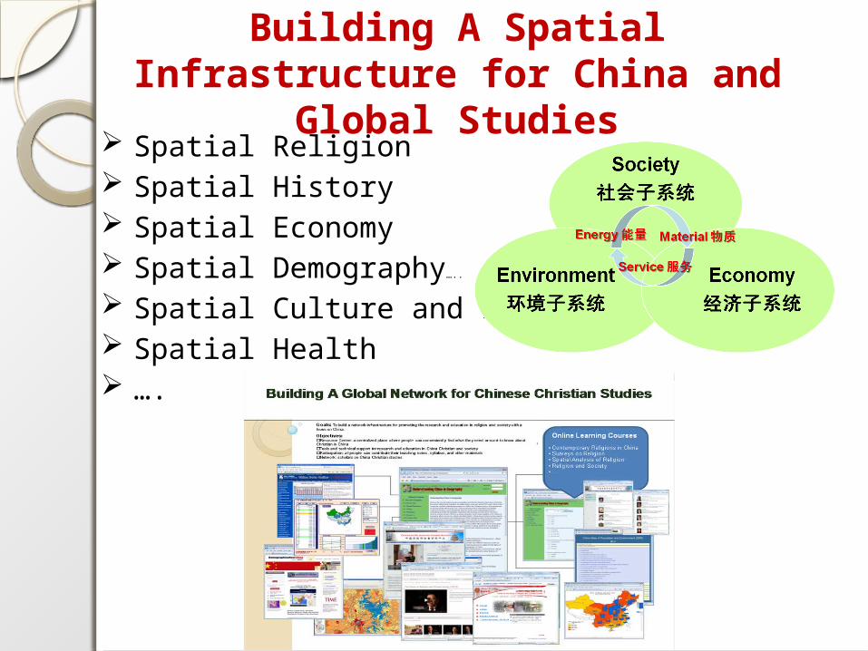
Building A Spatial Infrastructure for China and Global Studies
Spatial Religion Spatial History Spatial Economy Spatial Demography…..
Spatial Culture and Education Spatial Health ….

Chinadatacenter.orgChinadataonline.org
Chinasurveycenter.org