Embed Size (px)
Citation preview
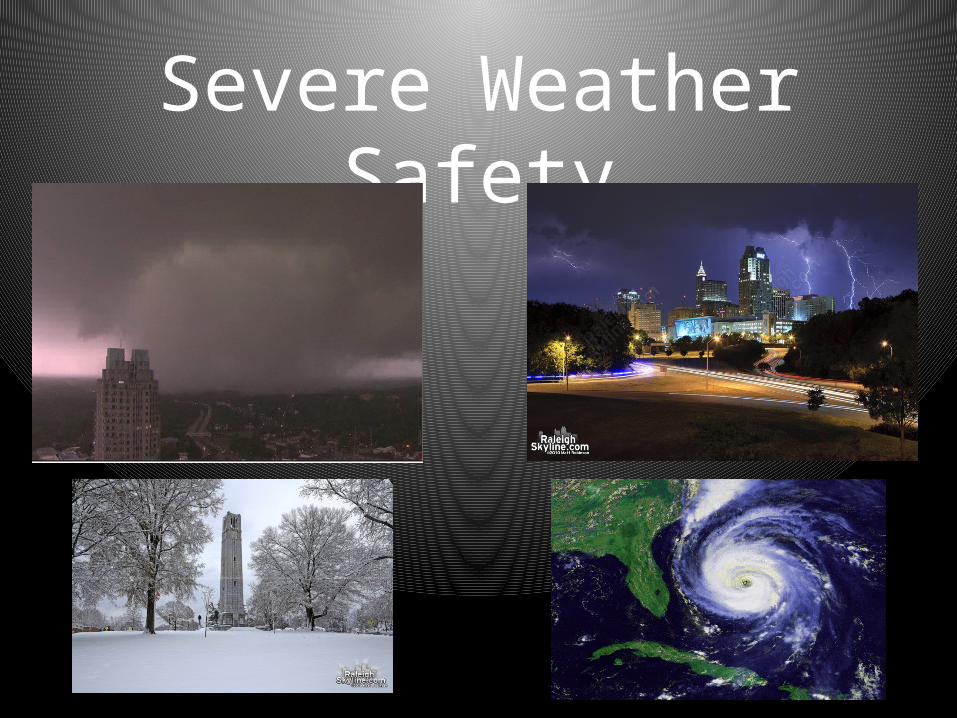
Severe Weather Safety
Weather Related Emergencies
• Emergencies most common to our area:– Thunderstorms, tornadoes, flash floods,
hurricanes and snow/ice.• These emergencies can be a threat to faculty,
staff, students and visitors.• We can be prepared by being aware.
The following presentation will give you helpful information so that you
may prepare yourself for these types of events.
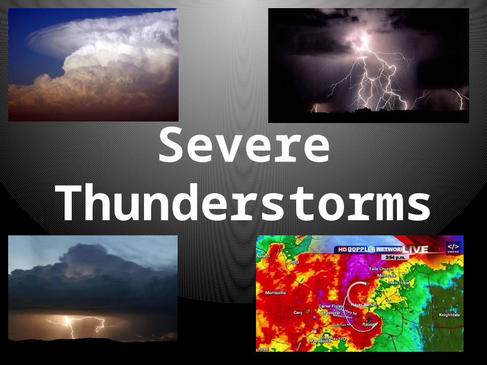
Thunderstorms
• Severe thunderstorms can bring heavy rains, high winds, and lightning.
• When severe thunderstorms threaten your area, listen to your local radio or TV station.
• These stations will provide updated information.
• You should know the following terms used to describe storm threats:
Terms
• SEVERE THUNDERSTORM WATCH —Conditions are right for a severe storm.
• SEVERE THUNDERSTORM WARNING—A severe storm has been observed or has been detected by radar.
Storm Safety Tips
• Do not use the telephone, except for emergencies.
• Do not use bathtubs, water faucets and sinks. Metal pipes can conduct electricity.
• Go inside a home, large building, or car (not a convertible). The interior of the building would be preferable.
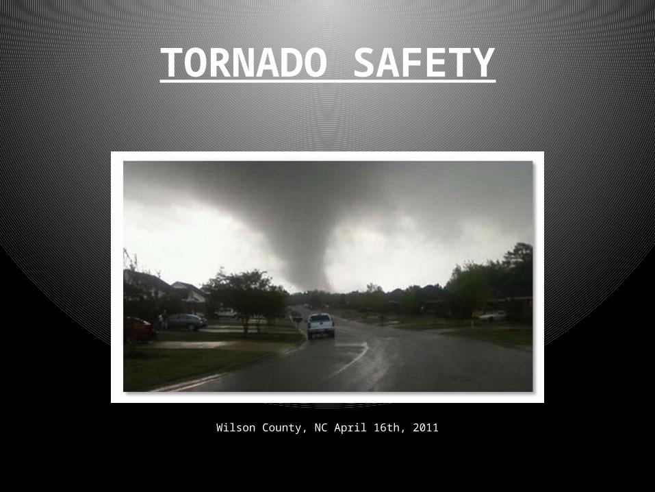
TORNADO SAFETY
Wilson County, NC April 16th, 2011
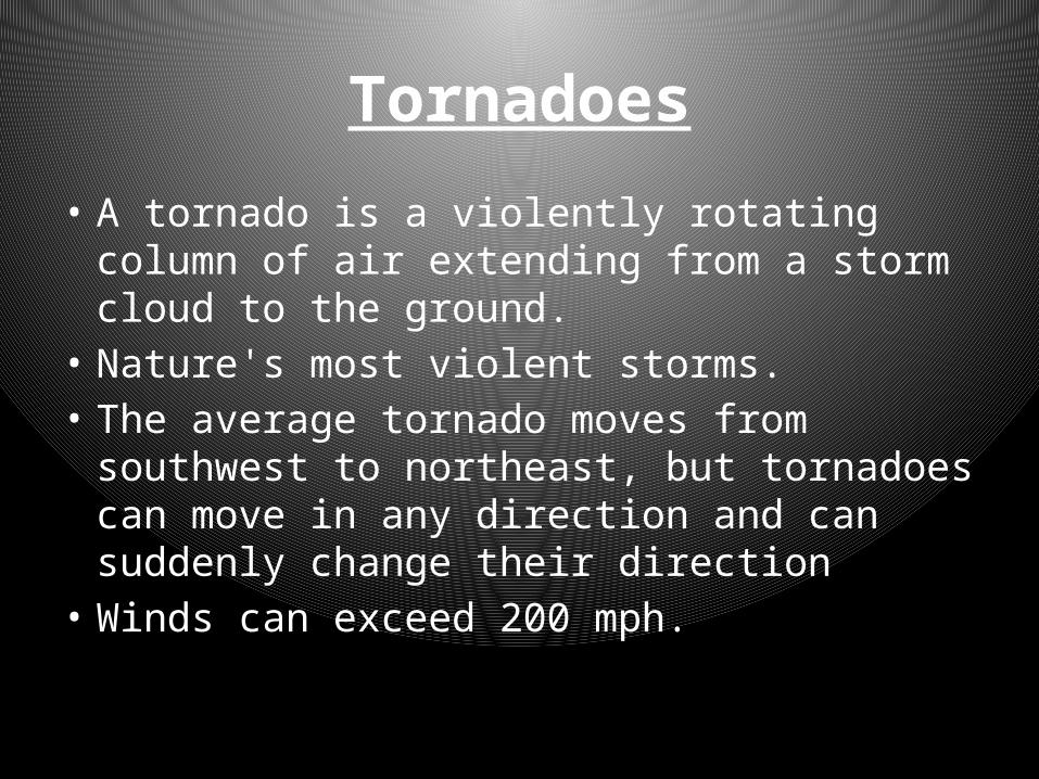
Tornadoes
• A tornado is a violently rotating column of air extending from a storm cloud to the ground.
• Nature's most violent storms. • The average tornado moves from southwest
to northeast, but tornadoes can move in any direction and can suddenly change their direction
• Winds can exceed 200 mph.
Tornadoes
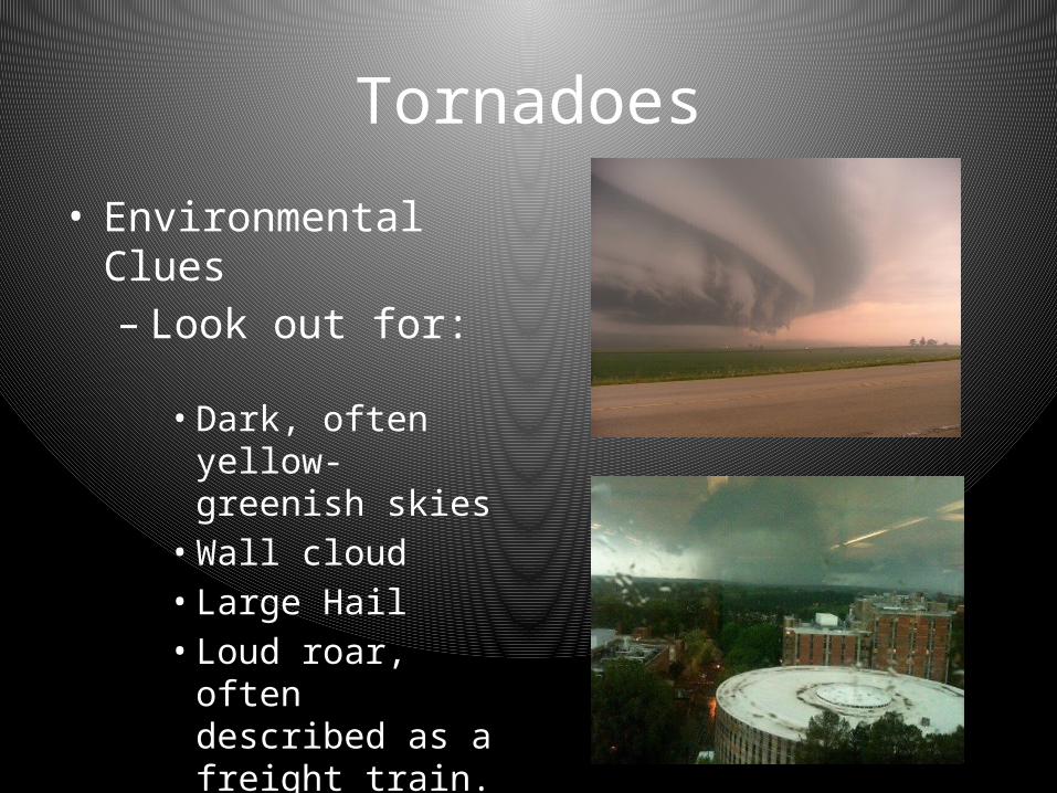
• Environmental Clues– Look out for:• Dark, often yellow-
greenish skies• Wall cloud• Large Hail• Loud roar, often
described as a freight train.
Terms
• TORNADO WATCH—A tornado may occur in or near your area. Listen to a radio or television station in your area. These stations will provide updated information.
• TORNADO WARNING—A tornado has been seen, or has been shown by radar. If a tornado warning is given for your area, take shelter immediately.

Tornado Safety Tips Cont’d
• IF YOU ARE IN A BUILDING—go to an inside hallway on the lowest floor away from windows and doors or to a designated shelter area.
• IF YOU ARE OUTSIDE—take cover and lie flat in the nearest ditch and cover your head with your arms.
• IF YOU ARE IN A CAR—get out and take shelter in the nearest ditch, ravine, or culvert and cover your head with your arms.
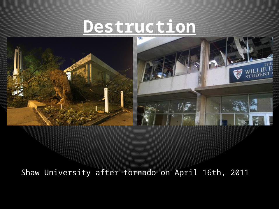
Destruction
Shaw University after tornado on April 16th, 2011

Destruction
South Saunders Street in Raleigh after tornado on April 16th, 2011

Destruction
Lowes in Sanford, NC after tornado on April 16th, 2011
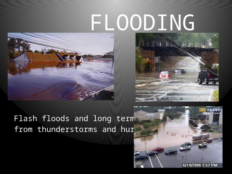
FLOODING
Flash floods and long term flooding from thunderstorms and hurricanes.
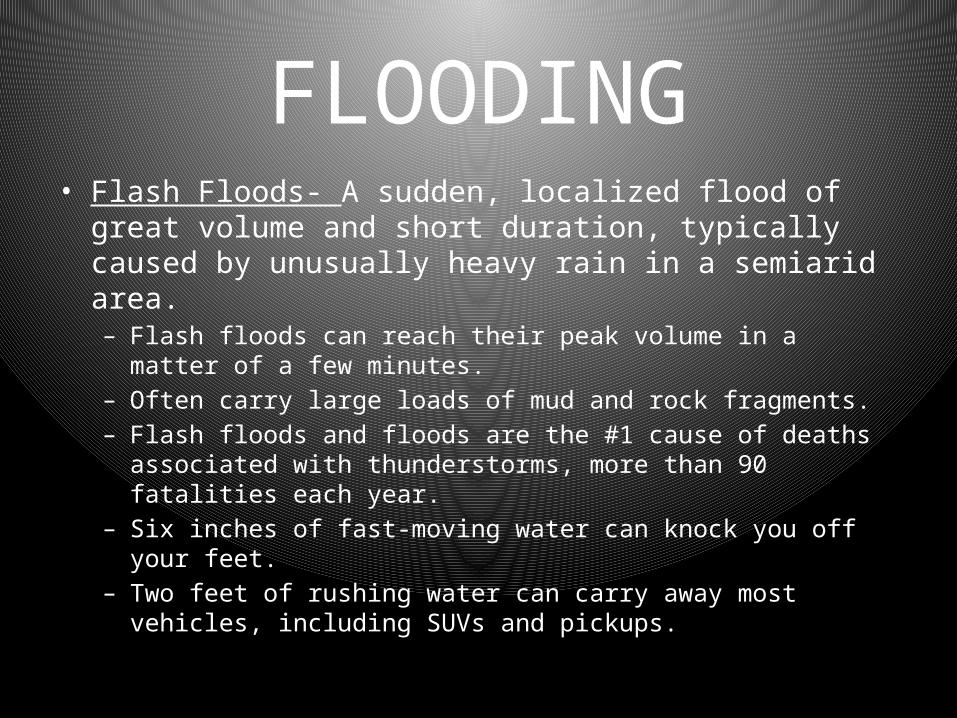
FLOODING • Flash Floods- A sudden, localized flood of great volume and
short duration, typically caused by unusually heavy rain in a semiarid area. – Flash floods can reach their peak volume in a matter of a few minutes.– Often carry large loads of mud and rock fragments.– Flash floods and floods are the #1 cause of deaths associated with
thunderstorms, more than 90 fatalities each year.– Six inches of fast-moving water can knock you off your feet.– Two feet of rushing water can carry away most vehicles, including
SUVs and pickups.
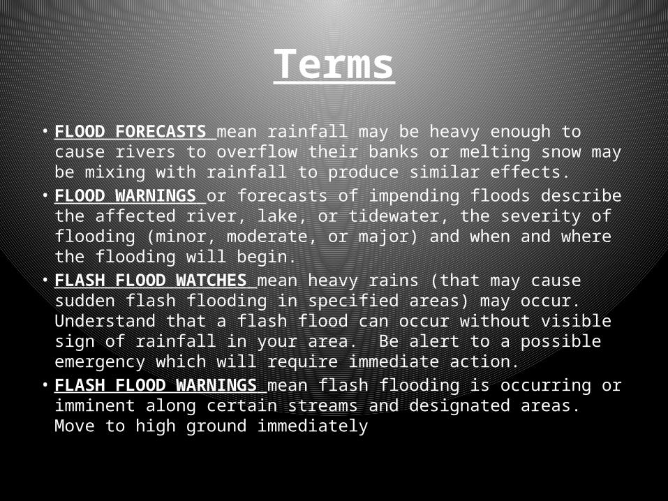
Terms• FLOOD FORECASTS mean rainfall may be heavy enough to cause
rivers to overflow their banks or melting snow may be mixing with rainfall to produce similar effects.
• FLOOD WARNINGS or forecasts of impending floods describe the affected river, lake, or tidewater, the severity of flooding (minor, moderate, or major) and when and where the flooding will begin.
• FLASH FLOOD WATCHES mean heavy rains (that may cause sudden flash flooding in specified areas) may occur. Understand that a flash flood can occur without visible sign of rainfall in your area. Be alert to a possible emergency which will require immediate action.
• FLASH FLOOD WARNINGS mean flash flooding is occurring or imminent along certain streams and designated areas. Move to high ground immediately
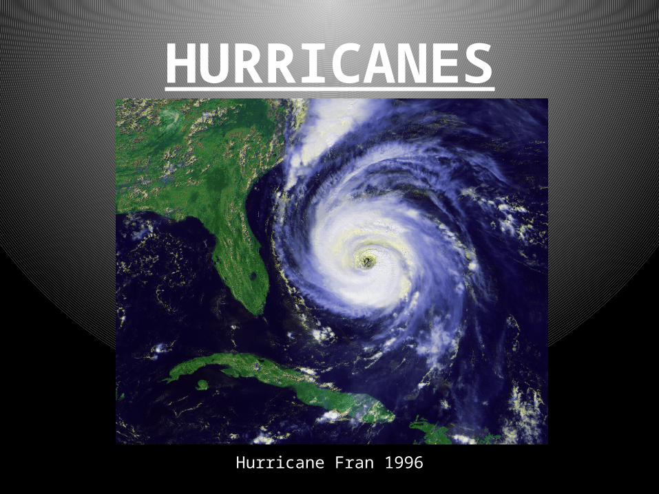
HURRICANES
Hurricane Fran 1996
TERMS
• Tropical Depression - an organized system of clouds and thunderstorms with a defined circulation and maximum sustained winds of 38 mph (33 knots) or less.
• Tropical Storm - an organized system of strong thunderstorms with a defined circulation and maximum sustained winds of 39 to 73 mph
• Hurricane - an intense tropical weather system with a well-defined circulation and maximum sustained winds of 74 mph or higher

HURRICANES
• A severe, rotating tropical storm with heavy rains and cyclonic winds exceeding 74 miles per hour.
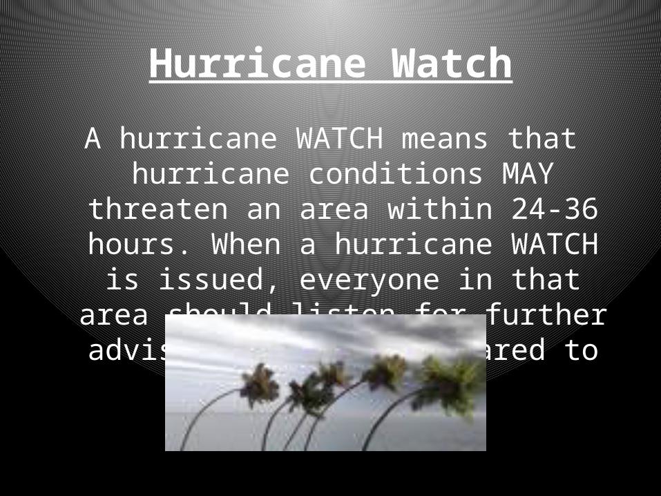
Hurricane Watch
A hurricane WATCH means that hurricane conditions MAY threaten an area within 24-36
hours. When a hurricane WATCH is issued, everyone in that area should listen for further advisories and be prepared to act promptly.

Hurricane Warning
• Hurricane Warning- issued when hurricane conditions are expected in a specified coastal area in 24 hours or less.
• Hurricane conditions include winds of 74 miles an hour and/or dangerously high tides and waves.
• Category 1- 74-95 mph winds, 4-5’ surge• Category 2- 96-110 mph winds, 6-8’ surge• Category 3- 111-130 mph winds, 9-12’ surge• Category 4- 131-155 mph winds, 13-18’ surge• Category 5- 155+ mph winds, 18’+ surge
HURRICANES• Actions for protection of life and property should begin
immediately when the warning is issued, including:– Frequently listen to your radio or TV for updates on the progression of
the storm.– Complete preparation activities such as putting up storm shutters,
storing loose objects, etc. – Move valuables to upper floors. – Store drinking water in clean jugs, bottles and cooking utensils. The
water system in your town could become contaminated or damaged by the storm.
– Check your battery-powered equipment. Your radio may be your only link with the outside world.
– Emergency cooking facilities and flashlights will be essential if utility services are interrupted.
Warning Cont’d
– Follow instructions issued by local authorities. Leave IMMEDIATELY if told to do so.
– Leave low-lying areas that may be swept by high tides or storm waves.
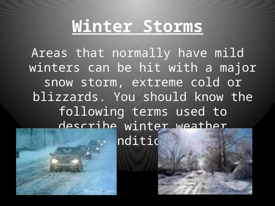
Winter StormsAreas that normally have mild winters can be hit
with a major snow storm, extreme cold or blizzards. You should know the following terms
used to describe winter weather conditions:
Terms
• WINTER WEATHER ADVISORY—Winter weather conditions, such as cold, ice, and snow are expected to delay travel, cause major problems, or create other types of dangerous conditions
• WINTER STORM WATCH—heavy accumulations of snow or ice are possible.
• WINTER STORM WARNING—heavy snow, sleet, or freezing rain is expected.
• BLIZZARD WARNING—heavy snow, winds, and dangerously low temperatures are expected. Blizzards can cause severe weather conditions such as zero visibility and life threatening wind chill.
Be Prepared for Weather Emergencies with:

WolfAlert Audible Warning System:
Outdoor sirens will sound a warning signal when the University Community should:• Seek Shelter Indoors• Seek Additional Information about the
EmergencyObtain additional information at:wolfalert.ncsu.edu, www.ncsu.edu, or other local news media.

WolfAlert Notifications• WolfAlert Emergency Information Emails are sent to addresses
ending in @ncsu.edu• WolfAlert Text Messages are sent to users with cell phone
numbers listed in MyPack Portal• WolfAlert Outdoor Sirens urge anyone outside to go indoors
and seek more information.• WolfAlert will post an emergency message on all Electronic
Billboards.• WolfAlert will post a message on the NCSU Homepage.
• Visit wolfalert.ncsu.edu for more information on how to sign up for WolfAlert Notifications .

NCSU is Prepared!!!
• Campus officials monitor weather conditions through the use of site specific weather monitoring service
• Campus officials will make notifications in the event that life threatening weather is approaching the University.
• The campus community may be notified via: Text Messages, NCSU Homepage, Email Messages, Social Media, Outdoor Siren, Electronic Billboards

If Severe Weather is Approaching:
• If you are indoors:– Get to a sheltered area such as a basement, ground
floor, bathroom, interior hallway or stairwell. Stay away from windows and doors.
– Get under a table or desk and cover your head.– Remain in protected area until the danger passes.
• If you are outdoors:– Lie face down in a low-lying area– Stay away from buildings, windows, telephone or
light poles.

Be prepared by being aware:
• Learn the severe weather shelter areas in your building.
• If none have been designated, look for an interior hallway, on a lower floor, away from windows and doors.
• Contact the NCSU Fire Marshal’s Office to implement a severe weather plan for your building if you have not done so already.
• Call the NCSU FMO at (919) 515-2568
All weather emergencies need to be taken seriously. Please follow the
safety guidelines we have given you. Your safety comes first!!
QUESTIONS?Contact NC State University
Fire Marshal’s OfficeKristen Boggs 919-513-3517