Embed Size (px)
Citation preview
1Water Management System SGA, Cluj , Romania ([email protected])2Technical University “Ghe. Asachi” of Iasi , Bd. D. Mangeron nr.65, 700050, Iasi, Romania ([email protected])
152
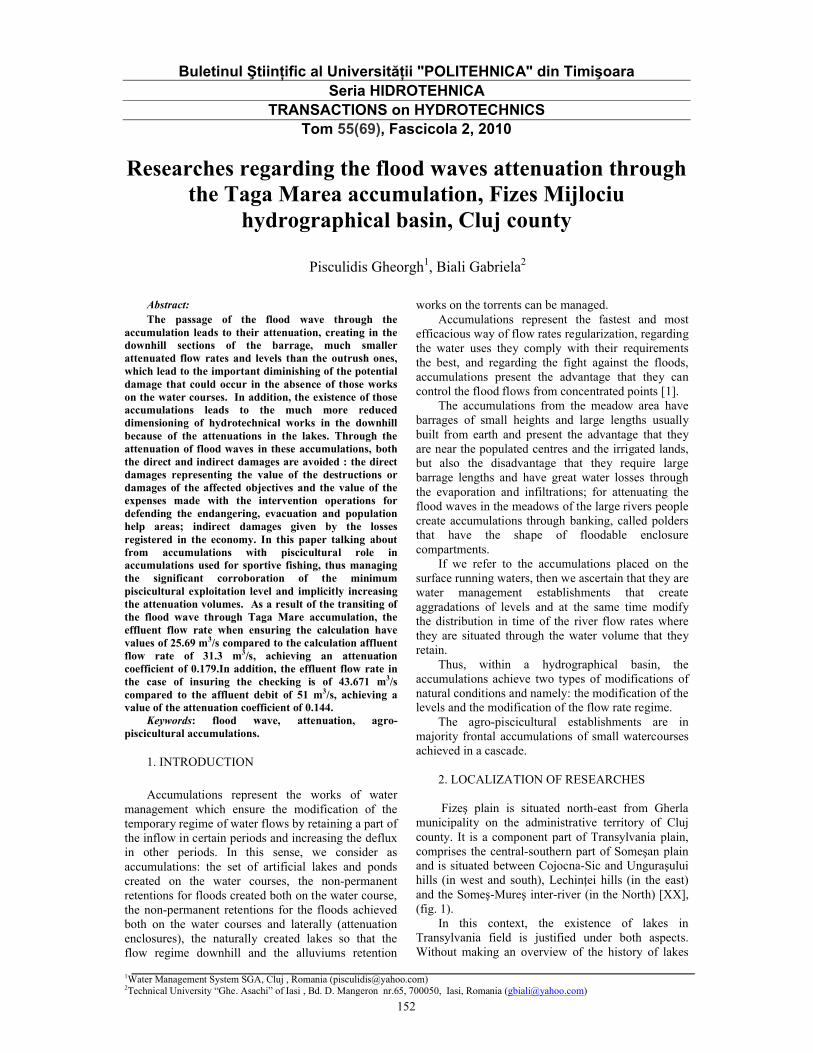
Buletinul Ştiinţific al Universităţii "POLITEHNICA" din TimişoaraSeria HIDROTEHNICA
TRANSACTIONS on HYDROTECHNICSTom 55(69), Fascicola 2, 2010
Researches regarding the flood waves attenuation through the Taga Marea accumulation, Fizes Mijlociu
hydrographical basin, Cluj county
Pisculidis Gheorgh1, Biali Gabriela2
Abstract:The passage of the flood wave through the
accumulation leads to their attenuation, creating in the downhill sections of the barrage, much smaller attenuated flow rates and levels than the outrush ones, which lead to the important diminishing of the potential damage that could occur in the absence of those works on the water courses. In addition, the existence of those accumulations leads to the much more reduced dimensioning of hydrotechnical works in the downhill because of the attenuations in the lakes. Through the attenuation of flood waves in these accumulations, both the direct and indirect damages are avoided : the direct damages representing the value of the destructions or damages of the affected objectives and the value of the expenses made with the intervention operations for defending the endangering, evacuation and population help areas; indirect damages given by the losses registered in the economy. In this paper talking about from accumulations with piscicultural role in accumulations used for sportive fishing, thus managing the significant corroboration of the minimum piscicultural exploitation level and implicitly increasing the attenuation volumes. As a result of the transiting of the flood wave through Taga Mare accumulation, the effluent flow rate when ensuring the calculation have values of 25.69 m3/s compared to the calculation affluent flow rate of 31.3 m3/s, achieving an attenuation coefficient of 0.179.In addition, the effluent flow rate in the case of insuring the checking is of 43.671 m3/s compared to the affluent debit of 51 m3/s, achieving a value of the attenuation coefficient of 0.144.
Keywords: flood wave, attenuation, agro-piscicultural accumulations.
1. INTRODUCTION
Accumulations represent the works of water management which ensure the modification of the temporary regime of water flows by retaining a part of the inflow in certain periods and increasing the defluxin other periods. In this sense, we consider as accumulations: the set of artificial lakes and ponds created on the water courses, the non-permanent retentions for floods created both on the water course, the non-permanent retentions for the floods achieved both on the water courses and laterally (attenuation enclosures), the naturally created lakes so that the flow regime downhill and the alluviums retention
works on the torrents can be managed. Accumulations represent the fastest and most
efficacious way of flow rates regularization, regarding the water uses they comply with their requirements the best, and regarding the fight against the floods, accumulations present the advantage that they can control the flood flows from concentrated points [1].
The accumulations from the meadow area have barrages of small heights and large lengths usually built from earth and present the advantage that they are near the populated centres and the irrigated lands, but also the disadvantage that they require large barrage lengths and have great water losses through the evaporation and infiltrations; for attenuating the flood waves in the meadows of the large rivers people create accumulations through banking, called polders that have the shape of floodable enclosure compartments.
If we refer to the accumulations placed on the surface running waters, then we ascertain that they are water management establishments that create aggradations of levels and at the same time modify the distribution in time of the river flow rates where they are situated through the water volume that they retain.
Thus, within a hydrographical basin, the accumulations achieve two types of modifications of natural conditions and namely: the modification of the levels and the modification of the flow rate regime.
The agro-piscicultural establishments are in majority frontal accumulations of small watercourses achieved in a cascade.
2. LOCALIZATION OF RESEARCHES
Fizeş plain is situated north-east from Gherla municipality on the administrative territory of Cluj county. It is a component part of Transylvania plain, comprises the central-southern part of Someşan plain and is situated between Cojocna-Sic and Unguraşului hills (in west and south), Lechinţei hills (in the east) and the Someş-Mureş inter-river (in the North) [XX], (fig. 1).
In this context, the existence of lakes in Transylvania field is justified under both aspects. Without making an overview of the history of lakes

153
formation, we must mention that the majority of researches accept their dual, natural and anthropicorigin. Later, the artificial lakes also appeared. In time, the number of lakes fluctuated and it was determined by optimal natural conditions
(impermeable sublayer, permanent flow on the main valleys, small longitudinal backfalls, relatively flat floodable meadows, optimal temperatures etc.), of religious considerations (ensuring the food – the fish – for the long posts), of economic needs (temp melting plants, crushing mill, pisciculture)
Today, the majority of lakes are positioned along the rivers Fizes and Paraul de Camp
Fig. 1. The geographical position and the limits of the Fizeş
plain.
Fizes river has a total length of 40 km. The ponds studied are situated on the main course in the Puini left affluent and Ghiolt right affluent, in the middle sector of the river. In this area, the valley is characterized through the minor bed dug in its own alluviums, the floodable large meadow with local contractions, very small longitudinal backfall, less significant affluent (the most important one Sucioas). The 3 ponds have different ages. Without a doubt, Taga Mare is one of the oldest ponds from Transylvania Field.
Fig. 2 – Hydrographicaly network in basin of Fizeş (position of the acumulation lakes).

154
In the hydrographical basin of Fizes, 11 ponds are positioned on the main course (Catina, Taul Popii, Sf. Florian, Geaca1, Geaca2, Geaca3, Sucutard1, Sucutard2, Taga Mare, Taga Mica, Ghiolt), and a few lakes are on the affluent (Rosieni on Ciortus, Nasal
on Sucioas, Santioana and Santejude on Sic, Stiucii on V.Bontului), (fig. 2). The piscicultural ponds from Fizes Valley have been executed on a hearth of lakes and existent ponds (Taul Popii, Geaca and Taga) between the years 1953 and 1985.
Photo. 1-2 -Overviews of Ţaga Mare accumulation, b.h. Fizes, Cluj county
3. RESEARCH METHOD
For understanding the manner of attenuation of the flood waves in an accumulation, we must know the constructive composition and the functioning of the respective accumulation.
The attenuation of the flood waves in a given accumulation is influenced by the following elements:
The curve of the lake capacity V=f (Z);The characteristics of the waste ways qG=f (Z),
qD=f (Z);The level of the water in accumulation at the
moment of the outrush production. The manoeuvres of the high waters waste way
regulating gate, if they expire. Taking into account these elements, the
attenuation calculations can be made taking into account different hypotheses of accumulations functioning. They can be hypotheses of functioning in a normal situation or functioning hypotheses in an accidental situation.
In the case of permanent accumulations:- The lake is full at the maximum quota of the
normal retention level and the waste ways function at the maximum capacity (normal hypothesis of functioning);
- The lake is full at a smaller quota than the maximum quota of the normal retention level as a result of the consume or an intentional pre-discharge; the waste ways function at the maximum capacity (the favourable functioning hypothesis)
- The lake is full at a larger quota than the maximum quotas of the normal retention level because of a previous outrush or the erroneous exploitation; the waste ways function at the maximum
capacity (the accidental functioning hypothesis).The frontal accumulations modify the hydrograph
of the flood wave from the basic area. The calculation hypotheses will be established taking into account the most difficult situations of accumulation functioning without exceeding the calculation probability and normal check. Their simulation in attenuation calculations is achieved by constructing the waste ways characteristics in accordance with the simulated hypothesis.
When passing through a frontal accumulation, a part of the volume of the flood wave is stocked in the accumulation lake, and a part is evacuated through the surface waste ways or through the bottom discharge. (fig. 3)
If the volume of the flood wave is high and the level of water in the accumulation lake exceeds the quota of the high waters waste way, then a part of the volume of the flood wave is evacuated through the high waters waste way.
When the level of water in the lake reaches the maximum quota, the maximum flow rate of effluent is achieved Q’max and the maximum flow rate in natural regime Qmax (equation 1). The β attenuation degree is the ratio between the difference of the natural and effluent maximum flow rates Qmax - Q’max and the natural maximum flow rate Qmax .
The water volume stocked in accumulation is integrally evacuated downhill (Wac=W’ev). The maximum flow rate is displaced in time to the natural one (tc>tζ), and the total duration of the outrush is much bigger than that of the natural outrush (tt’>tt).
The attenuation achieved in a frontal accumulation mainly depends on the volume of the flood wave in natural regime and less on the value of the maximum natural flow rate.

156
The passage of flood waves through Taga Mare accumulation (fig. 4) leads to their attenuation achieving in the downhill barrage sections much smaller attenuated levels and flow rates than the flood wave ones that lead to the diminishing in a great extent of the potential damages that could be produced in the lack of these works on the water courses. In addition, the existence of these accumulations leads to the much more reduced
dimensioning of hydrotechnical works downhill because of the attenuations in the lakes. Through the attenuation of the flood waves in these accumulations both the direct and indirect damages are avoided: the direct damages representing the value of destructions of the damages of objectives affected and the value of expenses made with the intervention operations for defending the endangered areas, of evacuation and helping the population; the indirect damages given by the losses registered in the economy.
1
2
3
4
5
6 7
8
9
10
8
12
13
IAZ
UL
"T
AG
A M
ICA
"
v.Fi
zes
Spre Gherla
IAZUL "TAGA MARE"
Spre
Nas
al
v.Tulu
ci
Spre N
asal
Spre Sucutard
6 Overflow for high water 2 x 7.00 m
7 Overflow for high waters L = 53.00 m
5 Frontal accumulation barrage Taga Mare
LEGEND
13
12
11
14
8 Pumping stations 1 and 2
9 Lateral bank = 180.00 m
13 Fishing fence
14 Piscicultural exploitation level 291.35 m
10 Simple monk
11 Communal road DC23
12 County road 109C
Fig. 4 – Taga Mare accumulation, Fizes hydrographic basin
4. CALCULATION/SIMULATION PROGRAM. RESULTS OBTAINED.
The research method approached in the present thesis is the graphic-analytical methods of attempts. This is based on knowing the following elements: the hydrograph of the affluent debits in the calculation section Qa=f(t) ; the superior part of the lake’s capacity curve and namely Wat=f(h), taking into account that the lake is full until the overflow crest (NNR) ; the overflow key Qd=f(h), built when we
know the length of the overflow , giving values to “h” and calculating the “Qd” ; the key of the bottom discharge Qg=f(h), built when we know the section of the bottom discharge and the depth of the weight centre of the section; from the last three curves, the curve Qdef=f(Wat) is built.
The calculation operations are presented in the following manner:
- the duration of the outrush is divided in time intervals “Δt” whose value is chosen according to the precision desired
QD
QGQ'0
Q'max
Qmax
t0 tC t'C tt t(ore)
Q(m³ /s)
1
3
2
4
1 – the natural flood wave 2 – the attenuated flood wave 3 – accumulated volume 4 – evacuated volume QD – evacuated flow rate through the surface wasteway QG-evacuated flow rate through the bottom discharge
Fig. 3 – The effect of frontal accumulation on the flood wave
max
'max
Q
Q ;
max
'maxmax
Q
(1)

157
- it is considered that the outrush finds the lake full until the crest of the overflow (NNR) and the bottom slide valve is closed (blocked), although the lake attenuation capacity is formed of the own attenuation overflow volume (Wat)
- we aim at the construction of the hydrograph of effluent flow rates (the blue interrupted line), which, at the intersection with the affluent flow rates hydrograph gives us the value of Qdmax, and the surface comprised between the 2 hydrographs represents exactly the searched Wat .
4.1. Primary data of program entry
FBH = 283 km2 –surface of the reception basin k = 0,28 m3/s – transformation coefficient of the
rain intensity α = 0,40 – the global reduction coefficient I60.1%= 115 mm/hour –the maximum hour
intensity of the rain with the exceeding probability 1 %
n = 0,50 – reduction coefficient pcalculation = 5 % ; pverification = 1 %Q1% = 216,293 m3/sQm = 2,83 m3/s
We will continue to present the results of the simulation with the program used in this application, software MathCAD 14.
Fig. 5 – The hydrographs and the volumes of outrushes for Taga Mare accumulation
Fig. 6 –The hydrographs of the outrushes and the flow rates characteristics for the Taga Mare accumulation

158
4.2. Calculation of flood waves
The interpolation is linear and the spline type parabolic of the accumulation characteristics {Cotalac = f(Vollac)}.
4.3. The attenuation of the flood wave in the lake We will determine the aspect of effluent wave’s
q(t) when we know the dimensions of the overflow, the variation of the volume in the lake according to the height and the hydrographs of the affluent flow rates.
Based on the entry data, we draw up the graphs of the calculation outrushes as follows:
- we will analyze the attenuation effect for the calculation debit and the checking debit
(Q-q)dt = Sdh, which shows the difference between the effluent and affluent volumes in a time interval dt, causes an aggradations dh of the lake level.
The linear and parabolic spline type interpolation of the affluent debits follows.
Fig. 7 – The flood waves (of calculation and checking) for Taga Mare accumulation

159
Fig. 8 – The Checking outrush hydrographs for the Taga Mare accumulation
Fig. 9 – The hydrographs for the calculation outrush for Taga Mare accumulation

160
5. CONCLUSIONS
Taga Mare accumulation, taken in the study, ensures through the barrier of the Fizes valley, the fastest and most efficient method of regularizing theoutrush flow rates. In addition, it ensures a water glitter for the piscicultural activity.
The water quantity stocked in the accumulation can also be used for other purposes, such as: the irrigations, the water supply, leisure activities etc.
Within the design, the result of these researches can be applied to these researches to the dimensioning of these hydrotechnical constructions both for the piscicultural activity and for regularizing theoutrushes flow rates.
Through the exploitation in conformity with the exploitation regulations and having at the disposal an efficient information flow, pre-discharges of these accumulations can occur until the minimum piscicultural level, creating the possibility of achieving higher attenuation capacity and implicitly achieving a higher attenuation coefficient of the effluent flow rates from the accumulation.
This exploitation takes into account as well the possibility of using these accumulations, from accumulations with piscicultural role in accumulations used for sportive fishing, thus managing the significant corroboration of the minimum piscicultural exploitation level and implicitly increasing the attenuation volumes.
As a result of the transiting of the flood wave through Taga Mare accumulation, the effluent flow rate when ensuring the calculation have values of 25.69 m3/s compared to the calculation affluent flow rate of 31.3 m3/s, achieving an attenuation coefficient of 0.179.
In addition, the effluent flow rate in the case of insuring the checking is of 43.671 m3/s compared to the affluent debit of 51 m3/s, achieving a value of the attenuation coefficient of 0.144.
6.REFERENCES
[1] Bâla M., (1977), Baraje din din materiale locale, Editura Tehnica Bucuresti.
[2] Cretu Gh., (1976), Economia apelor, Editura didactica si pedagogica, Bucuresti
[3] Giurma I. (2000), Sisteme de Gospodarire a apelor,Editura Cermi Iasi
[4] Hâncu S., s.a. (1971), Hidrologie agricola, Editura Ceres, Bucuresti
[5] Podani M., 1993, Apararea impotriva inundatiilor, Editura Tehnica Bucuresti
[6] Popovici A., (2002), Baraje pentru acumulari de apa, vol. I, Editura Tehnica Bucuresti
[7] Popovici N.C. (1993), Regularizari si gospodarirea apelor, Institutul Politehnic Iasi, Facultatea de Hidrotehnica
[8] Serban P. s.a. (1989), Hidrologie dinamica,Editura Tehnica Bucuresti
[9]. Sofronie C. (2000), Amenajari hidrotehnice in bazinul hidrografic Somes Tisa, Casa de editura Gloria
Fig. 10 – The evolution of the water quota in Taga Mare lake